A blog about a hike across Scotland (and possibly other things)

Category: Scotland 4 (Page 2 of 2)

Into the hills

It’s been a while. It’s amazing how time runs together even when you’re only talking about three days. Part of the reason is that this is what’s been on my mind.
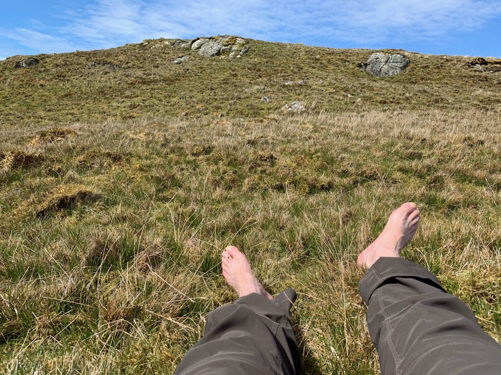
I won’t belabor the point, especially given the subject. But let me just say that pain in the feet when you’re supposed to walk 241 miles with 38 pounds on your back is a concern.

When I left Kilmartin I was on roads for most of the day, the exception being a few stretches of what the UK topographic maps (called Ordnance Survey maps) call an “old military road.” In most cases, they are roads created by the English army when it suppressed the Jacobite Rising for Scottish independence in the mid-18th Century.

(This, by the way, is not just a historical irrelevancy. Scotland has a history of being allied with France ((read: Europe)) against English domination. It helps explain why Scotland opposed Brexit.)

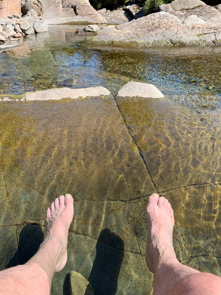
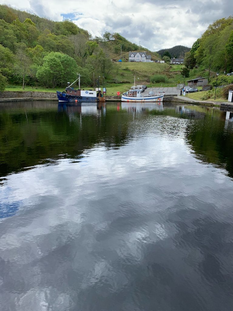
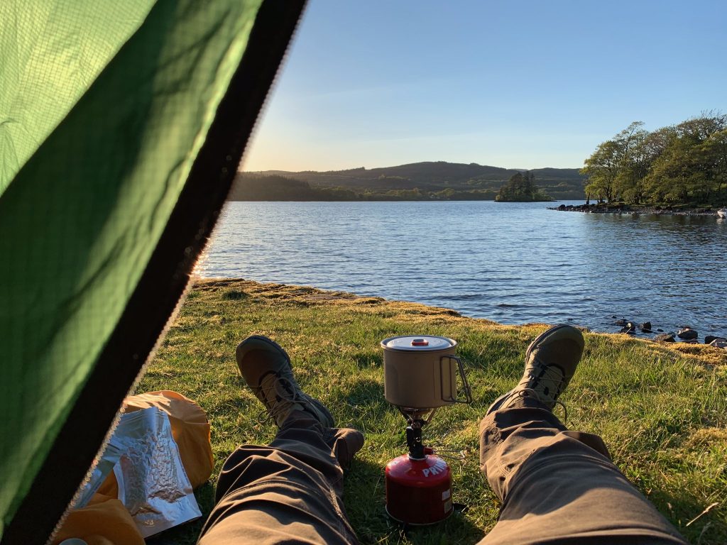
I was in enough pain that I stopped a mile and a half before my intended destination at an ancient boat ramp on a loch that is the site of the first photograph of this post. I looked around, not very hard, for someone to whom I could ask permission. Finding no one, I relied on “The Scottish Right of Public Access,” which allows people to walk across private land, and camp on it too (away from animals, habitations, military reservations, airports, and Queen Elizabeth’s estate Balmoral). It turned out to be far better than where I would have been if I’d gone the distance.

(I should say at this point that, four days in, I have not met a single other walker on The Great Outdoors Challenge. Three miles before the aforementioned stopping point I saw a man setting up a Hilleberg tent—the most popular shelter among Challengers—on a flat piece of ground next to the loch the road was skirting. I don’t know if he was a Challenger, although I suspect he was. I would have liked the company, but it was too early, for me at least, to stop.)

The next morning, the owner, a man named Richard—he didn’t offer his last name—appeared. I told him who I was and what I was doing and he was non-plussed by my pitching a tent near his derelict boats.

This is the Scottish way.

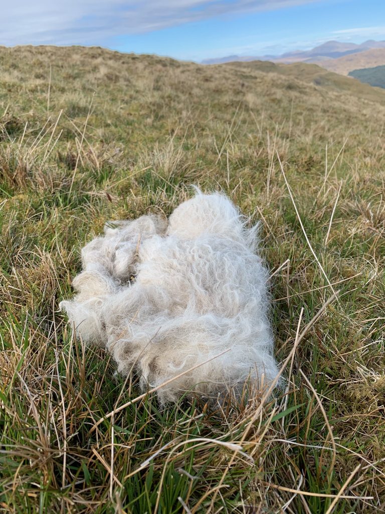
We chatted about the weather and I asked him about sheep; his is a working farm. He mentioned that the reason one sees so much wool on the ground this time of year—frankly, it reminds me of cotton on the road during harvest time in the Mississippi Delta—is that wool grows year-round, but when spring comes, with high-protein new grass for feed, the fibers become thicker and the fragile winter growth drops off. This is why you find random gouts of wool out in the hills.
I thanked him and headed down the road. The macadam—and, by the way, “macadam” is named after the Scottish inventor of road asphalt—was hard on the feet.

This was a one-lane road with frequent “passing place” pullouts. It was Sunday. Not many cars passed me. I heard a quiet one behind me and figured it was a Prius. It turned out to be four bicyclists. By the third mini-peloton that came by I had my phone out.
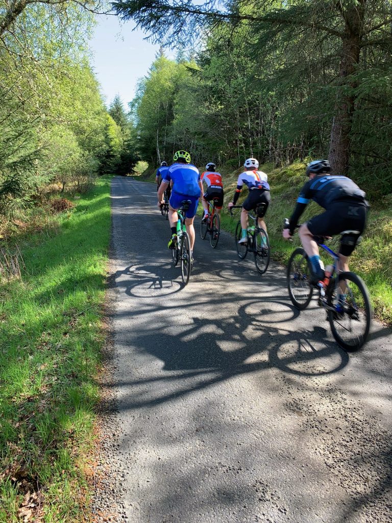
I trudged on. I forget the details.

My right foot is turned outward slightly and I have blood under four nails. An attentive fourth-year medical student would detect “antalgic gait.” But like I said, I won’t belabor things.

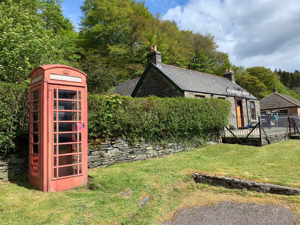
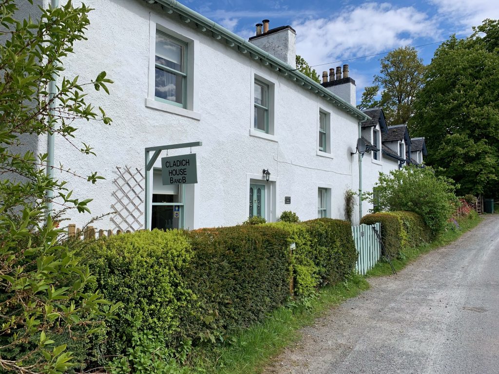
I was scheduled to stay in a B&B that night, and I did, finally reach it. It is in the village of Cladich, which has nothing other than two B&Bs. “Cladich” means beach in Gaelic, and refers to a sandy strand on the loch above the village that has been extirpated by a hydroelectric scheme (as they call them here).

The proprietress, Sarah, kindly washed my clothes.

I was glad to be there.
Day One

So I got off a little before 11 o’clock in the morning, the last of five people to sign out from this particular starting point of The Great Outdoors Challenge.

Here I am. I promise there won’t be many of these.

As you can see, it was a beautiful day. There’s supposed to be more of them ahead.

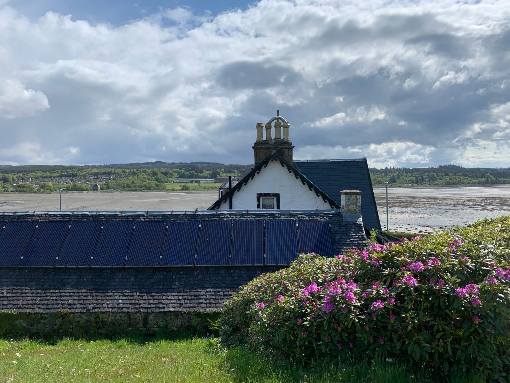
I got up onto the towpath of the Crinan Canal as soon as I could. It gave a great view of low tide in Loch Fyne.

There were a few walkers, but I was pretty much to myself. It wasn’t a bad way to start, although I do hope I run into some other Challengers. But I may not. I’m near the border of the event territory and the distribution of walkers pretty much follows a bell curve, with the majority in the middle of the territory, north of where I am.

The Crinan Canal opened in 1801, a time of great canal building in Britain. It’s only nine miles long but it served a useful purpose. It allowed vessels to avoid going around the Mull of Kintyre, which is the southwestern tip of the Kintyre Peninsula, which hangs down like a flaccid penis over Northern Ireland. Something to avoid! (And the seas can be rough there, too).

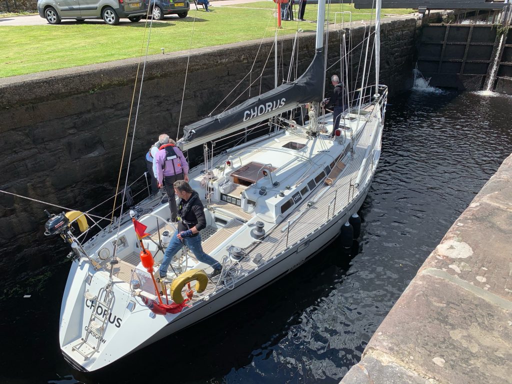
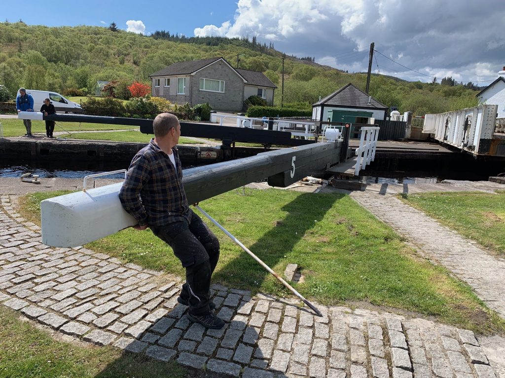
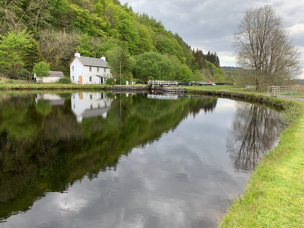
Steam-powered vessels—“puffers”—carried coal and other goods inland along it for a long time. Now, its water is navigated by pleasure craft. I watched several sailboats go through the openings of swinging bridges, and into locks, which are still opened by human muscle power.

There are 15 locks and seven bridges. It seemed that all the lock-keepers houses were still standing. In places the canal widened into large ponds the color of over-steeped tea. It was an area somewhat out of time.

Old and older

I talked with a canal worker named Russell Livingston, and threw a well-chewed chunk of wood into the canal for a retriever named Rufus.

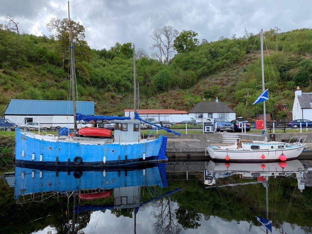
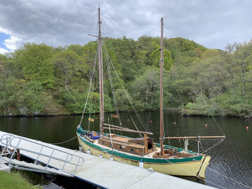
The antique feel of things was aided by some of the berthed boats I passed, which could have been left over from “The African Queen.”

There was someone stirring below decks on this one

My original route did not have me going to Crinan, the terminus of the canal. But Mr. Livingston convinced me it was worth it, and the detour was only three miles round trip. Plus, I was getting hungry and he said there was a coffee shop there.
I hid my pack in what appeared to be a closed car-repair business—lots of cars, no people—and walked up to Crinan. I encountered Rufus and his master again (they’d driven there) and one of the sailboats I’d watched go through a lock earlier in the day. I had lunch and two cups of coffee—good, put perhaps not worth three miles.

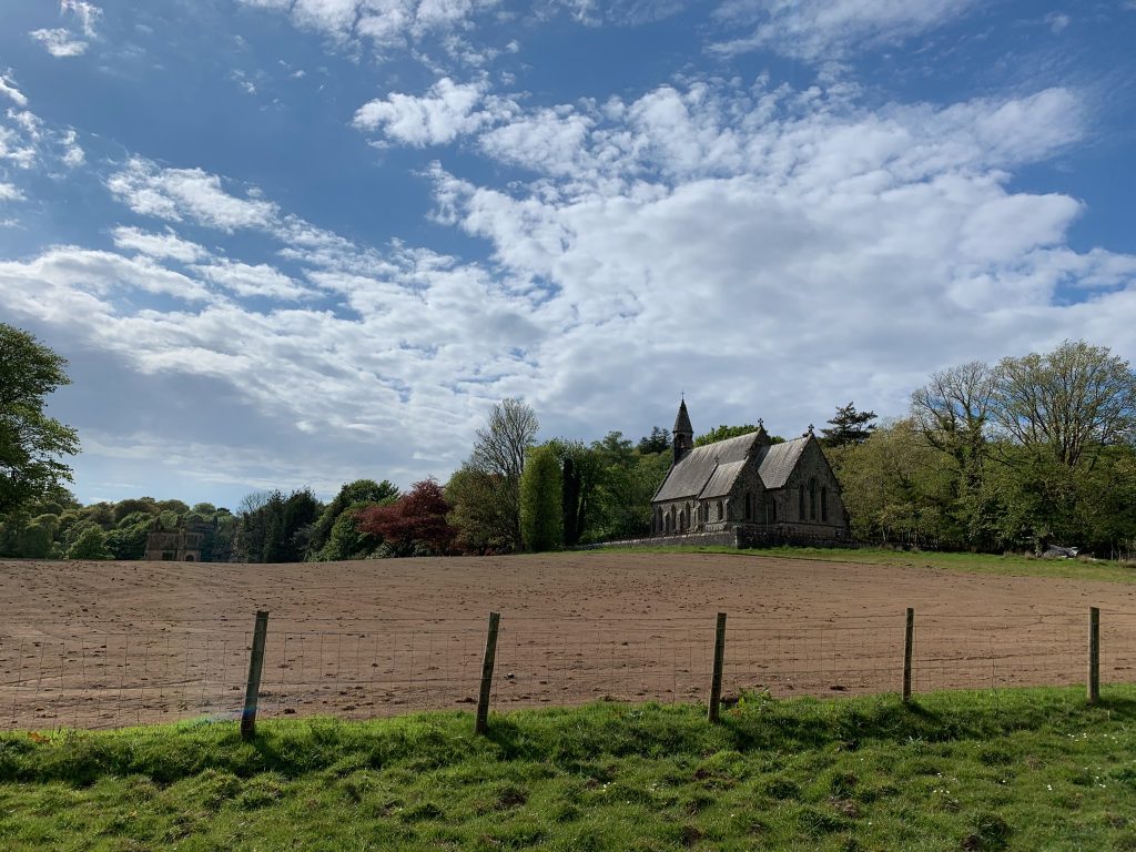
Finally I headed away from the canal, crossing a large marsh on a straight, hard road. I passed a tree plantation where a clawed crane was loading logs on a truck. I walked down a farm road and passed the first sheep and lambs of this crossing. I eventually saw the ruins of a manor house, and closer to the dirt road I was on, a church with a sign that said “Dangerous Building.”

The ruined estate house is barely visible in the distance on the left.

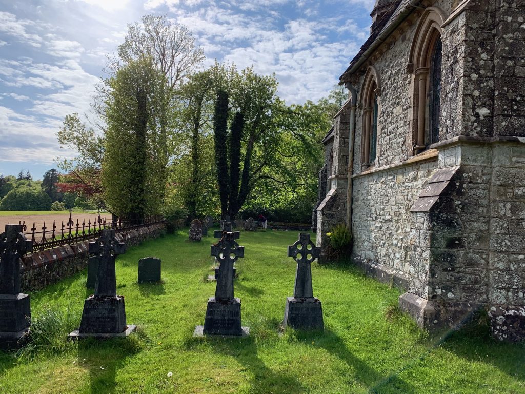
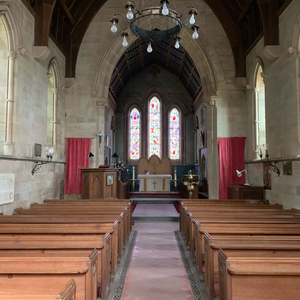
Feeling courageous and sore of foot, I took the road into the church. A red car was parked in front of it. In the churchyard was a woman named Christine Young, who was tidying up the plantings in front of the gravestone of her husband, who died four years ago.

She told me the church, St. Columba’s, was Episcopal and the home church of the Malcolm family, which had been lairds of the Poltalloch Estate for fourteen generations. The estate house hadn’t been occupied since 1954–the family couldn’t afford the roof tax—but the church still had a service one Sunday a month.

Christine, who was about my age, lived in an estate cottage near the church. She’d moved up from southern Scotland in her thirties to do her internship for nursing school, which she’d gone to after an earlier marriage had ended. Her late husband was a psychiatric nurse. She’s a general medical nurse at a hospital about 10 miles away, a year and a half from retirement.

She let me into the church, which she said is always open. It was dusty and suspended in time.

St. Columba’s Church

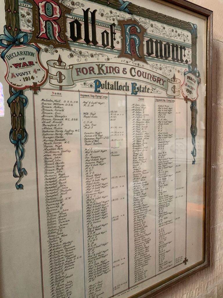
On the back wall were two framed “rolls of honor,” one from each world war. They listed members of the Malcolm family and workers on the estate that had served overseas or in the home services. I didn’t count, but there were probably a hundred from World War I, and half that many from World War II.

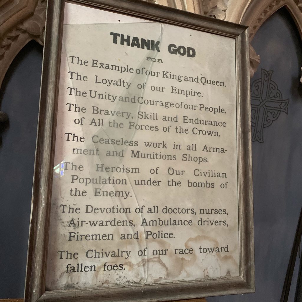
In the sacristy was a framed broadside under broken glass thanking the king, workers in munitions factories, and “the heroism of our civilian population under the bombs of the enemy.” It was obviously from World War II.

After a while I headed up the dirt road toward Kilmartin, my destination for the day. It has a museum devoted to Neolithic, Bronze Age, and medieval Scotland, and a hotel where one can buy dinner, and a sports field where walkers are allowed to camp.

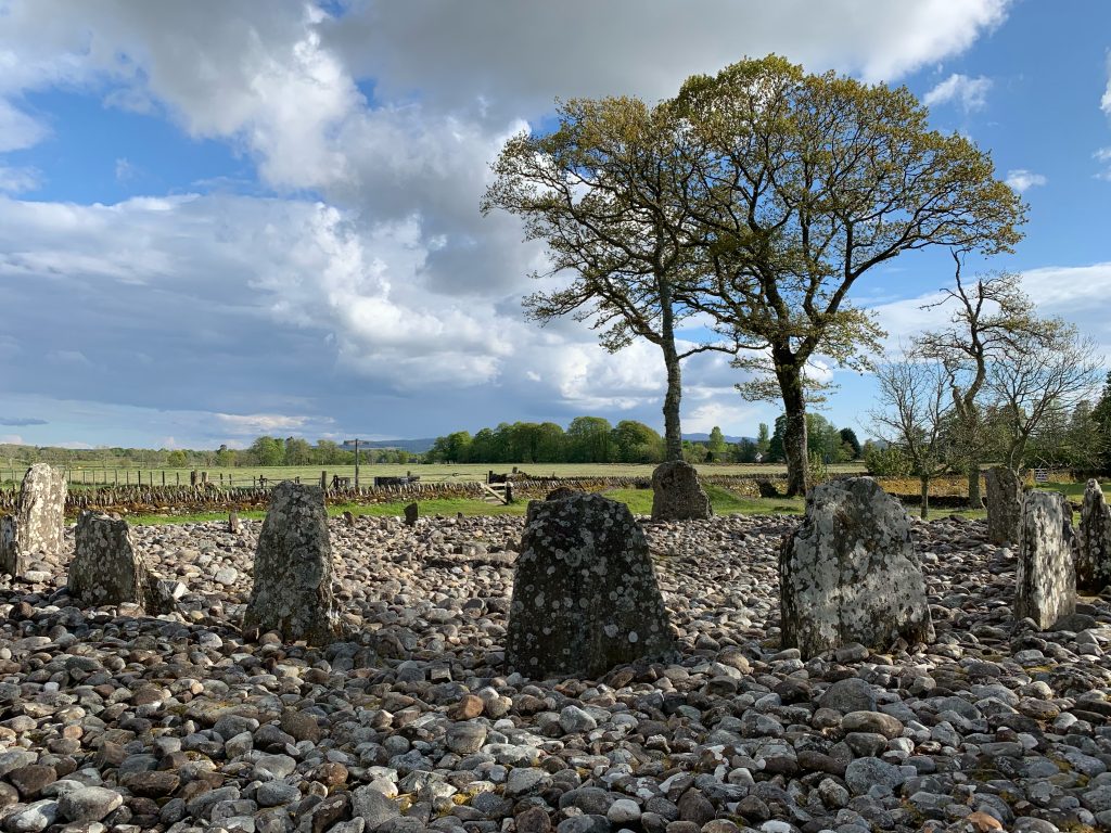
Along the way I passsed a stone circle, of which there are many in Scotland. Their function isn’t fully understood, but appears to involve astronomical or seasonal observations.

Stone circle, about 5,000 years old

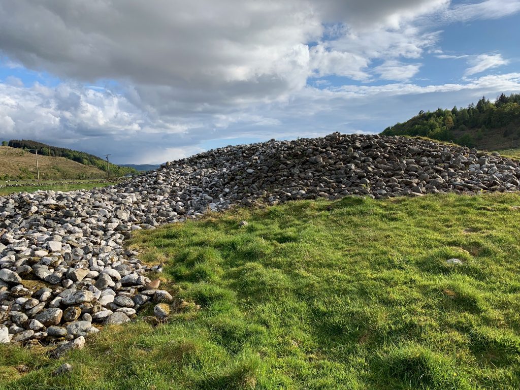
And several cairn-covered graves, called “cists.”

Stone cists

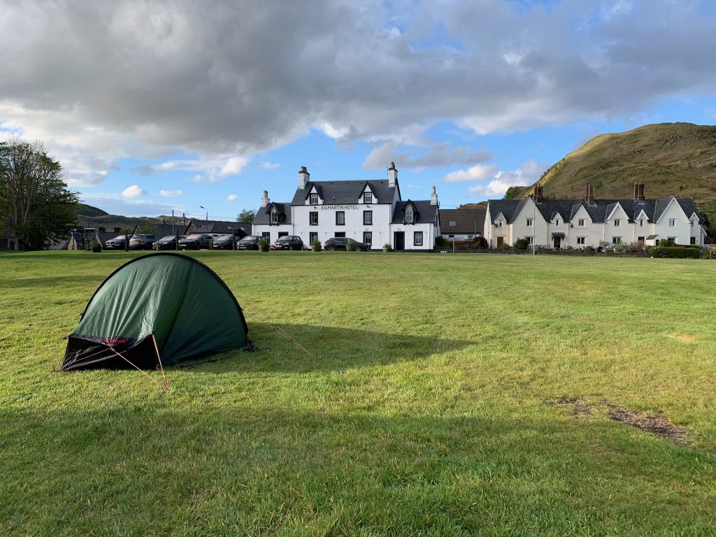
At last I got to Kilmartin. I set up the tent and went inside the hotel for dinner, and to write this.

The Kilmartin green and sports field

I’d walked 14.1 miles, according to the walking app on my phone. My feet are not quite up to this yet. Tomorrow I’m heading into the hills—it’ll be a while before the next post—and the distance will be greater.

Ardrishaig

This is where I’m starting—a depopulated village on Loch Fyne, which is one of the west coast’s many “sea lochs,” long arms of the Atlantic Ocean that invade the mainland like fjords. It took a little over three hours to get here from Glasgow by bus.

As with all places of habitation in Scotland no matter the size, Ardrishaig is rich in history, and especially the history of the country’s diaspora. Which we’ll get into, of course.

But first, here are a few statistics about this year’s Great Outdoors Challenge, thoughtfully compiled by Sue Oxley and Ali Ogden, the event’s indefatigable coordinators.

There are 379 walkers from 16 countries. The vast majority are from the United Kingdom, but there are also 29 from the United States, 21 from the Netherlands, seven from Denmark, six from Canada, five from Germany, and one each from Austria, Barbados, Belgium, Finland, France, Ireland, Poland, Sweden, Uganda—and the first person ever from Japan.

The youngest walker is an 18-year-old man from Oregon. The oldest are a couple, the Borwits of Laurel, Maryland, whose combined age is 176. The median age looks to be about 60.

One person is making his 29th crossing, and another his 28th. (This is the 40th year of the event). 103 people are doing it for the first time. 77 people are leaving from the most popular starting point, a place called Shiel Bridge. Only five are leaving from Ardrishaig.

Which gets us back to the subject at hand.

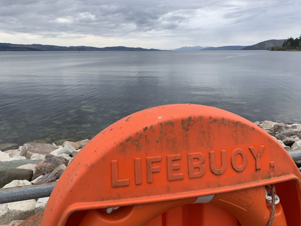
Looking south on Loch Fyne

The village is a couple of streets clinging longitudinally to the western shore of Loch Fyne. It has two hotels (only one of which—mine, luckily—serves dinner), two convenience stores, a “hair-and-health” salon, a bar that appears to be closed, a flower shop, a second-hand store, a Jehovah’s Witnesses Kingdom Hall, and lots of places for rent or sale.

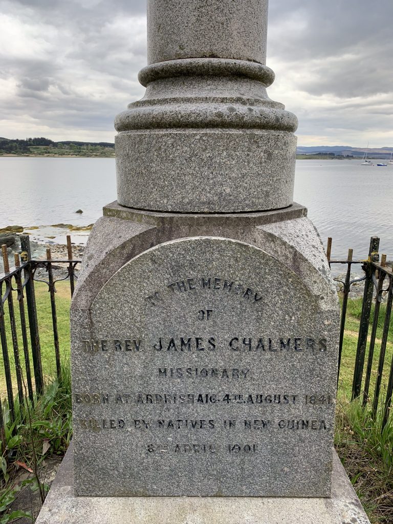
Directly across from the hotel, next to the loch, is a small memorial to James Chalmers, a missionary and son of Ardrishaig who was killed by natives in New Guinea in 1901–a member of the diaspora who didn’t fare well.

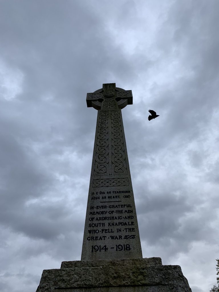
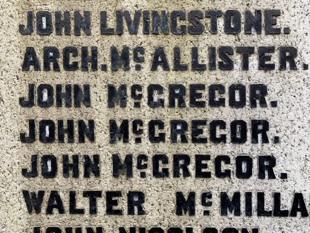
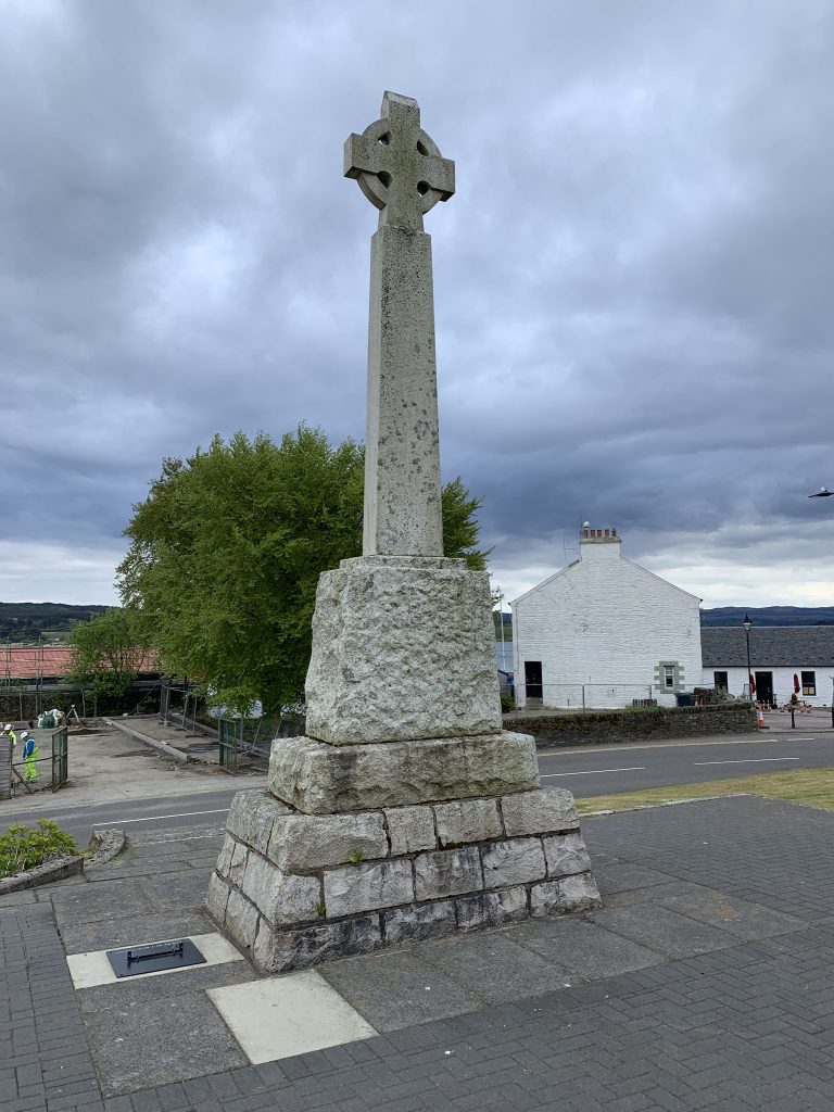
Farther down the road is a cenotaph to the dead of the Great War, which every Scottish village has because none was untouched by that conflagration. Forty names are listed, the officers named first—a protocol abandoned in late-constructed monuments because of complaints from veterans.

The names include three John McGregors, and two Grahams (Hugh and Colin), who served in the New Zealand forces. Perhaps they were brothers who’d emigrated together.

The monument gazes at the loch, as the men it memorializes did.

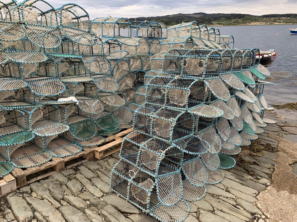
There was still a little activity to be viewed, even after 5 o’clock. I wandered down to the shore and found a 47-year-old fisherman named David Russell (camera-shy), who was power-washing his langoustine traps.

Langoustine traps

The langoustines are off shedding and hiding for a month, so this is the time to pull the traps, scrape off the barnacles and slime, and make them look good (which they do).

This is a year-round fishery. Russell runs about 1,000 traps, which seemed like a lot to me, although he said some operations have more than 4,000. They’re fished once every three days. The bait is hard-salted herring. Rotten or soft bait isn’t used because the crabs take it all. Ten in a trap is a very good haul. The average size of his keepers is 100 grams (although frankly that didn’t give me much of an idea of size).

The shellfish are sold live, exclusively to Spain, he said. You mean I can’t buy a dinner of langoustines here? I asked.

“Not here you can’t,” he said. “But when people from Scotland go to Spain, it’s the first thing they order.”

David Russell is Ardishraig’s only fisherman. He said there used to be a big herring fleet here, but that fishery collapsed a half-century or more ago.

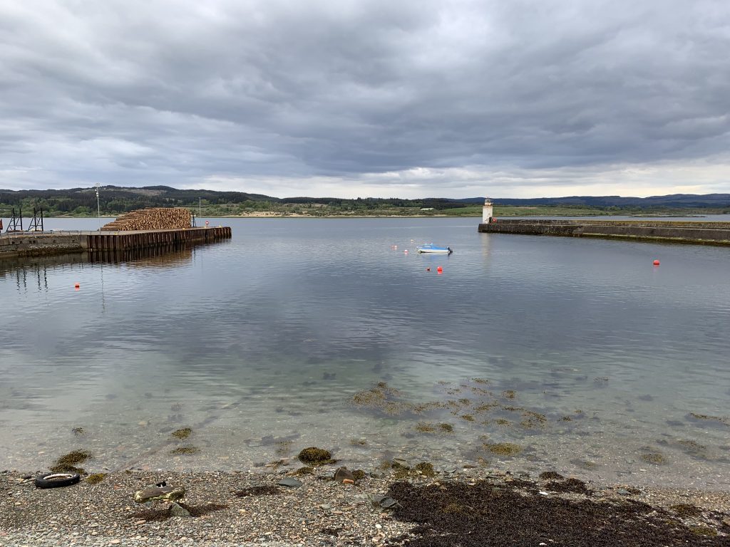
“In the harbor you could walk on boats all the way to the lighthouse,” he said, pointing to a sea wall behind him. When I walked over and looked, there was one forlorn motorboat and five unused mooring balls.

The harbor in Ardrishaig

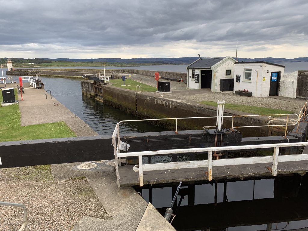
A canal enters Loch Fyne in Ardrishaig. It looks to be still operating, although too small for modern shipping. I’m walking up it for part of today, so I may soon know more.


The Crinan Canal

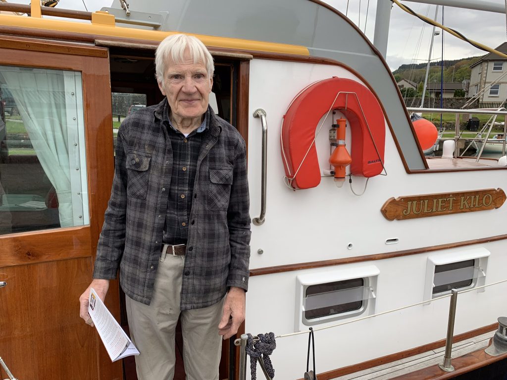
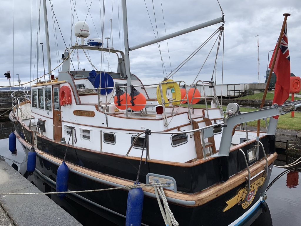
Several sailboats were berthed in a basin near the first lock. Some were a few weekends short of presentable, but one was a showpiece. I admired it with an okay sign, and the owner, Jackie Kay, stepped out of the cabin to greet me.
Jackie Kay on Juliet Kilo

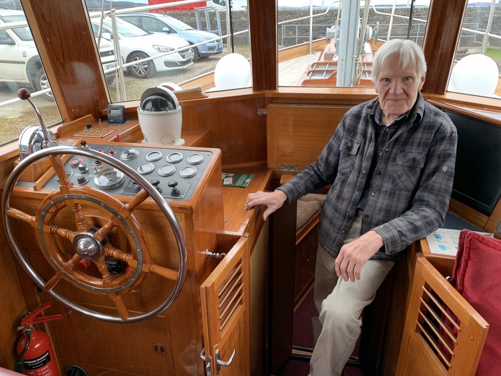
We talked for a bit and then, as it was cold, he invited me inside.

“I keep on top of everything. That way it’s easy.”

Mr. Kay is 80, a widower. He runs a small boatyard in town that specializes in refurbishing “classic boats”—wooden vessels from yesteryear. Among his accomplishments are two 26-foot steam launches, now plying the River Thames in private hands. He also builds small wooden boats, mostly dinghies.

He built his boat himself. It took seven years. He’s lived on it since his wife died, although he lived ashore in his house last winter and had the boat under cover, so he could get all the varnishing done at once. I told him I’m always amazed when I see a wooden boat with spotless bright work.

“I keep on top of everything. That way it’s easy,” he said, although I was not entirely convinced.

The boat’s name, Juliet Kilo, is the letter-naming protocol for “J” and “K,” his initials. In the summer he takes it out for a sail “about once a fortnight,” he said. He has three children, two of whom like to sail. I told him he was kind to interrupt his reading to invite a stranger aboard.

“Well, it’s always nice to hear a compliment on the boat,” he said.

He’s still working, and I told him I might stop by his boatyard tomorrow to see it. He said that’d be fine. But it won’t happen, I’m afraid.

It’s time to walk.

Juliet Kilo

Glasgow’s Notre Dame

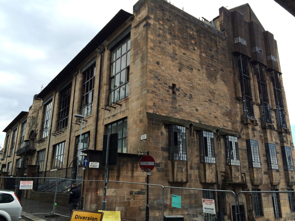
Before each of my treks in The Great Outdoors Challenge I’ve stayed in a hotel one block west of the Glasgow School of Art. My first year, 2014, I also stayed there for a night after the walk. When I arrived back, the streets around the school where cordoned off and crowded with fire trucks and cranes.

Glasgow’s most famous building had burned while I was away.

The Glasgow School of Art Building, finished in 1909, is the masterpiece of Charles Rennie Mackintosh who, with a few others (including his wife, Margaret), invented the “Glasgow Style” just before and after the turn of the 20th Century. It epitomized the city’s ascendancy as a center of design and craftsmanship in the era of Art Nouveau along with its older identity as a builder of ships, bridges, and heavy machinery. (And to drive home that analogy, consider that Glasgow launched more new-vessel tonnage in 1913 than either Germany or the United States.)

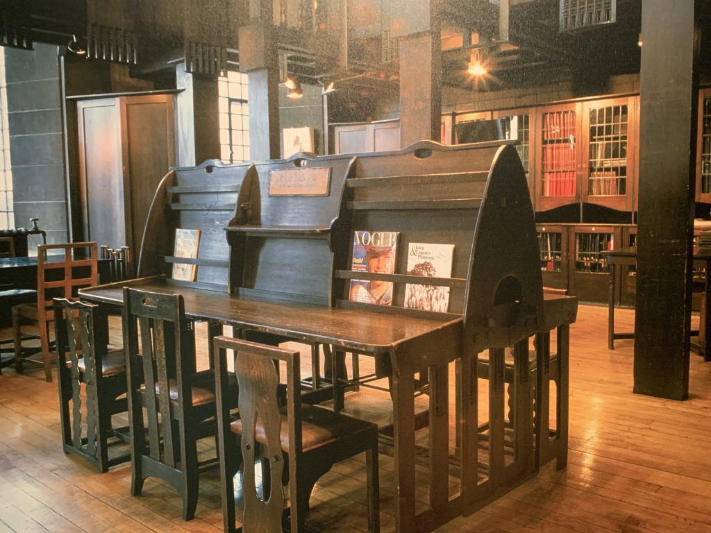
Now known as the Mackintosh Building, it housed classrooms, studios, and work rooms. The east end had an oversize door through which circus animals were led into a studio where students could draw them. In the cavernous library of dark wood, every appointment–chairs, tables, shelves, desks–had been designed by Mackintosh.

The fire, which destroyed the library and about 30 percent of the building, shocked Britain’s architectural community, and especially the graduates of the School of Art.

One of them, Clare Wright, wrote of the building: “For many, especially those of us who experienced our adolescent creative coming-of-age there, it is like a parent . . . It validated our creativity and moulded our architectural outlook irrevocably. It was the powerful presence we could kick against and throw paint at, climb over and revel in, which it seemed could not easily be damaged, even by 100 years of teenagers’ artistic mess. It had places we could go to be calmed and soothed.”

There was little debate about whether to rebuild it, although everyone agreed the work would take years. Money was being raised within days of the fire, which investigators determined started when flammable gases from an aerosol can were ignited by the hot bulb of a projector.

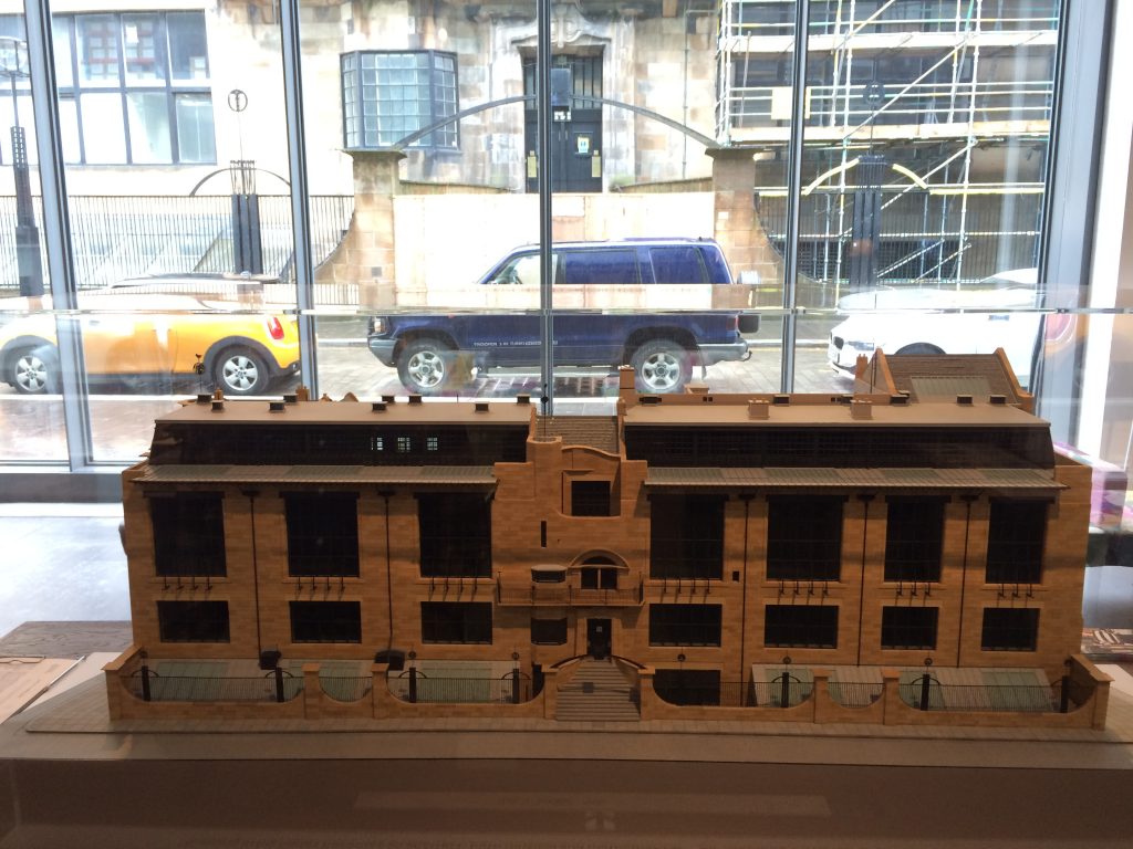
Here is a model of the building, with the real thing through the window across the street.

Charles Rennie Mackintosh’s famous building, through the window, with the model in foreground.

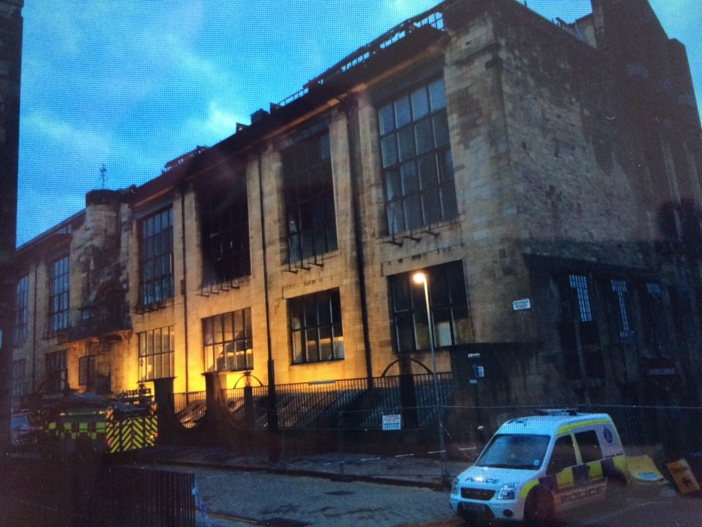
Here are two pictures I took in 2014, a few days after the fire.

The western end of the building after the fire in 2014.
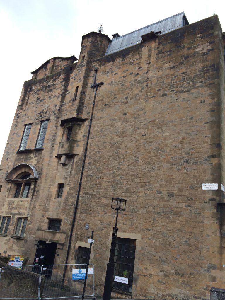
And by day.

When I returned in 2015, barriers were still up the and rehabilitation was underway.

A year later, the work goes on–here at the east end.

Then on June 15, 2018 the unimaginable happened. The building burned again. This time it was much, much worse.

Early press reports were that 80-90 percent of the building was destroyed. The roof collapsed. The building is on a hill and the downslope facade was rendered unstable and eventually had to be taken down. Both the east and west facades were also damaged, but not irreparably.

The Glasgow School of Art had allocated £49 million for reconstruction after the first fire. The second one destroyed £24 million in restoration work.

A fire suppression system had arrived at the site a few days before the fire but wouldn’t have been up and running for months. The one fortunate thing was that architectural features and furniture salvaged after the first fire were in storage and safe.

The school and the lovers of the building vowed it would rebuilt. Repair was no longer the right word.

“Beyond that it is too early to say much,” the School of Art press person, Lesley Booth, told me in an e-mail. “You will appreciate there is a complex mass of permissions that will be required before we can actually begin the process of the rebuild.

“In terms of cost, about which there is much speculation, again it is too early to assess what this is likely to be, but we were insured and it is our aim not to take any public money for this project.”

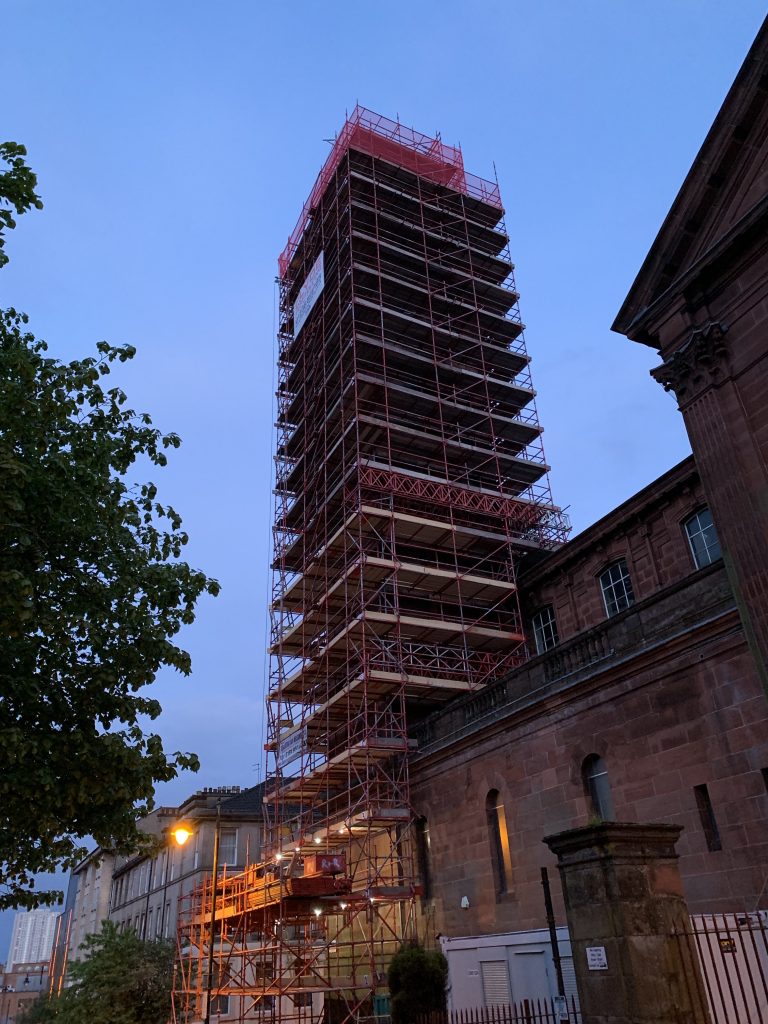
This is what the west end looks like now.

The west end in May 2019

And the east end.

The east end

More than 450 tons of “retention scaffolding” has been erected to stabilize the walls. In places it’s turned the Mackintosh Building into a piece of environmental art–Christo goes tubular.

The east end, head-on

Glasgow, in fact, appears to be in a frenzy of rehabilitation. Walking one evening I passed another building, itself a piece of art.

The cause of the second blaze is uncertain, although it too has been declared an accident. Miraculously, nobody was injured in either fire.

Needless to say, with or without his building, Charles Rennie Mackintosh lives on.

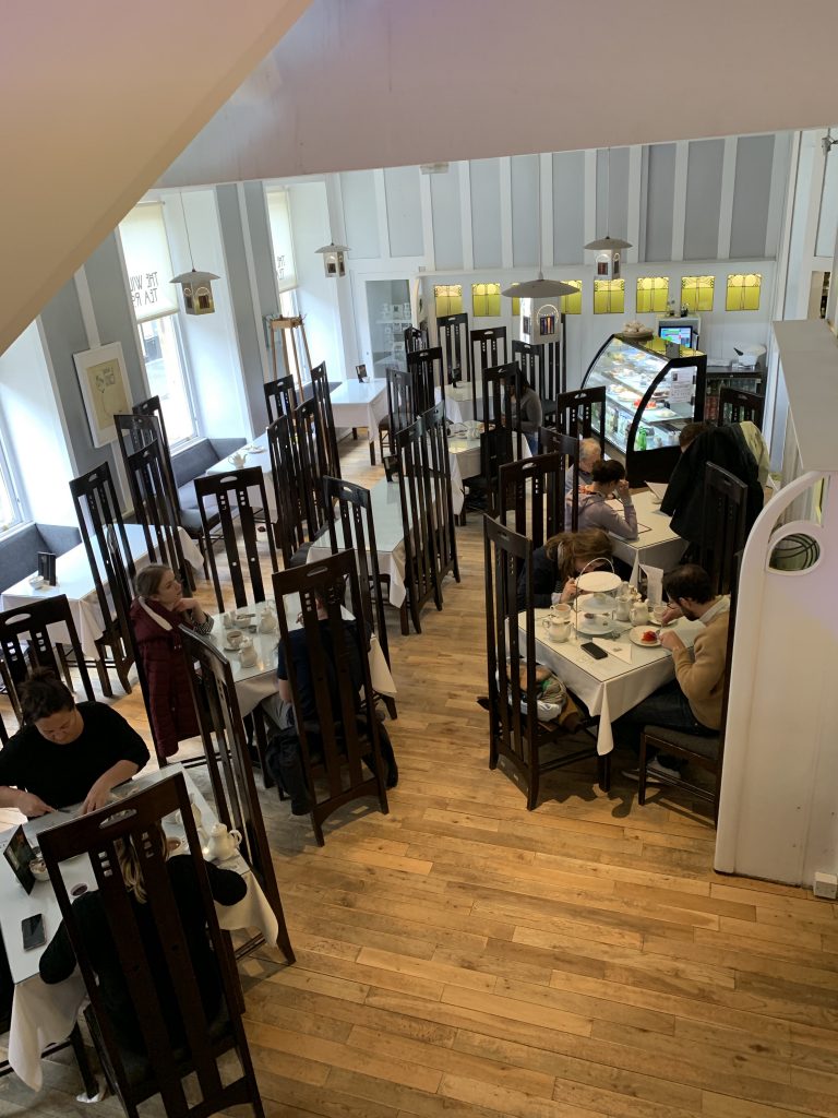
This is the reconstructed Willow Tea Rooms where I had a 1,000-calorie snack a few days ago. Mackintosh designed four tea rooms in Glasgow, down to the dishes.

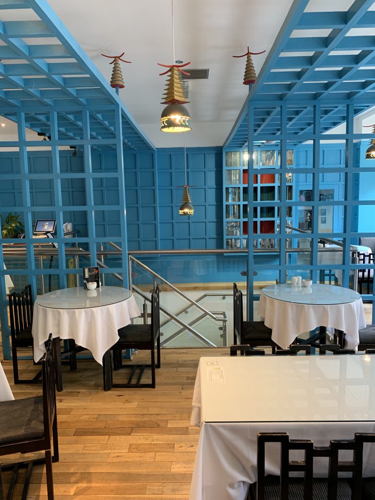
One floor above is his Chinese Tea Room, a fusion of east and west.

The Chinese Tea Room

Time will tell whether the Mackintosh Building’s library will be reconstructed. Detailed drawings and laser-based measurements exist, so it’s possible.

The library in Glasgow School of Art’s Mackintosh Building, lost to fire

There are several Mackintosh buildings in and around Glasgow, and an extensive collection of architectural sections, furniture, and art at the Kelvingrove Museum and the University of Glasgow.

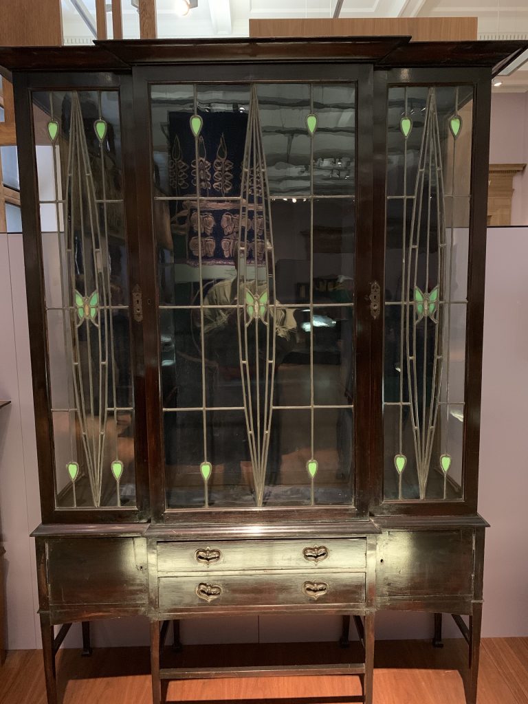
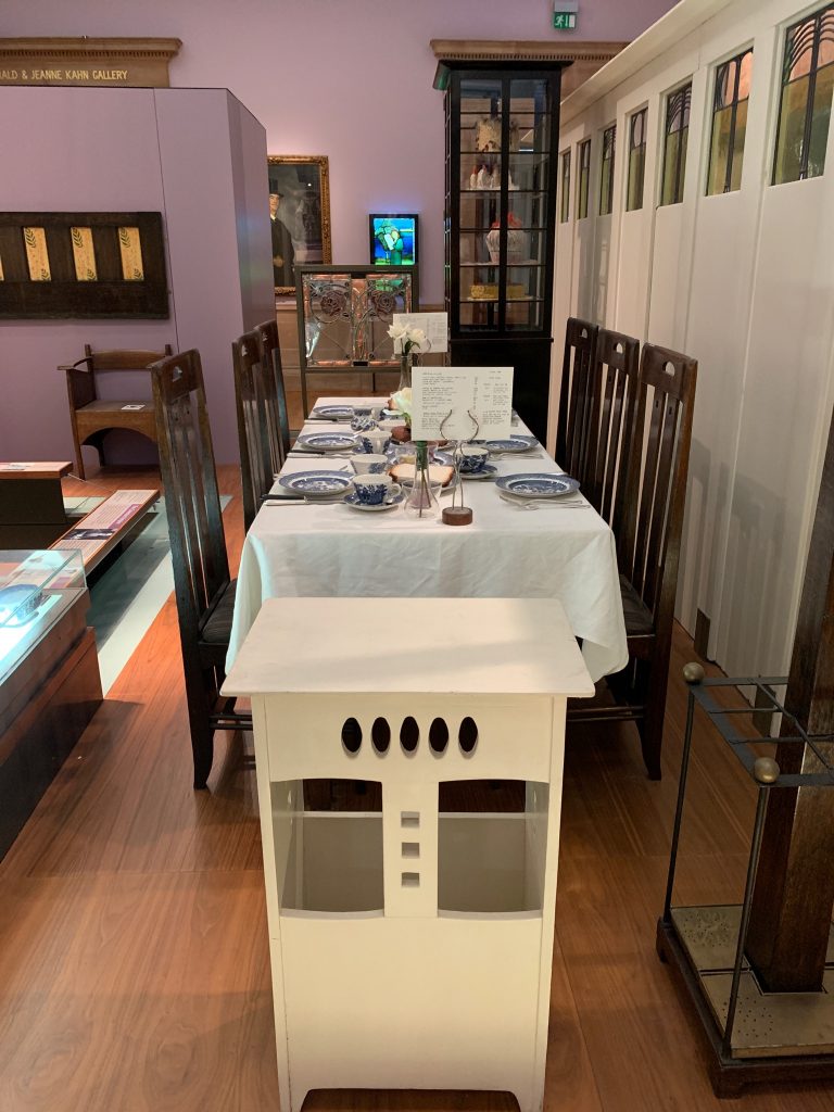
One can’t do justice to Mackintosh’s indiscriminate genius, so I won’t try. Here are a few of his pieces of furniture, at the Kelvingrove.

One of many pieces
A dinner table and setting

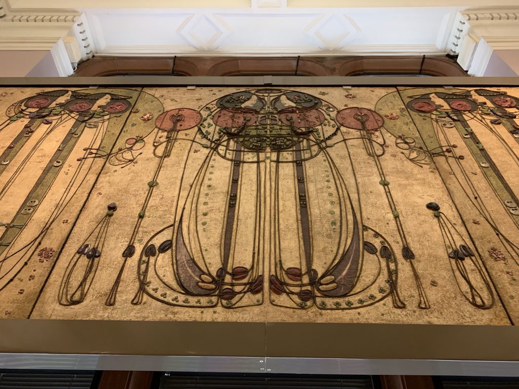
And here, a decorative architectural panel, done in collaboration with his wife, Margaret:

Also at the Kelvingrove

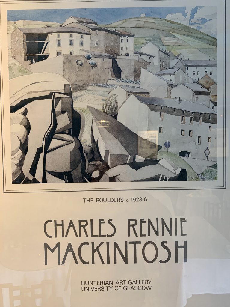
Mackintosh spent the last decade of his life in Southern France, mostly painting.

Mackintosh’s output was prodigious and first-rate across many disciplines–Leonardoesque to a degree. Nevertheless, he died in 1928 at age 60 relatively unknown and not wealthy (and also childless).

A poster of one of Mackintosh’s paintings

In biographical materials much is made of the fact that Mackintosh had a serious drinking problem much of his life. Although not to embrace that, it does bring to mind Abraham Lincoln’s supposed comment about General Grant’s drinking: “Find out what brand of whisky he drinks so I can send a case to my other generals.”

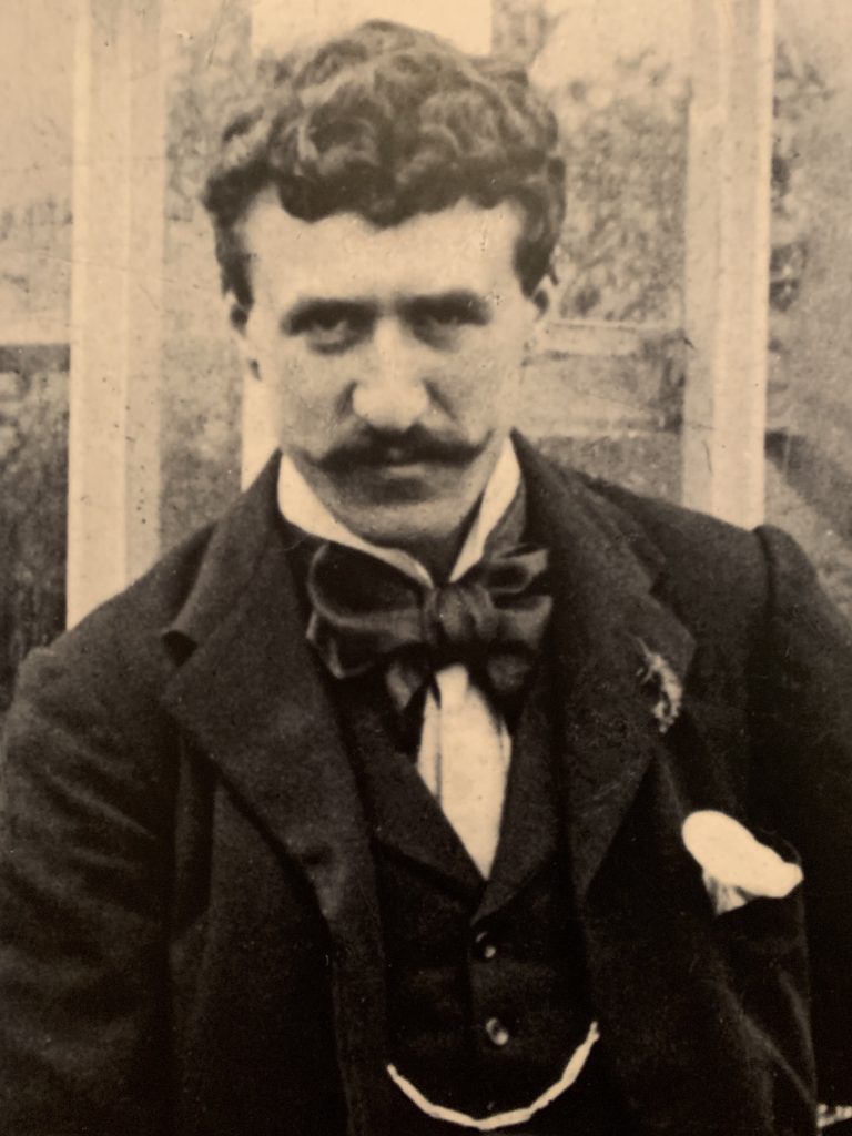
Charles Rennie Mackintosh (1868-1928)

Residents of Baltimore and its environs may be happy to learn that the Walters Art Museum will be one of three American museums to host “Charles Rennie Mackintosh: Making the Glasgow Style,” a show with more than 250 objects now touring the world.

It will be in Baltimore October 6, 2019 to January 26, 2020.

No. 4

I’m back to do The Great Outdoors Challenge a fourth time.

As some of you may know, this is a two-week backpacking hike across Scotland. About 300 people leave from various places on the West Coast on the same day—Friday, May 10 this year—and finish 13 or 14 days later at various places on the East Coast. Traditionally, they take by off their boots and wade into the North Sea.

There is no set or required route for this crossing. Each route is “bespoke” (as the organizers like to say), crafted from the skein of hiking paths, farm roads, ATV tracks, drover’s trails laid down in medieval times, modern paved thoroughfares, and in some places trackless land. Devising a route, describing it to the organizers and their committee of vetters, and getting it approved (often with revisions) takes almost as much time as the walk.

It’s what Challengers (as we’re called) do in February.

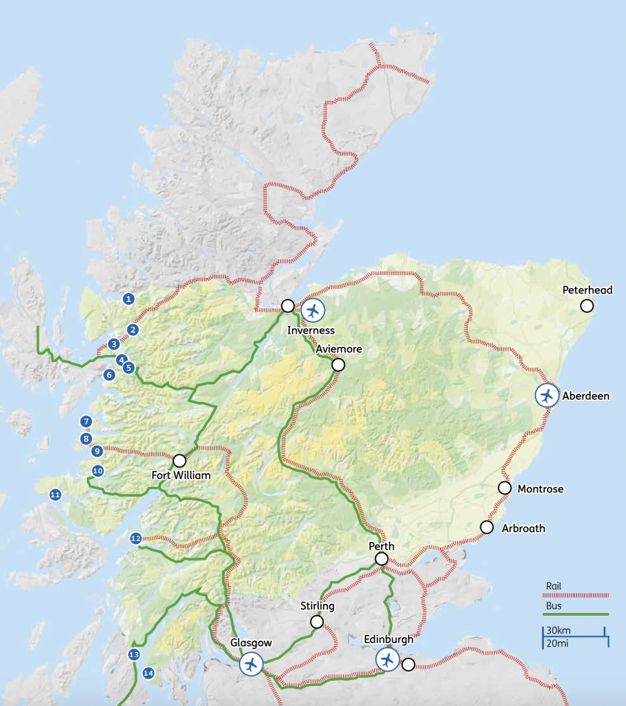
Here is a map of most of Scotland, with the territory in which the Challenge occurs denoted in green. It’s a lot of territory.

One of the many appeals of the Challenge is the opportunity to explore some of the Highlands, the sparsely populated, largely treeless, unquestionably legendary region that comprises the northwestern part of Scotland. However, there’s no avoiding the less hilly and more thickly settled eastern half of the country (which is beautiful in its own right).

The territory of The Great Outdoors Challenge

This year I’m starting from Ardrishaig, Number 13, in the lower left corner of the map.

In my first crossing I started from Maillaig, Number 7, which is midway up the West Coast. The second time I left from Strathcarron, Number 2, the second-most northerly departure spot. The the third time, in 2016, it was from Torridon, Number 1, the most northerly.

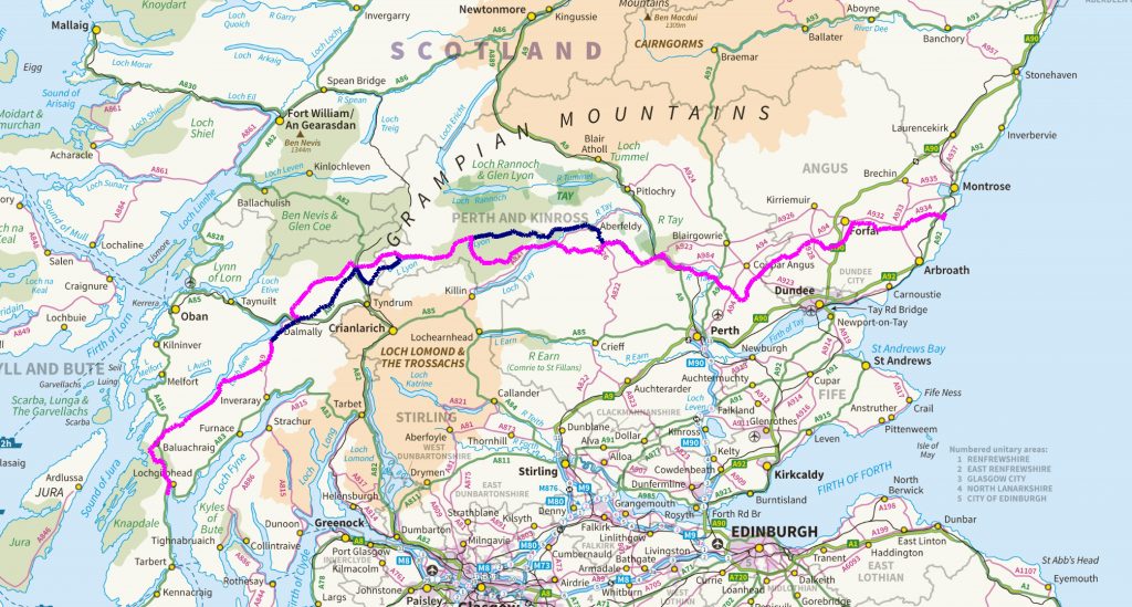
Here is a detailed view of the route, in pink. The blue sections are “foul-weather alternatives” that you have to file (and use) in case weather doesn’t permit following the trackless or high-altitude intended route.

The route of the 2019 walk: 241 miles

Montrose, on the east coast, is where we all gather for a post-walk banquet. You don’t have to get there by foot. Most people put their feet in the sea somewhere else, and get to Montrose by bus or car.

This crossing will be less wild than the previous ones. I am staying in B&Bs or guest houses five nights—which is either a concession to age or an adjustment to a civilized route, take your pick. Many Challengers would call me soft.

The route borrows heavily from one taken in 2011 by Jean Macrae Turner, a wonderful Scotswoman whom I met on my first or second Challenge. She’s a surgeon, now retired, who’s done the Challenge with her husband, Allan (also a surgeon), and one of her sons, but in recent years has been doing it alone, as she is again this year. Her 2011 route had a historical theme, passing Neolithic and Bronze Age sites and ruined castles, which appealed to me. I’m thankful for her advice.

While I’m at it, let me once again thank Roger Hoyle, a
retired lawyer and Englishman whom I met by chance in Moscow in 2013, for telling me about the Challenge and advising me on routes, gear, and people in each of my crossings. I couldn’t have done this without him.

As I write this I’m in Glasgow, by now one of my favorite places.

It’s the Baltimore of Scotland—once a great builder of ships, the medical capital of the country, home to unwell-known art museums, post-industrial, full of row houses and heroin deaths.

I’m staying at the same low-rent hotel—the Victorian House—that I’ve visited in the past. It’s one block from the Glasgow School of Art and the beleaguered Mackintosh Building, of which you’ll learn more if you stay tuned.

I’m trying to make this crossing lighter. I’ve spent hundreds of dollars to buy dozens of ounces in weight-reduction. I have a new backpack—my 20-year-old one developed a tear from overeating—as well as new “waterproofs” (as they call rain gear over here), a new stove, and a few other items.

I’ve just mailed four envelopes overstuffed with freeze-dried food and topo maps to places I’m stopping at along the way. I’m carrying two—two—canisters of propane fuel for the stove because the camping store man convinced me that where I was going they wouldn’t have any. (Macbeth, take note.) And of course the five pounds of electronics, which is my concession to me (and you, if you’re still listening).

That said, my backpack is lighter this time (even without all the food I’ll be carrying) than it was in the past.

33 pounds

Whether it’s light enough: we’ll see.

In the meantime, there are things to see and do in Glasgow.

Newer posts »

© 2025 A wee walk

Theme by Anders NorenUp ↑