A blog about a hike across Scotland (and possibly other things)

Month: May 2022 (Page 1 of 2)

One more badge

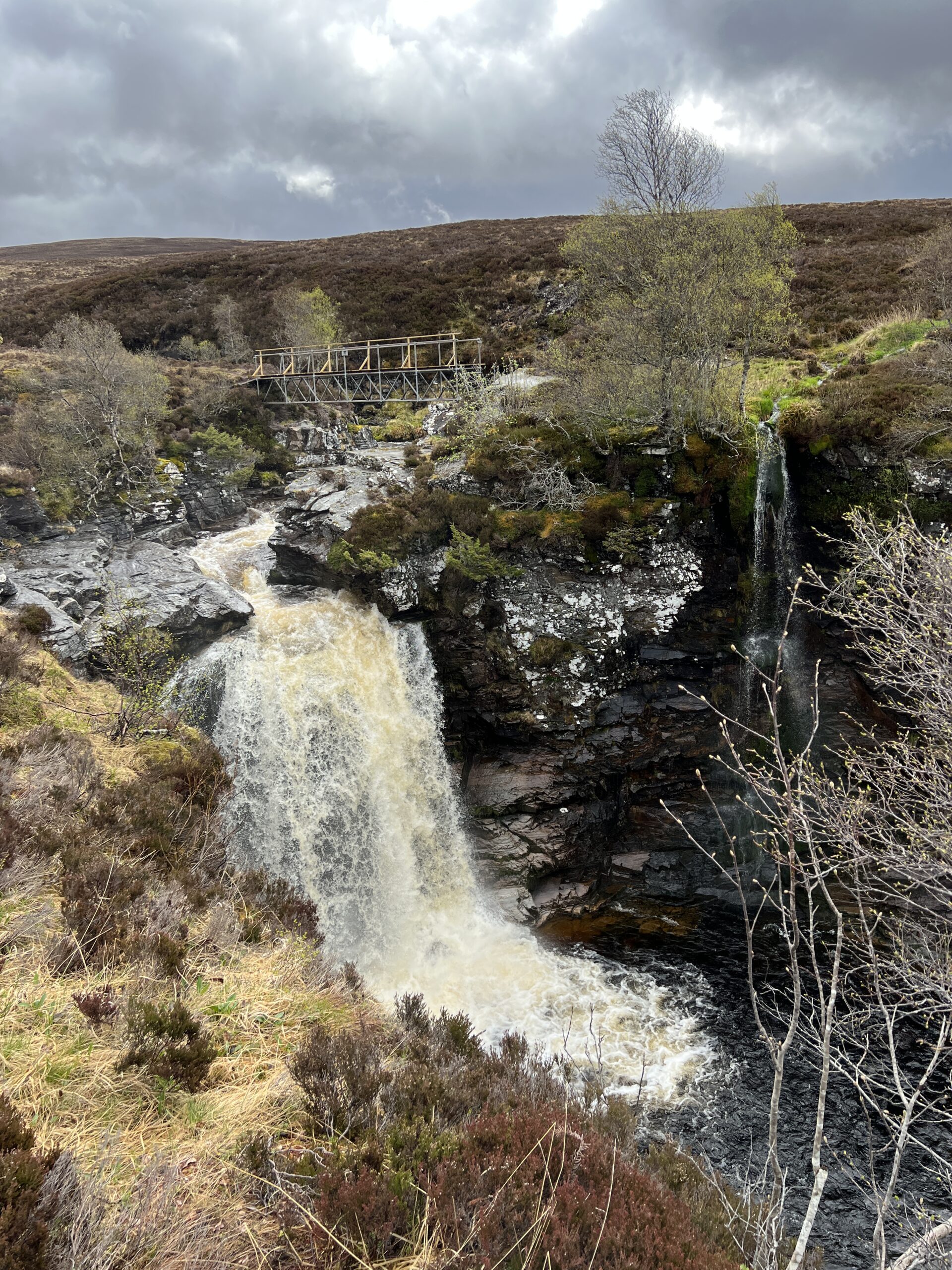
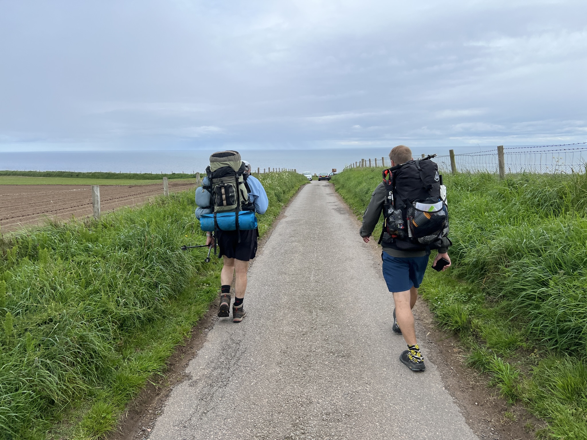
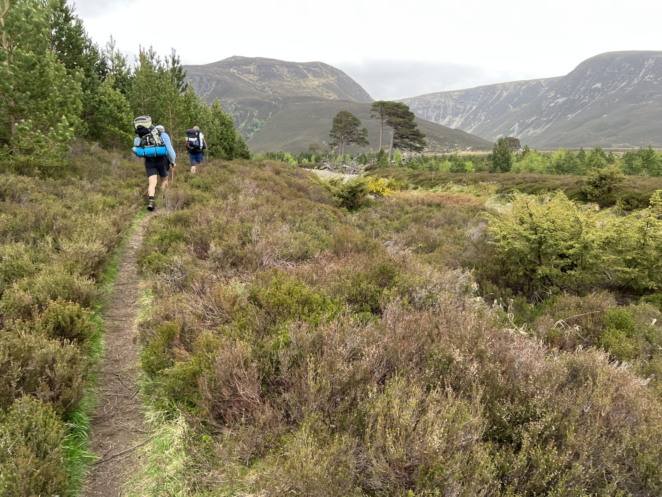
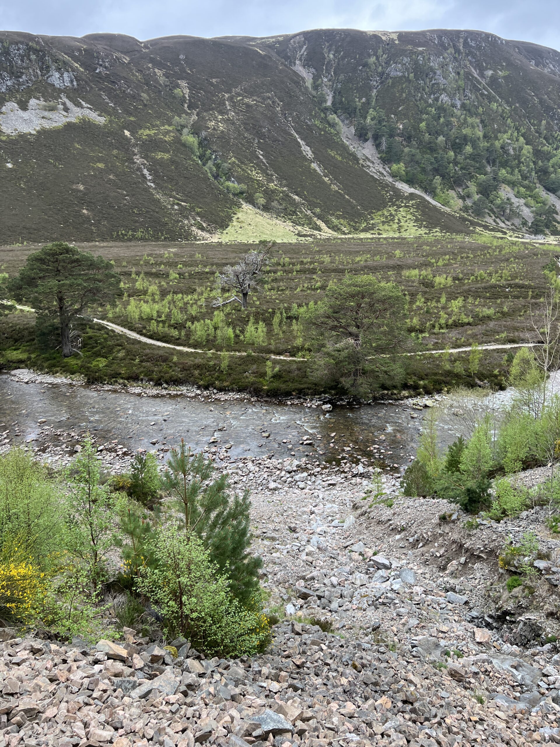
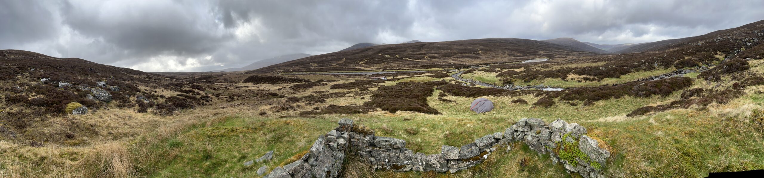
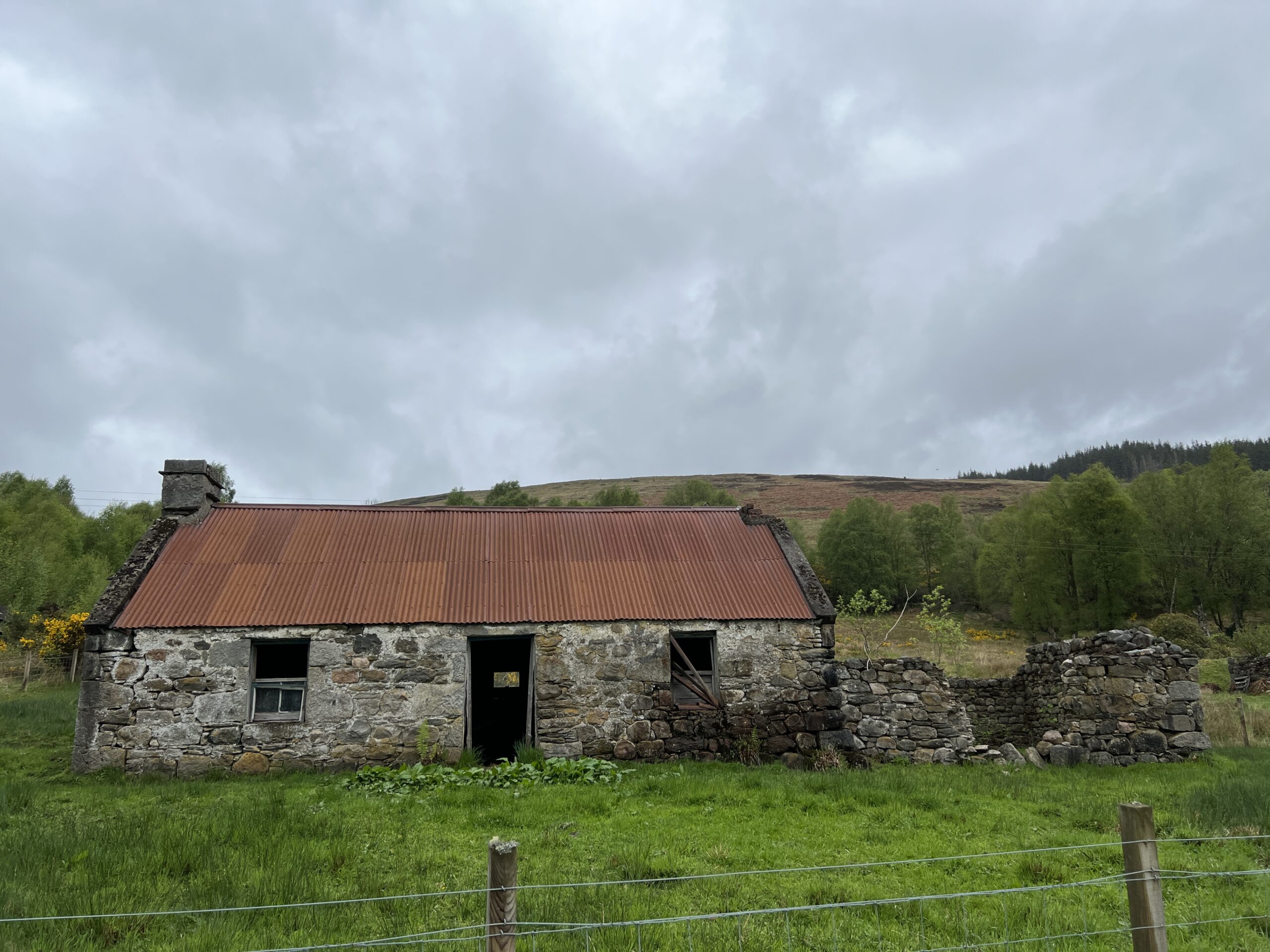
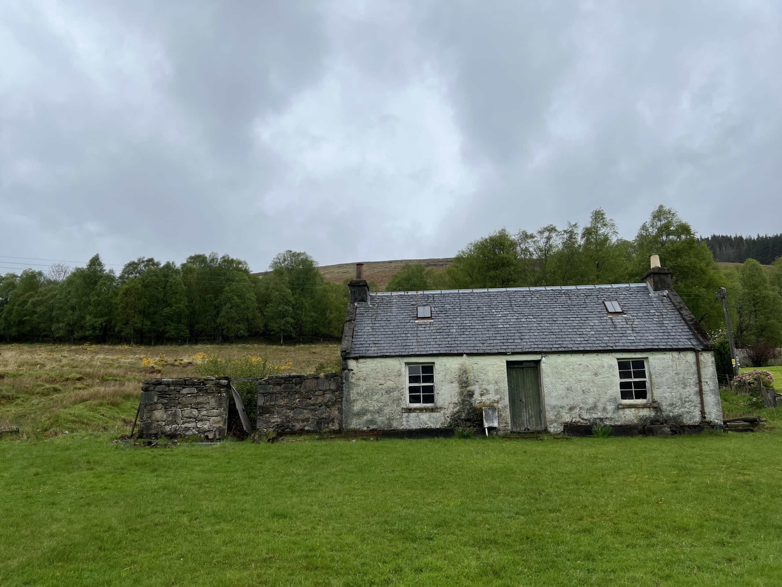
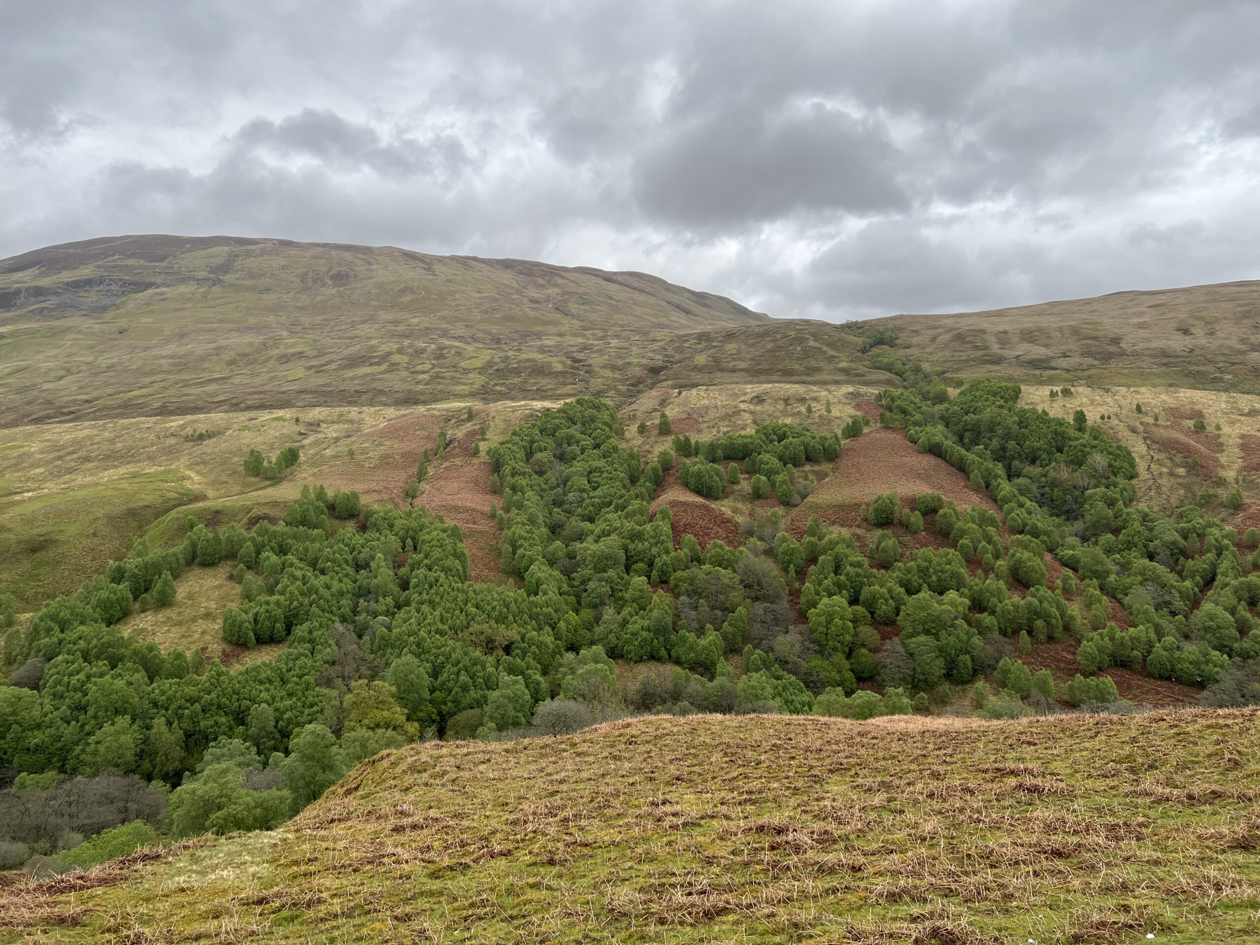
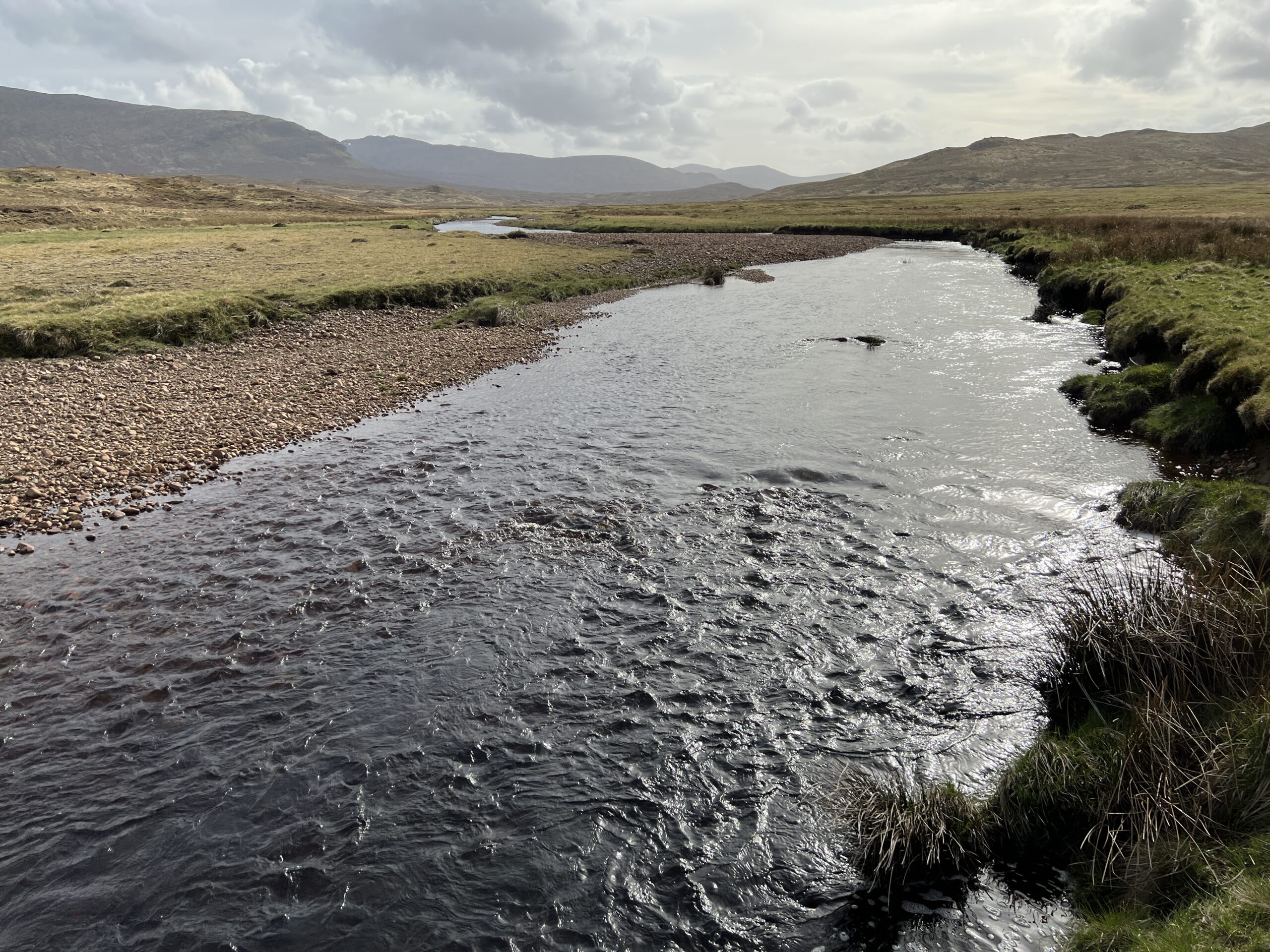
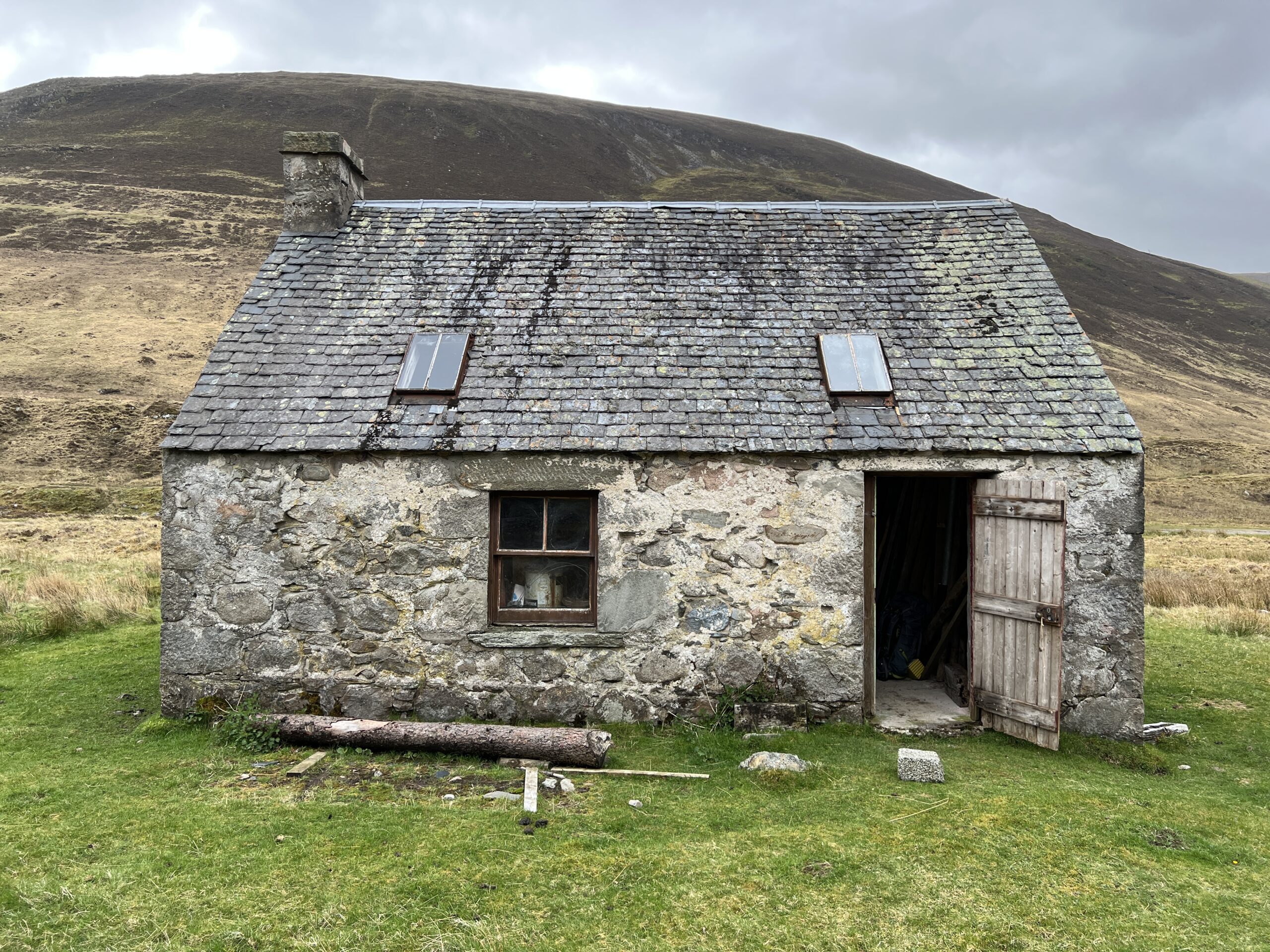
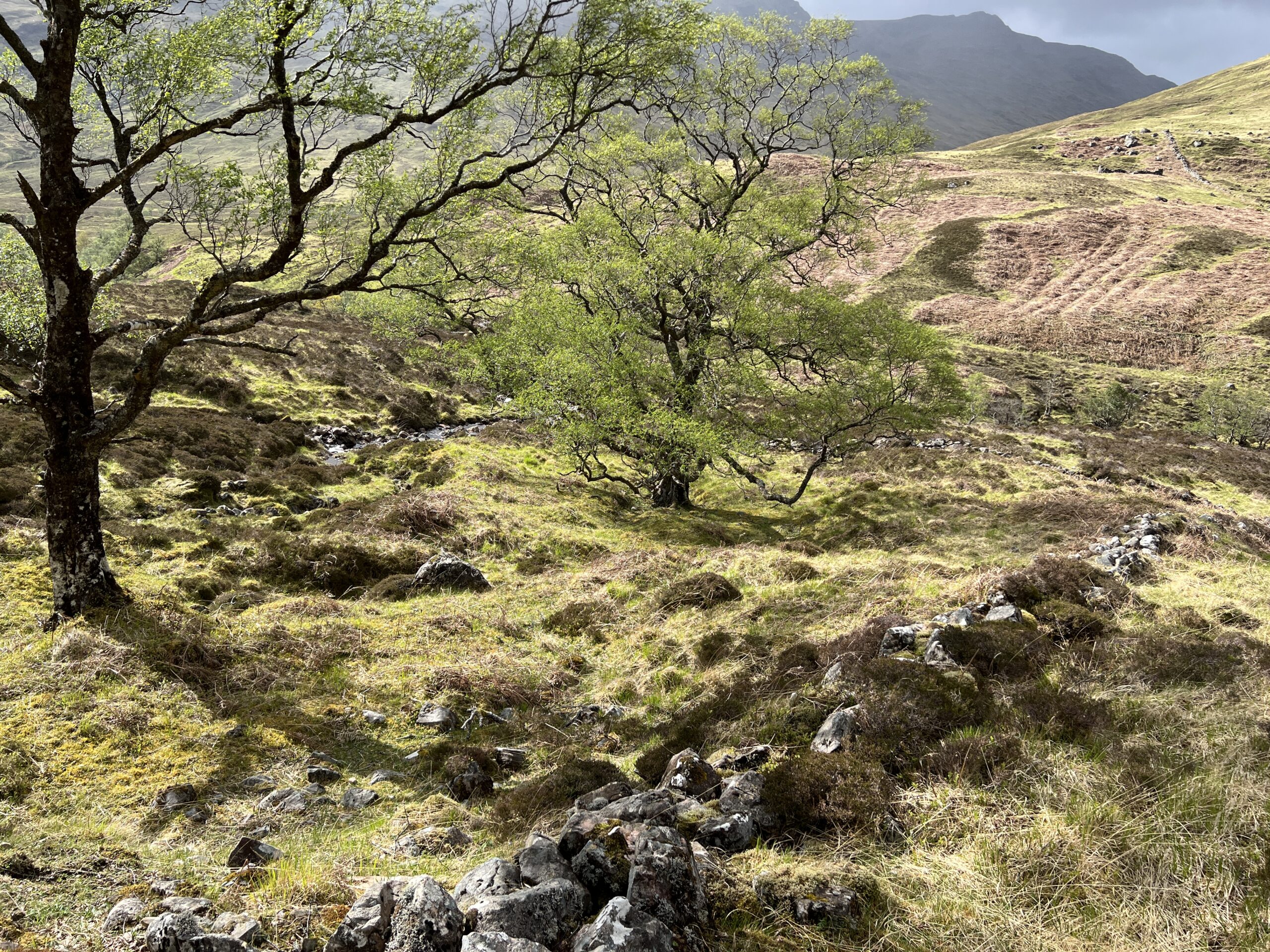
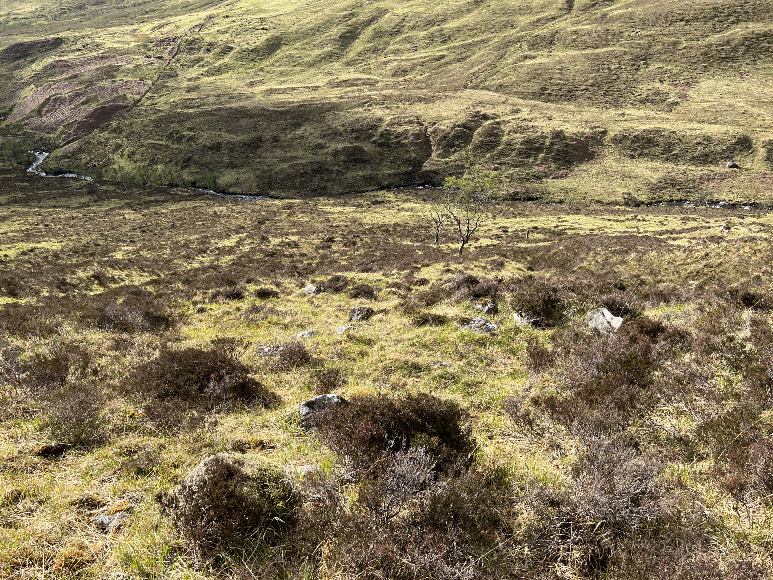
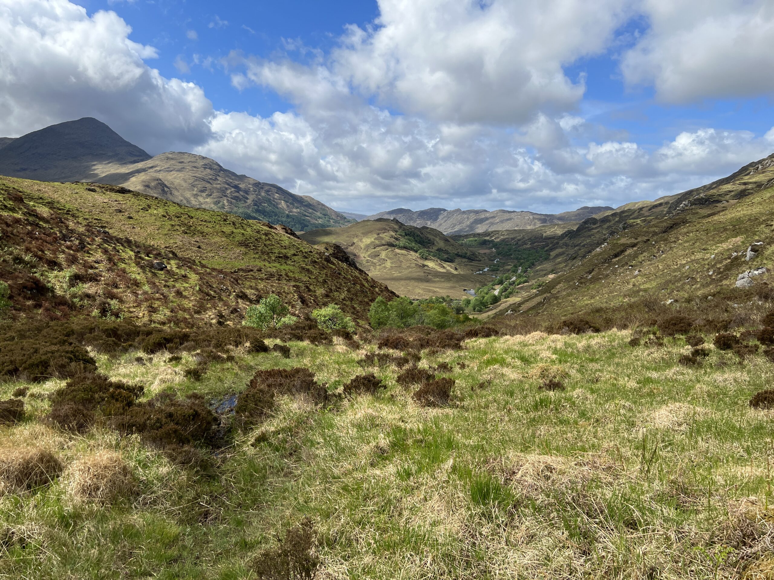
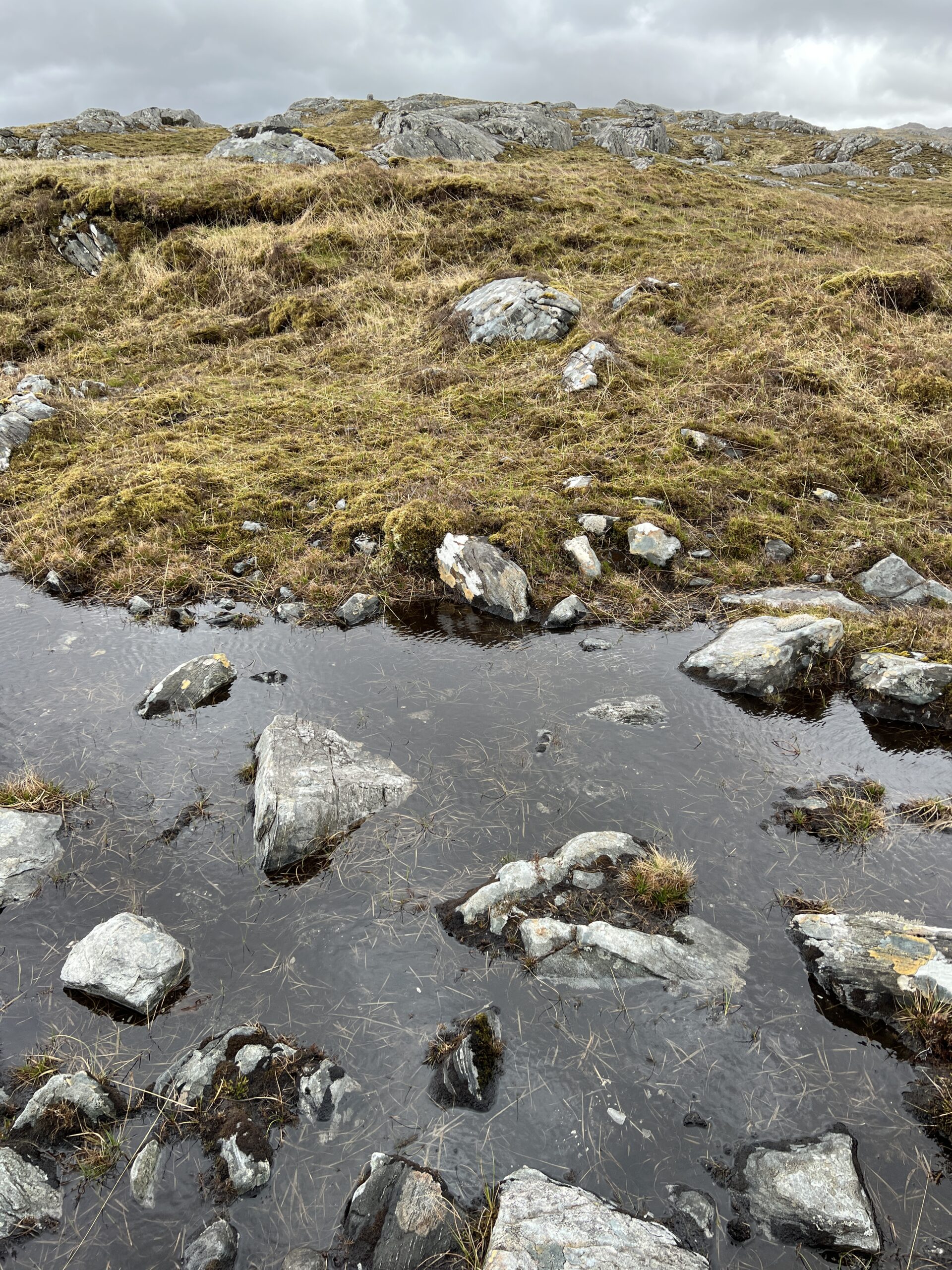
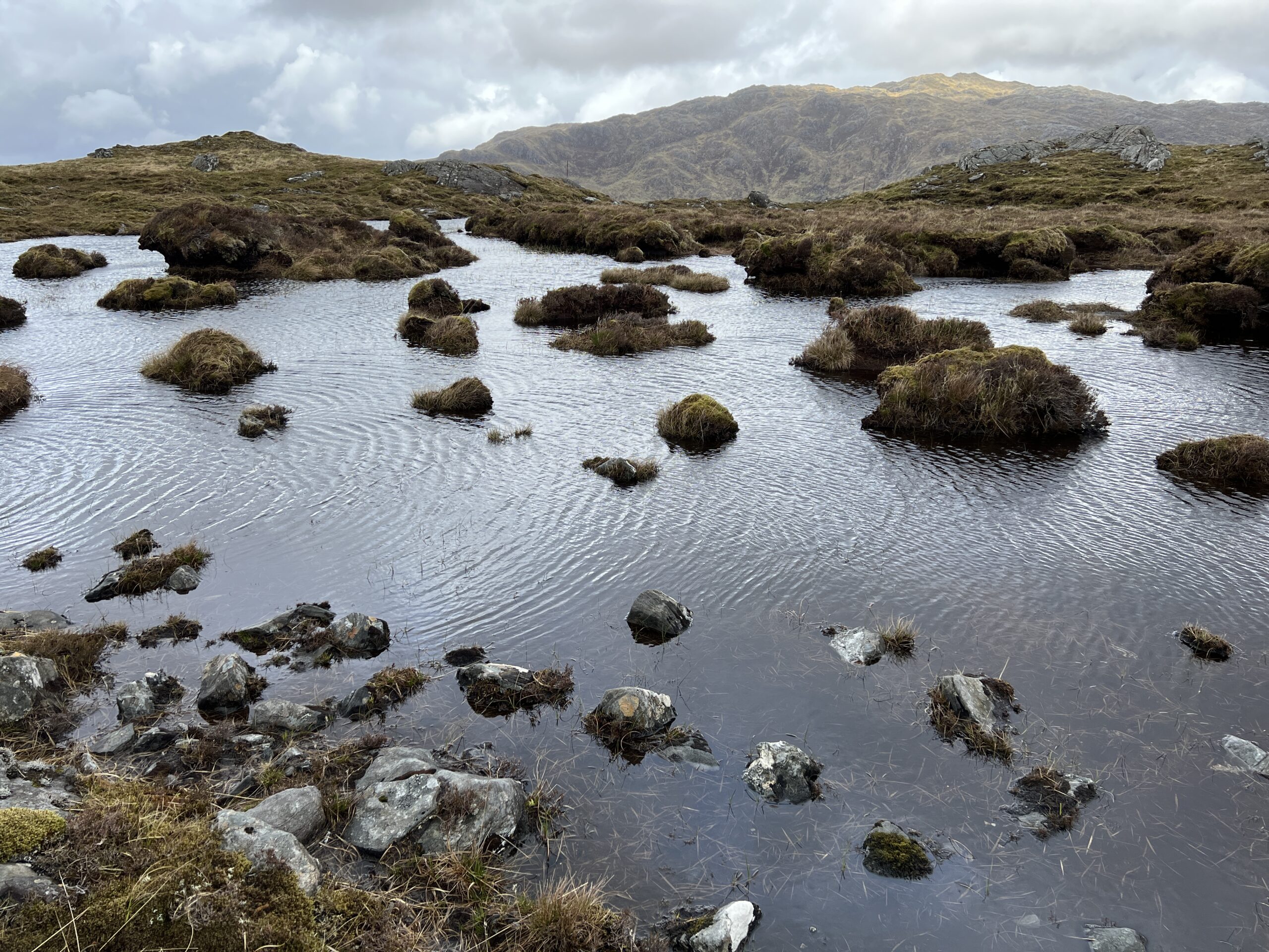
The end of The Great Outdoors Challenge is always something of a bring-down. The emptiness, the brown and gray, the mysteries real and imagined, give way to the modern world.

You leave behind scenes like this, which looks like Homer in the Adirondacks 

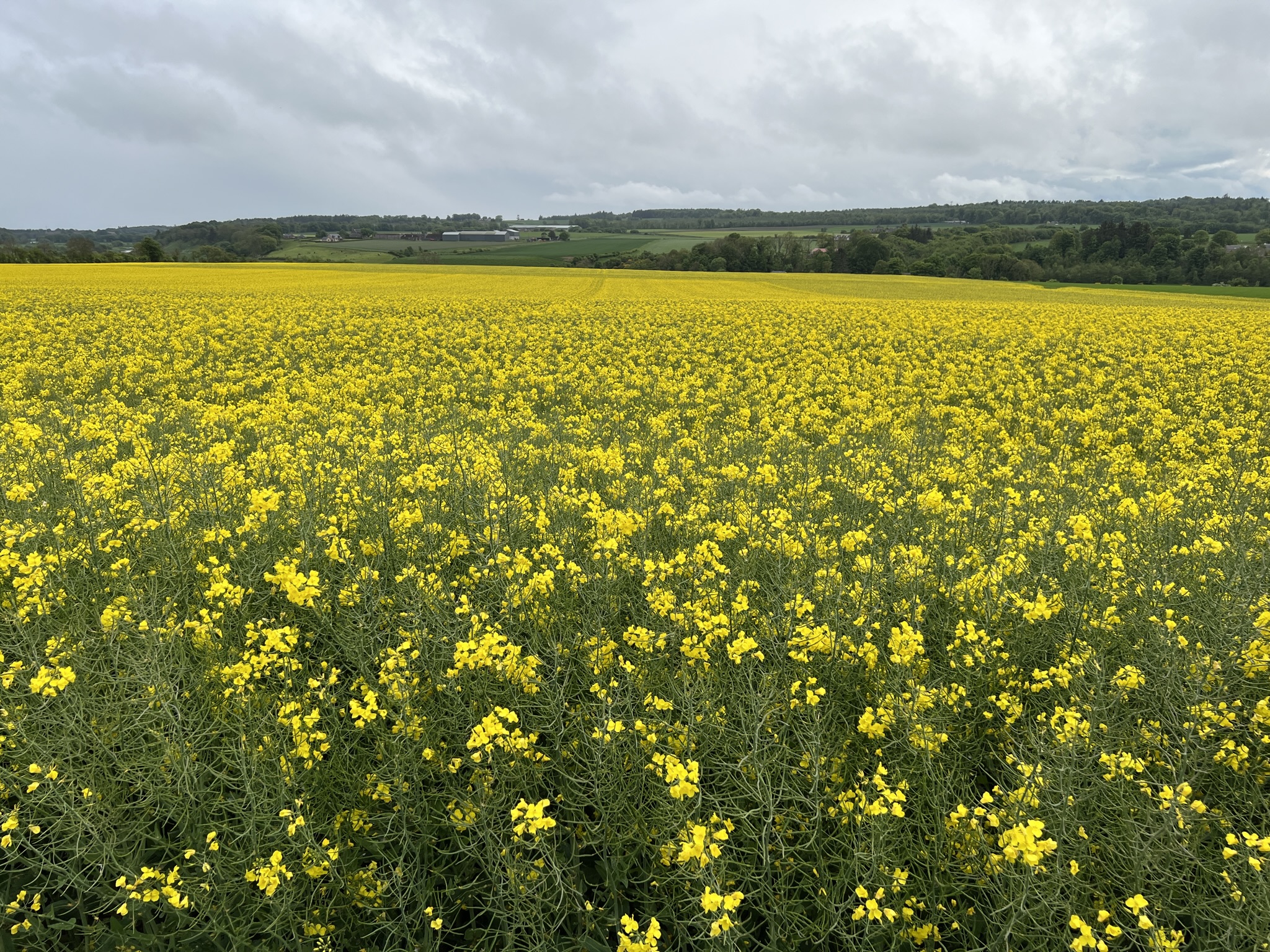
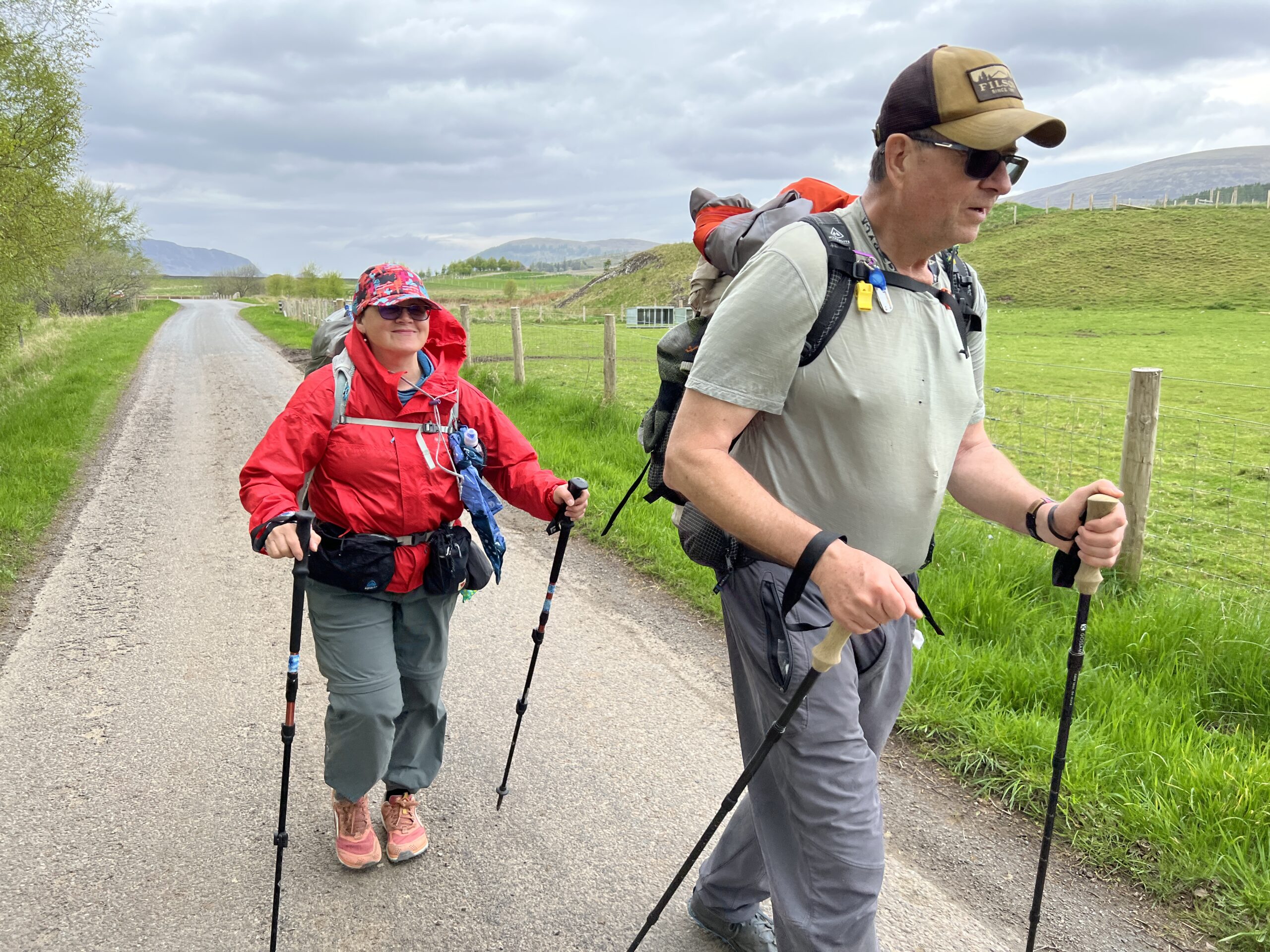
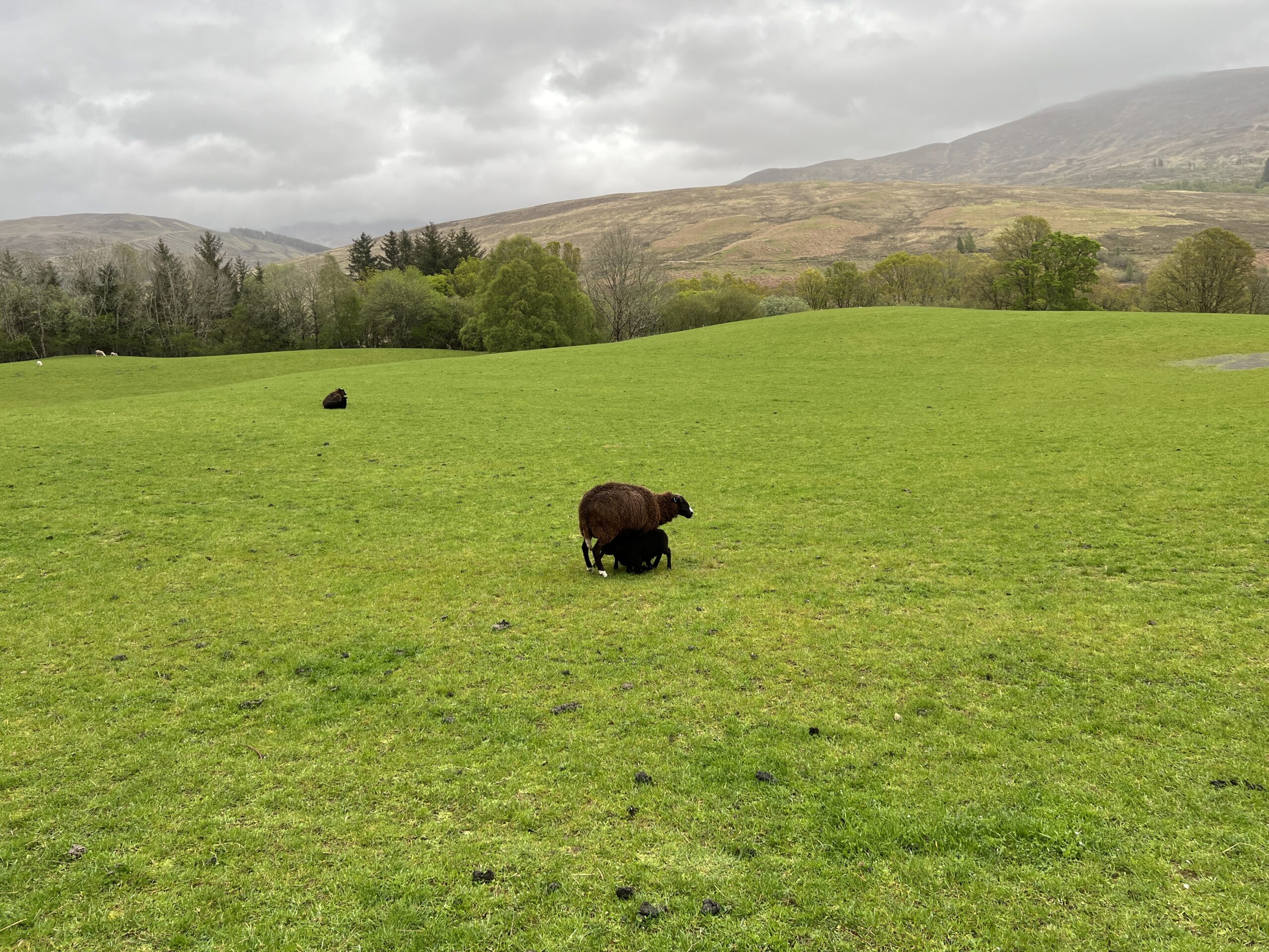
and enter bright-colored farmland worthy of Van Gogh.

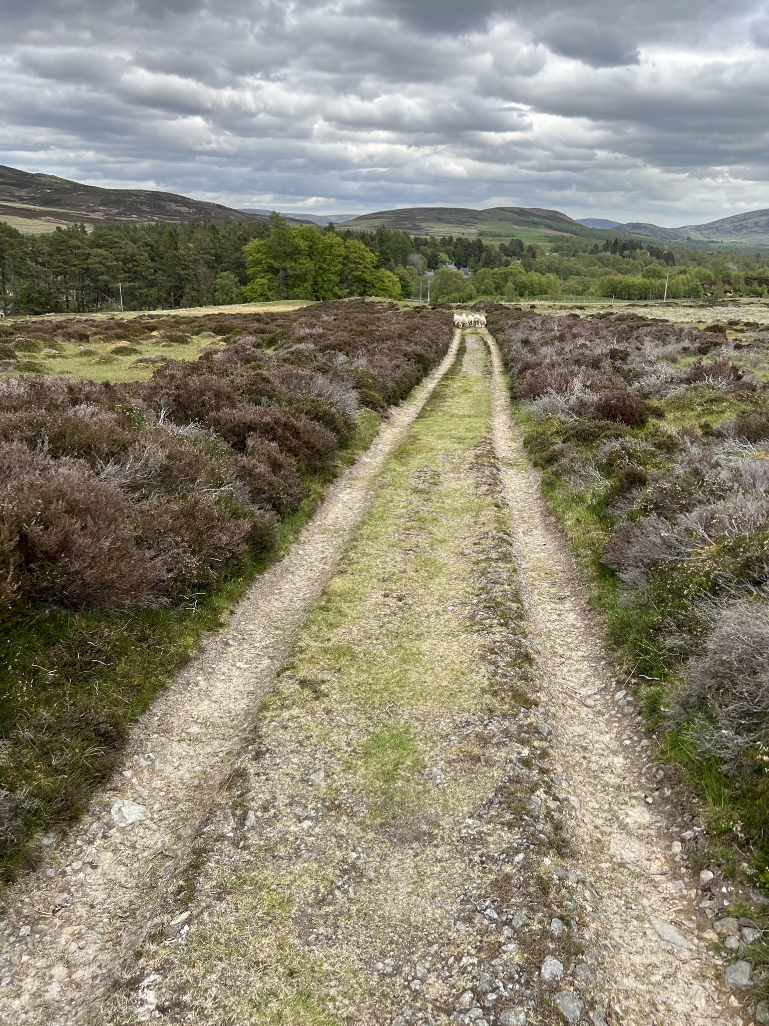
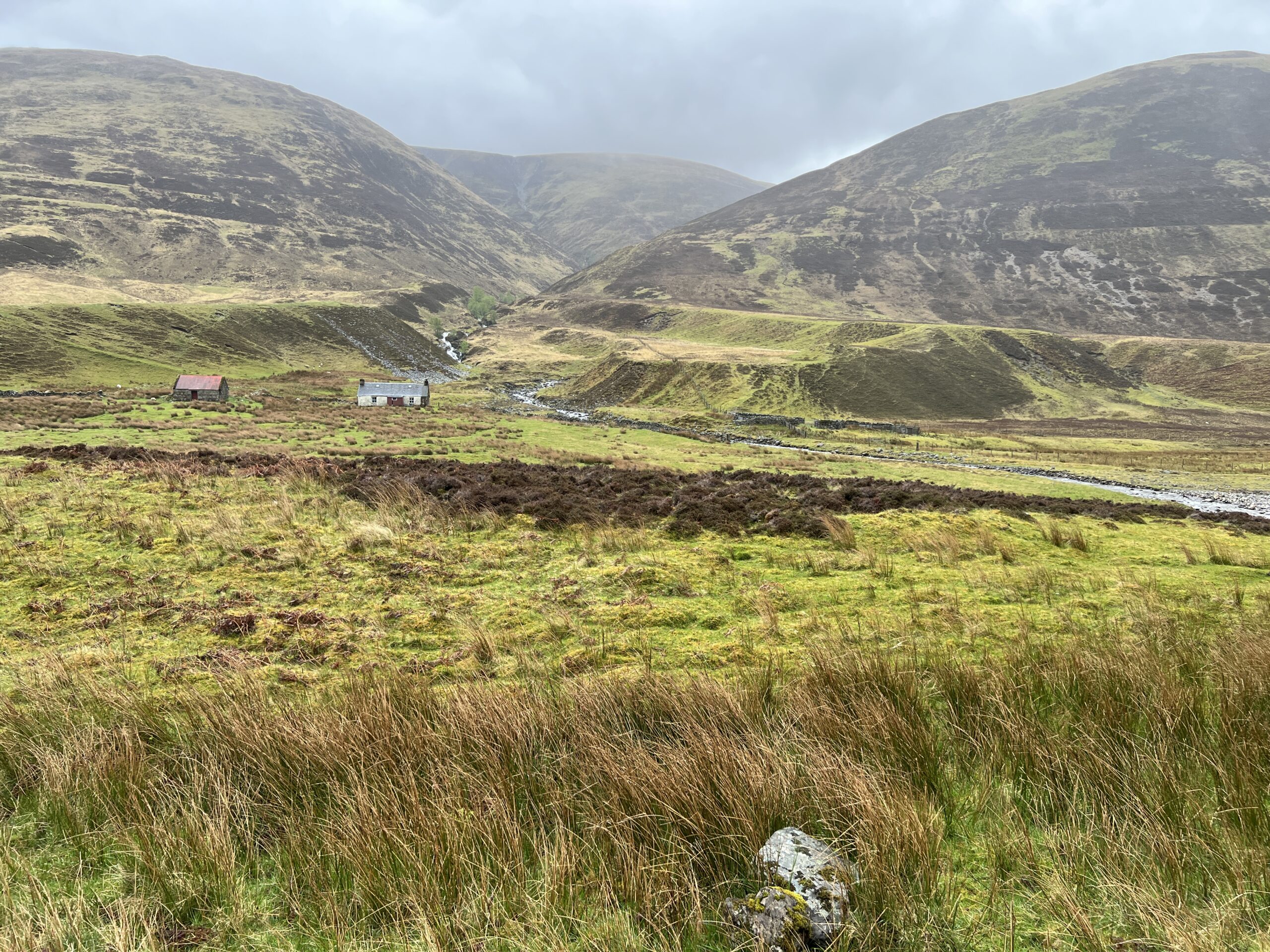
It’s still grazing country. That’s a herd of sheep on the path ahead.

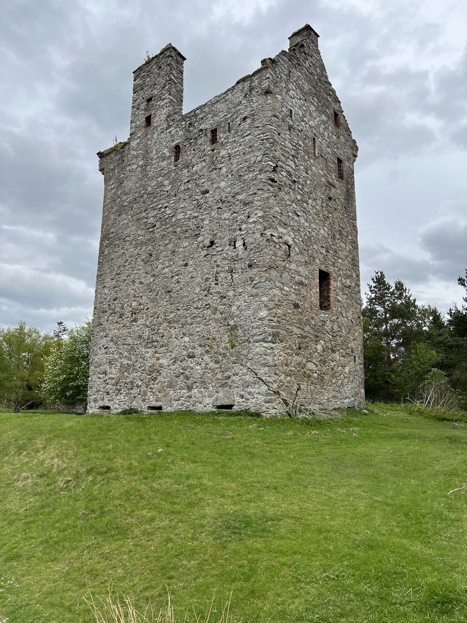
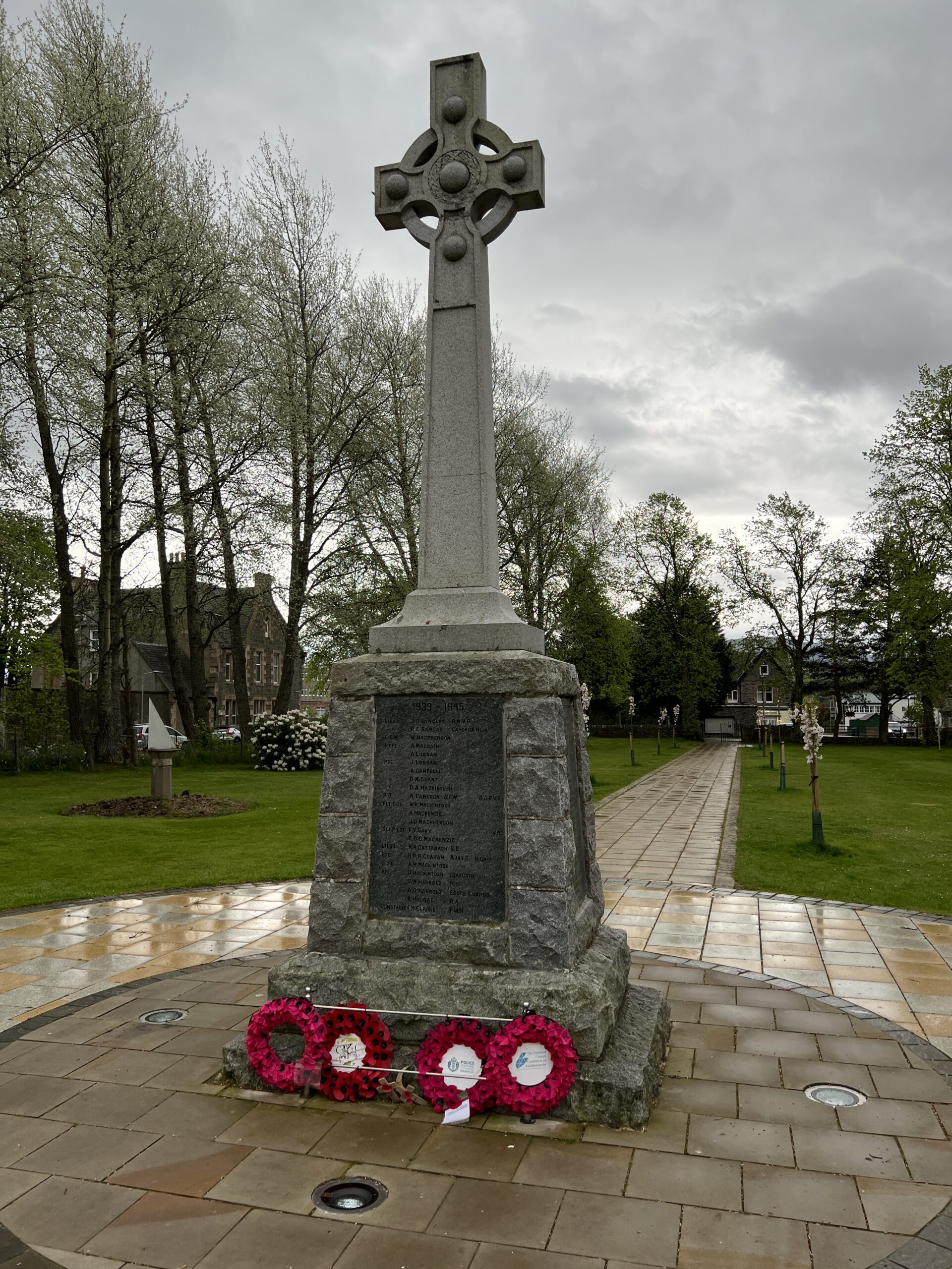
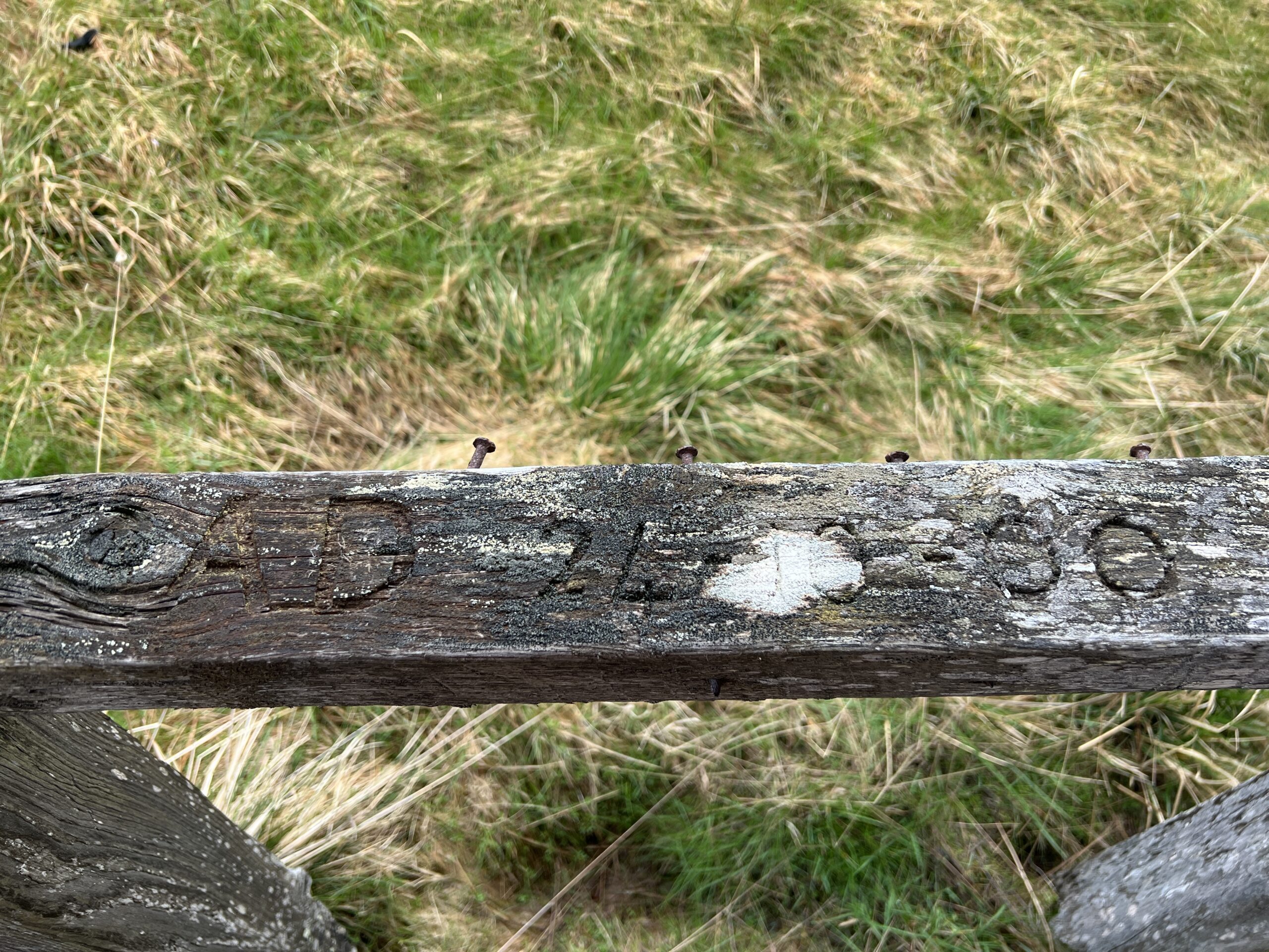
There are interesting things to see, of course. We walked by Invermark Castle, built in 1526 on a site where a castle existed back to the 1300s. It’s wonderfully intact. The other side has a semi-circular corner tower lacking only Rapunzel.

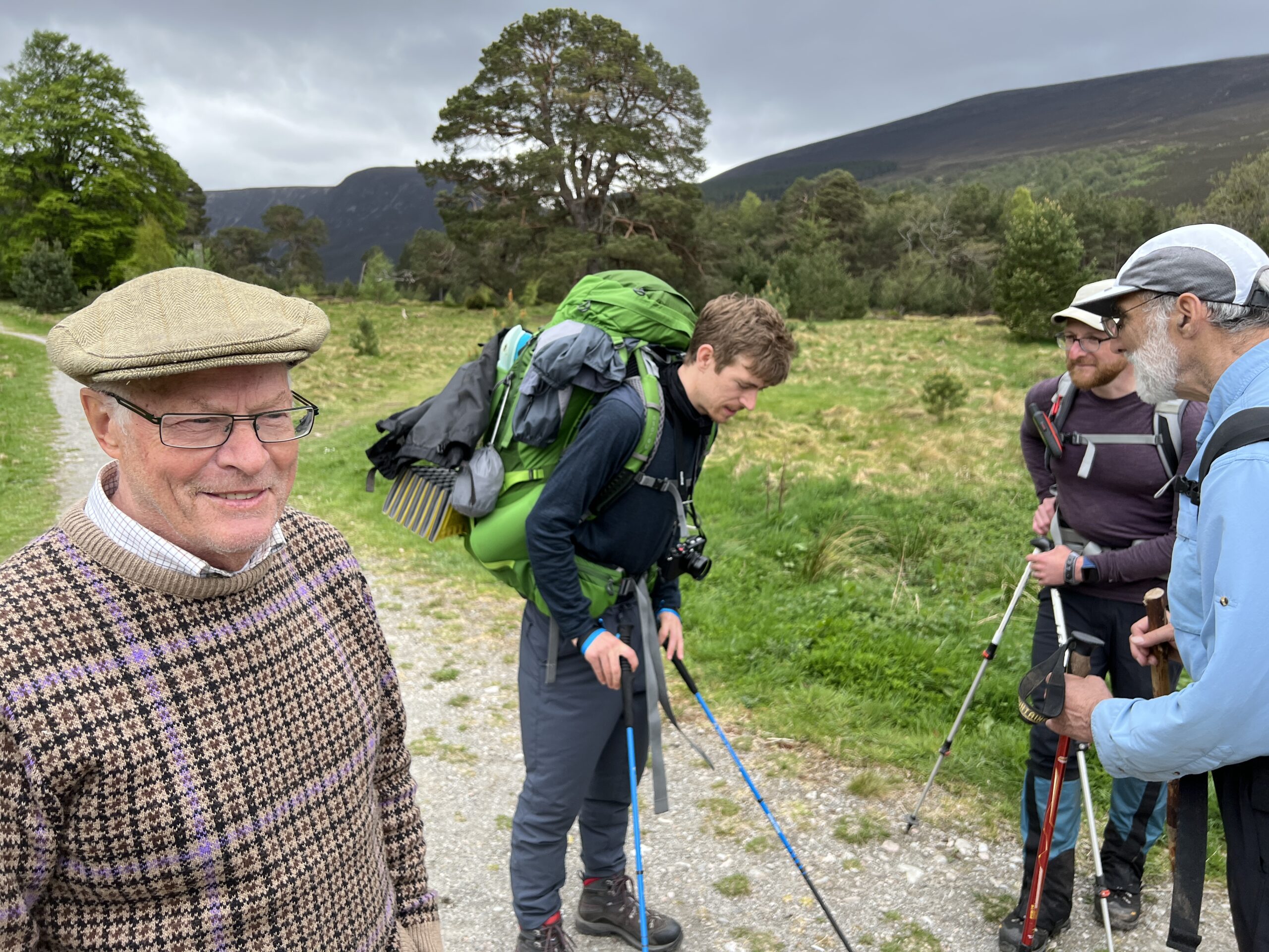
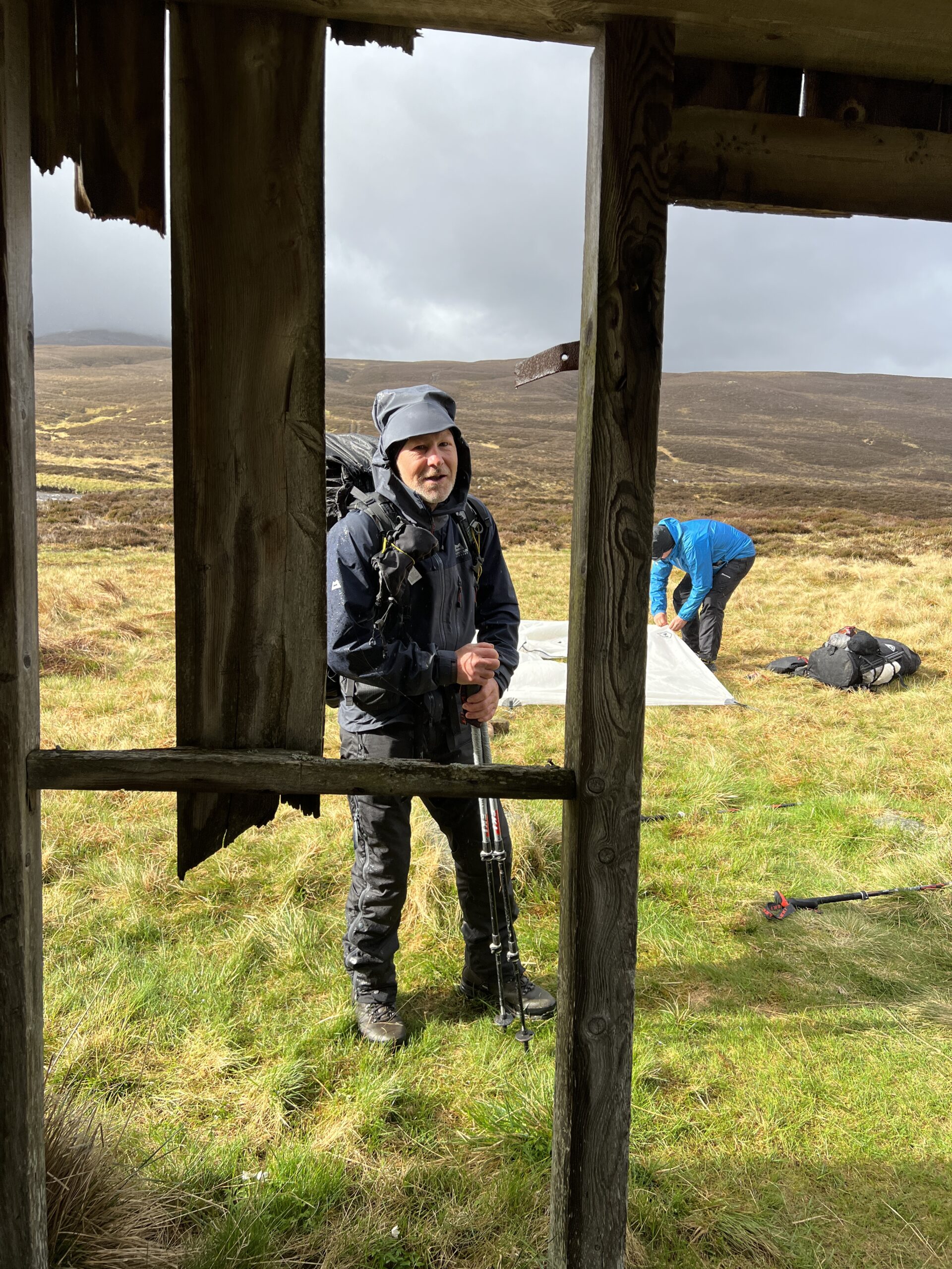
One of the things that makes this reentry tolerable is the promise of meeting a mass of Challengers at Tarfside, a village that hosts a Scots version of a mountain-man rendezvous.

People set up tents on the village green—sometimes there are 40–and eat sandwiches and cake at the local church hall made by volunteers, most of them Challenge alumni and alumnae. Afterward, everyone repairs to the clubhouse of a fraternal organization, where the beer taps open for a price and walkers exchange exaggerated accounts of the previous week.

Alas, there was none of that this time. I’m a little unclear why not. 

Covid is the standing excuse for any buzzkill decision, but I’ve also heard there were complaints of objectionable behavior from bibulous Challengers in previous years. By now you have a sense of this crowd. How much damage could a bunch of self-punishing 70-year-old bald men do? Maybe it was the women, and the sub-40 cohort.

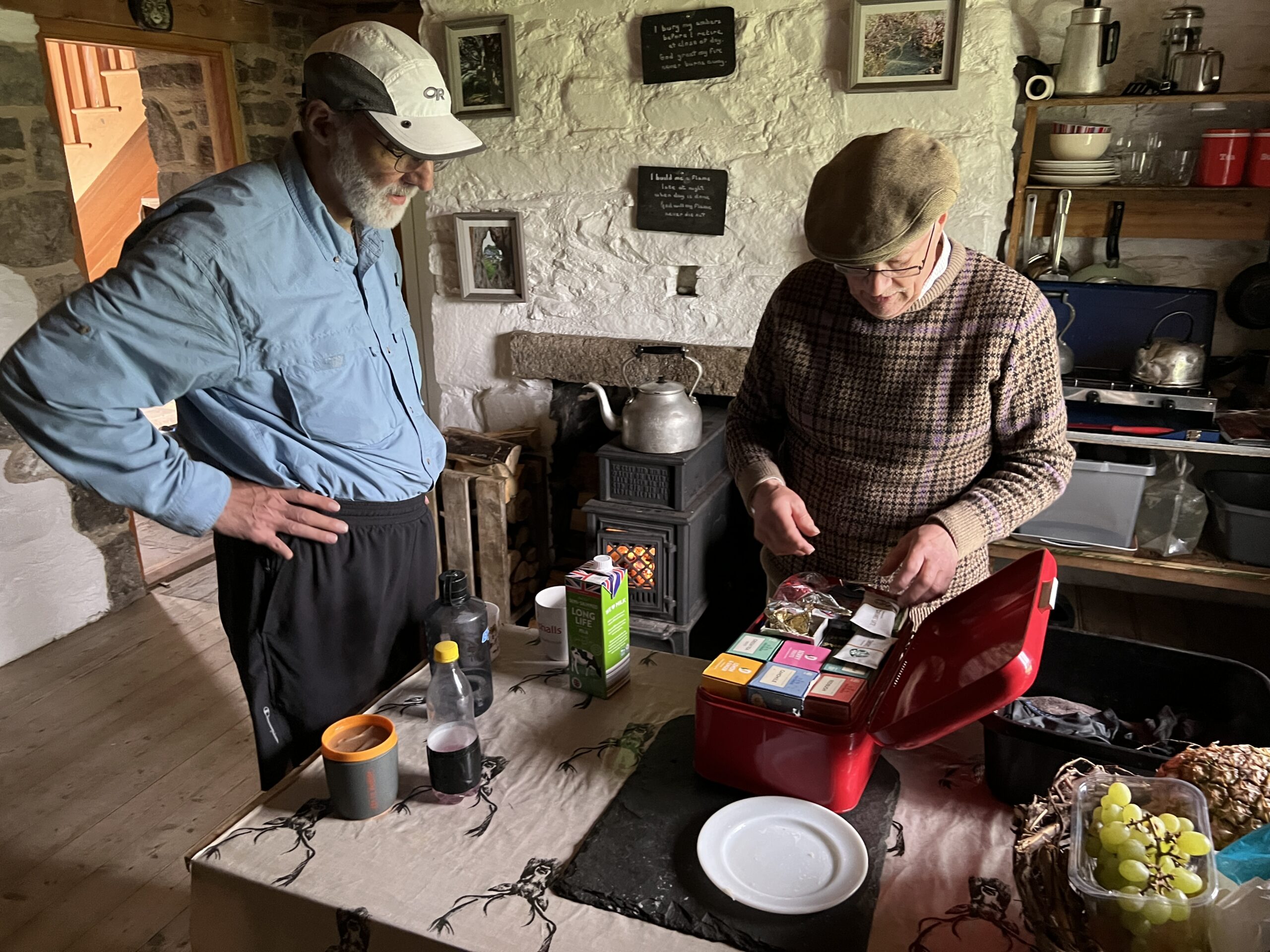
In any case, we drowned our sorrows in tea and nut bread at St. Drostans parish hall. One of the volunteers, Ann Thorn, was there in 2014 when I met my distant cousin, Marion Mitchell, who like me is descended from John Brown the Covenanter.

He was a Presbyterian martyr shot in cold blood on May 1, 1685, by a notorious English military enforcer, John Graham of Claverhouse, in front of his pregnant wife and two children. (There’s an obelisk to him on a Lowland moor my parents once visited.) His widow and her children moved to Ireland, and two sons moved from there to Pennsylvania in 1720. 

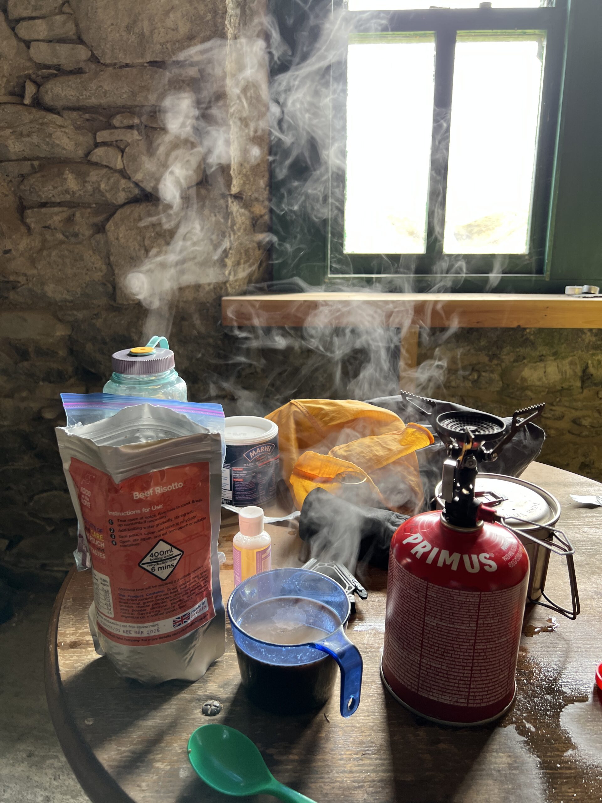
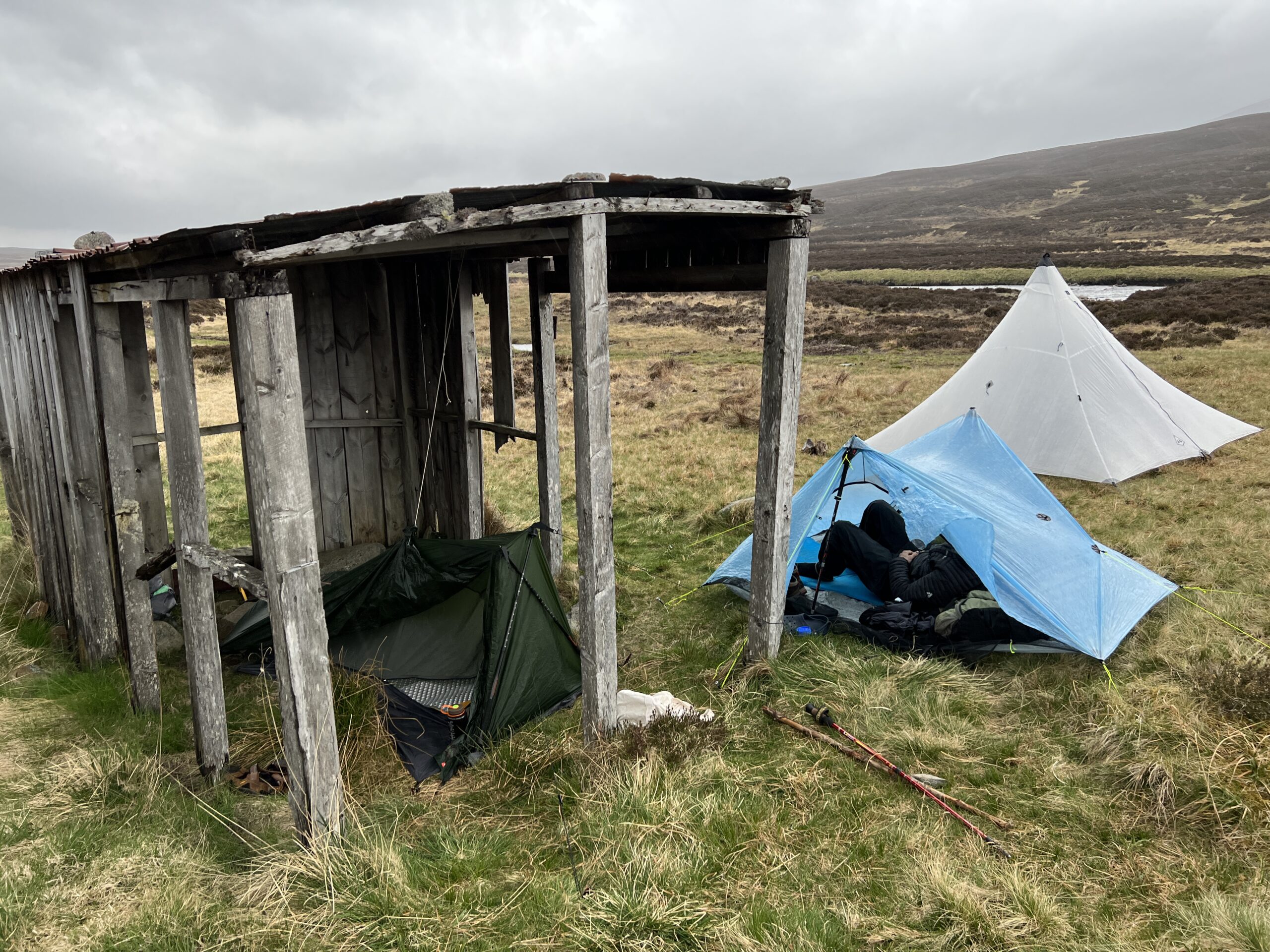
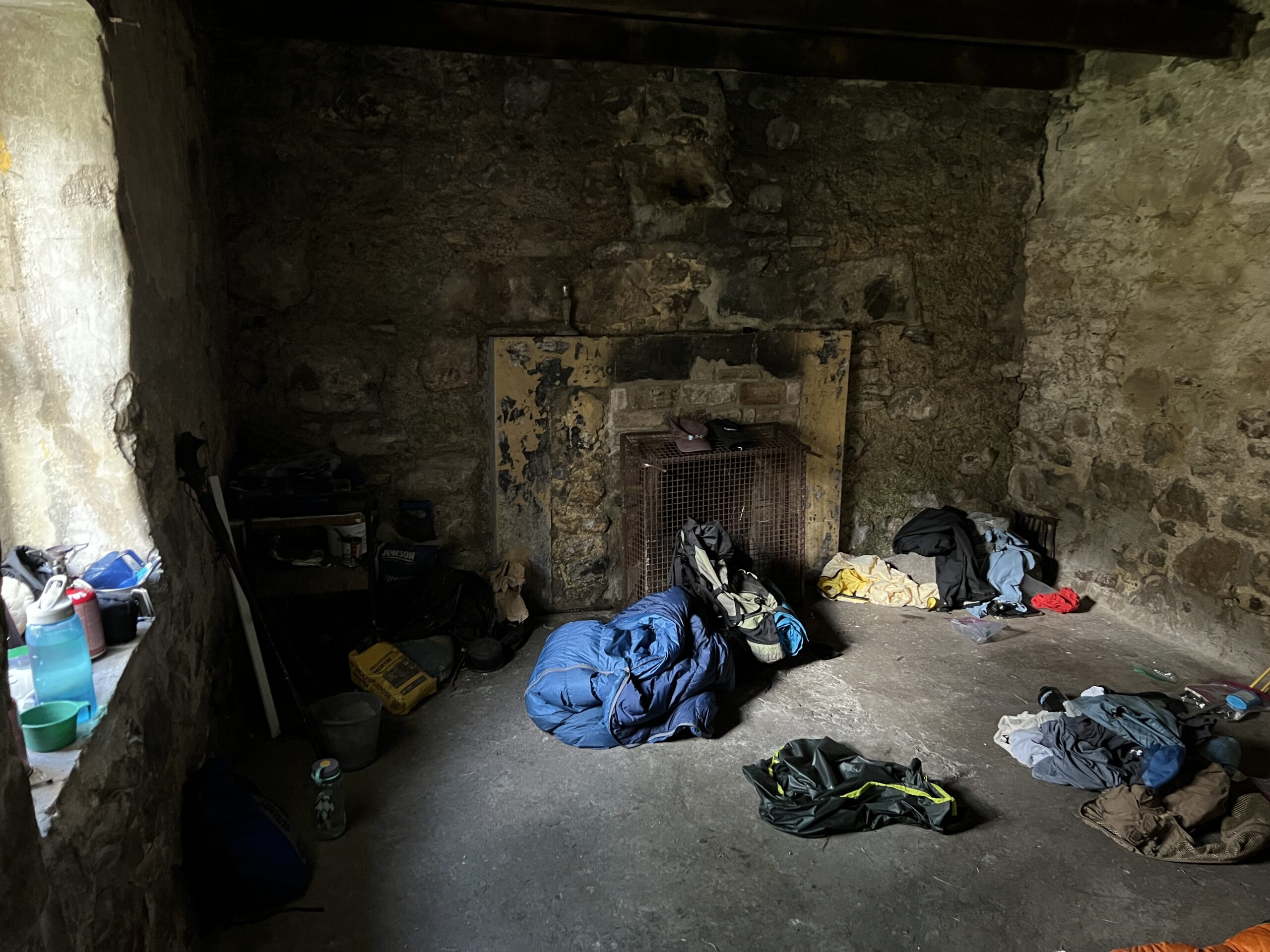
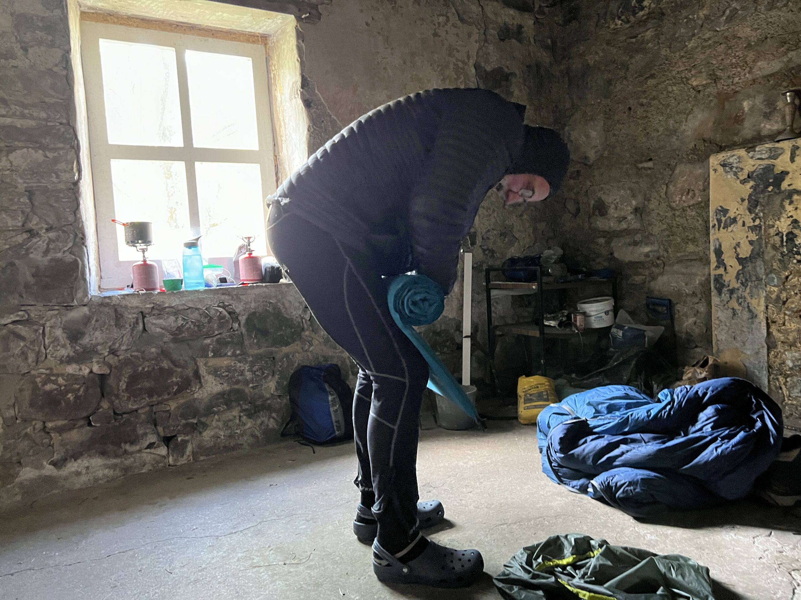
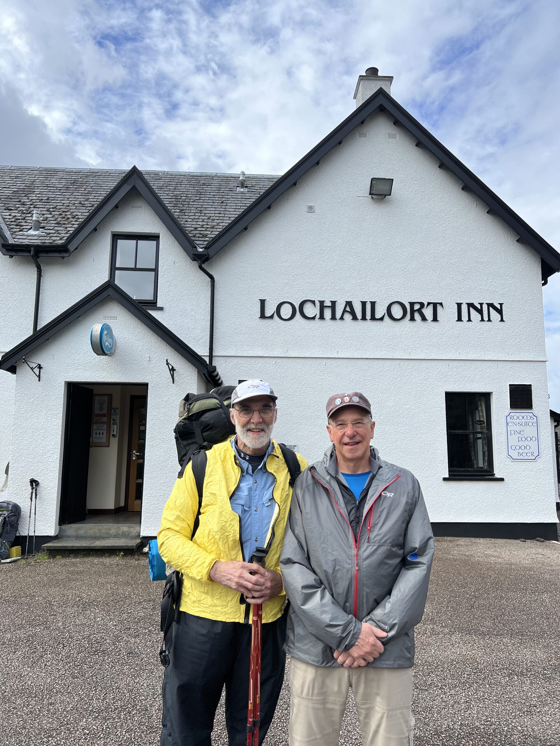
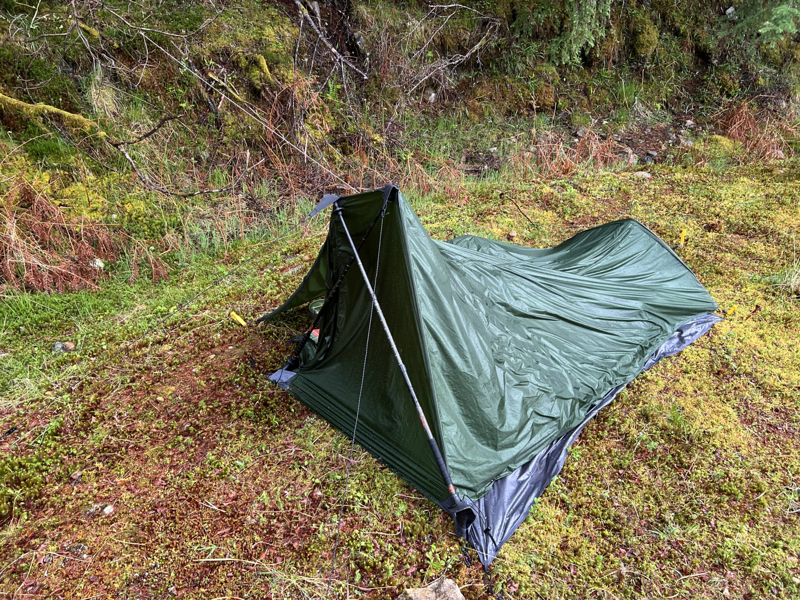
The church offered 12 rooms for 25 pounds apiece (and toilets and showers, of course.) It tells you something about this group that I was the only Challenger in the place that night. My excuse: an underperforming tent. The real reason: I needed a place to write, and I wanted to sleep in a bed.

Personally, I hope superannuated dissipation returns to Tarfside someday.

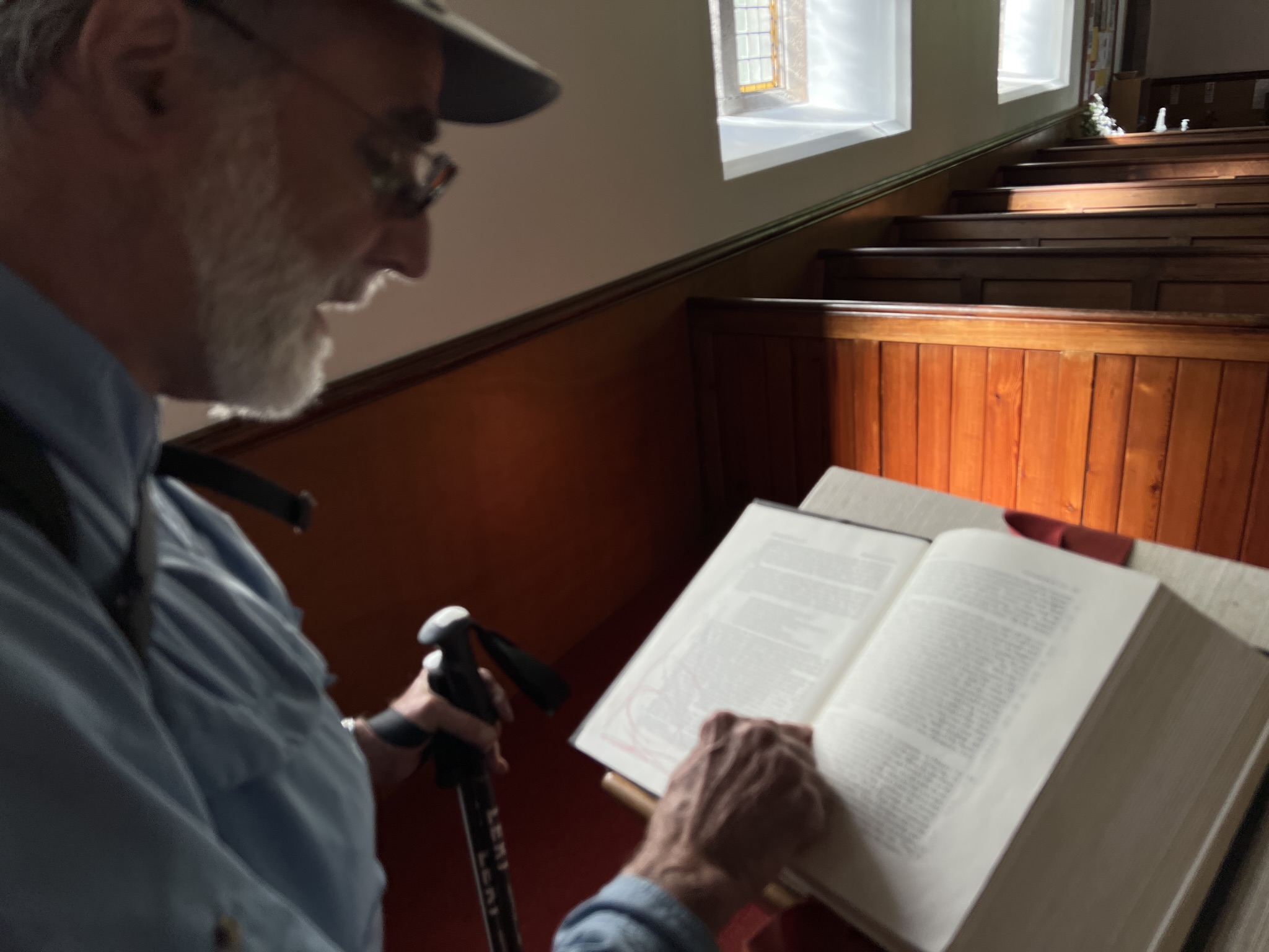
In its stead—and a good, if sober, substitute—was The Right Reverend Mark M. Beckwith’s reading (and later, on the road, interpretating) the Oak of Mamre story in Genesis 18, in which three angels tell Abraham that his wife Sarah will bear a child in old age. 

St. Drostans (part of the Episcopal Church of Scotland) had in its nave a copy of a famous icon of this encounter, which, among other things, is about hospitality. Mark had contemplated it for an hour alone before Ole and I got up.

After Tarfside, we spent the night in Edzell, at the Panmure Arms Hotel. The original plan was to camp somewhere, perhaps sneaking onto the grounds of the ruins of Edzell Castle. By then, however, we were no longer casting around for good excuses for eating in a bar and sleeping in a bed.

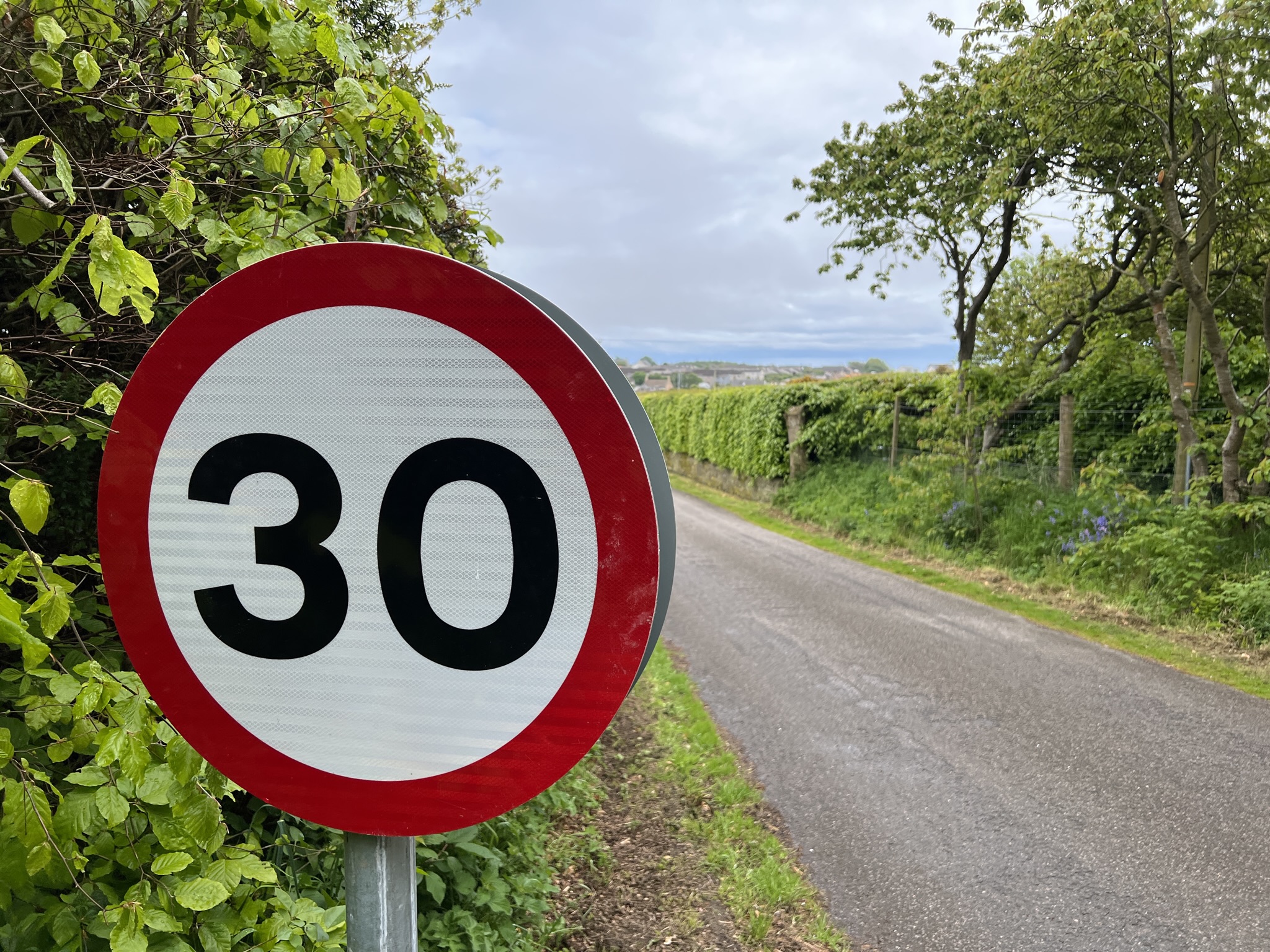
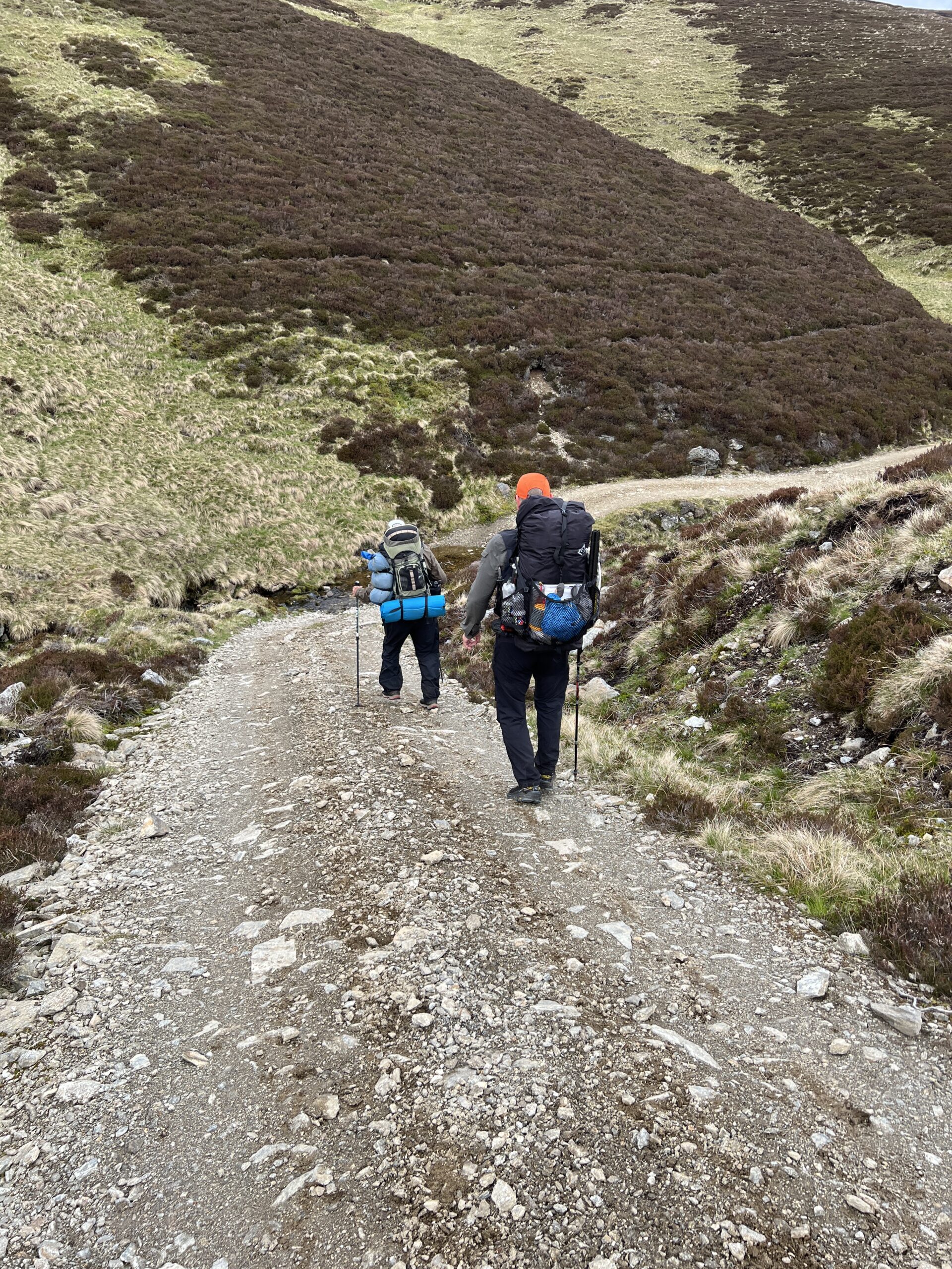
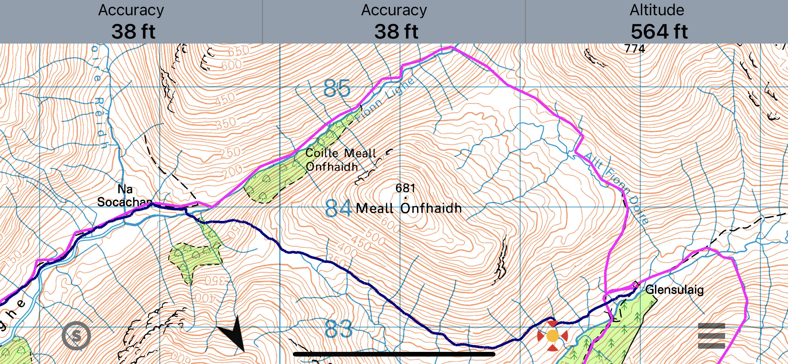
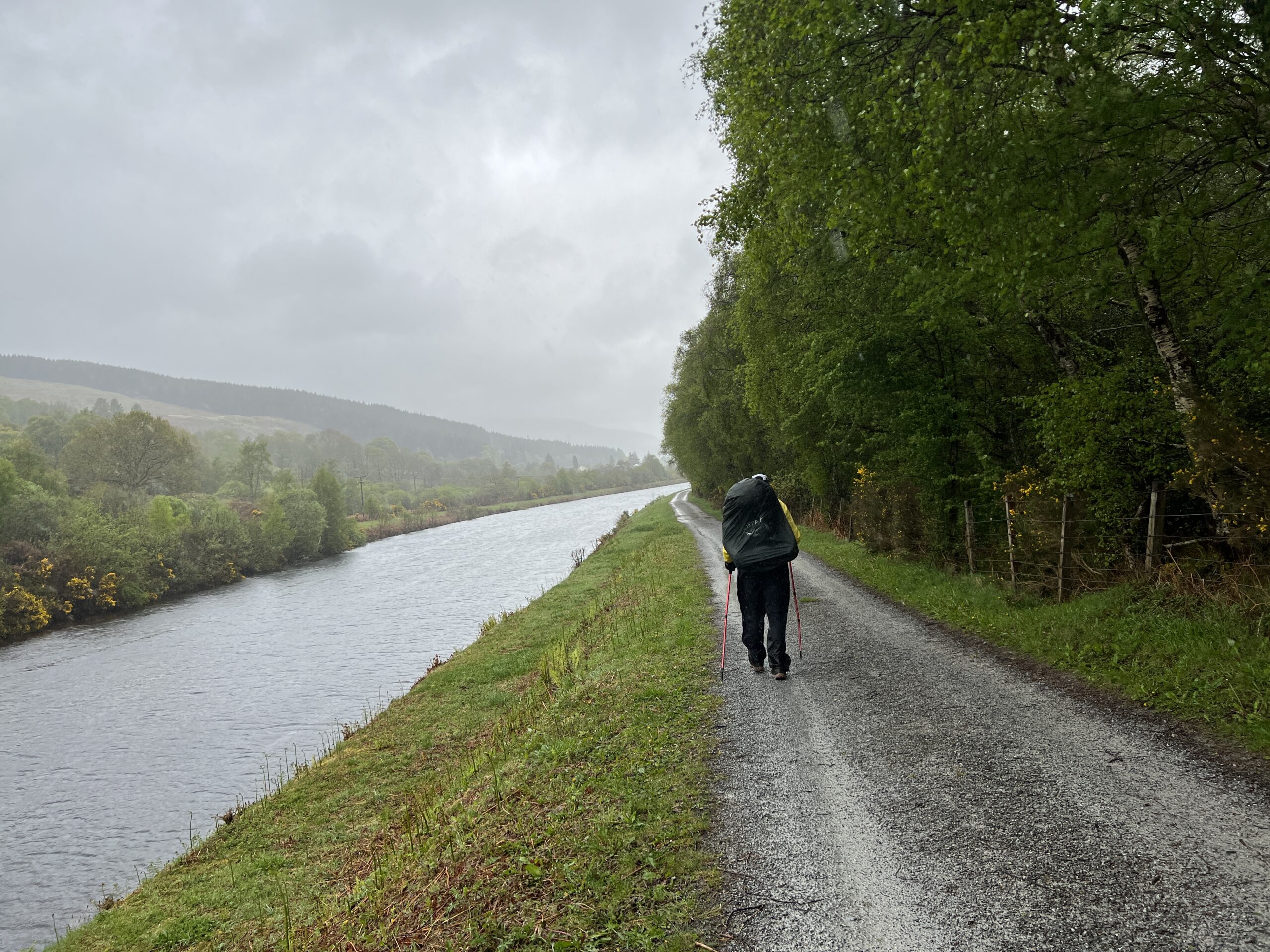
The last day was 14 miles on road. The last climb was up the Hill of Morphie, which I’d done on a previous crossing.  (Love that name.)

At its foot we met Rich, who like his wife, is a local school teacher. They’re used to seeing Challengers trudge by their house. He came out to greet us. 

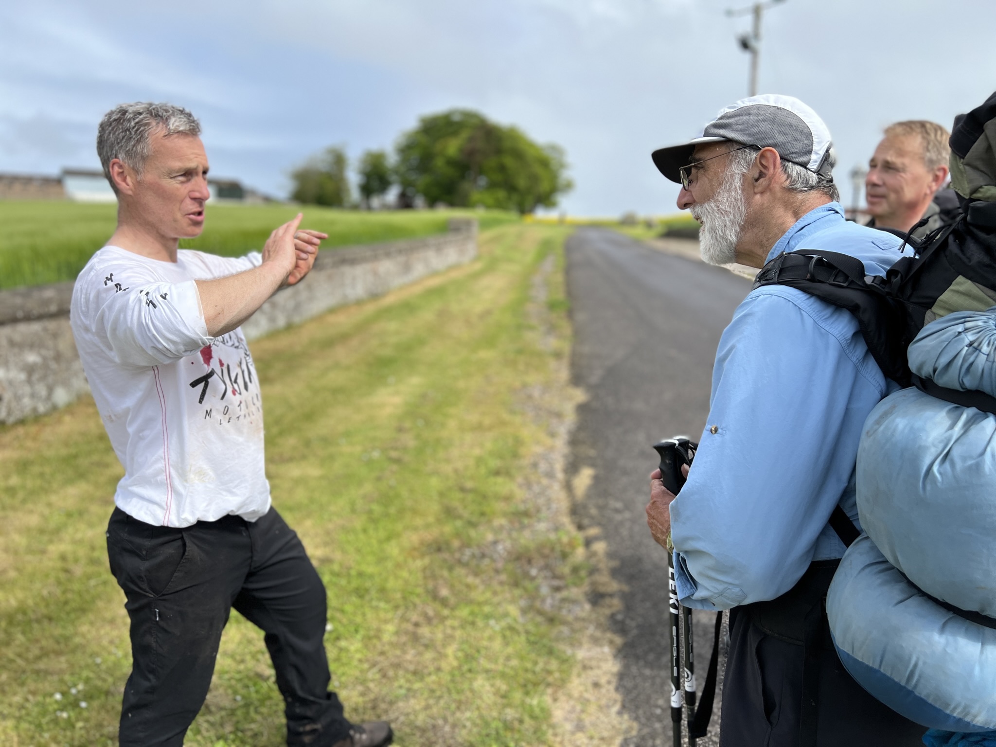
We talked for a few minutes. “We can’t get away this time of year,” he said enviously. But he and his wife have plans for the summer.

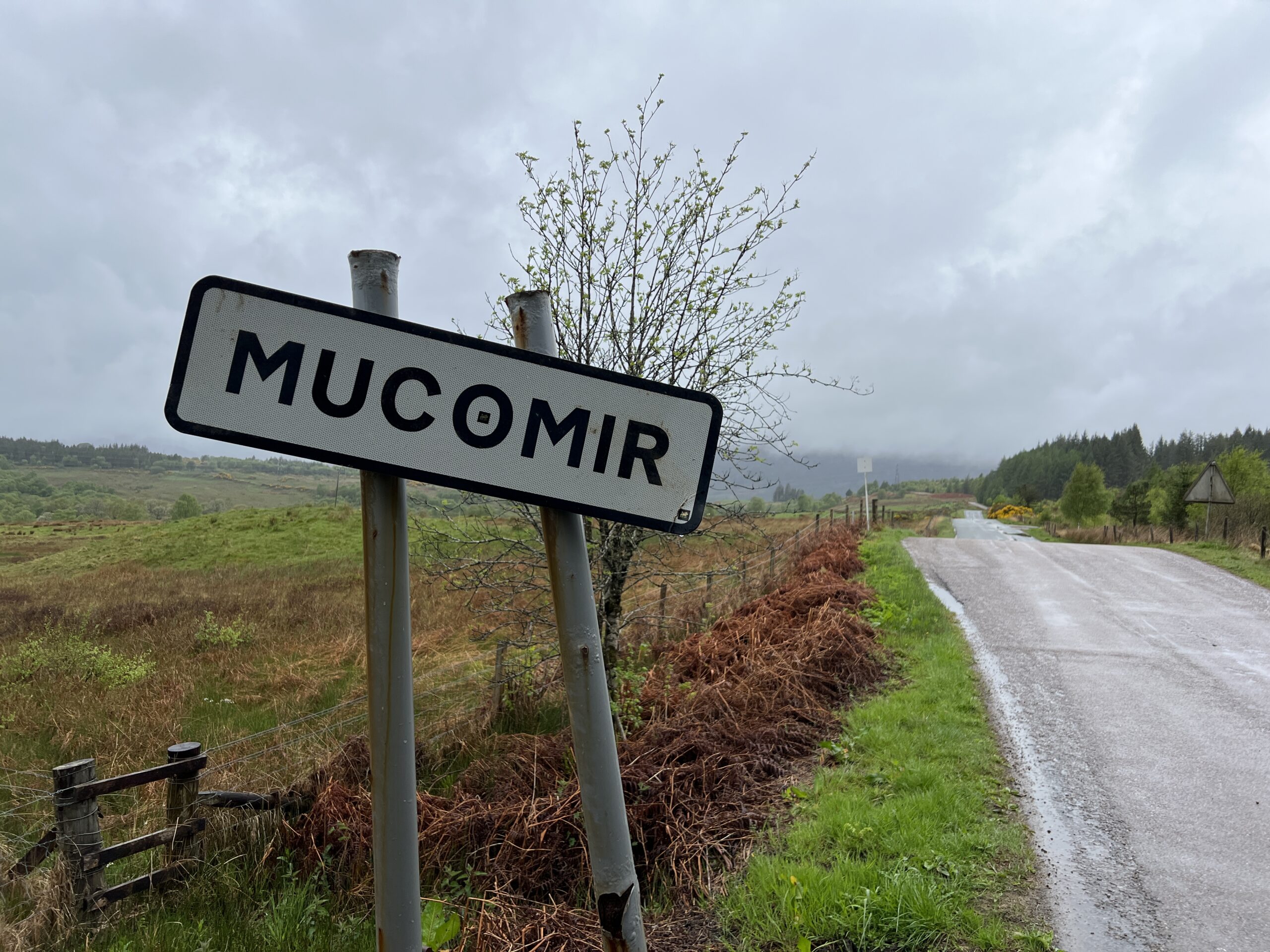
Coming down the hill I passed a road sign. 

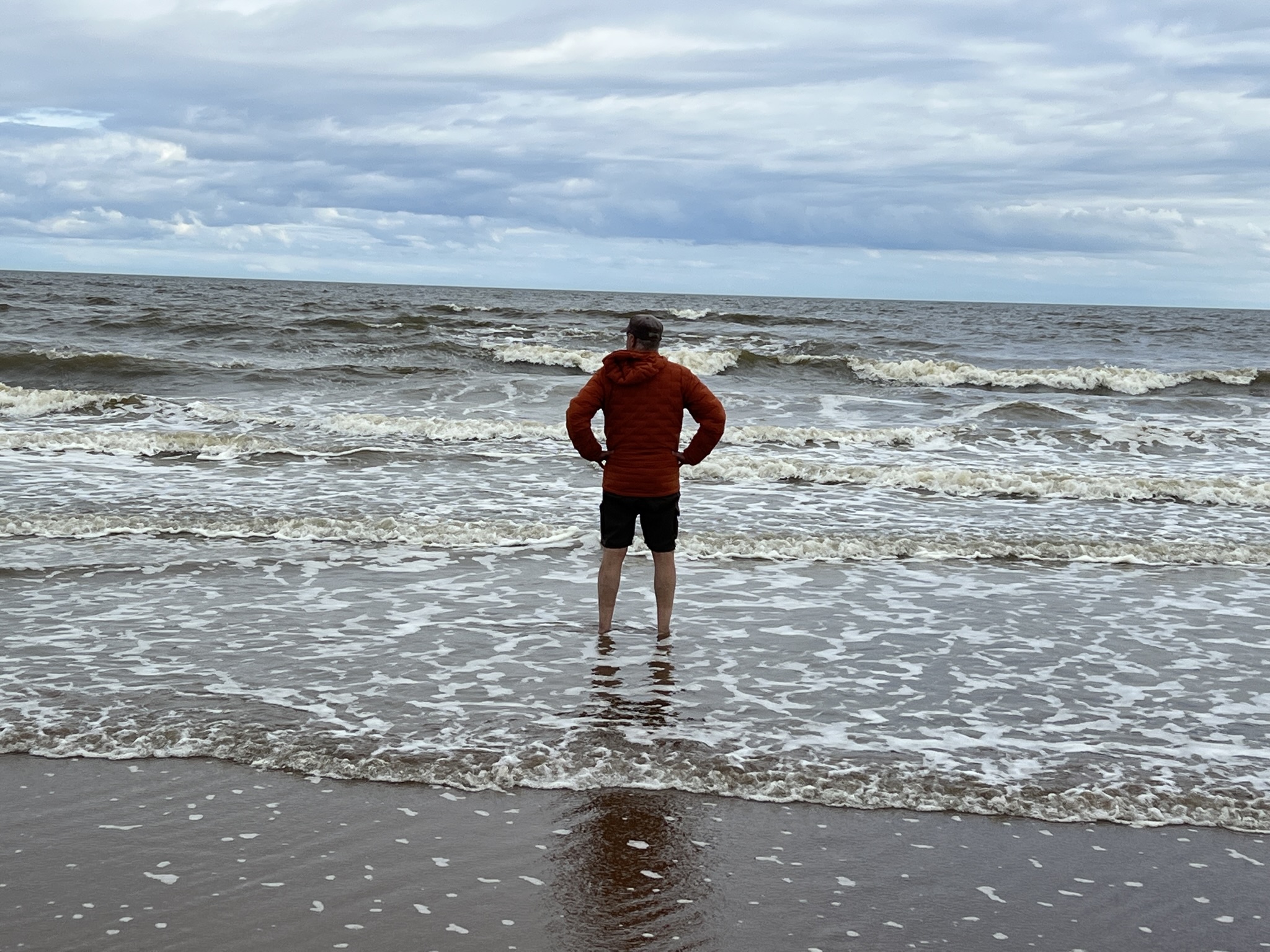
You’d think this was the end of the story, but it wasn’t quite. We still had to get to St. Cyrus, just ahead, and beyond it, in the mist, to the North Sea.

We got to the cliffs and looked out. It was a beautiful sight. We’d made it.

According to the built-in Health app on my phone, We’d walked 230 miles in 13 days. That included everything–walking around campsites and villages–not just time underway. And I think the app exaggerates distance. Nevertheless, it was a long way.

We still had ahead of us the podiatric intinction. We left our packs at the top of the bluff and walked down to the beach, Ole first. It was almost a half-mile.

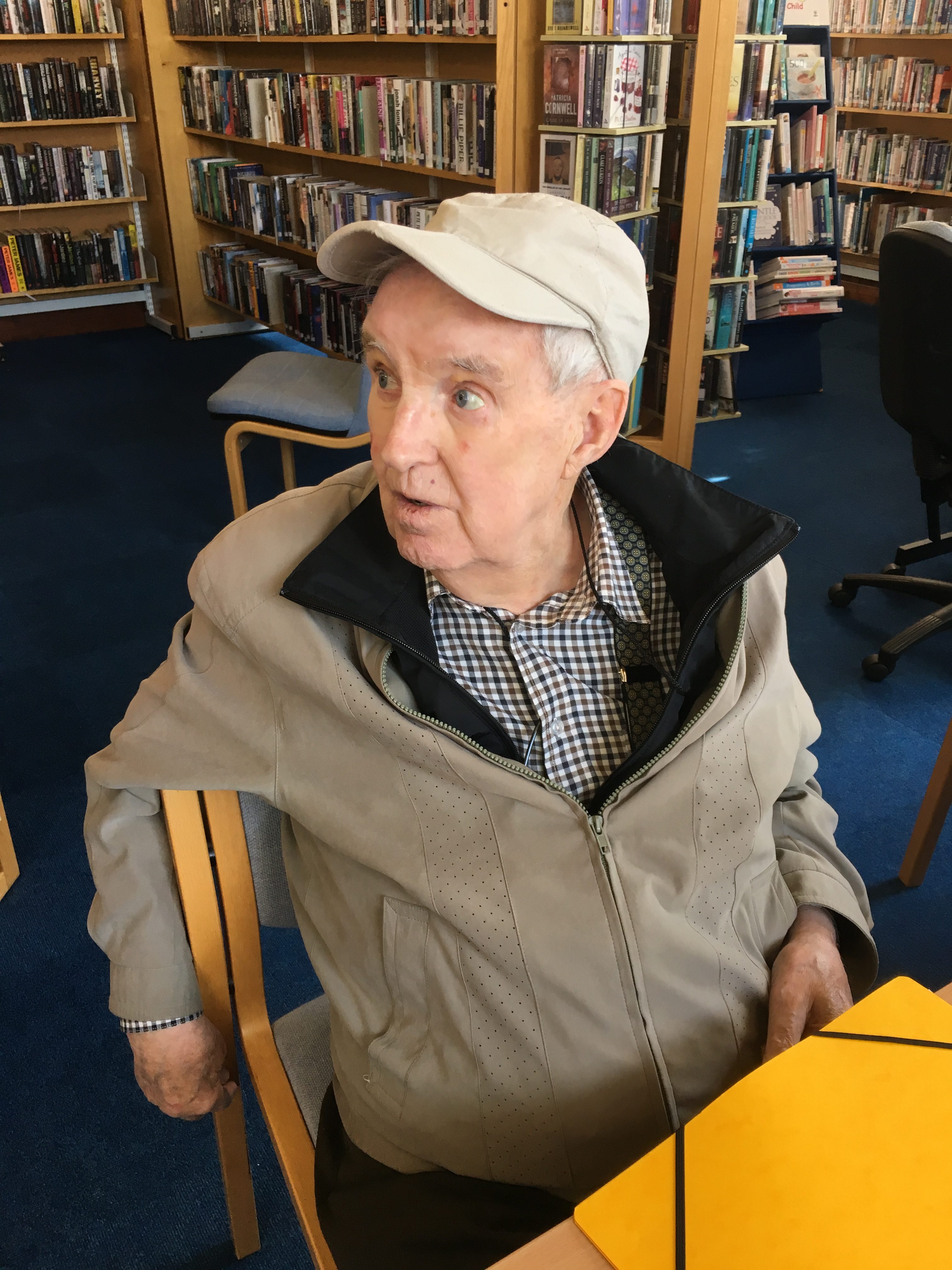
We took off our boots and walked into the sea, and took a picture of ourselves.

We had to wait more than an hour for a bus to Montrose; luckily there was a pub nearby. When we arrived we signed in at Challenge Control, a room in the Park Hotel. Then we truly were done.

Sue Oxley, one half of the sainted “Ali and Sue” who run the show and have been communicating with us since last October, was there. She provided a few statistics.

So far, 74 people had “retired”—dropped out—from the  starting field of 400. Because of the staggered starts that number could increase; there were still several days to go. That’s both more people, and a higher percentage, quitting than since 2015, and possibly longer.

The weather, and its associated hazards and discouragements, were the main reasons. Mountain Rescue had been called for three people, although one search was aborted when the person appeared.

I put my tent (slept in three nights) in front of the message board and taped to it a note saying it was for the taking–as long as the taker gave a donation to The Great Outdoors Challenge. I’ll be interested to get follow-up on that sometime.

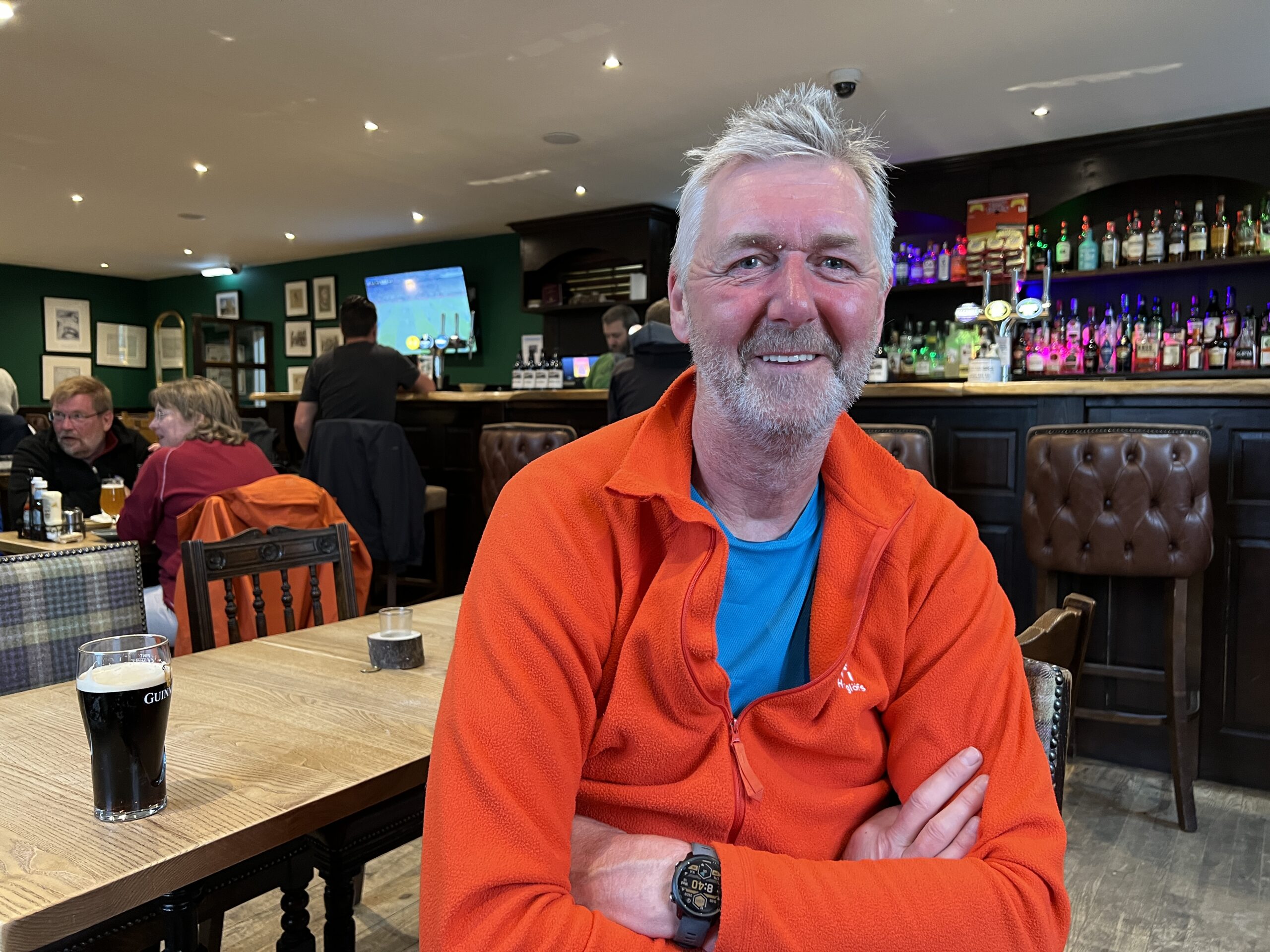
The next morning I went into Challenge Control. The only person there was Pierre De Greef, the Belgian we’d  briefly encountered when he came in late at the pony shed. 

We talked for a while. As we exchanged observations, I realized he embodied the Challenger ethos in an extreme form. Everyone who does this has a bit of Pierre in him or her.

He’s 50. He has a sister, six years younger, who is schizophrenic. He dislikes it when people paper over her illness with euphemisms. (I don’t know the French ones.) In his walk he’s raising money for Macaulay College, a “community interest company” on the Hebridean Island of Lewis, where he lives. People with mental and social problems run a farm. Things are expected of them, and their work is productive. This is what he wants to support. 

So far, he’d raised 1460 pounds of a target of 3750. The effort has liberated him, he said. 

“For my sister, there is no escape. This has allowed me to speak freely of that.”

In his driven state he’d climbed 20 Munros—mountains over 3,000 feet—in 10 days. He’d walked 240 miles in 13 days. He pulled up his shirt. “I have lost eight kilograms,” he said, in amazement. (That’s 18 pounds.)

We’re all a little driven and we all have some agenda, however secret.

What it is for most Challengers was the topic of discussion in a tea break with some of the old English and Scottish guys one day about mid-crossing.

The consensus was that the illusion of keeping death at bay—“Rage, rage against the dying of the light,” as Dylan Thomas put it—was the main driver. I observed that when people are young, strength, speed, and perseverance allow them to accomplish feats of endurance. Perseverance is a lagging indicator of age and the last of the three to disappear. It’s what most of us were running on.

So how was this TGOC for me?

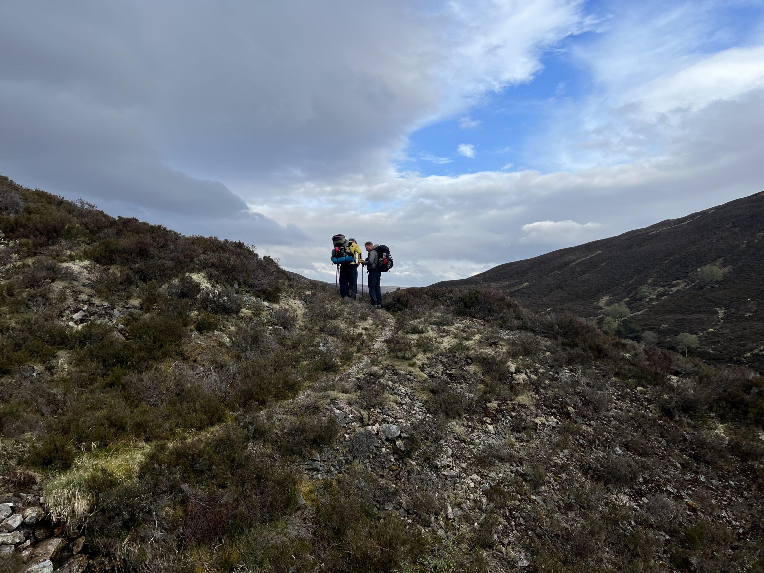
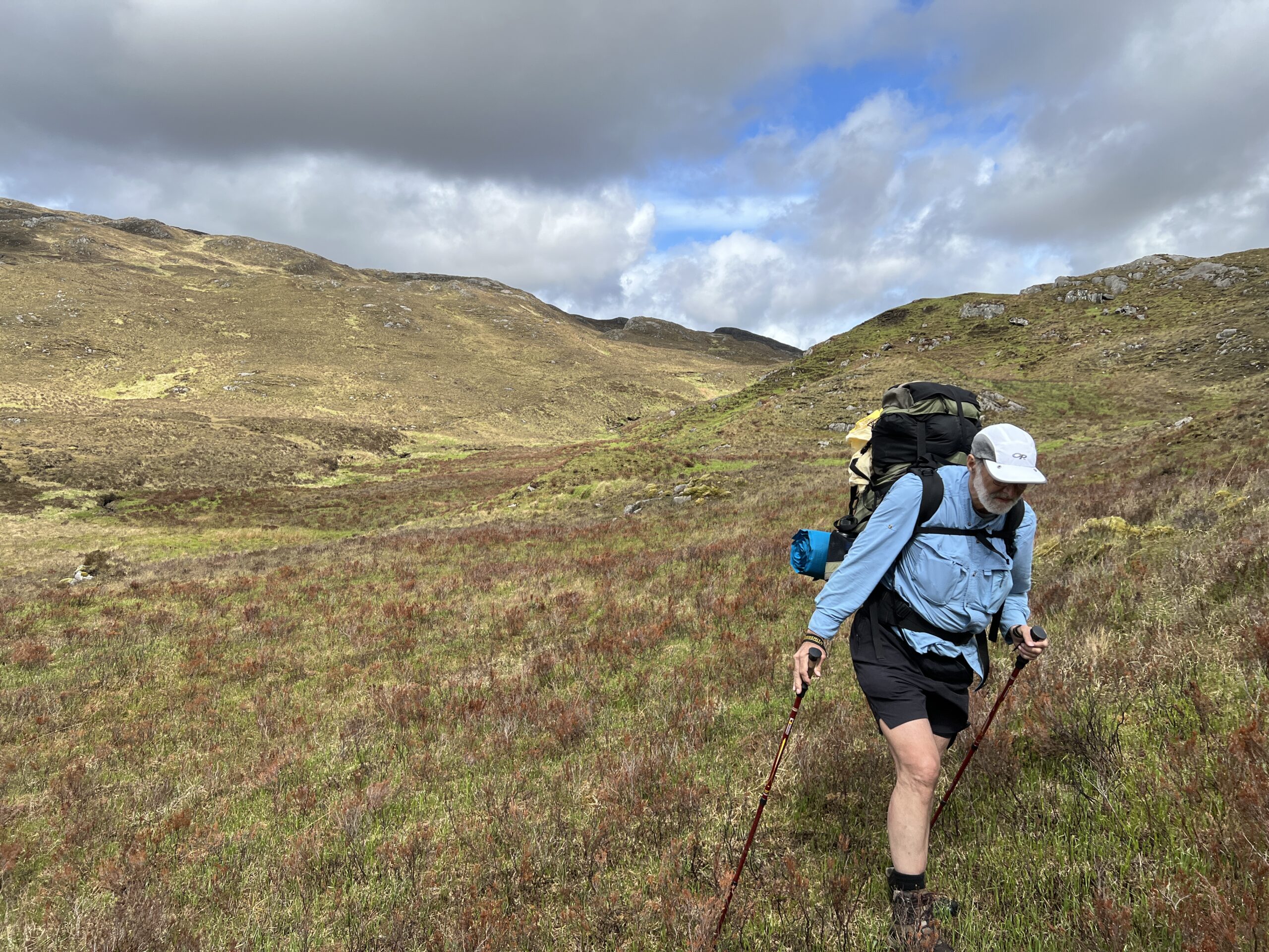
The route was harder, with lots more pathless walking. The weather was only a little worse—but at the beginning, when everything is difficult. 

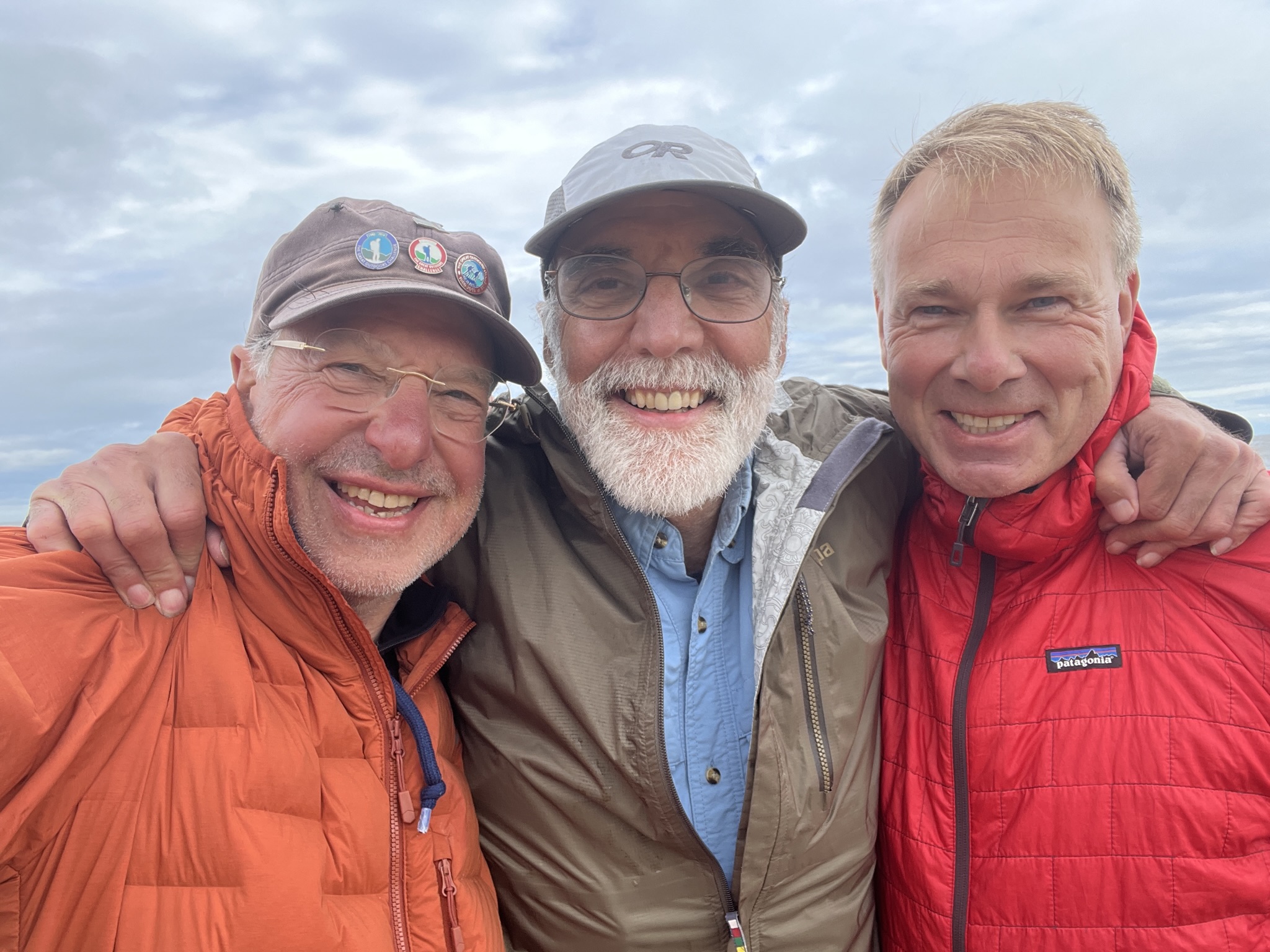
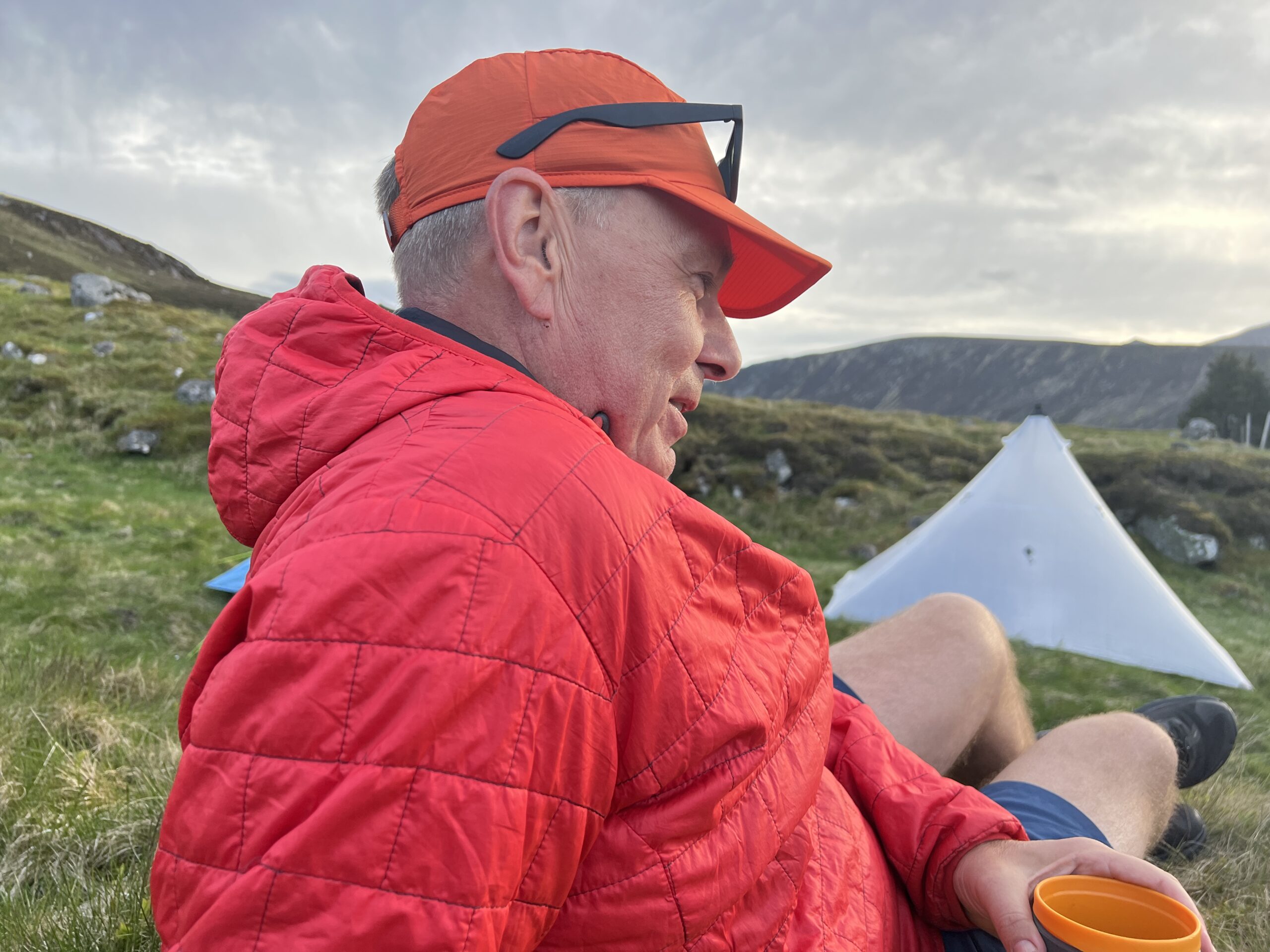
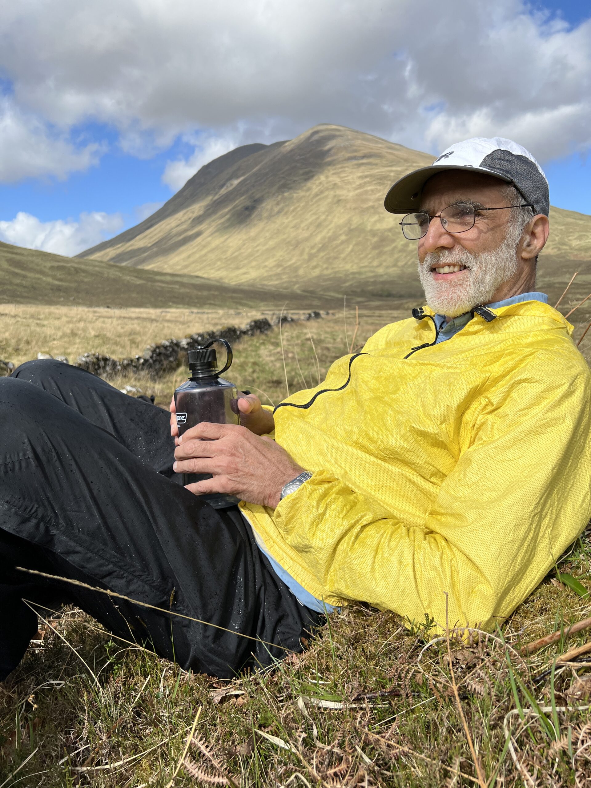
It was interesting to have a walking partner. I learned a lot from Mark Beckwith, and enjoyed getting to know him better. And Ole Hollesen—he was the Danish lagniappe.

I thank them both.

As for me, who knows if I’ll do this again? It was difficult, and my feet hurt a lot. I’m getting older and I’d rather not end with an incomplete crossing. If I never do it again, I will carry it with me.

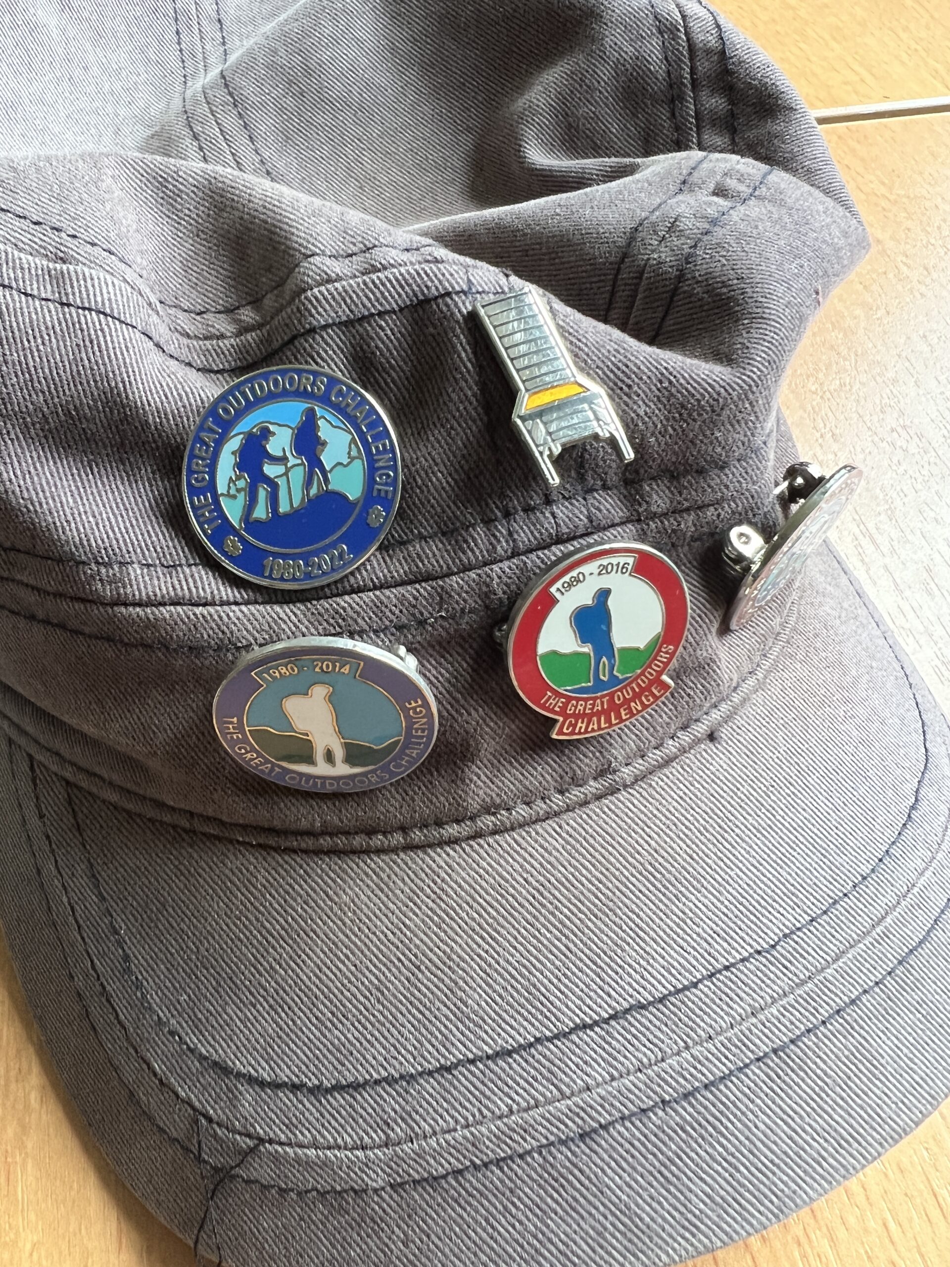
In my cap I now have one more pin, or “badge,” as they call it over here. The coordinators promise they’ll send me a 2015 badge to replace the one I lost. 

I consider myself in the deaccessioning stage of life. But this is a piece of bling I’ll happily and gratefully accept.

Scenes along the way

It’s sometimes nice to have a hot lunch.

For the English and Scots walkers, it’s worth the trouble of getting out the boiler just for tea in the afternoon.

Braemar Castle was closed, but it looked like Christo had come back from the dead to wrap it.

Some days, you can be sure, Mucomist is more accurate.

Road signs or Rorschach test? You be the judge.

Morning ablutions.

It’s hard to believe that with so much to climb in the Highlands that a park would need to put “anti climb paint” on its toilet block. (Photo by Ole Hollesen)

This is a rather odd thing to see parked in front of a second-hand store in Scotland.

This wasn’t entirely a surprise.

There were wildflowers.

It’s always nice to get a second bite at the apple (blossoms).

And in every village there is a monument to those lost in the Great War, mourned and remembered. This is in Kingussie.

Off trail again

By now you’re tired of hearing me talk about walking, and frankly I’m not only tired of talking about walking, I’m tired of walking. But who cares about that? We have to continue to the end—until feet in the sea—so let’s neither of us complain.

Here is a little about the walking in recent days.

One morning we left from a sheep pasture, next to a burn, near a corner of the Balmoral Estate, which is owned by the British royal family. As usual, it was an upward course.

By this time we’d gotten to know Ole Hollesen better. Better than what? Better than when he’d sat down next to us with his swollen ankle.

The previous night we’d heard a 20-minute synopsis of his working life. We’d gotten the synopsis of his two marriages and the death of his parents at a young age a few days before that. This is the wonderful thing about time with strangers, especially when discomfort and a foreign language loosens the lines and allows the sails to luff. It’s one of the reasons for doing this event.

Ole is a smart, skilled and principled man. He told us how he’d been approached two decades ago—he had an investment company—by a large Russian man with dyed hair who wanted to partner with him in seeking good businesses to invest in in Europe. In addition to him there was a money-crunching sidekick and a beautiful Russian siren who’d be in charge of marketing (and possibly other opportunities). Ole became suspicous, and then a bit afraid. He fended them off, and they disappeared, looking for other honest people through whom to launder dirty post-Soviet money.

Ole by this time was recovered enough from his ankle sprain to go on alone. But he stayed with us.

We headed off for a place called the Shielin of Mark. “Schielings” is the word (presumably Gaelic) for summer houses for shepherds in the high glens. ”Shielin” is a variant.

But first there were rivers to cross and trackless stretches of boggy ground to cover, across eroded banks of peat.

Underfoot is an entire ecosystem built on water. To the naked eye, it’s a vegetable world, except for the occasional ochre frog, black beetle, black slug, and salamander too quick to get a good read on coloration.

It is also beautiful and abstract. Closeups resemble Jackson Pollock paintings a little.

You’ve heard of Pollock’s ”Blue Poles”? This is my take on it.

We passed by a stream called the Burn of Mohamed. I have no idea how it got its name. But unlike the mountain, it appears to have always been here.

We got to the bothy at the Shielin of Mark. It was small but nice, and contrary to reports, had dedicated sleeping places.

From there it was across another burn and up a field of heather and sphagnum moss toward a track more than a mile away. It’s difficult to describe the effort required to carry a 35-pound pack up such terrain, all the while searching for the step that won’t finally result in full-foot immersion.

It requires navigation, by line-of-sight and GPS. And rests.

The gravel track you finally gain is a mixed blessing—rock-hard, and in places ridiculously steep.

But everything that goes down eventually flattens out. For us, on this day, it was at the Stables of Lee, which actually are still stables.

I didn’t see any horses, however.

We stopped for lunch, which involves not only taking off the packs but also the boots and socks. It’s important to find a place out of the wind, on a slope where one can lie back on a pack and sleep for 15 minutes after eating. Lunch is invariably gorp, cheese, dry sausage, and water.

This is Ole and Mark.

This is the last thing I saw before my 15-minutes kicked in.

Glen Feshie

In setting the route for this crossing I intentionally added exotic stretches so that Mark Beckwith, my walking companion, could see as much varied terrain and as many degrees of isolation as possible. 

To that end, we planned to go on the western side of the River Feshie, the watercourse that created one of the Highlands’ best-loved valleys, Glen Feshie.

“It’s good to see you opting for an interesting and adventurous variation on the popular Feshie/Goldie corridor,” wrote the man who reviewed and approved (“vetted”) my route, Colin Crawford. “You’ll lose most other Challengers by following the West Bank . . . I’ve never walked the path through Allt Lorgaidh; it is rather a route to nowhere and likely to be rarely frequented . . . The way through to Caochan Dubh will be trackless but likely not too demanding and, hopefully, you’ll find good pitches on the grassy river flats. Enjoy your pitch here, a deliciously remote spot.”

Couldn’t be better, right?

Several bridges over the River Feshie had washed out in recent years, making a commitment to the west bank essentially irreversible once a person had dropped south of the main bridge still standing. Inspection of the topo map revealed a very steep climb planned for the afternoon, and then an eastward walk over the high moors on no path. Our projected camping spot was on a high, flattish bench with a lot of small ponds—unlikely to be dry. In all, it looked like a repeat of our first day, the one in which our 8.5 mile route turned into 17 miles.

It was with some guilt I proposed that we do the “foul-weather alternative” for the day—a tamer trip down the east bank, which I’d done on a previous Challenge. The “interesting and adventurous variation” that had so impressed the vetter would be for another life.

This decision paid off almost immediately.

We stopped for lunch before going over the remaining bridge to the east bank. It was windy and we sought protection on the slope down to the river, on a mat of dead grass and ferns under some trees. We lay down with boots off and our feet bare, our packs were up at the trail.

“Resting your boots, I see,” said someone coming through the thicket. I craned my neck to look. It was Ole, the Danish man we’d had dinner with at the Lochailort Inn the night before we started. (Pretty clever line, too, given that it was in one of his five non-native languages.)

We greeted him like an old friend, which he was in the TGOC time warp.

Ole Hollesen

He sat down next to us and took off his boots, not to rest his feet but to inspect his right ankle. He’d twisted it the previous afternoon. It was red and swollen, and he was walking on it conditionally, not sure how long it would hold up or whether he’d have to “retire” from the Challenge.

We invited him to join us. Normally, he was an upright, long-striding machine. Crippled, however, he might be in our league. He said he’d love to walk with us (and he has been ever since).

Our interim destination was a bothy partway up the glen (the river was flowing north) that I’d seen in 2015. Back then it was like most bothies— dark and dingy, more interesting than inviting. Since then, the owner of the estate (which comprises most of the glen) had spent more than $350,000 turning it into a show piece. 

It was about 200 years old. Everything had been removed down to the lintels over the windows. The wooden floor was pulled up, and three feet of dirt–the original dirt floor–dug out. A two-story addition, with sleeping rooms upstairs, was added. 

The owner of the estate, it turns out, is a Dane, Anders Holch Povlsen, who made a fortune in clothing. He’s the largest private landowner in Scotland, with 221,000 acres. In 2020 he was the 255th richest person in the world, Ole told us.

Greeting us outside as we took off our packs was an elderly man named Lindsay Bryce, the official bothy host whom I’d met on the previous visit. He wore a plaid sweater and a herringbone flat cap. 

Lindsay had made enough money in oil and gas to retire at 45. (He’d had long stretches in India and Congo Brazzaville.) He has a house in Glasgow, which he gets down to every other month; he spent 42 days there last year. Most of the rest of the time he’s at the bothy, sleeping in a non-private room upstairs and serving walkers tea and fruit for free.

Lindsay Bryce and his tea caddy

There was a wood fire in a stove and a kettle continuously boiling. As he served us, four more people arrived.

“I cannot fault him in his vision,” Lindsay said, understatedly, about the Danish proprietor’s renovation project. At one point, he put up two hooks in the upstairs rooms, anchoring them with Phillips head screws. “He spotted them,” Lindsay said of the owner. “He asked me to replace them with domed slot-head screws, as that was the design style for a building like this.” 

It would have been nice to stay there. Besides Lindsay, there were only two guests set for that night. (The record is 42; I should have asked what the weather was like that day). But we had a long way to go.

Where we’d end up was uncertain. We were hoping for another bothy, given the flimsiness of my tent (and Mark’s too), but there were none in walking distance. Lindsay did tell us, however, there was the remains of a pony shed (probably floored in dung, he warned) and the ruin of a structure one might be able to crawl into, about seven miles away. We headed for it.

The trail was a long, steady climb, on a single path through the heather and grass. At places the path was eroded, with a long slide down to the river if one lost his step.

We soon hit what became our modus operandi—Ole and Mark at least five minutes ahead of me, sometimes out of view.

We walked, and we finally got there. In all, we’d walked 18.4 miles that day.

Across a small burn on a high spot was a red tent. Bernie Roberts, a 76-year-old man on his 23d crossing, stuck his head out of the door and said hello. Not far down the hillside from him was a tiny building with one intact wall and a metal roof. The dung, thankfully, was long gone. 

Carved into one of the remaining pieces of woo, and barely legible under lichen was a date: “AD 24 – 10 – 00” (October 24, 1900, presumably when it was built).

There was just enough room in it for my tent, whose pitch I improved by cinching the top of it to the remaining underlayment of the roof with a piece of parachute cord. Mark and Ole pitched outside.

By that time it had started to rain. We retired to our tents to cook and eat alone, talking like the aforementioned “kinsmen met a night” in adjoining tombs. It eventually got dark and eventually we fell silent.

The next morning after breakfast I climbed up the slope. Bernie was long gone. A low and incomplete set of walls was all that remained of a small building, purpose and age unknown. There was nothing one could have crawled into to get out of the weather.

Next to it, perceptible only by a change in the mix of mosses at its perimeter, was the buried remains of an attached room, probably for animals.

The back wall, covered in moss two-inches thick, was a good place to stand and take a panoramic shot with my phone. 

It was raining lightly, trichromatic, empty, mysterious, and cold—another perfect day to walk in Scotland. 

In Glen Feshie

Challengers

I suppose I don’t need to convince you at this point that people who do The Great Outdoors Challenge are not a representative sample of the population.

They are, however representative of a fit, ascetic, solitary (but also social) sliver of humanity that, in my experience, is enriched in the United Kingdom and Northern Europe, but not absent in the United States.

Here are a few of the people Mark Beckwith and I have met.

We spent one of the early nights at a bothy in Melgarve. It hadn’t been tarted up—and believe me, we like tarted bothies—like two we’ve seen. But it had been improved somewhat, and had two sleeping rooms upstairs, and one on the ground floor off the main room, which had a fireplace and built-in table for cooking.

It was there we met Sean Sexton and his wife, Joyce, who are from outside Anchorage, Alaska. He’s about my age; she’s younger. Sean is on his second crossing. He looked, frankly, like a person at the limit of his adventuring ability, like me. But how wrong I was.

He was a civil engineer (raised in Indiana) who worked for most of his career cleaning up Superfund sites, principally for the military. He made enough money that he could retire early, in 2006, and turn to his chief passion—difficult outdoor activities.

He’s done the Appalachian Trail, the Pacific Crest Trail, and the Continental Divide Trail—the Triple Crown of long, difficult backpacking hikes. In June he’s doing a solo 200-mile hike in the Brooks Range, with food dropped by airplane every five days. When he gets to the end, he’ll go on a six-day solo paddle on a river, with a pack raft. He has one prosthetic hip and a coronary stent.

When he first did the Appalachian Trail, he carried a pack that weighed 70 pounds. “Back then, we bragged about how much we carried,” he said. Among the things he carried was a copy of ”The Complete Walker” by Colin Fletcher. Within three weeks he’d shed half the weight, including the book.

I mentioned to him that I once met a young man who’d done the AT and had a rule that if he hadn’t used an object in three days he’d send it home. The man eventually sent home his jackknife. Sean nodded and showed me the kind of knife you get as a novelty for a keychain, clipped to a loop on his pack.

“This is what I have,” he said.

We talked further. It turns out he carries a down quilt, not a sleeping bag. You can tuck it under the edge of your body, but you don’t have all that compressed down under you—such wasted ounces!

He comes back to Alaska in November for “repair season,” he said, referring to his body, not the equipment.

Joyce and Sean Sexton

Mark and I stopped at a bothy one day and, unusual for our newly developed habits, got out the “boiler” (as they call it over here) and had a hot lunch. As we were finishing up, the door open and in walked a man in a half-zip waterproof mountain shirt, and other semi-high-tech kit.

He was Gordon Fraser, a New Zealander now living in England, on his second Challenge. He’d done 13 miles that morning and had a long way to go. He ate underway. He was ex-military and had spent two years in some sort of defense department exchange outside Richmond. He came and went so quickly that all I could get was a picture of him out on the trackless ground, checking his bearing.

Gordon Fraser, underway.

But we caught up with him again a week later, at Tarfside. He looks a little like General Stanley McChrystal.

I walked for many pleasant hours with a man named John Meldrum, 76, a retired mathematician on his fifth crossing. He’d “retired”—the decorous Challenge term for quitting—once and had some unfinished business. His son had walked with him the first three days, and a friend his age, John Scott, for the second three days.

He’s done some very serious hiking and climbing in Morocco, Nepal, and Corsica (and all through Britain) since retirement. He wears semi-closed toe Kean water shoes, sometimes with socks and sometimes without. I asked him if he ever used boots. ”Yes, I wear them in the winter, when it’s cold.”

He was quiet and unusually thoughtful. It was good to see him a day or two later for a tea break in the redone (and tarted up) Glen Feshie bothy.

John Meldrum, left, and his three-day companion, John Scott

Mark and I ran into three men, two from Worcester and one from Milford, Mass., on their first Challenge. Mark had once been the pastor of an Episcopal Church in Worcester. Digging around, the came up with mutual acqaintances.

Taylor Bearden, 29, on left, and Albert LaValley, 37, on right.

In Glen Feshie, we stopped at a 122-year-old mostly gone pony pen after an 18.4 mile day. It rained and blew hard during the night. After dusk we heard someone else arrive.

Ole our Danish friend greeted him and offered to put him up in his conical tent. I called out that there was some single malt in a Nalgene outside my tent if he wanted some. He took up neither offer. He’d walked 45 kilometers that day—29 miles—and summitted one mountain.


When we met him in the morning we learned his name was Pierre. He’s a Belgian engineer who’s been living on Lewis in the Outer Hebrides for the last six years. He now works as a gardener. He’s raising money on his walk for a school for disabled people in Lewis.

And then there’s Dave Wood.

He left from the same place on the West Coast—Lochailort—as we did. He’s 61, from South Yorkshire, in England. He, too, is an engineer—mechanical—who’s now working in “quality control.”

On June 2, about two weeks away, he’s going in a 100-mile walk in the Peak District of England. It’s an event sponsored by the Long Distance Walkers Association. Most people do it in a couple of days. There are checkpoints every six or seven miles where you can stop for up to two hours—and sleep if you like. About 500 people are signed up.

He’s a big runner. He did a 60-mile run a month ago. He attempted a 100-mile run, but rolled an ankle and couldn’t finish.

He’d played soccer and cricket as a young man, but didn’t take up running until 10 years ago, when he quit smoking.

“I needed something to dissuade me from wanting to smoke,” he said, as we had a beer in Braemar. He was a pack-a-day man. ”I don’t feel the urge any more.”

Addendum

Two weeks after the end of the Challenge I got a message from Dave Wood that he’d successfully completed the Trans-Pennine 100. He walked 101.1 miles in 40 hours and 46 minutes. The fastest time was 23 hours, by a runner. Checkpoints about every seven miles served food and drink. He and the man he was walking with didn’t stop for sleep, and he hallucinated for the first time in his life during the second night. When it was over he slept only eight hours, but took frequent naps over the next few days. “A very memorable weekend, so much so, I’m thinking of doing it again next year,” he wrote.

A glen

We have valleys in the United States, but the ones I know are huge, indistinct, developed, and subject to the desires and needs of thousands of people.

Scotland has glens. They’re valleys, too. But in some parts of the country they’re everything American valleys are not.

Walking up a glen in the Highlands—some, at least—is like ascending the floors of a manor house, or digging down through geological strata. You start in one world and proceed, doing nothing but keeping a reasonable pace. Soon enough, you pass through other worlds.

Mark Beckwith and I began our ascent of Glen Roy at Roybridge, a village east of Spean Bridge on a major road called the A 82. We turned at a hotel—possibly the only one in the village—onto an asphalt road heading into the hills. It turns out the road was paved for miles, passing well-maintained and handsome houses–a rich neighborhood, in a word. Like many Scottish roads, this one was one-lane, with pullouts (“passing places).

We stopped for lunch at a stone bridge and had entertainment as we ate. A young man in a big truck—he was delivering construction supplies, I believe—descended the road and stopped before crossing the bridge. He got out and dismounted a skidder-like vehicle attached to the back of the truck; it was going to make the truck too long to make the turn onto the bridge.

He threaded the needle and stopped on the other side, partway up the incline the bridge had spanned. He retrieved the skidder, reattached it, and moved on. We waved at him several times.


We passed by a mailbox in the middle of nowhere (but still on a tarred road, so I guess it was somewhere). You can’t find these for love or money in Baltimore.

We passed by old houses, with slight variations from one another. One was a dusty green, a color I’d never seen over here.

Unlike many glens, Glen Roy has distinct benches at varying levels above the river valley. Important geological insights were made here. Some natural historians, including Charles Darwin, believed they were evidence of old seashores. Louis Agassiz correctly described them as the result of damming caused by advancing and retreating glaciers.

The reddish brown swatches on the landscape are fields of dead bracken fern laying like mowed hay. We’ve walked over this. It’s not as hard as over bog.

There was agriculture, or more precisely animal husbandry, for a long distance up Glen Roy. The animals, of course, are sheep. They’re the great mystery product of the Highlands. Their wool has virtually no value. England imports the lamb it sells in supermarkets and serves in posh restaurants from New Zealand. And yet two hours drive to the north of the Borders there are hundreds of thousands, if not millions, of the animals. I’ve asked some well-informed Scots on the Challenge to explain this, and they too are mystified.

Lambing season is over. The lambs are grazing on their own, but never far from their mothers, to whom they run and, butting her teats with their noses, proceed to nurse whenever a nervous-making thing like us passes by. Here are some rare black lambs doing same.

Lambs are cute. (Adult sheep, on the other hand, are intestines covered in very untidy wool.) Lambs are also exceptionally shy. So it was a surprise to us when we encountered one outside the fence in the reeds next to the road. It approached us, bleating.

We looked around for a ewe, but did not see one. The fact there was no frantic mother encountered in the next 10 minutes should have registered more explicitly, but it didn’t. All we knew was that we were on a paved road, which didn’t seem like a great place for a lamb. So, with little effort, I approached and picked it up.

(Is there enough room at the top of my pack for this little thing? I briefly asked myself. I can’t offer milk, but I have some great freeze-dried spaghetti Bolognesi. But I think I’ll start with a dog.)

As it happened, we were near a gate in the fence. With some effort, we opened it and put the lamb into the field, where there were many of its kind. As we walked away, it followed us down the fence.

A few minutes farther on we encountered several sheep (none, however, with lambs) on the other side of the road and also outside the fence. None seemed like a frantic mother, but we had to consider that perhaps our rescued lamb’s mother was one of them.

We went back to the gate and opened it. The lamb was still in view, but now concentrating on getting the attention—the milk and protection, actually—of a ewe nearby. She gently butted him. I approached them both, and the ewe, one of three, headed down the hill from the road, the lamb shadowing it as if she were its mother.

I went back to the gate and closed it. The lesson was: in nature, leave things as they are. I hope for the best for the lamb, but am not optimistic.

The other lesson? You combine a retired bishop and a guilt-ridden agnostic you’re going to get acts of charity that aren’t strictly evidence-based.

We passed the bothy our vetter had recommended. It was as nice as he said.

On we walked.

The paved road ended and was replaced with a two-lane gravel-and-dirt track. We walked through the Highlands that people come for. I personally like the few wild trees that still exist, not the crowded, fast-growing pines of the forestry plantations—the broiler chickens of the lumber business.


There were no people here, not a motor vehicle or structure in sight, and no airplanes or vapor trails overhead. Such emptiness gives one pause, because it wasn’t this way.

“The Scottish Highlands, contrary to the image projected in countless tourist brochures, are not one of the last great wildernesses in Europe, but in many parts can be more accurately described as a derelict landscape from where most of the families who once lived and worked the soil have long gone.”

So writes T. M. Devine, the author of “The Scottish Clearances: A History of the Dispossessed 1600-1900” (2018)

An observant walker occasionally notices piles of stone in vaguely square configurations—the remains of cottages, barns, chapels. One’s tempted to view them as the remains of villages from the Middle Ages. Some may have such an ancient history, but most are from the late 1600s to the 1800s.

In the 1600s “the mass of the population in the Highlands and Islands lived in poor smoke-filled turf huts,” Devine writes. He mentions a traveler in the late 1780s who described dwellings as ”pitiful cots, built of stone and covered with turves, having in them but one room, many of them no chimneys, the windows very small holes, and not glazed.”

One thinks about the life. Devine helps, in his book:

“The common food and drink crops were oats and bere (a hardy form of barley), both grown for their resilience in a harsh climate . . . Oats were the dietary staple throughout the Highlands , while from bere came ale and, later whisky . . . Meat was rarely consumed in Gaeldom as animals were too precious a potential cash commodity for them to be sacrificed as a source of food.”

Many of the paths we are walking on are narrow trenches in the heather-and-grass-covered ground. Who made them? Possibly deer. But some may be much older.

Devine writes: “Stock went on the hoof to the Lowland cattle markets of Crieff and Falkirk for onward sale. So much did their tracks become accustomed to repeated imprint of man and beast that they came to be known in time as the ‘drove roads.’ ”

We walked on, into a zone of history that is now uninhabited. It was hard to imagine people living here 500 years ago, or 1,000 years, or longer. Impossible, almost.

This, to me, is the siren song of history. Anyone can understand the Council of Trent. But can you imagine the lives of the people whose spirits and bones are all around you?

I talked about this with another man, John Meldrum, a 76-year-old Scot who lives in Dunbar. He’s a thoughtful person. He said: ”It was a hard life, but that doesn’t mean it was an unhappy one.”

I guess that must be true. Love and art were made in concentration camps. Love and art were made on plantations in the Mississippi Delta 1890-1935, the cruelest era of American feudalism.

We walked. We finally got to another bothy, where we spent the night. This is the view from it after full moon, minus one day, rose.

Not long before we got there I asked Mark if he noticed anything different about the river we’d been walking along all day.

It was a different river, in the same place, flowing in the opposite direction. We’d walked over the watershed and were in a new glen.

Our own private bothy

Scottish hillwalking’s most venerable tradition is the “right of public access.” It allows citizens to cross private lands and camp on them, with some restrictions. A similarly public-spirited tradition is the maintenance of repurposed farm buildings or tenant cottages, called “bothies,” as shelter for cold and wet hillwalkers.

Today, Mark Beckwith and I brought the traditions together.

We’d been walking for 12 miles in on-and-off rain and rising afternoon winds. Our goal was a bothy the vetter of my route had mentioned in his comments after I’d submitted it for approval. I’d proposed camping near an ancient stone bridge on the estate that owns (or at least controls) a big part of Glen Roy, one of the many river valleys, or glens, of the Central Highlands. 

“I’d suggest going a little further along the glen beyond Turret Bridge, which is perhaps a little close to the lodge,” wrote Colin Crawford. “If you can stretch as far as the bothy, you’ll find it to be a comfortable overnight halt, with an impressive staircase and a large open plan upstairs area. At one time you could always assume that it would be well-stocked with wood, thanks to a retired Mountain Guide who lived down the glen. That may still be the case, but the gentleman in question must now be getting on in years, if indeed he’s still there.”

We’d passed Brae Roy Lodge, an imposing stuccoed stone house that I’d say was mostly built in the first half of the 1800s. It’s undoubtedly where the owner of the estate once lived (or stayed in if he was an absentee), but there were no cars outside and no evidence of life at the moment.

We walked on. Less than 10 minutes away, out of view of the lodge, was the stone bridge in question—a simple, handsome, and indestructible piece of engineering of the kind one encounters occasionally in the Highlands. Such places always set my mind to wondering.

Turret Bridge

You could create a whole history course around this bridge, making it a keyhole through which to view economy, culture, social structure, governance. When was it built? Who built it, and why? What’s the “turret” all about? Who was the designer and what determined its dimensions? What effect did it have on life hereabout? When did it cease being important, and why does almost nobody go over it today?

But I digress.

As we wanted to avoid another night in our pathetic trekking-pole tents, and as it was getting cold and threatening rain, we pushed on to the bothy Vetter Crawford had mentioned. In less than 10 minutes, we saw a stone building on our left, with a path mowed to it.

It certainly looked like a bothy.

I should have known that when a hillwalker says: “If you can stretch as far as the bothy . . .” he isn’t talking about an eight-minute walk. In fact, the building that Mr. Crawford said we might want to push on to was more than three miles up the trail. (More about it in the next post.)

We walked up to it. There was no sign of recent activity. It was unlocked. We opened the door and walked in.

Leaning against the walls and piled along them were lots of rough lumber, posts, pallets, propane tanks, attachments for farm implements, ancient containers of agricultural chemicals, and a sheet-metal cabinet. The fireplace at one end was entirely hiddlen by stored stuff.

There was plenty of room for two sleeping pads and bags. The items in storage doubled nicely as counters for camp stoves and water bottles, and as drying racks for clothes.

Invoking need, the Scottish right of access, the worsening weather, and our sense of stewardship, we bothetized the building for the night.

Like many such buildings, this one had three facades with no windows. However, like many it now had skylights cut into the slate roof. I can’t imagine they were original. But they are very useful, especially when the sun doesn’t set until 9.30 p.m.

It wasn’t warm and it wasn’t particularly comfortable. But it was out the rain. You didn’t even have to walk far from the front door to urinate in the middle of the night, as the wind whistled. It was, after all, our bothy.

We were thankful to the unknown people who’d built it, lived in it, abandoned it, reused it, and left it open. We left our nameless ghosts with it proudly.

Water on a slant

We broke camp after the first night on a grassy verge of a forestry road and stuffed the sopping tents into our packs. Most everything else was wet too, although my sleeping bag was spared. Firing up the stoves didn’t seem like the greatest idea, as it was starting to rain again, so we just headed down the road to Glenfinnan.

The first hotel we got to in the village said it was no longer serving breakfast even though we could see people inside eating. Of course, we didn’t look like the most desirable guests.

A little farther on was an old railroad dining car that had been turned into a cafe, near the train station. We settled in. I had a venison sausage sandwich and series of cups of coffee. Soon, we saw a large number of people outside, a few of whom came into the dining car. They were passengers on a Harry Potter-themed, steam-powered train. (Mark had noticed something I hadn’t—a gift shop next to the dining car selling wands.) The high point of the trip is going over the Glenfinnan Viaduct, the high, beautifully curved bridge featured in the movies. Pretty much everyone but the locals now call it the Harry Potter Bridge.

For the next day we intermittently heard the rhythmic chugging of the engine, and we saw steam rising above the treeline once, but never got a closeup view of the train itself.

At the far end of the village we headed into the hills again, following a stream. We passed a forestry project with stack of cut pine logs.

We stopped for a rest and experienced something frequent in Scotland—rain when the sun is out.

There was a path along the stream for a while, but it eventually petered out. That didn’t matter because we were planning on leaving it anyway, to head up one of the sides of the valley it formed.

The sun stayed out for several hours. It was a beautiful afternoon, with views that you come to Scotland for. The land is brown from last season’s grass and heather not yet in bloom, but patches of bright yellow gorse illuminate the landscape, and flowering bluebells decorate it at one’s feet.

We crossed numerous small streams that flowed down the hill to the larger one we’d left behind. Along one was a gnarled grove of trees newly in leaf.

The walking was steep and difficult. The ground is soft and in places saturated with water that was kept from flowing by grass and moss.

We’d come from the stream far below.

The plan was to go around the north side of the hill we were climbing, but we realized we could cut some distance if we went around the south side. The original route is in magenta, the one we took in blue. Our destination was Glensulaig, on the right end of the map.

We climbed to the elevation of our destination and then walked along that contour line (the 350 meter one) as best we could. We eventually saw in the distance a dark, vaguely conical structure—the ”bothy” where we hoped to spend the night.

Bothies are former dwellings or barns that are maintained for hikers, although they offer little more than shelter. There are usually no bunks. There’s often a tiny fireplace built to burn peat, but as nobody cuts peat for them and there isn’t wood around, the fireplaces are unusable.

We saw a bunch of tents outside this one, which made me think it was already full, probably with Challengers. But it turned out to be a group of 11 teenagers (mostly age 15) on an Outward Bound trip. They were all sleeping in tents, as were the leaders, so Mark and I had a room out of the weather for the night, which had turned quite cold.

We spent an uneventful night and then headed downhill toward Loch Eil. The route took us through another pine plantation.

To shave off some distance we went diagonally through the forest on a track, looking out for a cairn marking a path down to the lakeside Outward Bound Center that one of the leaders, Craig, had recommended. But we didn’t see the cairn or a path.

The track we were on eventually came out onto a cleared area that we were able to go down, although the ground was another version of sloped land holding water. We had to step from hummock to hummock, trying to avoid water-filled holes. It was hard going. Of course, our feet had now been wet for two days.

We eventually got to the bottom, had lunch in a restaurant, and then headed up the Caledonian Canal, an ancient feat of engineering that, with the assist of long lochs reaching deep into the country, created a water route from the west coast to the east coast through the middle of the country.

There were a few people crazier than us.

We eventually got to Spean Bridge, a village where my father and his friend had spent a night on their bicycle trip in July 1936. We were glad to have a room in a guest house, a shower, and dinner in a sports bar.

It had rained every step of the 19 miles we walked that day.

The first climb

Mark Beckwith and I did our unplanned leg-and-core workout in advance of The Great Outdoors Challenge with three hours of standing of a four-hour train ride from Arrochar to Lochailort, our embarkation point.

Perhaps the gods of the Challenge, knowing we were underprepared, did this to give us a final toning. Or to mess with us—hard to tell.

My friends Deborah and Paul Richard, who live in Argyll at the Kyles of Bute on the west coast, had graciously hosted us for three days. On the day we arrived we squeezed in a visit to the ruins of St. Blanes Monastery on the Isle of Bute, a short ferry ride from Colintraive, the village where they live six months of the year.

I’d been to St. Blanes on a previous visit. It’s where some of the earliest Christians in Northern Europe lived and prayed in the 600s, until the place was sacked by the Vikings. Living there, and being valuable enough to be destroyed—it’s all a bit hard to believe.

There is nothing from the monastic days left but piles of stone that might have been the walls of monks’ cells. The ruins of a church from much later telegraphs to visitors that this is a site where people thought about God.

We visited in part because my walking partner is a man of the cloth, the former Episcopal bishop of Newark, New Jersey, and before that a parish priest in many places.

Paul Richard on the left, Mark Beckwith on the right.
Deborah Richard at the burial ground for women.
Ruins of the later church.

Deborah and Paul delivered us to Arrochar to begin our journey north. We had the jitteriness of kids being delivered to college for the first time. We were sorry to part company, but it was getting close to time to walk.

When we disembarked at Lochailort—a stop you have to ask for, as it’s so obscure—we walked to the Lochailort Inn with a man who became, Challenge-style, a great friend in under 24 hours. His name is Ole Hollesen. He’s a 59-year-old Dane who looks minus-10 his age, a Challenge first-timer.

Ole lives just north of Copenhagen, and is a military veteran whose current job is to handle finances and logistics in movies. He even had a bit part in one that won the Academy Awardin 2021 for best foreign film. It was called “Another Round.”

Ole has done a lot of walking. Brief conversation and a look at him reveals he’s somewhere between an ultralight and ultrafast walker. He walked across Iceland—500 kilometers, or 310 miles, in 19 days, with one resupply (which means he carried food for half the trip with him at the start). He’s hiked in Columbia, Majorca, and all over Scandinavia. He speaks nearly accentless English, along with the other Scandinavian languages, German, French, and a little Italian.

He has a tough route, going alone. We hope to run into him again.

Ole Hollesen

We signed out on a register at the hotel, as required by Challenge rules, and began our walk at 10.23 a.m. on Tuesday, May 10. Here is Mark and me, the picture taken by a fellow Challenger at the inn who was outside for a smoke.

We proceeded down the road and then off to the left on a path, past a crew doing some sort of digging with heavy machines. We walked along a stream, gaining elevation. The weather was good and the sun was out, but we took no solace. It was going to rain, it was just a matter of when.

The route I chose for this walk was borrowed—actually taken, with permission—from two people I’d met on a previous Challenge, Andrew Walker and Alan Sloman. The photographs of it on Andrew’s website were spectacular. Eager to please, I chose it for Mark’s inaugural, and probably only, walk across Scotland. This may turn out to be trying to please too much.

The route involves miles and miles of no-path walking. In other words, navigating by a route laid down electronically on a topographical map, or by interpolating on a paper map, but with no visible path underneath your boots.

It requires all sorts of things to go off trail as much as this route requires. The big three are: knowledge of navigation, good judgment, and perseverance. It turns out Mark and I had only the last.

After a while of walking up the stream—or “burn,” as they’re called over here—Mark and I turned 90 degrees and climbed up a treeless, heather-and-grass covered hill. I’d call it a mountain in a land of small but endless mountains, like Scotland’s Highlands.

It’s easier to describe the next five hours if you see where we were. Here are few pictures.

It’s immense open space, empty in a conventional sense, but clearly not in a historical sense. It’s surprising the amount of metal one encounters (mostly remains of fencing), and the inexplicable piece of garden hose-size pipe sticking out the peat every once in a while. It’s hard to believe anyone needed to move water around up here.

The pictures don’t do justice to the conditions we encountered. The day’s route was meant to be 8.5 miles, by the mapping app used. We ended up walking, by the Apple watch calculation, 17.03 miles.

Who cares which was less accurate? What’s clear is that we walked a great deal longer than we planned to.

This was because neither of us had studied the paper maps closely enough to have topological “handrails” in our minds as we looked at the hills and cliffs around us. We also (and more embarassingly) didn’t have adequate facility even with following a course on the GPX route on my phone.

Mark was unprepared in both regards. I’d done insufficient review of both skills, assuming they’d come back in real time. They did not. We walked in the equivalent or circles (although not actually) for a long time.

The idea was that we would ascend the side of a hill at the river-end of a long chain of hills, and then walk along the tops for miles. “The tops,” of course, isn’t what it sounds like. It’s up and down, up and down, not just across.

But that wasn’t the biggest problem.

It began to rain, and then it began to blow. I would say steady at 40 mph, gusts to 50 mph; Mark said 50 mph, gusting to 60. Whatever, it was hard to stay upright at times. Twice we thought we’d encountered hail, but it was just the force of the raindrops hitting our jackets and hats.

We couldn’t seek shelter by moving lower because lower meant going down cliffs on either side. There were, to my surprise, few outcrops that provided real lee from the wind. The only way out was through. I had to cinch my hat tighter to keep it from blowing away.

There are no pictures of all this because it was too cold and difficult to do anything but move forward.

We were forced into diversions around the equivalent of tide pools, here at the top of the Highlands. I’m glad I did a lot of rock-hopping in Maine as a kid.

In places there were undercut banks of peat forming what are called “peat hags” in these parts.

We walked and we walked, twice the distance we planned, and finally descended.

Only when we got into the protection of a forestry plantation—the ugly monoculture of pines—did we escape the wind and cold. We had been rained on since just after lunch. We made camp at the side of a forestry road about 8 p.m.

Both Mark and have tents that are erected with trekking poles. They’re a way of saving weight—in my case, three pounds over my trusty Hilleberg Akto, the wonderful Swedish solo tent that served me so well in previous crossings.

We found a grassy turnout on the forestry road and pitched camp. Even in minimal wind, the tents were saggy and loose. And of course totally wet, as were we; we’d been walking in the rain for most of the day.

I bought my tent on the high rating provided by the gear-tester of The Great Outdoors Magazine, the UK’s equivalent of Outside, and the original sponsor of The Great Outdoors Challenge. But I won’t use it again after this event.

I should have known—expert opinion aside—that the middle of a tent is where the action is. The idea that you can put trekking poles at one end, and a small arch-like pole at the foot end, and pull them tight enough to keep the middle of the tent up—minus ridgepole or center hoop—is pure fantasy. My tent, by Alpkit, is well made. The problem is the design. It will never work.

I got in, sopping wet and exhausted, and managed to boil water and make an in-bag dinner of spaghetti Bolognesi. It was delicious. If the water pot had fallen off the stove, or the stove had fallen over, I would have either been scalded or burned alive. It seemed like a reasonable risk.

It rained all night. The ceiling of the tent sagged, so I slept as if I were in a burial shroud two sizes too big—and wet. But the gods were not entirely without mercy. In an all-night rainstorm, it’s possible to kneel in prayer in such a structure and urinate in a Nalgene.

Call this particular tent a “penny saved, pound foolish” purchase. Or in my case, three-pounds foolish.

One of the 15,530

My father’s cycling companion on his bicycle trip through Scotland, England, and Wales in the summer of 1936 was John Gaylord Brackett, Jr. He was 18, my father was 19.

They’d gone to Deerfield Academy, in Western Massachusetts, together for high school, and both had just finished their freshman year at Harvard College. My father refers to John Brackett as “J.B.” in the journal he kept that summer. Whether that’s what everyone called him, or was just to save time and space in the writing, isn’t clear.

John G. Brackett, Jr., onboard ship sailing to Britain in July, 1936, with a fellow passenger.

Sometime when I was a teenager, my father had told me that the person with him on that memorable adventure was later killed while training to be a pilot, someplace in the Deep South. Not surprisingly, he never said how this death had affected him. Surprisingly, I never asked, even when I was mature enough to realize it must have been a great loss, and an emotionally complicated one.

My father didn’t serve in the armed forces in World War II, although 80 percent of his classmates at Harvard College did. He’d had a kidney removed because of chronic infection, and was rejected by both the Army and the Navy when he tried to enlist. Late in the war, after graduating from Tufts Medical School on an accelerated schedule, he worked in a laboratory in Berkeley, California, doing high-altitude physiology research for the military. In the early 1950s, soon after I was born, he served stateside in the Army as a medical officer.

What was it like to spend the war out of uniform? Were there quizzical or accusatory stares? How often did he have to give a rehearsed explanation?

I have answers for none of those questions.

Bruce R. Brown in the summer of ’36.

Of the 866 men who graduated in Harvard College’s Class of 1939, 30 died in the war, according to the 50th Reunion Report. How that number was calculated isn’t explained. Memorial Church, in Harvard Yard, lists 27 dead from the class. That was fewer than the adjacent classes recorded–31 in the Class of 1938, and 38 in the Class of 1940. (Curiously, among the names on the marble slabs is Franklin Delano Roosevelt, Class of 1904.)

There were distinguished soldiers among my father’s fallen classmates.

William Edgar Huenekens flew secret night flights into France to deliver supplies to the Resistance as part of the OSS, forerunner of the CIA. Leroy Adolph Schreiber was a P-47 Thunderbolt pilot who shot down three German fighters and damaged two others on a mission over Hanover, Germany, one night in February 1944. (He was awarded the Distinguished Service Cross.) Wells Lewis, the son of novelist Sinclair Lewis, fought in North Africa, Italy, and France, winning the Bronze and Silver stars (and also publishing several short stories) before being killed on October 29, 1944.

John Brackett never deployed, but was still, of course, considered a casualty of the war. He’s listed as “DNB” in official lists–Death, Non-Battle.

He’s among what’s surely the saddest and most overlooked of the war’s victims–those who died not in the good fight, but in preparing for it.

From 1939 through 1945, the United States Army Air Forces–the precursor to the United States Air Force–suffered 6,500 fatal accidents in the continental United States. In all, 15,530 people were killed, and 7,114 airplanes wrecked. There were, on average, almost 40 accidents and 10 deaths in training each day of the war. In the peak year, 1943, there were more than 5,600 fatalities.

Those astonishing statistics are from a 2013 doctoral dissertation by Marlyn R. Pierce, at Kansas State University, called “Earning Their Wings.” He dedicated it “To the 15,530.”

The study documents how the demand for pilots and flight crews grew as the U.S. military prepared for, and then entered, the war, and how the evaluation and training of recruits changed as a consequence. It’s fascinating, and full of incredible numbers. Here are a few more.

In 1939, the number of people in the Army Air Forces was a little over 22,000–12 percent of all Army personnel. In 1944, it was 2.4 million, or 31 percent. In 1939, there were 7 fatalities for every 100,000 flying hours; in 1943, there were 19 for every 100,000 hours.

The risk of dying increased as flight training progressed. The rate was 27 per 100,000 flying hours in small, “basic” aircraft, and 55 during “advanced” training, when crews were in larger, more complicated, and more recently designed planes.

This appalling mortality was far from all attributable to pilot error and inexperience.

The demand for aircraft was so great that companies such as General Motors and Packard that had never made airplanes were suddenly making thousands. Some had poor designs, with airframes and engines barely able to carry their armament. Some were inadequately tested. The number of engine fires and mid-air explosions was shocking.

John Brackett had just been commissioned a second lieutenant when he was killed on August 13, 1942 a mile west of Key Field, in Meridian, Mississippi. He’d left his third year at Harvard Law School and enlisted, taking flight training in Florida, and at two other bases in Mississippi.

Brackett’s father was a “special justice of the Boston Municipal Court,” according to a four-paragraph story in the Boston Globe. His paternal grandfather was John Quincy Adams Brackett, who’d been governor of Massachusetts in 1890, when gubernatorial terms were one year.

Brackett was flying a Douglas DB-7B “Havoc” light bomber. He was in the part of training called “night transition”–learning how to take off and land in the dark. In combat conditions the plane had a crew of three–pilot, gunner, and bombardier–but as this was just flying practice, only the pilot was on board.

An online data base of thousands of aviation accidents lists the cause of this one as “take off accident due to engine failure.” That same night, flying from the same airfield, the same type of plane crashed, killing the 23-year-old pilot, 2nd Lt. Walter J. Miers, of Crowley, Louisiana. The cause of that crash was “engine failure and fire.”

An Associated Press report said: “Witnesses said Brackett’s plane exploded immediately after clearing the landing field and the other accident occurred a minute after Miers took off.”

The official report of the crash, which I obtained from a website called Aviation Archaeological Investigation & Reports, tells a different story.

The cause of the crash was judged “100 percent Pilot Error,” and in that category it was judged to be 100 percent due to “Poor technique.” John Brackett had overshot the airfield in an attempt to land and was going around to make another approach when he lost air speed and crashed into a patch of woods off the base.

One part of the report said he “dumped his flaps too low to the ground.” I’m not sure what that means, but it was clearly a mistake. He’d had 235 hours of flying since enlistment, and 24 hours in the model in which he died.

Here’s a picture of the crash site, and some of the wreckage. The destruction is total. One hopes death came quickly.

John Brackett was buried in Mount Auburn Cemetery in Cambridge, the resting place of Boston bluebloods, and many famous people (Nathaniel Bowditch, Winslow Homer, Mary Baker Eddy, Fannie Farmer, Bernard Malamud, Felix Frankfurter). My father was one of the five honorary pallbearers. After that, Bruce Brown kept his grief to himself. Or at least from his children, which I realize is not the same.

As it happens, the land I’ll be walking across in the next two weeks with my friend Mark Beckwith is sacred ground.

Scotland was the training ground of thousands of airmen in World War II. About 5,000 airplanes crashed there during the war, mostly in the Highlands, which are open and treeless. Wreckage of about 300 remain visible today. I passed one site in 2015, on my second crossing. All that remains of the Audax Harrier is part of the airframe and scattered pieces of metal.

The two people in the plane survived the crash in 1939, but not the war. One was killed in 1940 in the Battle of Britain. The other disappeared in 1942 in a bombing run to Flensburg, Germany, no trace found.

The deaths of young men learning to fly is part of the collective memory of northern Scotland, and in the individual memories of some of the people still alive from that time.

In 2016, when I walked along the Moray Coast I met and interviewed a man named Donnie Stewart. He grew up in Lossiemouth, a fishing town where an airbase was built in 1938. He was a preteen during most of the war. To him and his gang of friends, watching the fortification of the coast (and helping in small ways) was a great adventure. So was watching the airplanes come and go–and occasionally crash.

“We regarded this as entertainment,” he said ruefully.

A long time later a stranger came to Lossiemouth and inquired whether anyone recalled a crash that killed three Australians, including the man’s uncle, Ed O’Dwyer. Donnie did.

All on board died, as did a would-be rescuer who tried to swim out to a rocky island where the fusilage landed. Donnie described in detail what he’d seen. That gave the man some solace, and it assuaged somewhat Donnie’s decades-old guilt.

He knew the numbers. “Three-hundred eighty-four people died learning to fly out of the Lossie aerodrome,” he told me.

Donnie Stewart

The psychological stress of being a novice pilot in wartime was clear when I interviewed a man named LaVerne Schaaf in a small town in Iowa in 2007 for another project. He’d been on the ground crew at an airbase in Alaska for two and a half years. It was hard to know which was more dangerous in the Aleutian Islands, Japanese fighters or the weather.

“We lost over a hundred men out of our outfit. They’re laying there in the bottom of the Bering Sea, up there. I don’t know how many pilots we lost,” he said, the sadness and disbelief still evident six decades later.

“The last guy, I felt so sorry for him. I put him in a plane–that was when we were on Amchitka–and helped strap him in. He was shaking so bad. He was a warrant officer. It was new to him, first time in combat.

“I told him: ‘You’re shaking so bad, you don’t have to go. You can turn yourself back in.’

“He said: ‘Well, they’ll court-martial me.’

” ‘I know. But you’ll be alive.’

” ‘Yeah, but my Dad and Mother are proud of me. I’m a pilot in the air force. I’m going through with it.’

“I said: ‘Well, all right.’

“What he did, he never gained flying speed when he took off. He got a good half-mile out there and he lost flying speed. He went down, to the bottom of the ocean. There’s where he’s laying today.”

How many people are alive today who knew John Brackett? There can’t be many.

His parents are gone, of course. He had two sisters, so I suppose there could be a niece or nephew still alive who may have met him. My father, who could have told me about what he and John did in Scotland–beyond what’s in the journal–is gone, as is everyone else from the Harvard Class of 1939.

Soon, John Brackett will recede into the deep silence of history, where we exist only as names, stories told no better than second-hand, and (if we’re lucky or had been so inclined) maybe an object or piece of writing or music that’s survived.

It reminds me of a poem by Emily Dickinson:

I died for beauty, but was scarce

Adjusted in the tomb,

When one who died for truth was lain

In an adjoining room.

He questioned softly why I failed?

“For beauty,” I replied.

“And I for truth–the two are one;

We brethren are,” he said..

And so as kinsmen, met a night,

We talked between the rooms,

Until the moss had reached our lips,

And covered up our names.

The moss has almost covered up John Brackett’s name, as it will ours in due time. As I walk across Scotland, maybe for the last time, I will keep him–little as I know of him–in mind.

John Brackett, on the road in Scotland.
« Older posts

© 2024 A wee walk

Theme by Anders NorenUp ↑