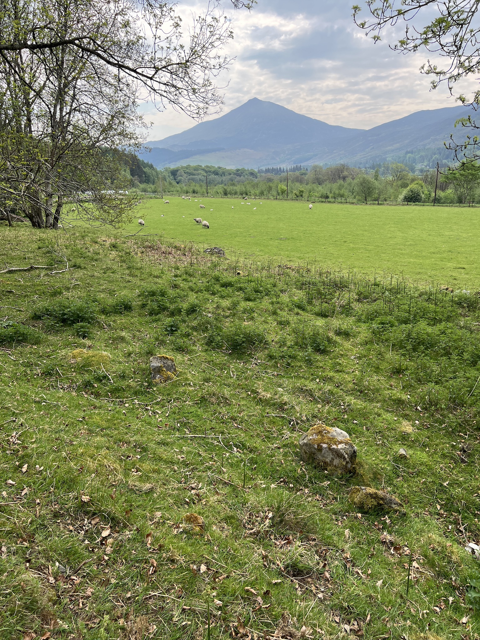
The night I spent in Kinloch Rannoch, my dinner companion, Colin Somerville, a Scot who works in London as an accountant and recently retired, mentioned that a mountain we could see from the hotel played an important role in the history of science.
The mountain is Schiehallion. It means “fairy mountain” in Gaelic, but is better described by its Norse name, which translates to “maiden’s breast.”
In 1774, it was the site of an experiment designed to confirm the prediction by Isaac Newton that all objects with mass exert gravitational “pull,” not just massive ones such as planets.
If confirmed, this idea that the measurement of a competing mass to that of the planet would allow one to make deductions about the Earth’s density and, indirectly, that of the known planets.
Newton considered such an experimental measurement impossible because a competing mass on the Earth’s surface would be too small to produce a meaningful deviation in the measured effects of gravity.
However, Charles Mason, an astronomer whose name is permanently (if less importantly) associated with the Mason-Dixon Line separating Pennsylvania from Maryland, believed Schiehallion’s shape, symmetry, and isolation might make it a candidate. Mason, however, didn’t want to do the work, so Nevil Maskelyne, the Astronomer Royal took it up.
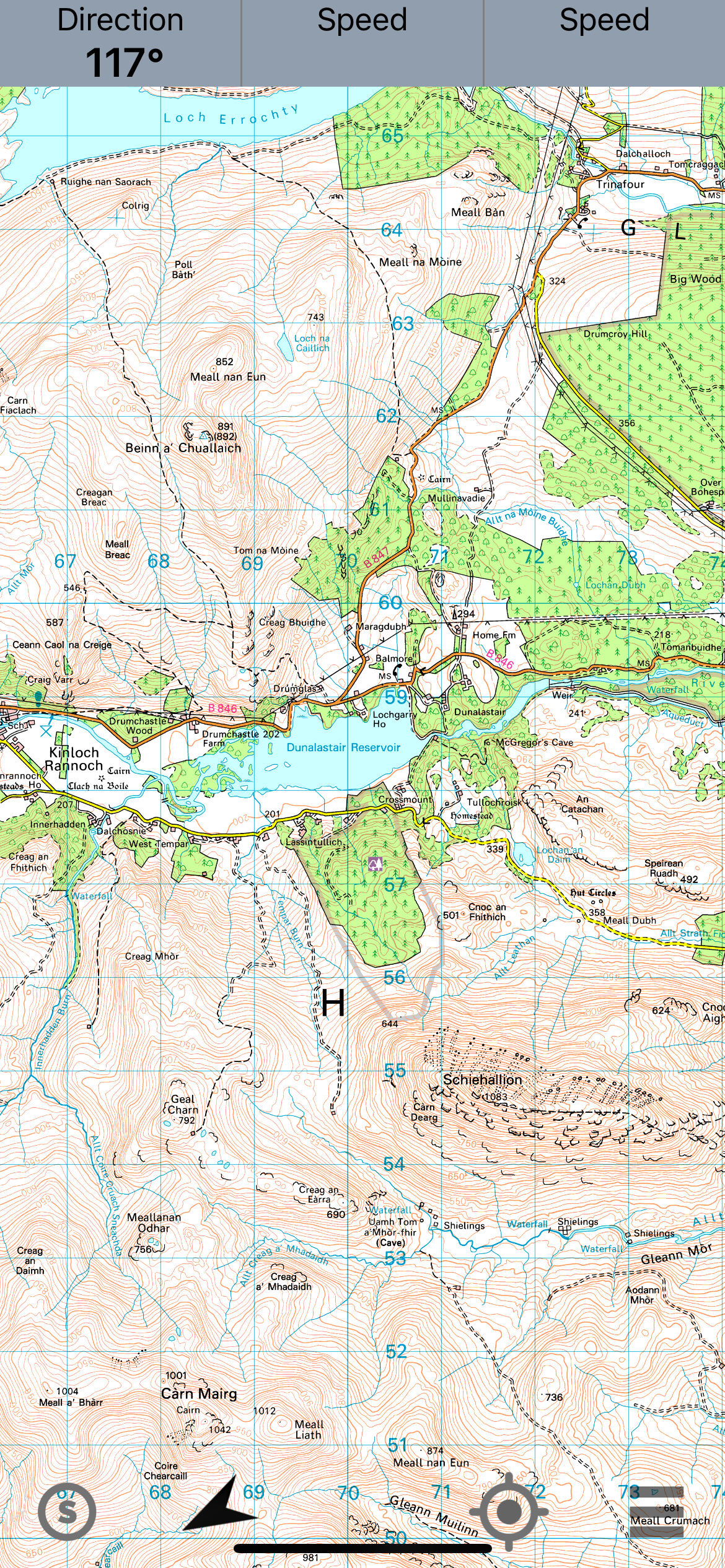
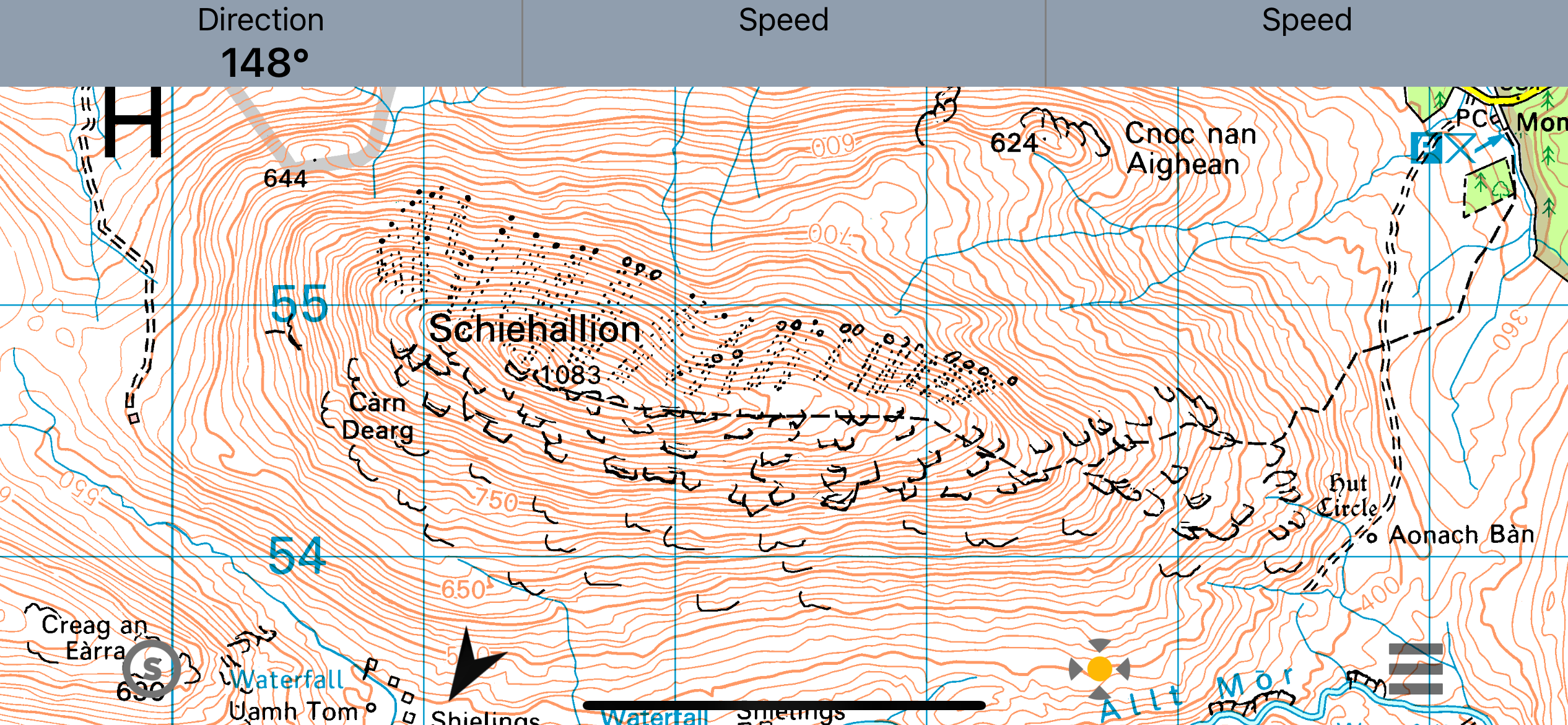
Schiehallion wasn’t a cone, despite how it looks from a distance. It’s more of an overturned boat with a pointed keel (as a modern journalist has described it). Importantly, it has relatively symmetrical sides. A topographic map on my phone shows its shape. Note the consistent distance between contour lines, which measure elevation.
Bothies—small stone buildings—were built on two sides of the mountain. The scientists used the most analogue of analogue instruments—brass quadrant, zenith sector, regulator (a precision pendulum clock), theodolite, surveyor’s chains, and barometers.
The task was to see whether a plumb line, which we normally think of as hanging straight in gravity, would deviate from its usual drop when measurements occurred next to the mountain. To test the hypothesis that it would deviate, one needed a standard angle of drop for comparison.
This is where my understanding of the physics breaks down. Somehow, astronomical observations provided this “gold standard” index of gravity’s effect.
The measurements were taken in summer, at night (so stars could be observed), in overcast and rain (when observations couldn’t be made), in midge season with no headnets or bug dope, and probably while wearing ties and recording the data by candle light.
Maskelyne collected his data, which included “76 measurements on 34 stars in one direction and 93 observations on 39 stars in another direction. From the north side, he then conducted a set of 68 observations on 32 stars and a set of 100 on 37 stars,” according to Wikipedia.
These measurements were only useful if one knew the mass of the mountain, which required an estimate of its volume. This task was turned over to Charles Hutton, a mathematician and surveyor at the British military college.
He’s a bit of an Abraham Lincoln story in that he had only secondary school education (Lincoln, I believe, had only three years of education) and was thereafter self-taught and tutored. He escaped going into the coal mines, where his father (who died when he was five) had worked, because a dislocated elbow incurred at age seven was never reduced and left him permanently crippled.
Hutton’s job was to determine the volume, and therefor the mass, of the mountain, which in turn was necessary for determining its gravitational effect. This, of course, was difficult, as all science is. He did it by creating rings around the mountain based on elevation. These required contour lines allowed him to calculate the area between the lines, and ultimately the surface area of the mountain.
While lines of some constant variable (depth of water, altitude) had been used in cartography occasionally before, Hutton’s use of elevation above sea level in the Schiehallion experiment became standard in government maps, such as the Ordnance Survey. From there, it spread to other “official” maps, such as that of United States government (and today the USGS’s topographic maps).
So how did it turn out?
Maskelyne’s measurement was that Schiehallion deflected the plumb bob 11.6 arc seconds off vertical. An arc second is 1/3600 of a degree. That’s a tiny deviation but, they concluded, a real one. Maskelyne, Hutton, and their team determined that Schiehallion exerted a gravitational force;
From that, they estimated the mass of the Earth (at a value that was within 20 percent error of the modern calculated one). They concluded that the density of the Earth as a whole was greatert than that of its rocky surface. They rejected the (ridiculous) idea the Earth was hollow. The deduced the Earth must have a deep component that was more dense than rock (believed by modern geochemists to be of molten iron). They made estimates of the mass of the known planets.
Years later, their measurements were used to calculate Newton’s gravitational constant, one of the half-dozen most important numbers in the knowledge of our world.
It’s a pretty good payoff for a summer of midge bites.
Recent Comments