The Great Outdoors Challenge is all about the route. The route is determined by answers to four questions.
How high do you want to go? How much civilization (villages, stores, phone signal) do you want to encounter? How much company do you want to keep? What sort of surface do you want underfoot?
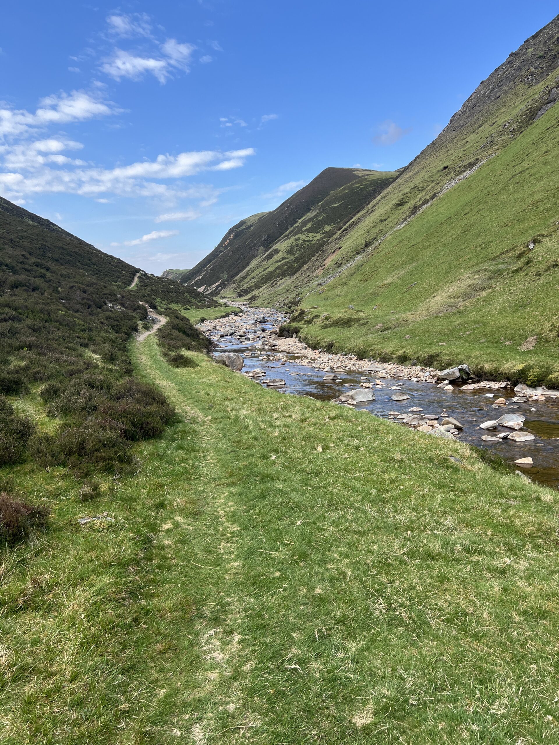
Although there’s no single cross-country path, there are networks of them between localities and regions, hillwalking being the national pastime. Some are built on “drove roads” down which cattle were taken long distances to market.

Others have more ancient origins, laid down by villagers, hunters, and deer employing the wisdom of crowds. You can be pretty sure that a well-worn path is the easiest and safest way to get from Point A to Point B.
Time and farm vehicles have turned many footpaths into two-wheel tracks and maintained gravel roads.
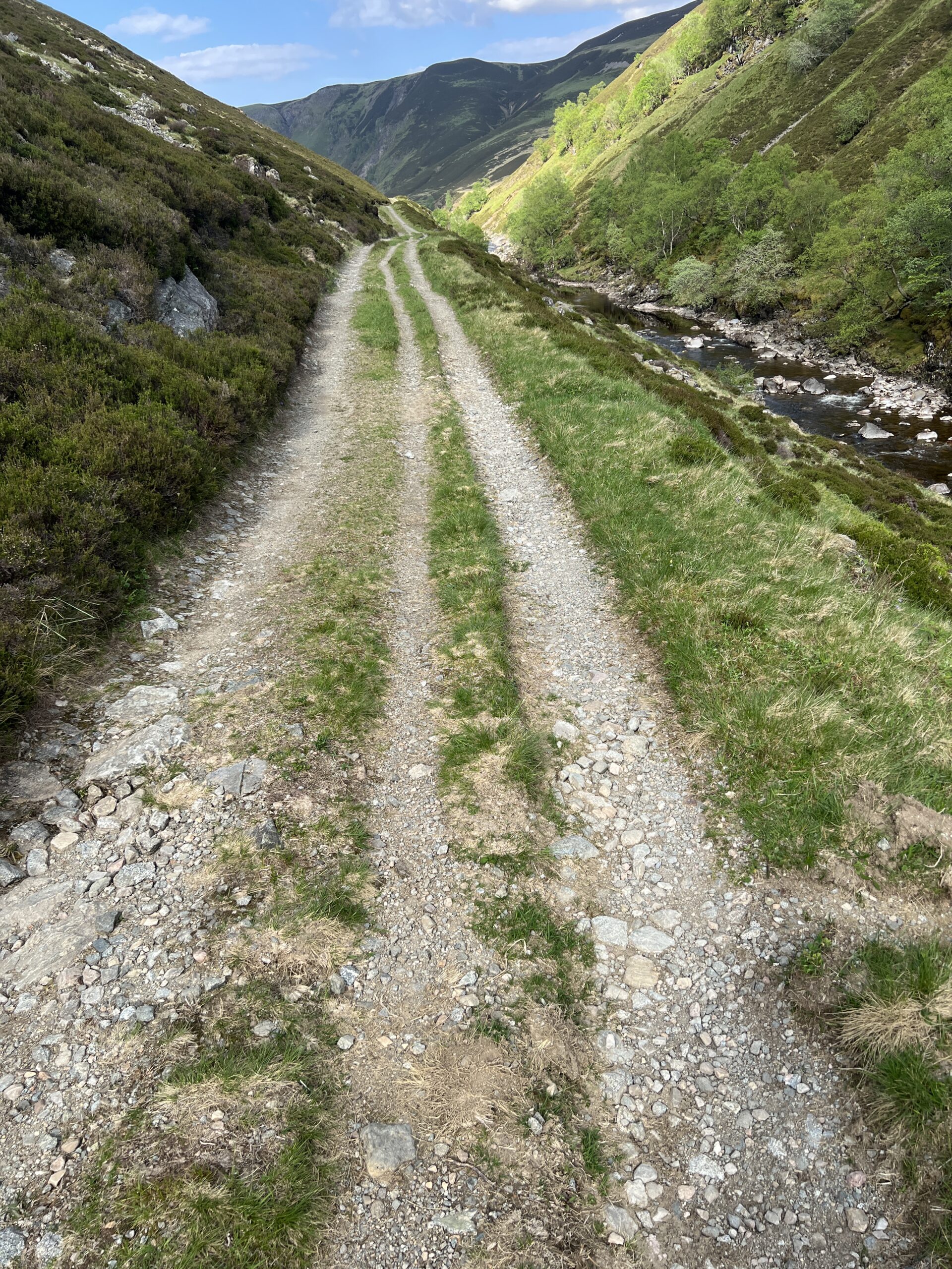
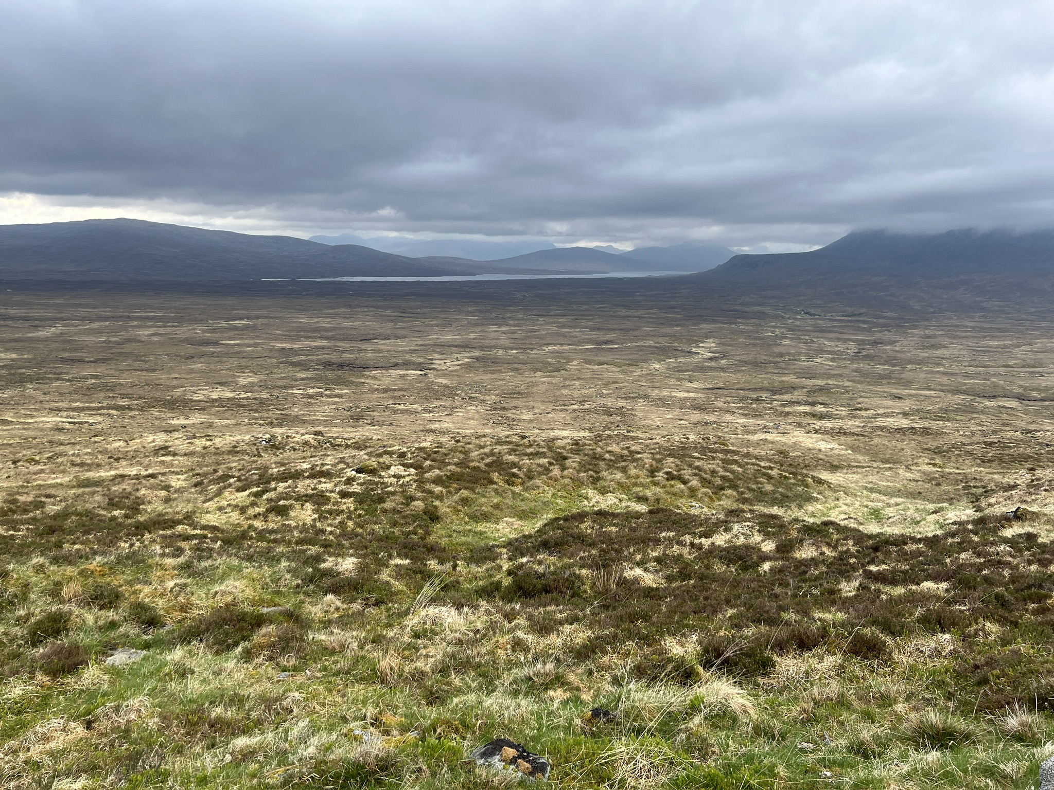
Because much of the Highlands is unforested and undulating, it’s often possible to see a path (or bits of it) far ahead. This can be a mixed blessing if your feet are sore and the pack is heavy.
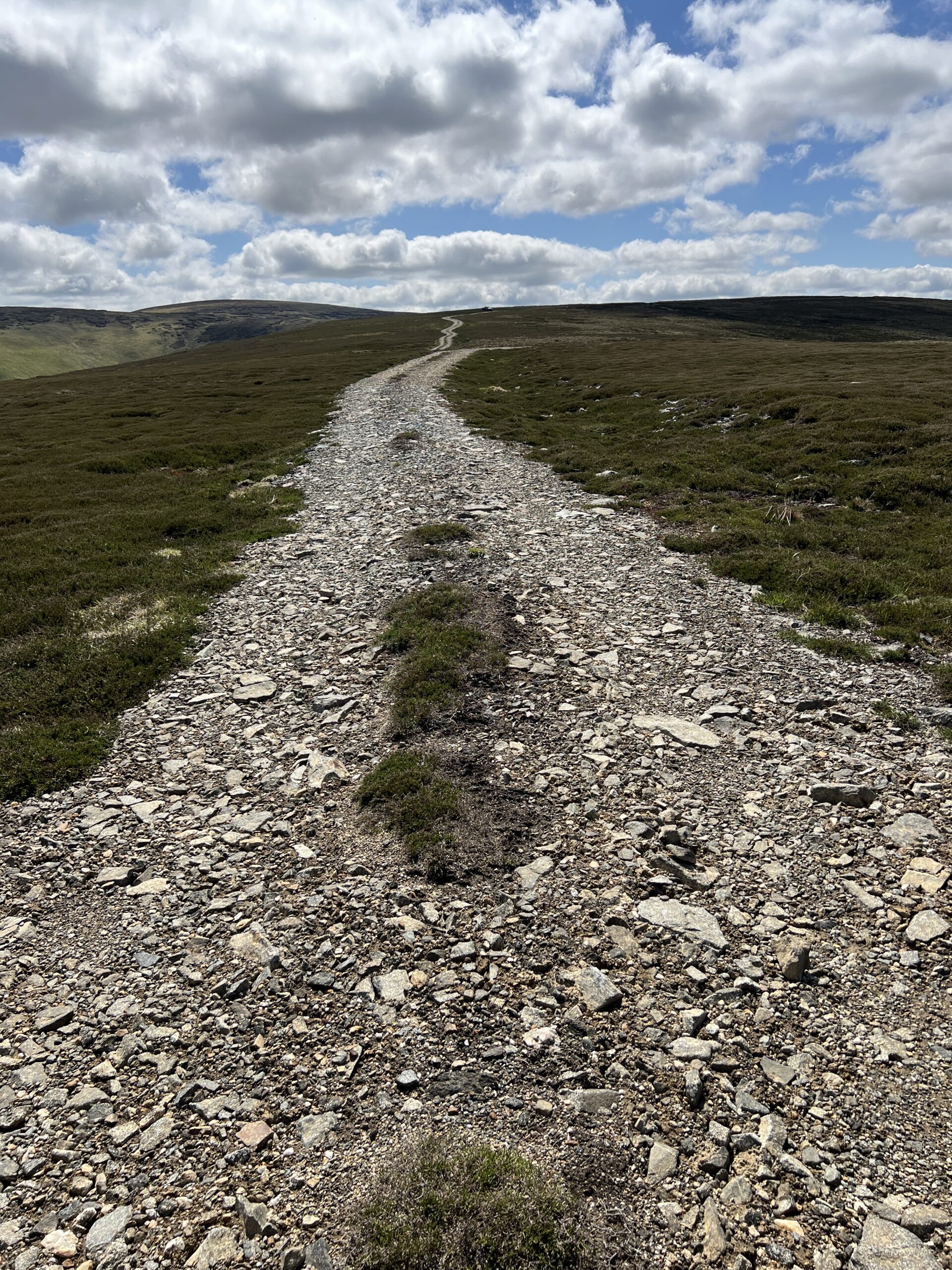
Sometimes, however, the path ahead can be deceiving. Here, it looks like the top is in the distance.
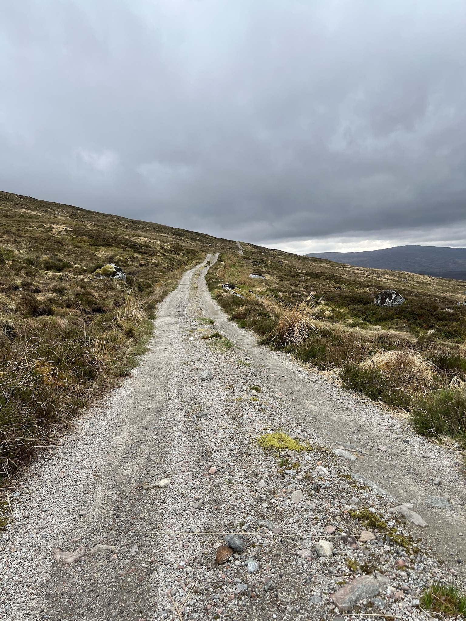
But when you get there there’s more climbing to come.
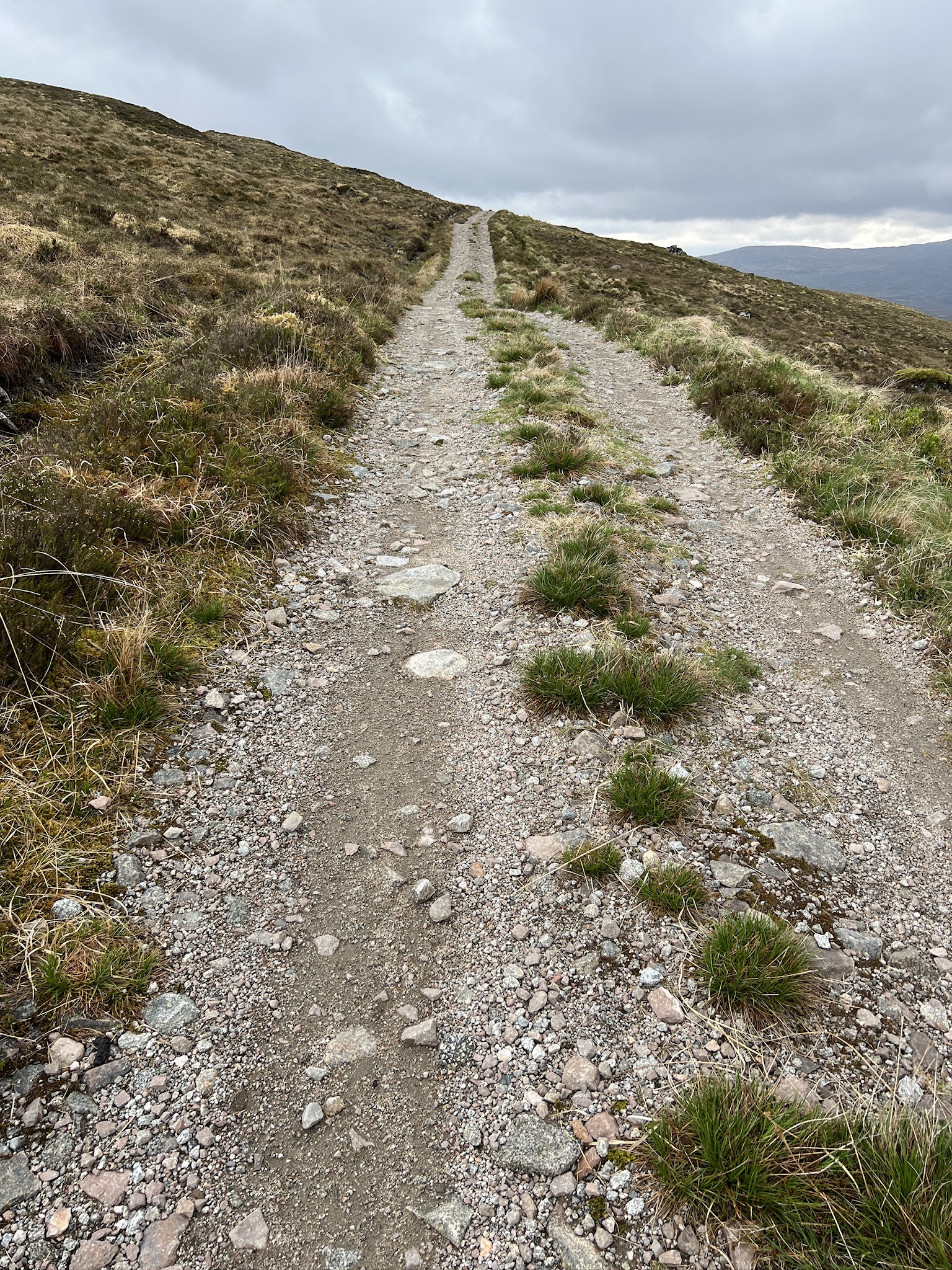
And when you get to that crest there’s even more.
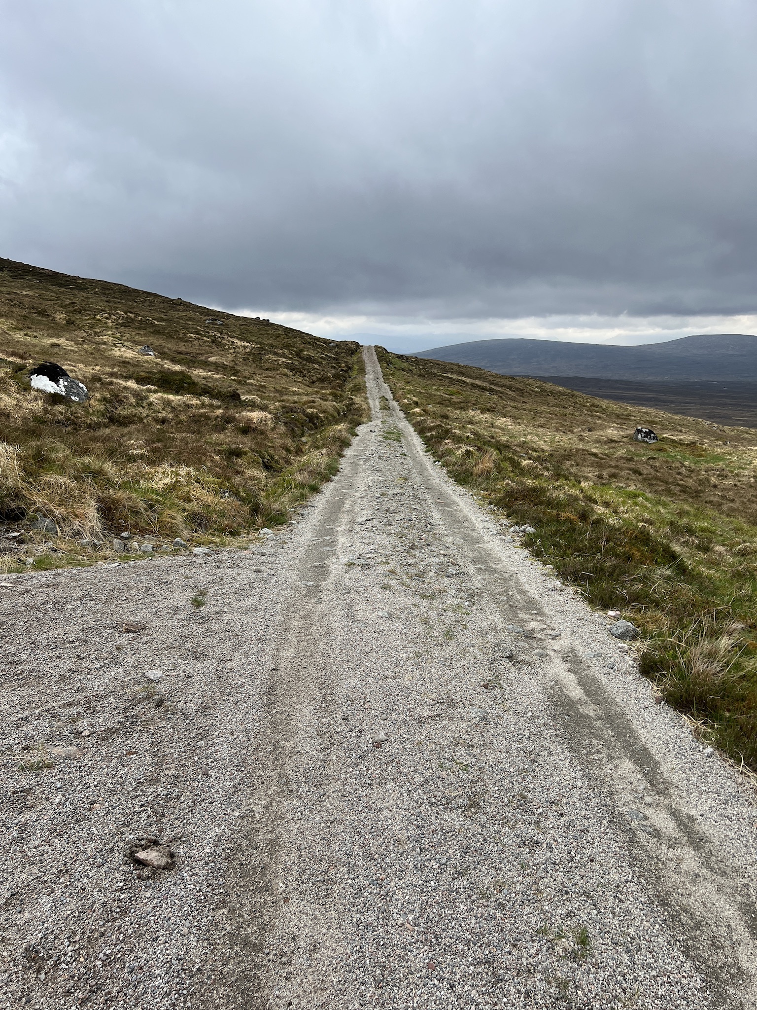
Eventually, however, you get to the top.
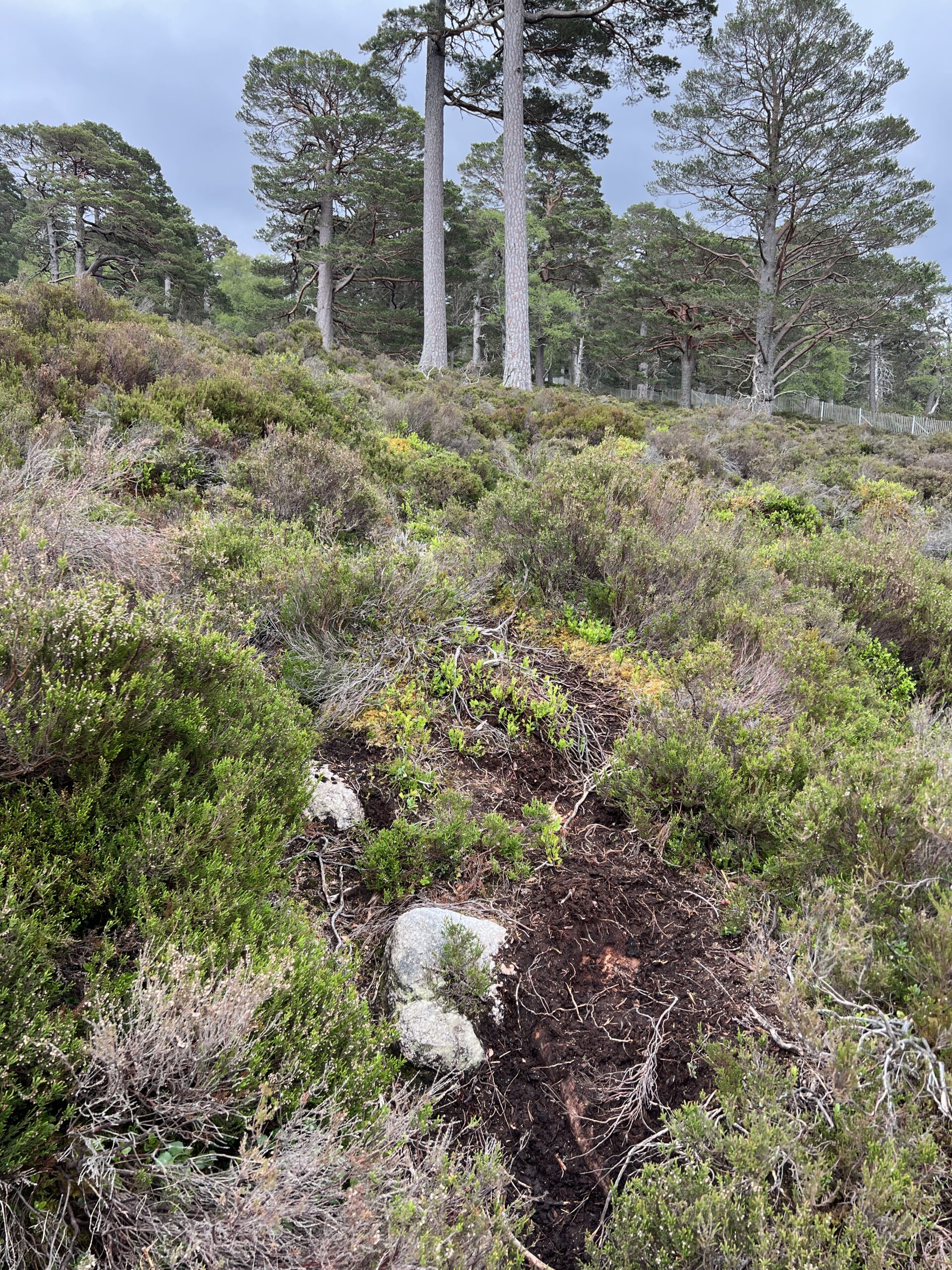
It’s surprisingly easy to lose a path, at least for me. On one of the early days I was walking in a state of insufficient situational awareness on what seemed to be a path.

When I got to the place near the tree, where I expected the path to go on, this is what I saw.

No path, and a slide down into the rocky river if I slipped freelancing along the fall line. While I did have a find-my-body beacon on me, I didn’t want to use it, so I got onto my hands and knees and crawled up the slope. This is the view looking back once I got to a flattish area.

I worked my way farther away from the river and found the real path.

In the woods it’s easy to lose a path if the route isn’t a commonly used one and well tramped-down. This where having a map on your phone with a dot showing your location by GPS comes in handy.
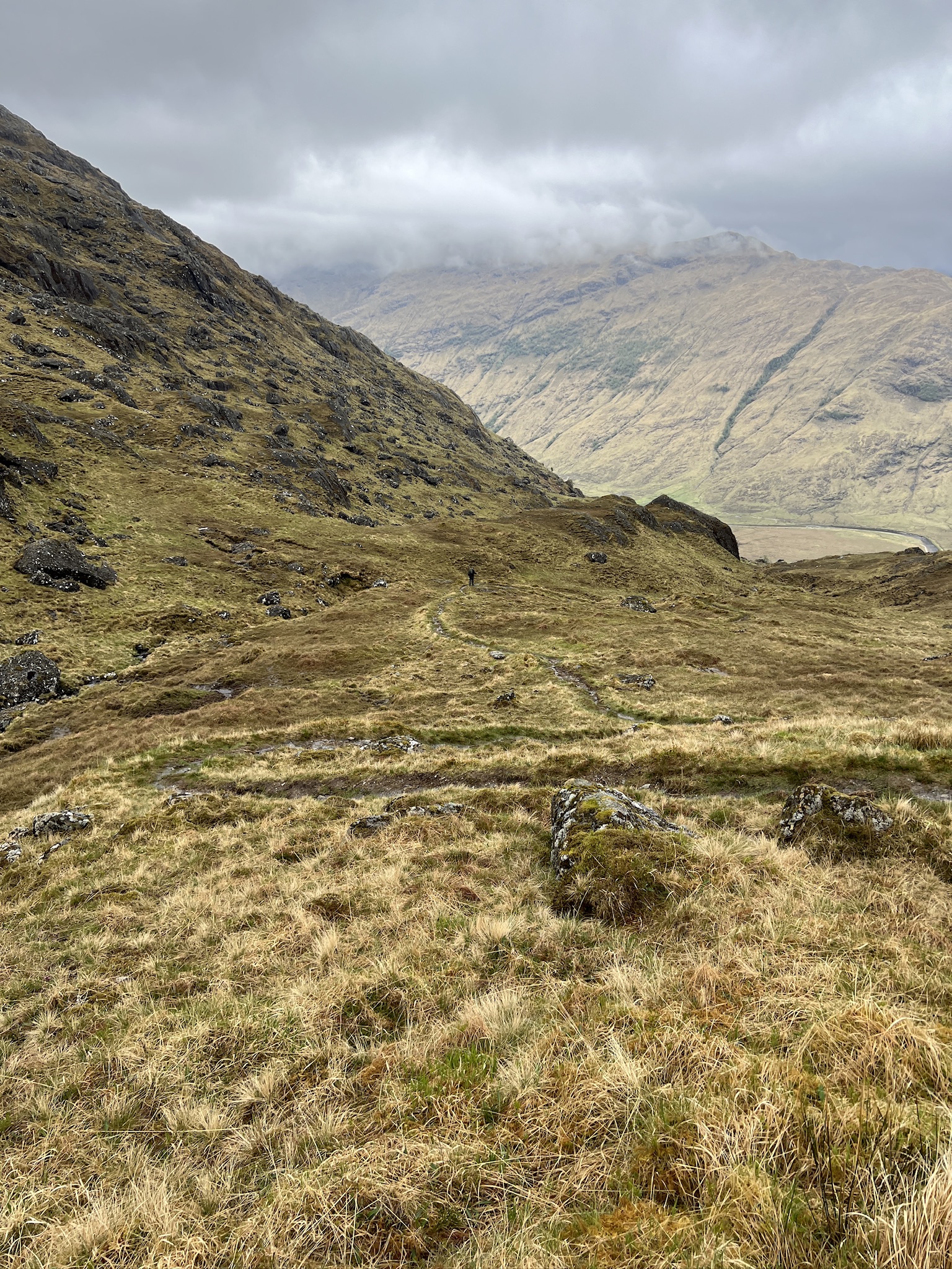
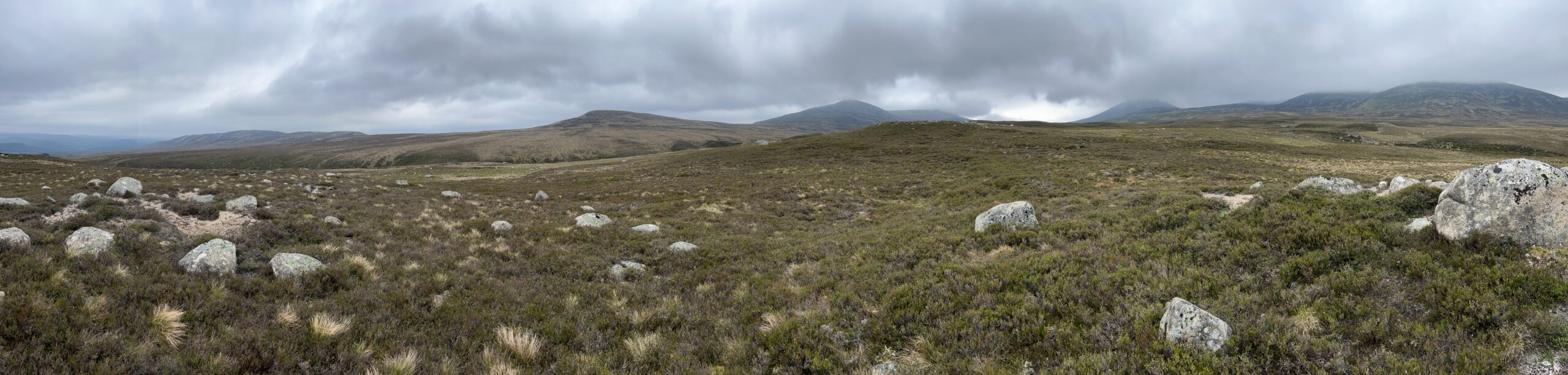
And then there’s trackless walking, which some Challengers seek to get themselves to even more isolated places or just make things more difficult. I did a little trackless walking on this crossing, one piece unplanned.
I took the wrong path out of Gelder Burn bothy on the way to Glas allt Shiel. When I realized the mistake, instead of backtracking I cut across the moor to the right path. I had GPS to guide me, but even without it I knew I’d hit the right track soon enough. This a panoramic from halfway across.
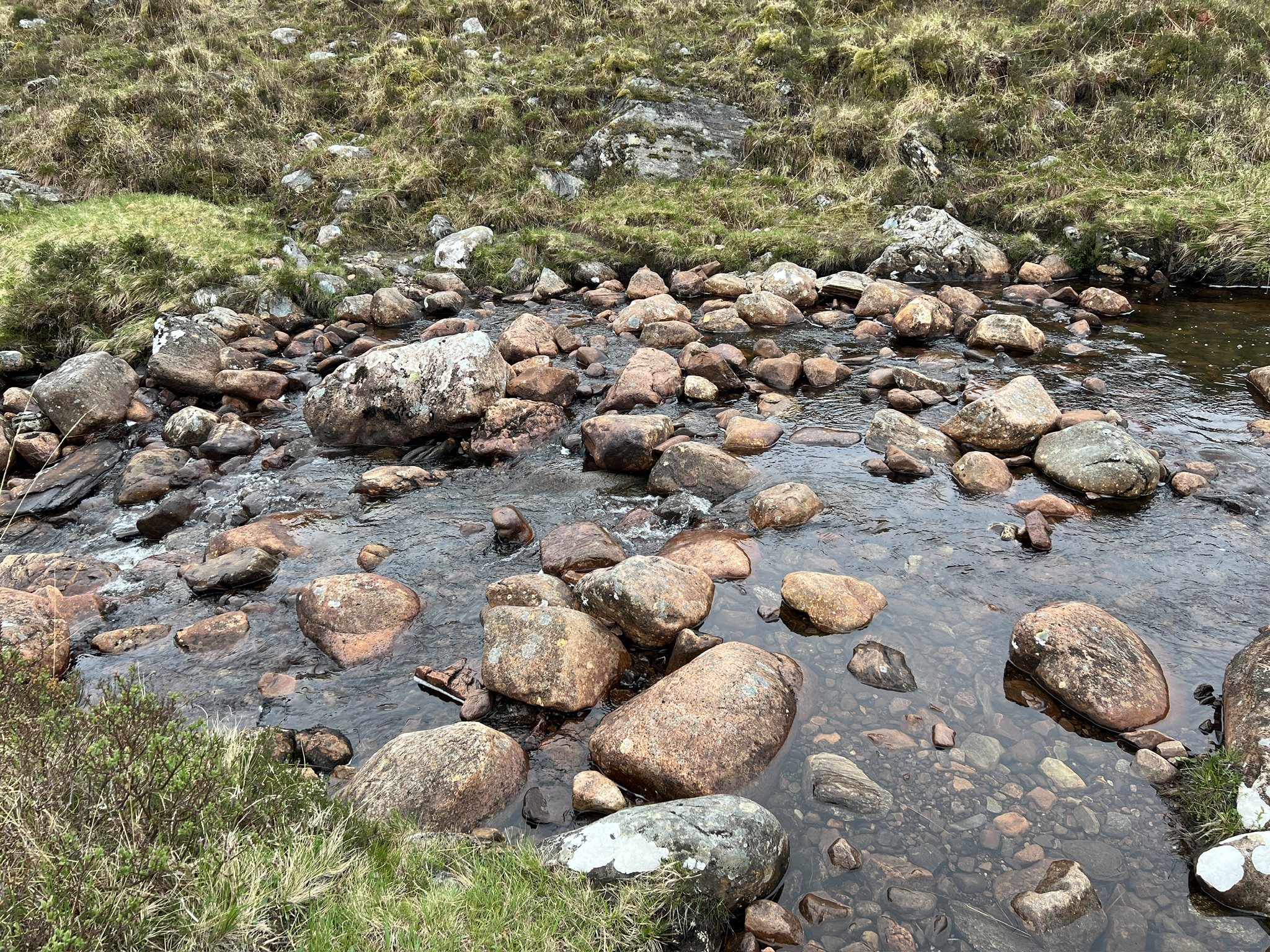
Paths are often stony and wet, but because there was little rain on this Challenge the latter problem was less prevalent than in the past. Trekking poles are essential.

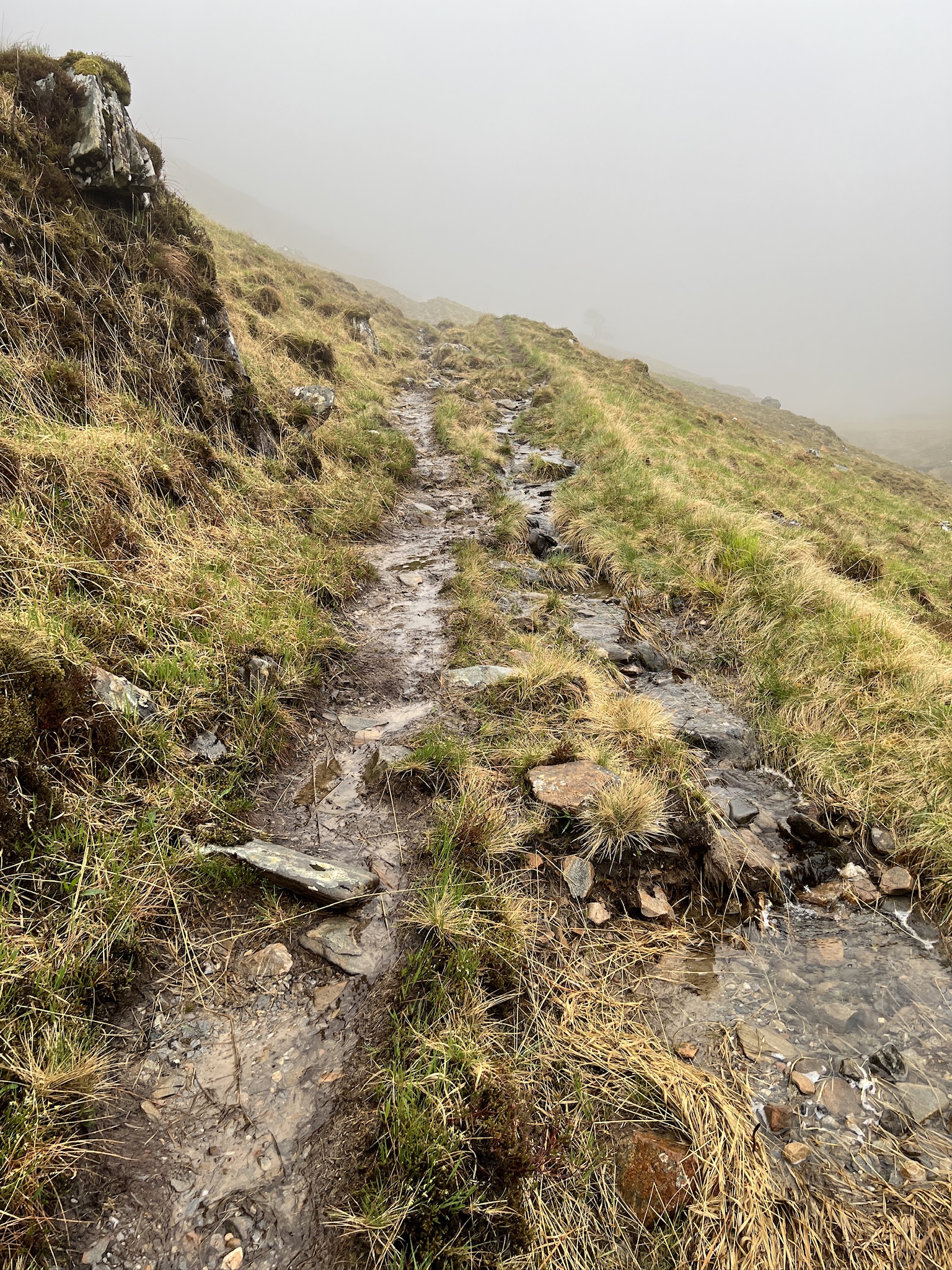
Even when it hasn’t been raining, hillsides can be wet and boggy with sphagnum moss. This makes for hard walking.

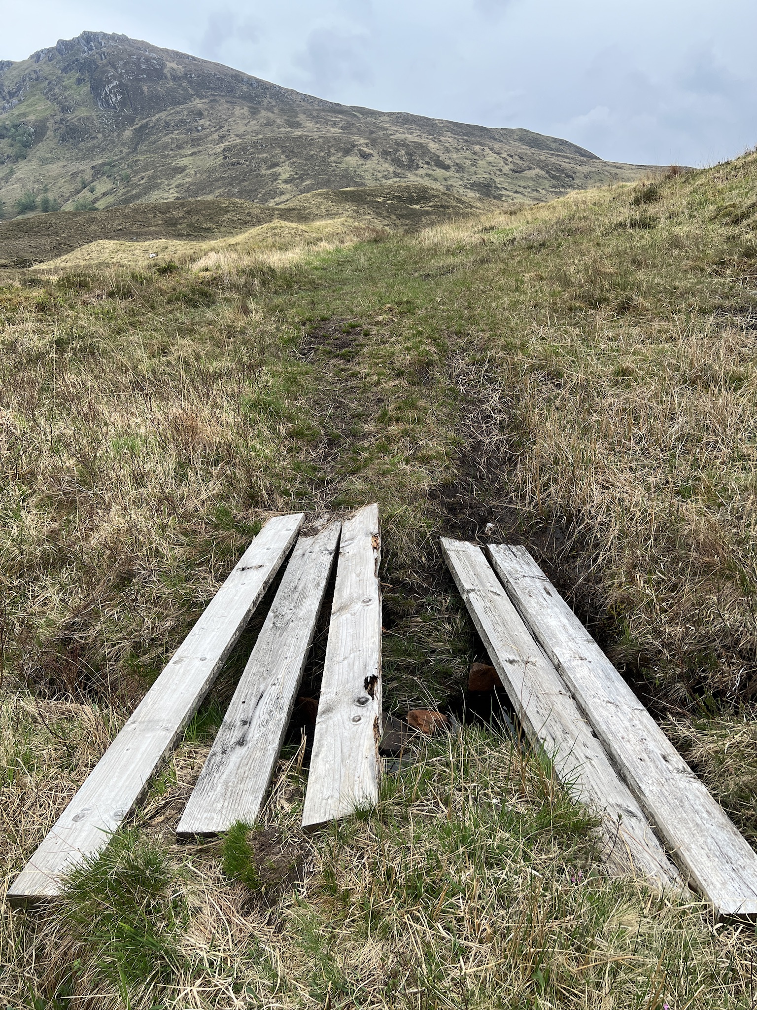
You get help along the way—bridges, board ramps, stones placed to make crossing rivulets easier, and channels cut across the path to prevent it from washing out.


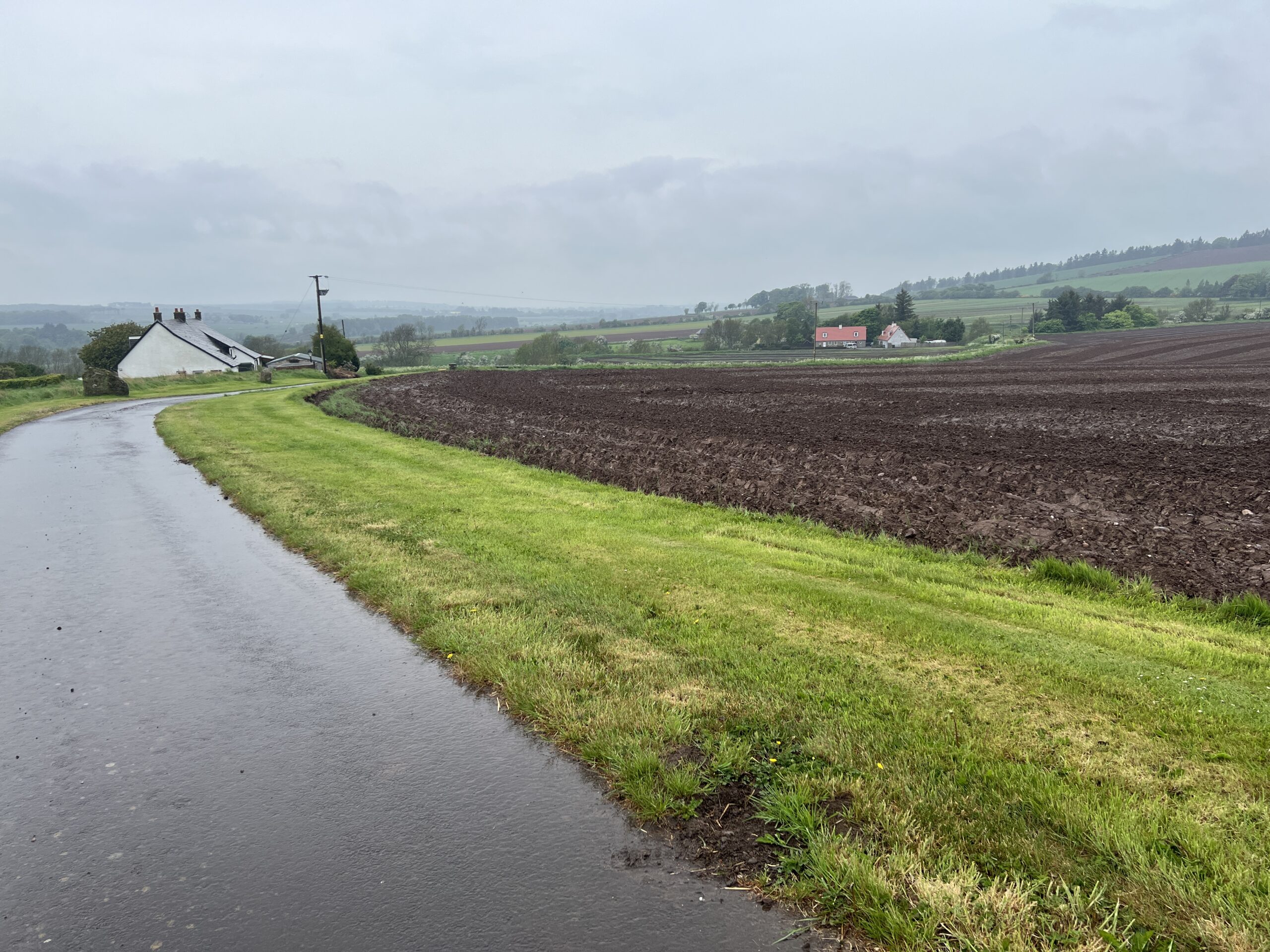
Eventually, however, the paths dwindle and asphalt road becomes the dominant surface. This is a sign you’re nearing the east coast.
The Challenge’s vetters now ask walkers to send GPX files of their proposed routes in addition the traditional written descriptions. (The routes have to be approved in advance, and the vetters’ advice is invaluable.)
From this year’s data, the coordinators created an extraordinary image—all of the routes displayed on a map of the Challenge territory (with much of the rest of Scotland barely discernible around it).
It’s a picture of the individuality, and the unity, of this event.

My route is in there someplace.
This post gives a wonderful feel for what it’s like “on the ground”. Wonderful photos too. Good luck to the finish line and safe travels home. xoxo
Love the photos of the paths, and how they are folded into that fabulous map.