A blog about a hike across Scotland (and possibly other things)

Author: davidbrown (Page 12 of 16)

I am a writer living in Baltimore. I worked as a reporter at The Washington Post from 1991 to 2013, writing mostly about medicine, public health, epidemiology and the life sciences, and occasionally about history and art. I am also a physician, a graduate of Amherst College, and a native of Framingham, Massachusetts.

The start

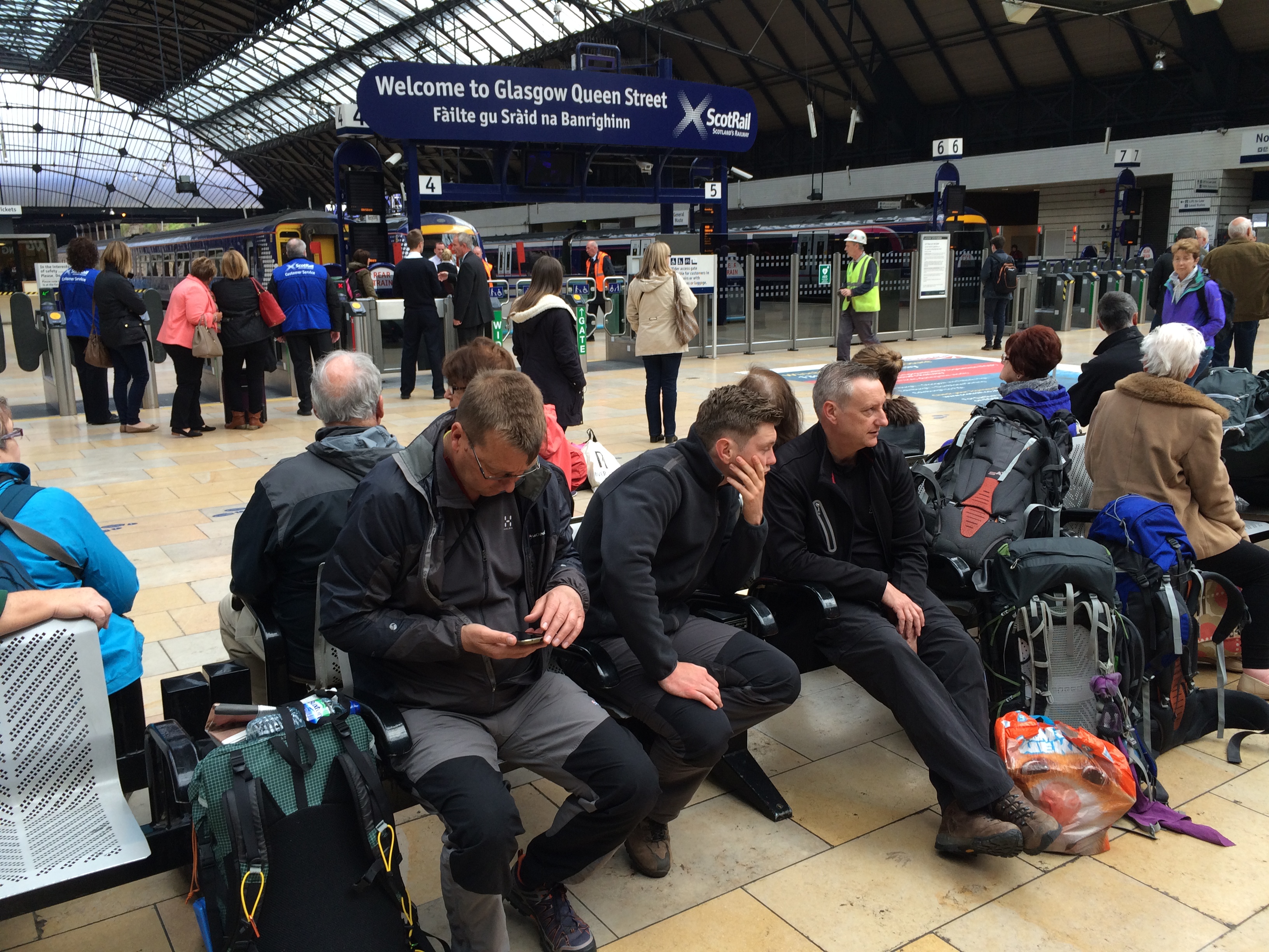
At Queen Street Station in Glasgow you can identify fellow Challengers.  They’re the ones wearing no cotton waiting for northbound trains with brick-dense backpacks at their feet, the smaller the better.  Size matters in this business.

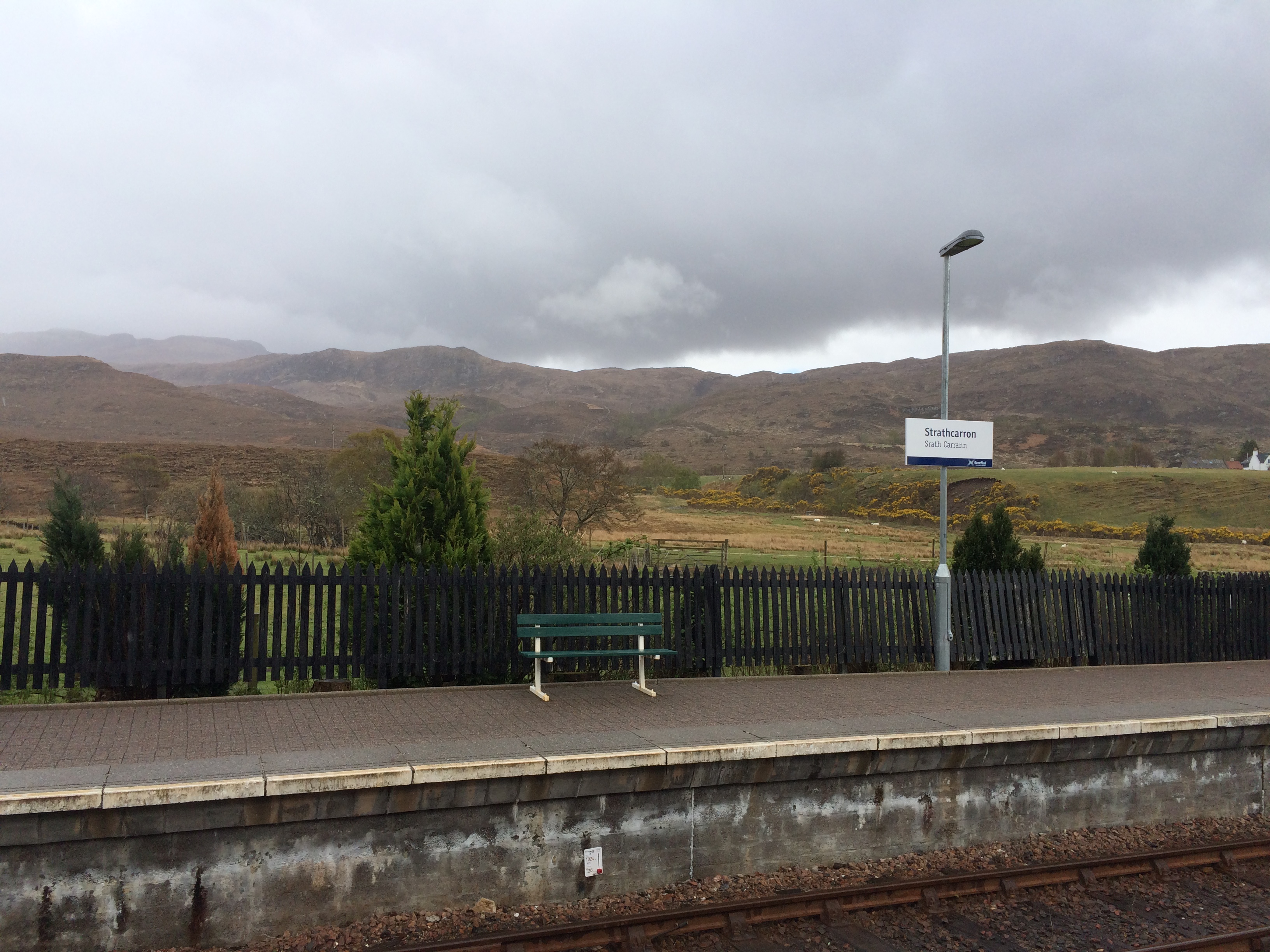
I took the train to Inverness, then changed for Strathcarron, a rail stop where you can’t even buy a ticket and where a post office truck comes by twice a week to sell stamps and pick up packages.

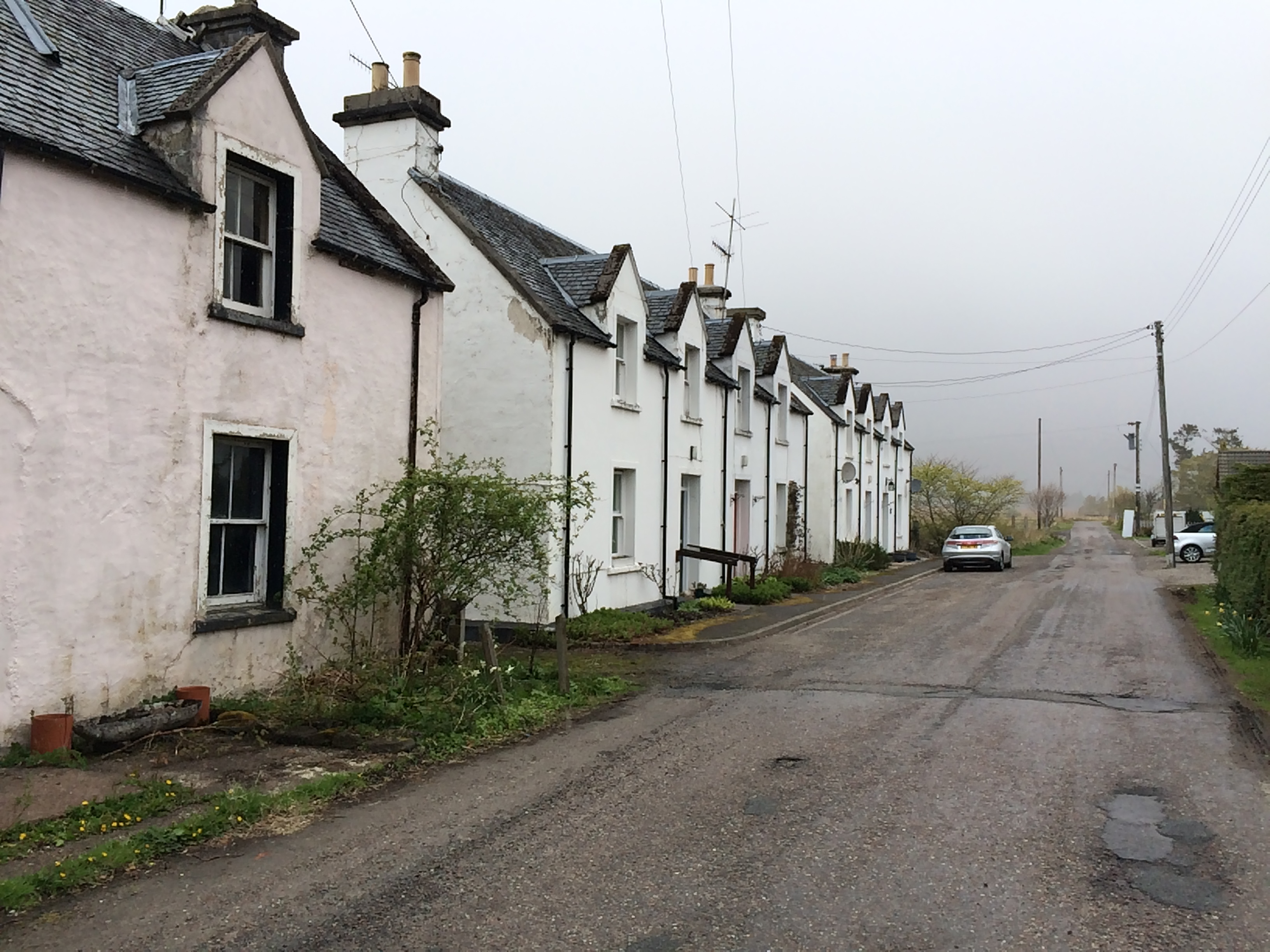
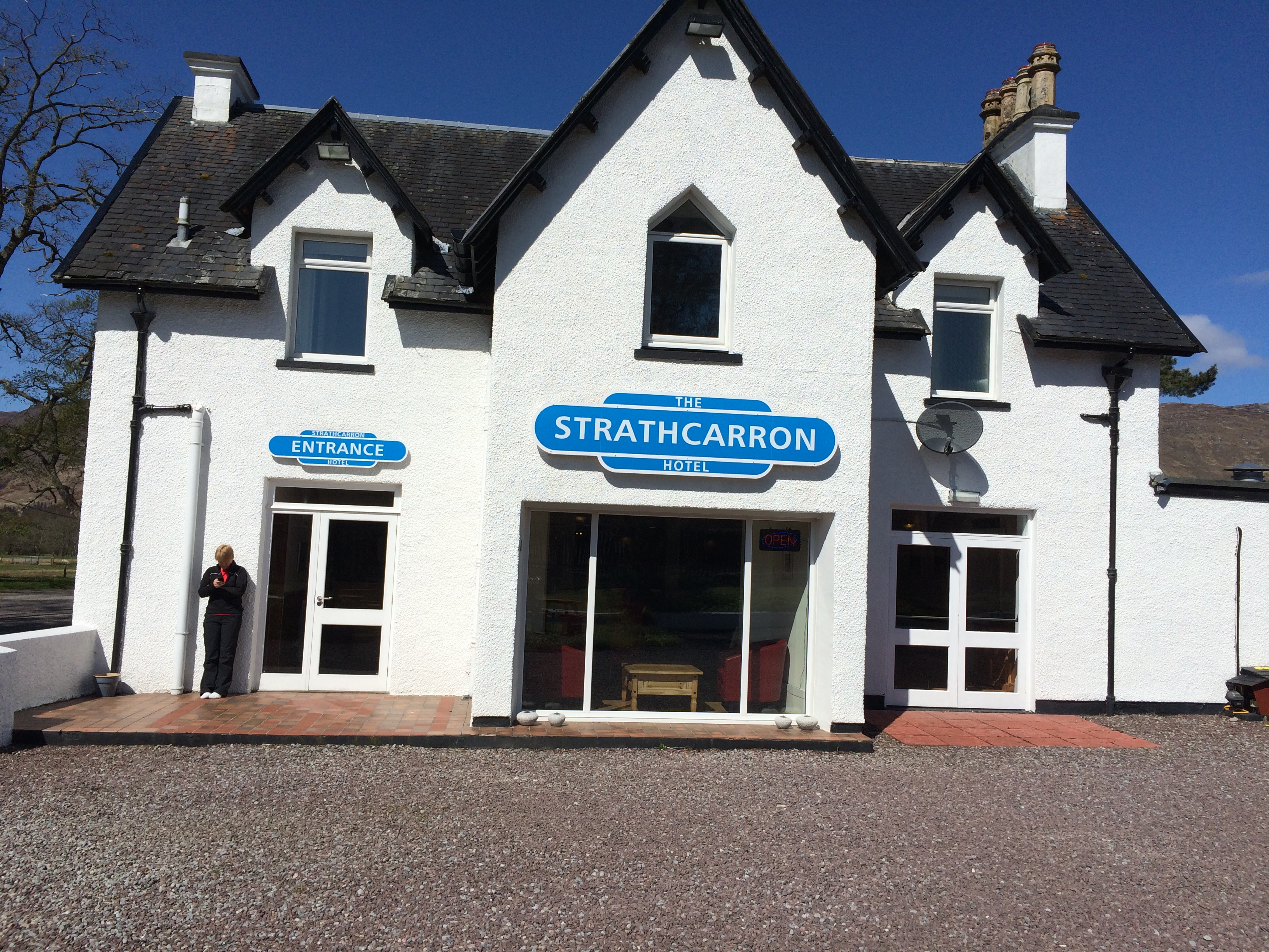
There is a village nearby, but I didn’t have to go there because there is a hotel next to the railroad tracks.  Next to it is a single street with blocks of houses, some of them empty.

It was drizzly and cool.  But this morning, the starting day, it’s sunny.  But not likely to stay that way for long.

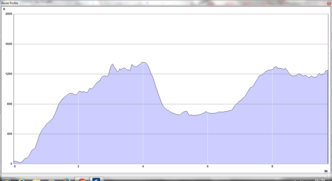
Here is the route profile of the first day of the hike.

Day 1 profile

Day 1

I have an hour to do the final cull and have a small package of rejected items ready for the mail person when he or she shows up at 11. I’ll collect it in Montrose, the terminus, in two weeks, God willing.

Then it’s time (as they say) to crack on.


The Hunterian

You know you’ve arrived, for good or ill, when your last name is turned into a  noun (quisling) or modified to create one (spoonerism).  Something like that happened to two Scots brothers, William and John Hunter.

William (1718-1783) and John (1728-1793) were both physicians and anatomists.  William was London’s leading obstetrician at a time when few babies were delivered by men.  He also wrote a famous treatise on diseases of cartilage.  John collaborated with Edward Jenner, the inventor of the smallpox vaccine, and advocated the conservative treatment of gunshot wounds.  Each had anatomical collections with thousands of human and animal specimens.  John once bribed the member of a funeral party to give him the skeleton of a 7-foot, 7-inch “giant,” and fill the coffin with rocks.

There is a Hunterian Museum in London and a Hunterian Laboratory in Baltimore (at Johns Hopkins) named after John, and a Hunterian Museum and Gallery in Glasgow named after William.  I took the bus out to the University of Glasgow to visit the latter.


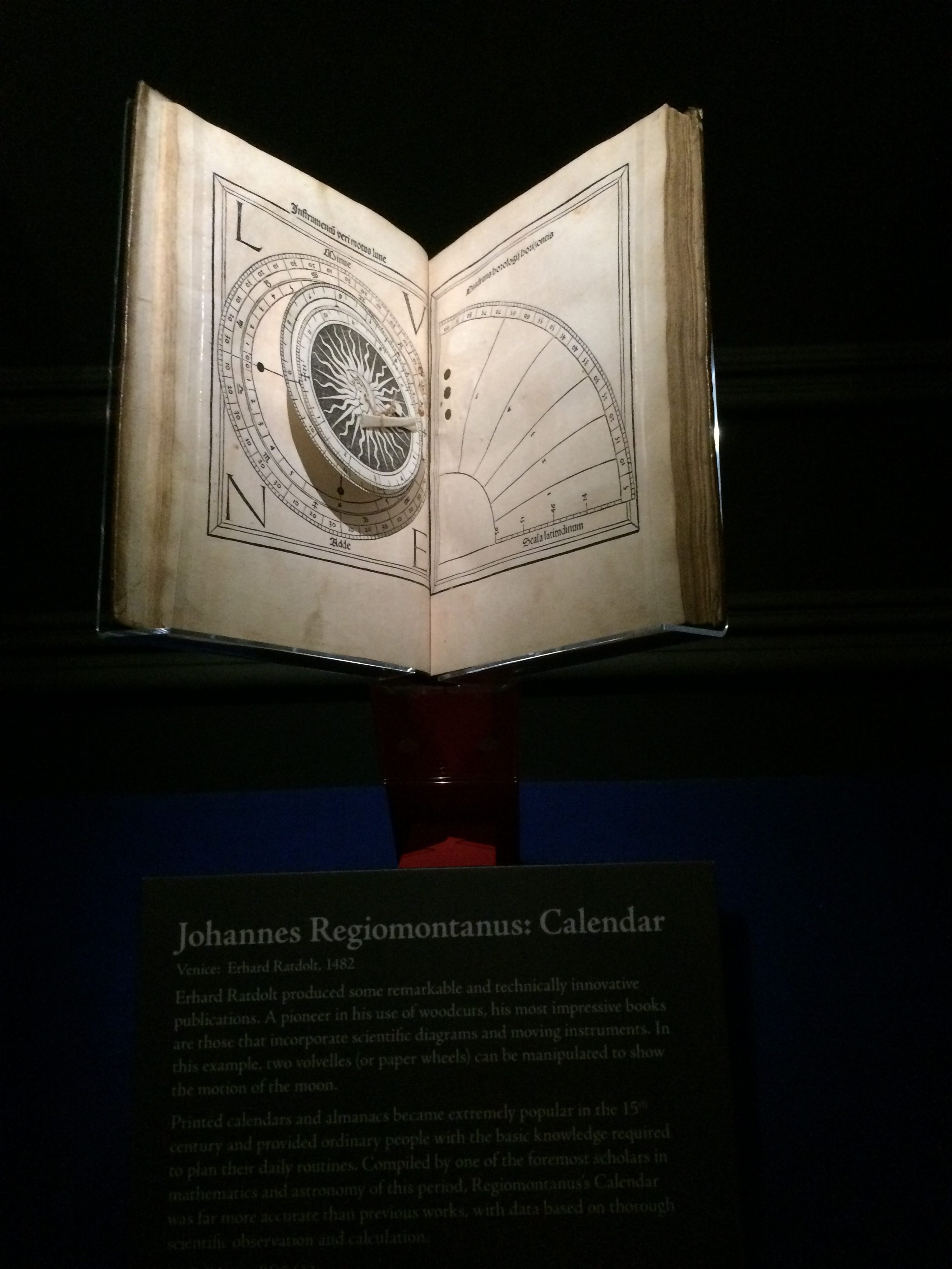
William was a bibliophile, too.  The gallery had a show of books printed before 1501 (known collectively as “incunabula”) built around several dozen he acquired.  The university owns a number of volumes in which only a single copy is known to exist.   On display was a book that had revolving paper disks (“volvelles”)  illustrating astronomical phenomena.

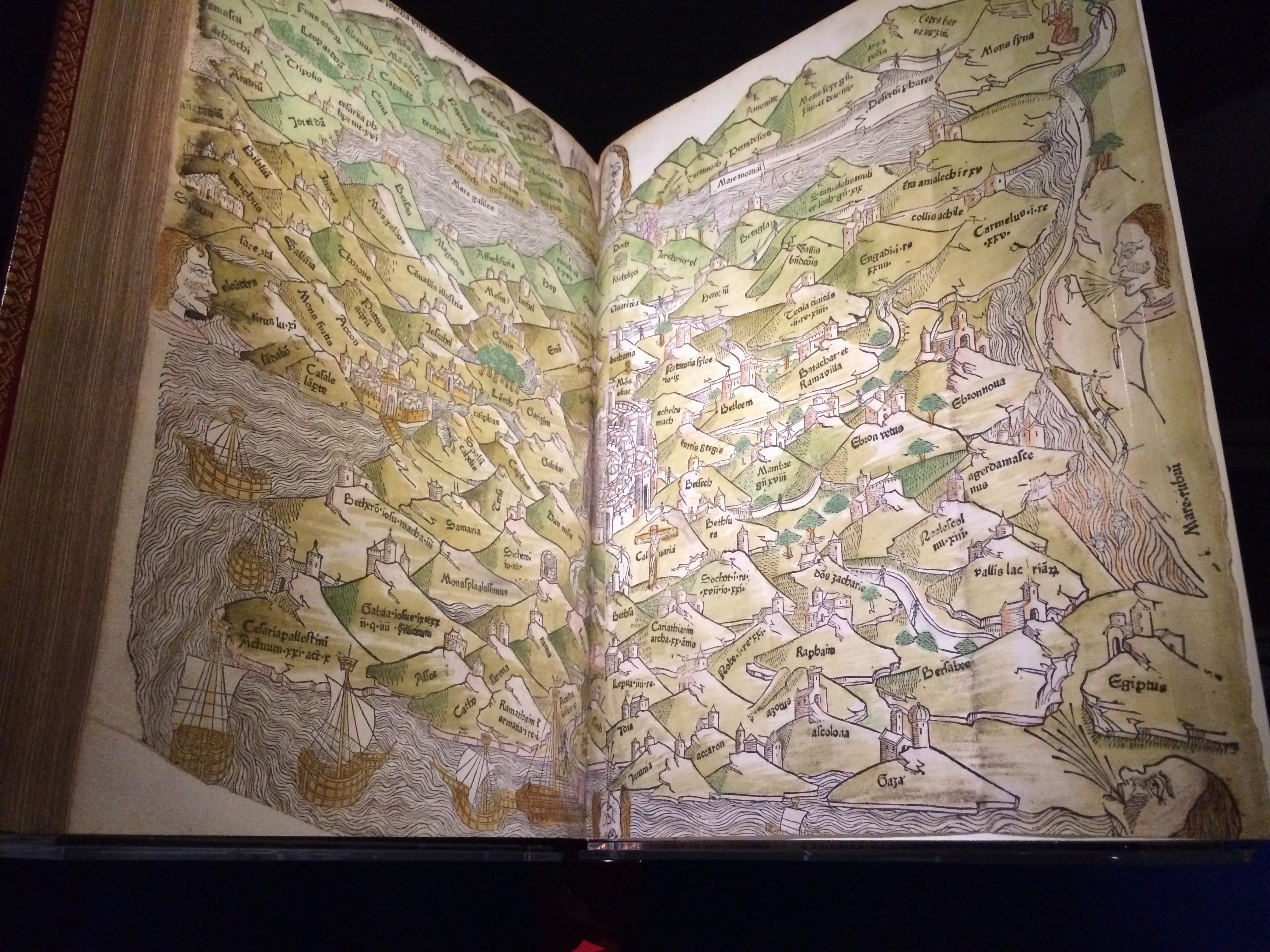
There was one with a colored map of the Holy Land in the endpapers.

I and 30 elderly women listened to a gallery talk about one of the first editions of “The Canterbury Tales,” sitting on stools in the dark around the dramatically lit book.

I then went across the road, under an arch, through a cloister and up two flights of stairs to the part of the Hunterian where historical and natural objects are displayed,

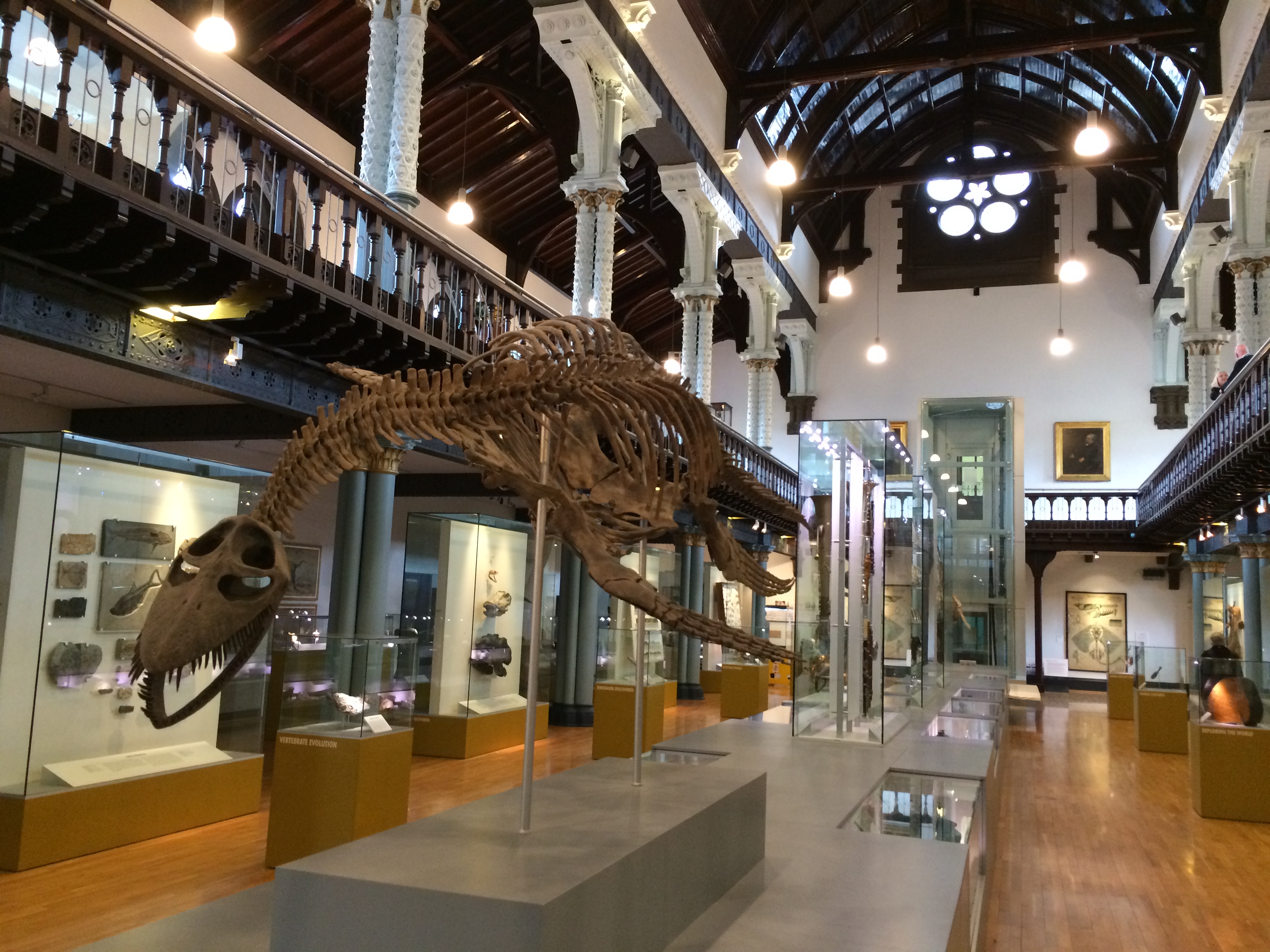
There was a hall reminiscent of so many in natural history museums.  This one featured a plesiosaur.

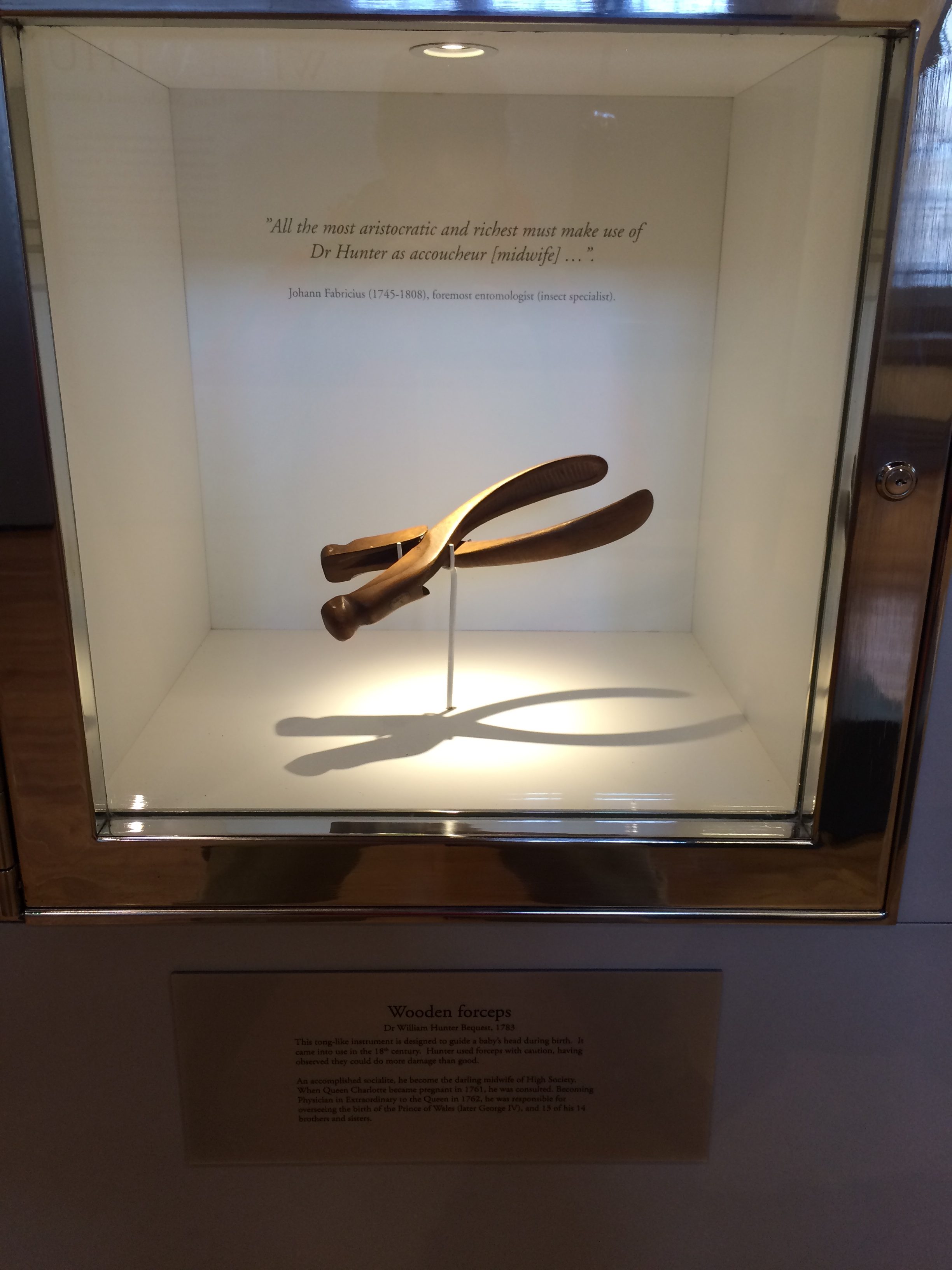
Hunter’s wooden obstetrical forceps (an instrument he apparently thought was overused) was on display.

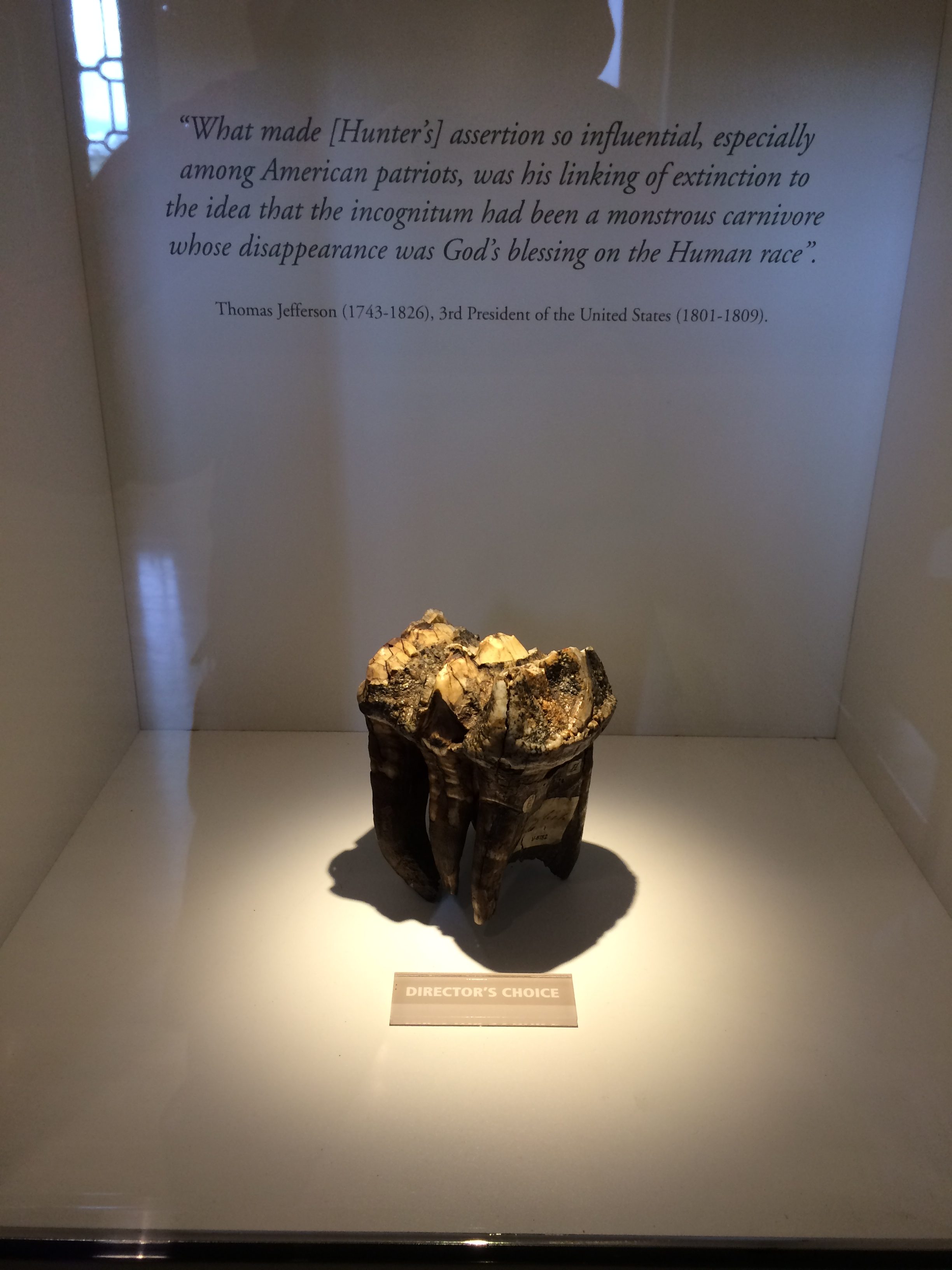
As was a mastodon tooth he collected.  The quotation behind it is from Thomas Jefferson, another polymath.

As with the books, these objects were beautifully bracketed and illuminated, an art in itself.

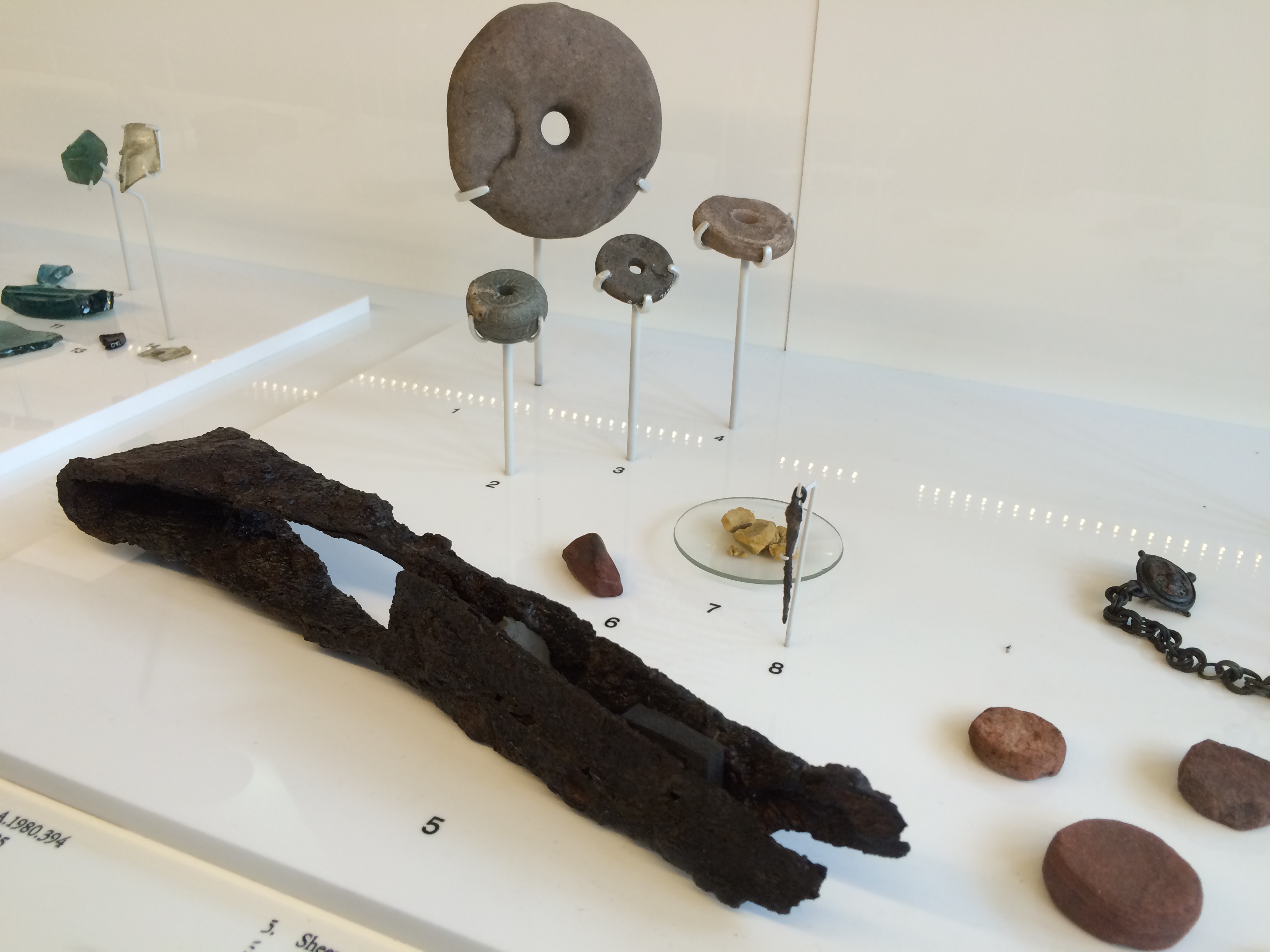
Nearby was a case containing relics from a dig at the Antonine Wall, a Roman wall built in AD 142 from turf on a stone base.  It’s a northern version of Hadrian’s Wall, spanning 40 miles at the waist of Scotland.  One of the things found was a rusted but still recognizable pair of sheep shears, a foreshadowing of  the future of the Highlands.

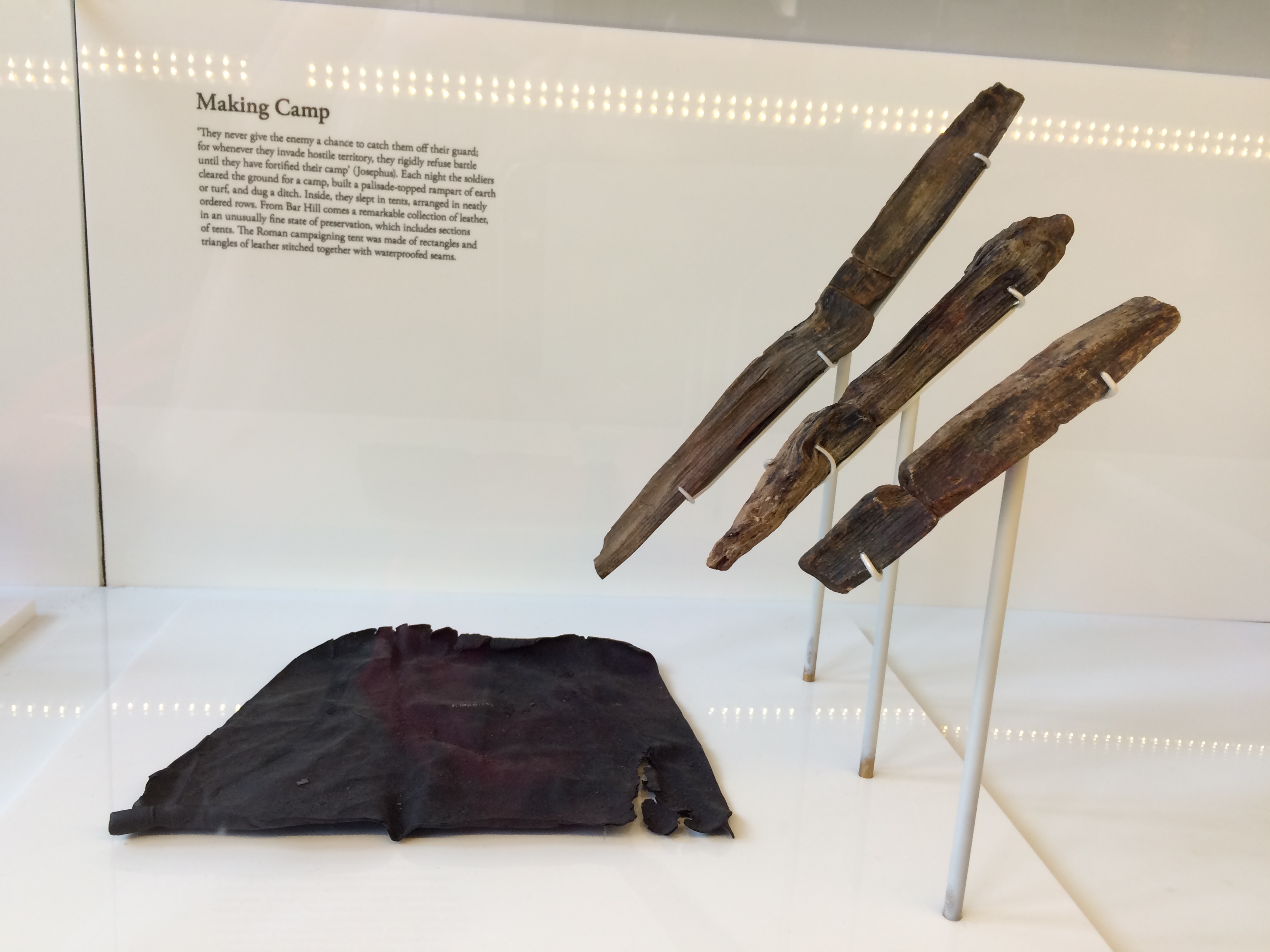
Nearby, unbelievably, was the remnant of a leather tent and tent pegs.

Which reminded me:  It was time to go camping.


Charles Rennie Mackintosh

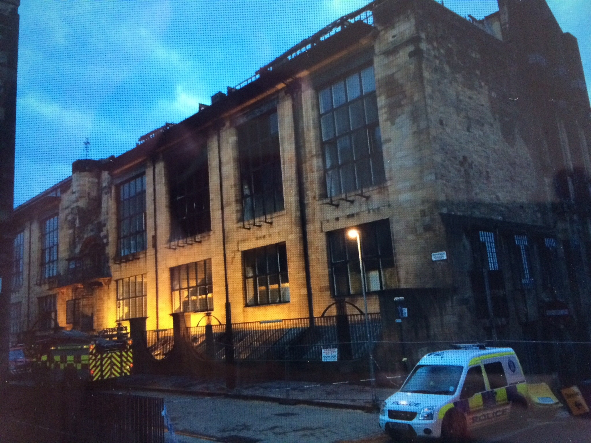
Last year, at the tail end of my walk across Scotland one of the most famous buildings in the world burned one block from the hotel where I’d stayed. When I returned to pick up luggage I’d left, it was still smoking and the architecture world still weeping.

Showpiece and workplace, the Mackintosh Building was the beating heart of the Glasgow School of Art. Completed in two stages, 1899 and 1909, it embodied the best of Charles Rennie Mackintosh, Scotland’s greatest architect.

I was only vaguely aware of Mackintosh when I came to Glasgow last year, certainly not enough to go into the building that I walked by a dozen times in three days. This I regret.

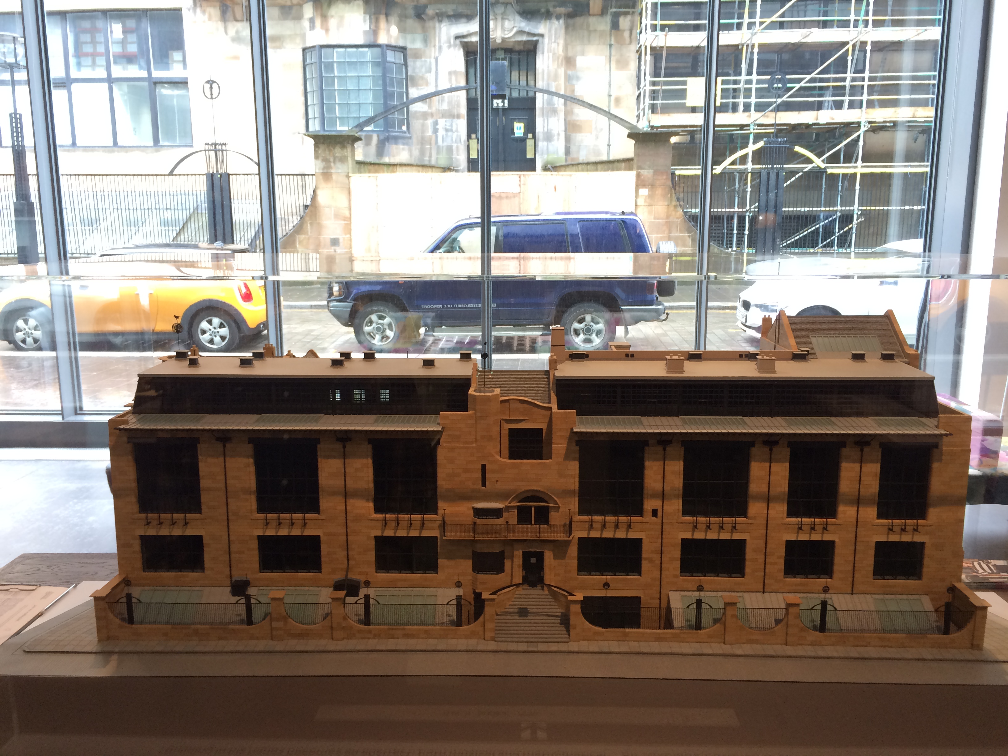
The right half of the building in the model above was burned.  The library, a room with a two-story ceiling full of Mackintosh’s furniture and decorative details, as well as lots of books, drawings and manuscripts, was incinerated. Archaeologists sifted through the ashes for salvageable remains.  The entire building is closed.

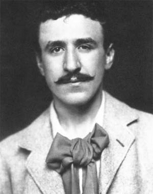
Mackintosh (1868-1928) grew up in Glasgow and attended the Glasgow School of Art. He submitted the design for a long-awaited purpose-built home for the school when he was in his twenties and not yet a partner of the firm where he worked. It was not fully attributed to him to years.

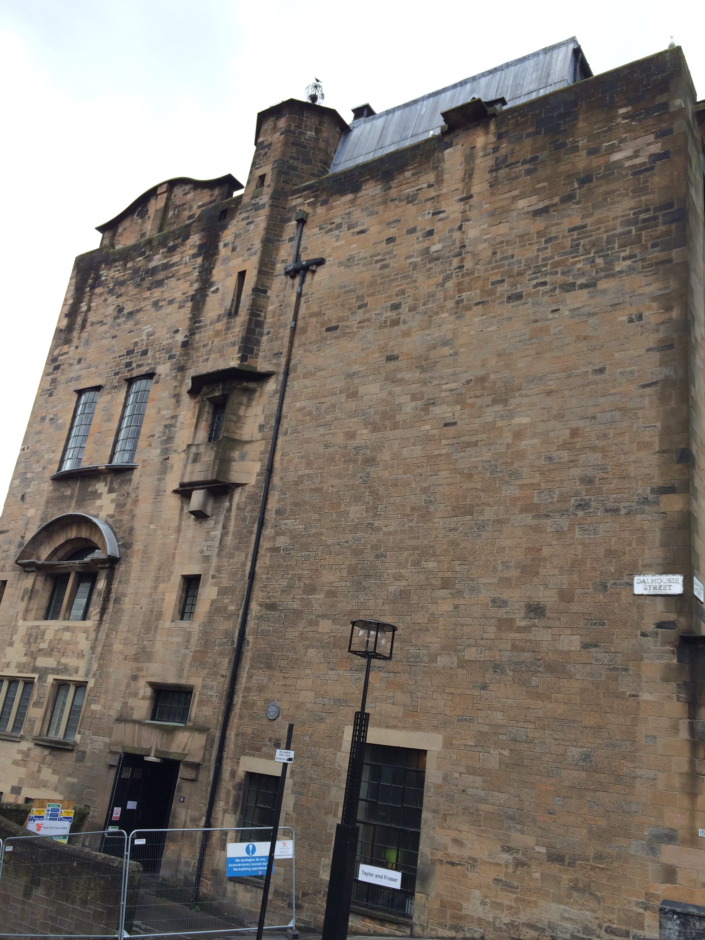
The design incorporated several references and styles. On a steep slope, it had a tower and slit windows (and an expanse of solid wall on one end) that echoed Scottish castle architecture.  At the same time, it , incorporated huge windows on the northern side to illuminate studios–a great improvement over the school’s rented space for its students.

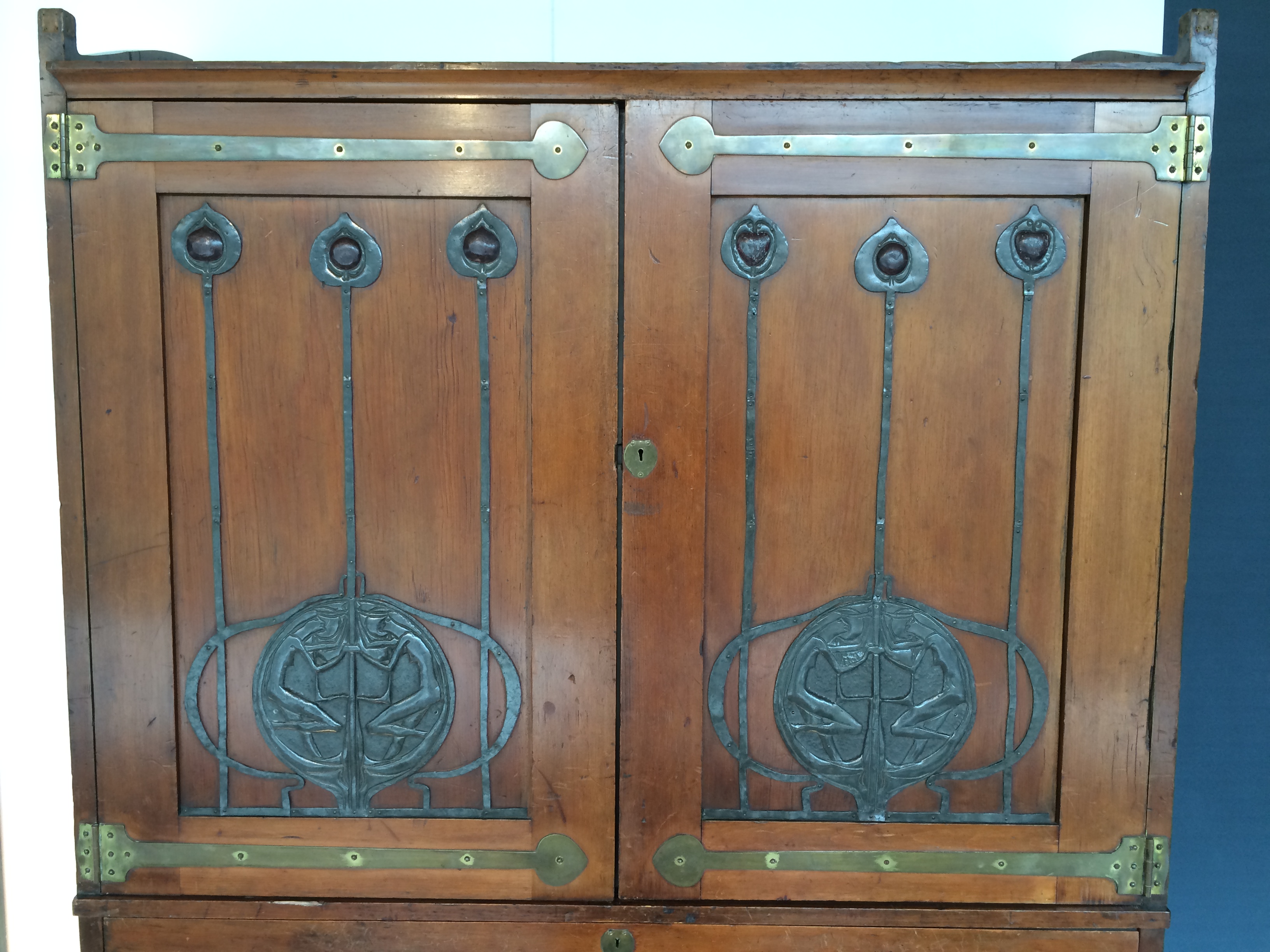
It had Art Nouveau decoration and ironwork influenced by the japonisme style. The second half of the building was more angular and modernist. There was everything an art student might need, including a studio for drawing live animals that had its own ground-floor entrance.  A camel was there at least once.

Somehow, it all holds together.

Although Mackintosh designed many famous buildings he didn’t bring in enough business and was eventually asked to leave the firm. He moved to England and then to France, giving up architecture in favor of watercolor painting, of which he was also a master. He died in London at age 60 of oral cancer.

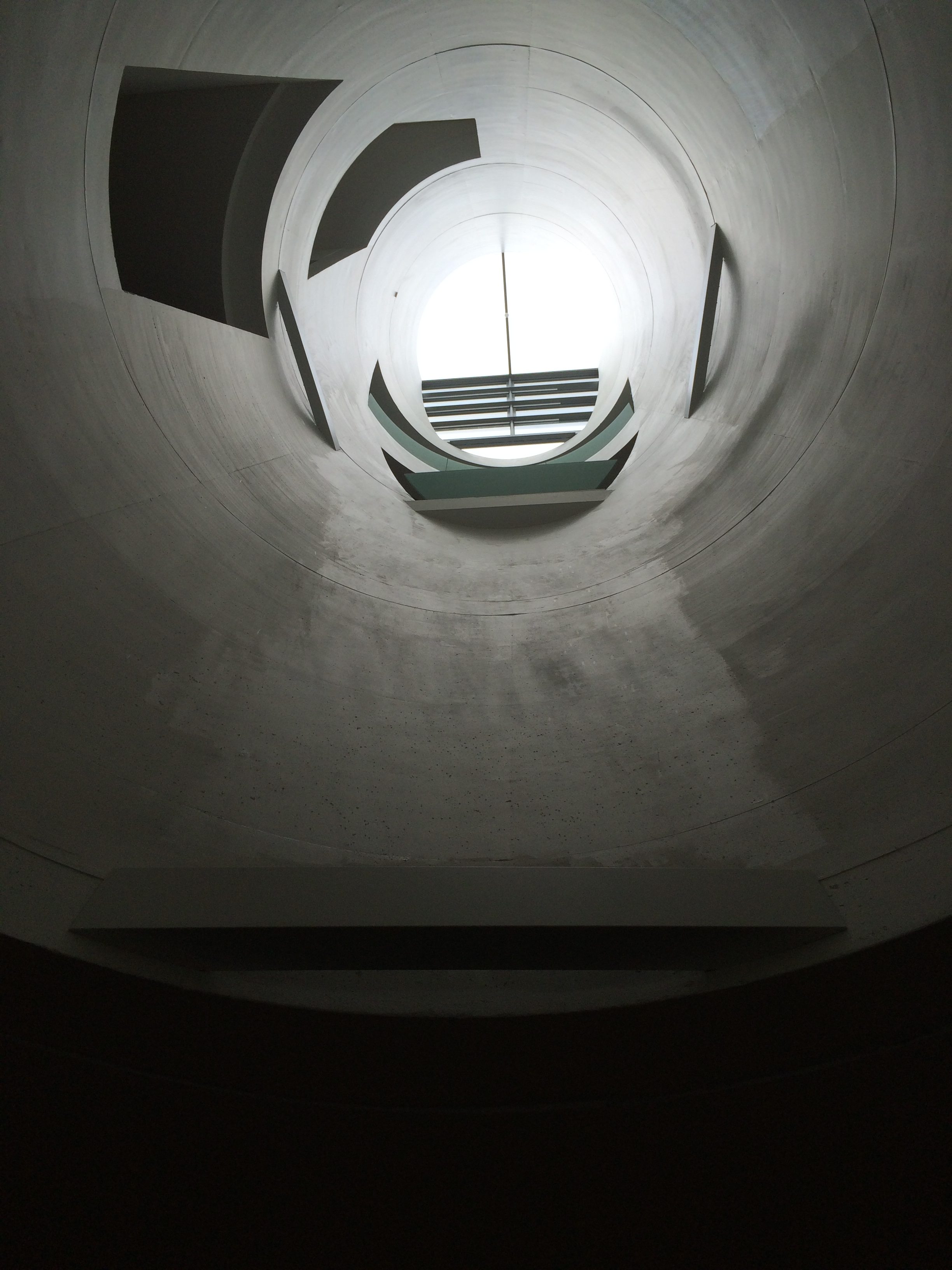
The Glasgow School of Art’s new main building, which opened across the street from the burned building a month before the fire, has some features that reference it, including multi-story light wells.

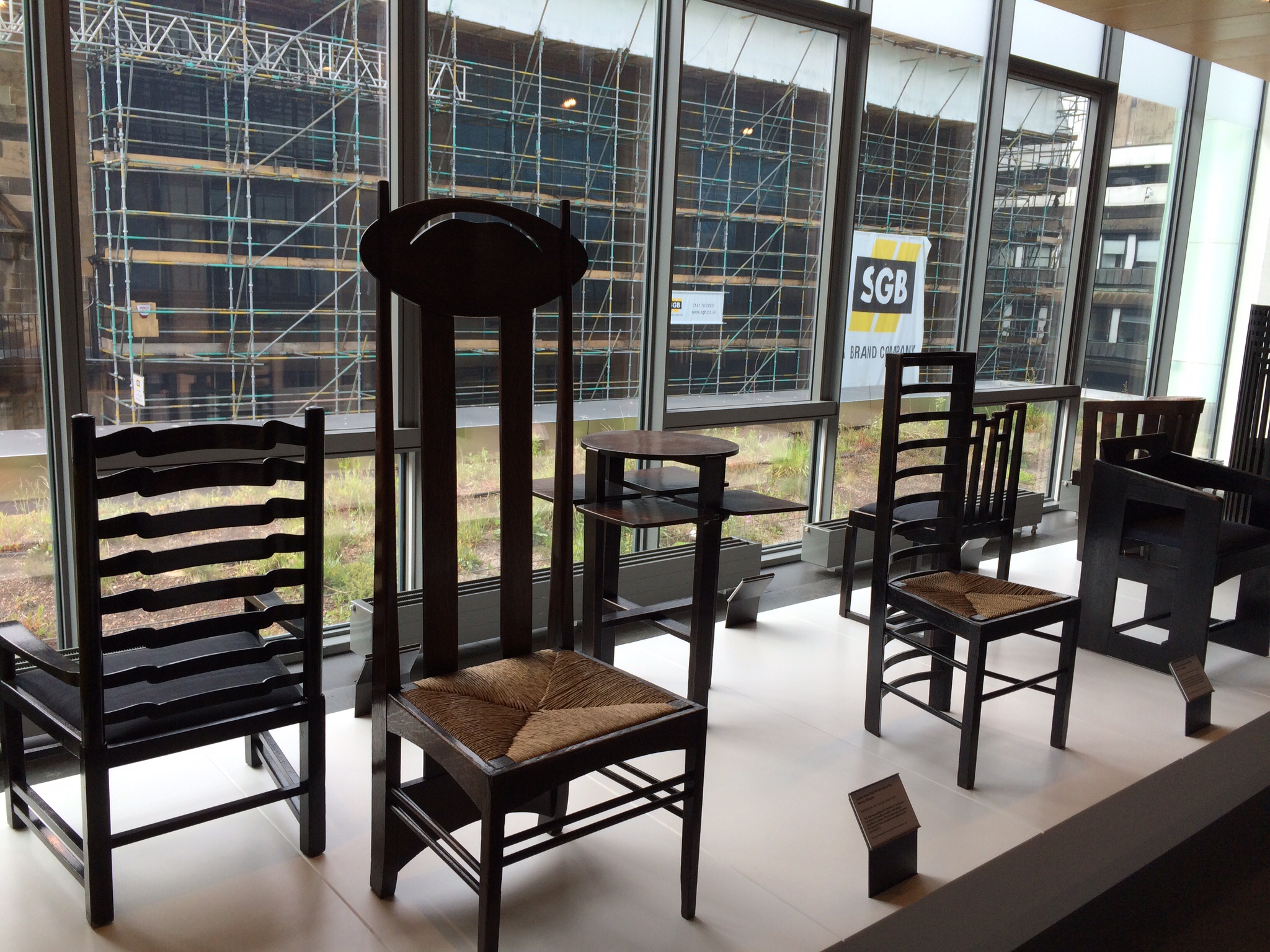
Like Frank Lloyd Wright, Mackintosh had a vision for everything in his buildings, including the furniture, the light fixtures, the fireplaces–all of which he designed.  The new building has a room devoted to Mackintosh’s furniture (and some made by his well-known wife, Margaret Macdonald Mackintosh).

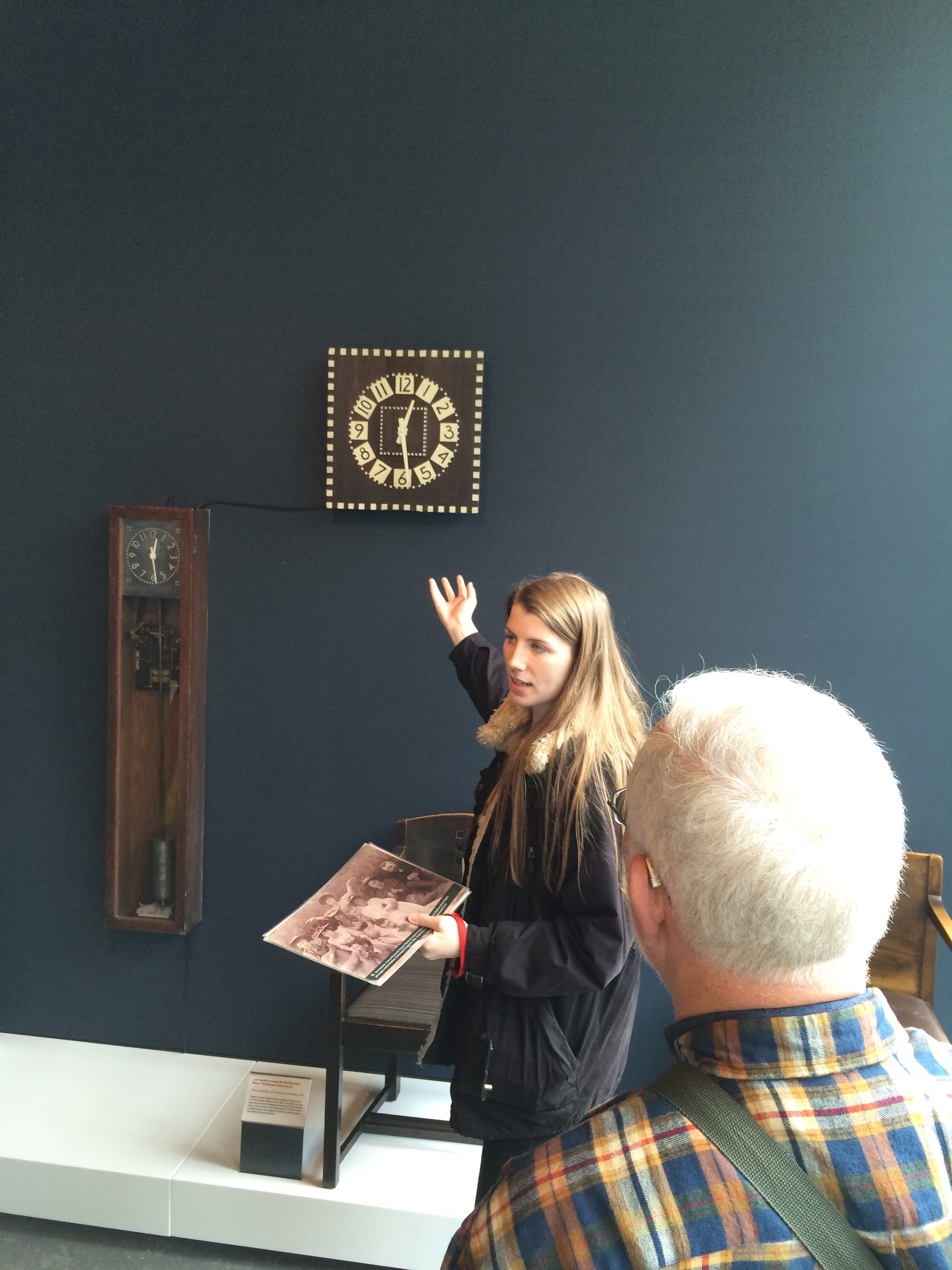
I took a tour led by a woman who graduated last year. Her entire Degree Show installation was destroyed in the fire, as were those of many students.

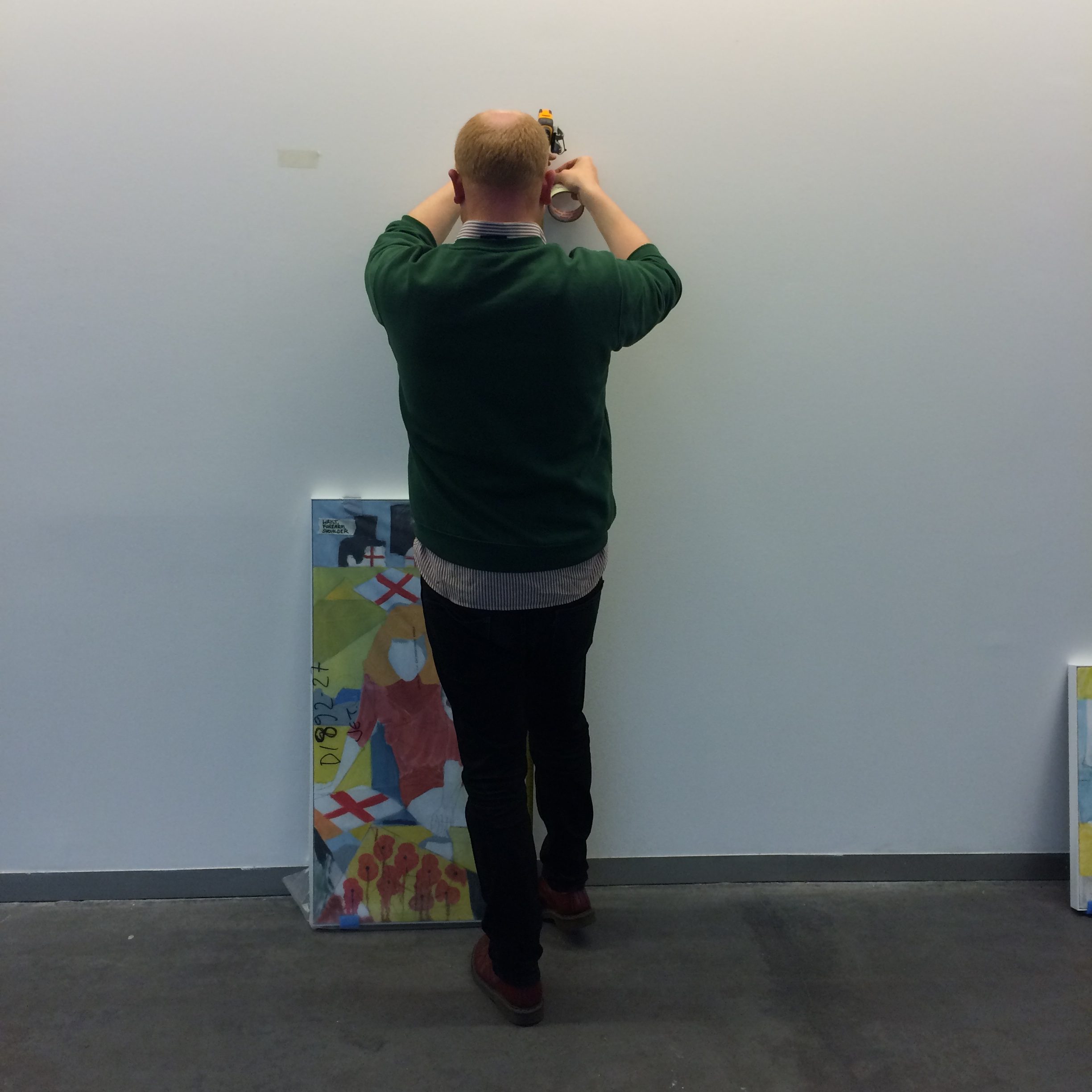
But life and art go on.  She and other students who lost their work are preparing a show that will be mounted in July.  Yesterday, this graduate student was hanging his paintings on the ground floor of the new building for a show that will open in a few days.

The art school and the architecture world are determined to save the Mackintosh Building. It is being renovated at the cost of 28 million pounds and won’t re-open until 2019.


Back again

Sometimes when you go to a place a second time you feel like a returning emigrant. You think you know it. (Of course you don’t).

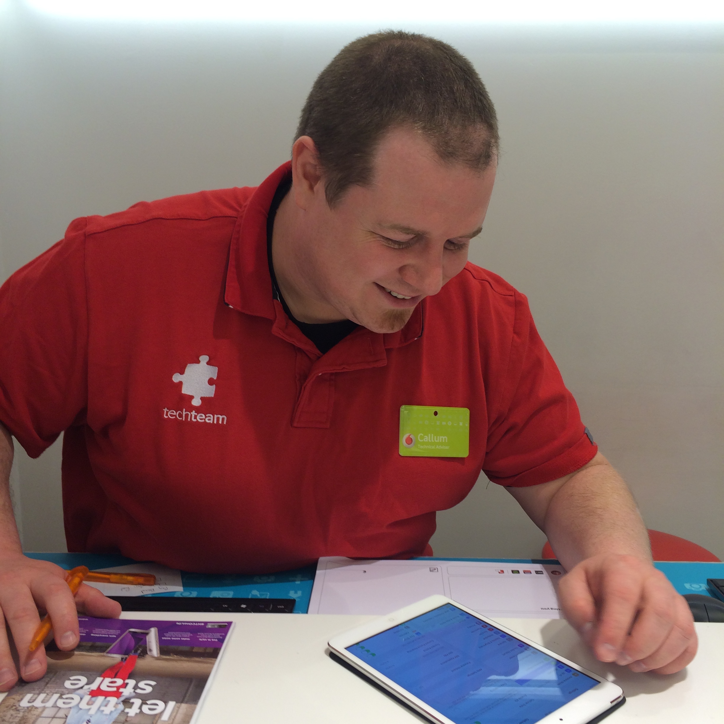
I had that illusion arriving in Glasgow a couple of days ago. I knew how to get to the hotel, a no-star special called the Victorian House, and I recognized the woman behind the desk. When I went to the Vodafone store to get SIM cards for my phone and tablet, the same guy who helped me last year, Callum McGavin, helped me again.

I’m back to walk across Scotland, a somewhat unlikely thing to do once, let alone twice.

I’m doing it as part of The Great Outdoors Challenge, an event sponsored by an outdoor magazine is described in more detail in the About section of this blog. I’m taking a different route, more northerly and probably colder; the departure spot, Strathcarron, is at a latitude just south of Juneau, Alaska.  It snowed there briefly this week (when it wasn’t raining).

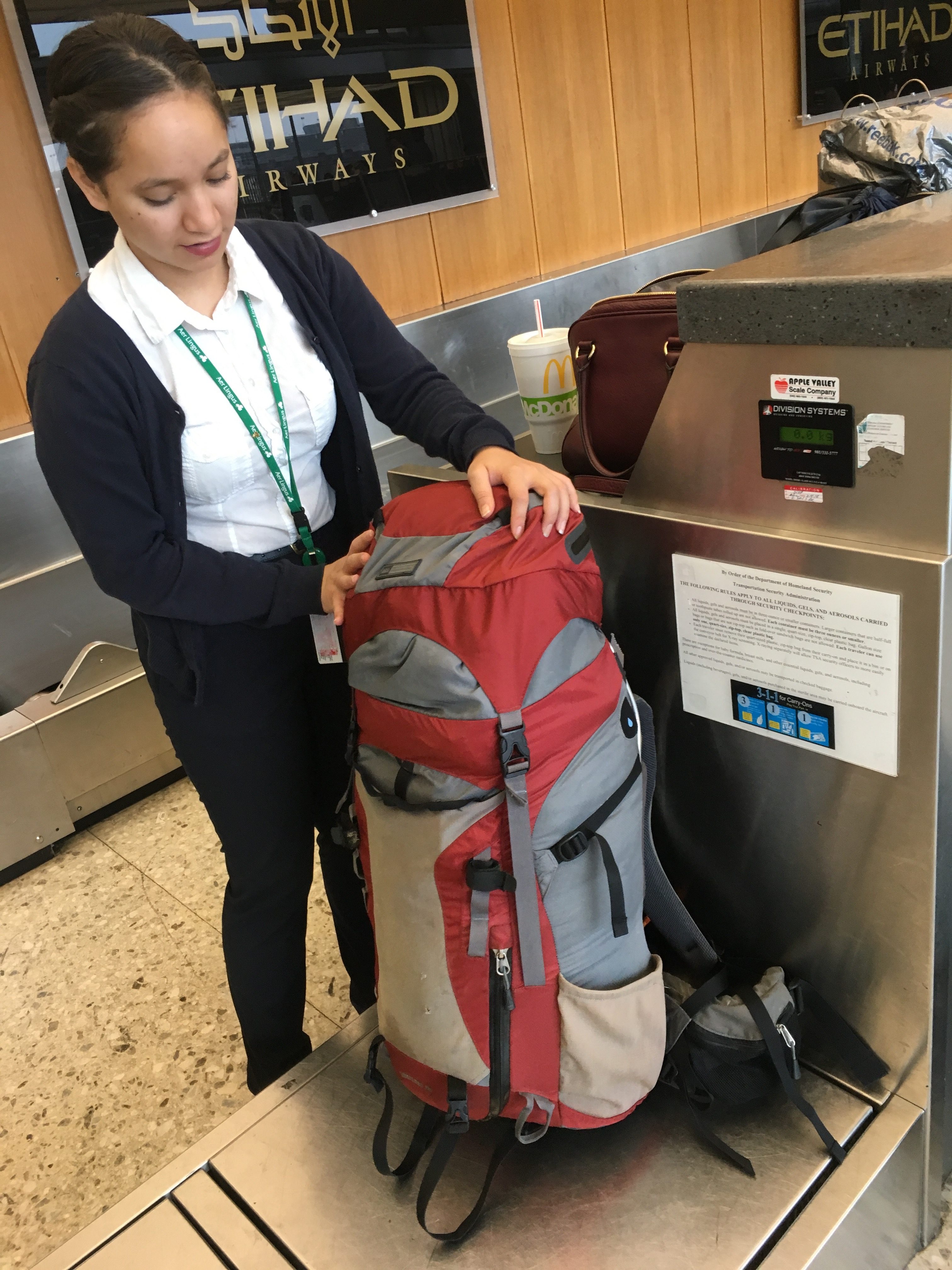
I’m trying to travel lighter this year, but without much success. The pack tipped in at 28.5 pounds on the airline scales at BWI.  That was before food, electronics and various random items were added.

I’m carrying less clothing this time (although I did throw in a third pair of socks at the last minute). In general, however, I’m following the advice of the well-known outdoorswoman, Dorothy Parker: “Provide for the luxuries and let the necessities take care of themselves.”

Consequently, I once again have a small thermos for tea and a mini-Nalgene full of single malt, along with an iPad mini, Bluetooth keyboard, rechargeable battery, and a paperback book called “The Highland Clearances.”

I bought the food through a company in England that offers a discount to “Challengers” (as we’re called) and had it sent to the hotel. Each “ration pack” has 2,700-calories-worth of freeze-dried stuff and cereal bars–more than enough for a day.  The day I arrived I divided the packs and sent them to three B&Bs where I’m stopping along the route.  I included the maps I need for those sections too, so I don’t have to carry them the whole way. I’m trying to be ounce-conscious, which is somewhat ridiculous given my tastes.  Last year I met someone who hadn’t carried a stove on his last seven crossings in order to save weight.

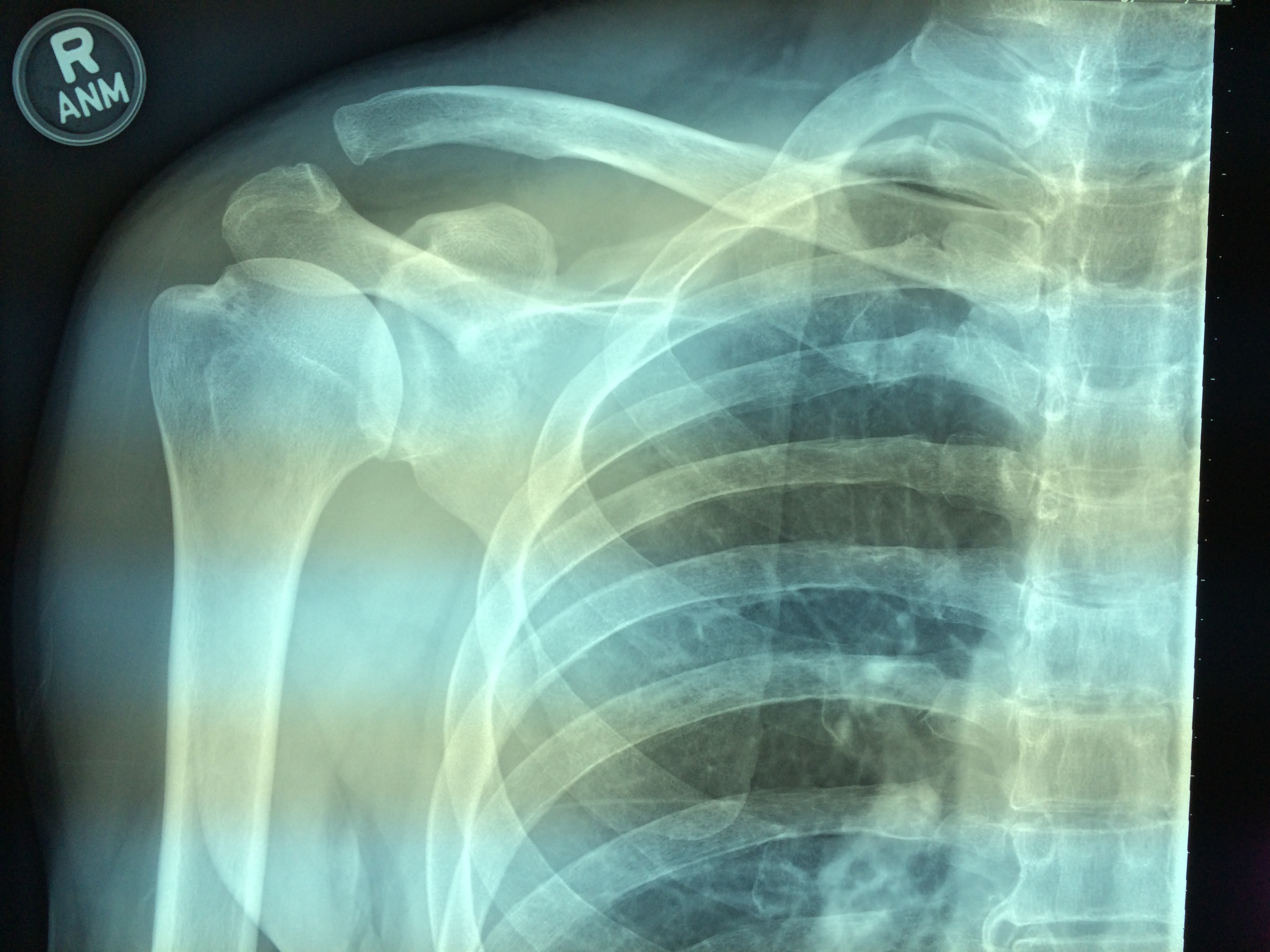
The wild card this year is my right shoulder, which I hurt about 10 days ago when I went over the handlebars of my road bike, landing on it. I swerved off a bike path to avoid three children, hit a rock-filled drainage ditch and flipped. I landed on grass.  It could have been worse.

I ruptured the acromioclavicular ligament, one of two ligaments that attaches the end of the collarbone to the shoulder blade. You can see the two bones are farther apart than they should be, and also out of alignment.

IMG_6195

Surprisingly, the injury was not terribly painful, and my range of motion was hardly affected. (I could still pull a sweater off over my head.) The doctor at the sports medicine clinic suggested I wear a sling for two weeks. I didn’t tell him I was going to try an alternative form of traction–two weeks of downward pressure with a backpack strap.

It’s actually aching a bit more now than after it happened. Last year I started each day with three aspirin. We’ll see how that works this time.

But first, a little sightseeing.


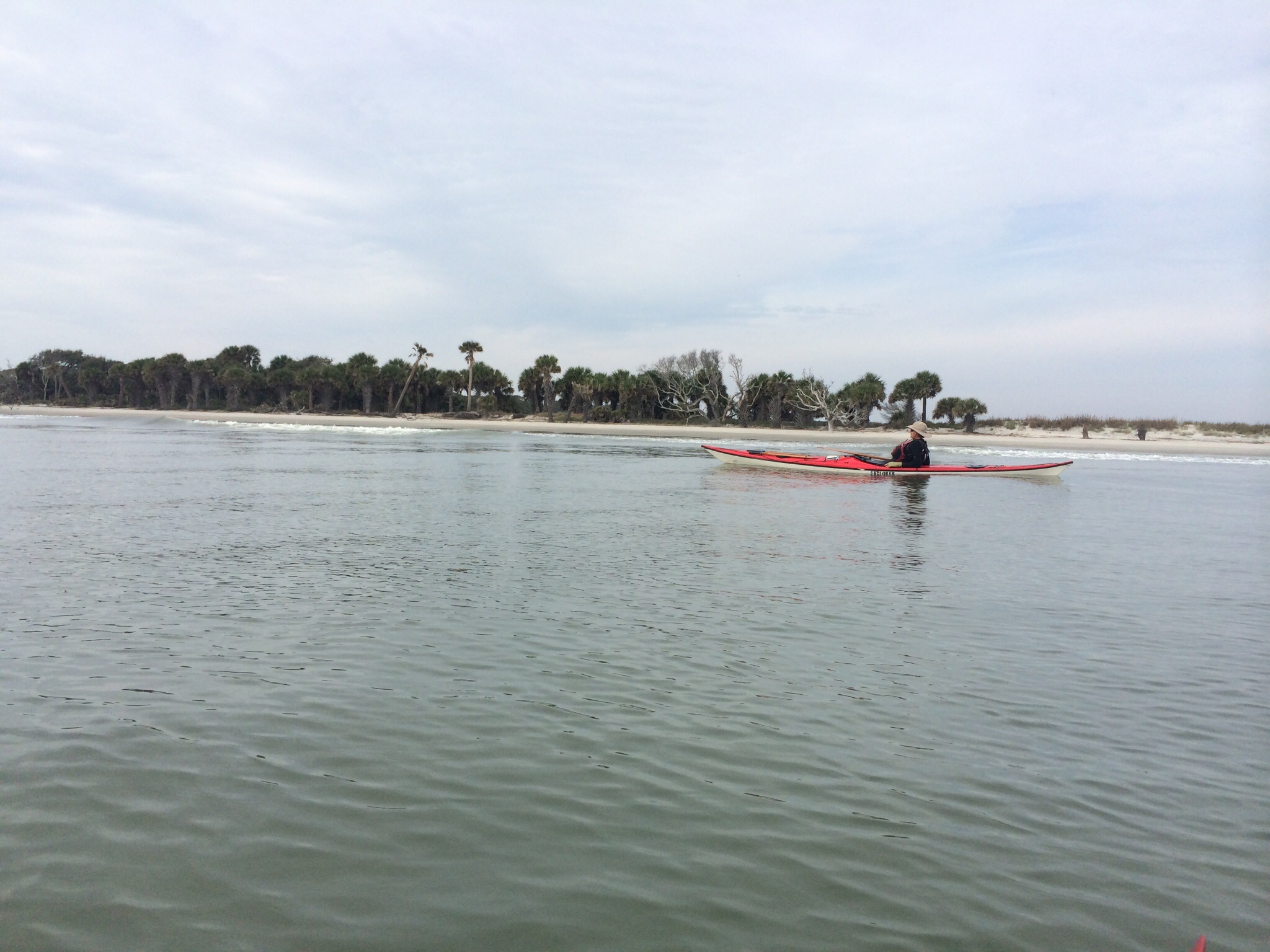
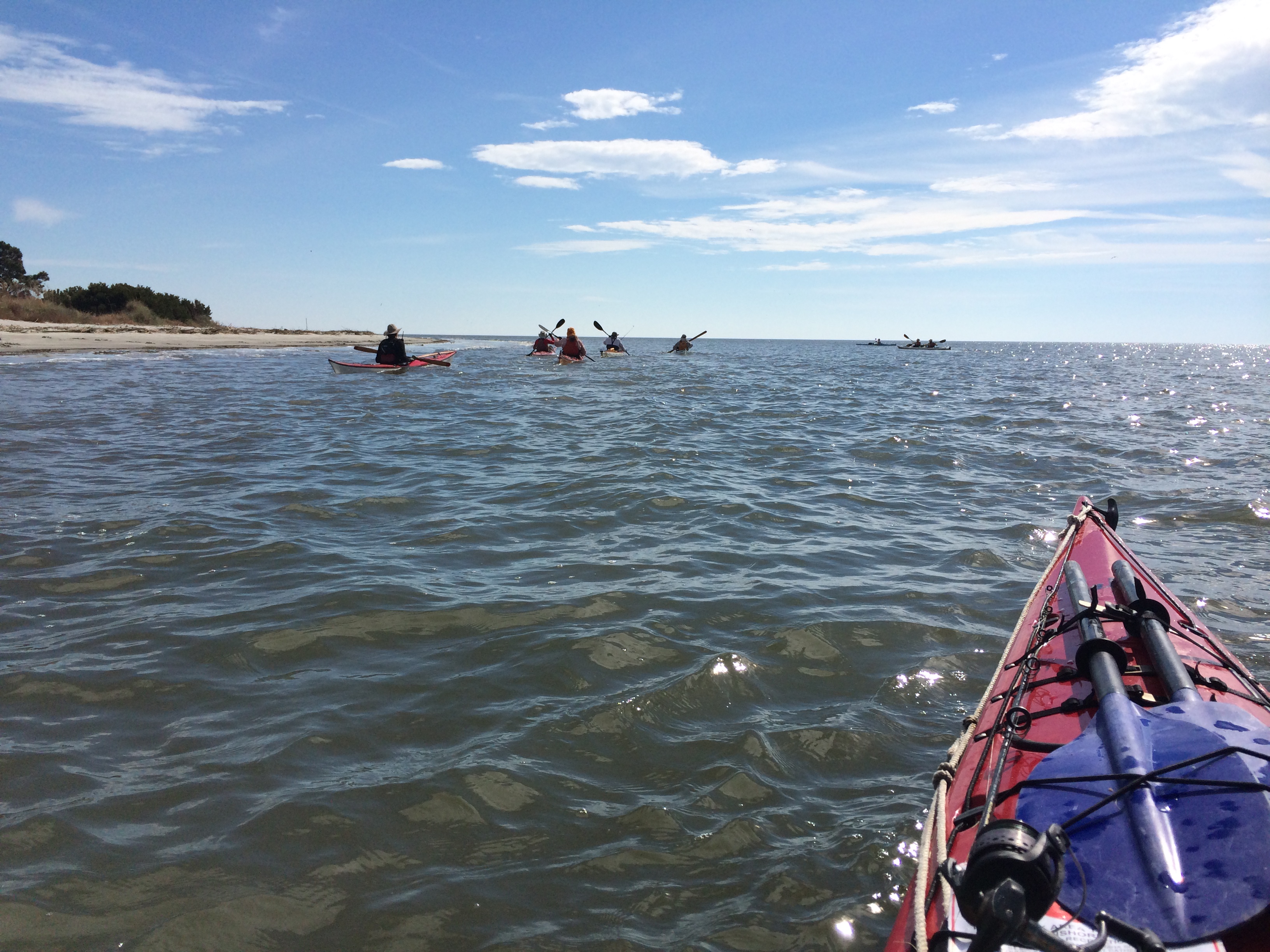
The next day the conditions outside were even better. We paddled along St. Catherines Island. As with the islands on Virginia’s Eastern Shore, stretches of the beach were covered with the standing and toppled carcasses of trees–oaks, pines, cedars–that had once been on high ground. The water was calm except for the swell that lifted and dropped us as we paddled along.

image

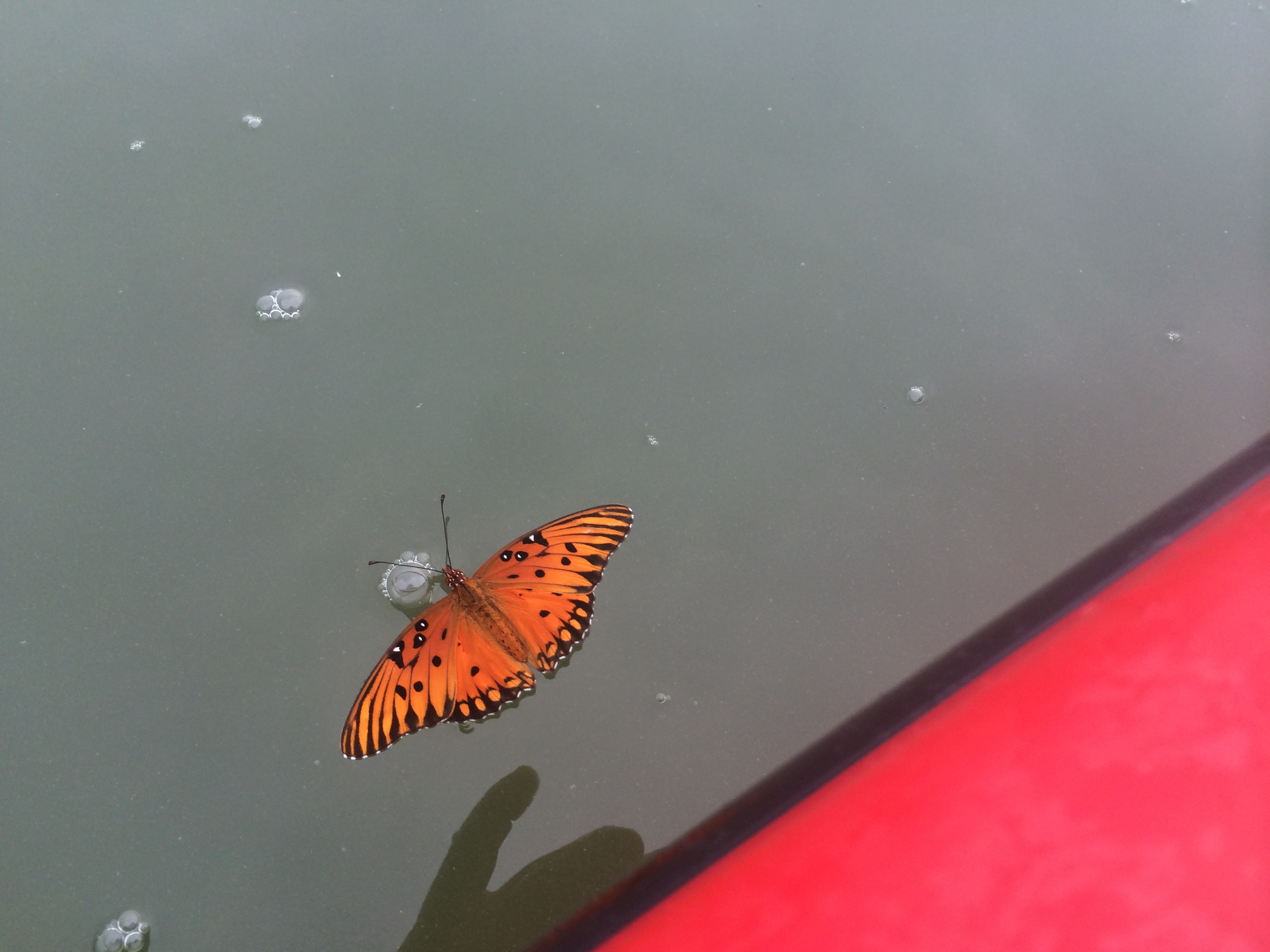
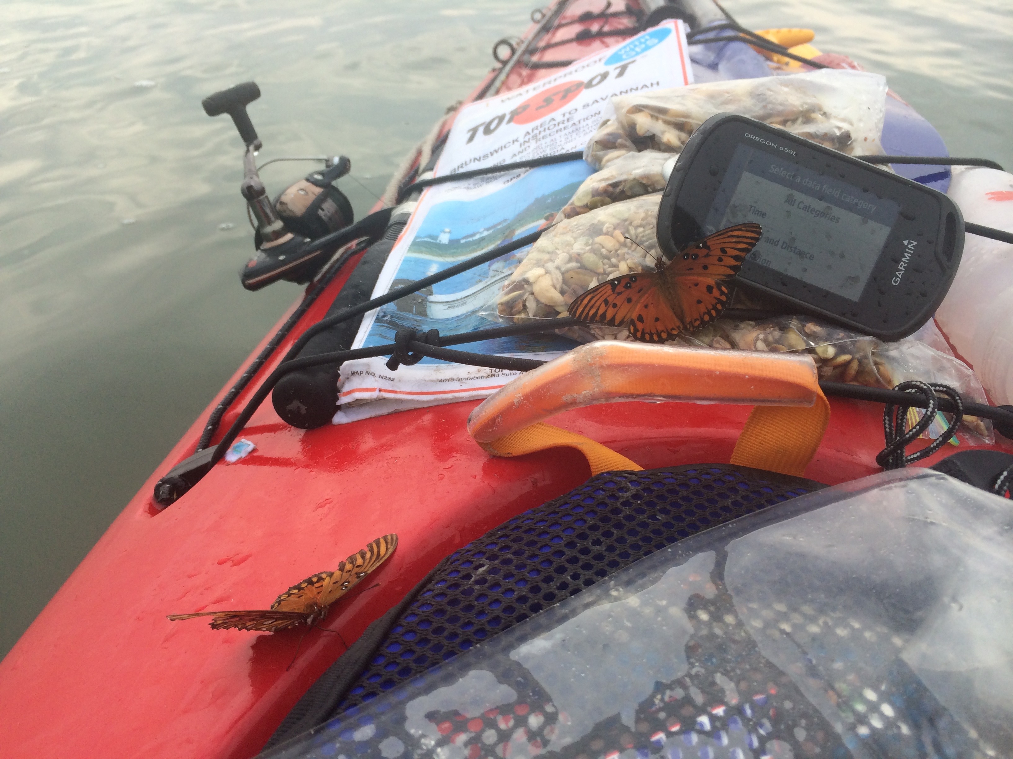
Crossing Sapelo Sound to the north end of Blackbeard Island we saw a lot of butterflies. They were orange and black, but not monarchs or viceroys.   Some had suffered too-close encounters with the water. I picked up one and was surprised to see it was still alive.

Georgia coast kayak trip 123


I gave a lift to two butterflies. One rode 10 miles until we got to land, where I put him on a bush. The other resumed his journey once his wings dried.

Georgia coast kayak trip 124


This particular day was supposed to be only 16 miles but turned out to be 20.36 miles. We arrived at Raccoon Bluff on Sapelo Island pretty spent. (The cloud of no-see-ums greeting us didn’t help). We spent the night in a campground at Hog Hammock, the only surviving community of five created by freed slaves after the Civil War.

Don had arranged for us to have a Low Country dinner prepared by the cook of the village’s one restaurant, which was normally closed that time of year.  The dinner consisted of gumbo, macaroni & cheese, red rice, fried chicken, two kinds of biscuits (beaten and “cat head”), two kinds of ice tea (plain and sweet), and lemon cake.  It was great.  We didn’t finish anything.  We took some of the leftovers for the road.

The next morning we had an audience with Cornelia Walker Bailey, the resident interpreter of Hog Hammock’s history, in her house next to the community store.  She is the author of a book on the island’s folk life, called “God, Dr. Buzzard, and the Bolito Man: A Saltwater Geechee Talks About Life on Sapelo Island, Georgia.”

The black residents of the coastal islands are know as the Gullah people, although on Sapelo the preferred term is Geechee.  They’ve interested ethnographers for a century because they’re thought to have had a greater continuity with African folkways and language than most Southern black communities.  The sentence structure of the local dialect (before it was diluted by modern exposure) was considered similar to that of some West African languages.  The tradition of incorporating a prized possession into a person’s grave marker is similar to that of some West African groups.  One thing Ms. Bailey said during the hour-long session suggested this thread is not yet broken.

She’d visited Sierra Leone and bought a book of local folk tales at King Jimmy’s Market in Freetown.  The stories included some she’d heard as a child.  “I’m going, ‘Wait a minute, Mama told me that story, and she couldn’t read or write’, ” she said.  “So how come that story printed in a book in Africa is the same story that Mama told us as we were growing up?  It’s amazing, almost word for word, the story hasn’t changed much at all.”

In recent decades, as younger generations moved off the island and subsistence farming and fishing became less viable, the black people of Sapelo sold most of their waterfront property to white weekenders, some of whom have built large houses on stilts.  Four of the black communities, including Raccoon Bluff where we landed, no longer have any black residents at all (although the church at Raccoon Bluff still exists).  The golden age of Sapelo’s black communities, Ms. Bailey said, was about 15 years after the Civil War.  Black ownership of land was common and the villages were big enough to support schools, midwives, tradesmen.

“It was a happier time, it was a more fulfilled time.  People were not worried about losing their land.  They had just got it and acquired it.  They were comfortable with that.  ‘I’m a landowner.  After being a slave for so many years, I own this piece of ground’. ”

Georgia coast kayak trip 132


We left the next morning from Duplin River at the southern end of Sapelo, crossed Doboy Sounds–it’s plural for some reason–into a creek that went through an area of marsh claimed by numerous islands (Wolf, Queens, Rockdedundy).  Once again, we had to keep underway without rest in order to catch the tide.  At this point we were also without the chase boat.  Turney McKnight, whose kind services allowed the trip to be almost luxurious instead of painfully spartan, had headed for home.

We spent the final night on an island made of dredge spoil–a ridge of coarse sand with a decade’s worth of vegetation–on the Intracoastal Waterway just across the Altamaha River.  There was so little firewood that a three-person party went out in the falling light to get some from a neighboring island.

Georgia coast kayak trip 151


We had a dinner of pasta with sauce made from materials still left in the cooler–a “chef’s challenge.”  The season had turned.  It was autumn and cold.

The next day was short, cool, overcast, and windy until we turned into the protection of Wilson Creek.  Our destination was Hampton River Marina on Little St. Simons Island.   We got off the Sea Islands just where they became filled with millionaires and golf courses.

Some of the group caught a shuttle to the airport.  The rest of us–six–once more loaded the trailer and the van, climbed in and headed north.  About six hours up the road we stopped and booked three double-occupancy rooms for $49 apiece–a bargain rate that Bob Baugh negotiated with desk clerk when he learned the man had once lived in Maryland.  Before the night was over we’d all gotten new rooms because of problems with the ones we’d been assigned.  Still, a bargain.

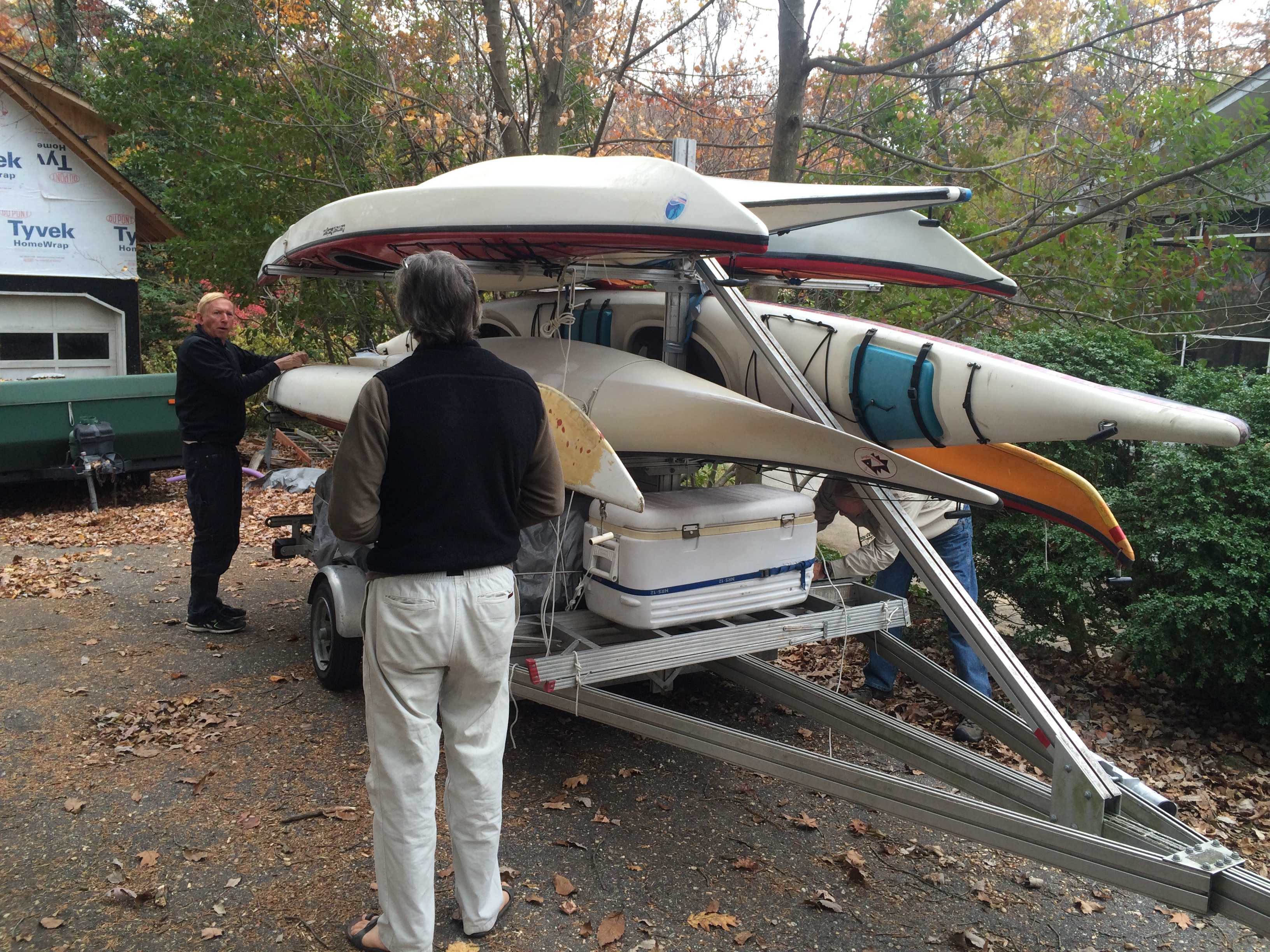
Soon enough we were back in Annapolis.  Ed Dryden backed the huge rig into Don’s downhill driveway with the precision of a man doing embroidery.  We were almost done.


Georgia coast kayak trip 160

After two nights at Bradley Point one option was to stay a third night if the conditions were too trying to head off.  Such a strategy would have made the following days longer and removed all future flexibility in the schedule.  The group decided to move on, with the understanding that if the going was too rough we would turn around and come back to the campsite.

We paddled westward for several miles in the inlet between Wassaw and Ossabaw islands.  Both wind and current were in our faces, which made for a tiring and choppy, but not especially tricky, morning.  Eventually we got to the entrance of the north-south creek through Ossabaw Island, and entered it.

On an incoming tide, water flows into such creeks from both the southern and the northern ends.  As a consequence, there’s a place somewhere near the middle of the island where the two fronts of rising water meet–“the dividing.”  On this day, Don kept us going until we got to the dividing so we could take full advantage of the tidal assist.
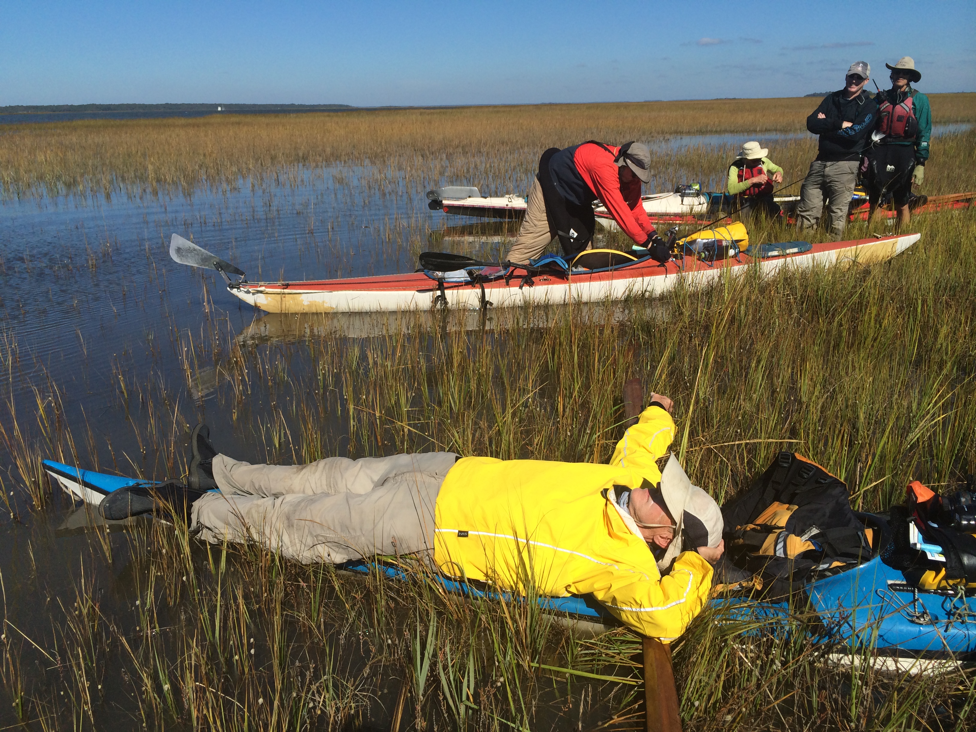
We were quite tired when we got to that estimated place and finally took a break.  There was no high ground, only a Juncus marsh in ankle-deep in water.

Some people found ingenious ways to rest.

Georgia coast kayak trip 078

Our desire on the trip was to live at least partly off the fat of the land–which is to say off our, or somebody else’s. fishing.   Don and Eric Schwaab fished often and caught nothing, and the few other anglers we saw were similarly unlucky.  We saw some shrimp boats far off, but  failed to get their attention.  However, we did run into a crabber farther down this creek.  We bought $35 worth of blue crabs, all of which, he told us, were bound for Maryland,  where the demand  was higher and the supply smaller than here.

Without going ashore (but with help),  Don managed to empty his back storage hold for the crabs.  After landing at the camping spot, at the southern end of Ossabaw on Jacobs Creek, we off-loaded  them.

Georgia coast kayak trip 087

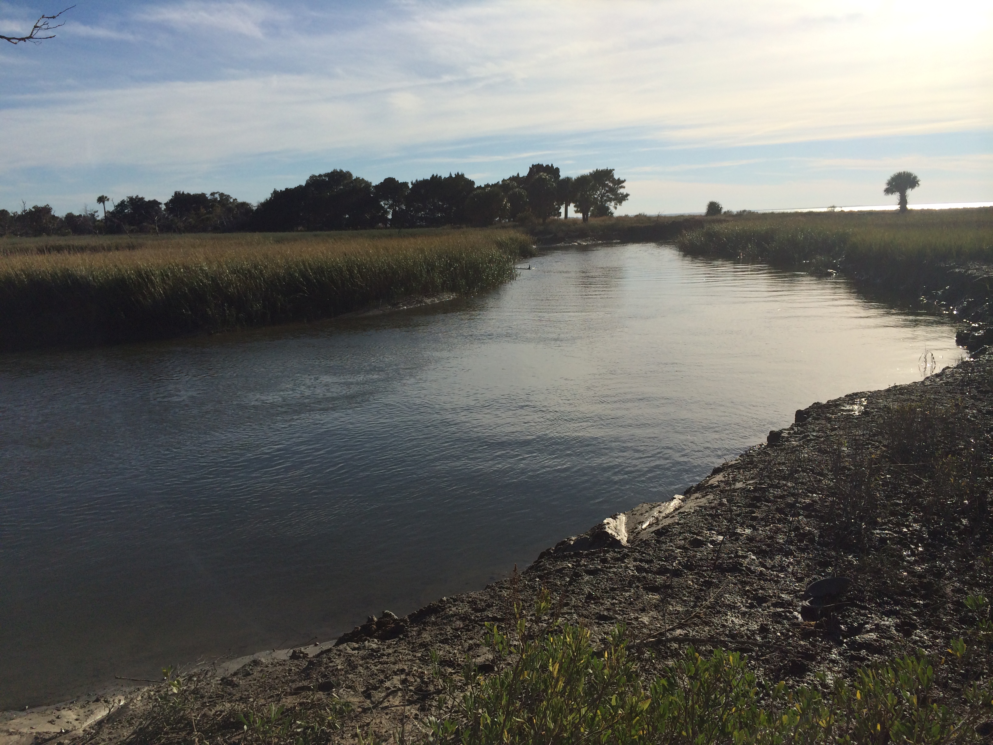
We swam in the creek, as did a dolphin, its dorsal fin appearing periodically as it herded fish into the bank.  (You can see it in the distance on the left).

Georgia coast kayak trip 082

The next day the conditions were finally right to go outside.  We crossed yet another inlet, this time in perfectly calm water, and started down St. Catherines Island.  It was thrilling to be in the ocean.

Georgia coast kayak trip 099

We came ashore at a mid-island creek–McQueen Inlet–through breaking swells, an exciting ride.  The initial choice of a campsite was abandoned because we thought it might have bugs when the wind fell off in the evening.  Instead, we crossed the inlet to a dogleg of beach, where there was a perfect place.

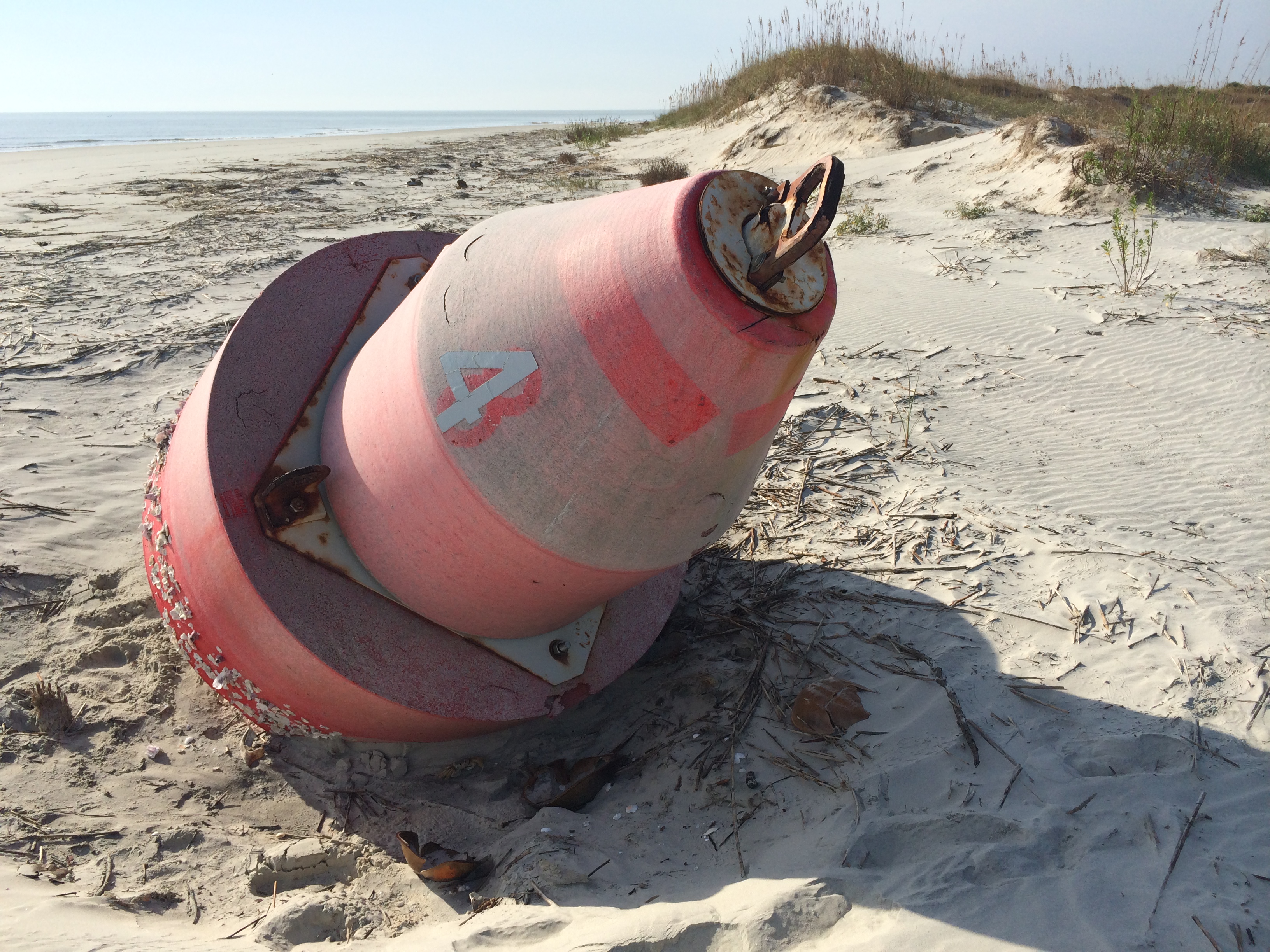
A buoy had washed ashore, evidence of how rough the weather could get.

Georgia coast kayak trip 117

I went swimming.

Georgia coast kayak trip 114

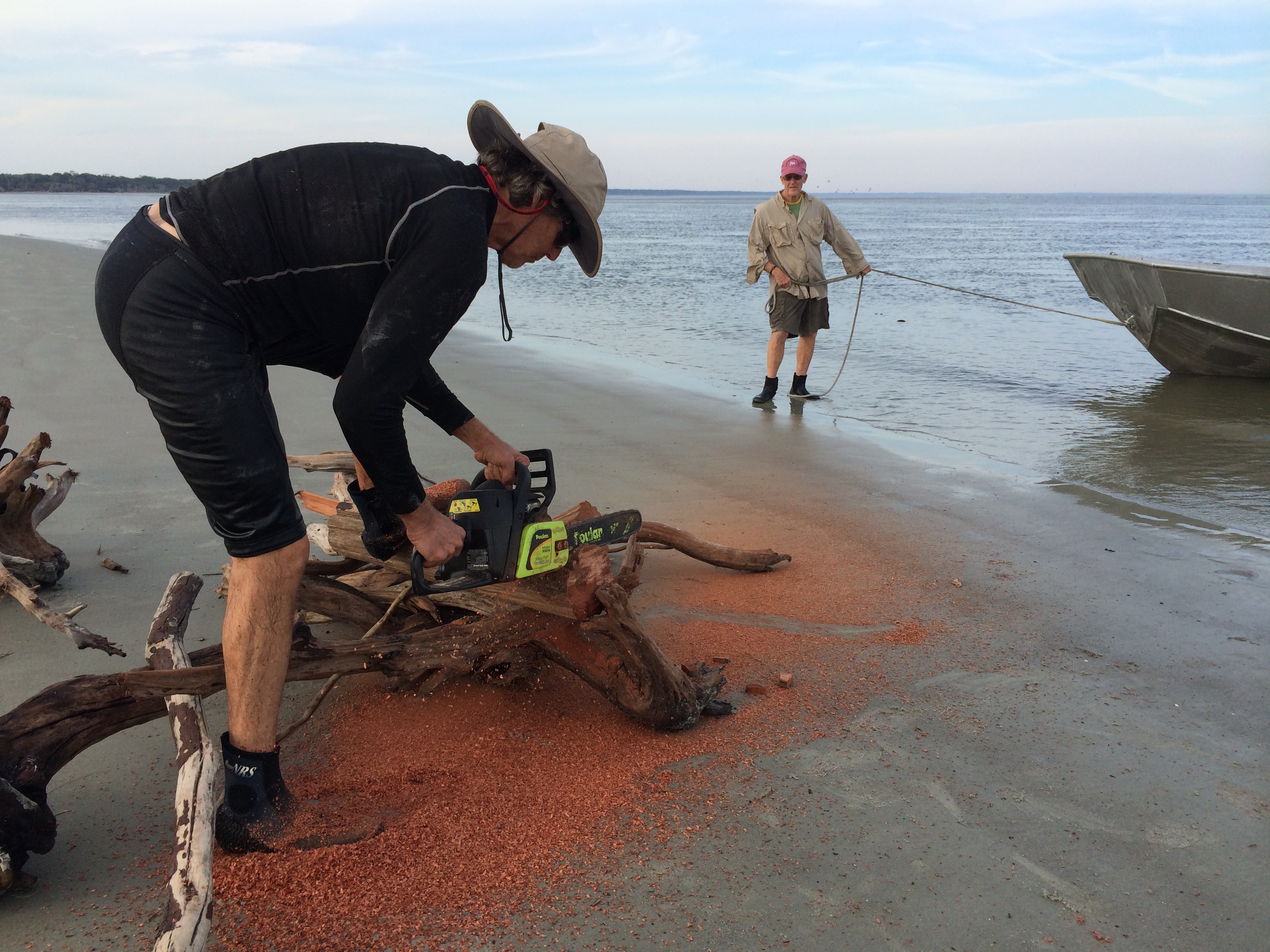
Bob cut trivets–mementoes of the trip–out of a piece of cedar that was so red it appeared to bleed on the sand.

Georgia coast kayak trip 108

We had plenty of room.

Georgia coast kayak trip 113

Don had along with him in a watertight Pelican case a library of books on the region’s natural and human history.  It contained a copy of the secret journal that Frances Anne Kemble, an English actress, kept from her sojourn on plantations on Butler and St. Simons islands in the winter of 1838-39.

Known as “Fanny,”  Kemble in 1834  married a Philadelphian named Pierce Mease Butler, who inherited three plantations in South Carolina and Georgia early in their marriage.  Kemble was an abolitionist and hoped to convince her husband to free his slaves on a visit they made to the holdings.  She was appalled by the working conditions, punishment, housing and sexual exploitation she saw, recording her findings in a journal that wasn’t published until 1863, long after she and Butler divorced.

Butler didn’t free his slaves.  But threatened with bankruptcy, he sold about 450 of them in 1859.  The event was so large that The New York Tribune covered it.  Its correspondent wrote:  “The buyers were generally of a rough breed, slangy, profane and bearish, being for the most part from the back river and swamp plantations, where the elegancies of polite life are not, perhaps, developed to their fullest extent. In fact, the humanities are sadly neglected by the petty tyrants of the rice-fields . . . comprehending only revolvers and kindred delicacies.”

I read three excerpts from the journal–her writing is clear, detailed and unflowery for its time–as we tried to imagine what had gone on almost beneath our feet and fire.


Georgia coast kayak trip 115

Georgia coastal islands, part 1

Who doesn’t like islands?  They’re pocket-sized continents with topographical features to explore even if they’re only a dune of sand with grass on the top.  They let us know the essential truth about life on our planet that wherever you are, you’re surrounded by water.  On islands you get the message in hours, and sometimes in minutes.

When Don Baugh, who’s introduced me to so many islands around Chesapeake Bay, invited me to explore islands on the Georgia coast, it didn’t take long to say yes.

He’d done the trip a couple of times before.  It would be repeated in the quasi-sybaritic style he’s perfected:  serious paddling under changing conditions; camping in places with no civilization nearby; served by a motorized chase boat carrying water, food and alcohol.  A formula hard to beat.

A dozen people were on the group.  A few flew down from Maryland, one drove from New York, but most traveled from Annapolis in a church van pulling a three-tier kayak trailer with seven boats tied on.  We left at  8.15 a.m. on a Friday and arrived at Tybee Island, Georgia, 12 hours later.

We spent the night at a motel and the next morning unloaded the boats and all the gear at the beach where we would start.  While one group of people shuttled vehicles to out take-out point, Little St. Simons Island, about 90 miles down the coast, the rest killed time walking around town and lying on the beach in the slanty fall sun.

This was going to be the inaugural trip for the Greenland-style paddle I’d made with lots of help from Don’s brother, Bob.

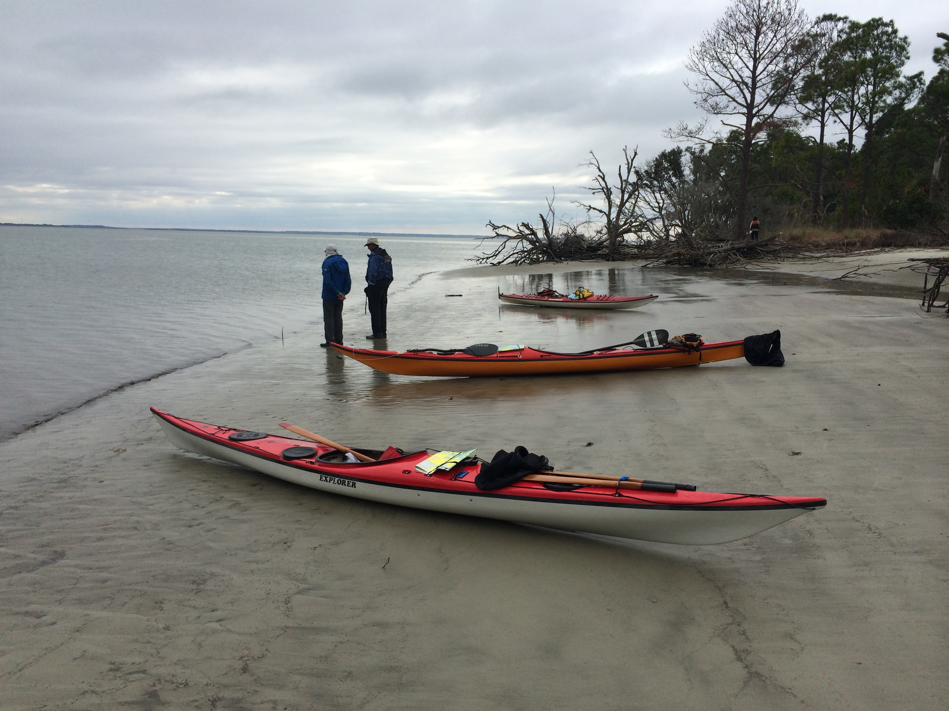
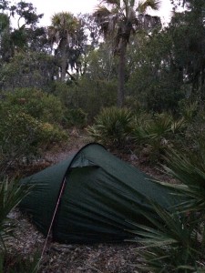
We took off in mid-afternoon, which given that it was early November meant there were only a couple of hours of daylight left.  The wind was behind us as we crossed the mouth of Tybee Creek and then went into it, aided by the tide.  It was a fast paddle with the excitement of a following sea.  We camped at a public island with a clearing, a fire ring, and a path into the high ground with cleared spots for tents off it, like brussel sprouts on a stalk.  This was mine.
Georgia coast kayak trip 010

Don gave a synopsis of the trip in front of the fire.  The trip required planning of symphonic complexity and precision.

Weather, and particularly wind, would be the most important variable, with tide close behind.  The water rises and falls at least eight feet each tide cycle in this retgion, driving huge volumes of water through the channels between islands.  The inlets are the most hazardous stretches; they offer long fetches for waves. and wind and tidal current can clash in unpredictable ways.  Last but not least, the state of the paddlers–individual and aggregate–changed like the weather and mustn’t be overlooked.
Georgia coast kayak trip 021


We were told the next morning would be difficult.  The forecast was correct.  It rained during the night, and was overcast and cool as we paddled off the island into a headwind that reduced our progress by a couple of miles an hour.  We did better when we turned south and headed down Bull River, the main channel through the island.  There, we got a wind assist as we made our way toward the southern end.

Things changed, however, when we got to Wassaw Sound, the wide stretch of water between Tybee and Wassaw islands. There the wind blew onto our bow quarter, creating waves that one wanted to head into for stability but that eventually had to be taken obliquely to make the heading.  It was tough.

Wind at your back in such conditions sends the boat down into the trough of waves, where the bow buries momentarily.  To the paddler the view is like outtakes from a B movie about submarines, filmed in a special effects tank. Unfortunately I have no picture to support this  description.  That’s because in paddling there’s something analogous to the “observer effect” in physics, which says that when you measure something you alter the state of the thing measured.  When you stop paddling to take a picture of how you’re doing, how you’re doing can change in a hurry.  As a consequence, pictures tend to be taken in calm conditions.  At least mine are.

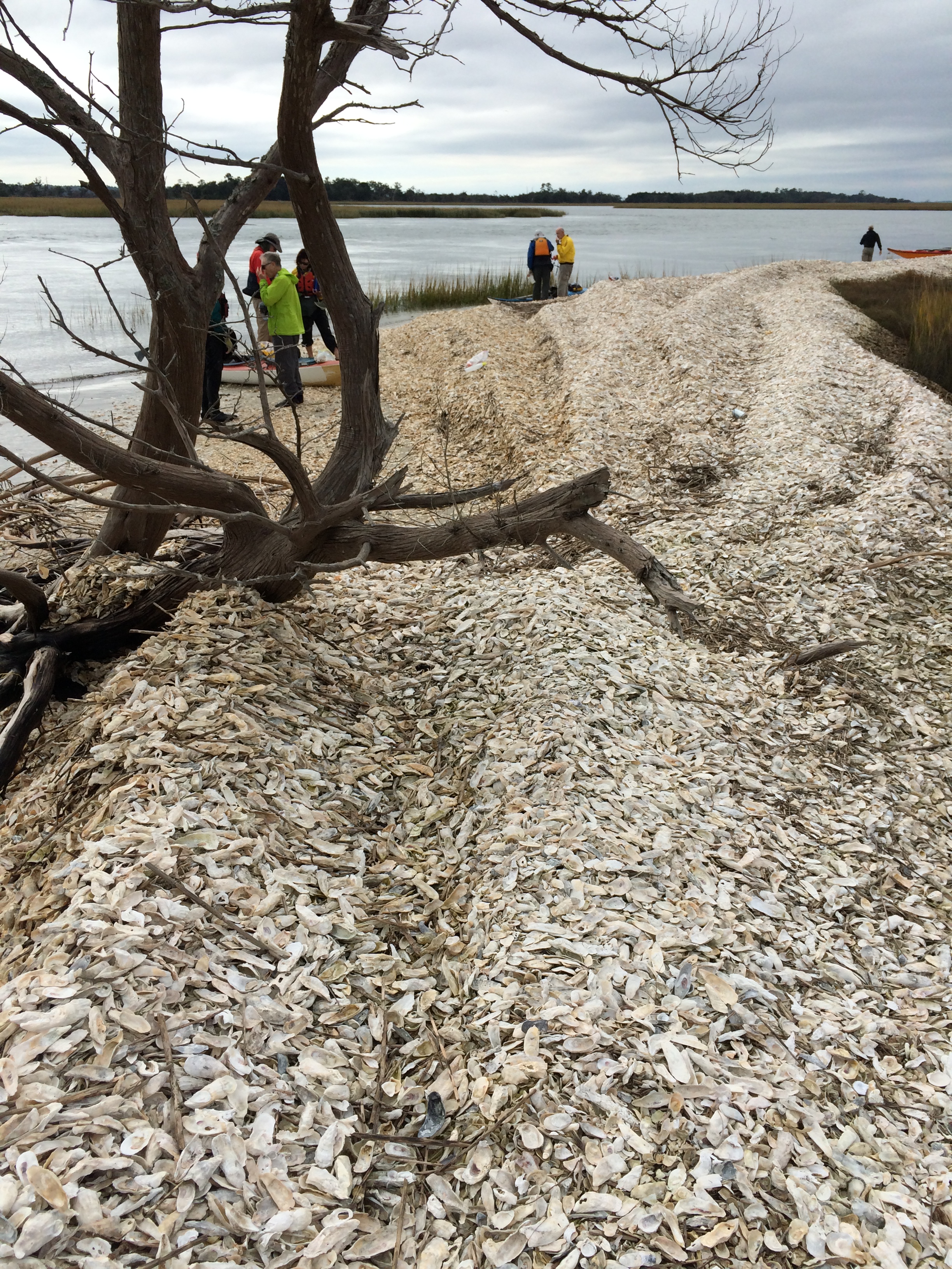
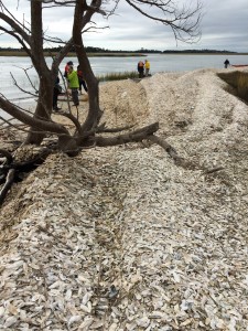
After a long stretch with no breaks, we made landfall on an oyster-shell bar on the southern side of Wassaw Sound that marked the entrance to a creek int o Wassaw Island.  We had waves on the starboard beam in this final stretch, and  then had to change our heading and paddle against a tidal current so that we wouldn’t be swept into the ocean.  Don told me once that he worries when people come ashore quiet; it often means they’re spent, physically or emotionally.  Some of us came in quiet to this oyster-shell bar.
Georgia coast kayak trip 019

We weren’t nearly done, however.  We paddled the length of the island to the inlet between it and the next one to the south, Ossabaw.  We stopped at a place called Pine Island and waited for the tide to change so we could cross in slack water.  There was a beautiful stretch of beach, but it was too cool to swim and we were too tired anyway.
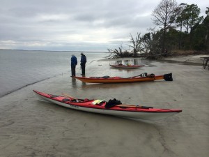
Georgia coast kayak trip 022

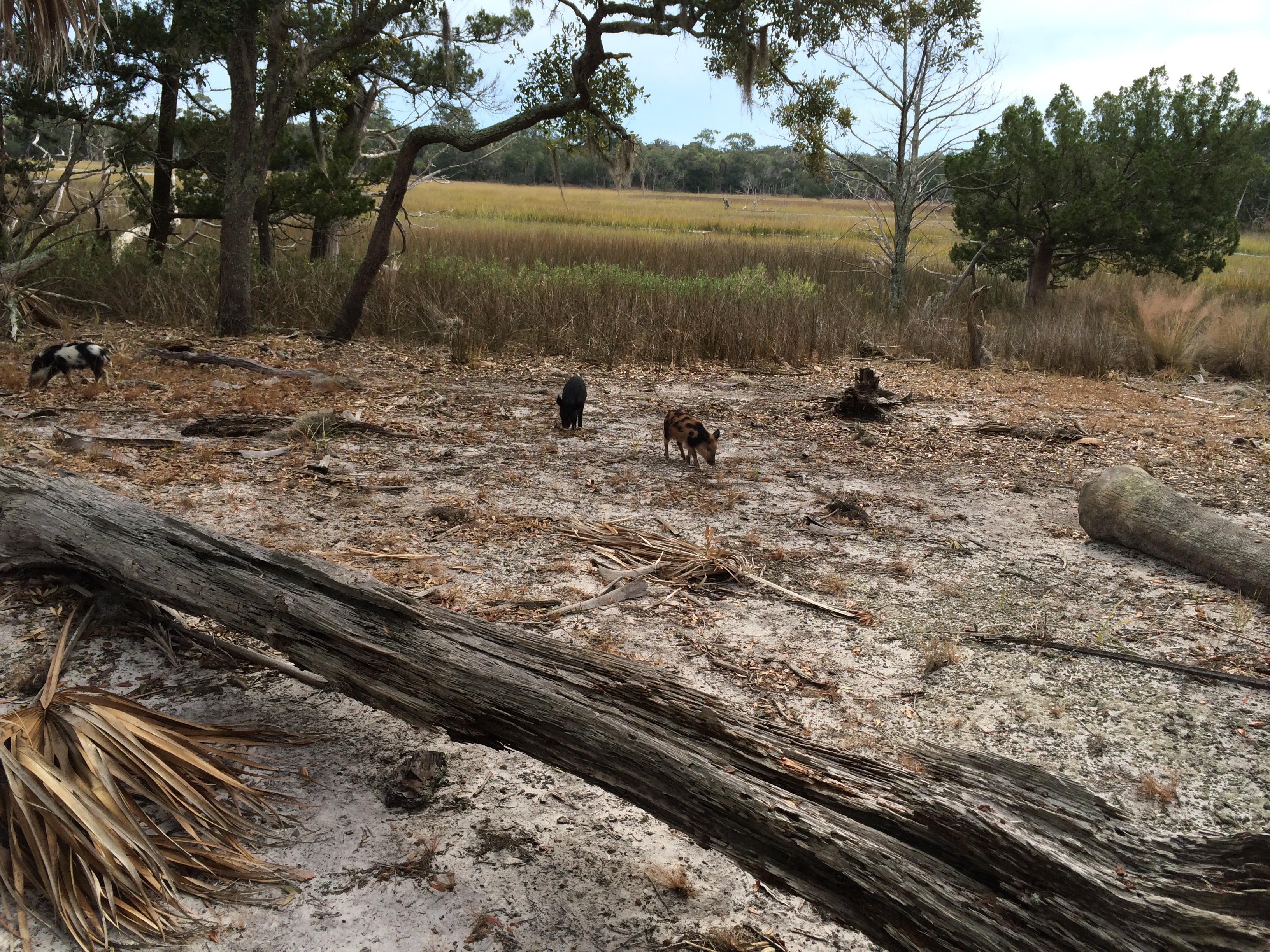
As we ate lunch on the edge of the high ground somebody noticed two wild pigs making their way through the marsh behind us.  They were feral pigs, the descendants of escaped barnyard animals, but no longer barnyard approachable (except after they’d gone by).
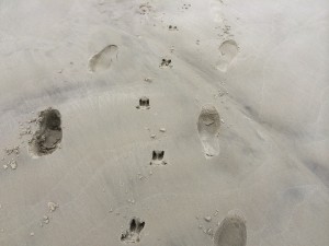
Georgia coast kayak trip 023

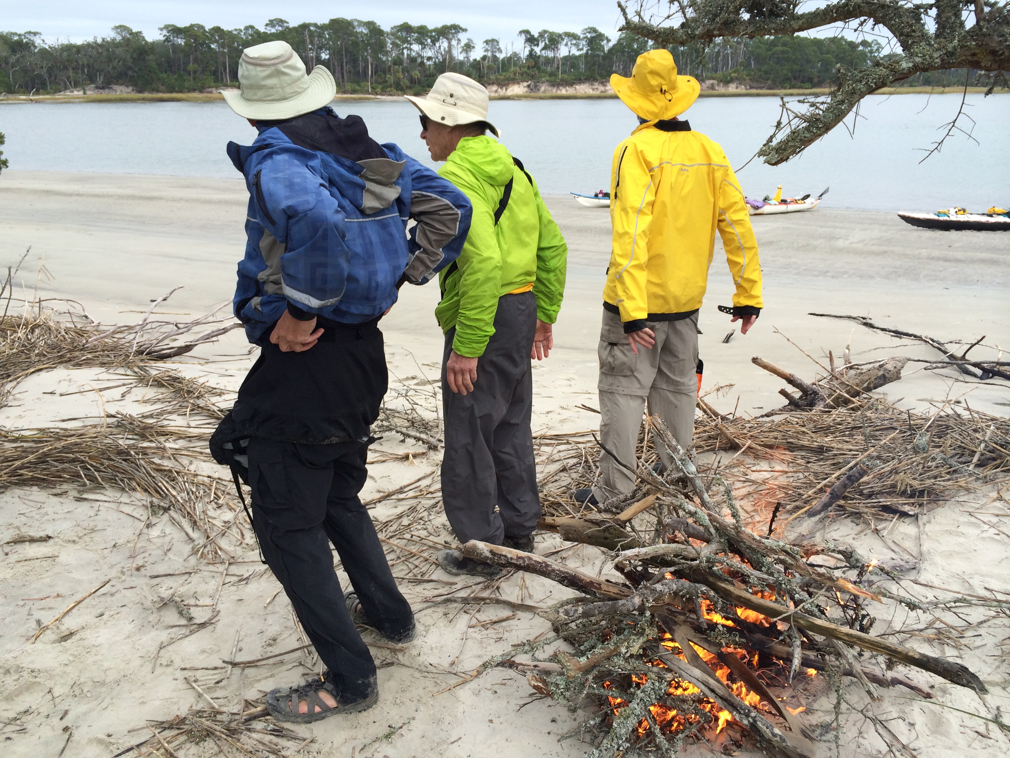
Somebody got the idea of starting a fire to stay warm and entertained while we waited for time and tide.  It was a brilliant suggestion.
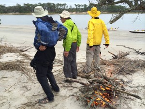
Georgia coast kayak trip 026

We crossed more easily than expected and arrived at  a place called Bradley Point, which was just inside the mouth of a creek at the edge of a live-oak forest.  We stayed there two nights, as the next day’s conditions were unfavorable and Don had built an extra day into the itinerary for just such an eventuality.

On our free following day half of us explored the island on foot–the ocean was a few miles down a path through the woods–and the rest paddled up the creek we were camping on.  I was in the latter group and left later than it, passing several of the paddlers far up it where they’d turned around.  I proceeded on a while; they said they were going ashore and would wait for me.

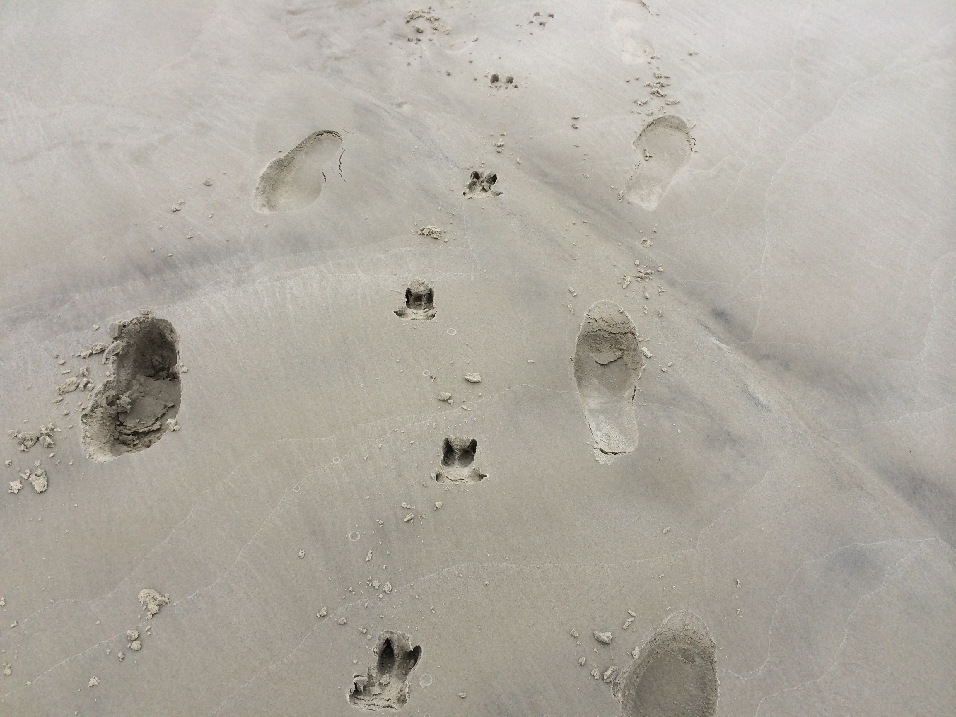
I reached the tip of a peninsula of high ground and went ashore.  As I was stretching my legs in a clearing, a piglet appeared out of the underbrush.  Then another and another; I counted seven in all.  They were tan, brindled, and black-and-white.  They were more juveniles than piglets, but far from full-grown.  It took them a long time to detect me.
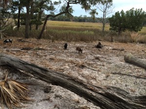
Georgia coast kayak trip 041

I paddled back down the creek and stopped where Don, Mike Tannen and Walter Brown had stopped.  I told them about the piglets.  Lacking an entree for dinner, we hatched the idea of herding them to the end of the peninsula and dispatching one.  We spread out like beaters on a quail hunt and walked toward the end of the land.  After a while Mike and Walter saw several of the piglets behind us.  This was undoubtedly the best outcome.

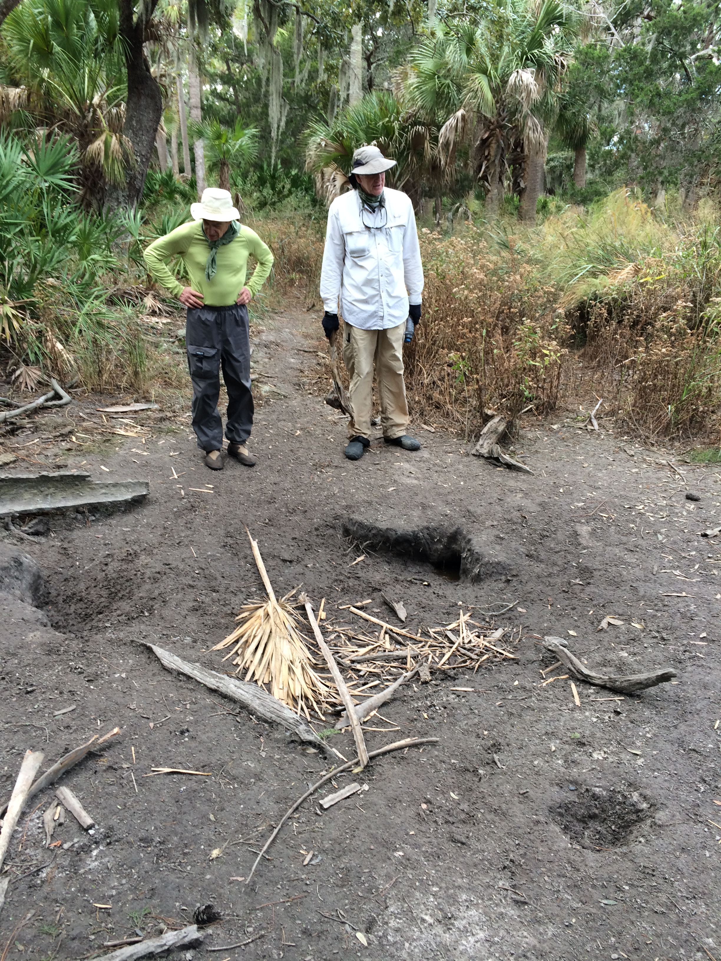
Returning to the boats, we came across a dry wallowing hole.
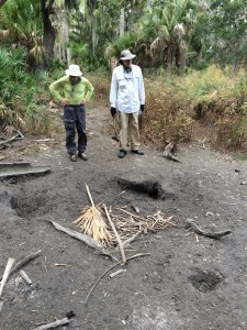
Georgia coast kayak trip 045

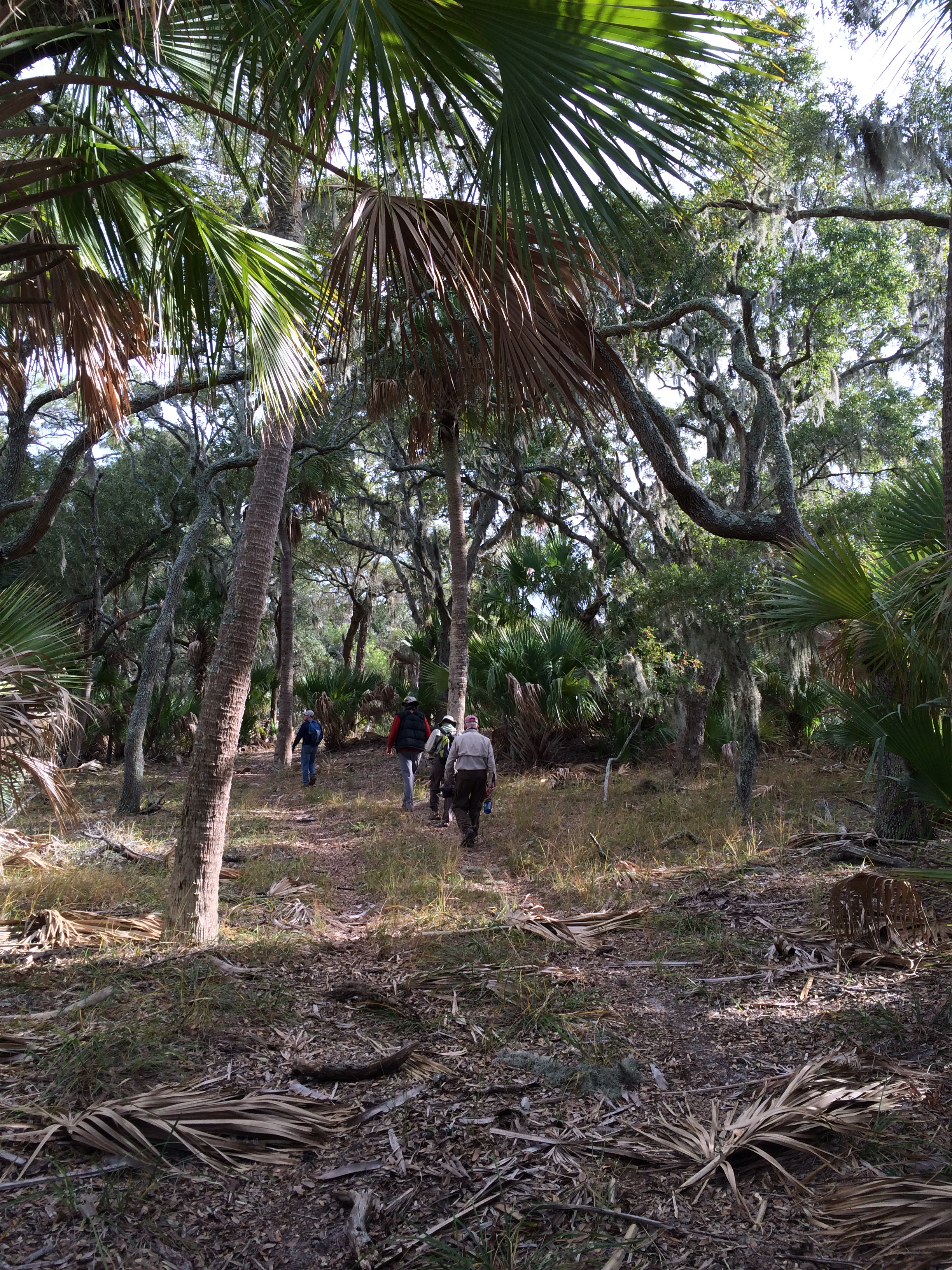
We paddled back to camp and after lunch headed down the trail toward the beach.  The path went through a forest with swamp on either side.  The trees were gnarled, shadow-throwing, and covered with spanish moss.
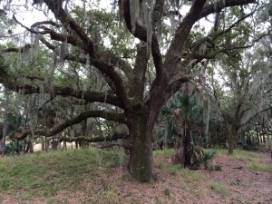
Georgia coast kayak trip 062


It was difficult to imagine how things looked 175 years earlier.  The Sea Islands of South Carolina and Georgia were prime ground for raising rice, cotton and indigo.  They had plantations with the hundreds of slaves on them and some of the cruelest conditions of servitude recorded in America.  Some islands bear evidence of this notorious history.  They have dikes and outlets from long-gone rice fields; a few even have slave cabins that have been preserved.  But there was no such evidence here.  Or at least none that we could see.
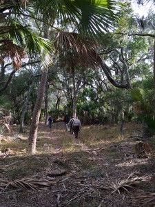
Georgia coast kayak trip 050


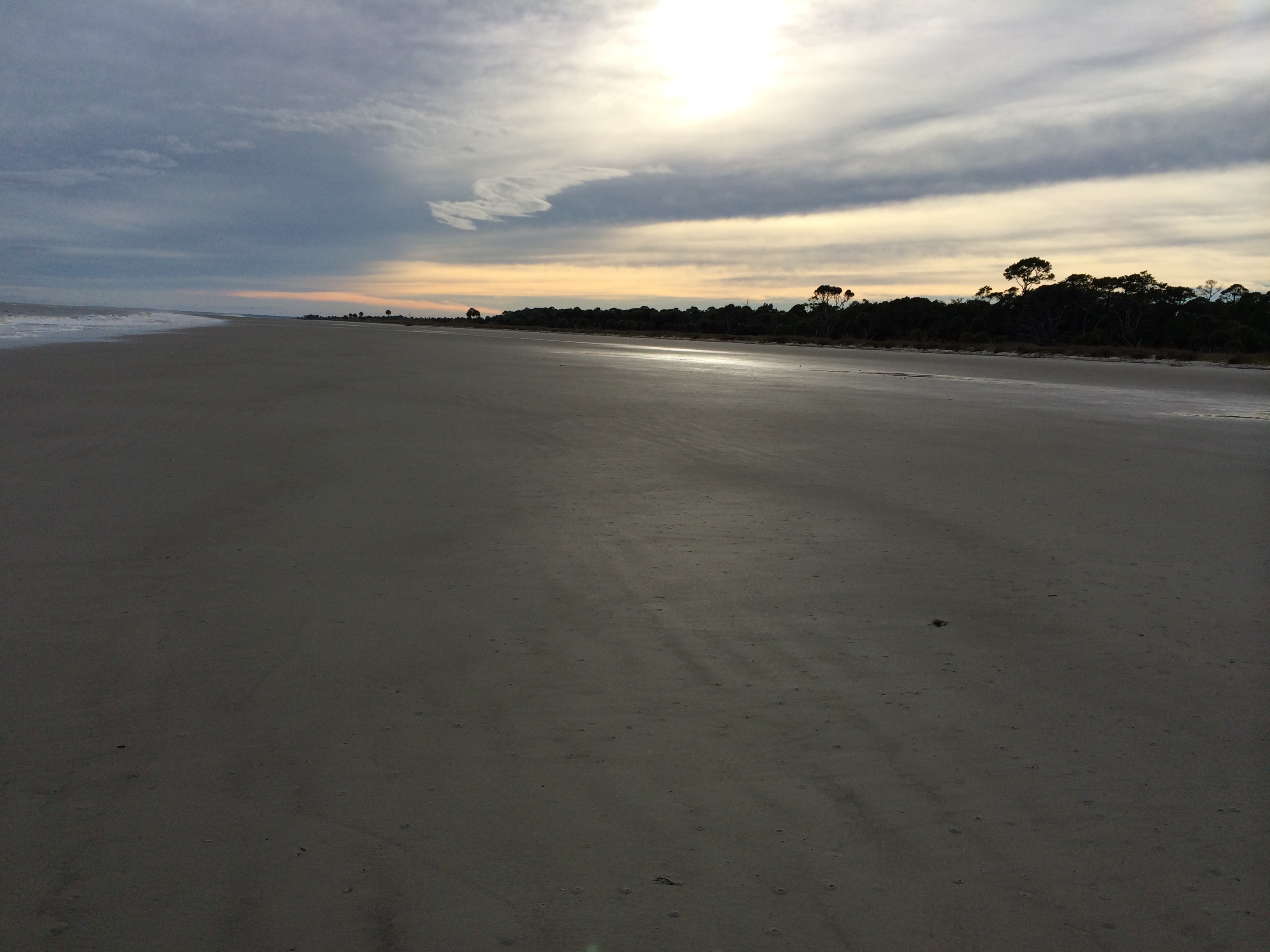
We finally got to the beach.  One of the options for the next day was “going outside”–paddling in the ocean. What we saw wouldn’t support that decision.  The conditions weren’t extreme, but there were endless ranks of swells we’d have to take abeam, with some breaking on invisible offshore bars.

But the beach was beautiful.
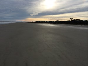
Georgia coast kayak trip 069

Back at the camp, we traded stories with our compatriots.  Bob did his Richard Avedon imitation, with Diane Stoecker posing.
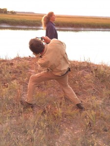
Georgia coast kayak trip 073

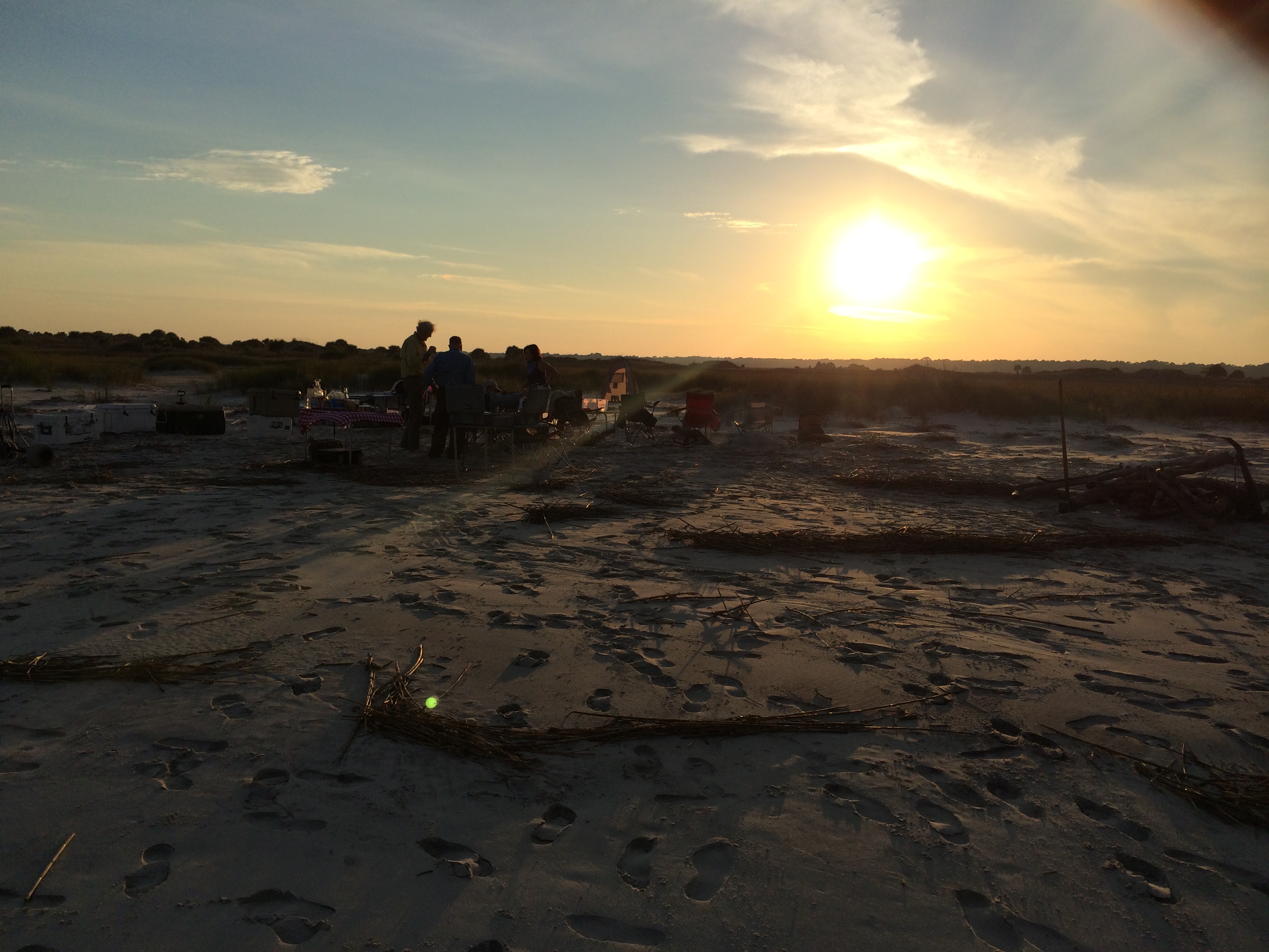
We gathered for the sunset.

Georgia coast kayak trip 072

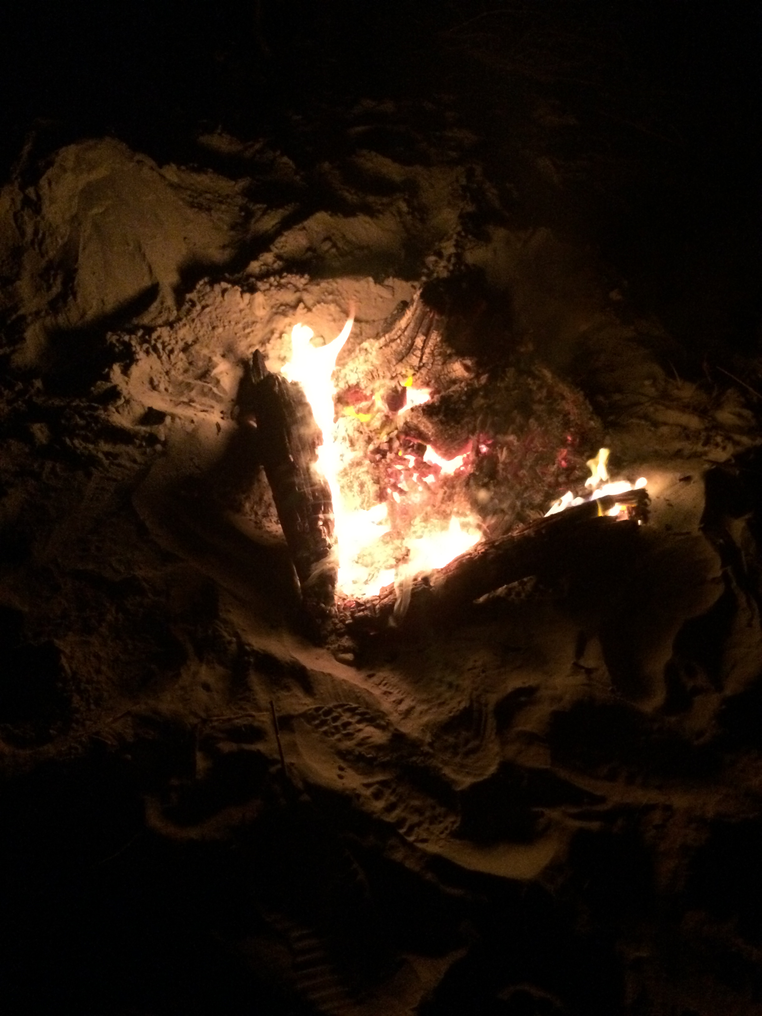
We had two kinds of oysters–roasted and raw.  After dinner, somebody read poetry.  We watched the fire.  We counted ourselves among the lucky.
 

Walk ‘n Blues

The trip ended on a Thursday morning after a big dinner the night before. The members of the group dispersed in various directions, many staying longer in Europe. I stayed an extra day in Genoa and Ellen and Jim stayed two.

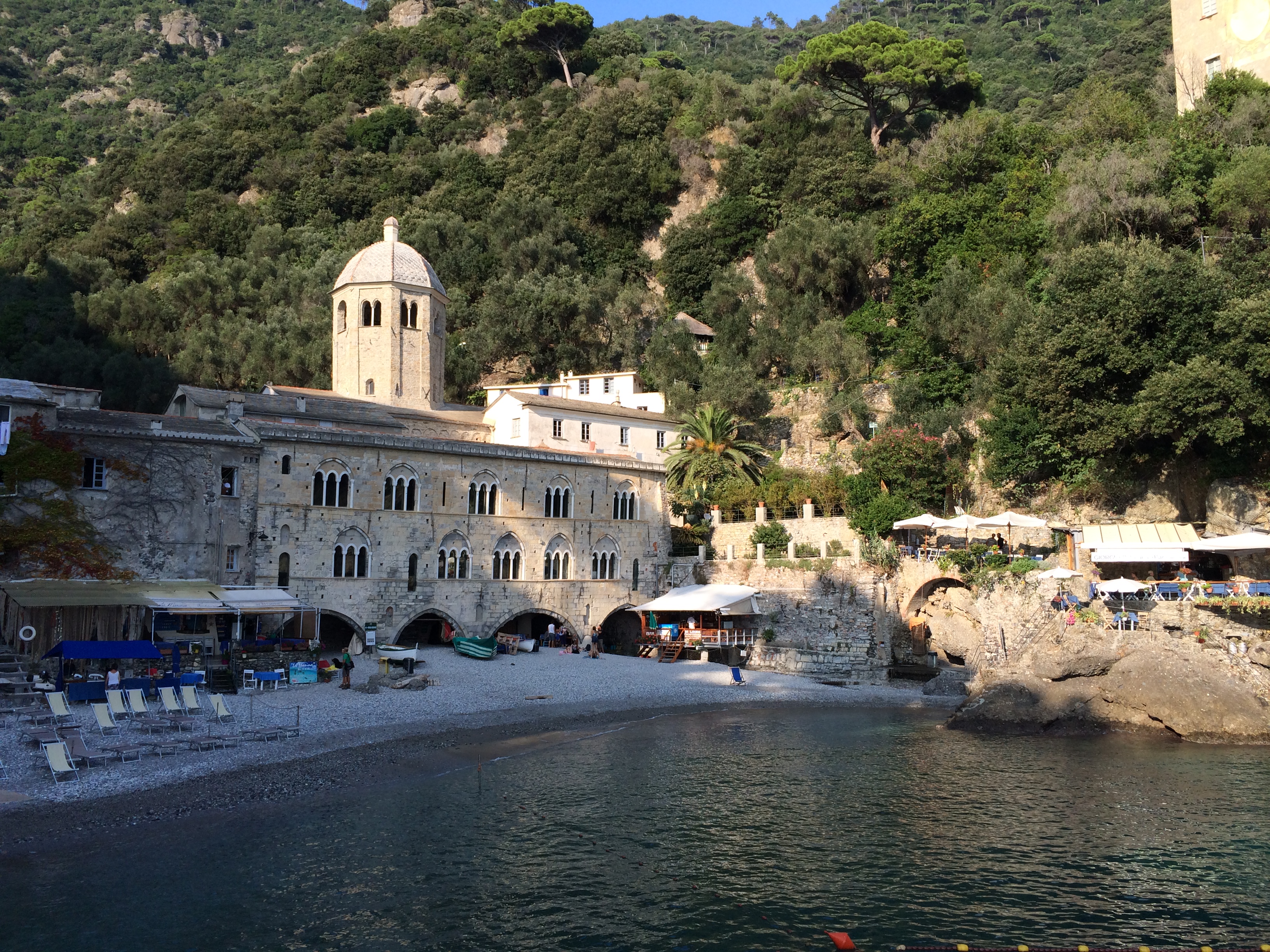
On my last day we took an outing Ellen had found in her research.  It was to the Regional Natural Park of Portofino, an area between Genoa and Cinque Terre.  We took a half-hour train ride to the town of Camogli and then hiked along the coast to an abbey whose origins were in the 11th Century, at a place called San Fruttuoso.

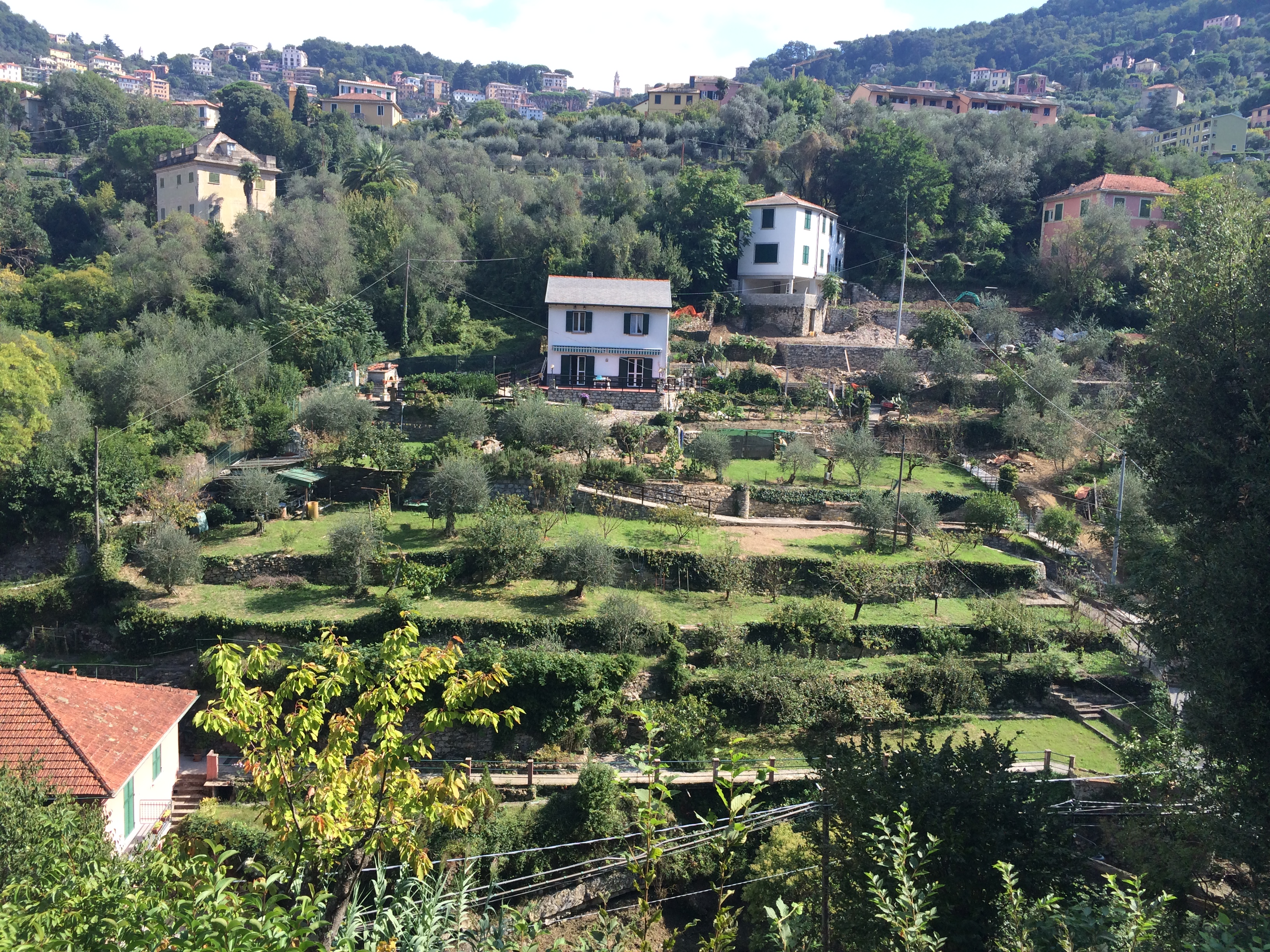
We climbed out of Camogli on stone steps and ramps, past terraced gardens and olive groves.

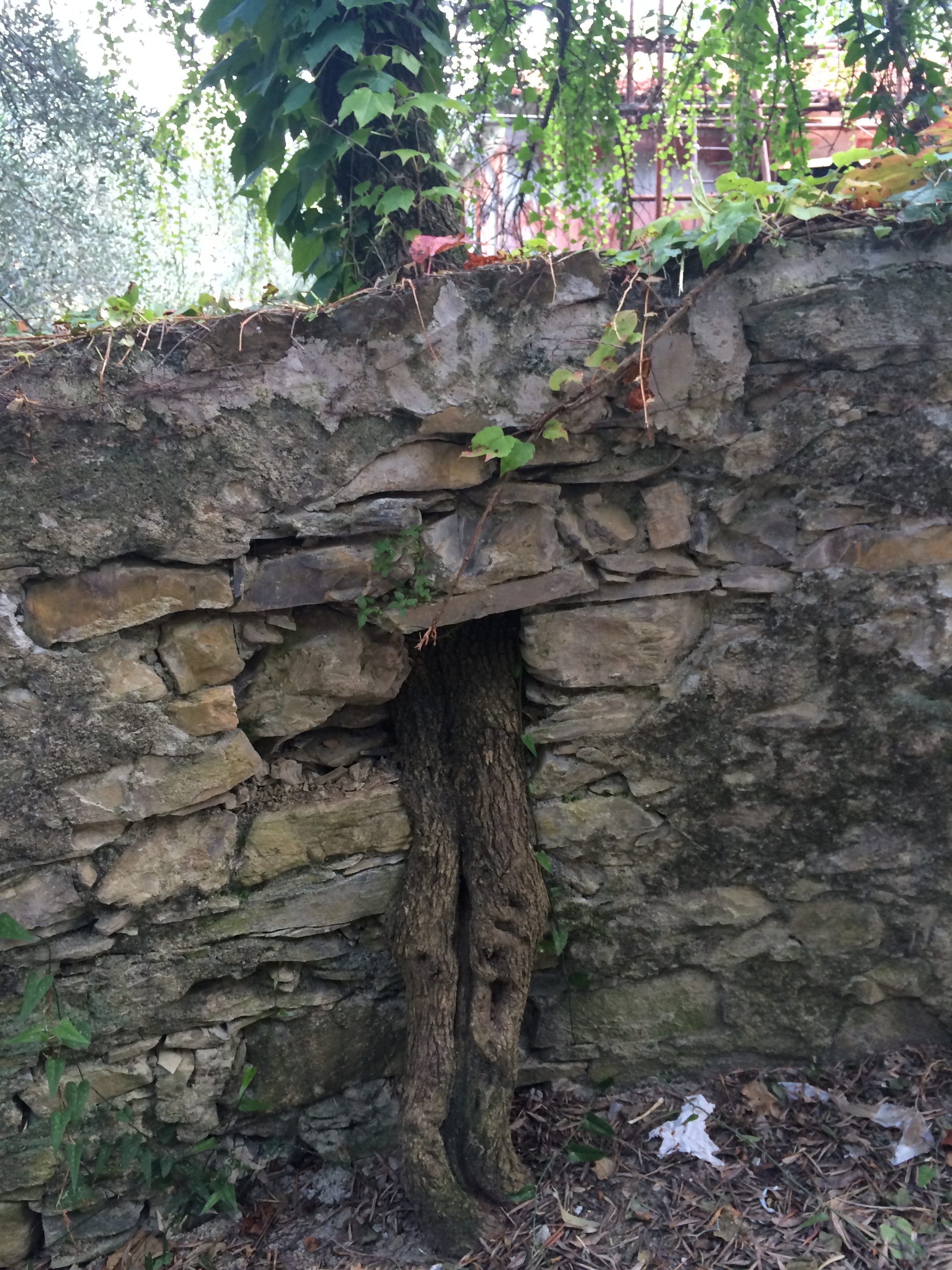
In one place the wall along the path was built so that a tree could grow through it, suggesting that parts of the path were former terraces.

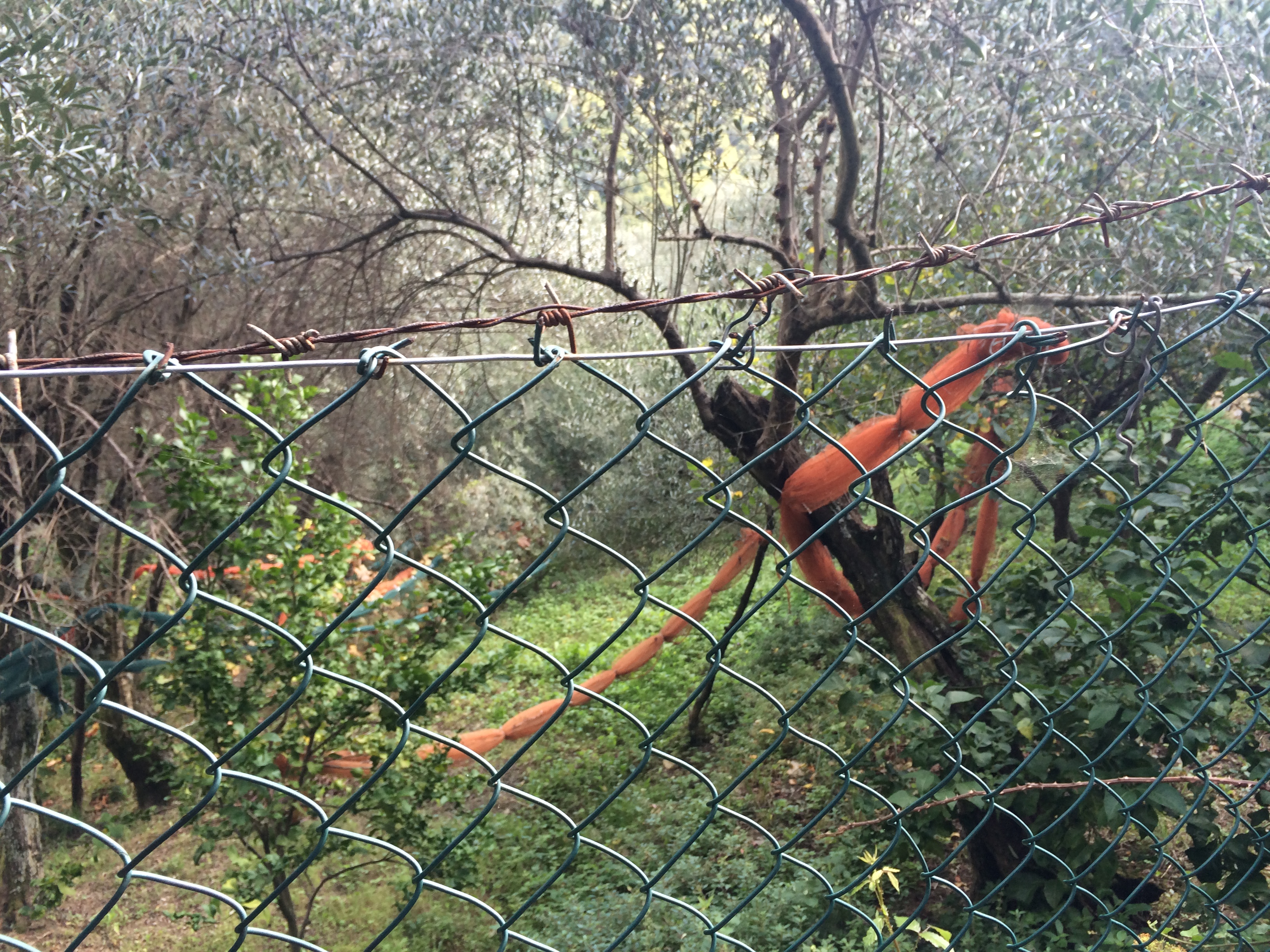
Nets that catch falling olives were furled; it wasn’t harvest time.

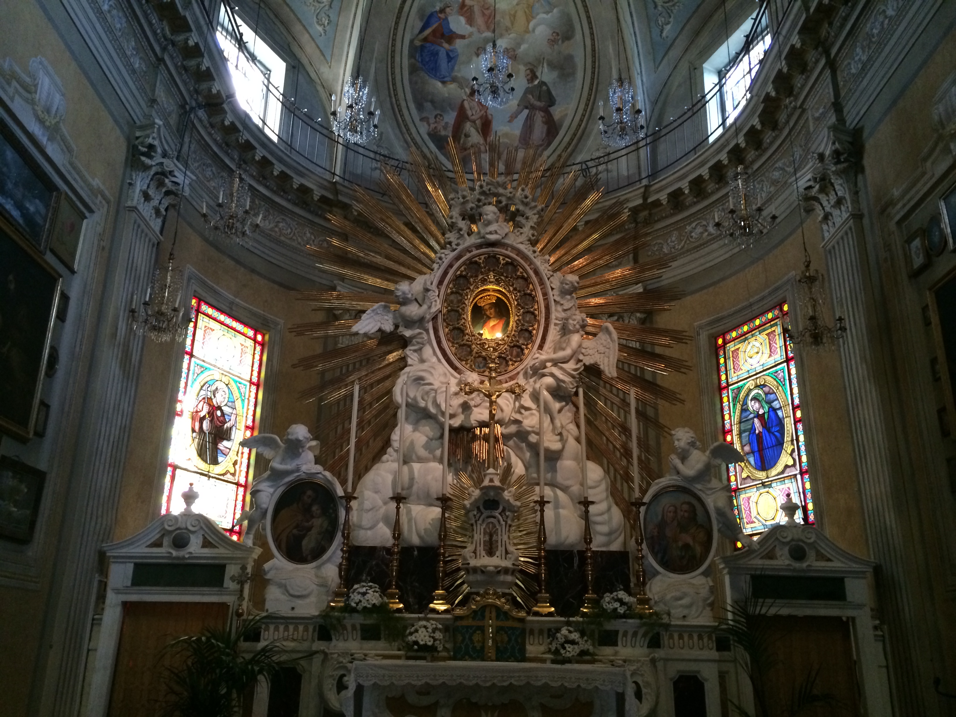
The path leveled out at San Rocco, which had a church whose idolatrous decoration helps explain why many Protestant houses of worship are plain and simple.  There were a few houses, shops, and cars too, so there was obviously another way to get there other than the one we took.

A woman at the tourist office in Camogli had told us there were two trails to San Fruttuoso—an inland one that was manageable, and one along the coast that required holding onto ropes in places.  She recommended against that one, but we decided to take it anyway.
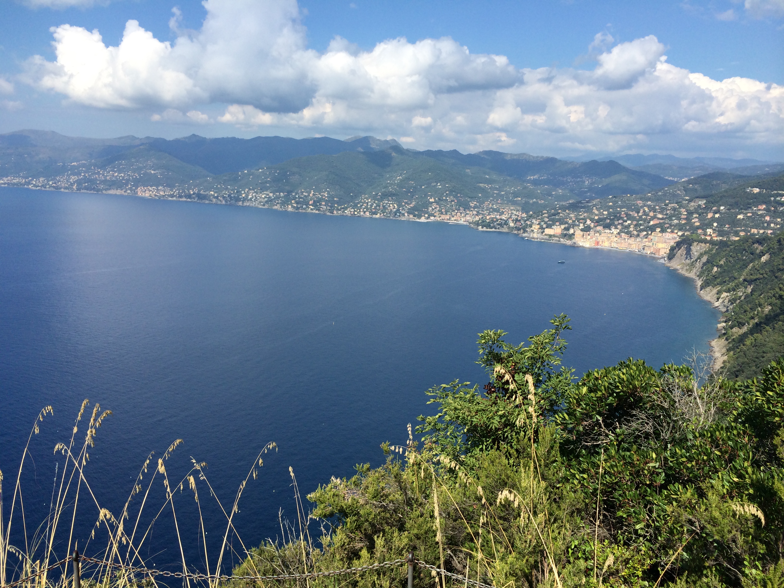
It was steep in places (and flat and downhill in others), with spectacular views.
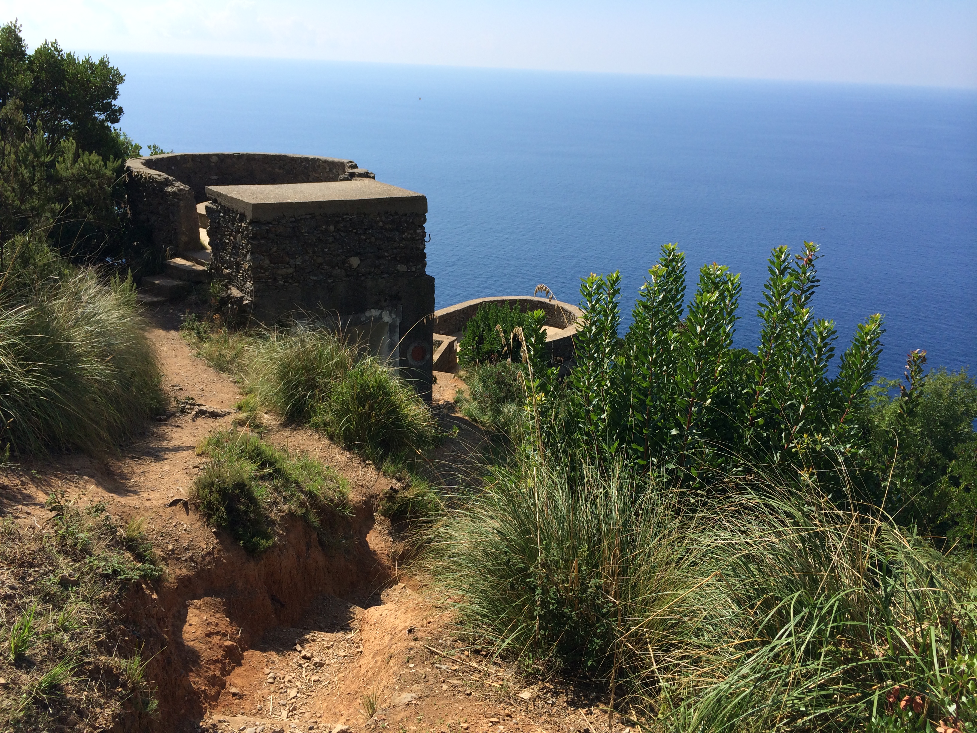
We passed some artillery emplacements with no signage and of uncertain age.

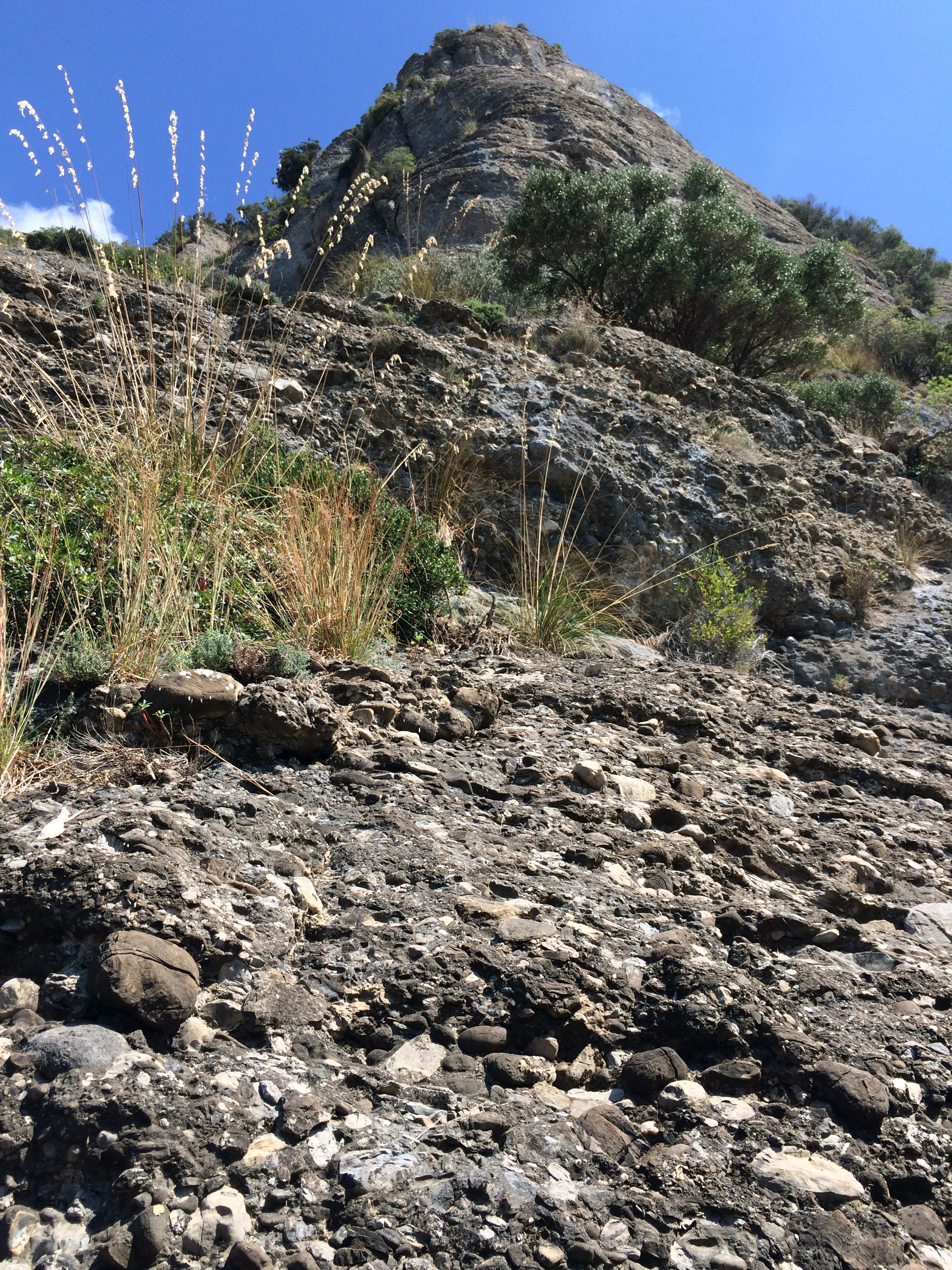
We skirted the base of a cliff made of pudding-stone—rounded stones of varying size cemented together by natural mortar.

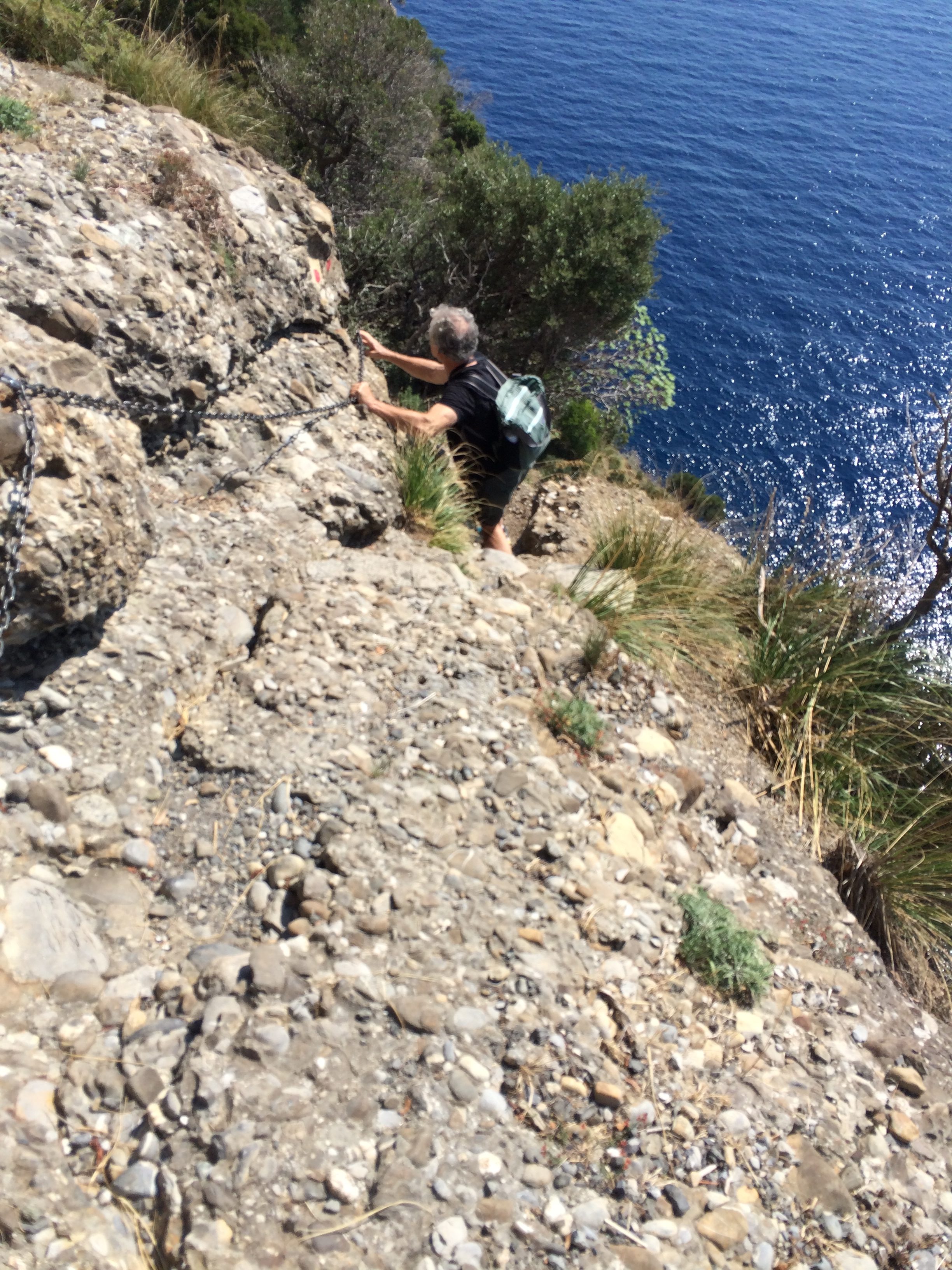
Where the path was extra-steep, canted laterally, or beside a drop-off, lengths of chain had been fixed to the rock. It was possible to get by without them, but they proved reassuring.

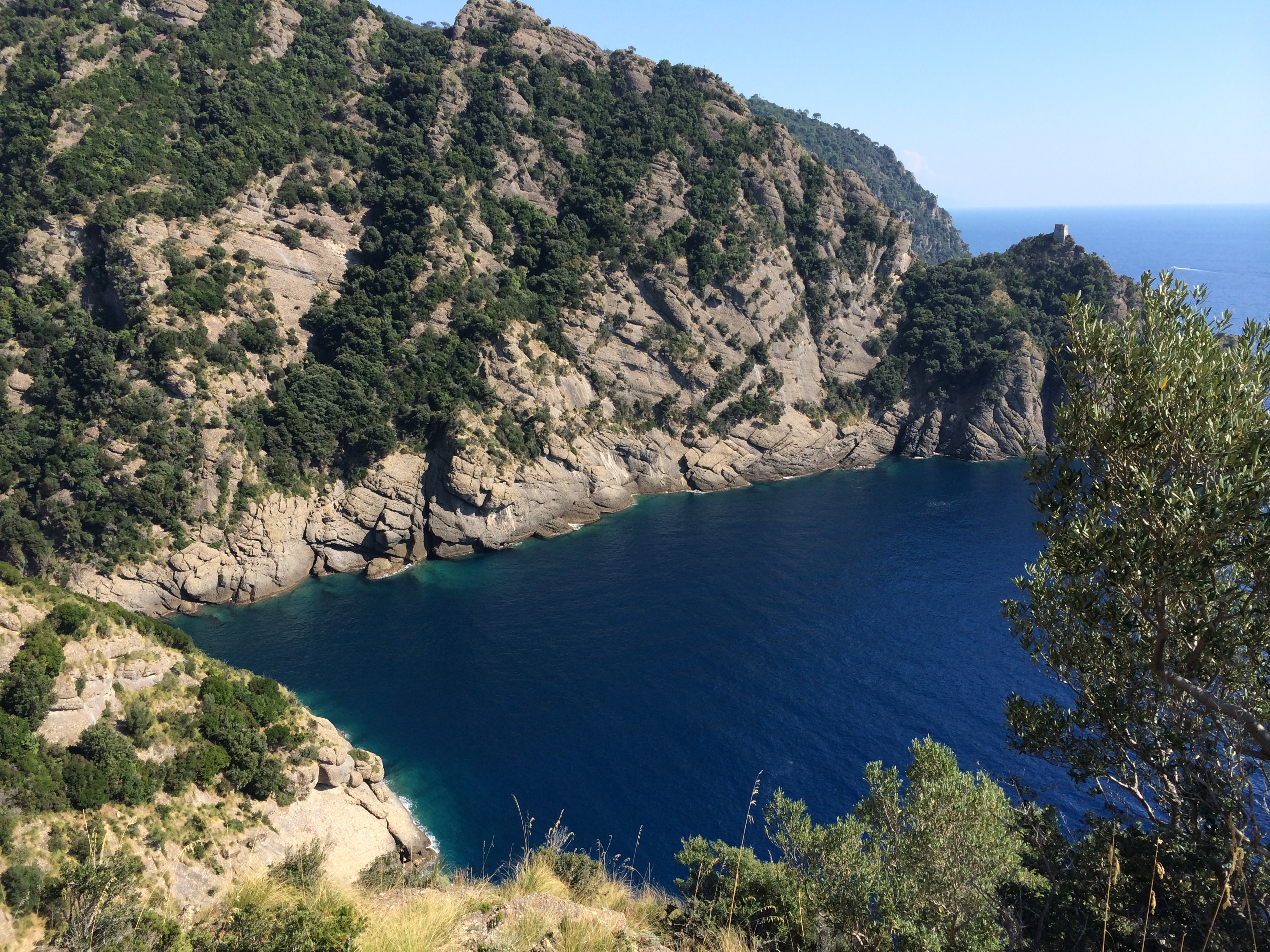
We had lunch—focaccia, beer and apples—sitting on an outcrop and looking down on a cove of azure water lapping the tawny shore.

It was a spectacular hike—three hours of hard walking with views as beautiful as we’ve seen.

When we got to San Fruttuoso we poked our head into one of the chapels but didn’t pay for the full show. Instead, we went down to the stone beach and swam and lay in the sun for the hour until we caught a boat back to Camogli.

The two food-writer comedians in the movie “The Trip to Italy” visit San Fruttuoso.  The place is better known for something we didn’t see.

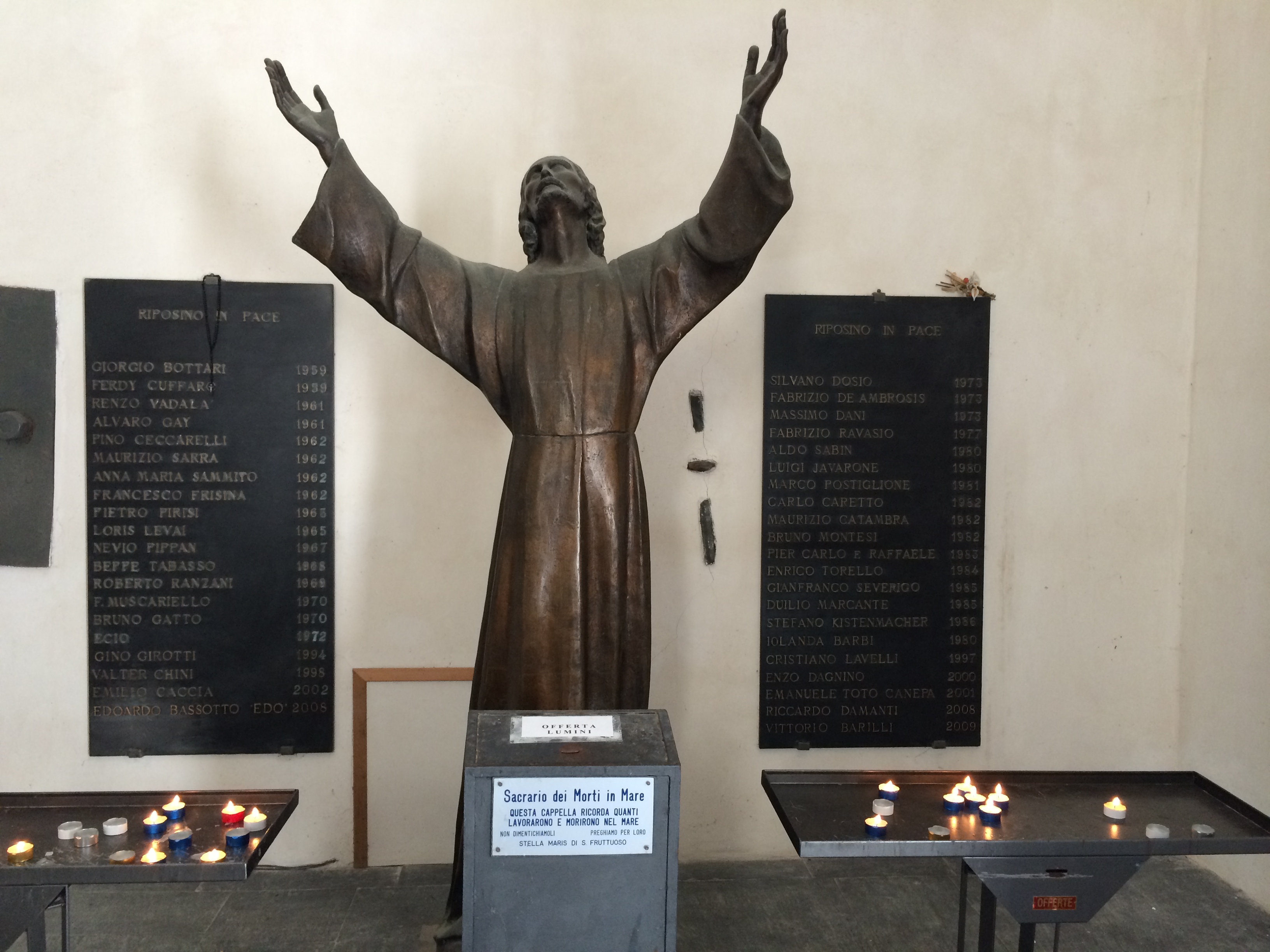
Offshore is a statue of Christ in 50-feet of water.  It is a memorial to people who’ve died diving.  It was placed in 1954 near where the first Italian to use scuba gear, Dario Gonzatti, died in 1947.  It can sometimes be seen from the surface.  This is a model of it in the abbey.

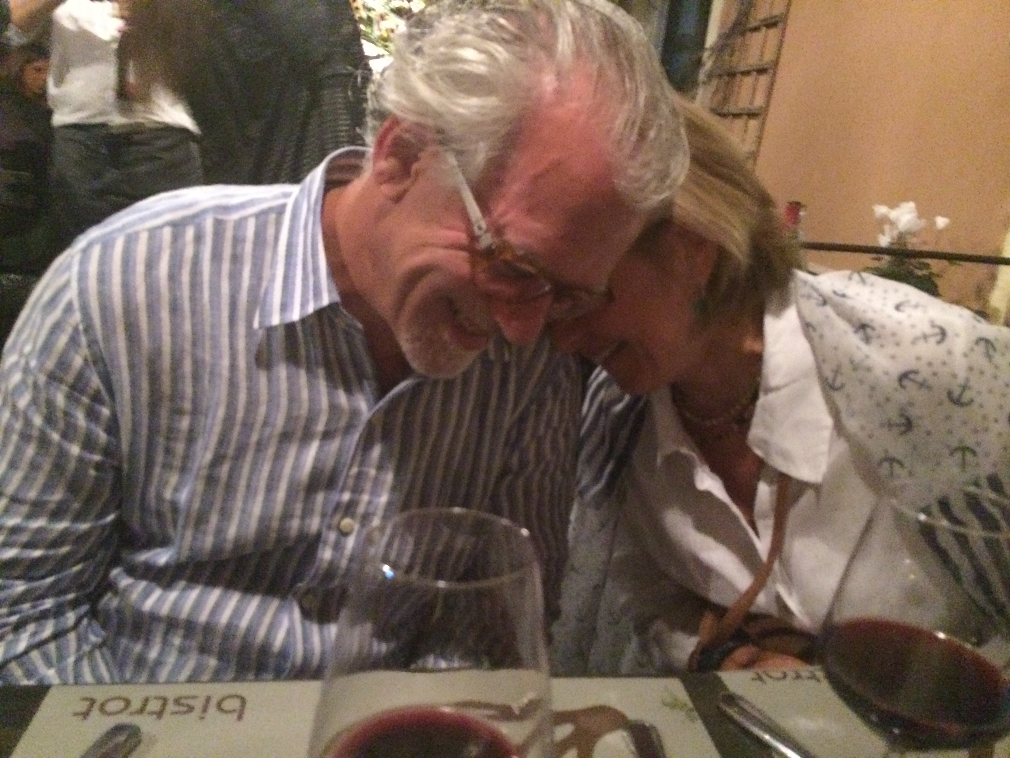
Flushed with a sense of accomplishment, we went prowling for the right place to eat that night when we got back to Genoa. We found it.  It was a restaurant called “the Cardamom” (reason not obvious) near the hotel we’d moved to after the tour ended.

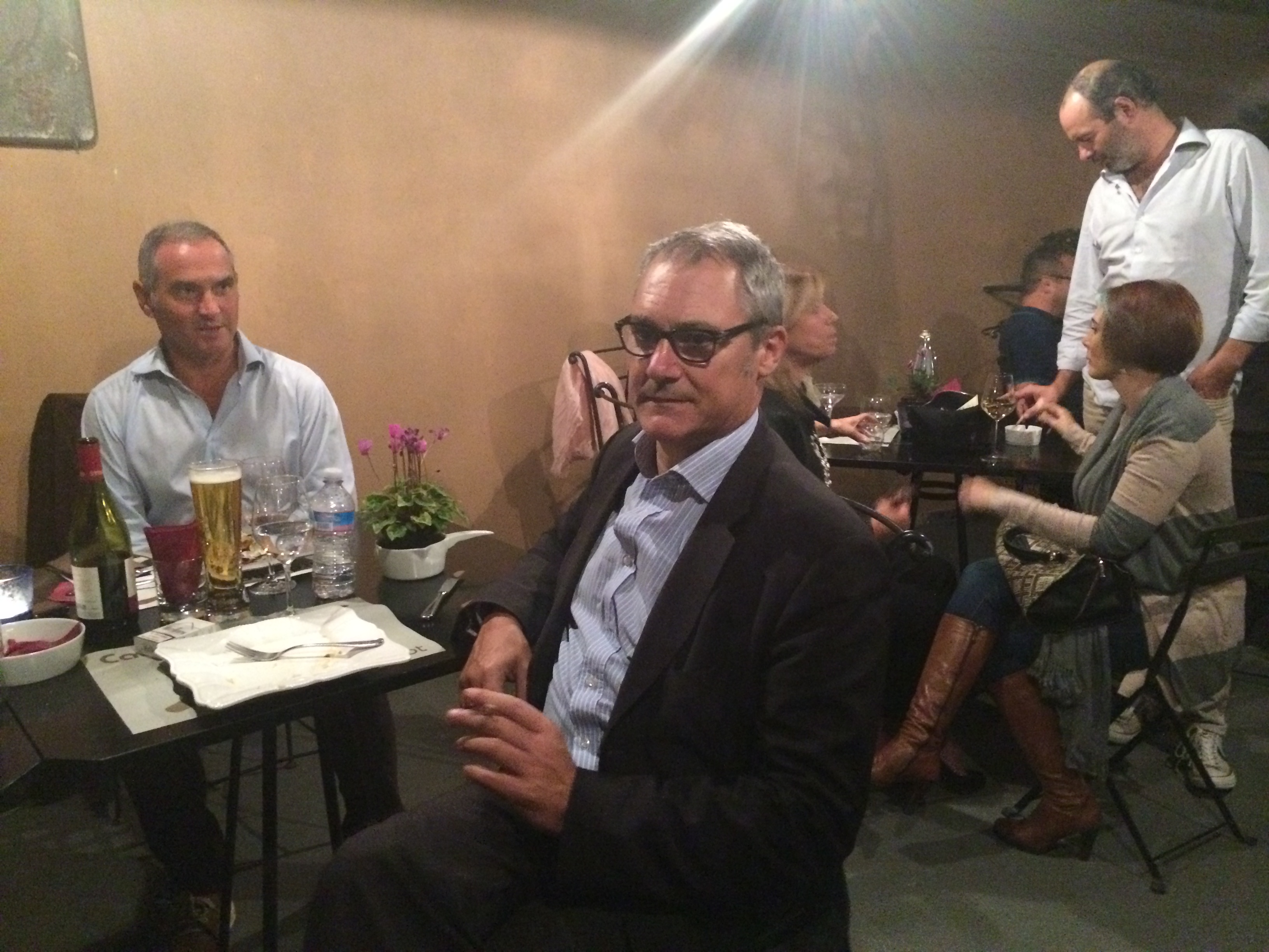
It had a couple of bright but stuffy rooms and an outdoor seating area, all below street level. We decided to eat “al fresco,” which in Italy now means “with smoke.”

Just about everyone at the outdoor tables smoked. And they smoked the old-fashioned way, with cigarettes between courses. We didn’t mind this.  In fact we had moments of hilarity as we commented on our off-island identity.

We got the last available table. It took us a while to get waited on. Nobody left when they finished eating.  And more people arrived.

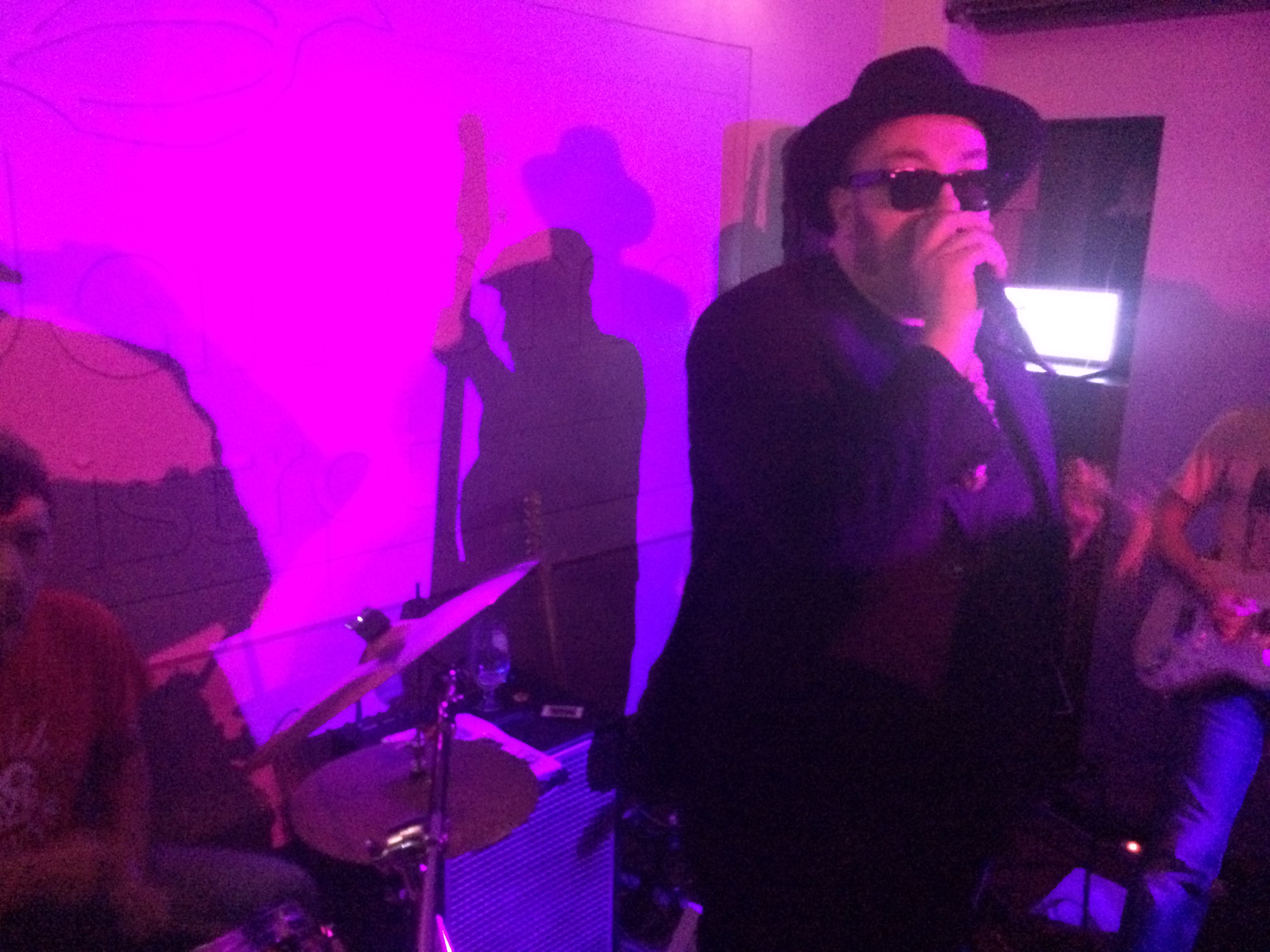
It turned out Thursday was live-music night at the Cardamom.  Tonight it was going to be the blues. The band, Snake Oil Ltd., was a local one and featured a singer who’d been in a better-known group called Big Fat Mama. (All of this from our waiter, who also smoked).

They started playing about quarter of eleven. They were pretty good. We actually went inside and danced.

Dancing to a man dressed like Jake Blues and singing Buddy Guy—it was a scene designed to ease us out of Italy and get us on our way home.

The mysterious Nuragi

We spent our last day in Sardinia sightseeing, not paddling. The main destination was an archaeological site in an area called Arzachena once inhabited by the Nuragi people.

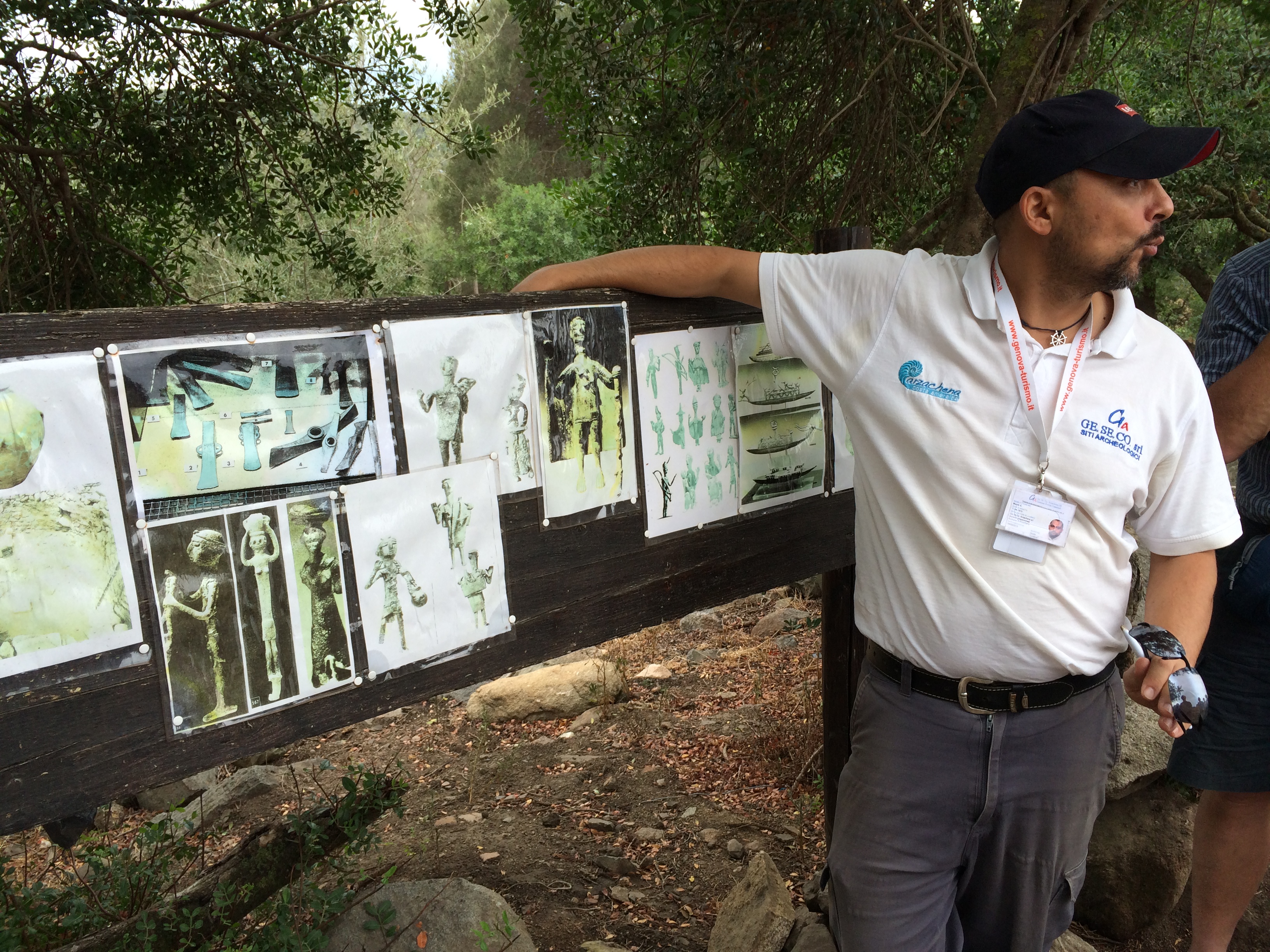
I had never heard of the Nuragic Civilization. As described by our guide, the chief archaeologist of the site, the Nuragi inhabited a pre-Christian island Eden, a Thousand Year Reich of peace and prosperity in the Western Mediterranean, a model of egalitarianism and possibly even democracy a world apart from the war and autocracy to the east. (See the Old Testament for the latter.)

I suspect much of that is exaggeration and Sardinian chauvinism.  The guide, Mauro, was intensely proud of what his region was and is.  But given his credentials, some of it must be true.

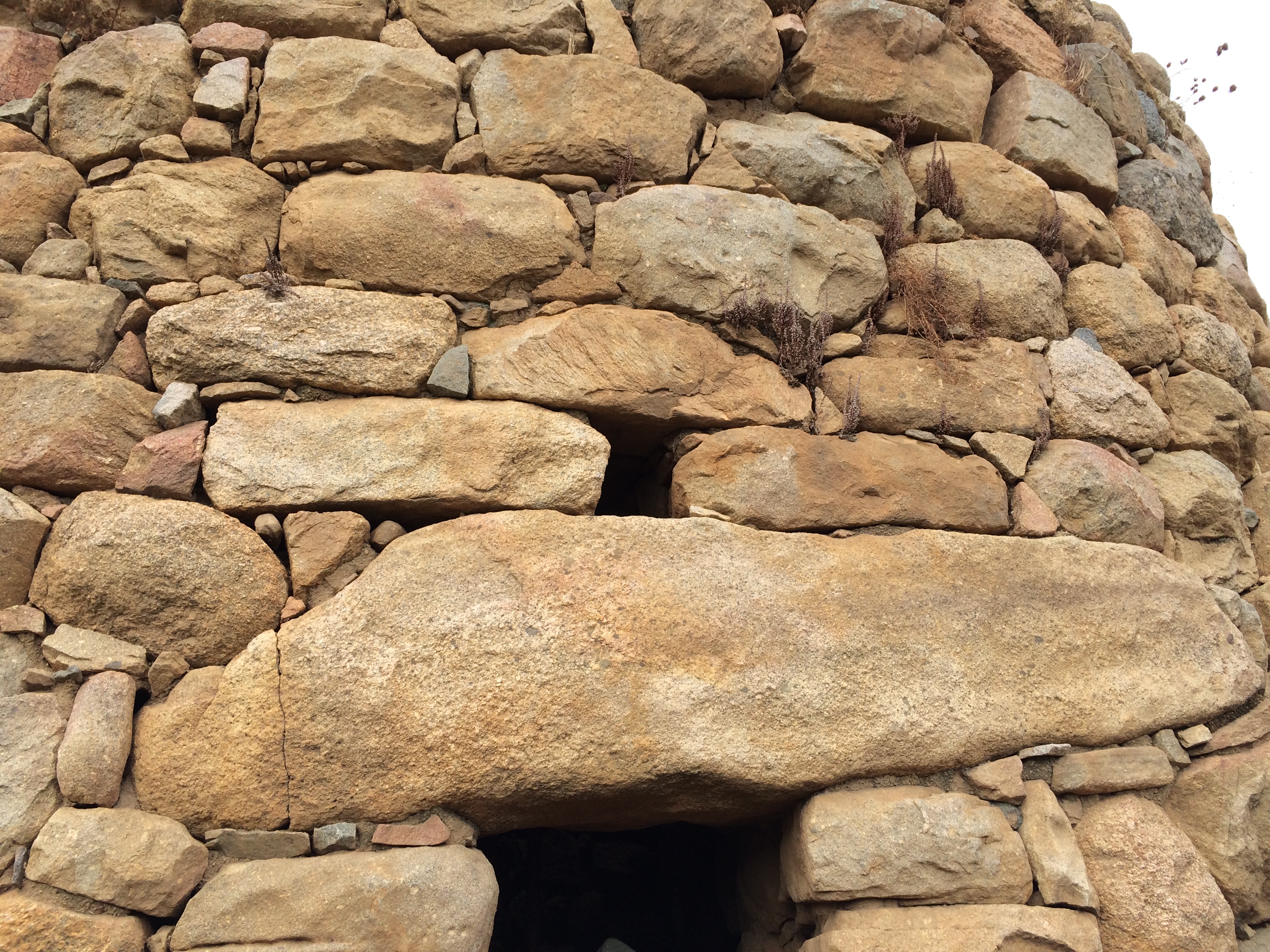
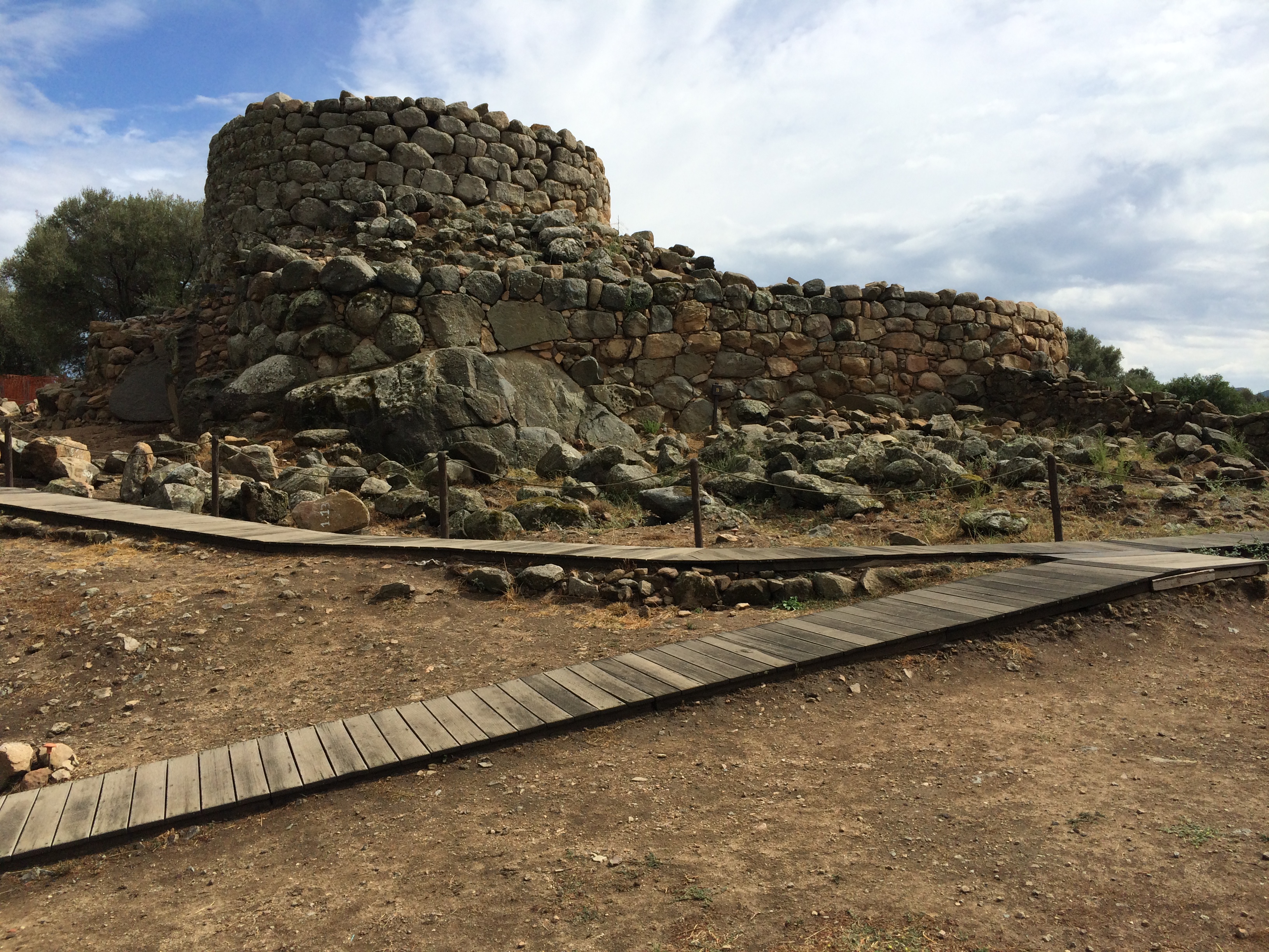
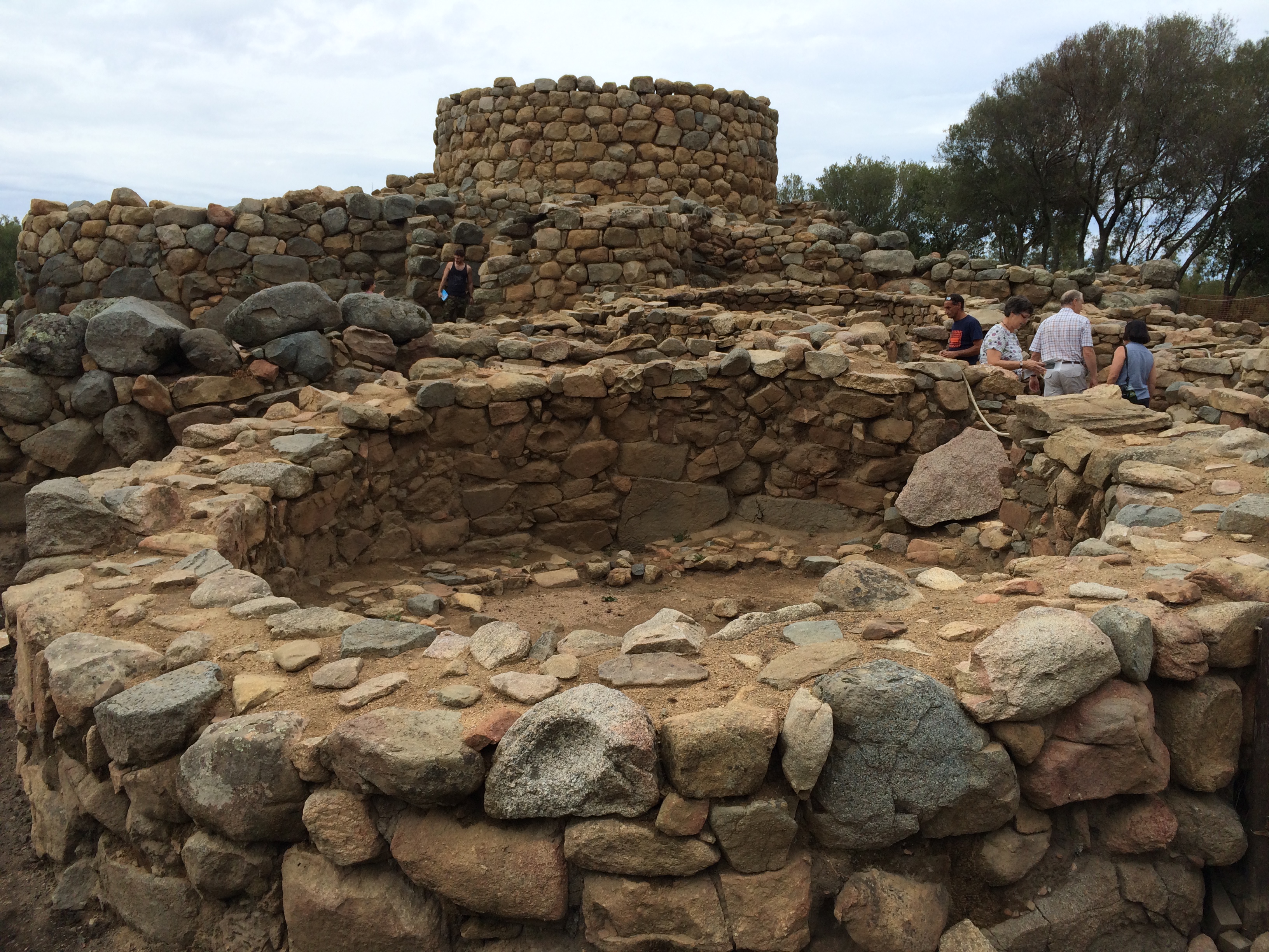
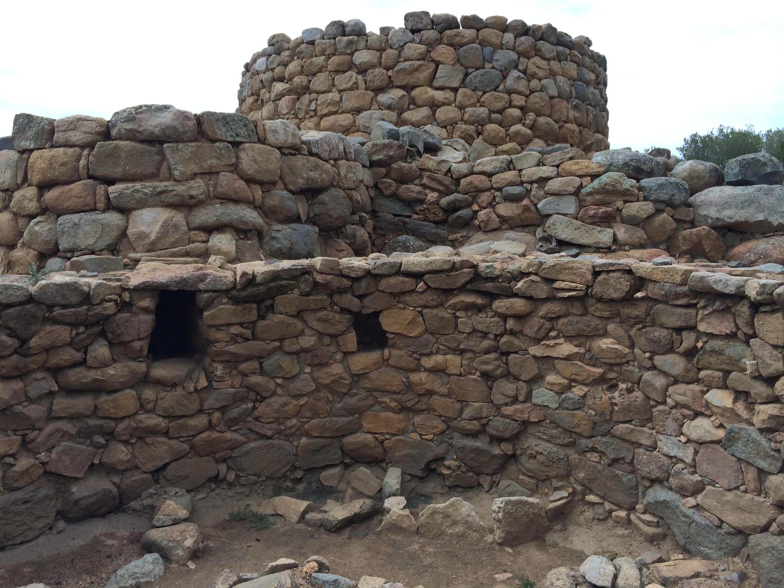
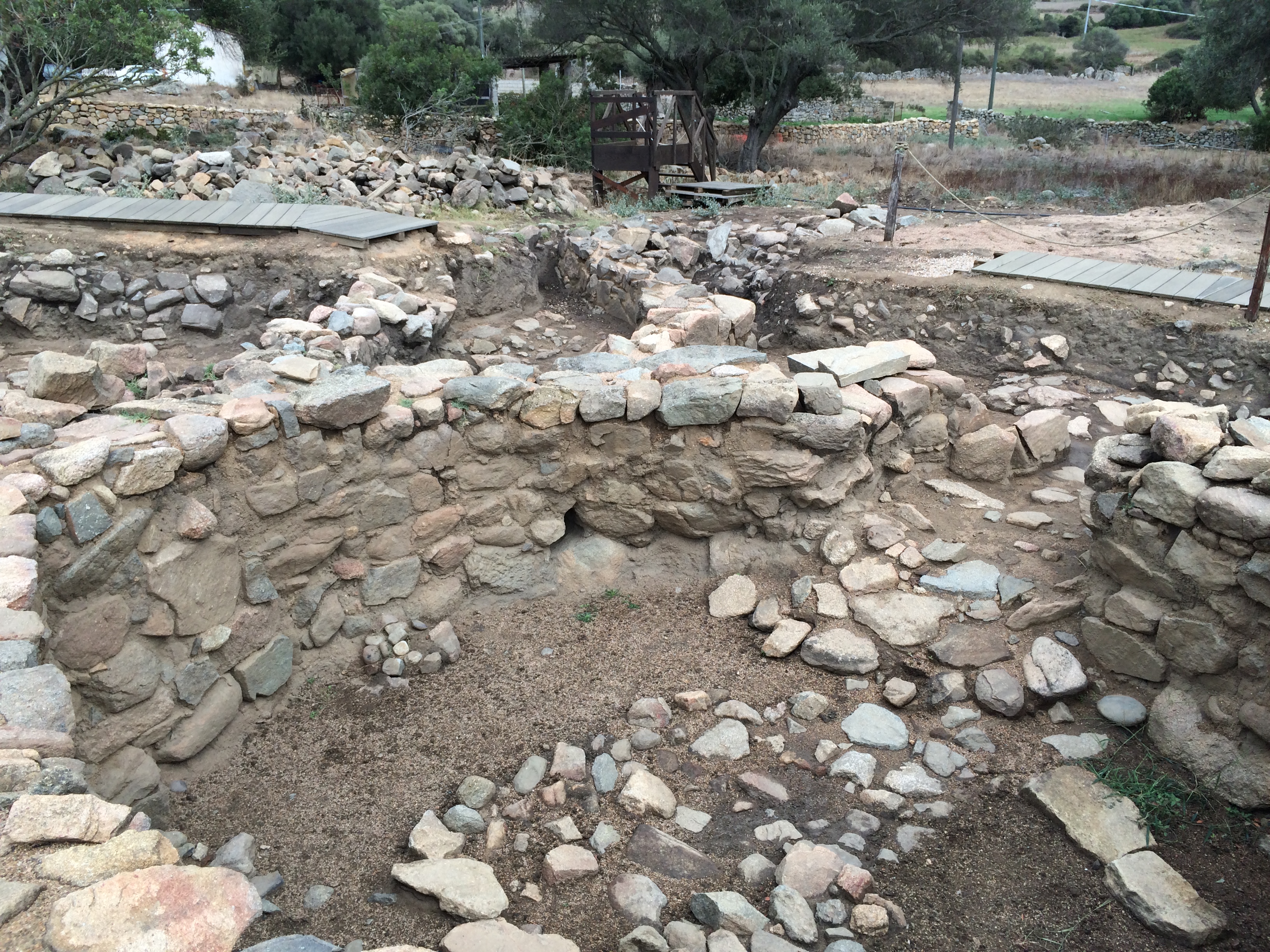
The Nuragic Civilization existed from 1700 to 500 BCE, beginning in the Bronze Age and ending in the Iron Age. It’s distinctive architectural feature is the nuraghe, a conical building with a small flat, or sometimes bluntly rounded, top.  It is made of native  granite. There is no mortar. The stone is laid in overlapping courses, which distributes the weight laterally as well as downward.

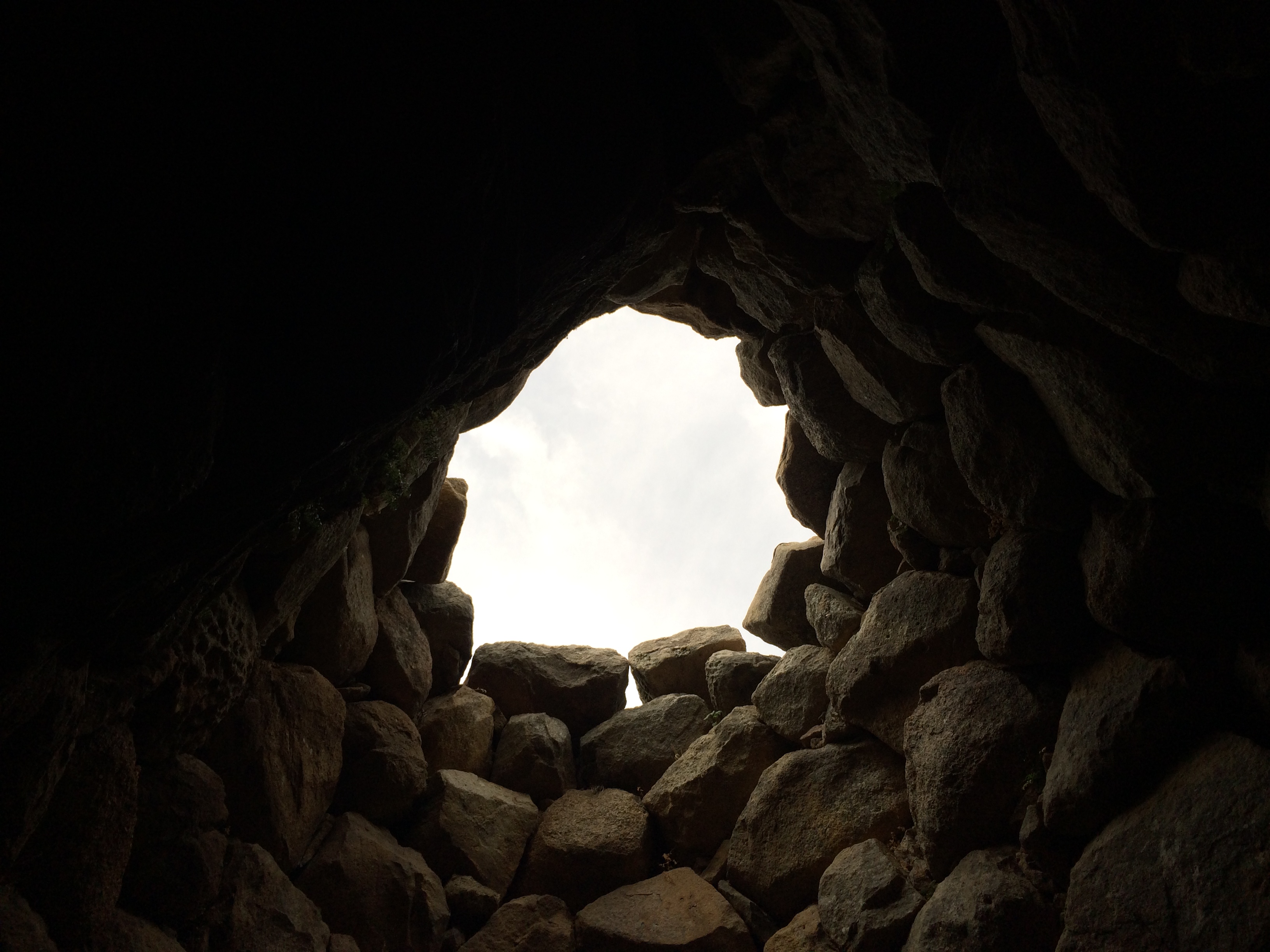
From the inside the structure tapers upward in a classic beehive shape. It is finished with a capstone that is not—as with an arch’s keystone—essential for the building’s stability. Some nuraghes had two storeys—one beehive super on top of another.

The purpose of a nuraghe wasn’t clear from the tour, or at least not to me. Mauro went to lengths to say they weren’t castles. There wasn’t enough room in them to house the village’s people, and there aren’t obvious features for armaments.

At least part of their purpose was to mark settlements, link communities visibly, a provide a sense of cultural unity.

A pamphlet published in 2003 (before much of the recent excavation) and sold at the ticket shop said that while their precise use isn’t clear, archaeologists agree they “were buildings of a civil and military nature, destined in particular for the control and defence of the land and the resources on it.”

The people who built them were indigenous Sardinians, or at least not known to be immigrants. (Except for East Africans, we’re all immigrants). DNA from Nuragic skeletons suggests modern Sardinians descended from them, our guide said.

About 8,000 nuraghes survive, although few are complete. Many are in complexes with three or four others. (The largest, found only four years ago, has 15 towers).   In many, a large central tower is attached to smaller satellite ones, like the ones at the corners of forts separated by walls, except that here there are no walls.

Nuraghes exist only in Sardinia (mostly in the north) and in southern Corsica.  They bear some resemblance to smaller  round-topped, dry-stone buildings in France (bories), and in Scotland and Ireland.

Mauro said there are three reasons the structures are still standing.  First, Sardinia has been largely peaceful for the last 4,000 years. Second, the island isn’t earthquake-prone. Third, the prevailing wind from Corsica has buried many of the buildings in fine sand, rendering them protected and invisible.

The one we visited was covered except for its top until 1989. An open hole down into the structure was thought to be a place where prisoners might be thrown. As a consequence the spot, popular for picnics, was called “la Prisgiona.”


The top storey of the nuraghe was dismantled in 1820 when the Savoy family, from the mainland, took control of the island. Under its administration, people were instructed to delineate farm plots; before that the land was held communally. The inhabitants cannibalized the towers for stones for walls and boundary markers.

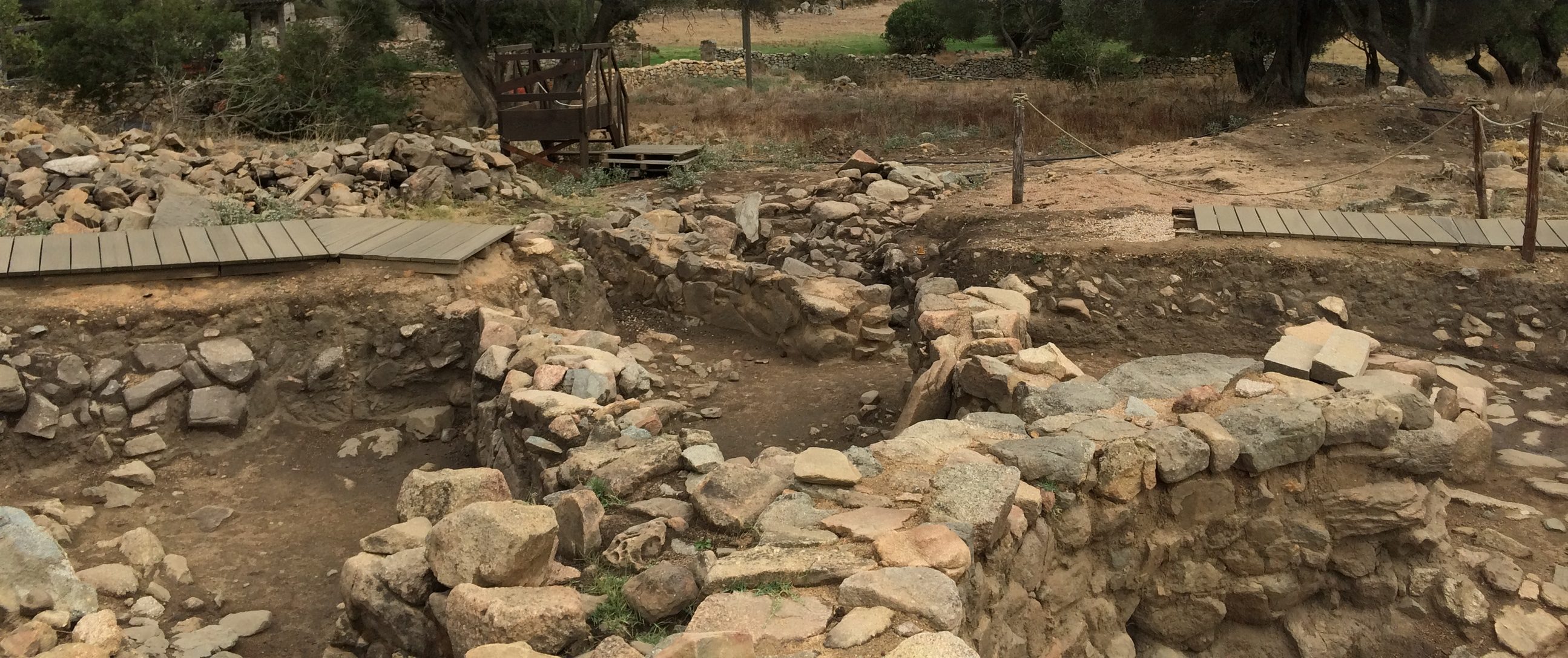
The excavation, which had just ended for the season, had slowly uncovered the tower.  A bunch of surrounding structures, nearly all round, were thought to have been workshops or mercantile establishments. A well 30-feet deep contained 16 vases, 2 copper rings and 2 bronze rings—apparently left there as some kind of offering. About 500 to 800 people lived in the settlement, occupying farther flung dwellings. The footprints of some have been found.

One of the more interesting structures, common to nearly all settlements, was a “meeting house.” It had a bench circumscribing the inside wall, and a built-in stone table in the middle.  Found in the house here were 12 cups, a vase and a serving spoon. Mauro said archaeologists believe the meeting houses were places of decision-making, and that the lack of preferred seating or a throne suggests a political structure built on consensus and equality.

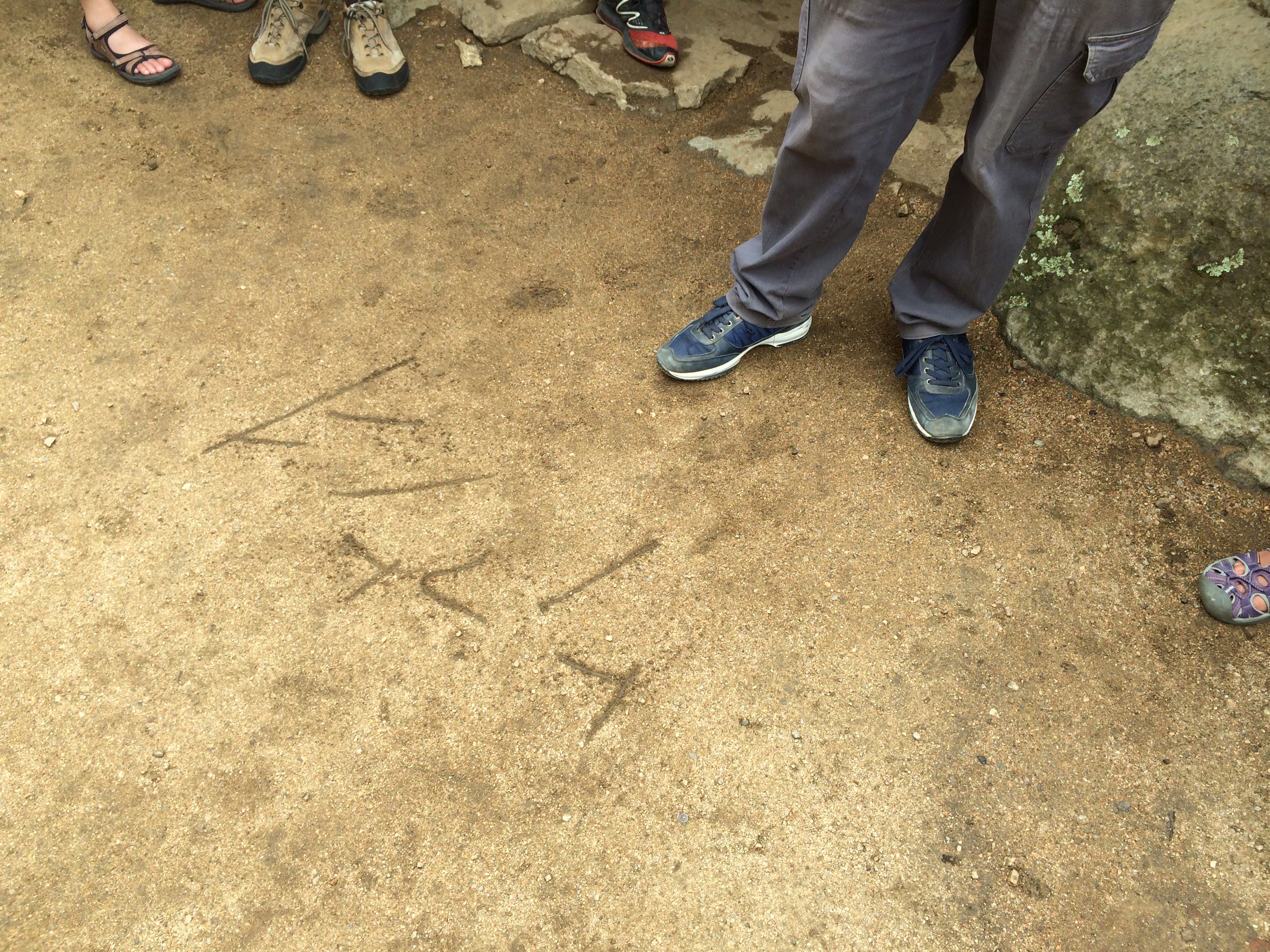
The Nuragi apparently had no written language. Only a few words survive. One of them is “Sardinia.” Another place name dating from their time is Olbia (where our overnight ferry came and went from), which means “city of the loving God” in proto-Hebrew. There are a few other words that have similar origins. At one point Mauro wrote a Hebrew word in the dirt and pronounced it.

He said there was evidence that Nuragic Civilization spread to other places, too. In 2006, a proto-Sardinian structure and artifacts were found 12 miles south of Haifa, Israel.

The Carthaginians, Phoenicians and Romans eventually brought war to Sardinia, ending the lotus-eating era of the Nuragis.  What exactly happened to them isn’t known.

Sardinia

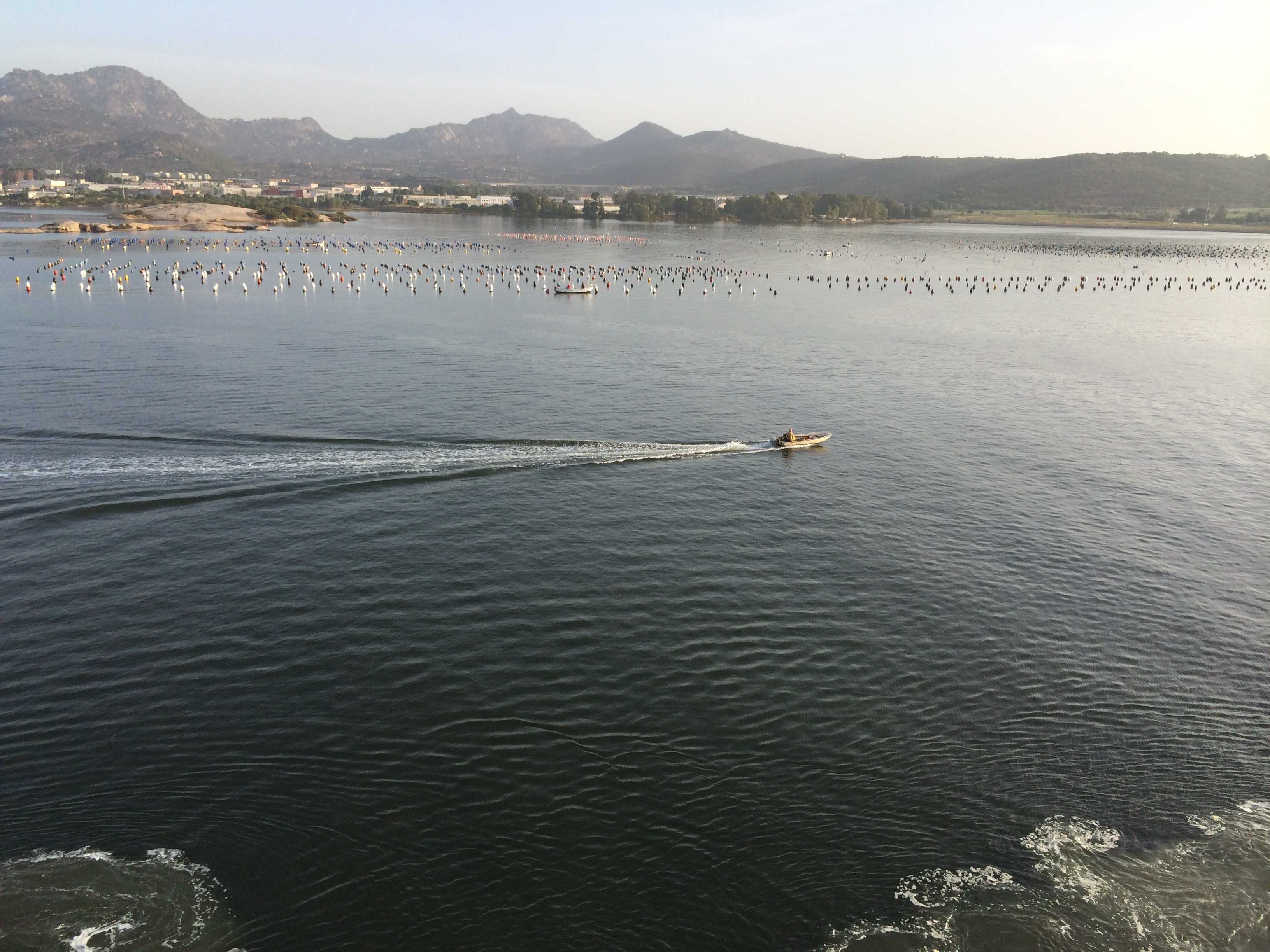
We entered the harbor in Olbia, in the northeast of Sardinia, soon after sunrise. The water was still and decorated with hundreds of buoys marking lines where clams and mussels were growing.

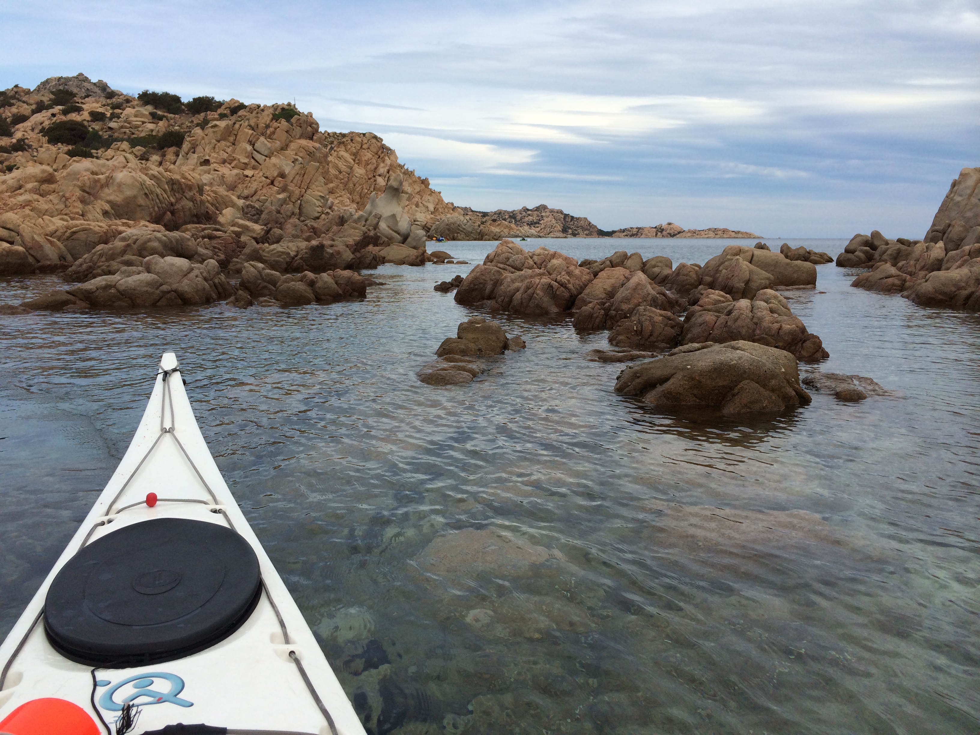
We went for a brief paddle on a place called the Bay of the Saracens. The name telegraphed the variety of ethnicities that have attacked, colonized or sojourned here. The outing was short, as are most on this trip, and it featured, as they all do, a meal that added half again to the calories we’d expended.

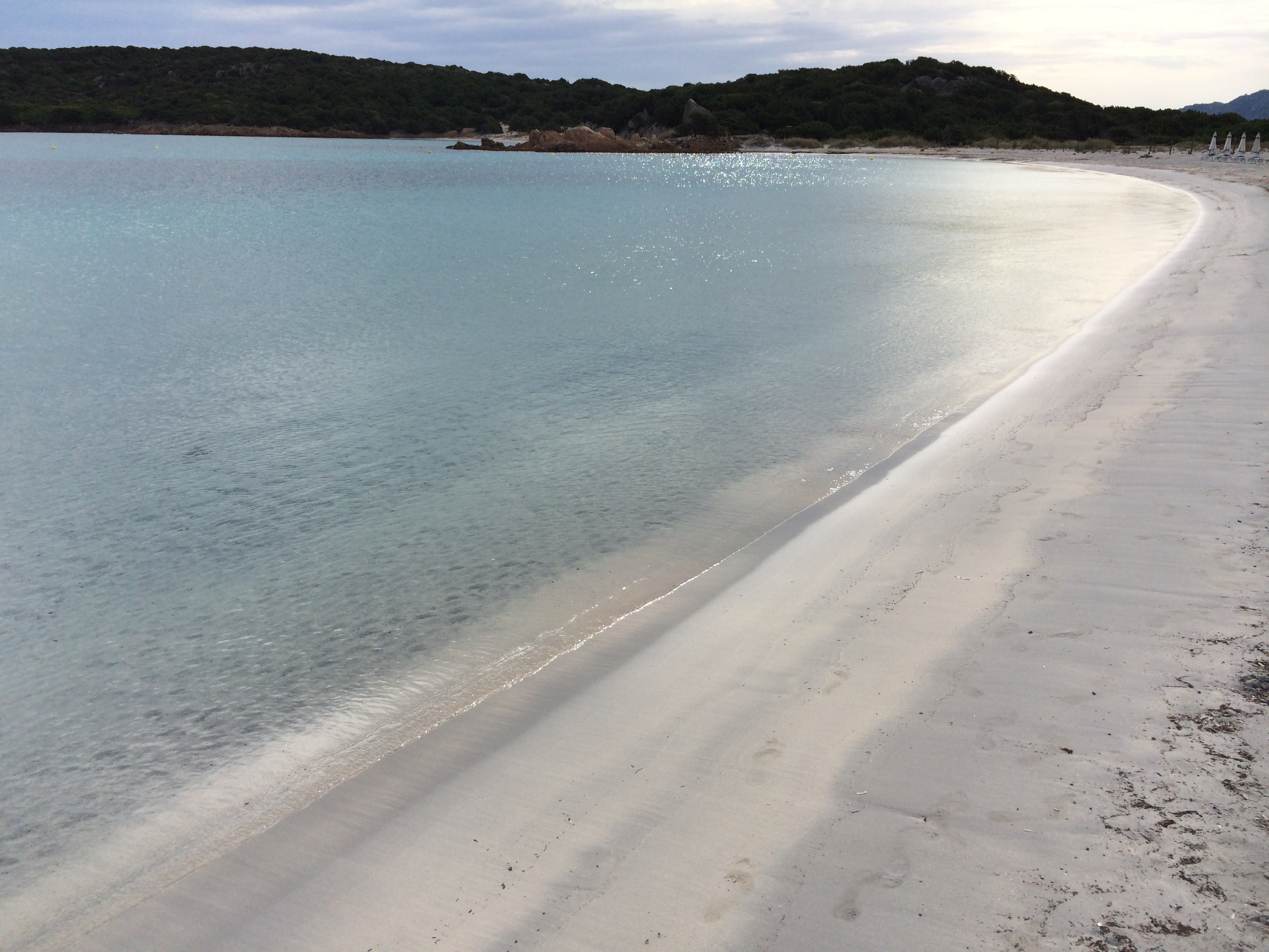
The water was 78 degrees and clear, with grass beds and submerged boulders, an occasional sea cucumber and clam, and a fair number of small fish.

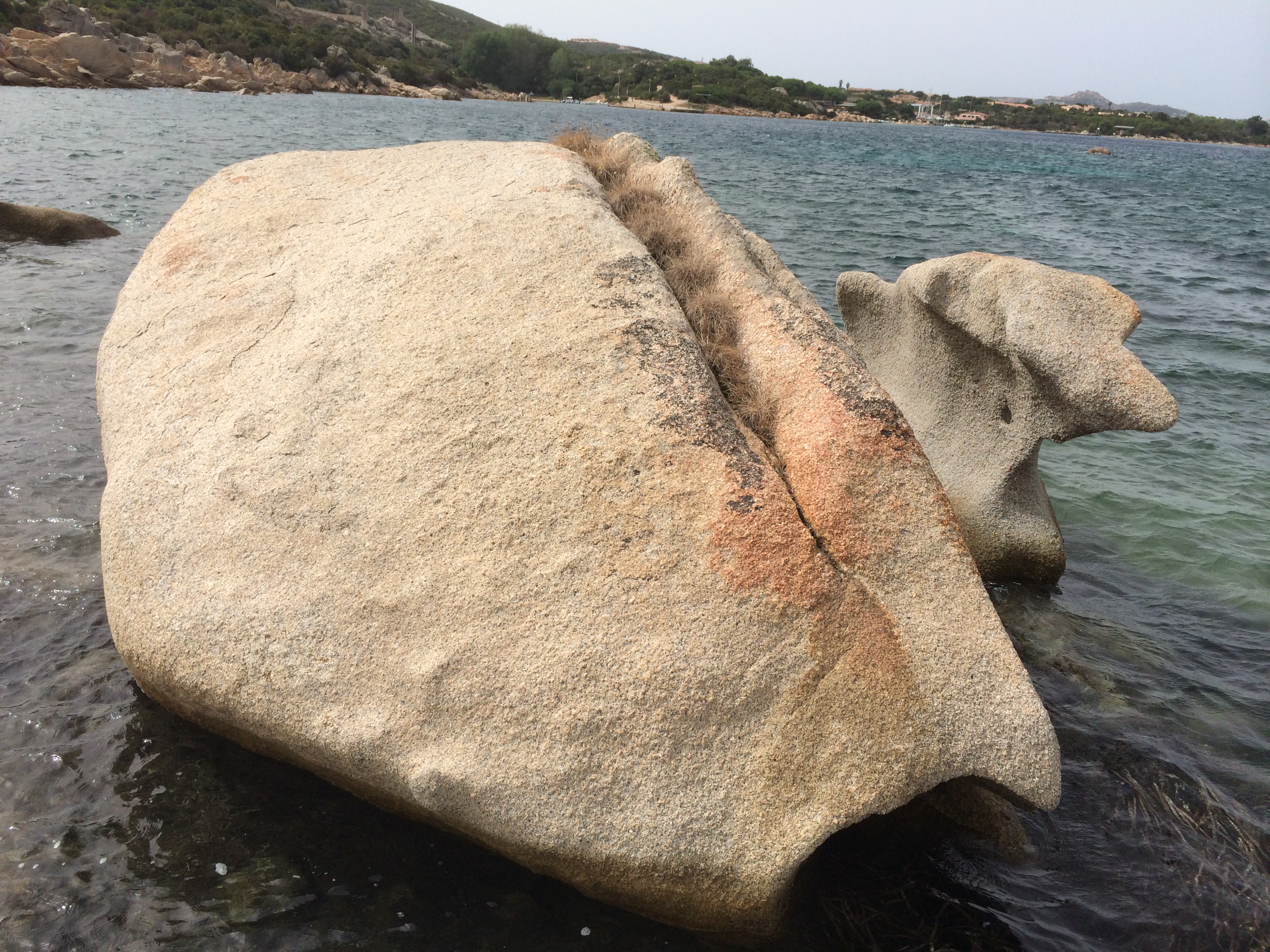
The coast is comprised of pink granite sculpted smooth by water and wind, and folded into strata so that looks like dough that has risen not quite enough to bake.  It is as pink as the Stonington granite of Maine, but without the latter’s complexity and gray highlights. It has a weathered surface and lacks the polish that brings out the subtleties of its color.


What it gains, in exchange, is a variety of Henry Moore-like shapes. These are not only dramatic curvilinear forms but also huge voids—smooth, deep and mysterious of origin. As we paddled along we commented on what we saw—seals, dogs, bread loaves, hobbit houses, bee hives, faces.

The Sardinians have noticed this too. At the top of one of the jagged mountains is a proboscis of stone called “the Bear,” which it resembles from a certain angle.

We always paddle close to the shore. This is the concession to taking people in their 70s and 80s on these trips, and to the changeability of conditions. It also provides a chance to perform low-rent navigational maneuvers, steering through the boulders and passages that line the shore.

Enrico is good at keeping the group in control with a light hand. There have been a few moments with swells coming abeam, or following seas, but they didn’t last long. Everyone has handled the conditions well. And we never paddled long enough to get people really tired.

There was always a beach with azure water (if the sun was out) to get to in not a lot of time. And food.

On one of our outings, Enrico gave me a rolling lesson, the second I’ve gotten. (Bob Baugh gave me the first). I was rolling from the starboard side this time. Didn’t quite make it—it was a short lesson—but got some practice tips I will pursue on my own.

We had three outings, each amounting to no more than half a day, while we were here. There was always good swimming. On the last one we were hoping to land at a beach that has come to be known as “Tahiti” because of the color of its water. (It has an Italian name Cala Coticcio.) It was full of vacationers—on both of its parts—and we thoughtfully didn’t bigfoot it with nine kayaks.

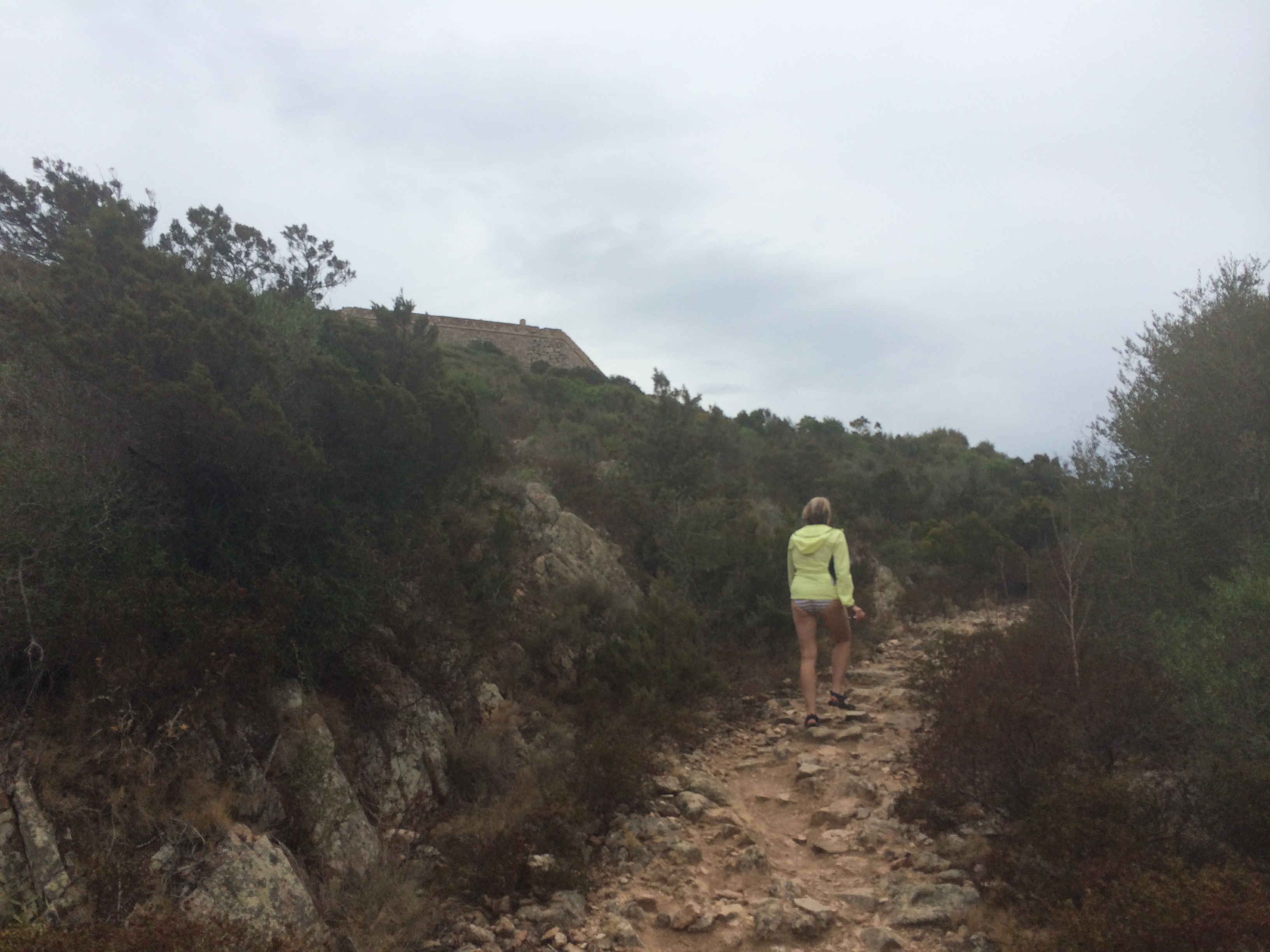
Instead, we returned to a beach we had passed on the way out that had a only few people on it. Above it, half a mile up a stony path, was a fort.

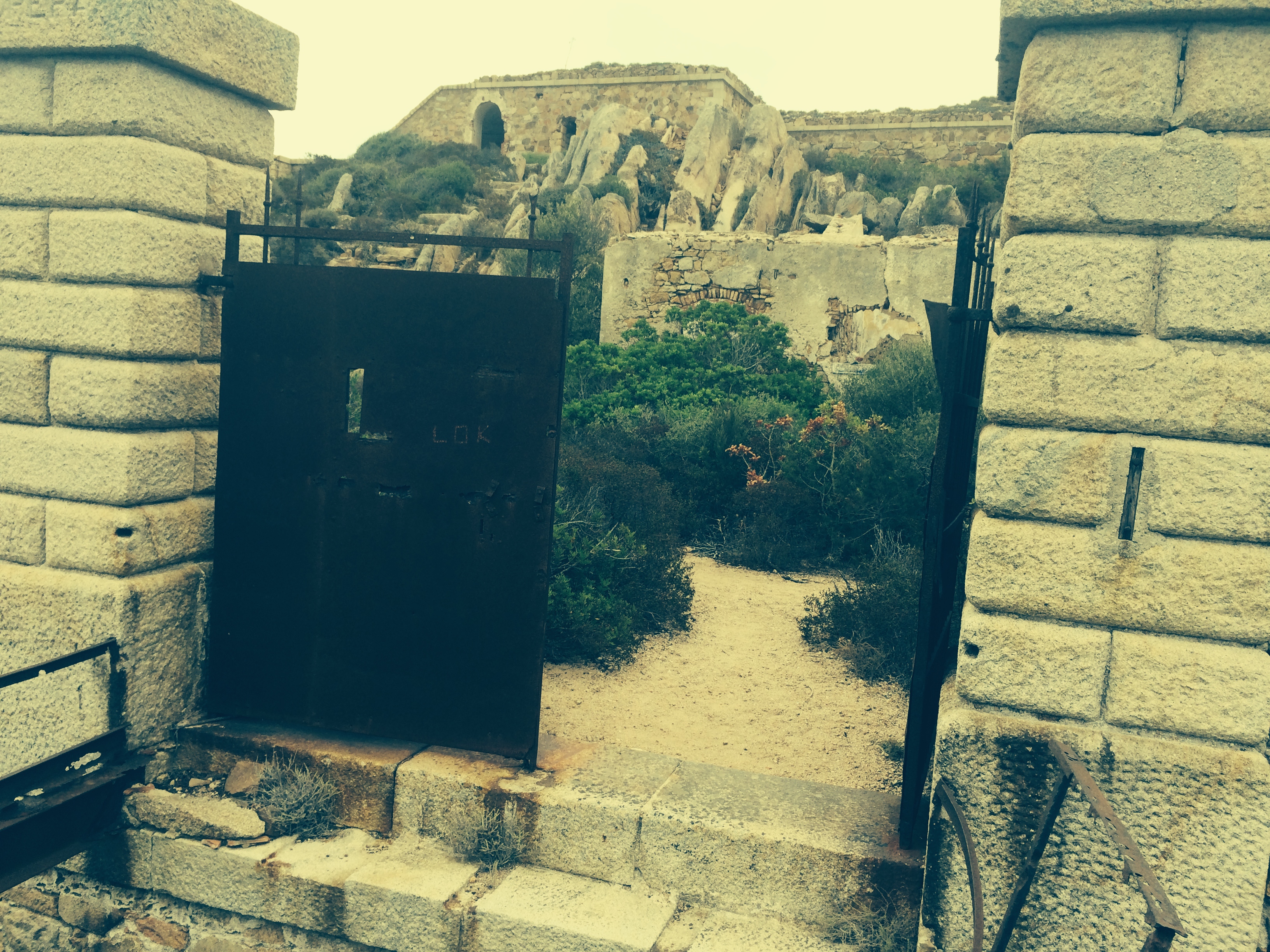
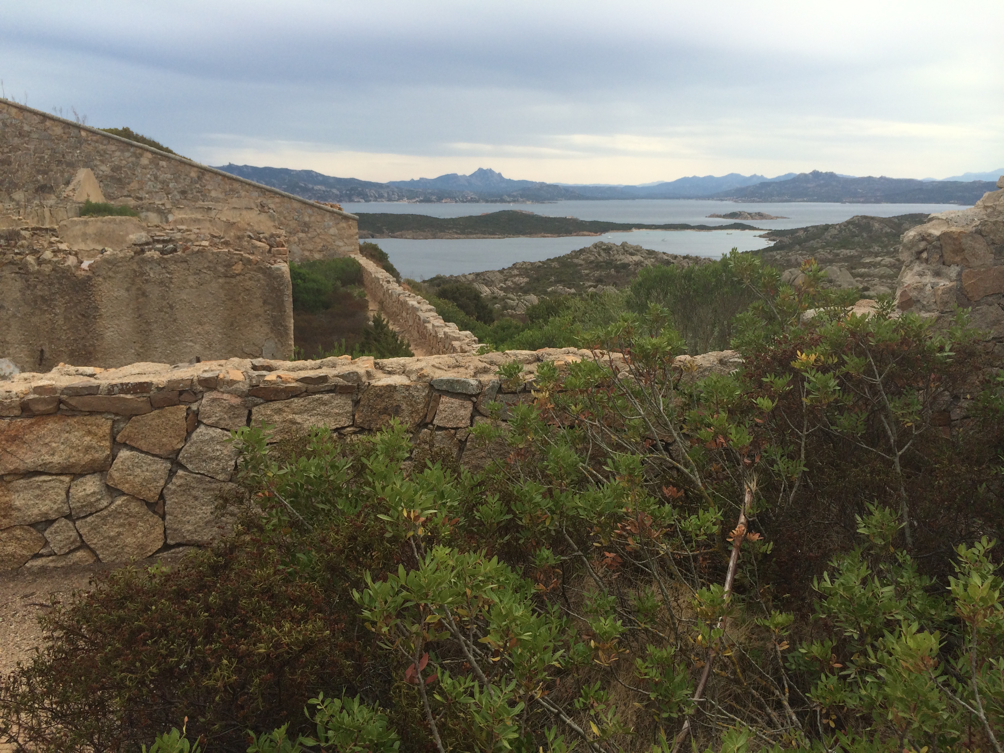
It was billed as a Napoleonic fort but had a history that both pre- and post-dated that. We climbed past a large cistern, a roofless church, a watchtower, a barracks—these were all guesses—until we got to the front gate.

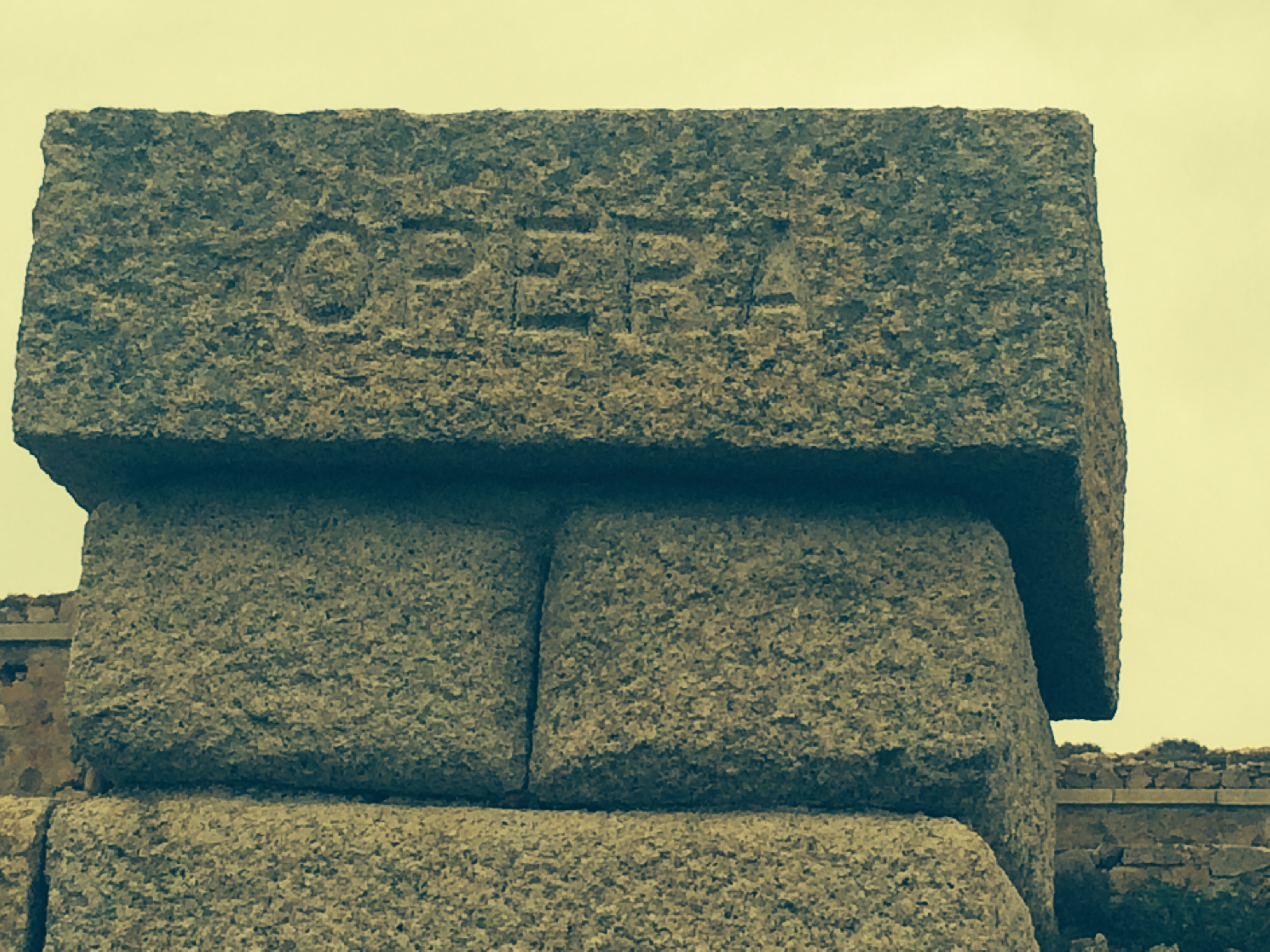
Curiously, the word “opera” was on one of the two pillars bordering the portal. On the other was a word that was hard to figure out.

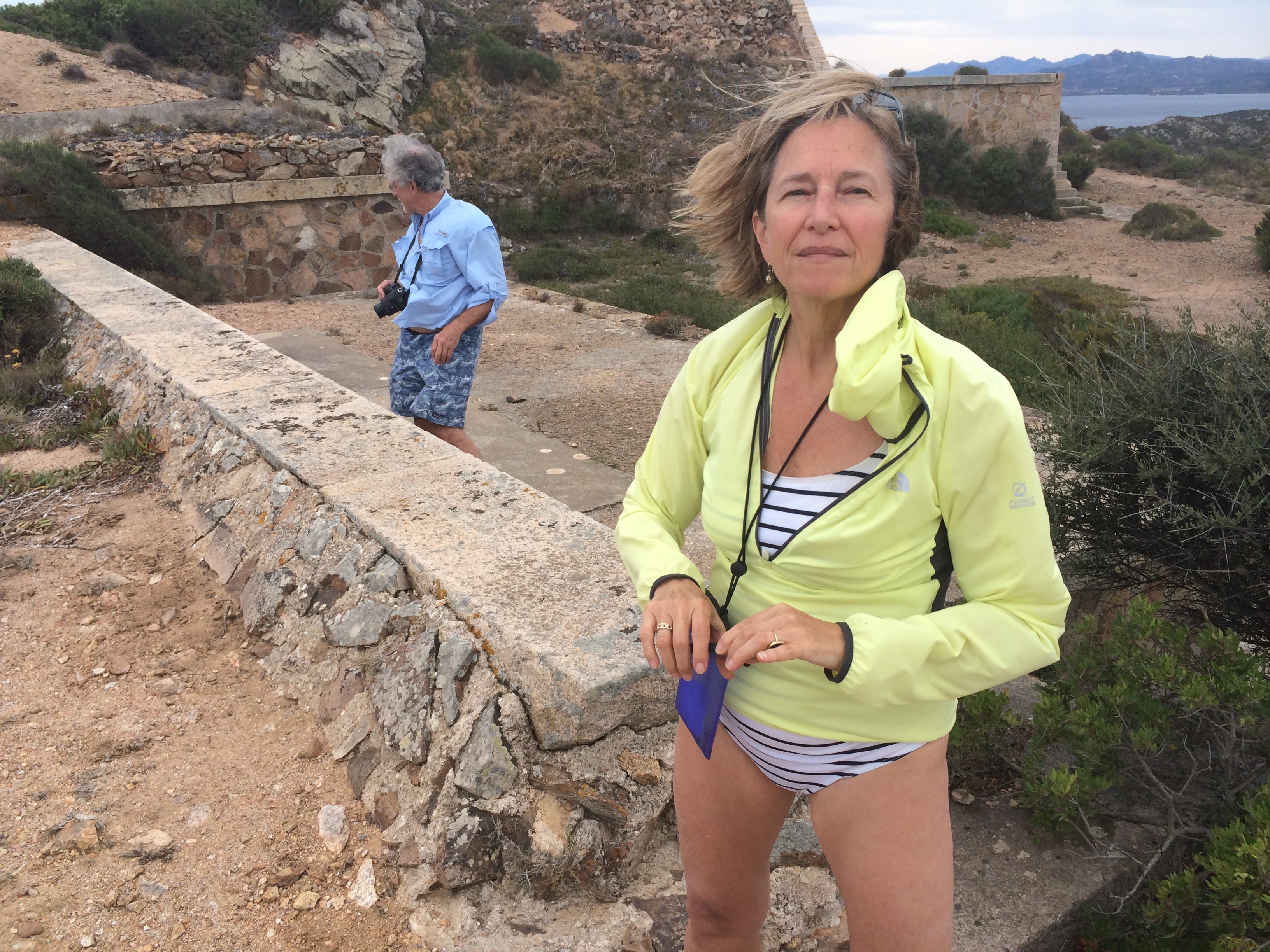
In between was a chasm with two iron struts spanning it. One could have inched across. But luckily there was a path that went to a breach in the wall.

That got us into the fort, which was empty and only somewhat defaced with graffiti. We climbed up to the top level, which had great views and steady wind from the west—the Mistral.

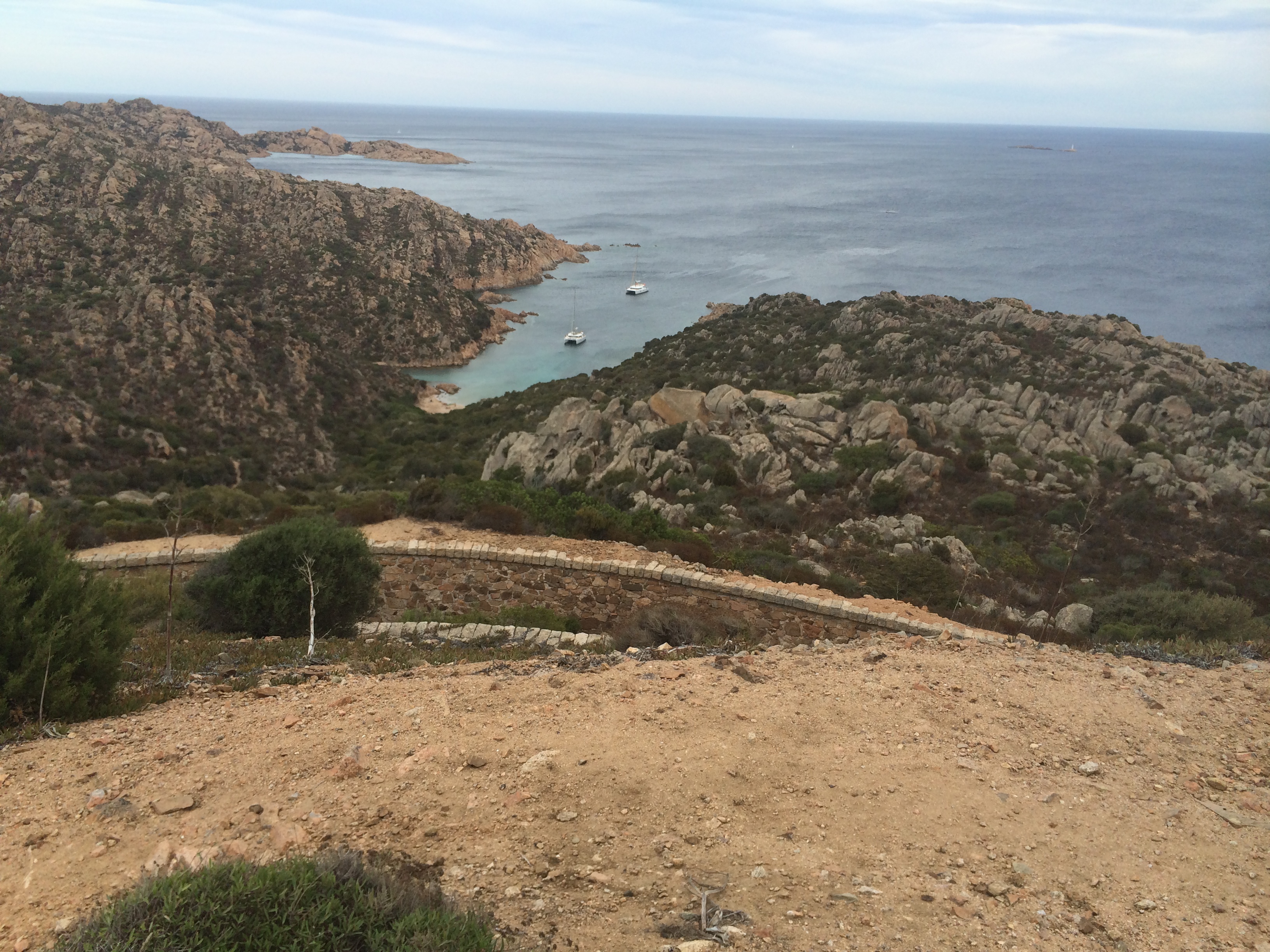
We looked down on the cove where we’d beached and saw two catamarans there but none of our companions.

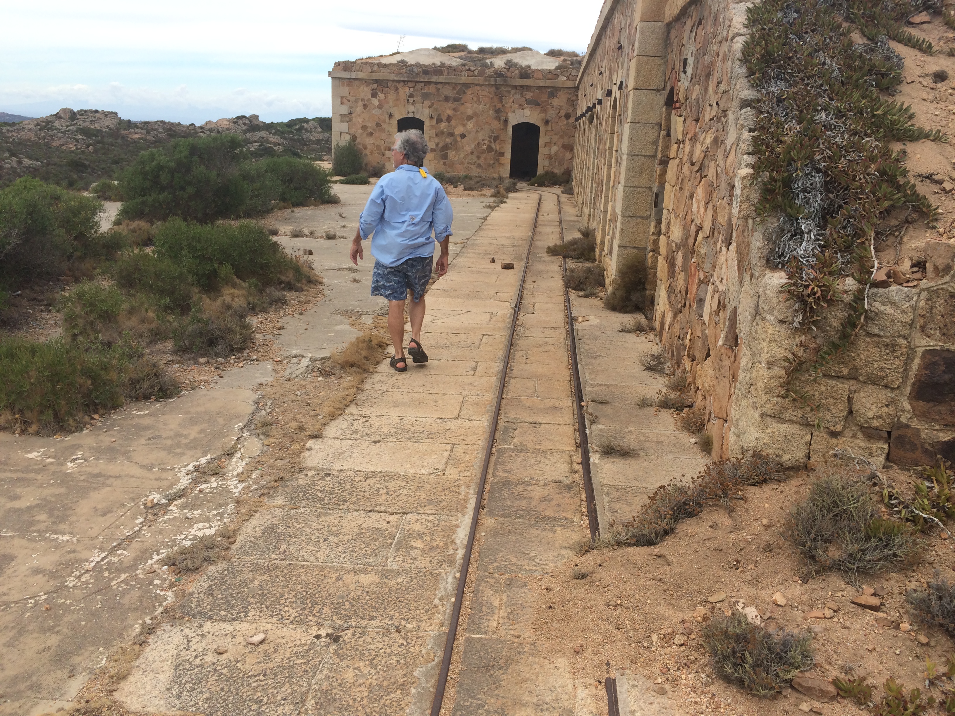
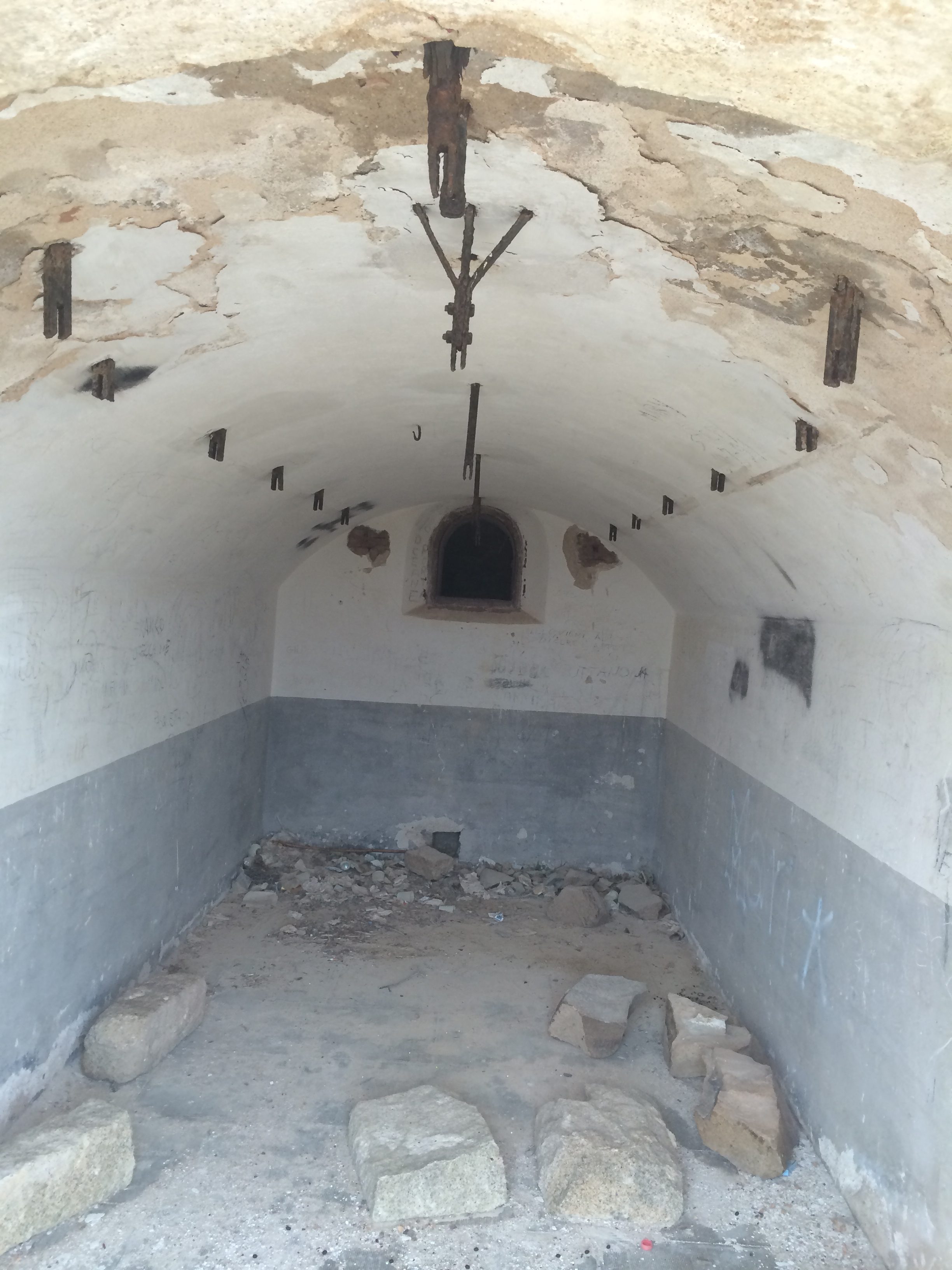
The fort had what appeared to be a miniature rail line that could move the big guns (which, with all the armament, were gone).

There were bee-hive ceilinged magazines similar to the ones still visible at Fort McHenry, in Baltimore.

There were passageways that needed exploring. But there wasn’t enough time.

We are staying on an island called La Maddelana—the Magdalene. It is separate from the island Sardinia, but a big place with an active tourist trade. It was also the site—or was supposed to be—of a G8 conference in 2009. The Berlusconi government spend $400 million euros—much of it raked off in graft and sweetheart deals, according to Enrico—and the site clearly wasn’t going to be ready for the meeting.

An earthquake in the central Italy city of L’Aquila intervened. In a gesture of face-saving solidarity, Berlusconi decided to change the venue to L’Aquila. The 27,000 square meters of buildings and 90,000 square meters of land at the G8 site in La Maddelena has never been used.

We paddled one day on an island called Caprera, which refers to goats (of which we saw none). It is a stony island where Giuseppi Garibaldi—who Enrico, a man of the left, calls “the Italian Che Guevara”—was exiled there, died there and is buried there. There is a Garibaldi museum, which unfortunately we didn’t have time to visit.

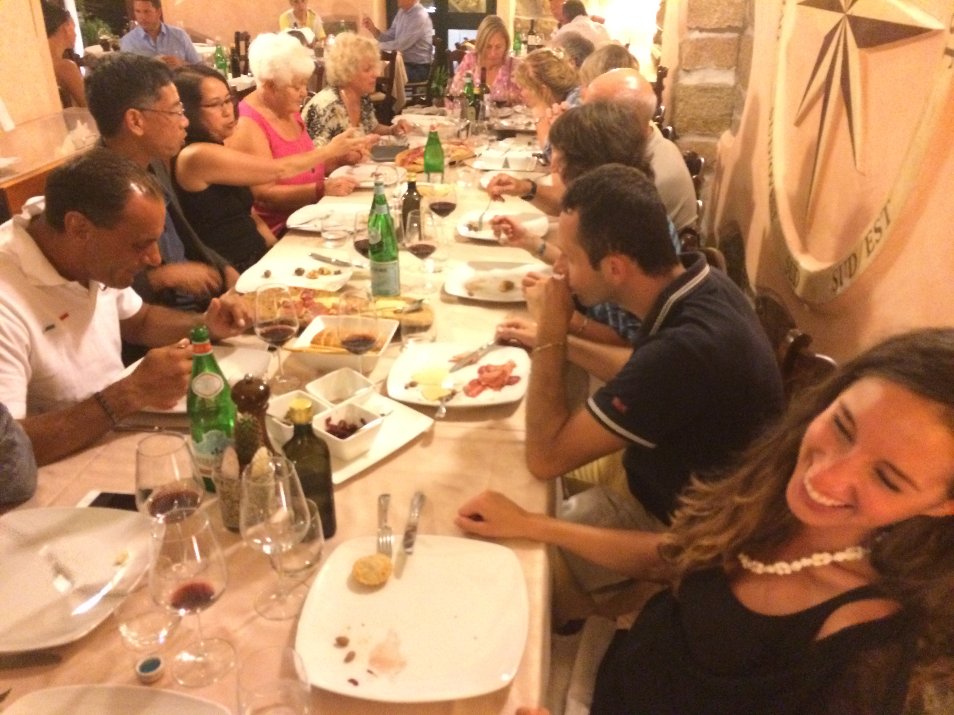
We did, however, have time for many good meals.

They included a pasta dish whose main ingredients were dried and grated mullet roe, and clams. It was billed as a celebration of umami. Which it was.

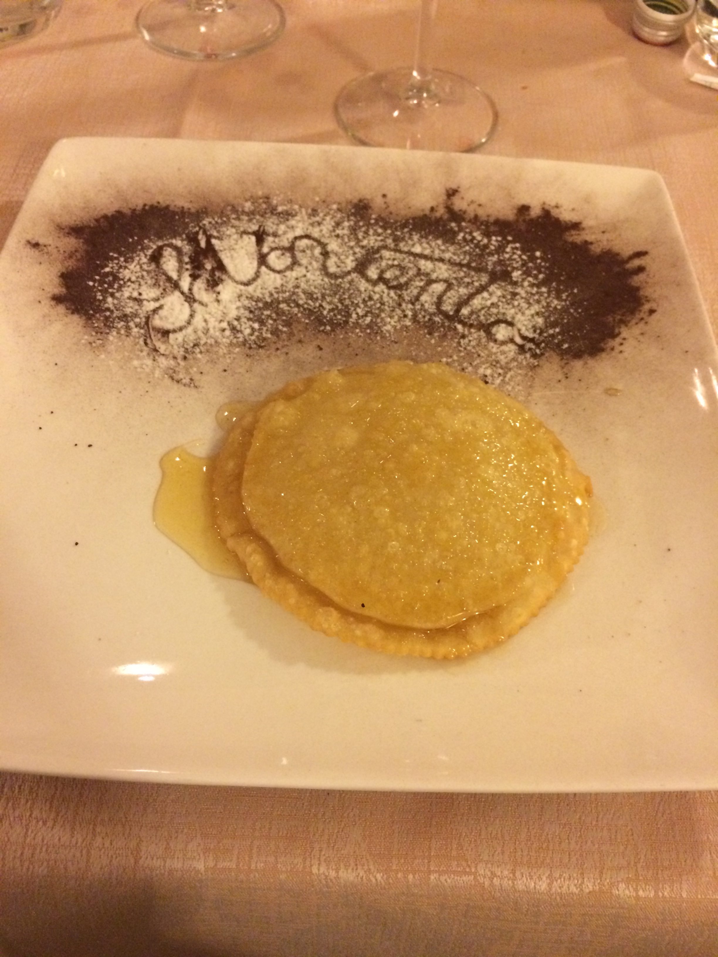
We had fried mussels, anchovies, shrimp, moray eel, calamari, sea bass, three kinds of Pecorino, smoked ricotta, a dessert consisting of a huge single ravioli filled with soft cheese, fried and drizzled with honey and lemon juice, lots of wine and limoncello, and a mahogany colored liqueur, slightly bitter, called mirto, made from myrtle leaves.

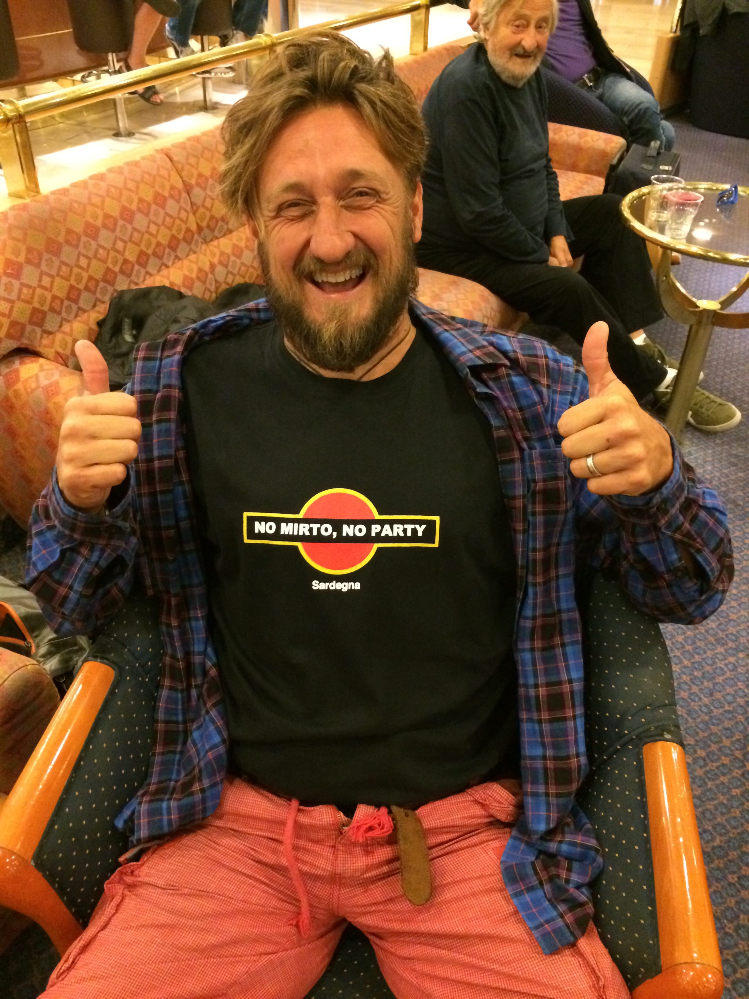
By the time we had left, one of the couples on the trip had given the piratical Enrico a tee-shirt with the caption: “No Mirto, No Party.”  He had it on when we got on the boat to go back to Genoa.

« Older posts Newer posts »

© 2026 A wee walk

Theme by Anders NorenUp ↑