One of the things John Wesley Powell did nearly every day was climb partway up the walls of the canyon, and occasionally to the rim. There were several reasons.
He was the one who scouted the rapids and decided whether they’d be run, lined down with ropes, or avoided altogether by carrying both boats and gear around them. If the decision was to go in boats, he usually decided the route.
He also climbed the canyon walls to take barometric readings. From them, following a formula, he could estimate his altitude above sea level (or a known downriver site whose usual barometric pressure was known). Serial measurements could then tell him how far the expedition had descended–and how much deeper the canyon would go. He could also estimate the depth of a canyon by comparing the reading at the rim to one taken at the river.
Powell also climbed to collect rock specimens from different strata, look for fossils, and identify plants. Occasionally, he climbed just to look around and satisfy his curiosity.
Powell sometimes made these forays alone (and, of course, always with one arm). They were often dangerous. Edward Dolnick, in “Down the Great Unknown: John Wesley Powell’s 1869 Journey of Discovery and Tragedy Through the Grand Canyon,” recounts several.
Once while climbing with a crew member named George Bradley, Powell found himself standing on tip-toe on an outcrop and holding onto another outcrop overhead with his one hand. He was unable to proceed. Bradley, above him, took off his pants and lowered them. Powell let go of the rock, made a one-chance grab of the pants, and was pulled up to safety. Another time, Powell and a different companion climbed 4,000 feet to the rim of a canyon. Darkness caught them on the descent. They followed the light of the crew’s riverside campfire as they felt their way down.
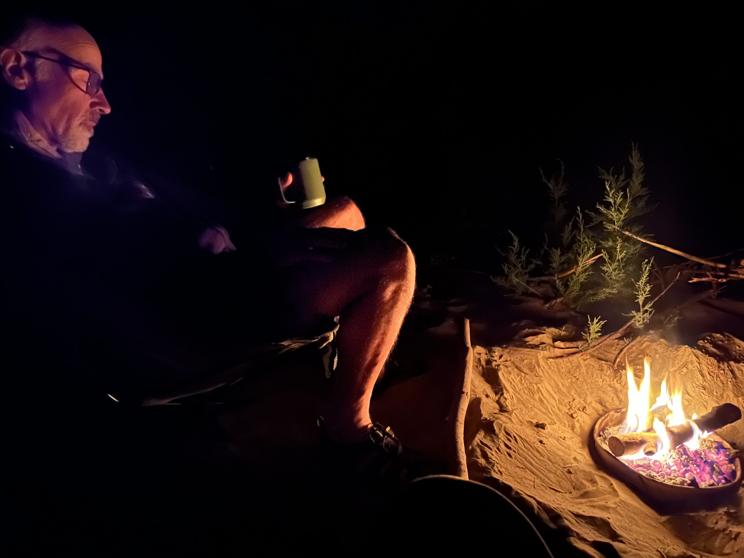
I mention this as prelude to a brief account of one of the two climbs-to-the-rim that Larry and I did on the trip. The first could have ended badly. It did not, as I’m here to describe it.
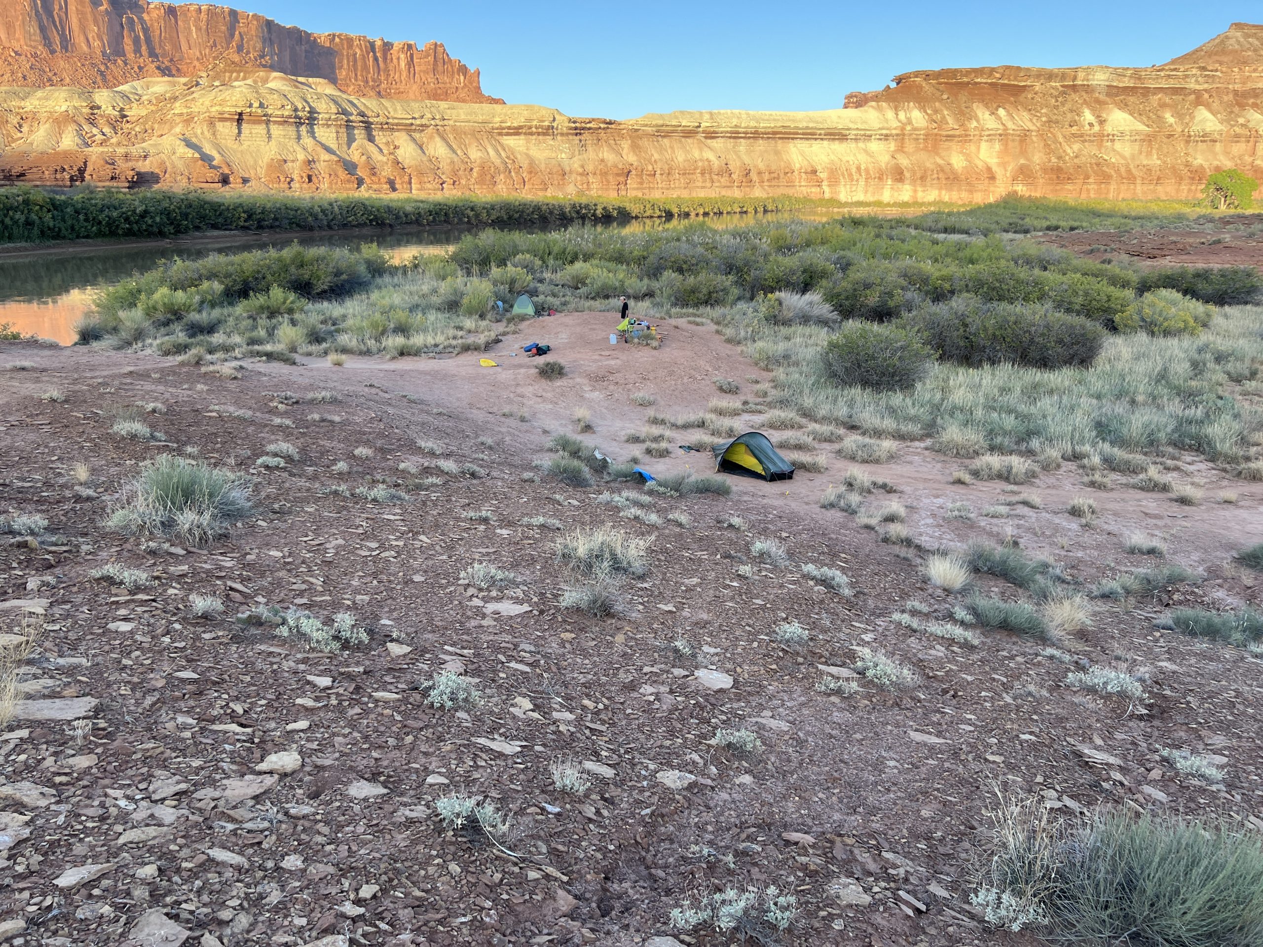
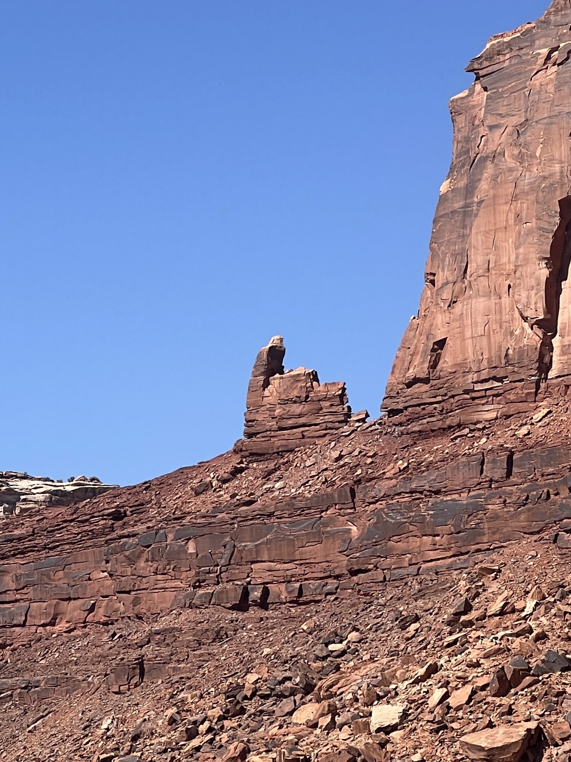
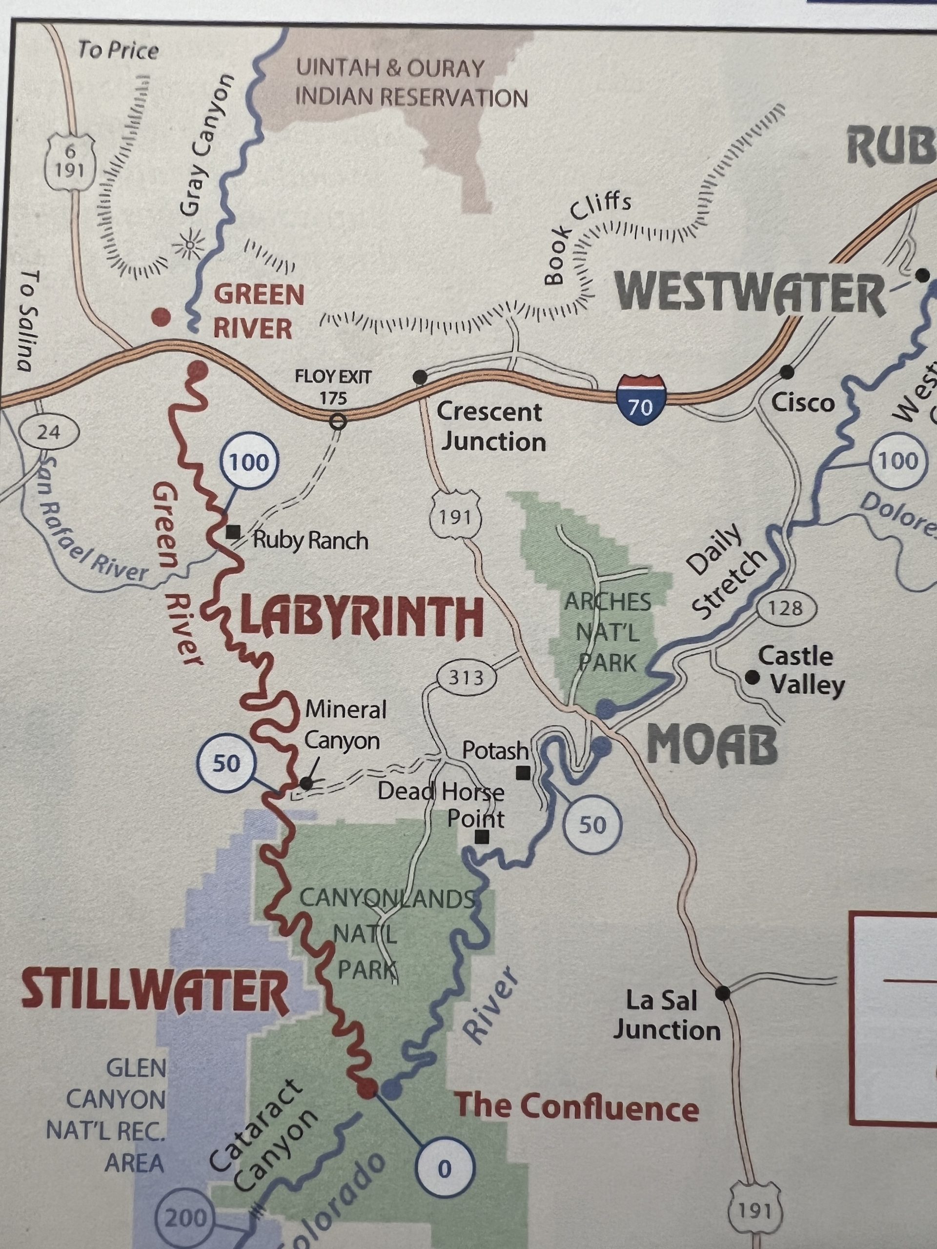
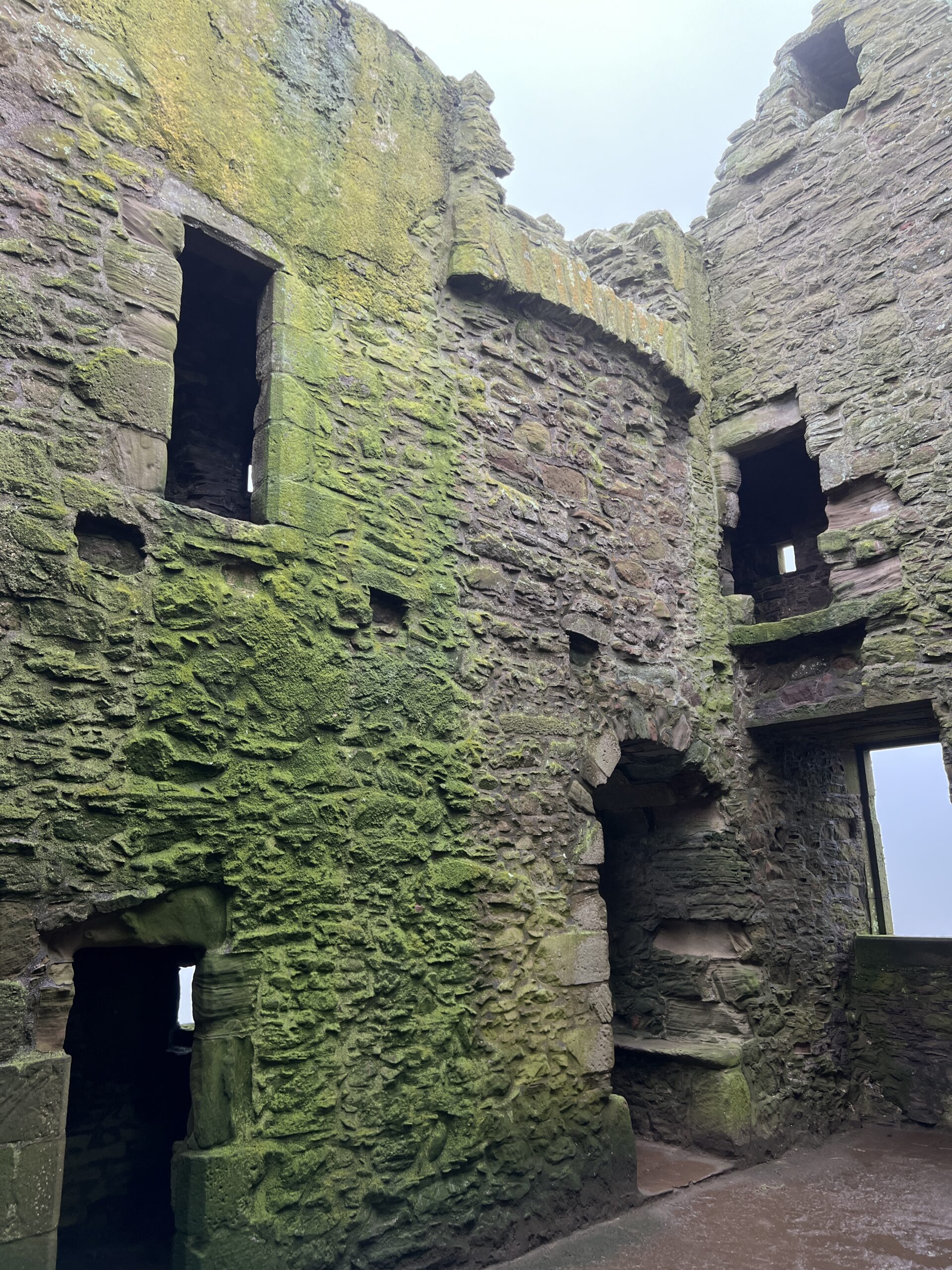
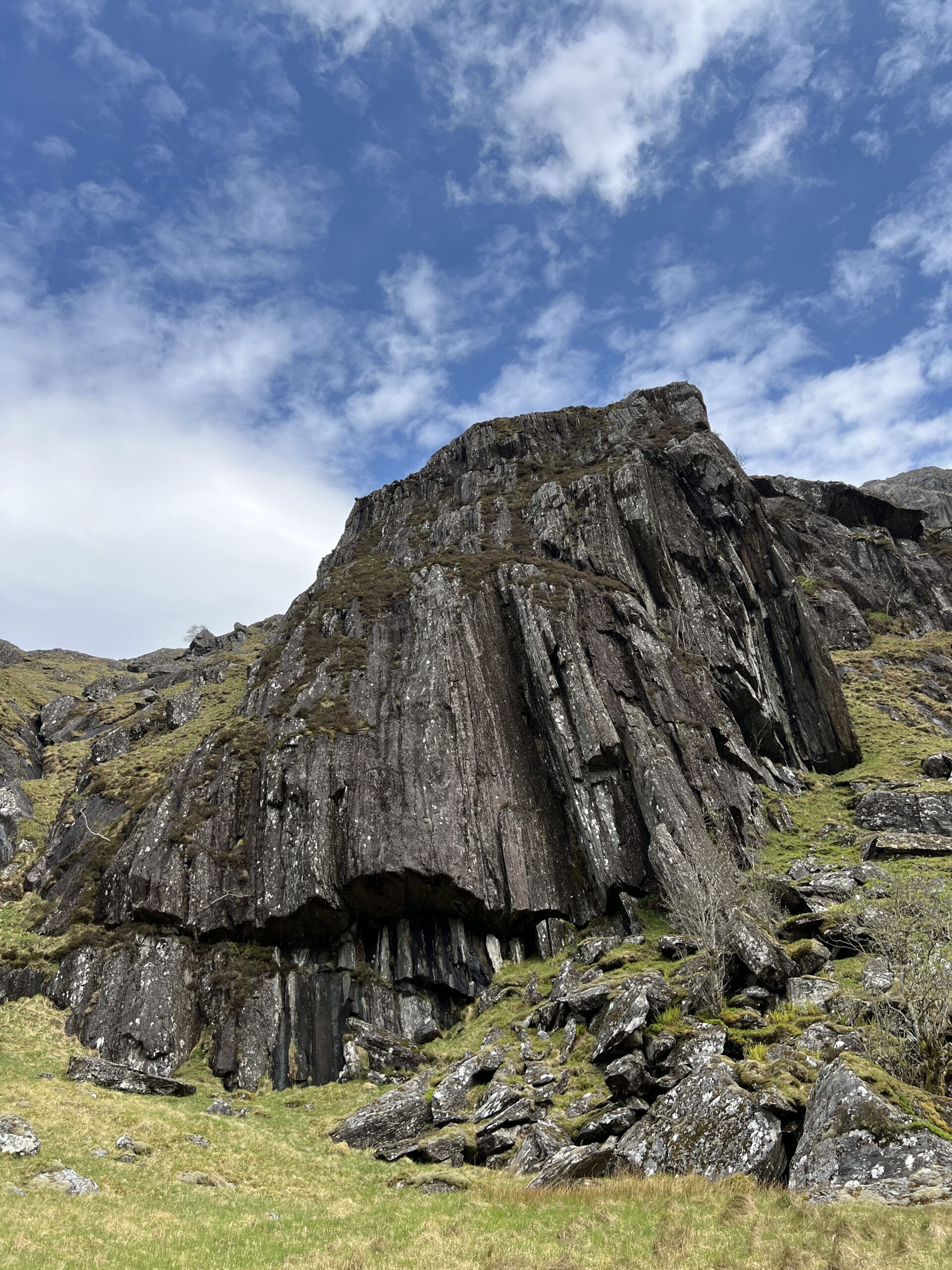
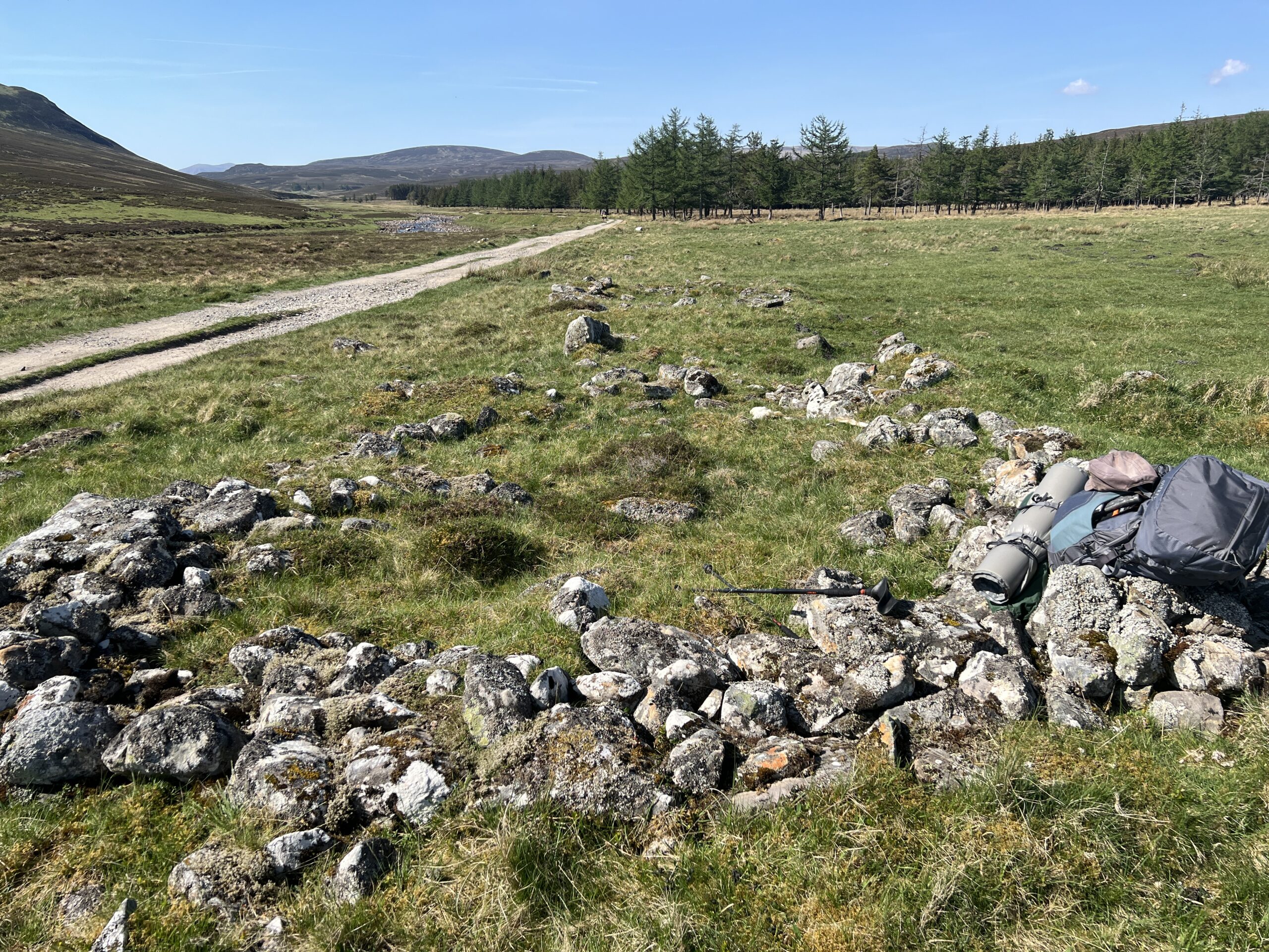
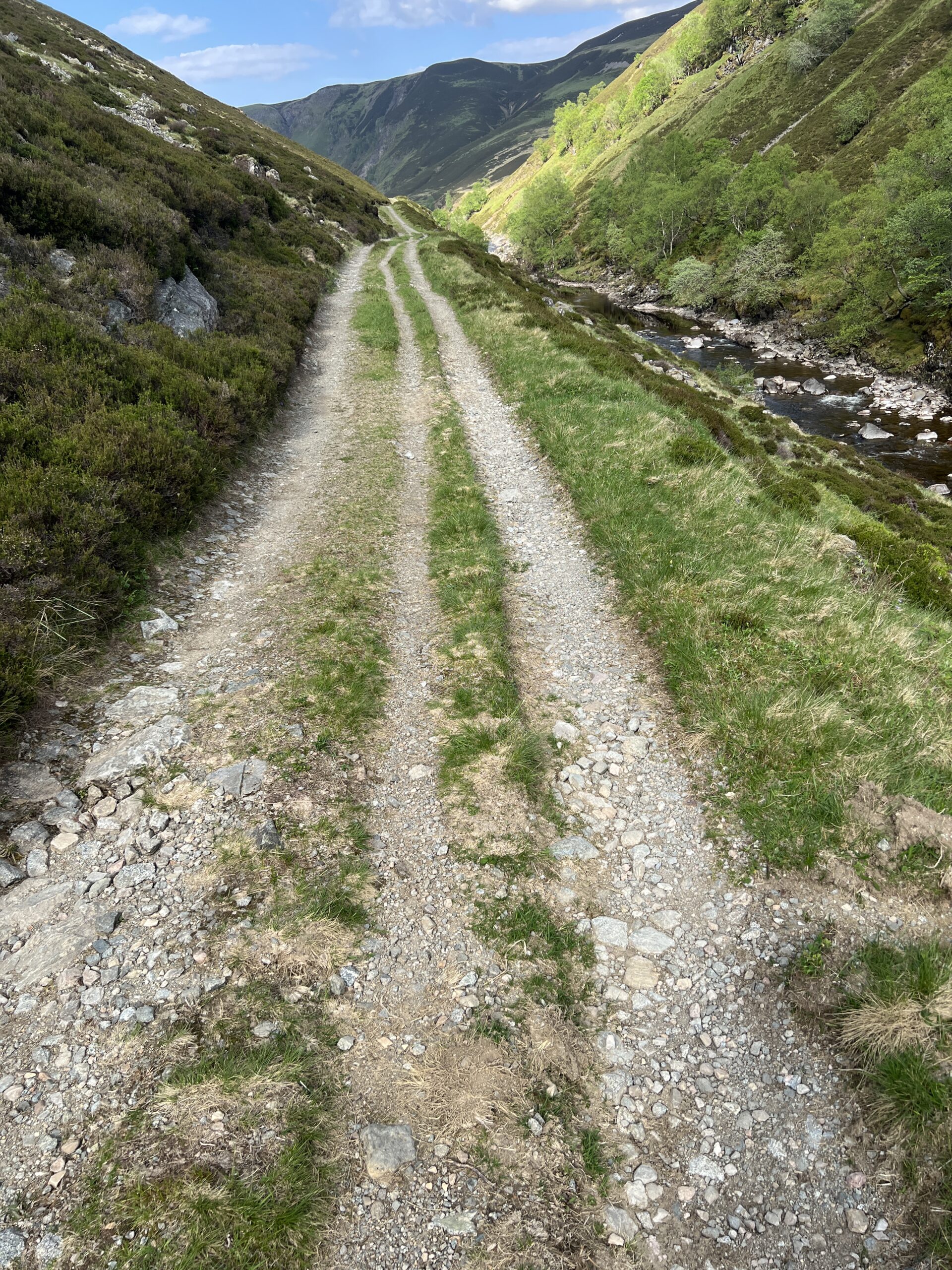
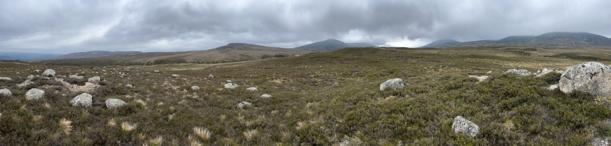
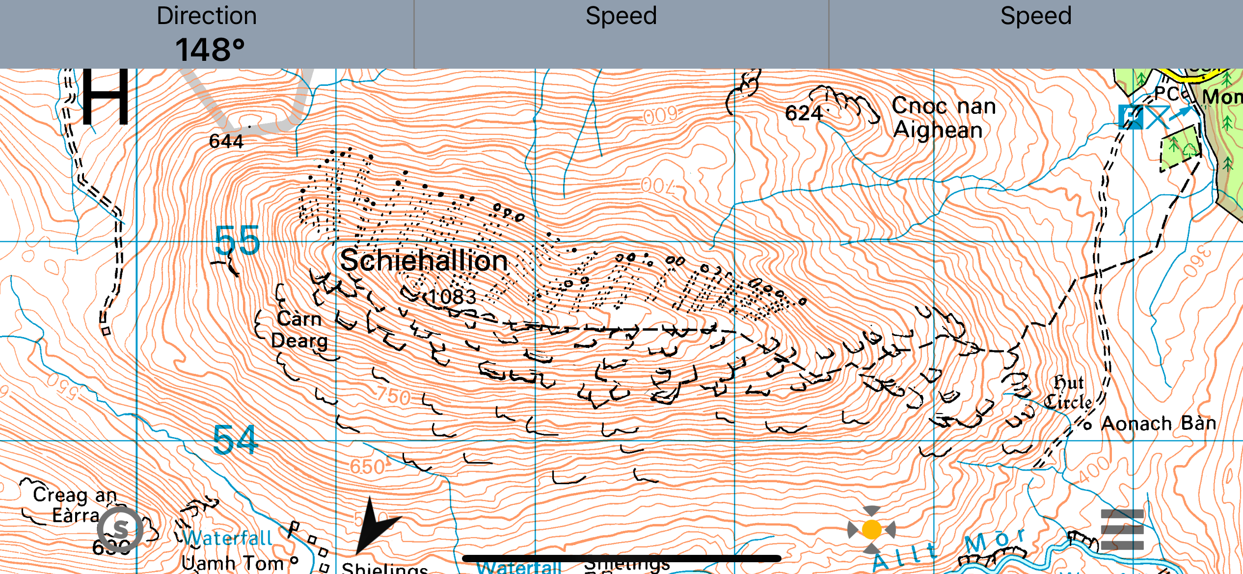
On the fifth day out we came ashore on a sandbar on the left bank. The map and river guide suggested we might be near ruins of structures built by the Anasazi (now preferably called “Ancestral Puebloan”) people in pre-Columbian times.
We weren’t sure, but it was lunchtime so we got out and walked up a sloping white formation of sandstone, found a shady spot under a ledge, and ate. After a brief rest we decided we wanted to get to the top of the canyon wall. It was far from vertical, and as we stared at it we saw what looked like three routes up.
We picked one and set out.
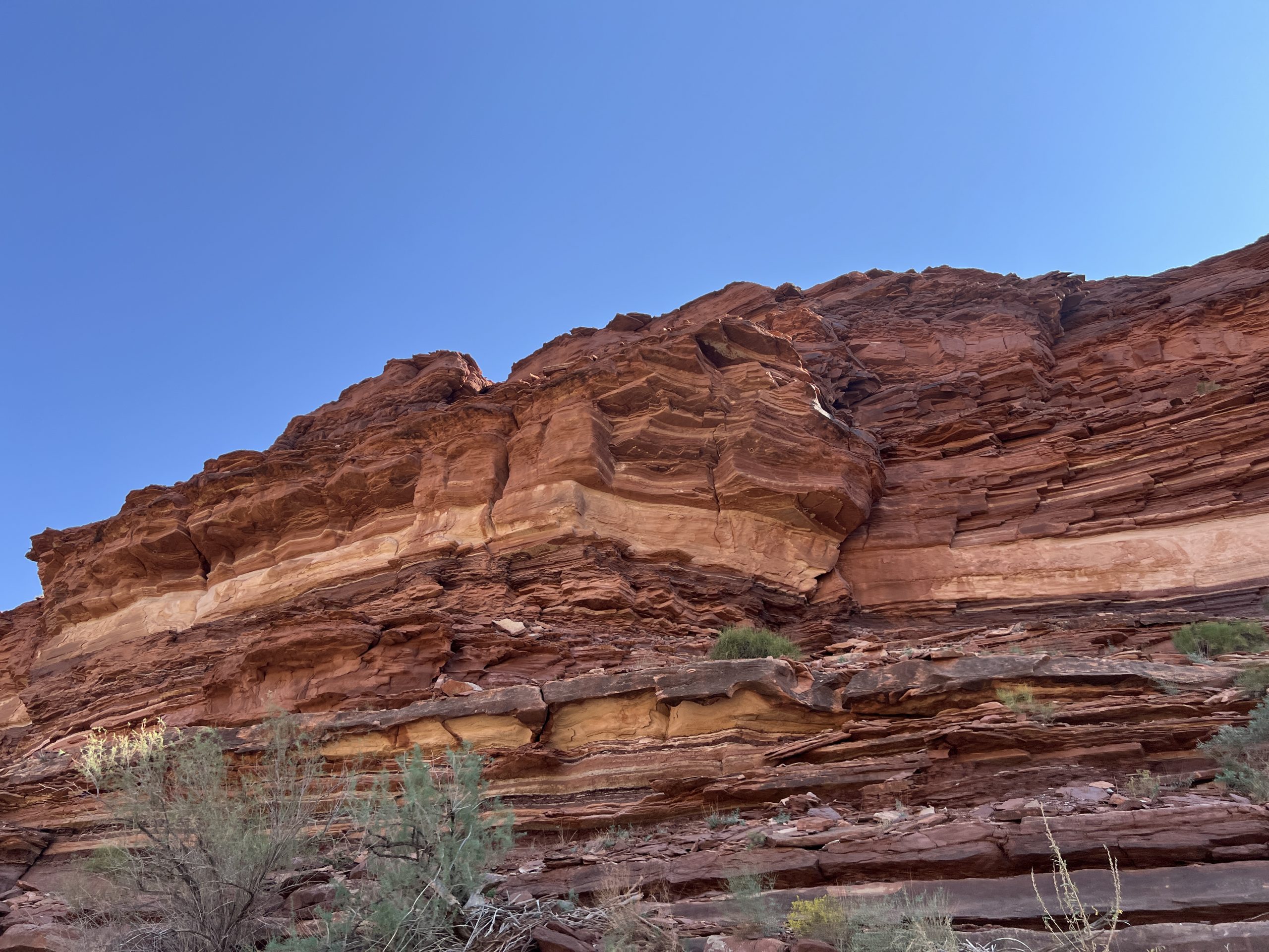
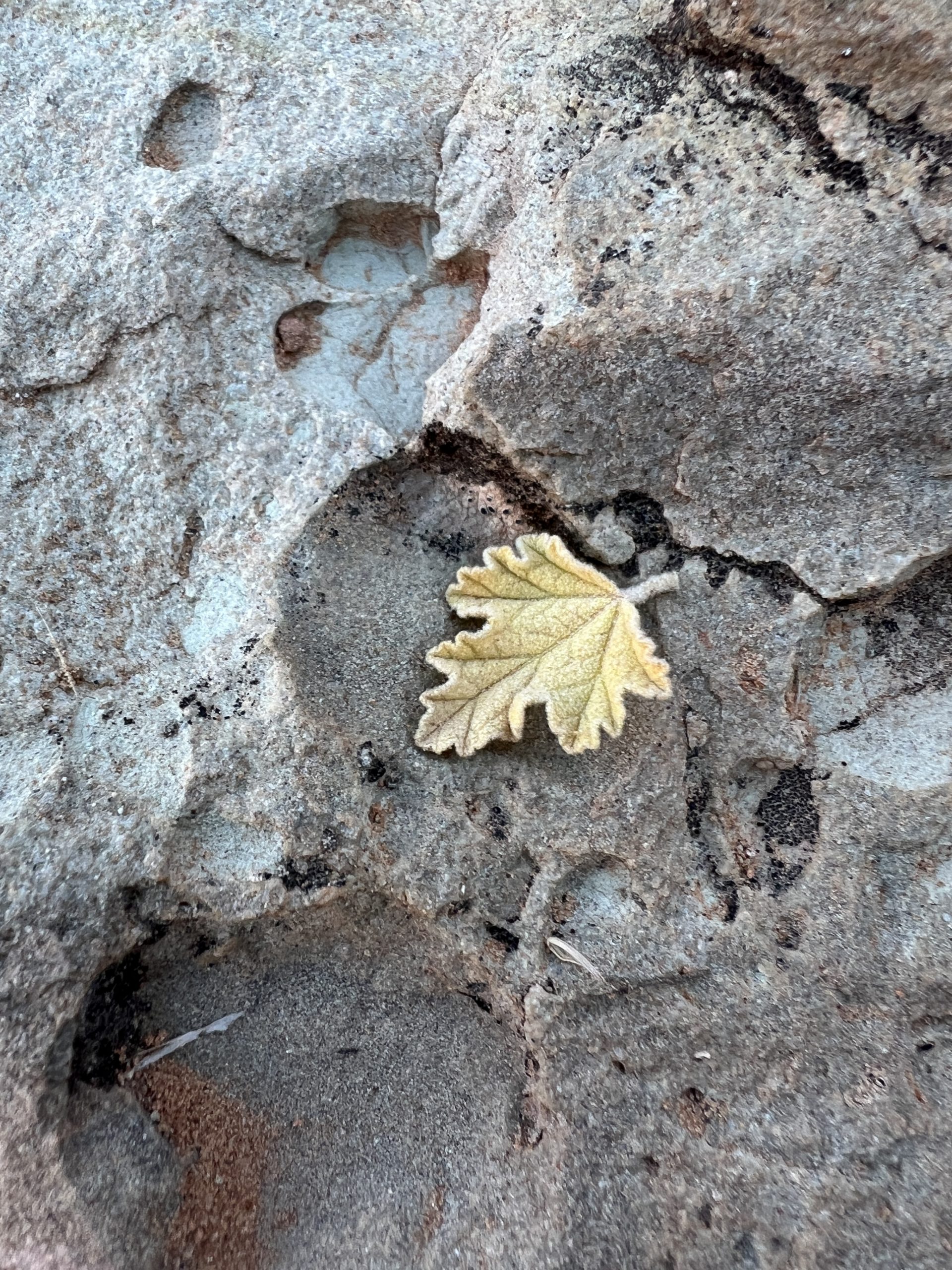
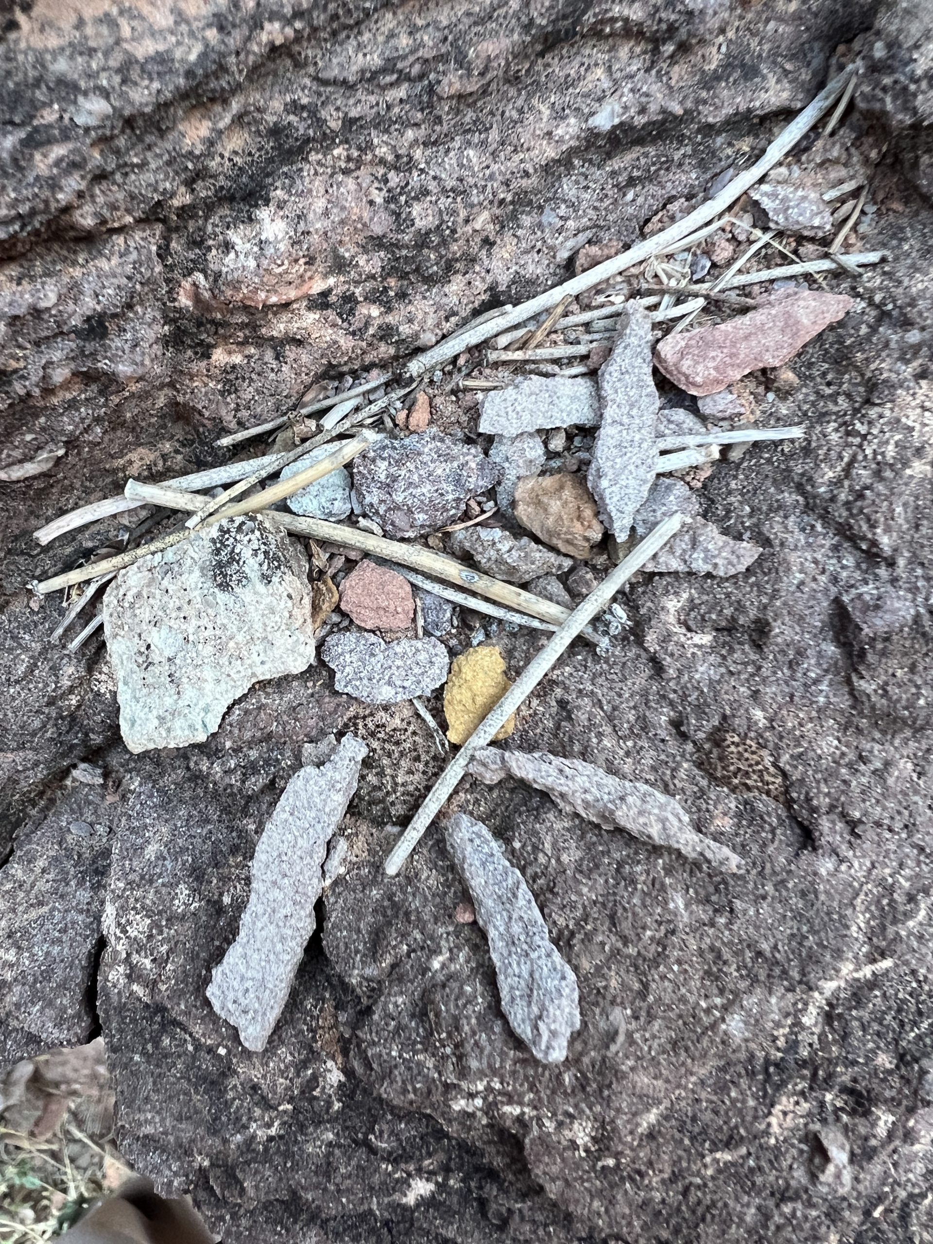
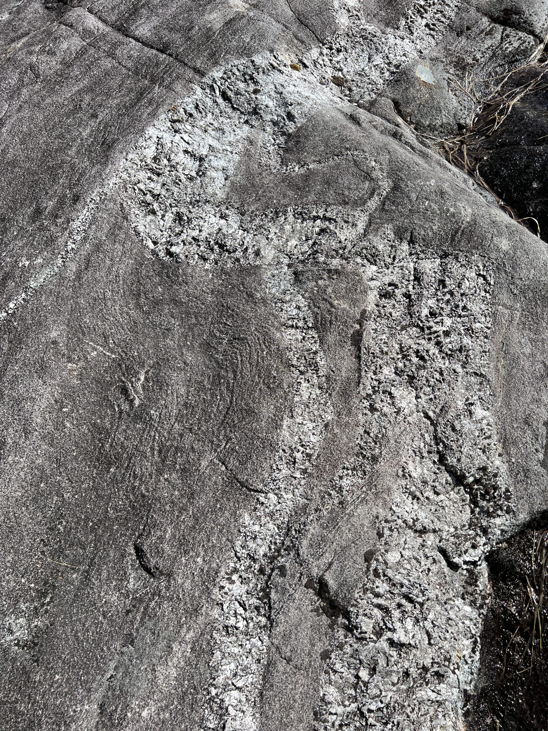
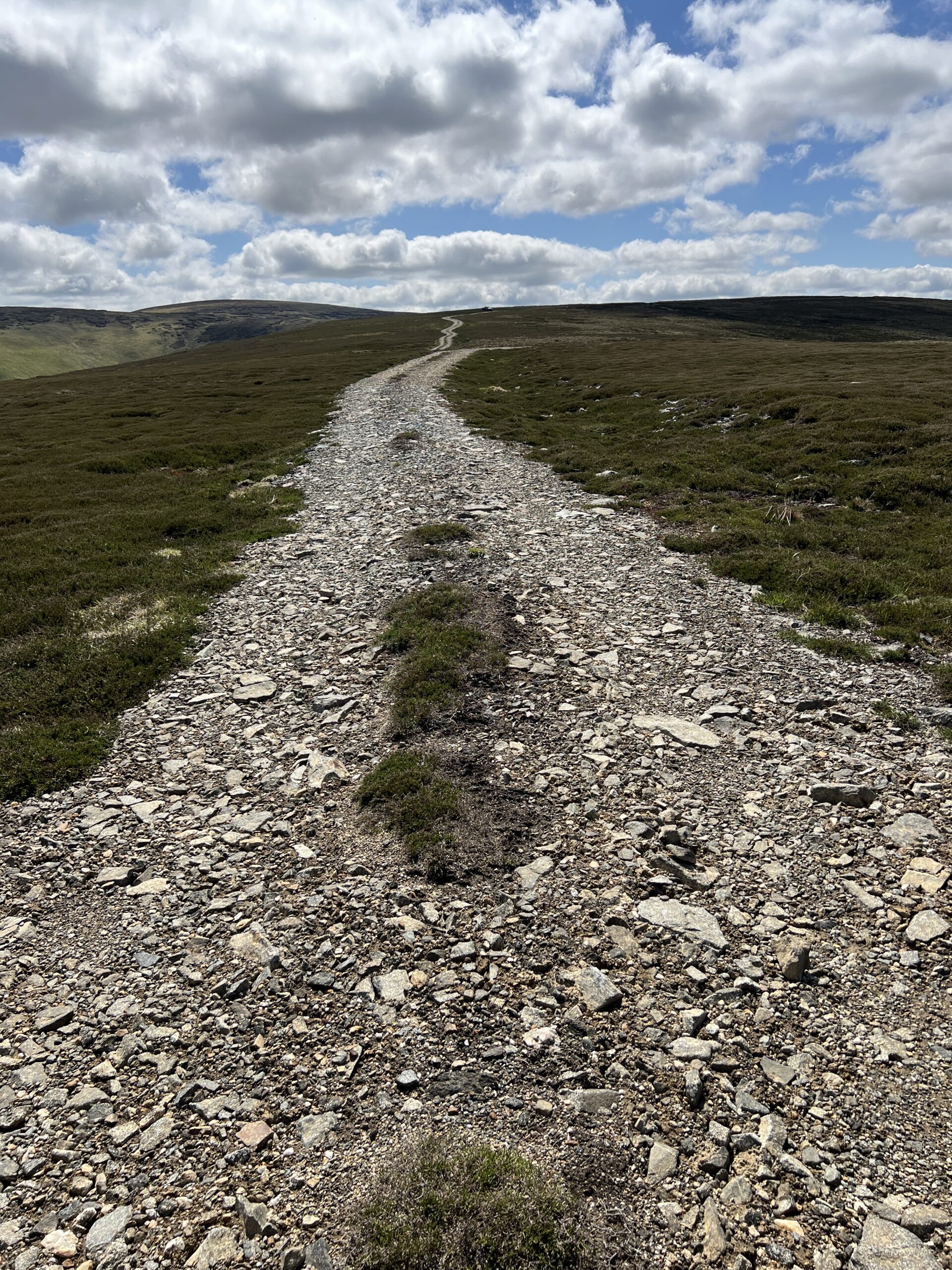
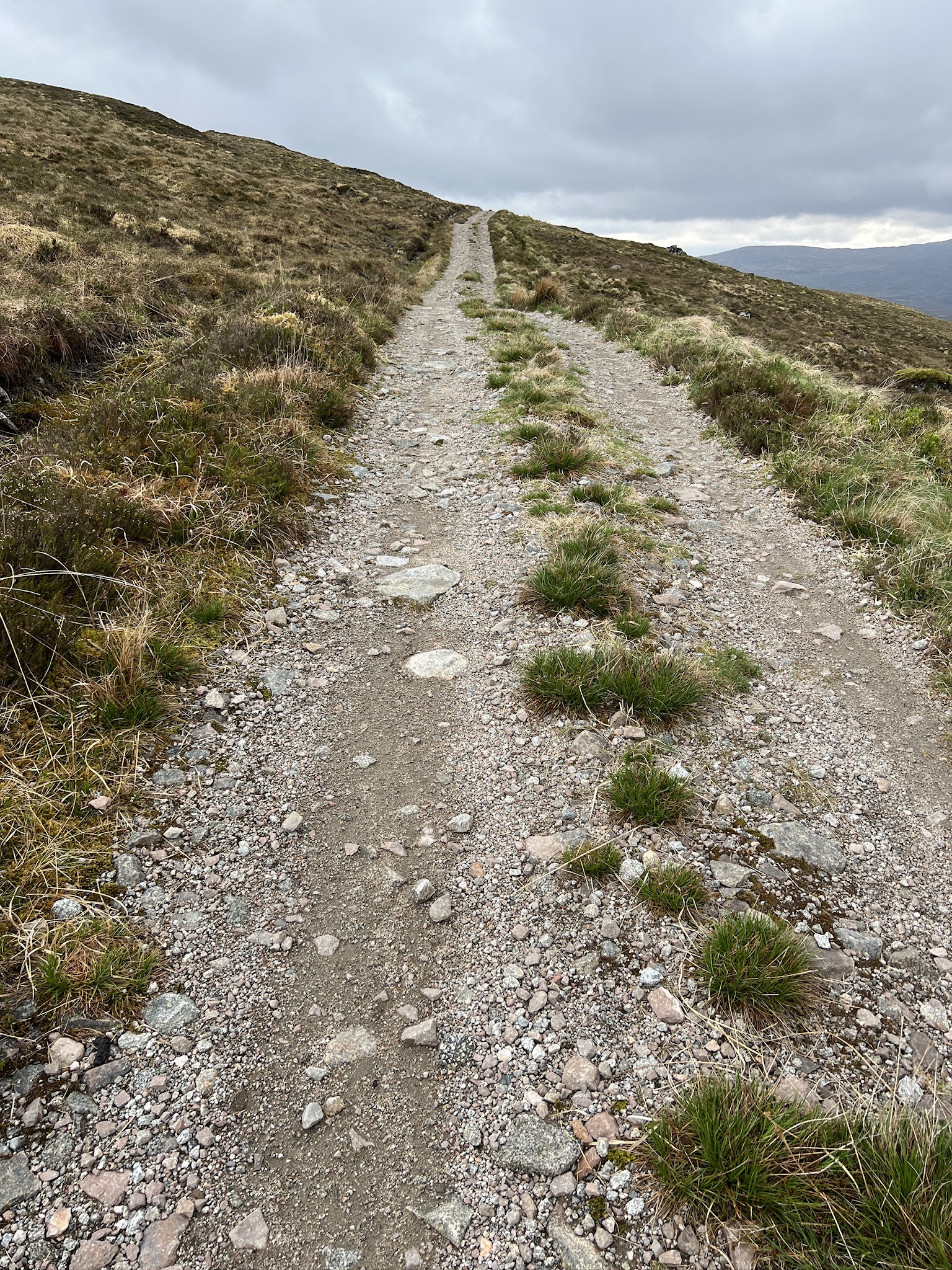
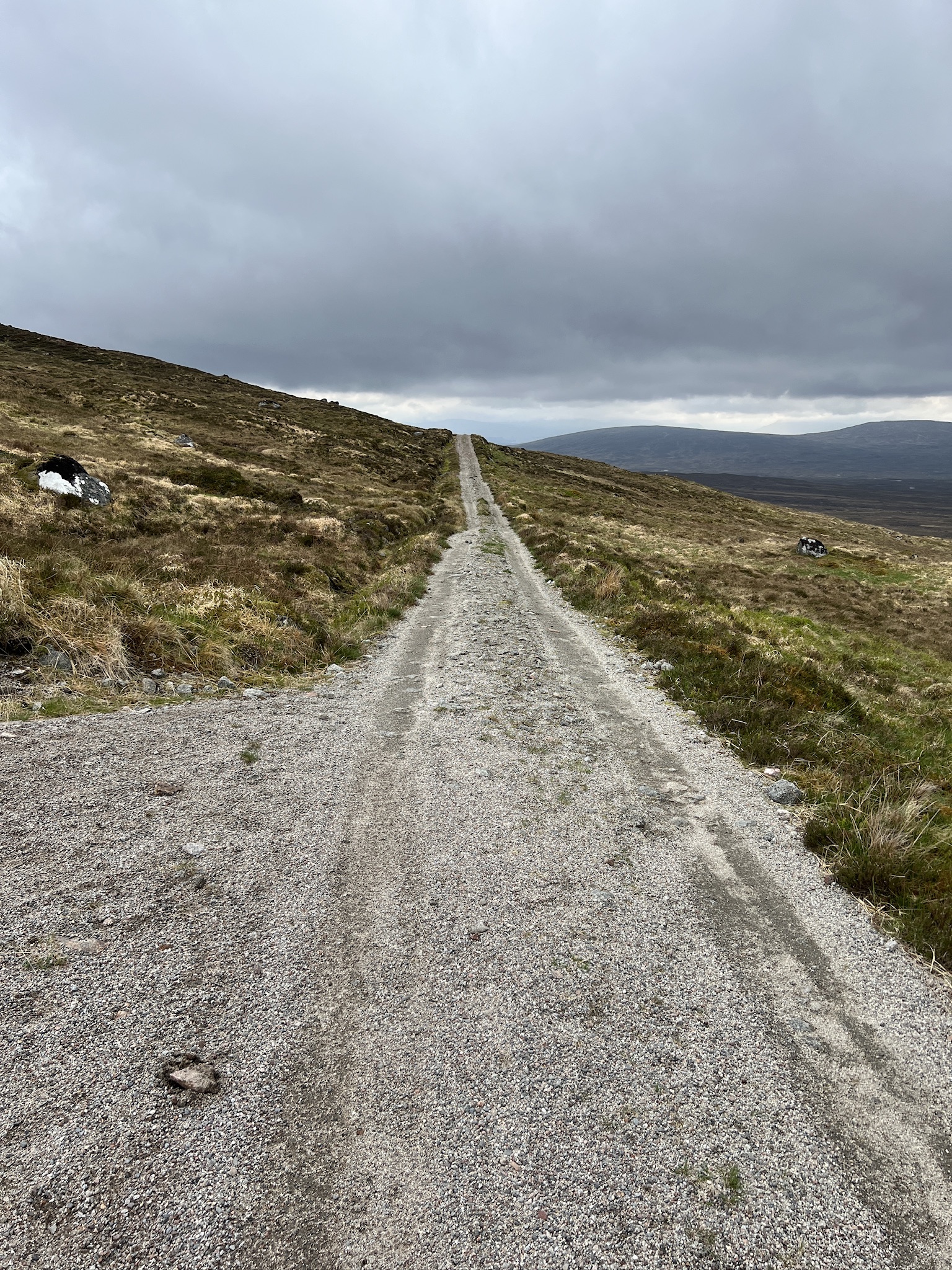
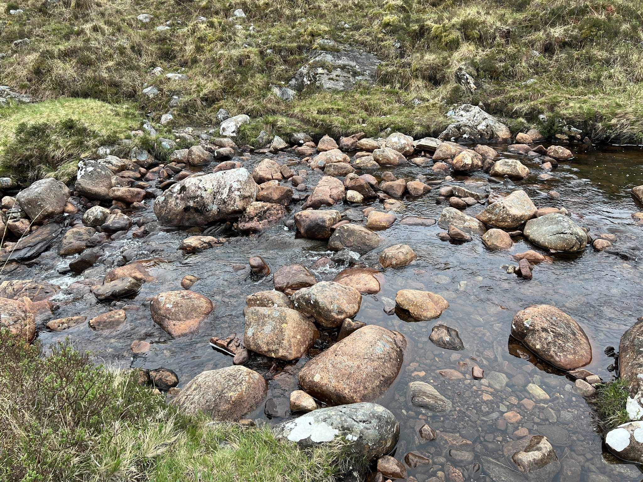
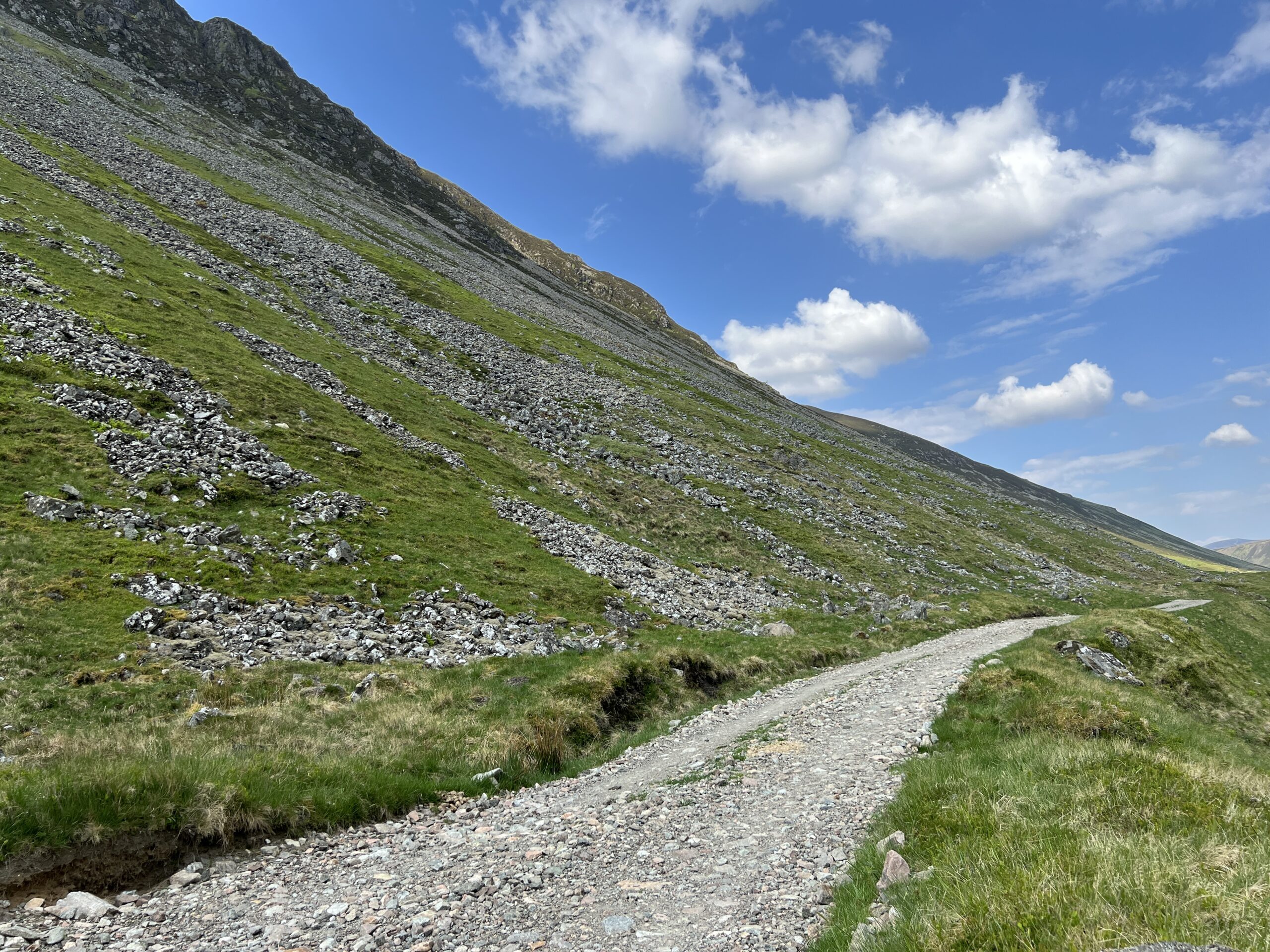
The canyon wall wasn’t steep. In fact, it wasn’t a wall in the normal sense, but a moderate slope of stable rock. It was easy to stop and inspect interesting things underfoot, like iron-bearing nodules that were inclusions in the rock.
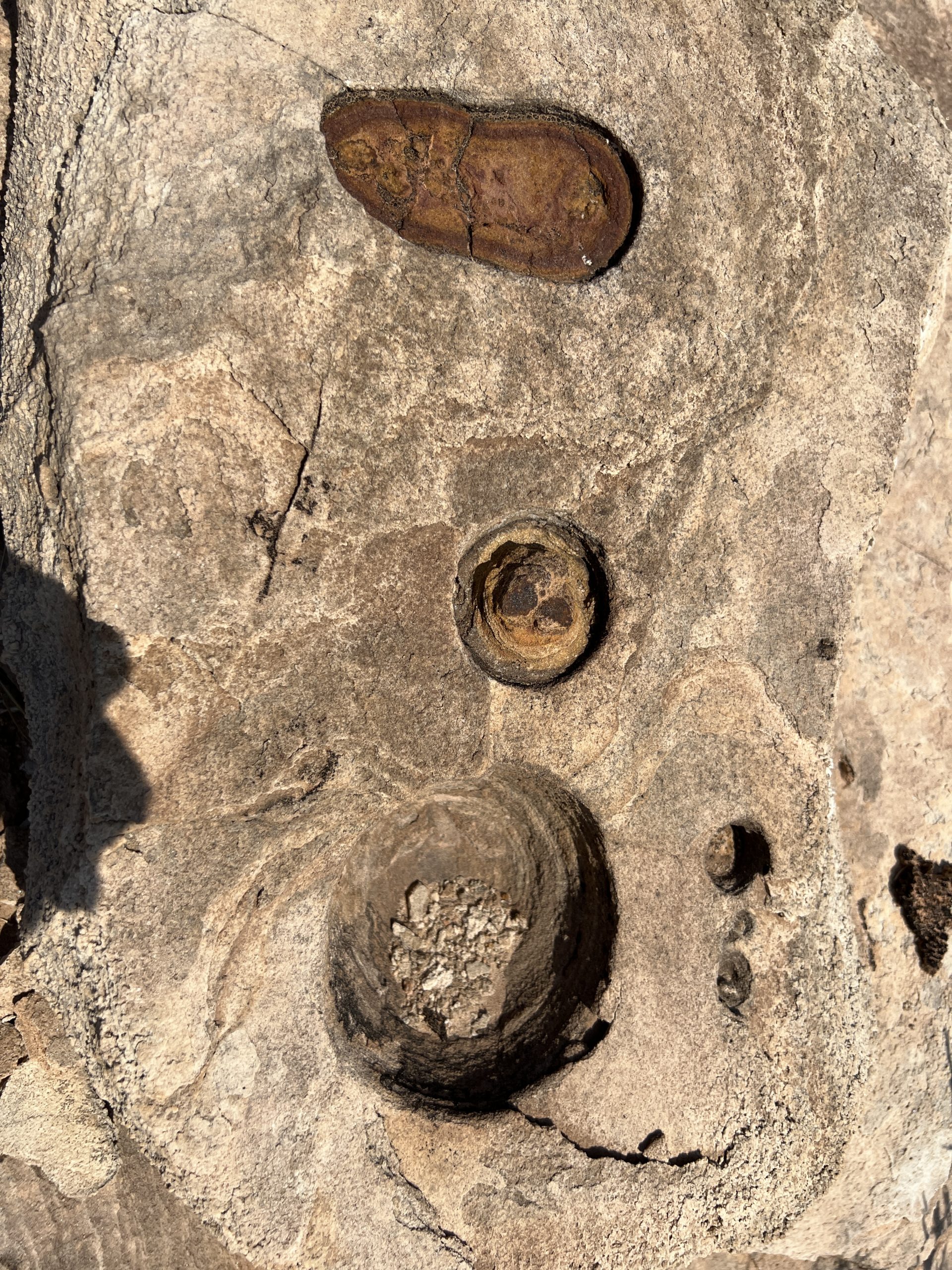
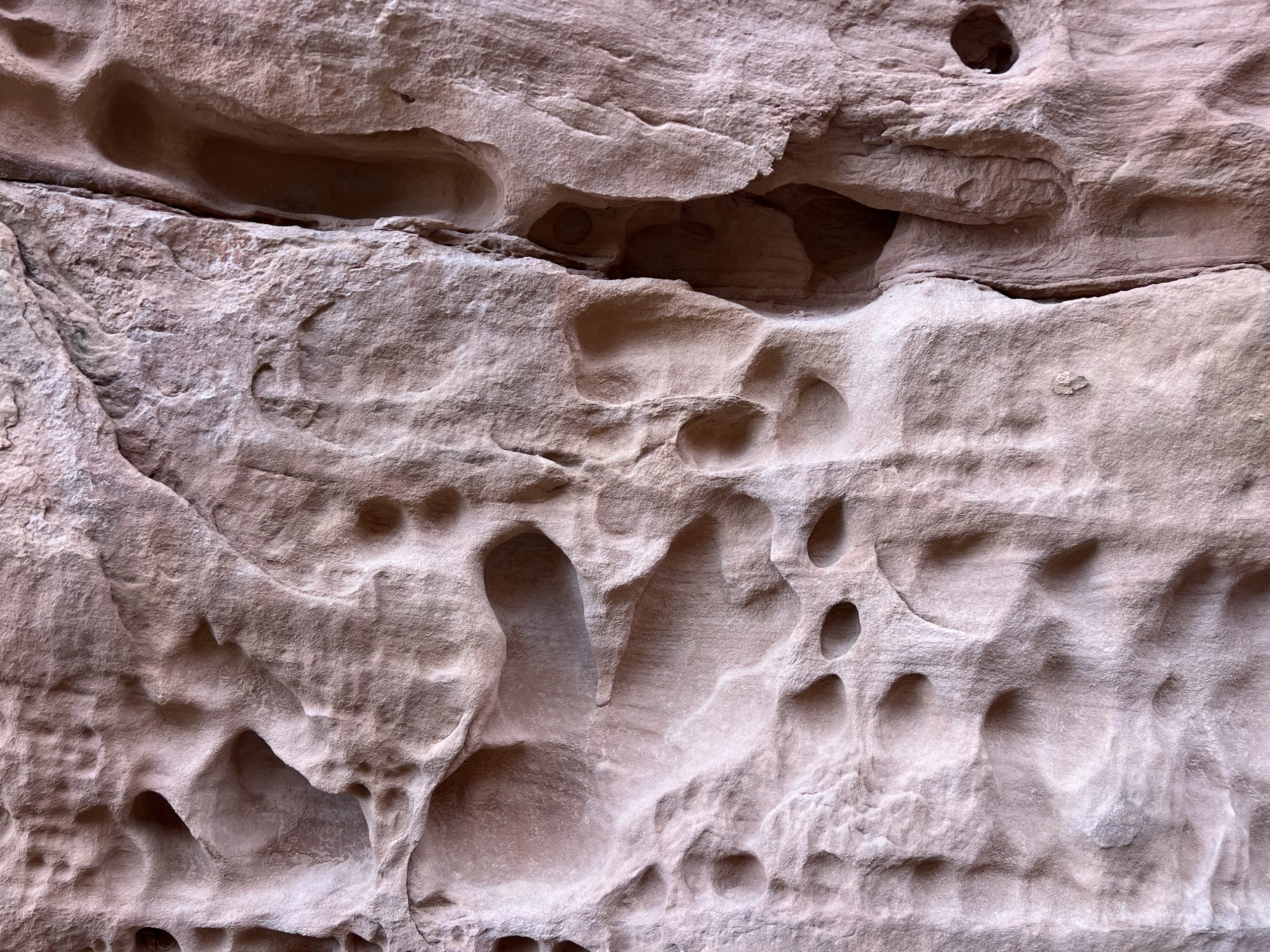
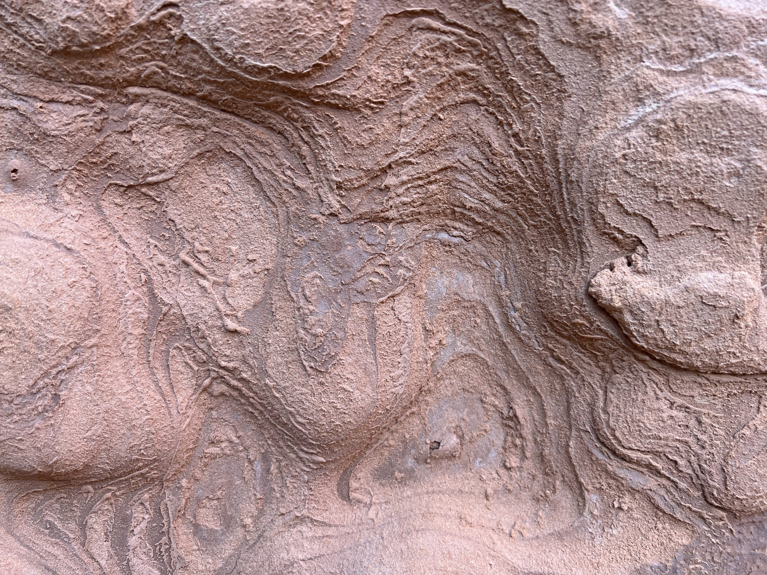
After climbing a while we moved off the pancaked layers and onto a streambed of pink, fine-grained rock. It looked to be from a different stratum or formation, but as it didn’t change with altitude that couldn’t be the reason. I concluded the coloring must have been from runoff after rainstorms, and in fact there was evidence it had recently carried water. Flat stretches were paved in damp sand; there were pink kettleholes full of dirty water.
We climbed up the streambed for a while and then exited to the right–the downriver direction–and got back on the stratified rock. Soon, we got to the top of the canyon. I was surprised to see that it was the top and not just a ledge with a second, higher slope above it. Major Powell rarely had it this easy, I thought.
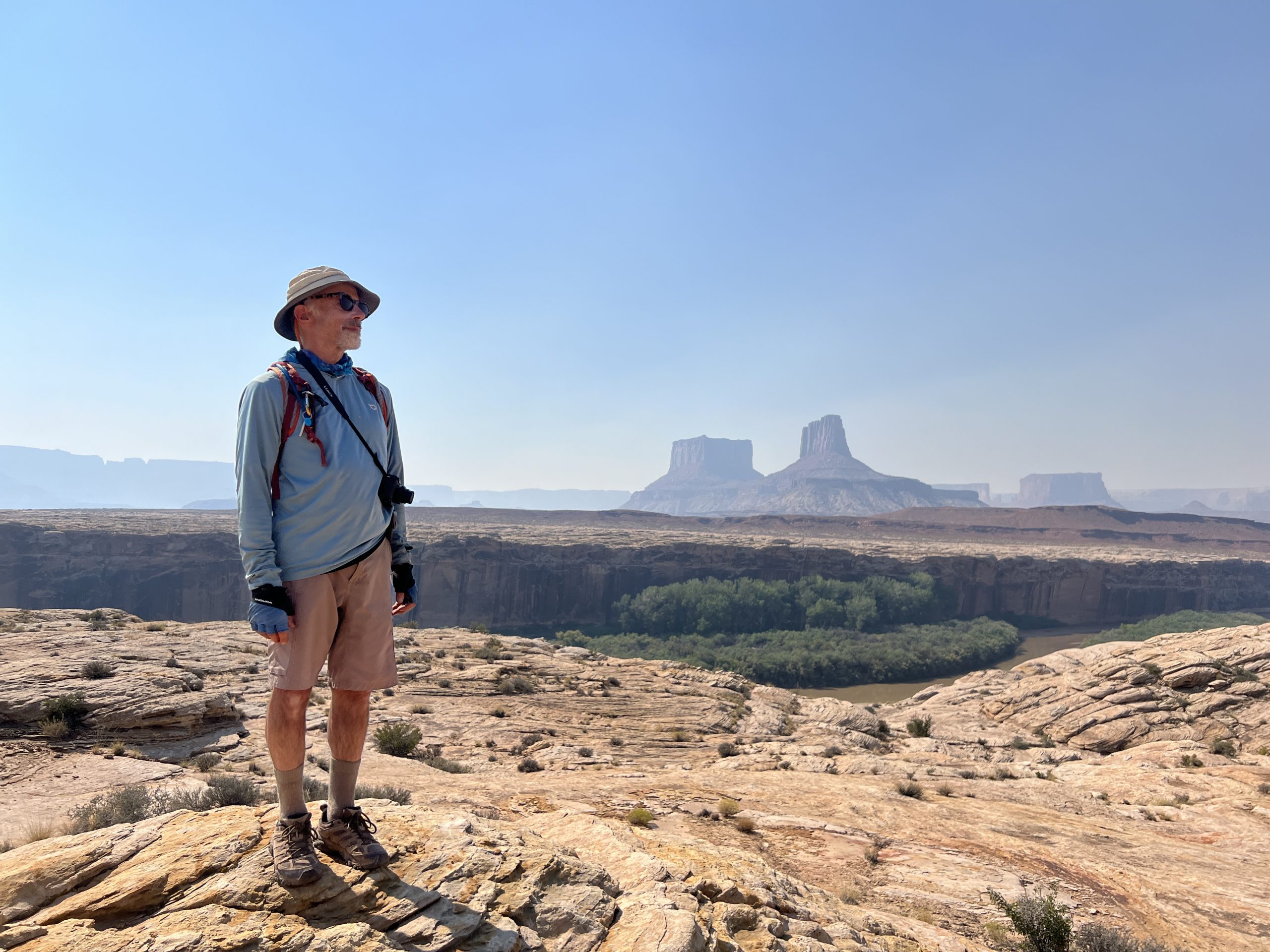
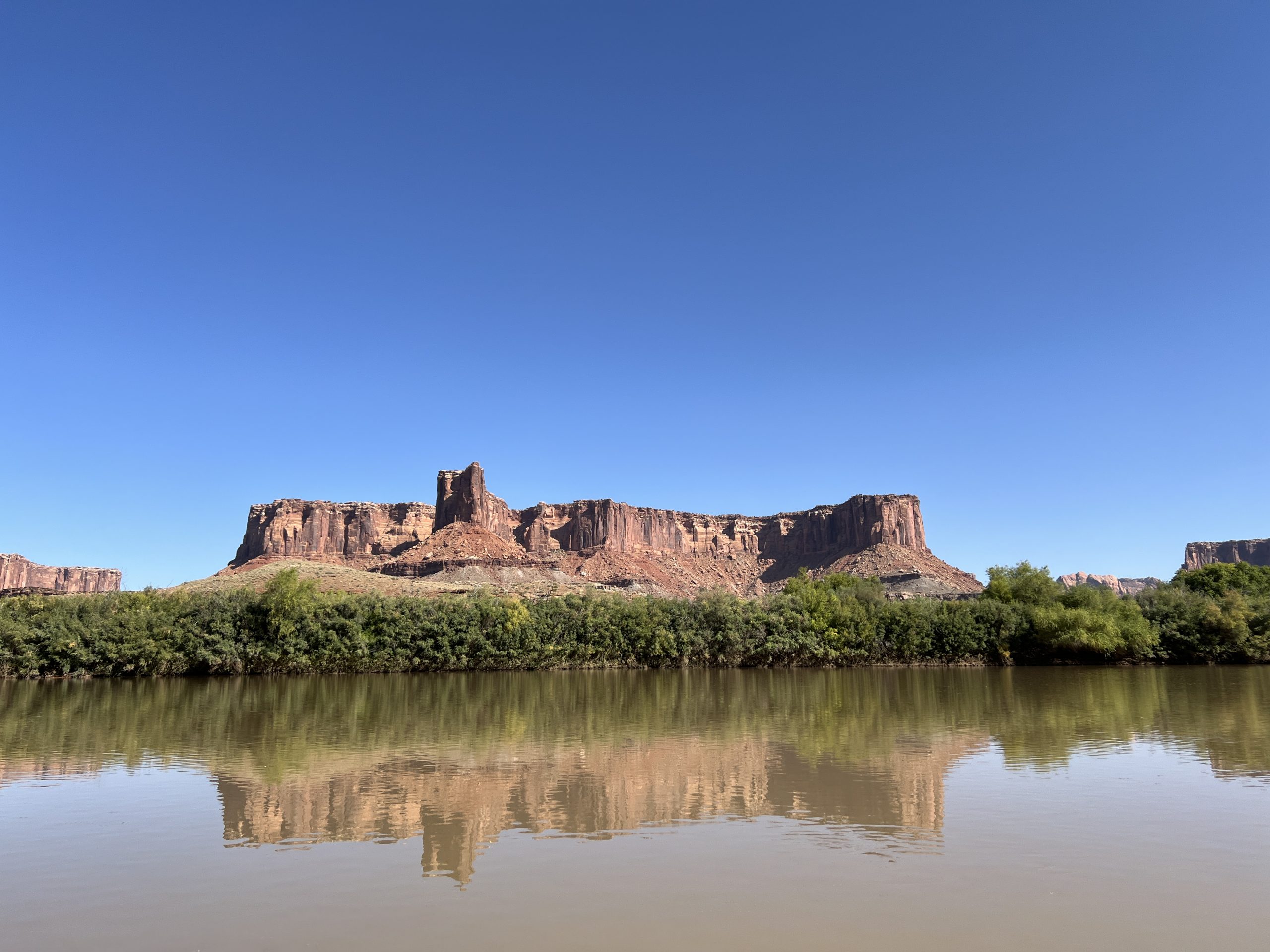
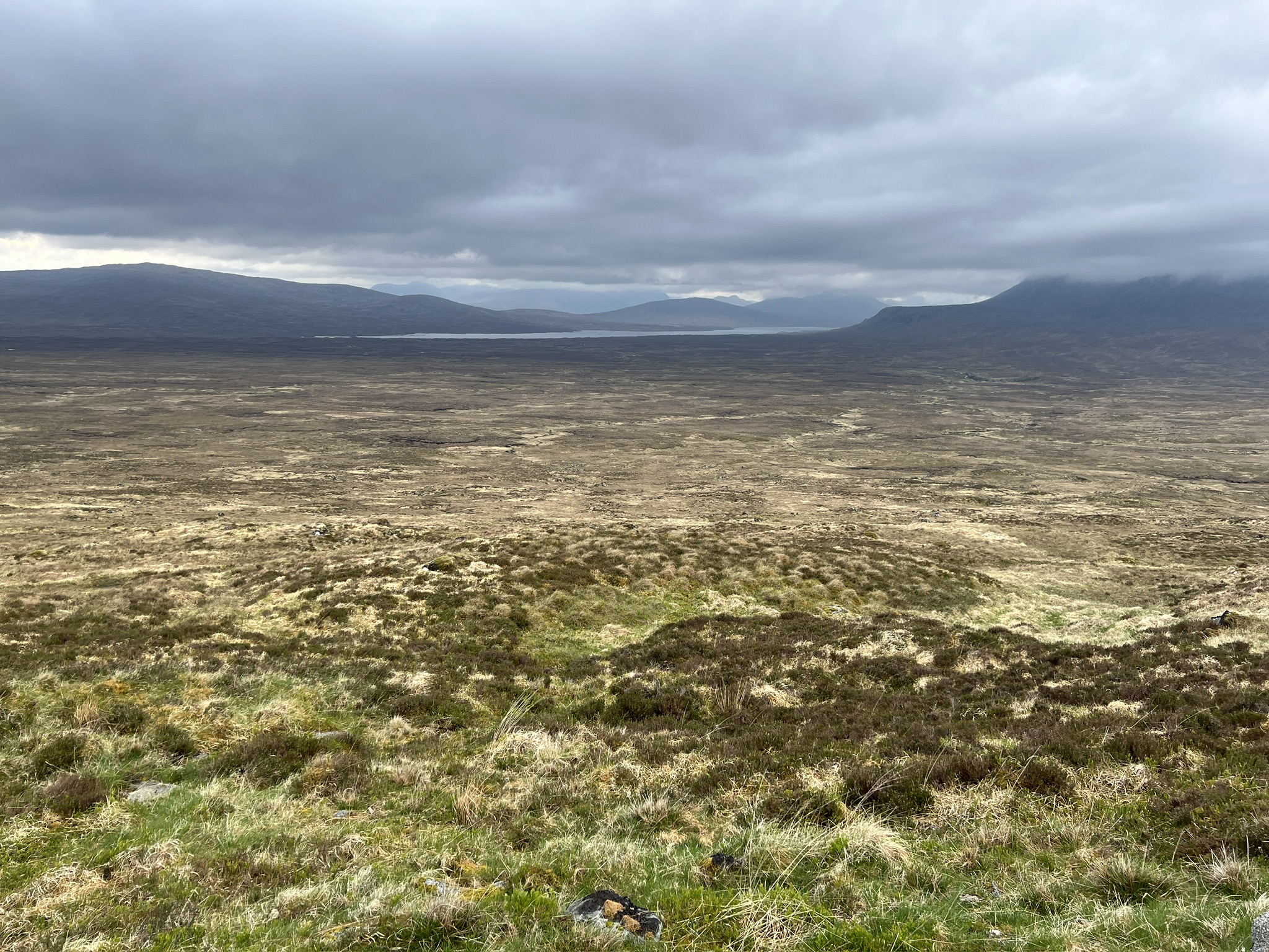
We walked around. There were great views of the river, and distant buttes and pinnacles.
Edward Abbey climbed to the rim near here when he rafted the Green in November 1980. In his essay “Down the River with Henry Thoreau” he wrote:
We can see the great Buttes of the Cross, Candlestick Tower, Junction Butte . . . Ekker Butte, Grandview Point, North Point, and parts of the White Rim. Nobody lives at those places, or in the leagues of monolithic stone between them. We find pleasure in that knowledge.
We felt a similar pleasure. However, that didn’t eclipse the realization it was 1 o’clock in the afternoon–the hour of peak sun–and hot. It was time to get back on the river.
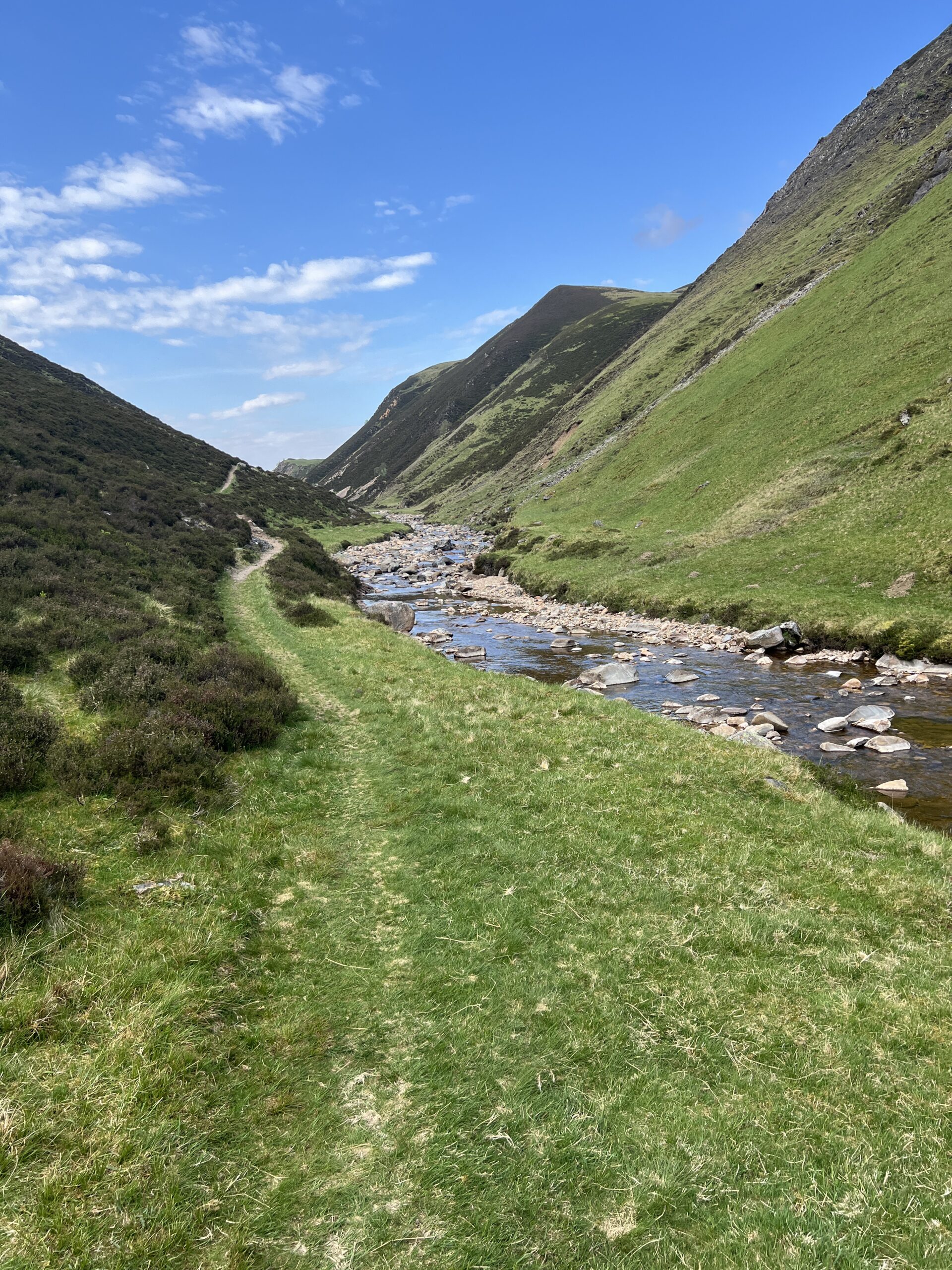
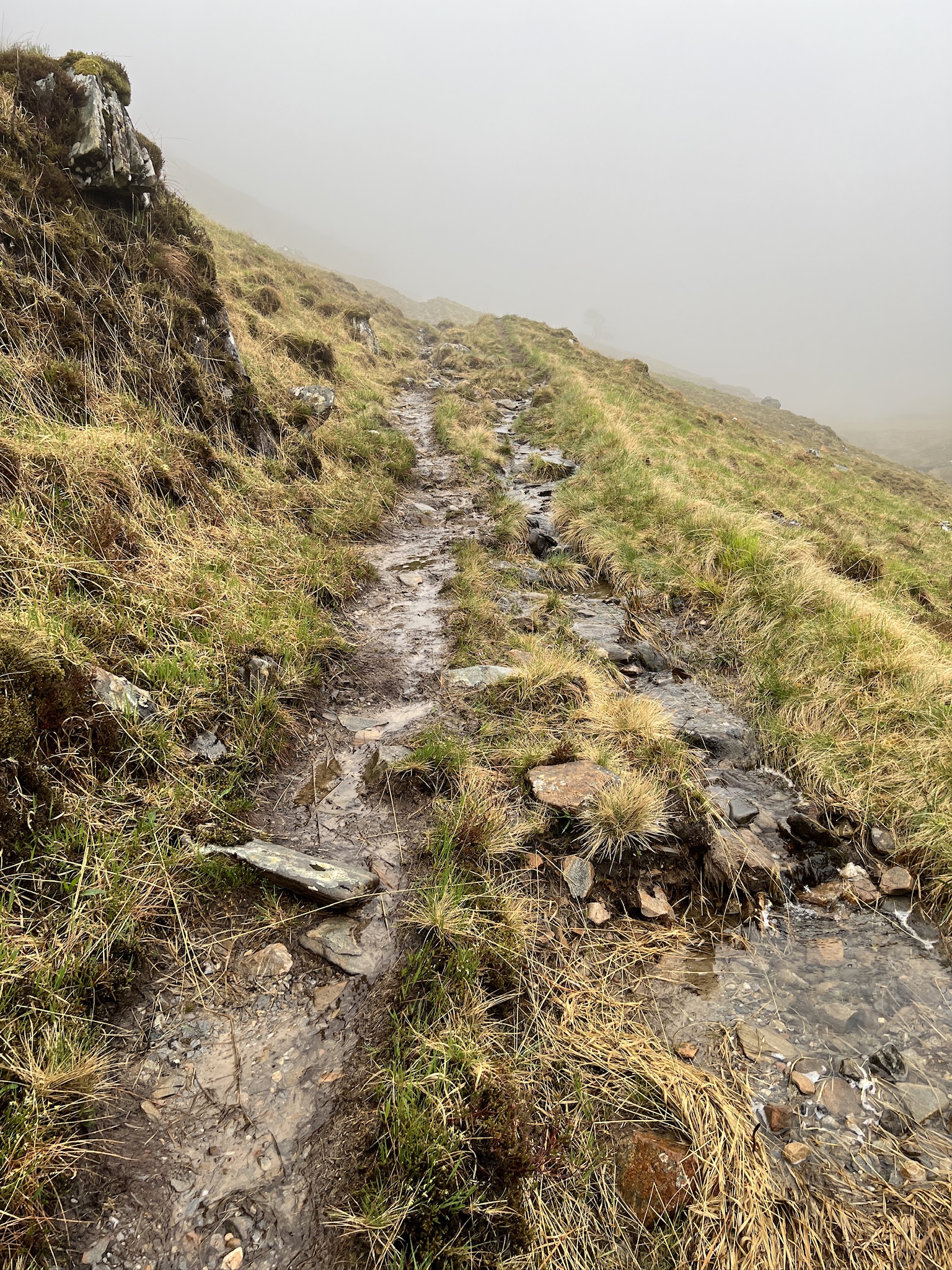
We wandered in the direction we’d come from and looked for the pink streambed. Neither of us had taken a bearing, either topographic or mental, of where we’d left it. But that hardly seemed to matter; once we found it all we’d have to do is walk down it to the river.
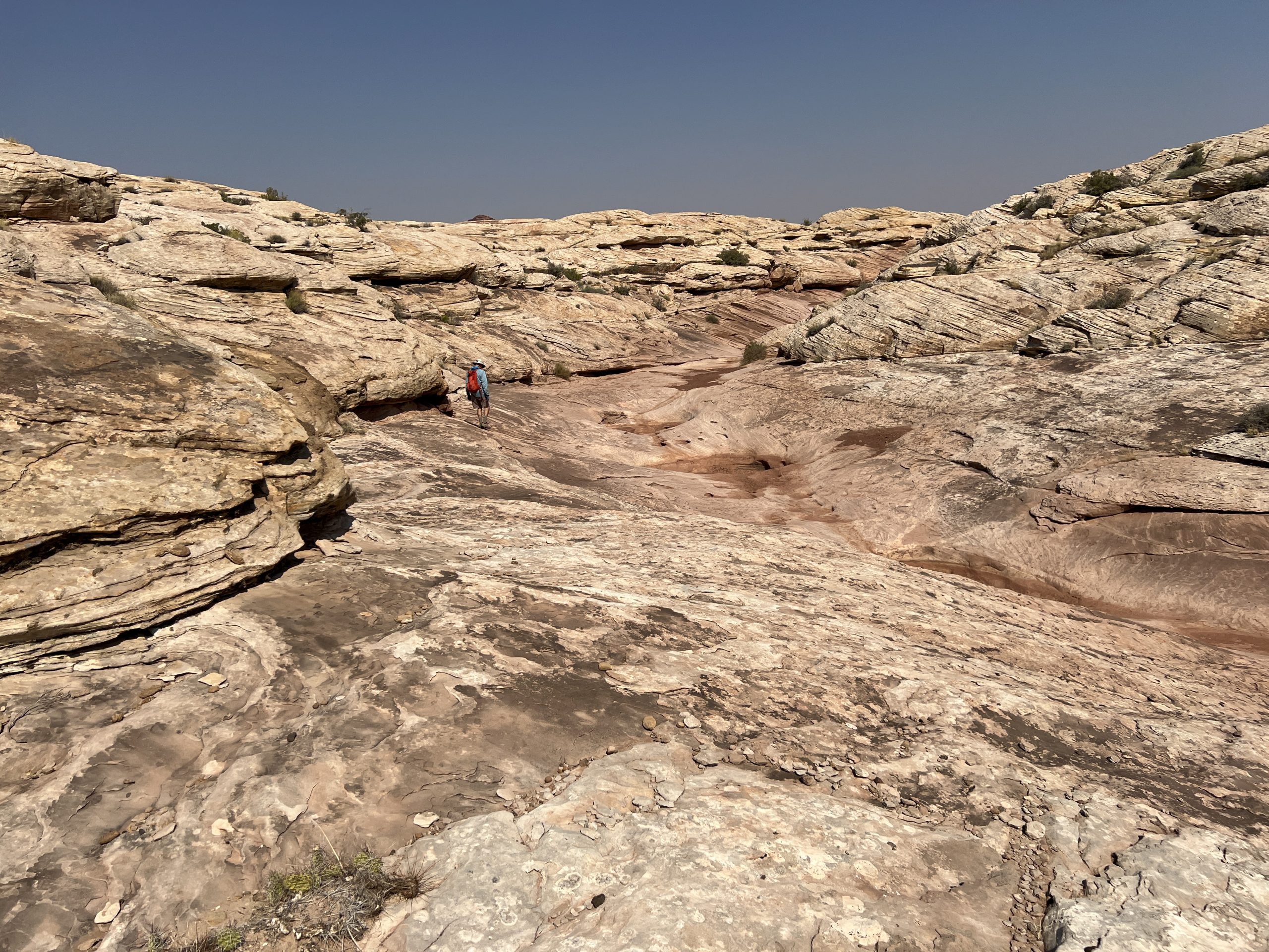
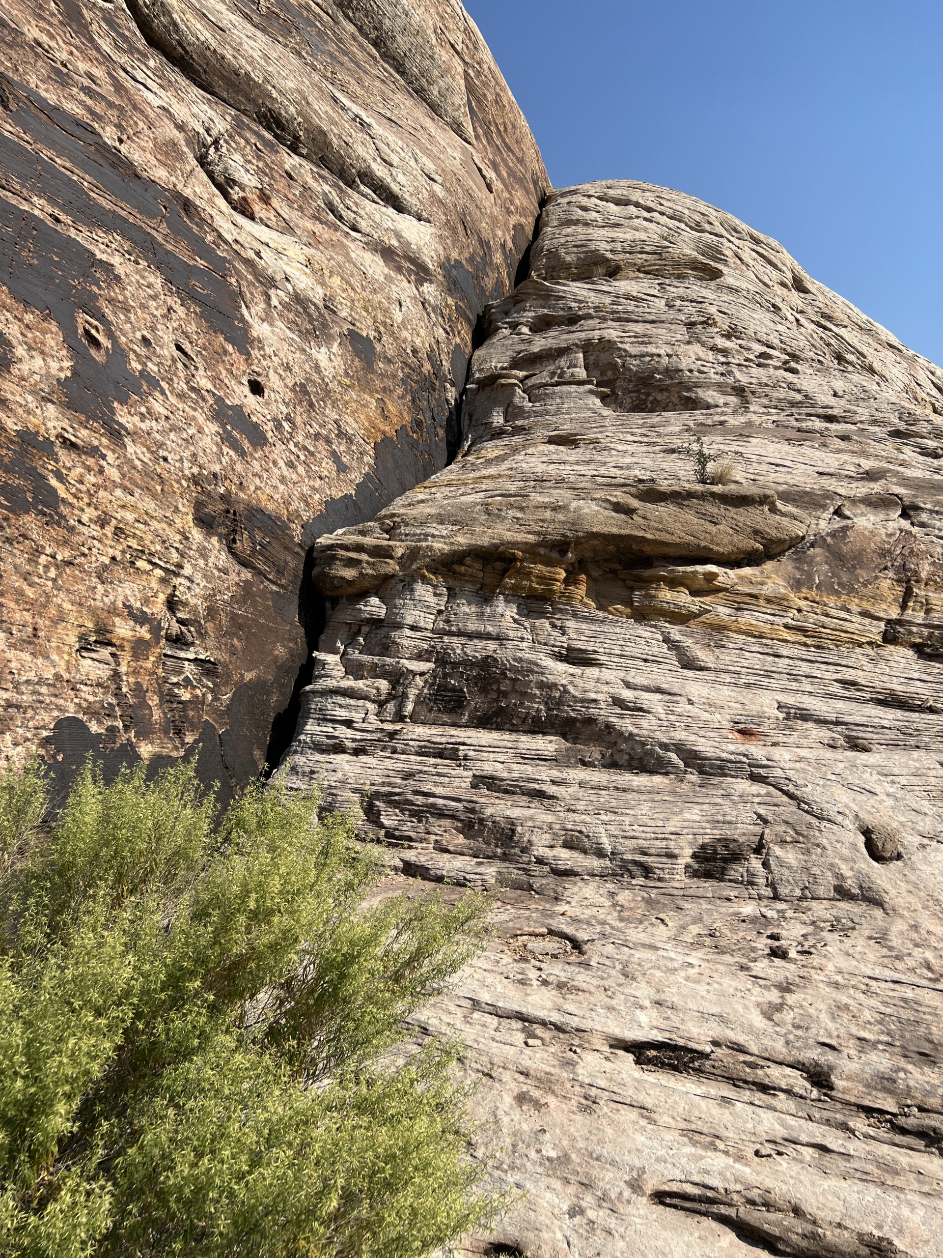
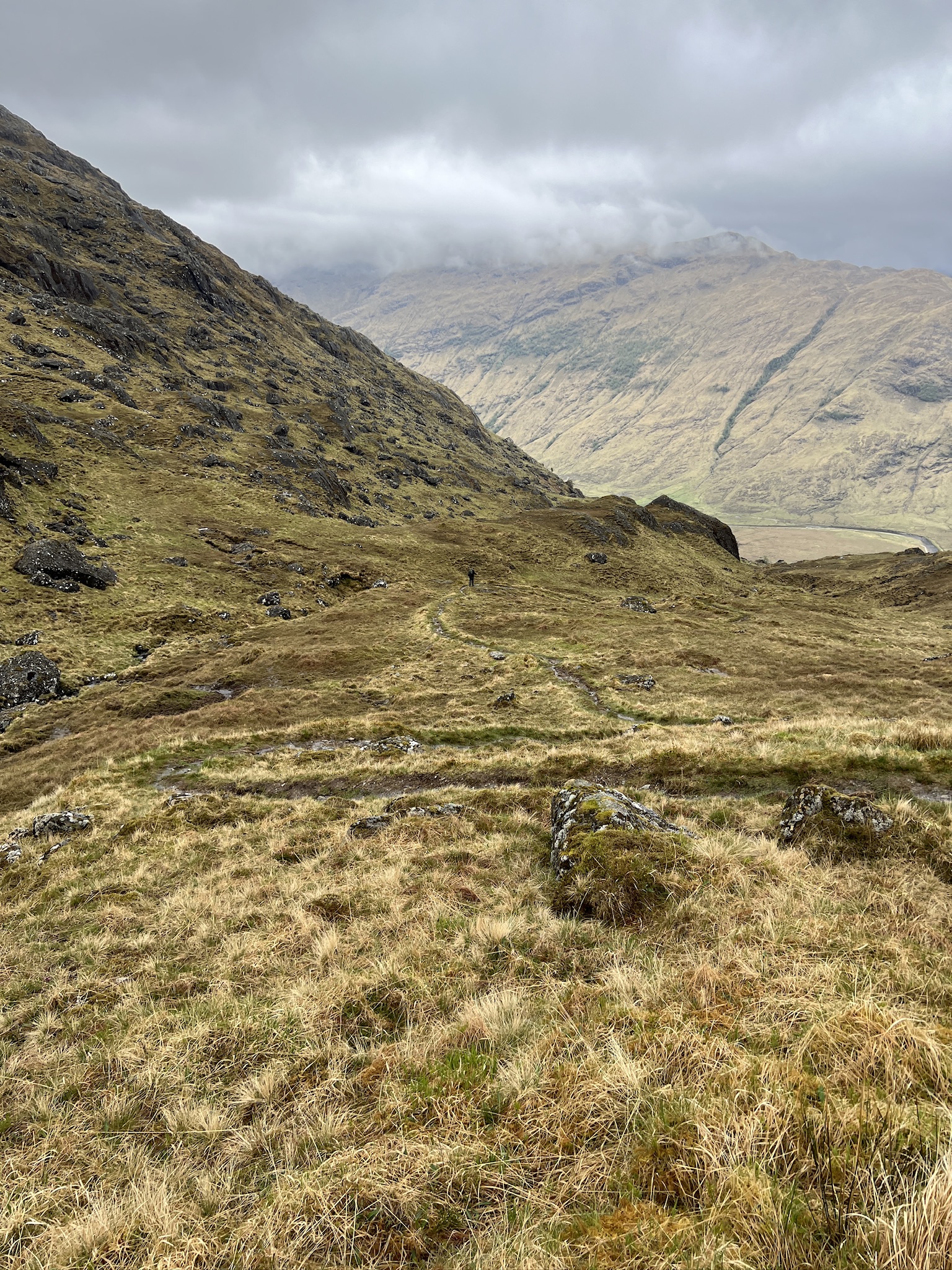
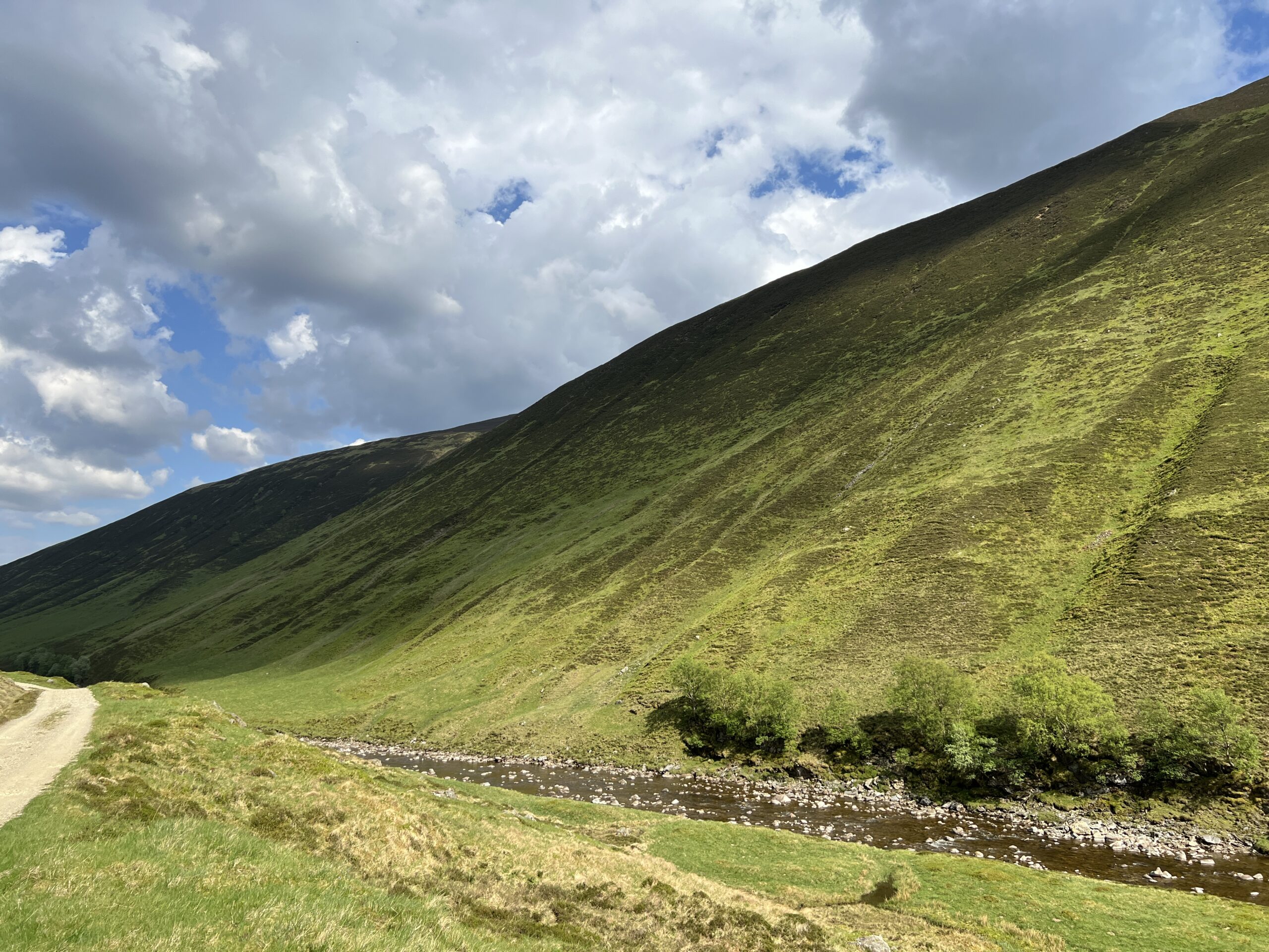
We found it and headed down. The problem was that the descent was nothing like the ascent. There were several bowl-shaped sections too big for a single step, and then to our surprise, a 40-foot drop, at the bottom of which was plunge-pool of algae-stained water.
We hadn’t seen any of this on the way up. This perplexed us. Could there be two pink streambeds? That seemed impossible, as we would have crossed the second one on our way to the top.
It was clear we couldn’t go down this streambed, so we crossed it and walked along the slanting rock face. We looked for a way to get back on the streambed below the 40-foot dry waterfall, but there was no way that wasn’t impossibly steep.
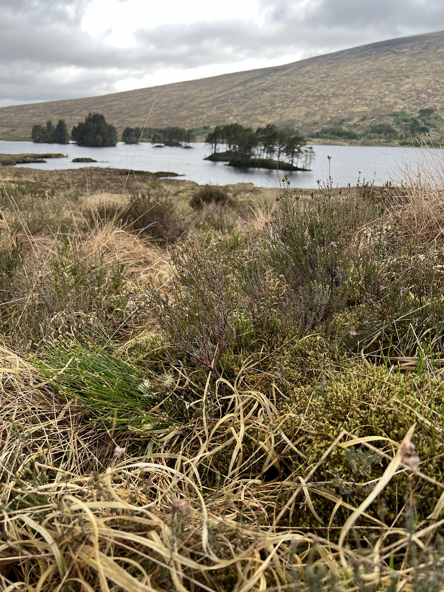
We went back to the canyon rim, looked around, and then started walking in the upriver direction. Perhaps there was a place where the river-facing wall sloped gently enough for us to walk down. Every time we thought we’d found one, however, it was interrupted by a ledge or cliff or something we couldn’t climb down.
We kept walking. We thought about going on until we reached a side canyon upriver we’d paddled past. However, it was at least a mile away, and there was no guarantee there’d be a safe way down to the river once we got to it. We decided it wasn’t worth the gamble.
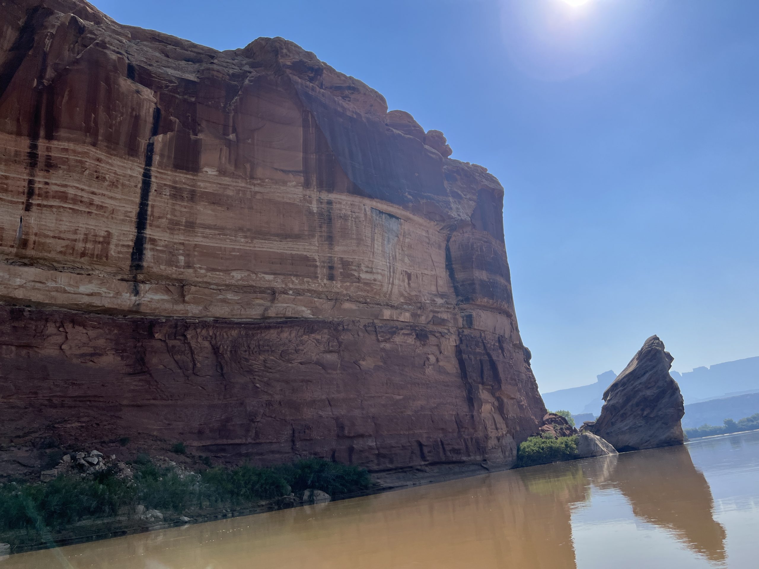
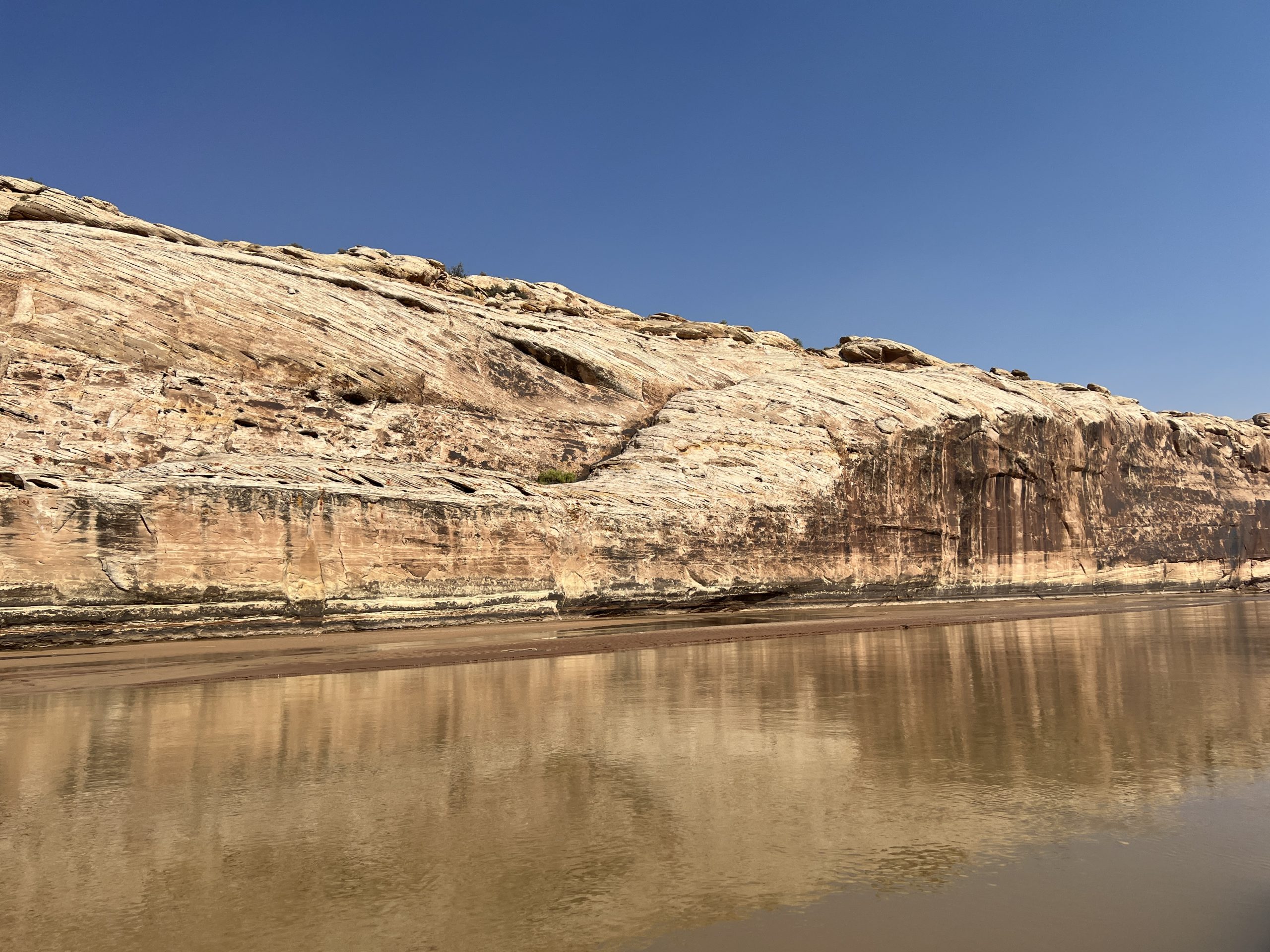
If we’d walked in the downstream direction, this is what the intersection of the next side canyon and the river looked like. There was not remotely a way down.
At this point we were getting a bit anxious and decided to go back across the streambed and up to the top where we’d first taken in the sights. At least there we’d know where we were and could start our search anew.
Unfortunately, when we got there we had no flash of insight. We still couldn’t find a way into the lower part of the pink streambed without going down dangerously steep rock. In truth, we really didn’t know where we were.
Here it’s worth noting how unprepared, and lacking in situational awareness, we were on this outing.
Larry had an app on his phone that laid down a track as we moved–we were using it on the river–but he didn’t have it with him. I had a bottle of water and a knife. Larry had some water and a little food. We had no headlamps, trekking poles, extra clothes, or shelter.
We’d been wandering and climbing for more than an hour in the bright sun. Sooner or later we’d get tired and dehydrated–and eventually cold. We gave up on the streambed and began a concerted search for another way down the canyon wall. (We never did figure out whether we entered and exited the pink streambed below or above the impassable section.)
We examined what looked like routes back to the river only to find they were too steep, or ended at cliffs. We did file away a couple of marginal ones we could hazard if things got desperate.
What had happened to the three routes up we’d seen from the lunch spot? We were addled enough that we couldn’t remember where they were. But the bigger problem was that everything looks different looking down from how it looks looking up.
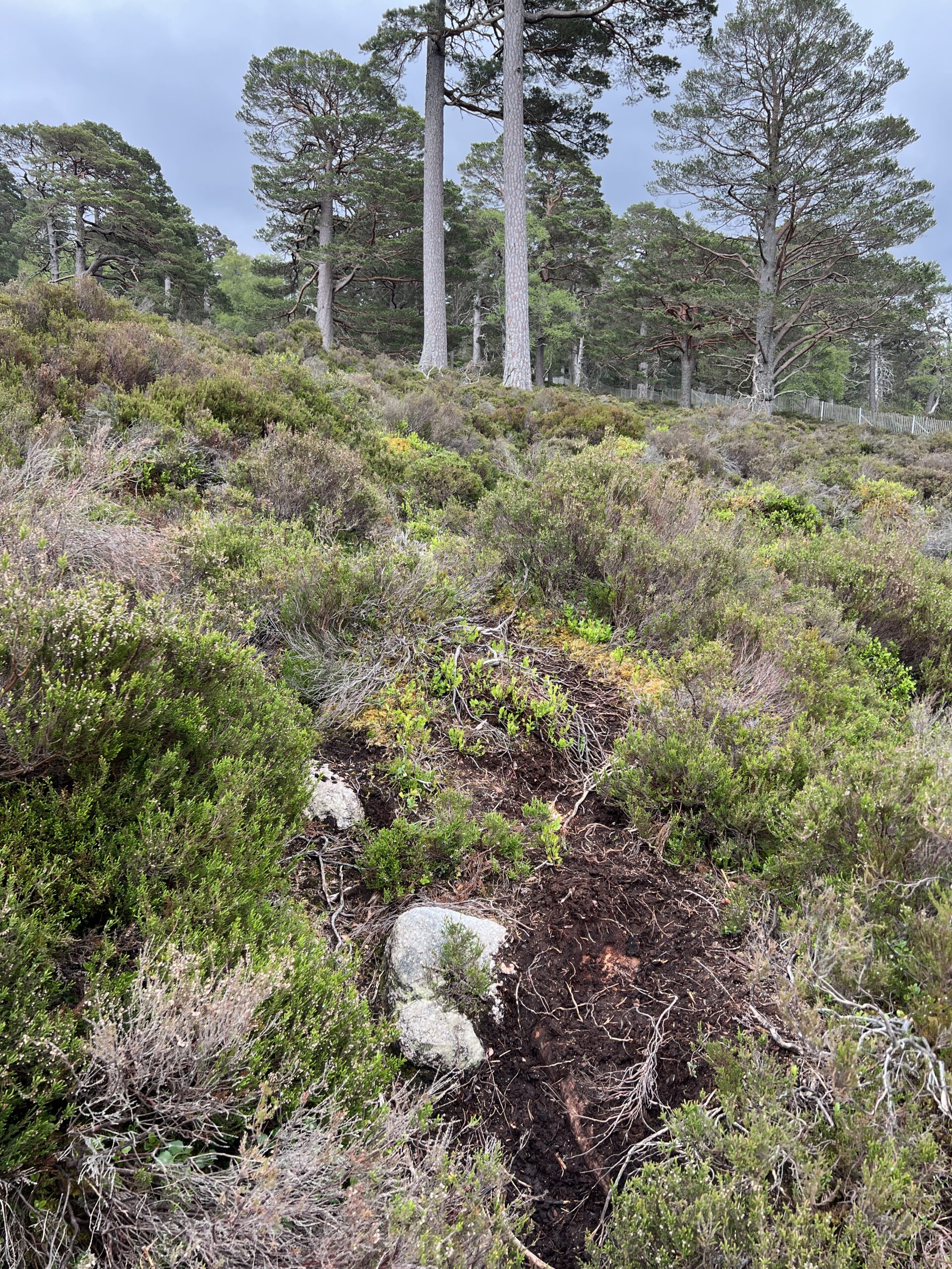
I won’t drag things out. Larry eventually found a route that appeared doable. A long fissure went down the rock’s steepest section. It was a place to find handholds, and also to catch an ankle. But the fissure’s presence was somehow reassuring.
Larry went first. We descended on hands, feet, and buttocks, our backs to the rock for maximum friction. Once Larry got to the bottom I rolled my water bottle down to him. We each stayed in control, and at the bottom there was a long plateau with an easier descent to the river. This is the view of the steepest part.
Over the course of the afternoon we made jokes about the bodies of two old men found dessicated above the left bank of the Green River. Or maybe never found. The New York Times Magazine had a story in 2018 about a 66-year-old man, a runner and hiker, who went on an outing in Joshua Tree National Park in 2010. He never came back. Dozens of people looked for traces of him for years.
“It looks kind of benign to a person who drives through it,” a 19-year-veteran of Joshua Tree Search and Rescue is quoted in the article as saying. “But there are so many areas where you can get lost and not even realize it until you’re lost. You can’t look back and figure out, ‘Where did I come from?’ ”
We weren’t nearly that confused. But we were a little confused, and inadequately prepared and self-aware–and lucky.
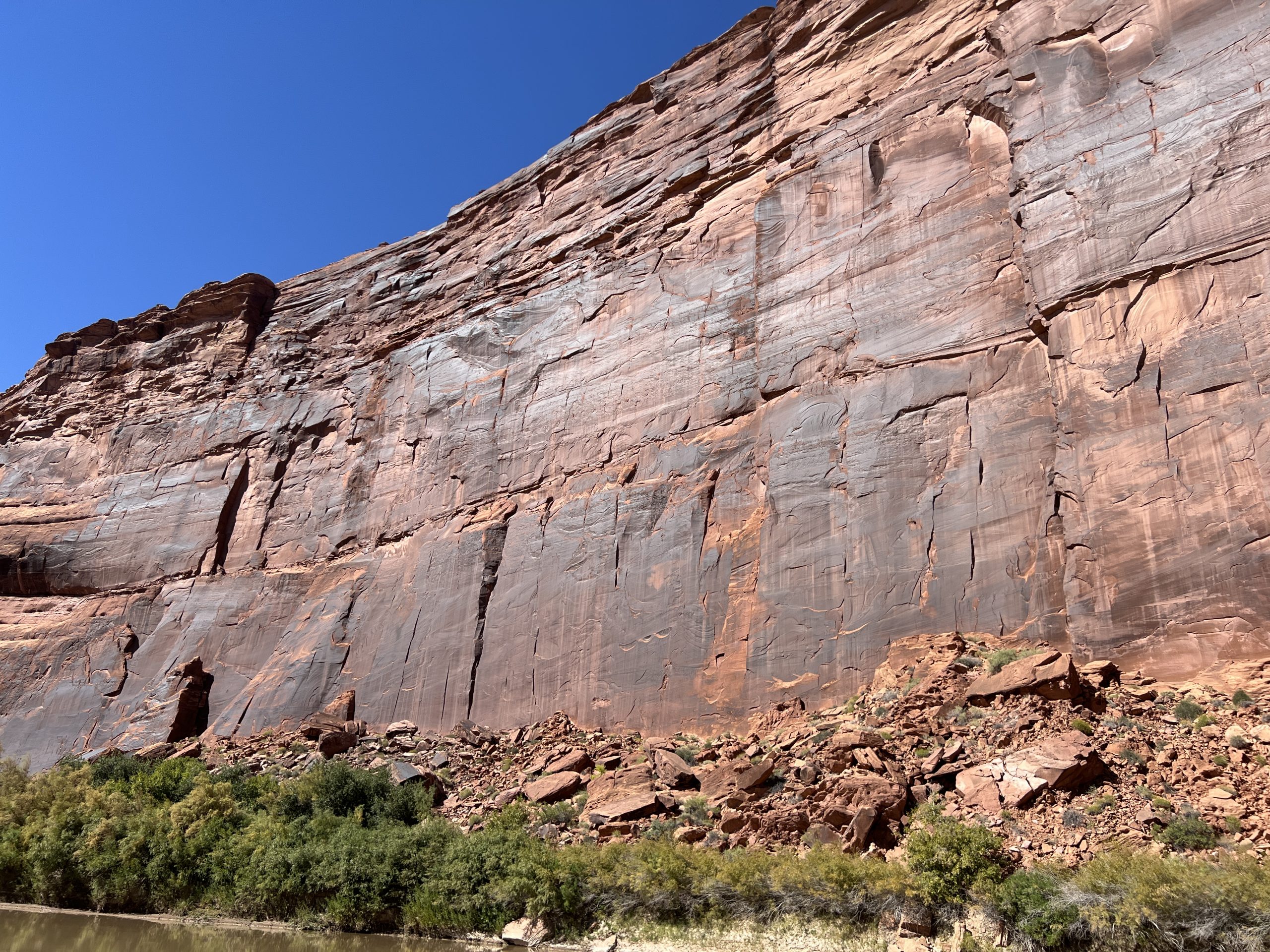
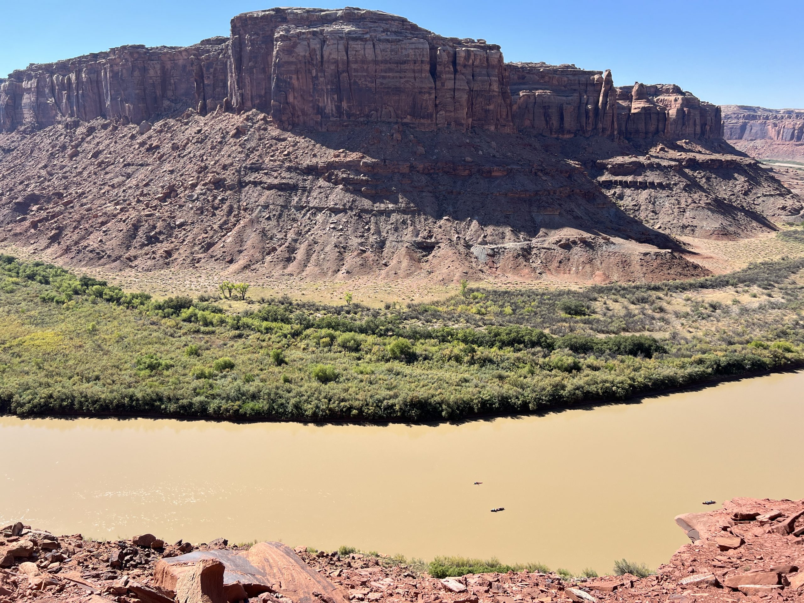
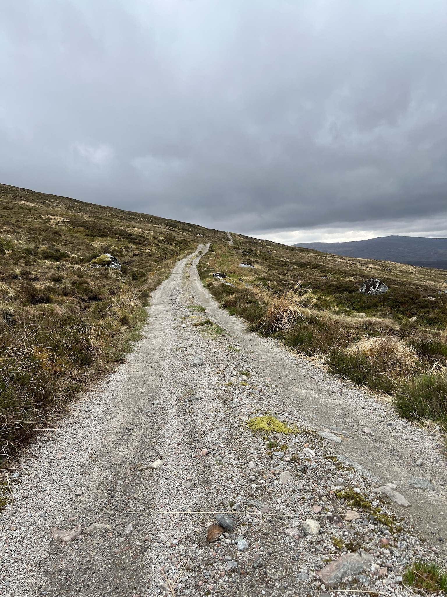
As we headed down river in the boat, I looked to the left and saw where we’d descended. It’s the diagonal line in the middle of the picture, the high end on the right and the lower end on the left.
It doesn’t look like much. The Major would have shaken his head.


Recent Comments