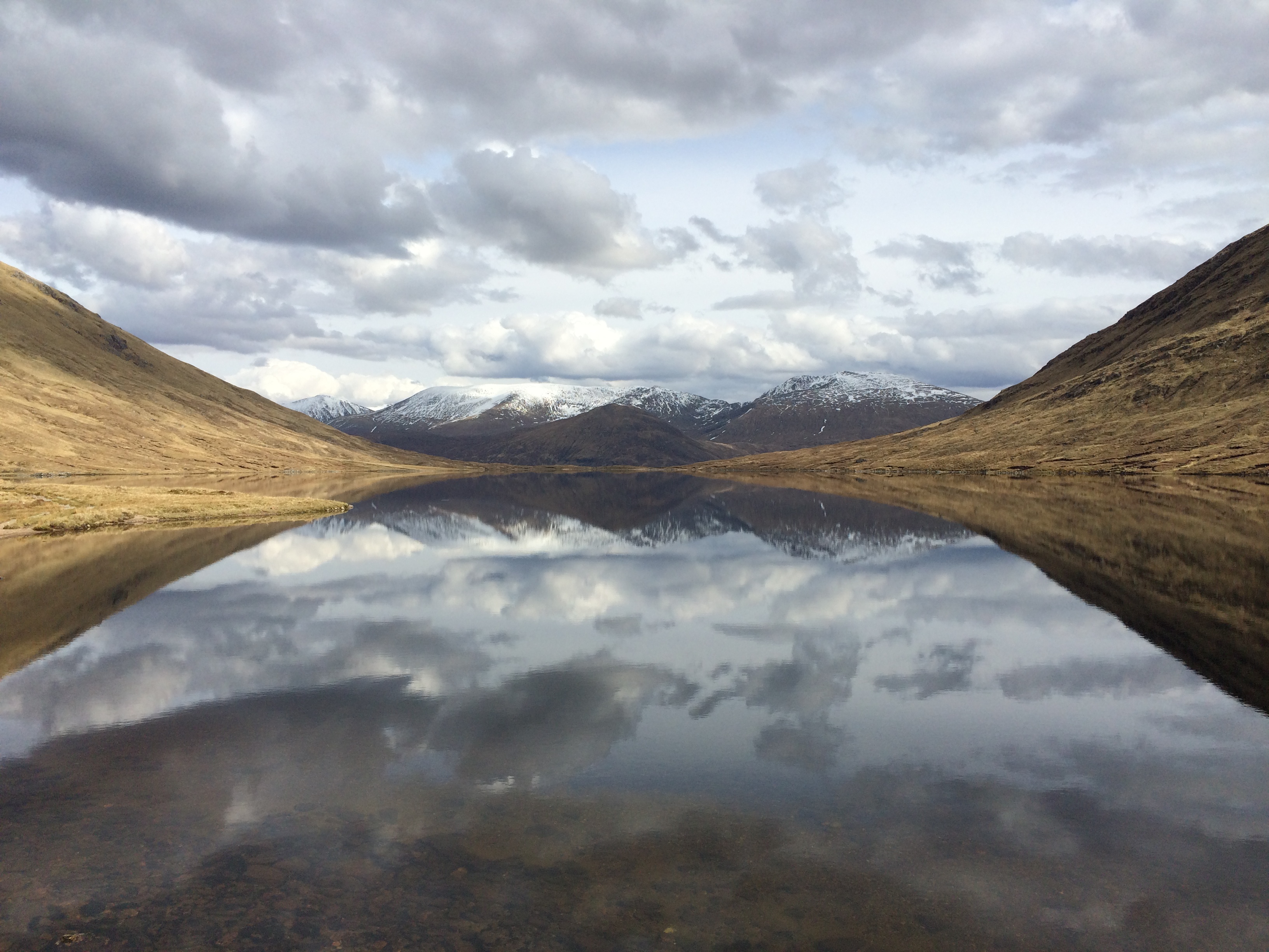
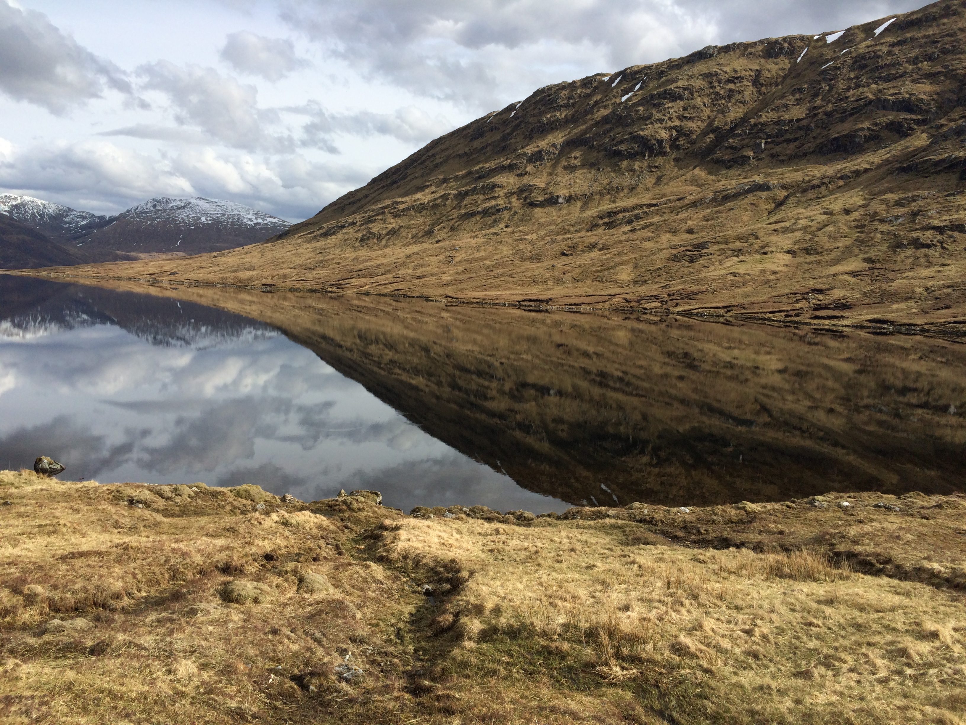
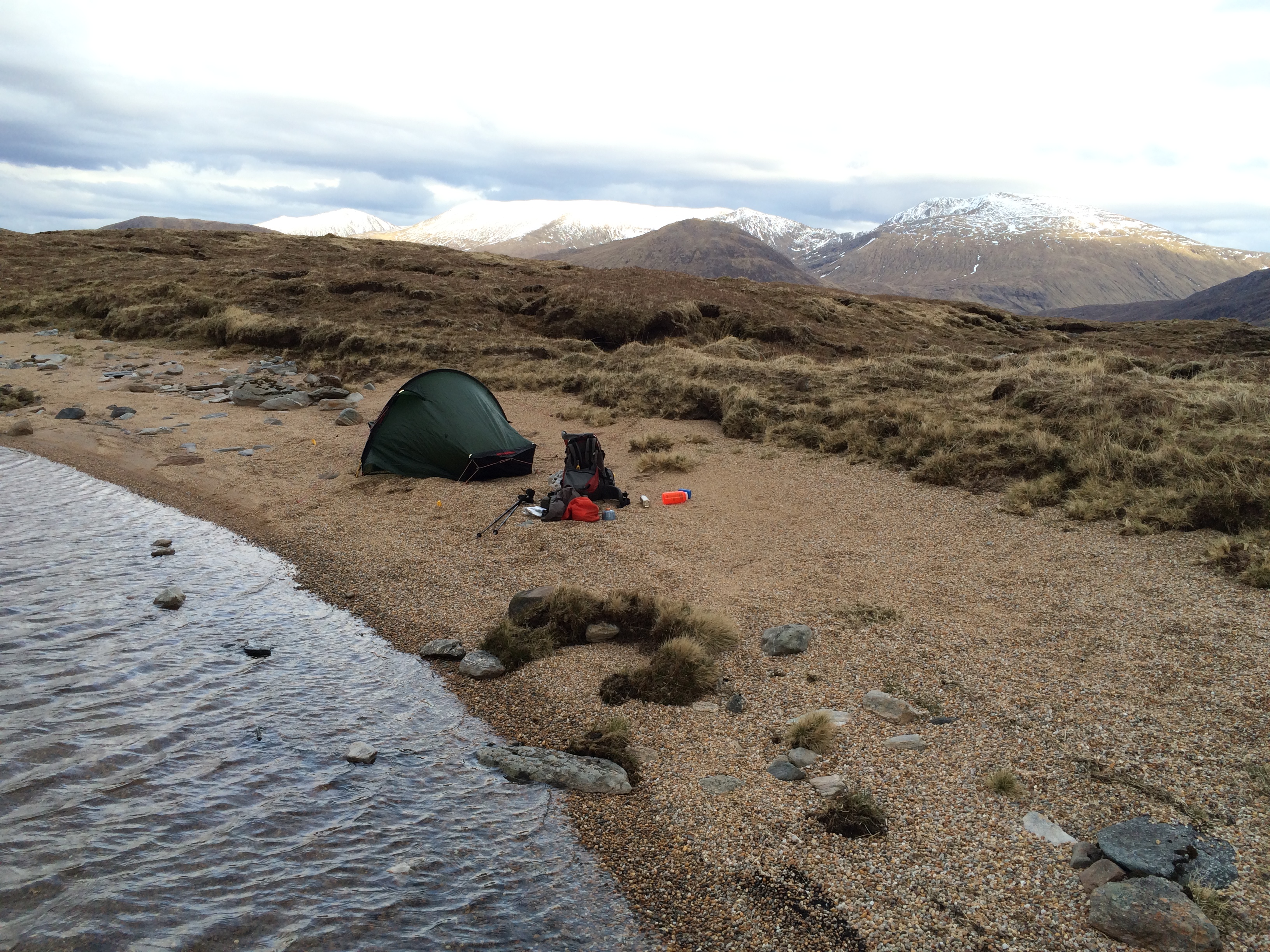
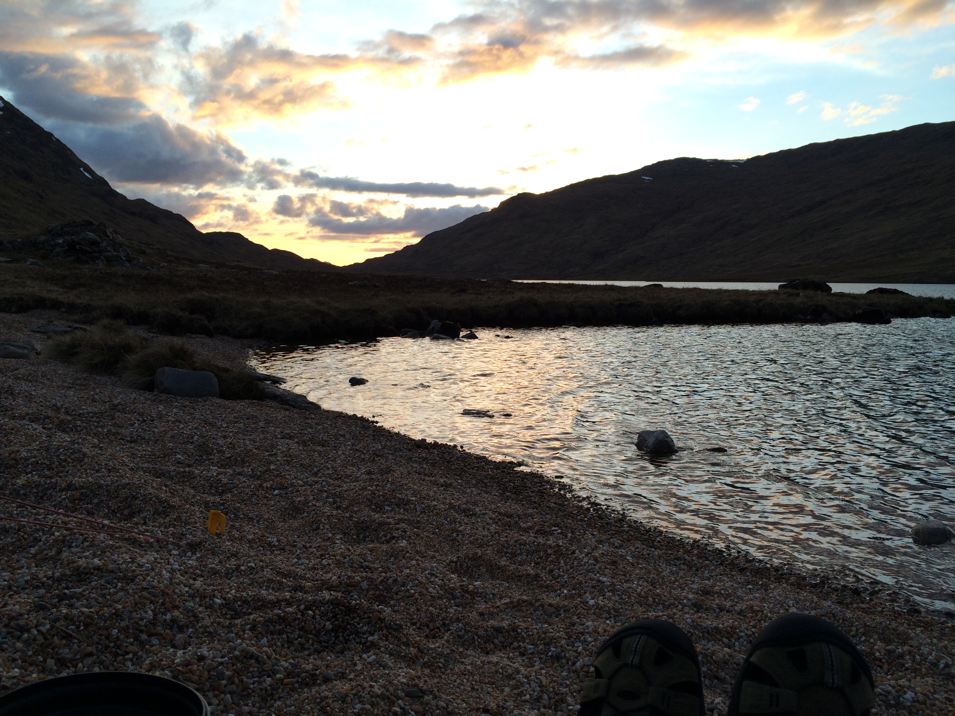
A blog about a hike across Scotland (and possibly other things)

Month: May 2015 (Page 2 of 2)

Hallelujah

There was more navigation to do on the third day, and more up and over.

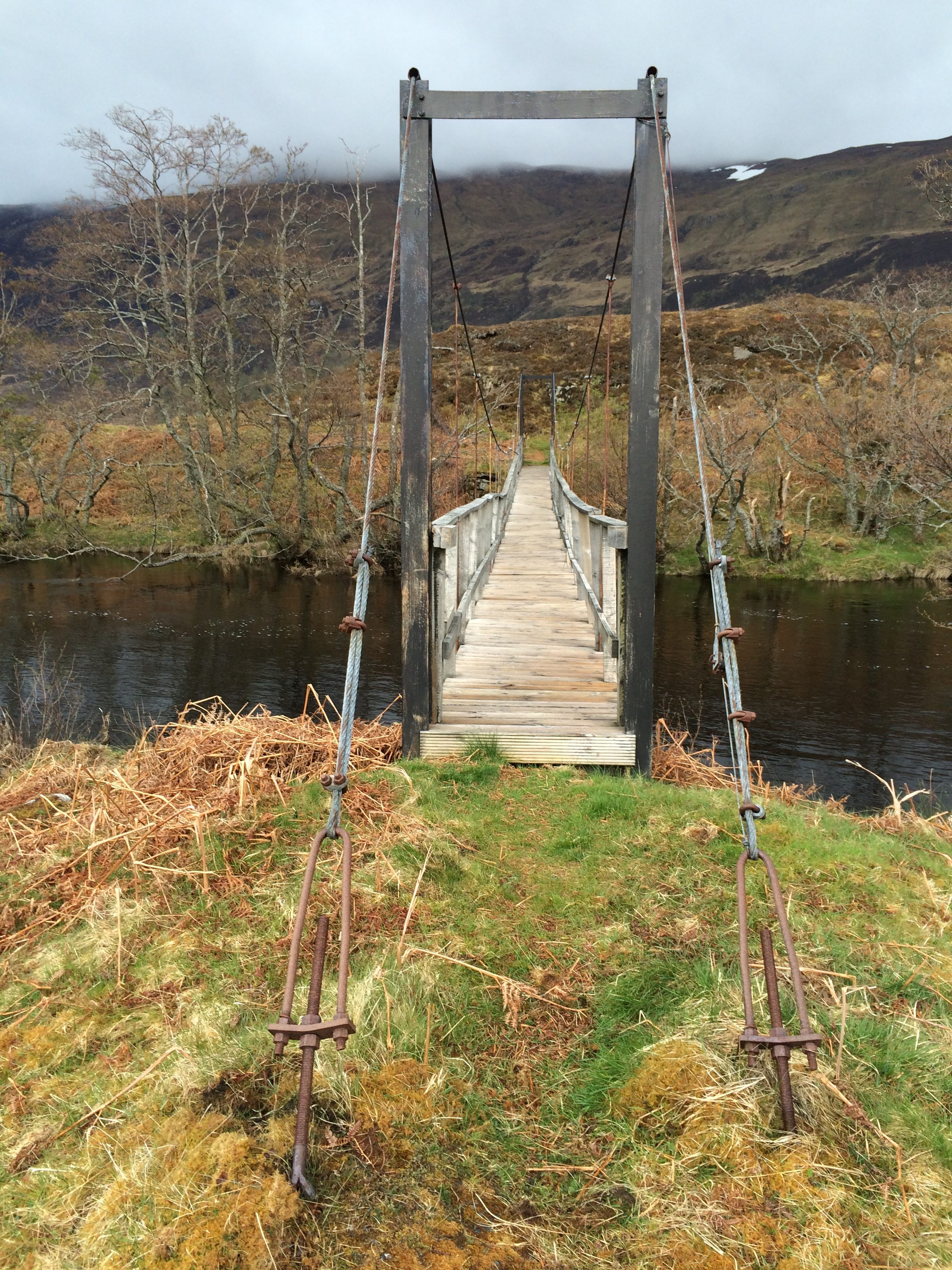
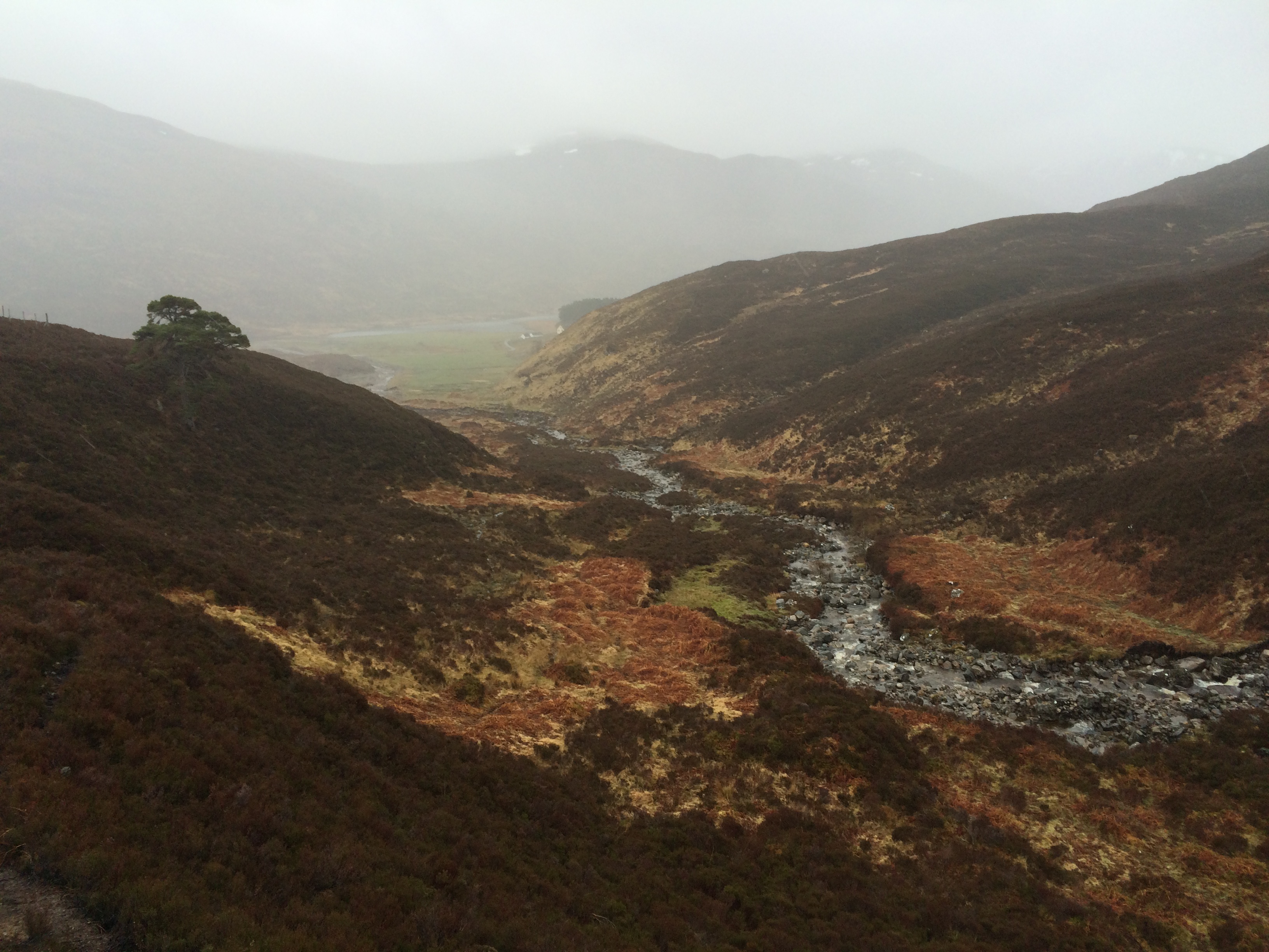
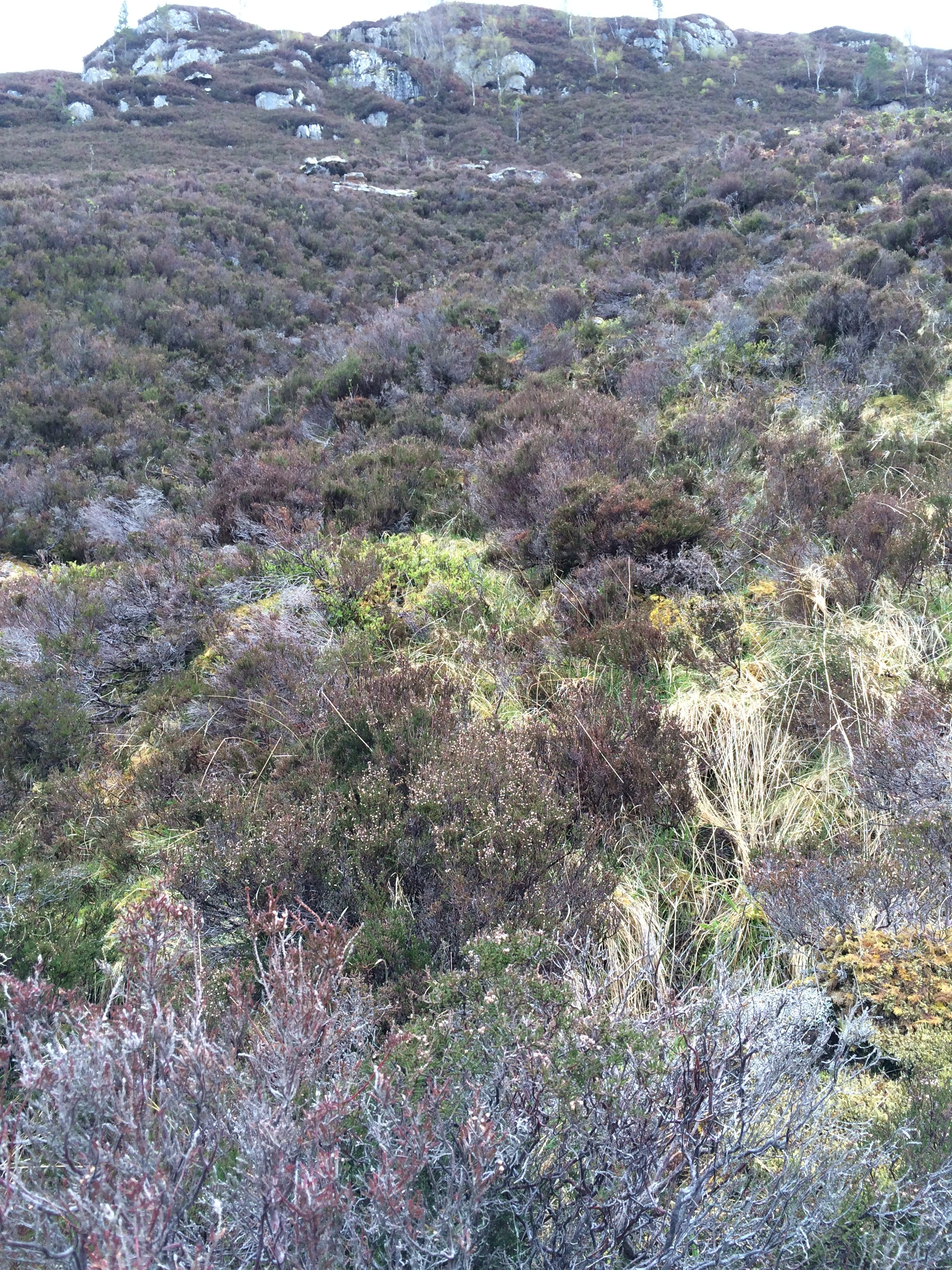
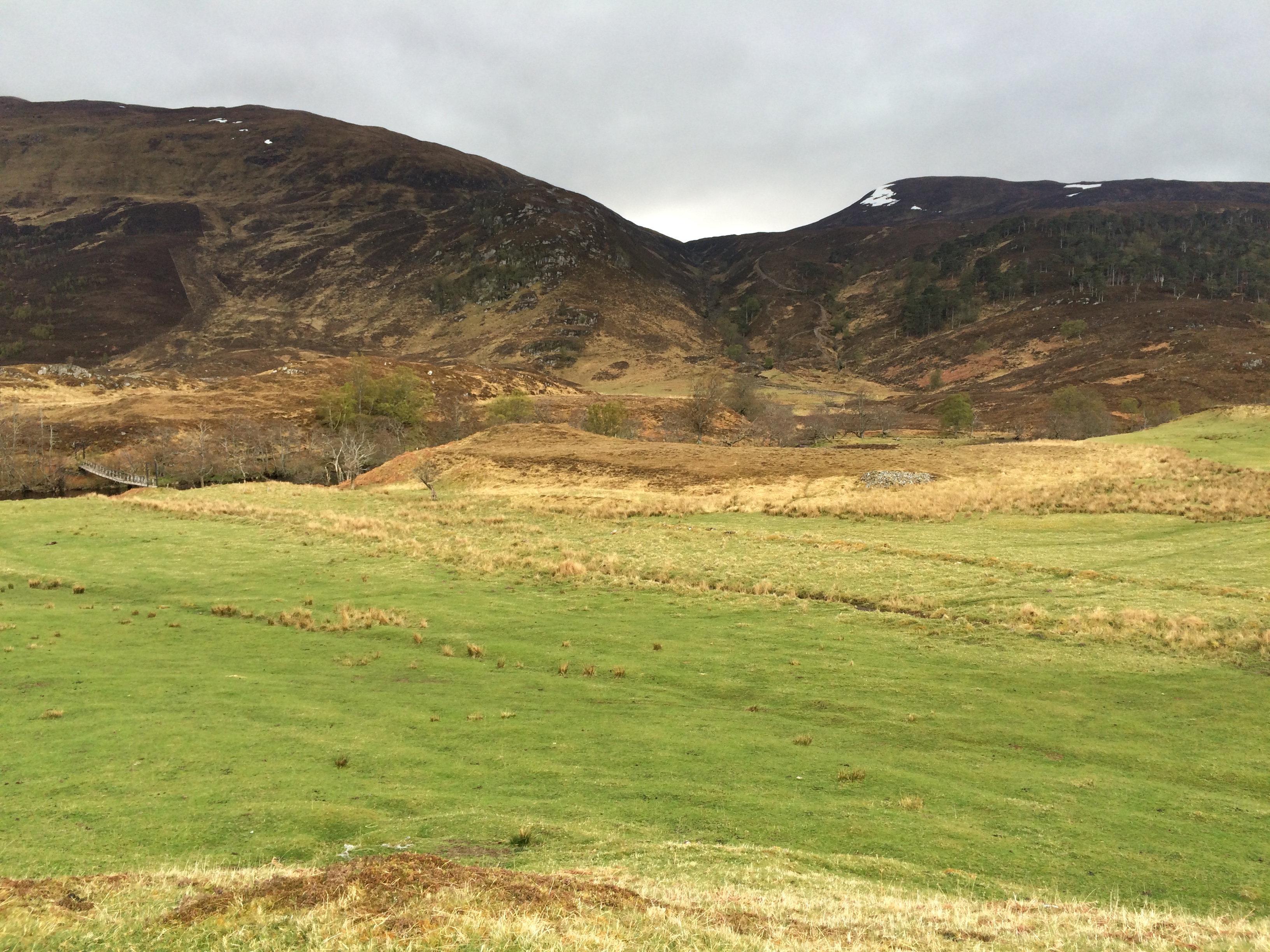
It didn’t require navigation–at least not assisted navigation–and it didn’t require GPS. As Roger Hoyle, my advisor in all things Challenging, said, all it required was “going over the watershed” between two obvious hills. They happen to be called Meallan Odhar and An Soutar, a climb of a little more than a thousand feet. It doesn’t look like much from here. (In the distance on the left you can see a bridge over the river I’d spent such effort to stay on the correct side of.)

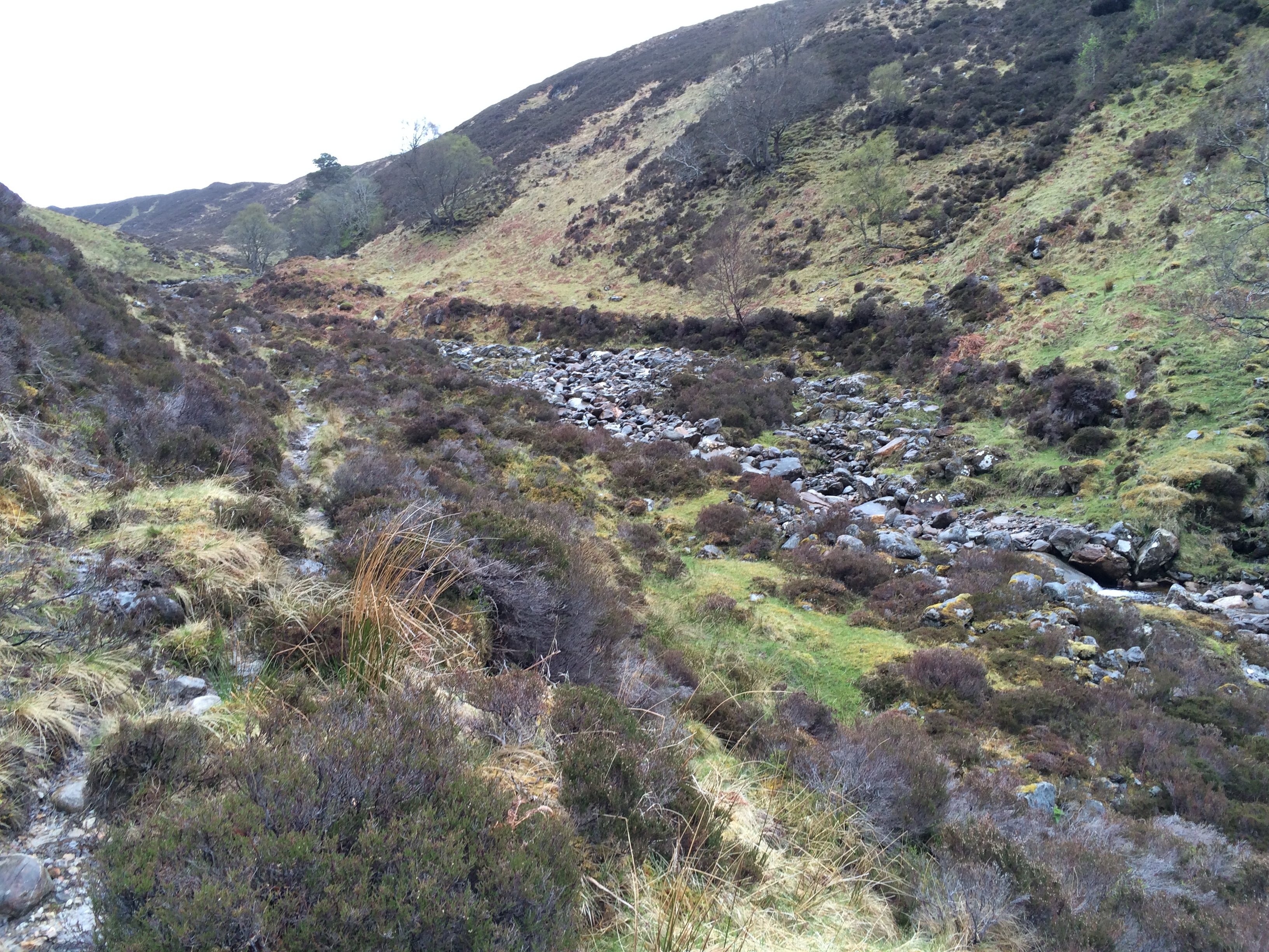
Here it is up close.

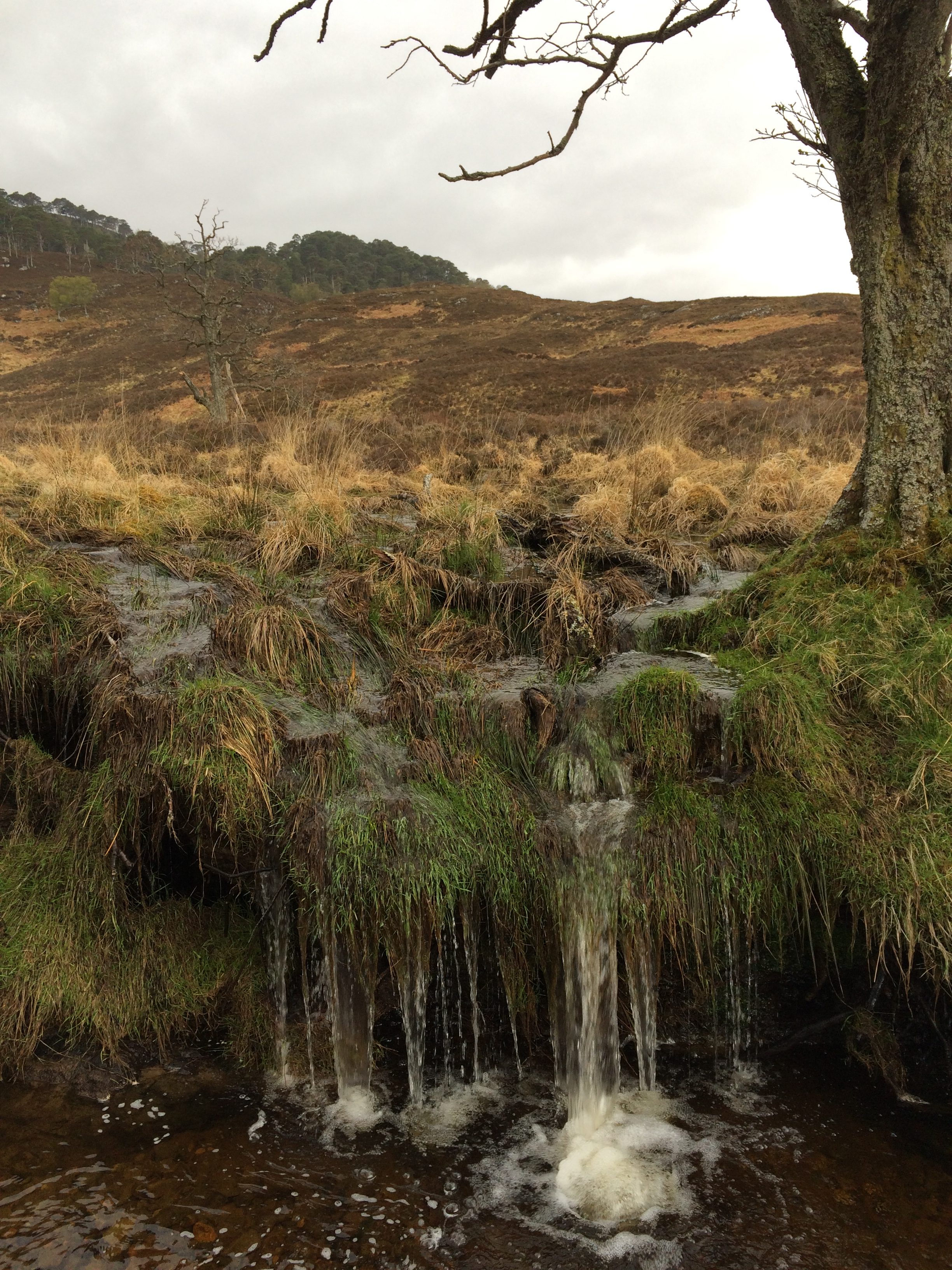
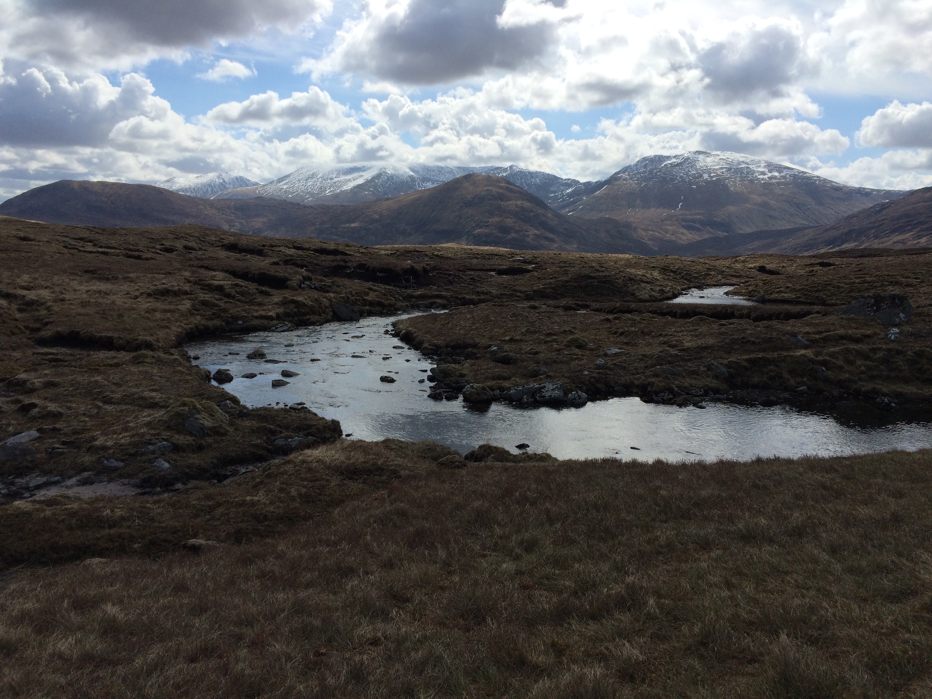
The stream whose watershed I was going up was quite pretty. It demonstrated the fact that almost every surface of the Highlands is a watercourse, given the right circumstances.

It was tough climbing. I did not go along the stream bank, which may have been a mistake. Although there was no trail on the map, there was a clear one going up the east side of the watershed, which is where I wanted to be.

As is so often the case, the big question was what to wear. Or rather, what to wear for the next 20 minutes. The variables were exertion and weather. It often rained once or twice over the course of a few hours. And of course one can warm up considerably walking uphill with 40 pounds on your back.

After a while I took off the fleece vest under my pullover rain jacket, and then, when it stopped raining, the jacket. These changes require taking the pack off, undoing three buckles and one draw cord, stowing or unstowing, closing up, and then heaving the pack back on, which makes it feel heavier than it is.

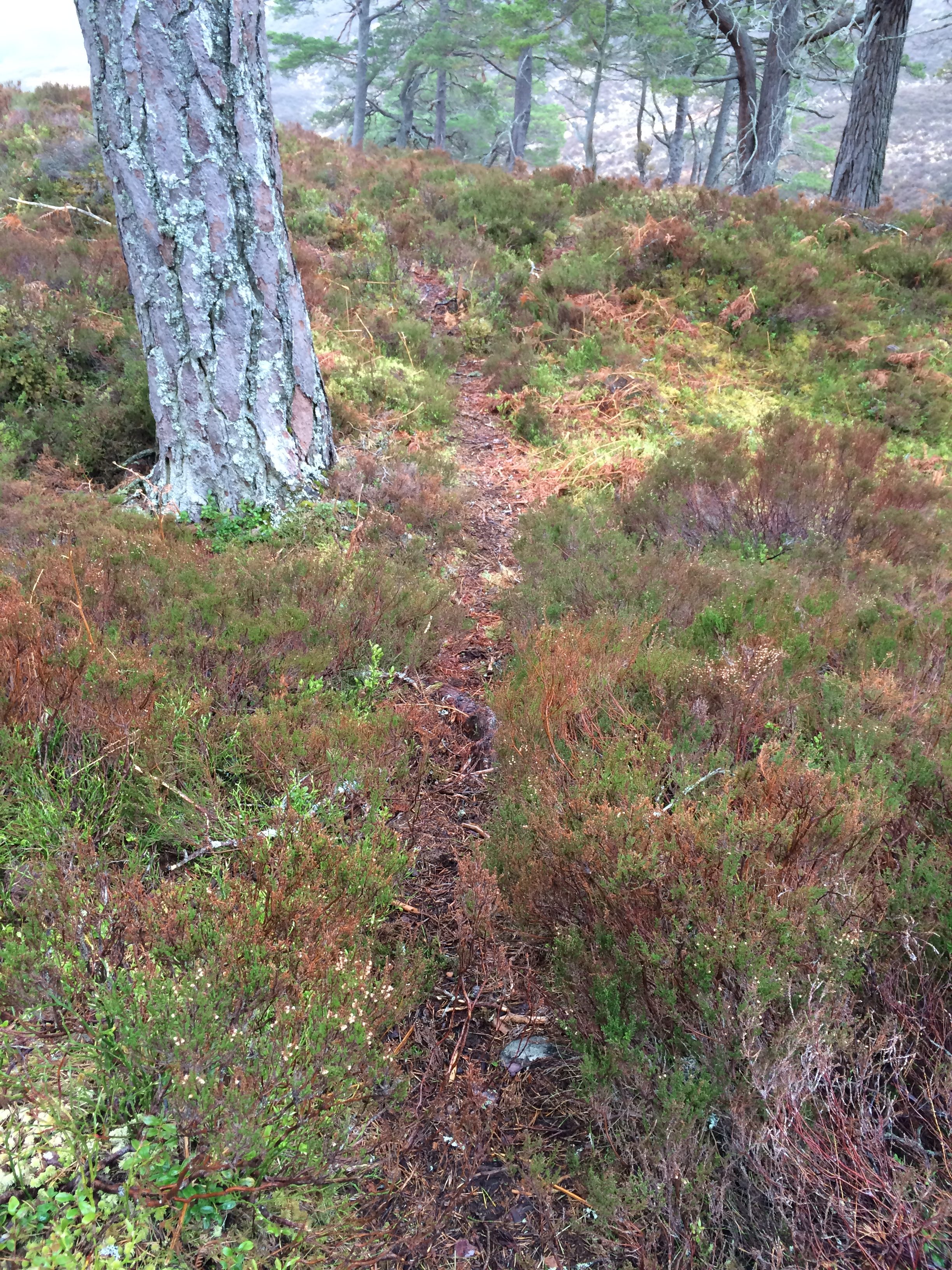
I was in a zip-front running shirt when I saw a rock cairn along the path I was following. The path looked to be an animal trail–which is to say, made by deer–but the cairn made me think it had been approved by human beings, too. Why that was reassuring is unclear in hindsight (so to speak).

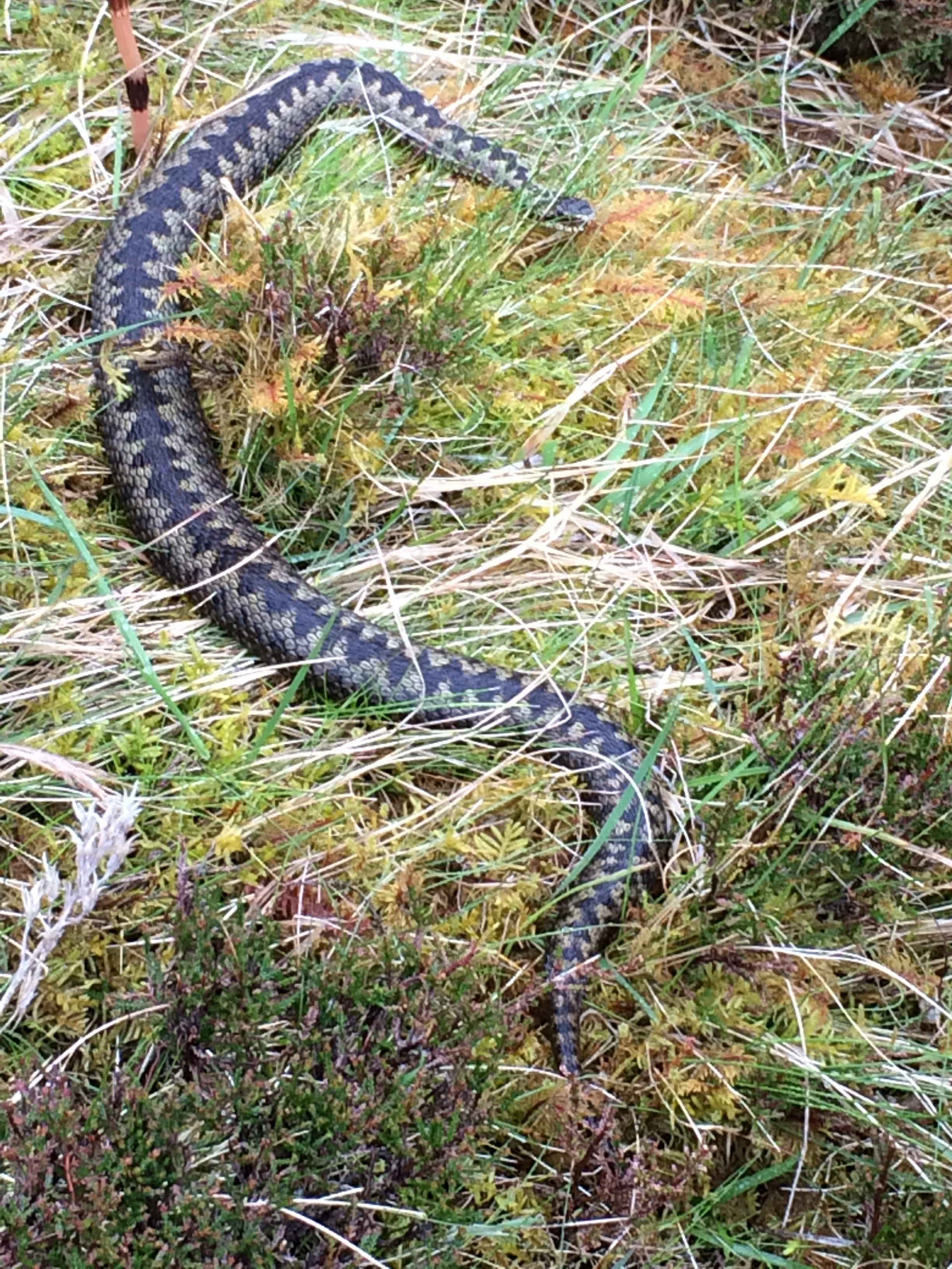
Scotland has one poisonous snake, the adder.  I came around the corner and encountered one.  Like me, it was moving pretty slow.

The path took me slowly up the shoulder of the left, or eastern, slope. The ground was the usual mix of heather and bog. Hard to think that bog plants can flourish on a 10-percent grade, but they can.

It occurred to me that this trail might be headed to the top of the left-hand hill, a route made by someone wanting to bag an undistinguished summit. As the trail got farther and farther away from the stream, morbid fantasies came to mind. If it got too far away–and it was cooling down and had started to rain again–I thought I might want to get back to the stream. That would require going down the sand-and-rock ravines that periodically appeared, or going over the steep and occasionally precipitous heather. What would happen if I fell and twisted an ankle? How about a compound fracture? Could I set up a tent, crawl in and wait for rescue? But I had no water because I operate on the assumption that because there is water every 300 yards in Scotland, there’s no need to carry it. How much oxycodone did I have?

Like I said, morbid. One of my specialties.

So I trudged and trudged, reading the ground as best I could as the air got mistier and cold. There were numerous animal paths and I took the downward ones at every chance, eventually coming back to the stream near the col. By then it was so small you could cross it with a dance step.

When I got to the top, the stream disappeared. The view was foggy in the direction of where I’d come and where I wanted to go. The only clear view was of the hills on either side–exactly where I didn’t want to go.

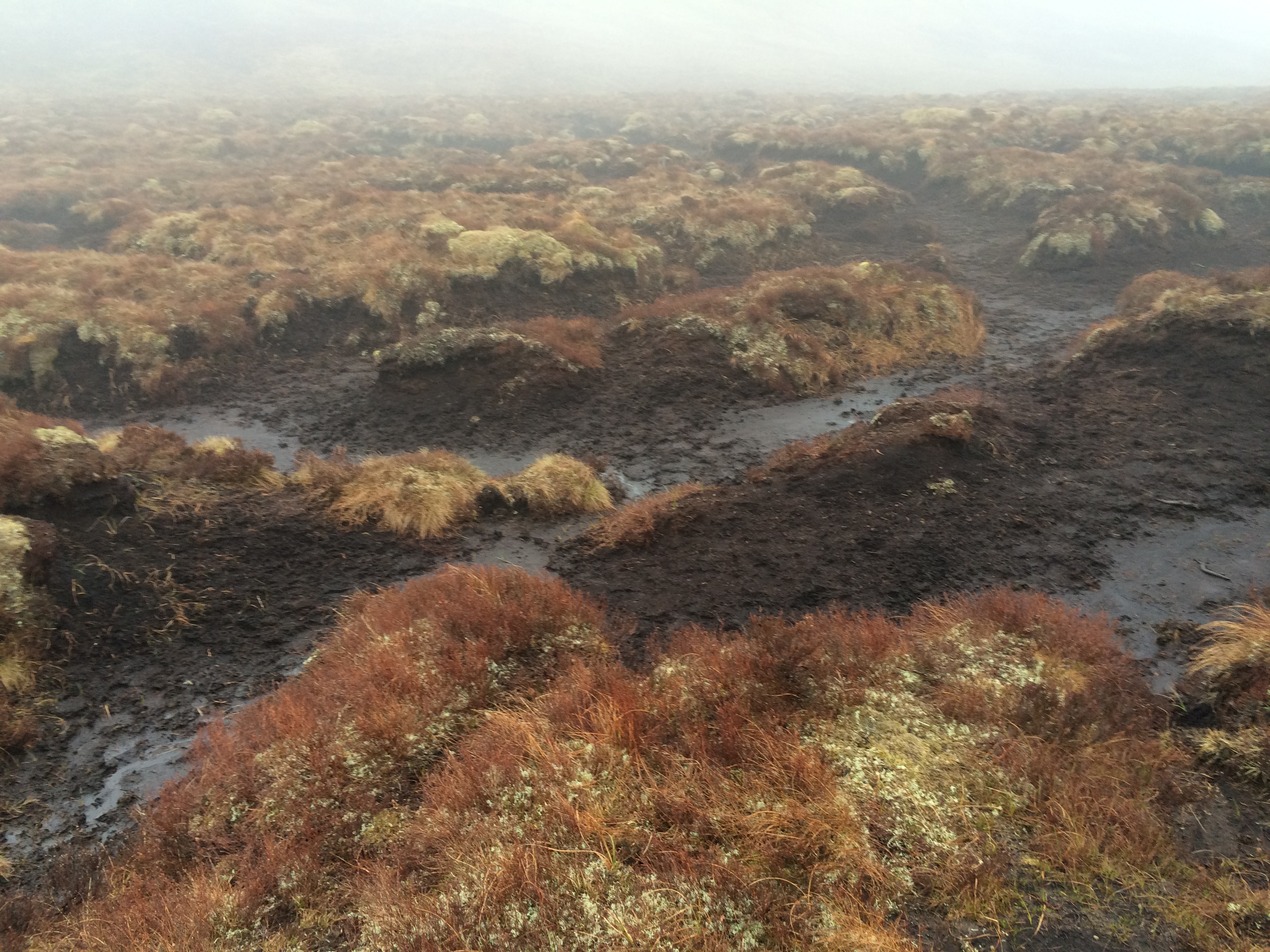
Here, where the water didn’t know which way it wanted to go, episodic runoff had carved a mini-Canyonlands in the peat. The mostly dry channels were, in fact, a kind of peat quicksand. Want to be a 21st-Century Bog Man, and have the contents of your pockets displayed in National Geographic in 1200 years? Step here.

The carved walls and overhanging moss are known as “peat hags.” Well named, I think.

I got down in one of the cuts out of the wind and put on warm clothes, including mittens. As I went on, negotiating the least difficult route in a downhill direction, I became aware of a sound. It was water running. A rill had formed and was going down the other side of the watershed. I followed it.

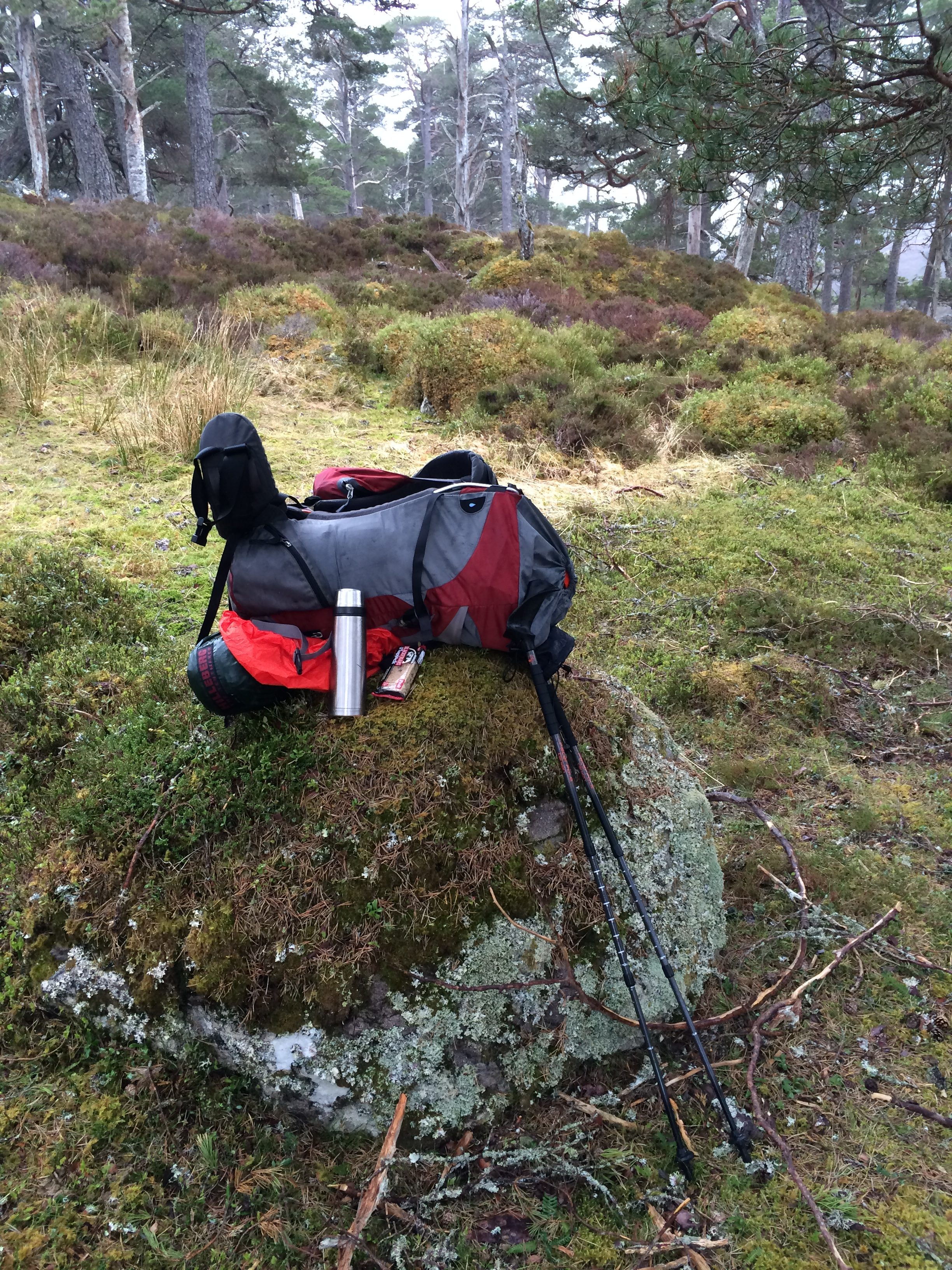
It got bigger and the walking got easier. Eventually I got to a patch of woods. Not an ugly planting for pulpwood, but a Frodo-land of moss-covered rocks and gnarled pines. I took off my pack and had a snack.

As I walked through the woods, I once again was glad that the deer knew where they were going.

And then something strange happened. Have I told you about my iPod problem?

Last year I didn’t bring an iPod and I became quite tired of my company. This year I brought one and had a great time listening to Arty Hill sing about a “12-pack Morning” and “Me and My Glass Jaw,” and to marvel for the thousandth time at Joan Baez’s rendering of Dylan’s songs in “Any Day Now.” And then it stopped working.

I’ve also had a livelier than normal repertoire of random pocket activations on my iPhone, which holds the map, my route and GPS location on it. I take the phone out frequently to check where I am, and to take pictures. Often when it out it tells me that, sorry, I can’t connect to the App Store because there is not internet connection. Timer is done, do I want to turn it off? How about Undo Typing?

So I’m walking along and I hear the faint plucking of a guitar.  And then some other instruments.

On the first day as I walked up the hills out of Strathcarron I heard a thunderous sound. I turned around and saw a military jet flying up the valley, way below the hilltops. So I was ready for strange things. Was there some sort of loudspeaker in the woods? Blasting from an unseen building?

No, it was coming from my right front pocket. It was my tiny iTunes account playing one of a half-dozen songs I’ve bought. It was Brandi Carlile singing Leonard Cohen’s “Hallelujah” with the Seattle Symphony, a great version of an incomparable song.

I walked along as it played through my pants. A minute later I came out of the woods into a clearing and saw the river where I would pick up the trail that would take me to Cannich, where I would have a bed.

You may not believe me. But I tell you: this actually happened.
 

Up and over

The sky was sunny and the surface of the loch was still when I woke up  about 7 in the morning. A few birds skittered along the gravel beach where I was camping–a perfect place to camp, by the way. One sounded like a willett, although I doubt it was. The air was cool and dry, like a late October day in Massachusetts. Now, at 9.30 a breeze has come up and is ruffling the water, which is making a rhythmic sound like breathing. On the tops of the four hills bordering the loch patches of snow are beating the clouds in their brightness.

I doubt I’ll find another place like this to spend a night in on the walk.

This is where I was headed.

I struck camp with reluctance, but not too much as it was such a beautiful day. I walked on the north side of a stream that flowed out of Loch Calavie. It was a two-tire track, sometimes dirt and rocks and sometimes flattened grass. It disappeared a little farther along than where the man who reviewed and approved my route (one of the Challenge’s “vetters”) said it would.

After that it was over heather, sphagnum moss and dried grass. Those three things are what’s underfoot in the Highlands in my admittedly limited experience. It’s not easy walking off the trail.  You  have to lift your foot to get over heather, sphagnum is spongy, and the grass is often hummocky and ankle-twisting.

A person quickly learns to read the mini-landscape–there it’s going to be too wet, that grass is boggy, this is a nano-watershed. You can’t walk a straight line in the Highlands unless you’re on a path, in which case someone else has gotten wet feet and figured it out.

Walking a couple of miles without a trail was good practice for what I knew I had to do soon, which was go a considerable distance with no trail. This apparently doesn’t intimidate most people doing this event, who disdain GPS and are willing (and able) to navigate by map and compass in the rain with limited visibility.

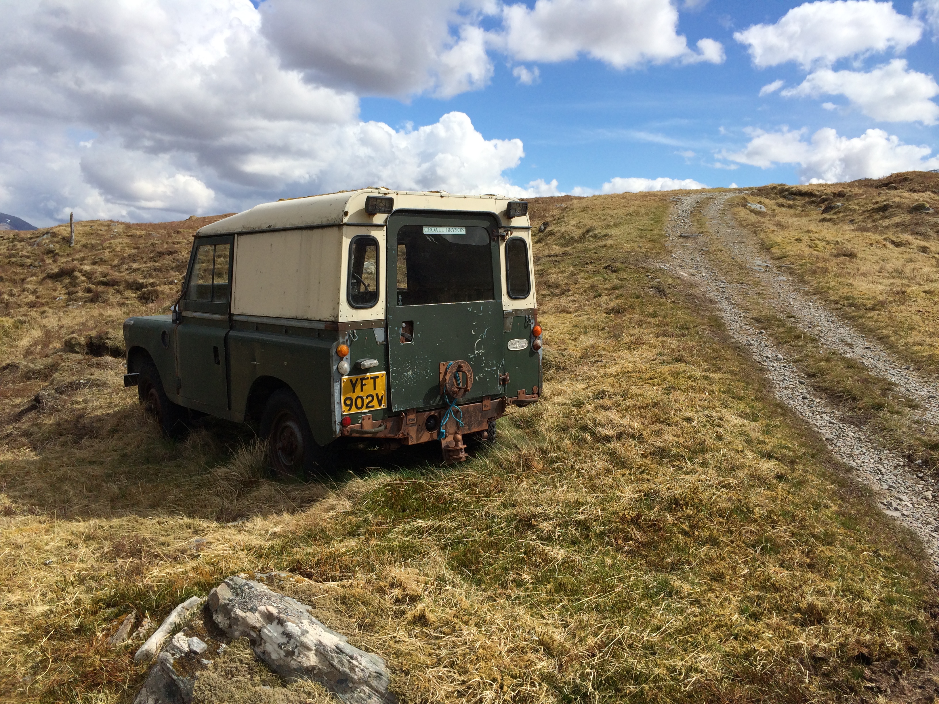
It was sunny and clear when I turned south from Pait Lodge, a nice house on a lake. I opened a couple of gates, passed a building that had some kind of machine (probably a pump) running inside, and passed an old aluminum-bodied Land Rover. I looked into the driver’s seat longingly. It wasn’t clear whether it was abandoned or just in need of preventive maintenance.

I followed a farm road up a hill, stopping at a rock to have a quick lunch (cereal bar and now-lukewarm mushroom soup), continuing on until I got to a metal building with a stone floor, probably something for animals. I took of the pack and took out the map and compass. This was going to be a test of my navigation skills, although with my 43%-charged iPhone in my pocket with my route and GPS function waiting, not a test for keeps.

I should say at this point that, as much as I hate to admit it, my native navigational skills are not very good. This was memorably displayed many years ago when I went exploring Zekiah Swamp in Southern Maryland with my son Will (then about 10) and a Chinese journalist visiting The Washington Post named Li Xiguang.

Zekiah Swamp (which John Wilkes Booth went through, trying to throw pursuers off his trail as he fled Washington after assassinating Abraham Lincoln) is a braided stream of many channels. Nevertheless, it has directionality, which is a helpful navigational aid.  But somehow not enoujgh to help me.

This particular trip consisted of paddling as far up the main channel as we could go and then getting out and walking.  Far into the swamp on foot, we stopped for a snack on a downed log that had three mushrooms of different sizes growing out of it. We remarked they were like the three bears in the Goldilocks tale.  When we were done, we pushed on. I was leading.

About an hour and a half later we rounded a corner in the undergrowth and saw the log with the three mushrooms. A textbook example of lost behavior–walking in a circle.

By then it was late afternoon and getting cooler, and I admitted to myself things could get serious.  (It was October, I recall.)  Soon after, however, Will heard a cow mooing.  We followed the sound,  perpendicular out of the swamp. We ended up at a farm, saved by bovinavigation. The farmer kindly gave us a ride back to the car.   We picked up the canoe the next day.

I hoped to do better this day, with navigational aids.  My route was to walk perpendicular to the road starting at the animal house, which was a tiny square on the map.  I would go over a hill and then turn right about 60 degrees and walk until I got to a path along a river.  There, back on a track marked on the map I would go left toward my destination, which was still miles away.

Looking at the map, however, I decided a more efficient route would be to walk what would be the base of an equilateral triangle. So, sitting next to the animal house in the sun I got out the map and determined the bearing with the compass.  It was 132 degrees the first time, 135 the second. Close enough for a beginner navigating a route with a clear line of sight on a sunny day.

I won’t make this dramatic because it wasn’t, especially since I checked my progress twice with the GPS. I figured that if if I opted for purity and found myself 90 degrees off course a couple hours later I would regret it.  Still, it was a small accomplishment.

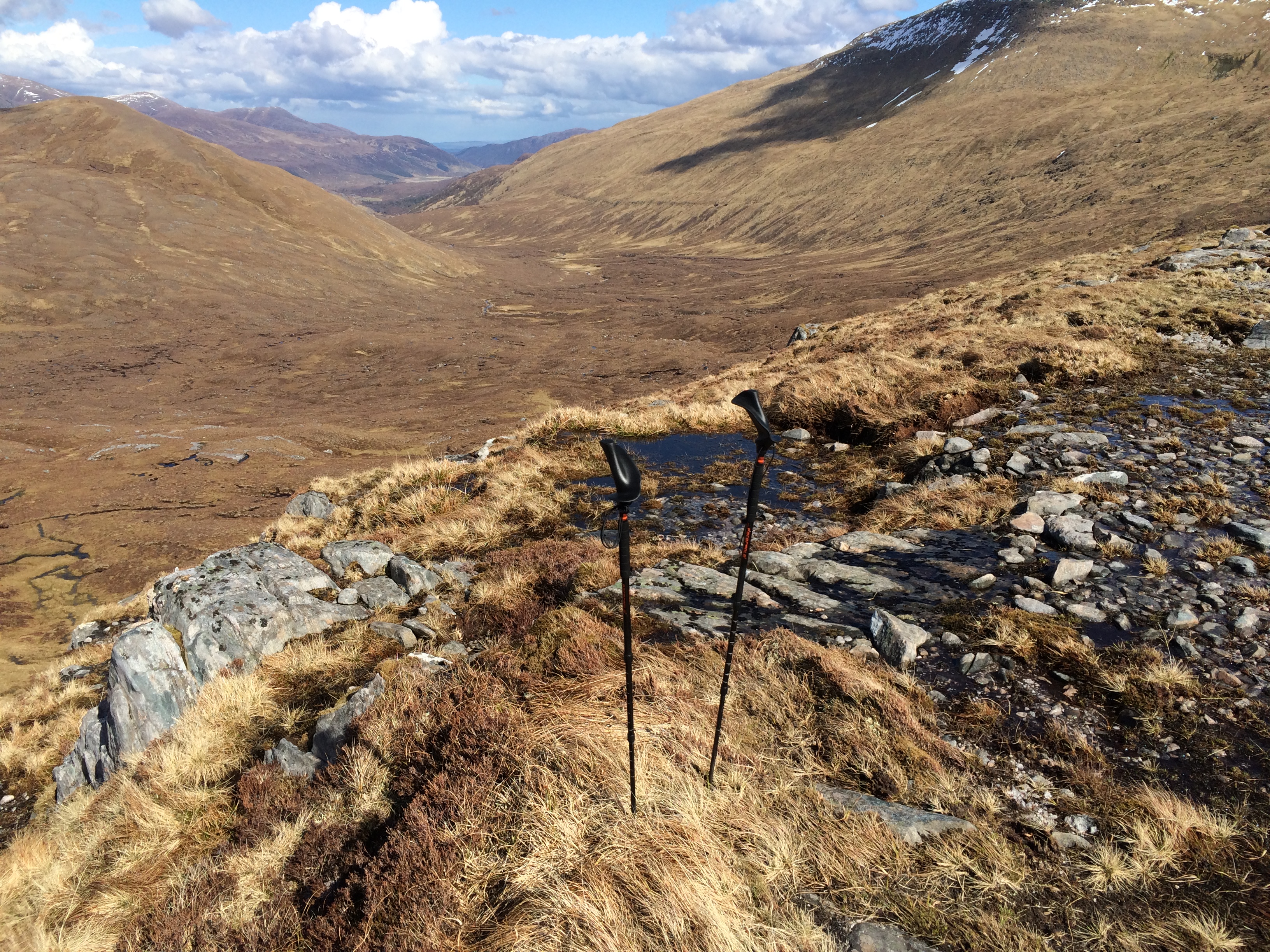
The top had quite a view (and was quite windy).  This is the direction I was heading once I intersected the path along the river.

I intersected the trail very close to where I’d plotted the destination on the map (as confirmed by GPS).

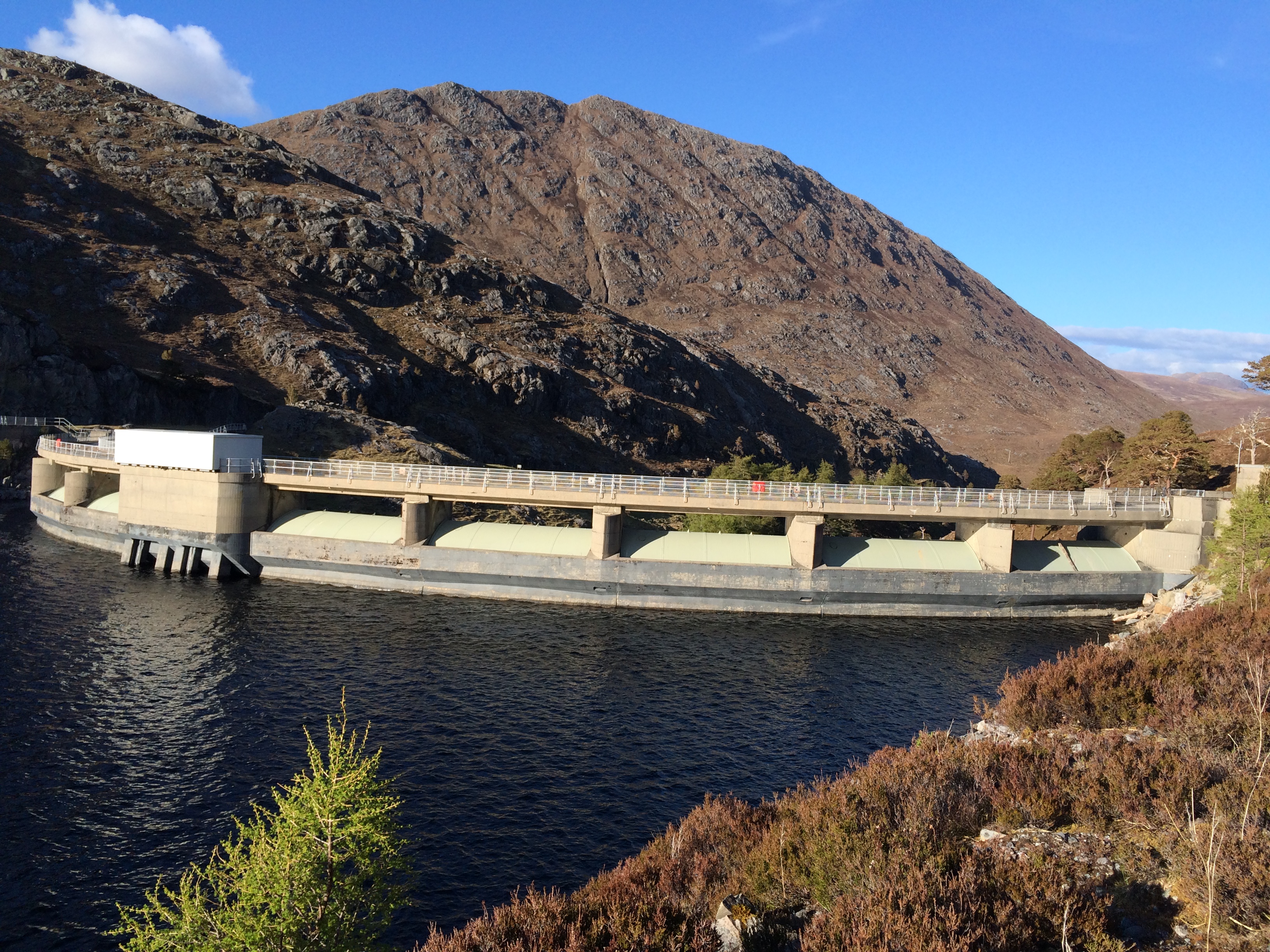
There was still a long way to go, including an annoying mile-and-a-half climb and descent and crossing of two dams–all to avoid the chance the river would be too high to ford with the more direct route.  (And it was essential to eventually get on the other side).  Should that happen, I would have to walk four miles back to get to the annoying dam detour–not something I was prepared to do.

Even so, I stopped and camped at a place not as far along as I had hoped. There were two tents next to the road occupied by two guys named Steve and Dave.  They had stopped short of their goal because it was starting get cold and the sun was going down.  I admired their judgment.

Gravel beach

I was the last to leave, except for two people with German last names who were arriving by train later in the afternoon. As I sit in the mouth of my tent on a gravel beach at the end of a loch I have entirely to myself I expect to see them coming along the edge of the water any minute.

I don’t think I project confidence or experience to the fellow Challengers I’ve met so far. The night before the start there were about 10 in the bar or the Strathcarron Hotel, drinking serial pints, talking about the election, trading stories about previous crossings, describing with modest British ego gratification their gear and how they chose it. At one point a guy came in with a pack the size of two rugby balls, eliciting exhalations of admiration.

All the while I was at my own table tapping away on the miniature keyboard with sotto voce curses and sighs. I introduced myself to no one. At one point a man who had played a couple of reels on a harmonica (quite well) came over and gave me a mini-lecture on the pentatonic scale and how it might be used to unite peoples. (I don’t do his argument justice; there was more to it.)  I closed the bar down at 11 o’clock; it was the only place with good internet signal.

The next morning at breakfast I was seated by the maitre d’ at a table with three Challengers. I introduced myself, and after a while one of them asked, “You’re not doing the Challenge are you?”

“I am,” I said, “although I may not look like it.”

The previous night, and indeed right then, I was wearing khaki pants (but British khaki!) and a collared shirt. They’re my dress-up clothes, or possibly my disguise. In about an hour I would stuff them into an envelope and mailed them to myself in Montrose.

My interlocutor looked slightly incredulous. The three were dressed in wicking, quick-drying, water-resistant fabrics. Britons have come a long way from climbing mountains in broghans, tweed and ties.

After about a minute he asked, “Have you done it before?”

“Yes. I did it last year.”

“You’ll be okay then.”

I thought I might see at least one of these three guys today, but that was the last of them.

When I was finished breakfast and checked out of the room, I went over to the mail-sorting room in a nearby building where the twice-a-week circuit-riding mail clerk had just opened for business.  I gave her the envelope stuffed with twice-worn clothing and a book on how to navigate by map and compass.  I mailed them second class, no rush.

After I checked out, I brought my pack downstairs and put it on a picnic table in front of the Strathcarron Hotel.  It was a gorgeous, sunny morning in the low 50s.  I had an idea.  I went back to the mail clerk and asked her if she had a scale that might weigh a “rucksack” (as they call them here).  She said she might.

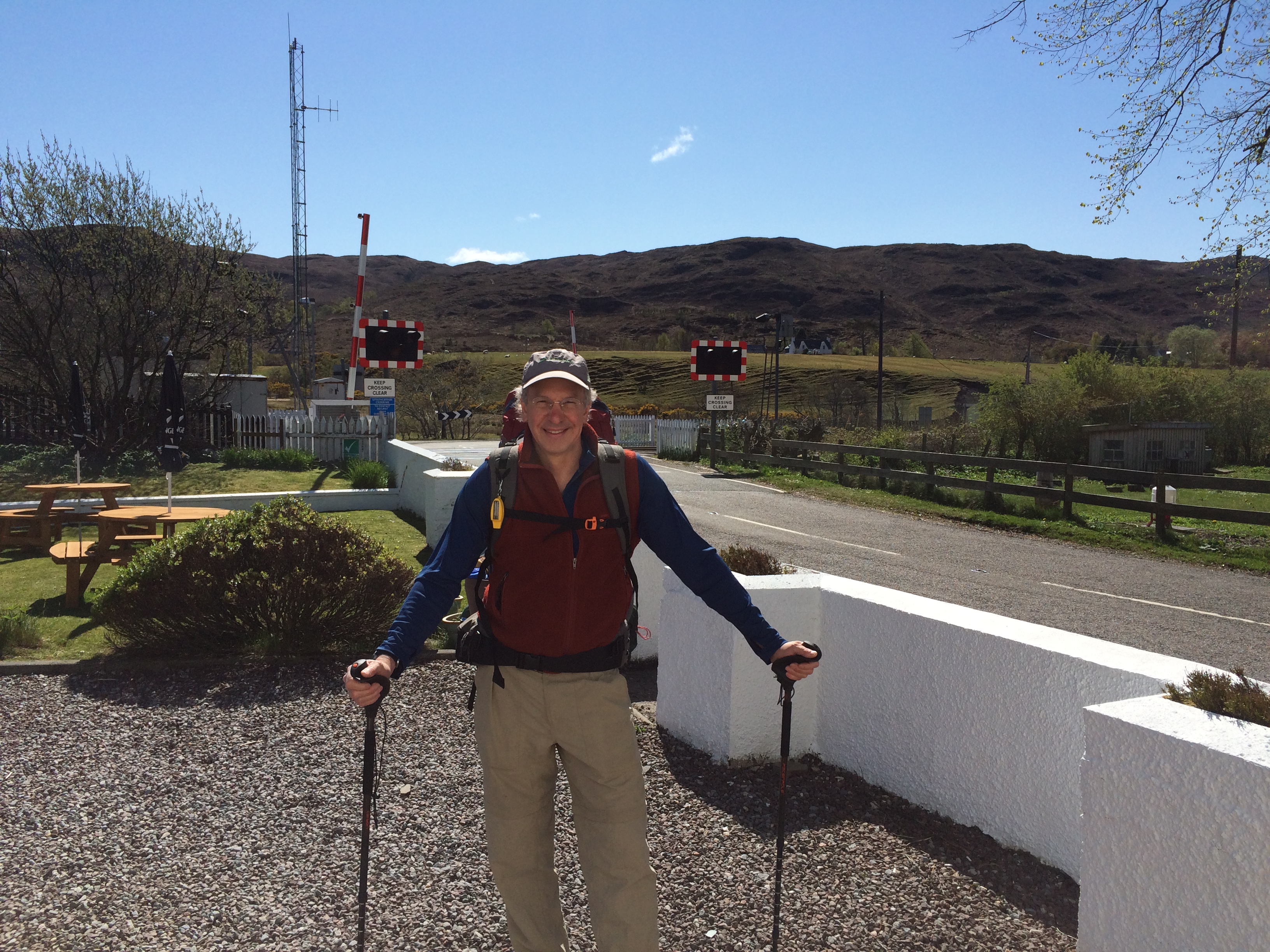
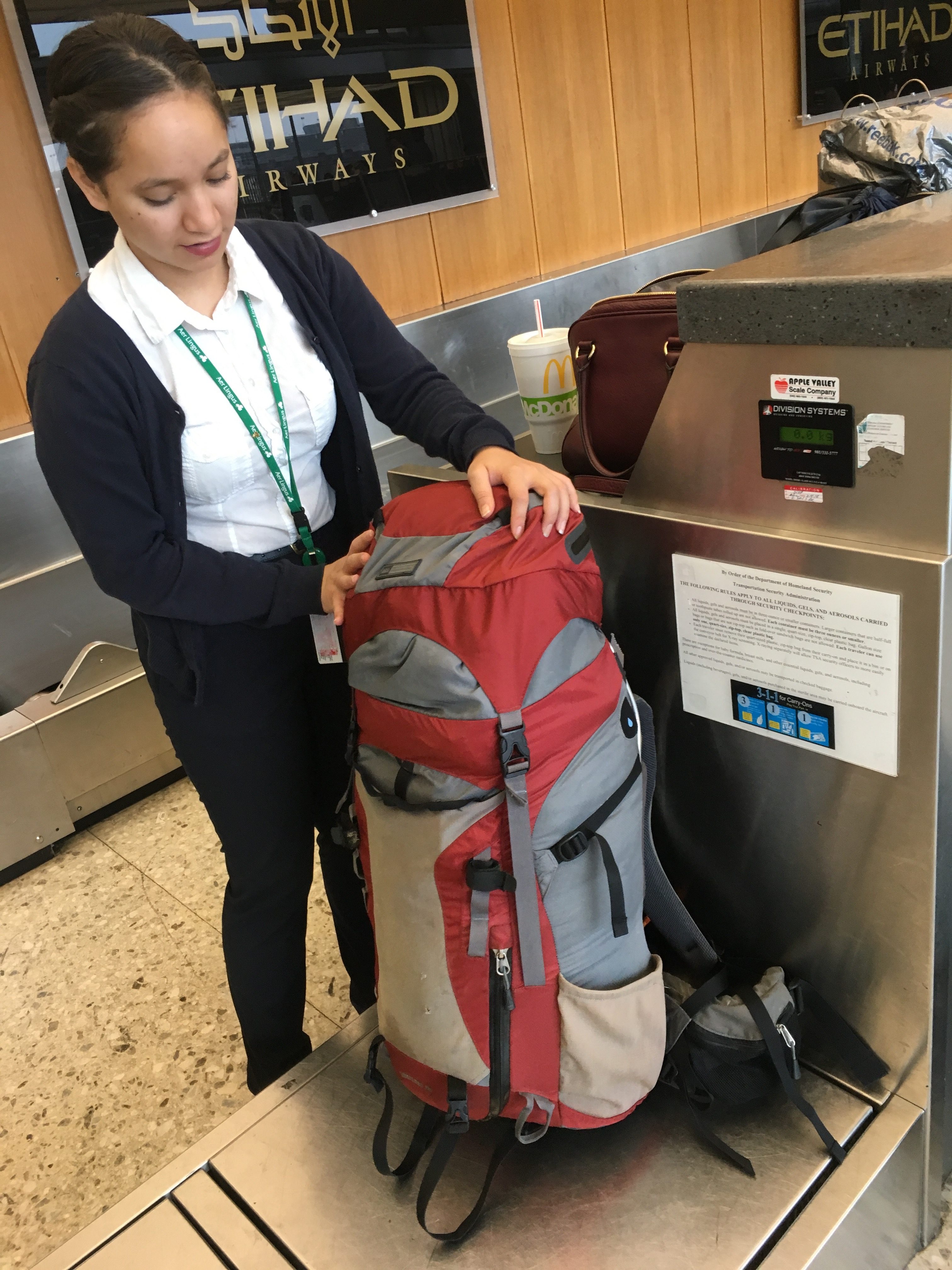
I brought mine over and she cleared a space on her desk.  It beeped three times the two times I put it down.  Its limit was 15 kilograms.  She went in the back and came out with a bathroom scale that measured in kilos and stone.  I stood on it and then hefted the pack and stood on it again.   Approximate weight:  19 kilos.  (She rounded it up to 20, but she wasn’t carrying it).  I thanked her and staggered back to the picnic table.

Here’s what I looked like.  (I promise, there won’t be a lot of these.)

Then I left.

On the first pitch off the road and into the bare brown hills I turned around and saw a farmhouse with a bonfire blazing next to it. Spring cleaning. I could hear the wood crackle.

It was a classic Scottish landscape (I say like an old hand) the first few hours of walking.  Round hills covered with heather and moss except for the few geometric patches of twelfth-growth trees. The palette had five colors: brown, gray and green for the ground, blue and white in the sky. There were a few birds, an occasional salamander in the grass, but otherwise no wildlife. Coolness and warmth cycled almost by the minute as the wind blew and clouds covered the sun.

I passed a couple of people coming the other way, obviously not Challengers. I stopped for an oat bar and half of my mini-thermos of tea at 2 in the afternoon. The tea was so hot I had to drink it slowly. I pronounced to myself that bringing a thermos was brilliant.

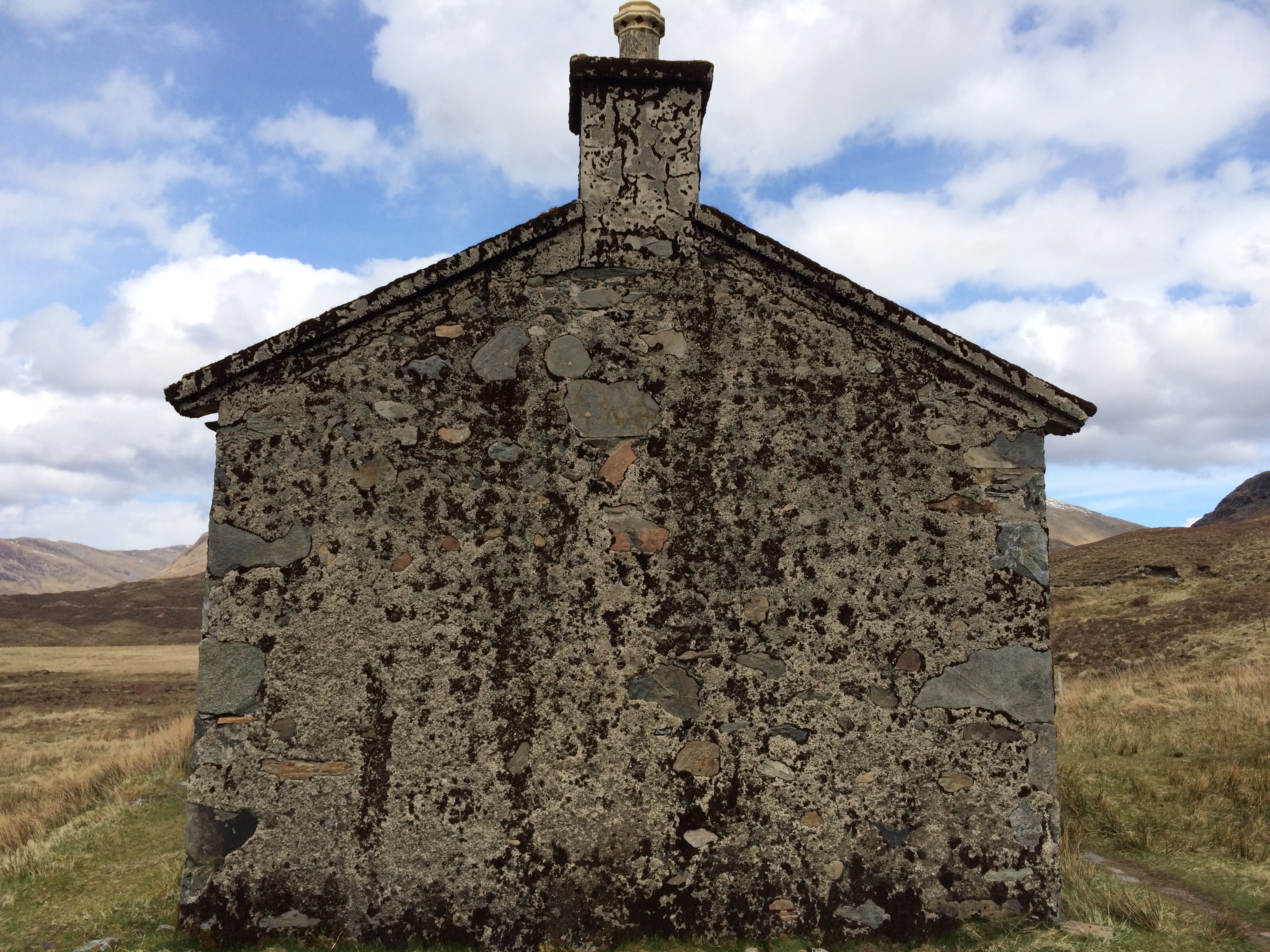
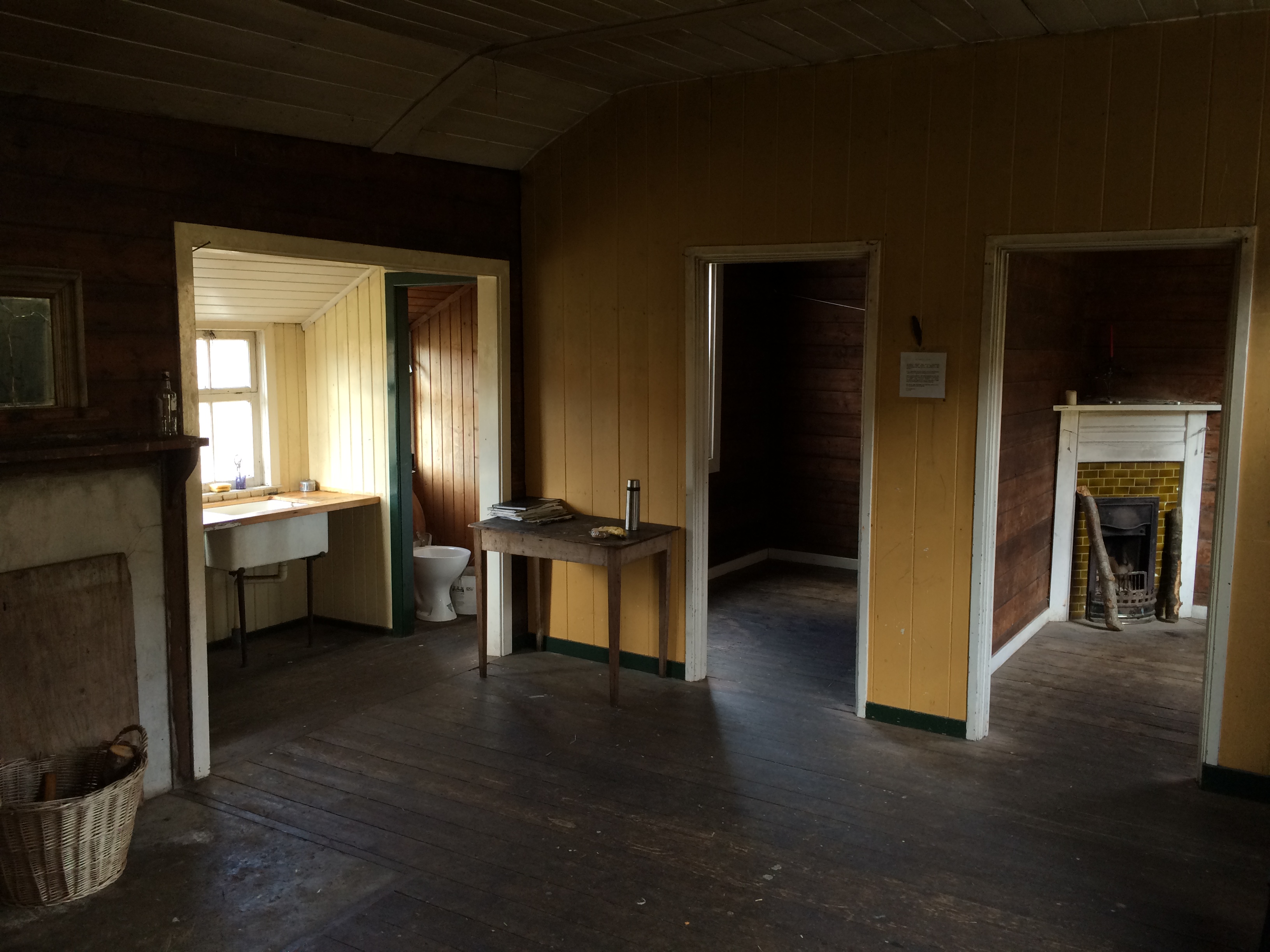
I eventually came to a bothy owned by the Attadale Estate–the gigantic tract of land I was tromping on. Bothies are abandoned stone farmhouses repurposed for hillwalkers. This was a particularly nice one, although most of the stone had been covered in siding.

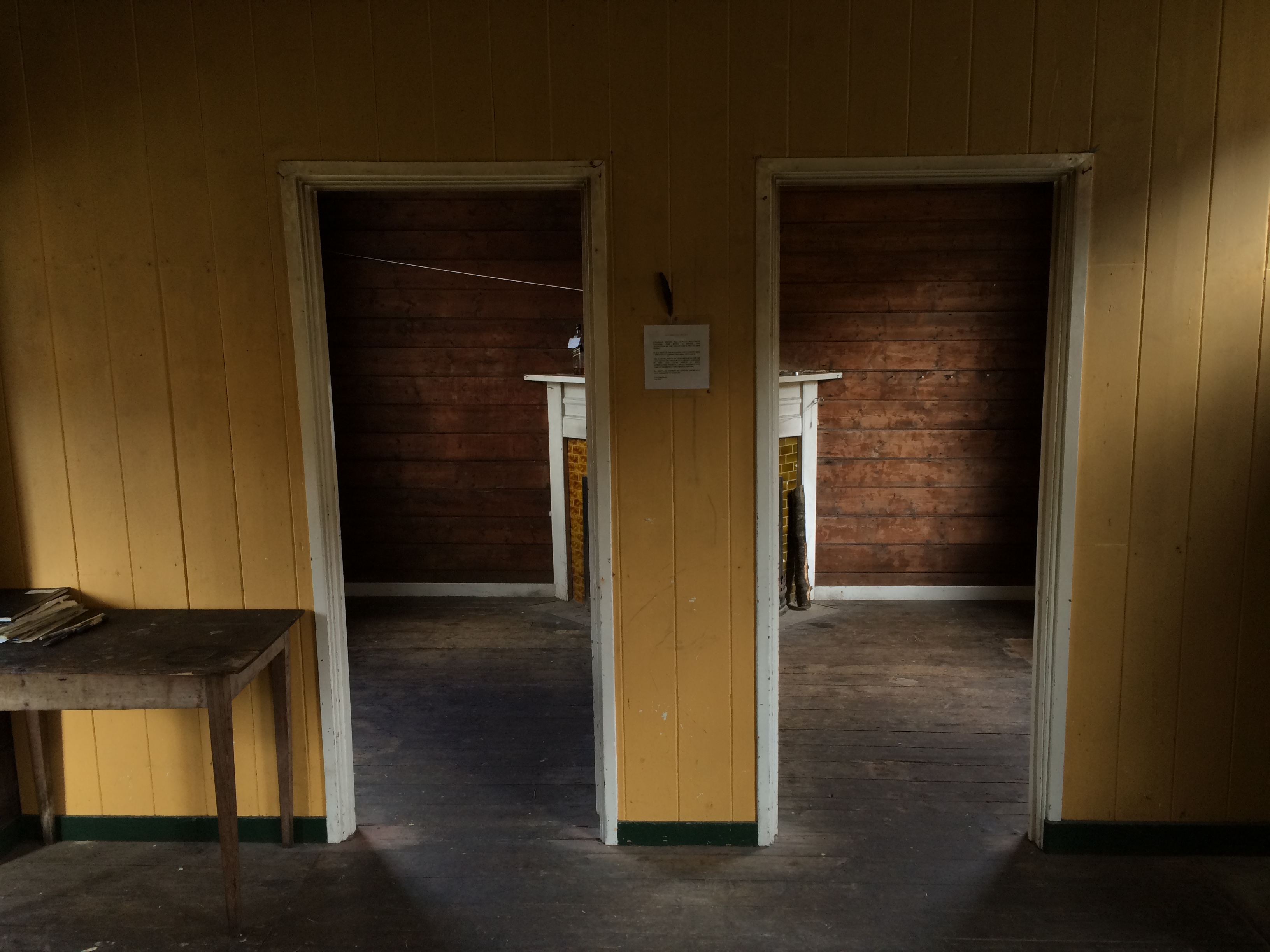
There was a large central room and one one side a room with a table and candle stand, and on the other side two smaller rooms. Each room had a small fireplace surrounded by glazed tile for burning peat or coal.


A plastic-covered notice on the wall from Ewan Macpherson, dated June 2004, asked people to limit their stay to two nights. “It is a refuge for walkers and climbers, not a free self catering holiday cottage.

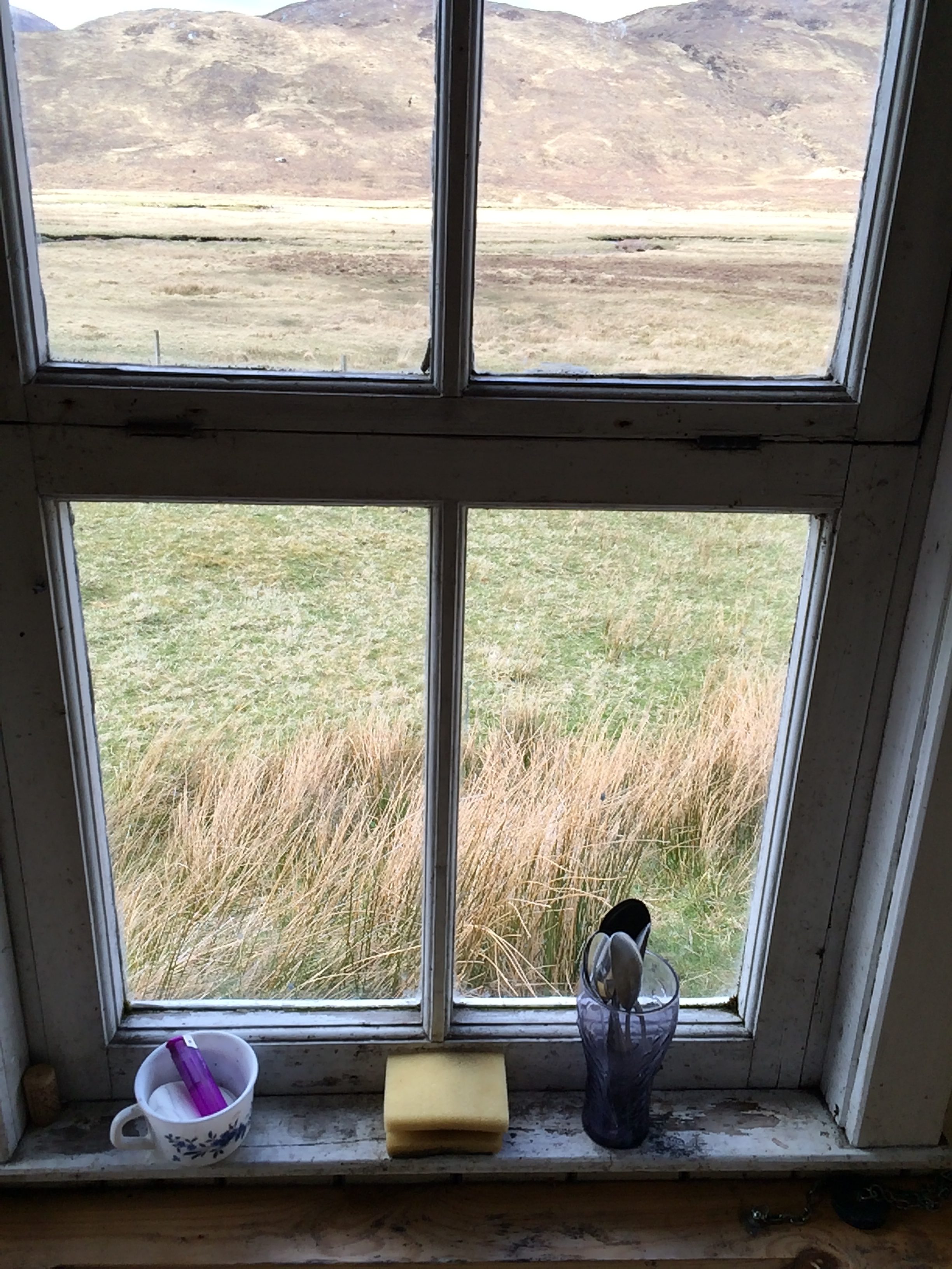
There were a couple of empty tins, two saucepans and a kettle with a broken handle on the wooden counter next to the sink. A window with four divided panes looked out on the meadow, the barely visible bank of the burn, and the brown hills beyond. I was sorry I couldn’t stay my allowable time.

But it was on to Loch Calavie. This is what it looked like when I came over the hill.

And this.

I was told it might be hard to fine a place to pitch a tent at the eastern end, which is where I had set my stopping point in February, where everything was just places on a map.

As I walked along the northern border looking down from the stone road down the slope of grass and moss, it did in fact seem unlikely there was a flat place for a tent, let alone a dry and good one.  Then I noticed a couple of tan smudges at the end of the lake.

As I got closer, they declared themselves to be gravel beaches, although how big and how slanted and damp was uncertain but they seemed the best bet.

I surveyed three spots, started setting up on one but then moved to another farther down the beach that required moving fewer rocks.  There are few things better to pitch a tent on than gravel, in my experience.  It’s a surface that can be sculpted; it dries quickly, and it doesn’t stick to things.  Its only drawback is that it takes pegs poorly.

But gravel turned out to be the least thing to recommend this place.  I’ll just call it beautiful.  This is what it looks like from my tent, just before 9 o’clock.

There’s nobody here but me.

When I got up and went outside at 10.49, I looked down the loch.  The sky still had a tint of afterglow.  Venus had just risen over the V-shaped slot between the hills that I’d walked through.  The only thing already visible in the night sky, it hung like the bead over a gunsight.


The start

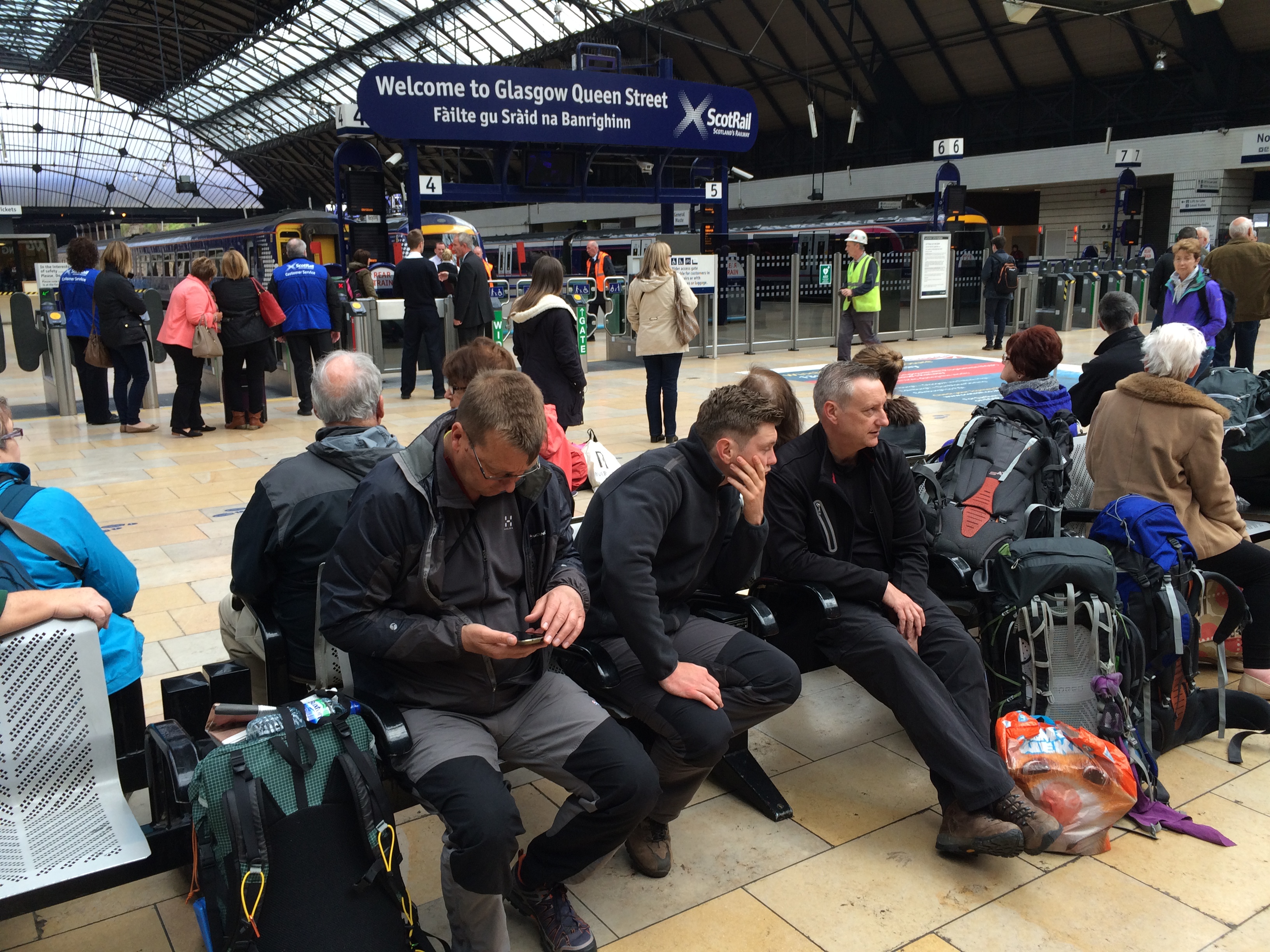
At Queen Street Station in Glasgow you can identify fellow Challengers.  They’re the ones wearing no cotton waiting for northbound trains with brick-dense backpacks at their feet, the smaller the better.  Size matters in this business.

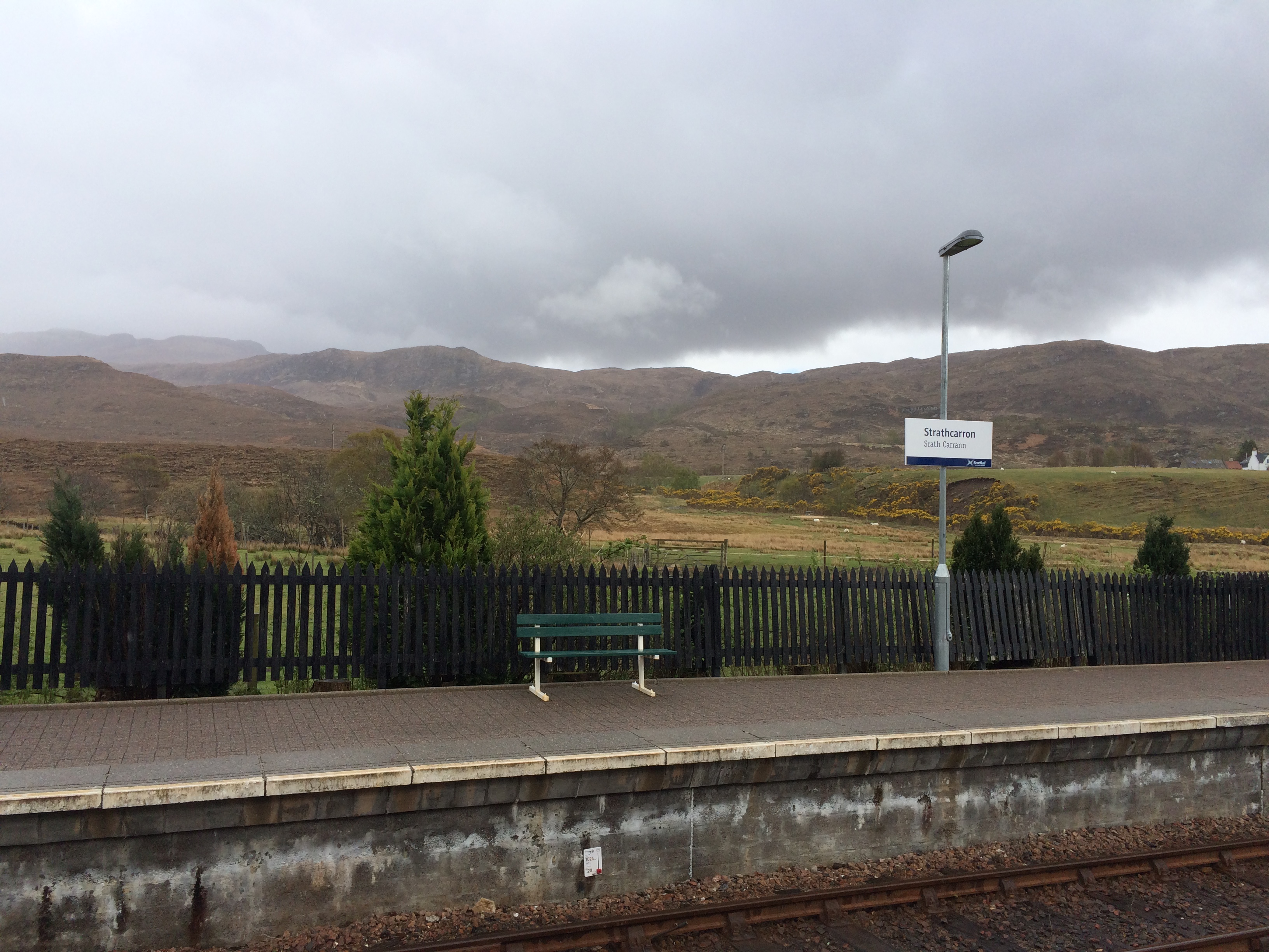
I took the train to Inverness, then changed for Strathcarron, a rail stop where you can’t even buy a ticket and where a post office truck comes by twice a week to sell stamps and pick up packages.

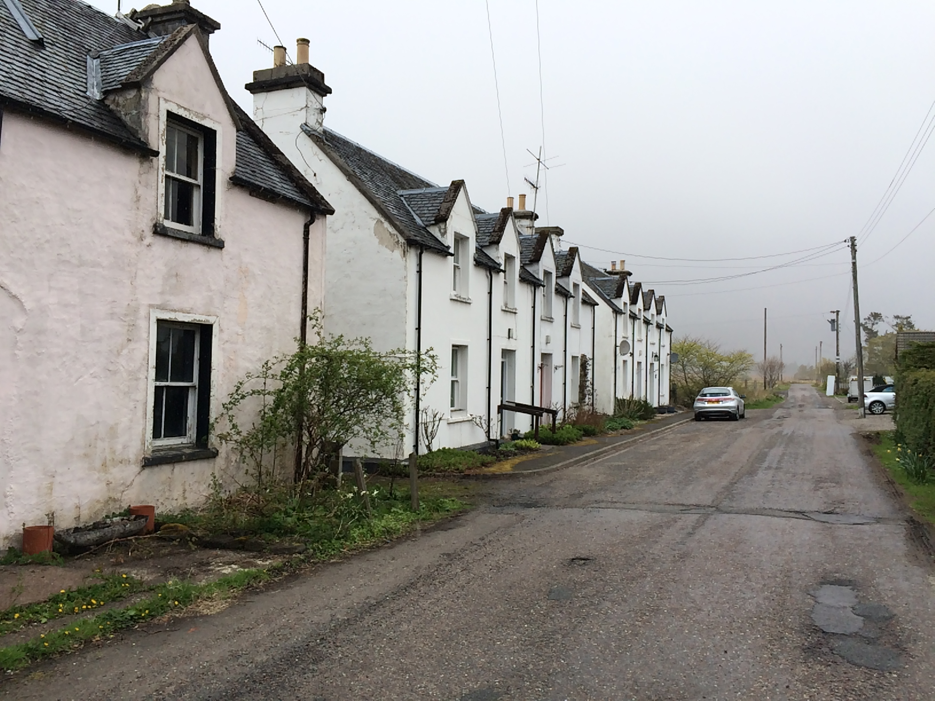
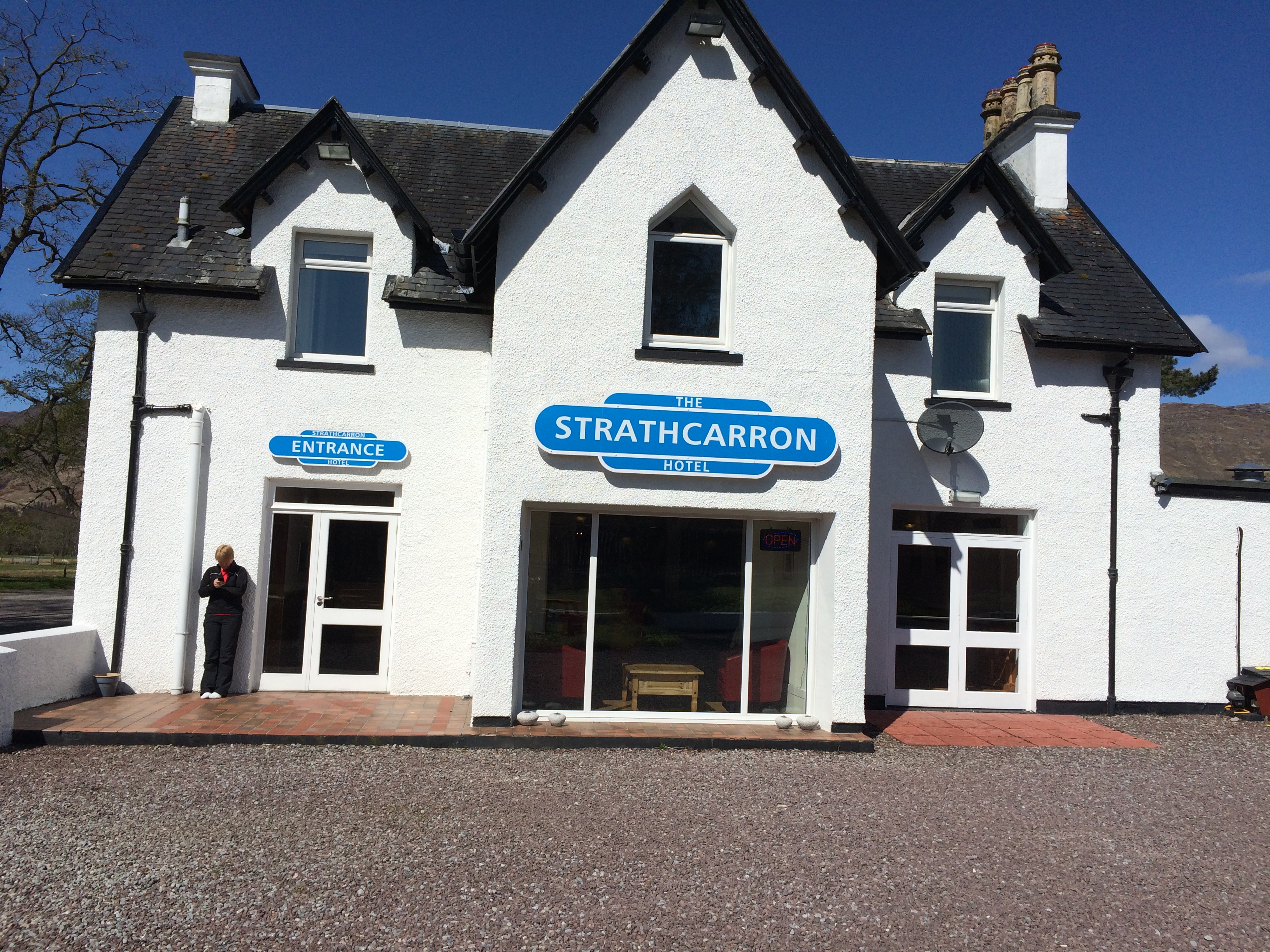
There is a village nearby, but I didn’t have to go there because there is a hotel next to the railroad tracks.  Next to it is a single street with blocks of houses, some of them empty.

It was drizzly and cool.  But this morning, the starting day, it’s sunny.  But not likely to stay that way for long.

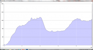
Here is the route profile of the first day of the hike.

Day 1 profile

Day 1

I have an hour to do the final cull and have a small package of rejected items ready for the mail person when he or she shows up at 11. I’ll collect it in Montrose, the terminus, in two weeks, God willing.

Then it’s time (as they say) to crack on.


The Hunterian

You know you’ve arrived, for good or ill, when your last name is turned into a  noun (quisling) or modified to create one (spoonerism).  Something like that happened to two Scots brothers, William and John Hunter.

William (1718-1783) and John (1728-1793) were both physicians and anatomists.  William was London’s leading obstetrician at a time when few babies were delivered by men.  He also wrote a famous treatise on diseases of cartilage.  John collaborated with Edward Jenner, the inventor of the smallpox vaccine, and advocated the conservative treatment of gunshot wounds.  Each had anatomical collections with thousands of human and animal specimens.  John once bribed the member of a funeral party to give him the skeleton of a 7-foot, 7-inch “giant,” and fill the coffin with rocks.

There is a Hunterian Museum in London and a Hunterian Laboratory in Baltimore (at Johns Hopkins) named after John, and a Hunterian Museum and Gallery in Glasgow named after William.  I took the bus out to the University of Glasgow to visit the latter.


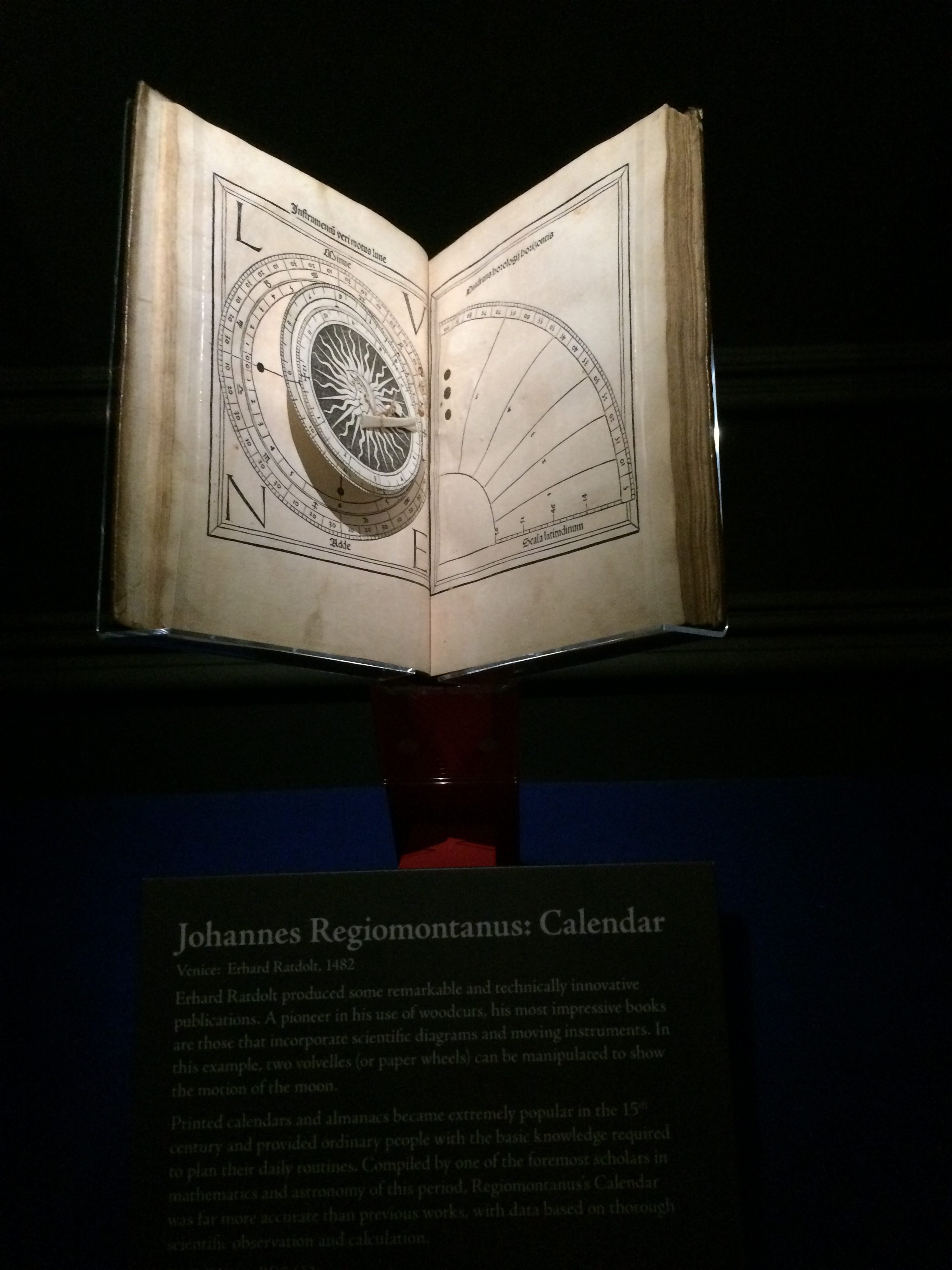
William was a bibliophile, too.  The gallery had a show of books printed before 1501 (known collectively as “incunabula”) built around several dozen he acquired.  The university owns a number of volumes in which only a single copy is known to exist.   On display was a book that had revolving paper disks (“volvelles”)  illustrating astronomical phenomena.

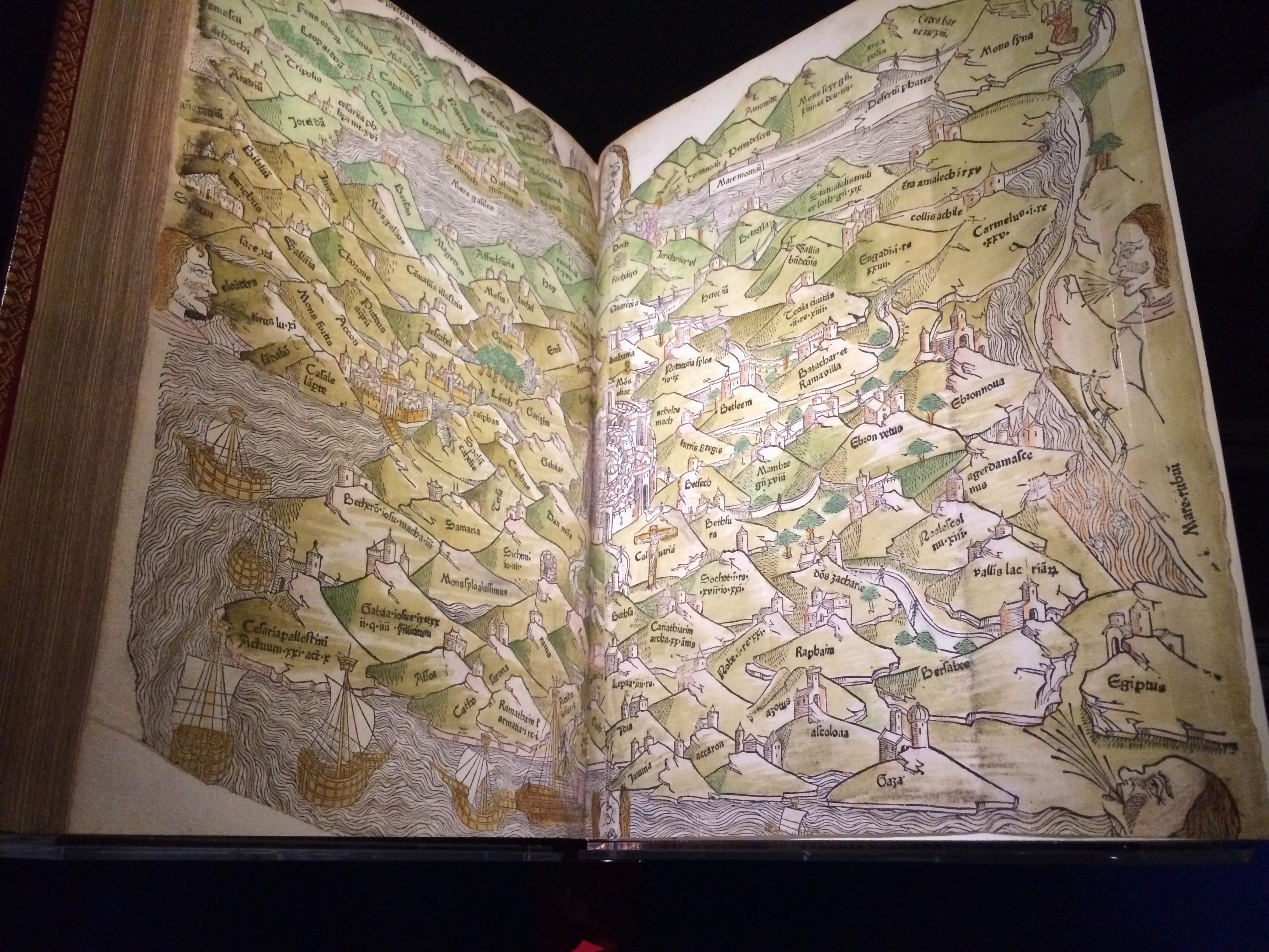
There was one with a colored map of the Holy Land in the endpapers.

I and 30 elderly women listened to a gallery talk about one of the first editions of “The Canterbury Tales,” sitting on stools in the dark around the dramatically lit book.

I then went across the road, under an arch, through a cloister and up two flights of stairs to the part of the Hunterian where historical and natural objects are displayed,

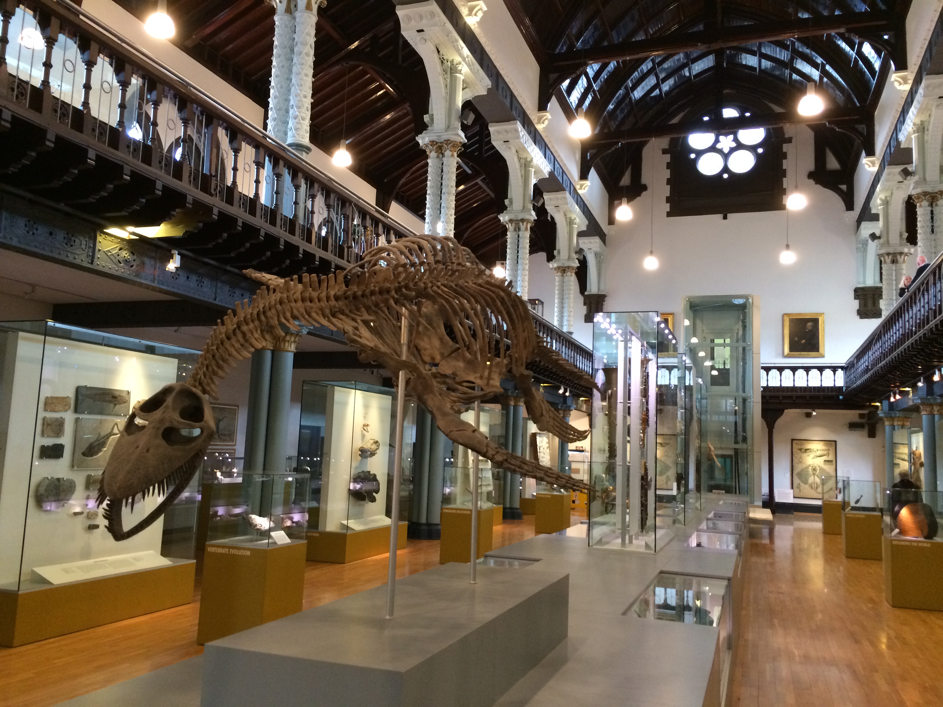
There was a hall reminiscent of so many in natural history museums.  This one featured a plesiosaur.

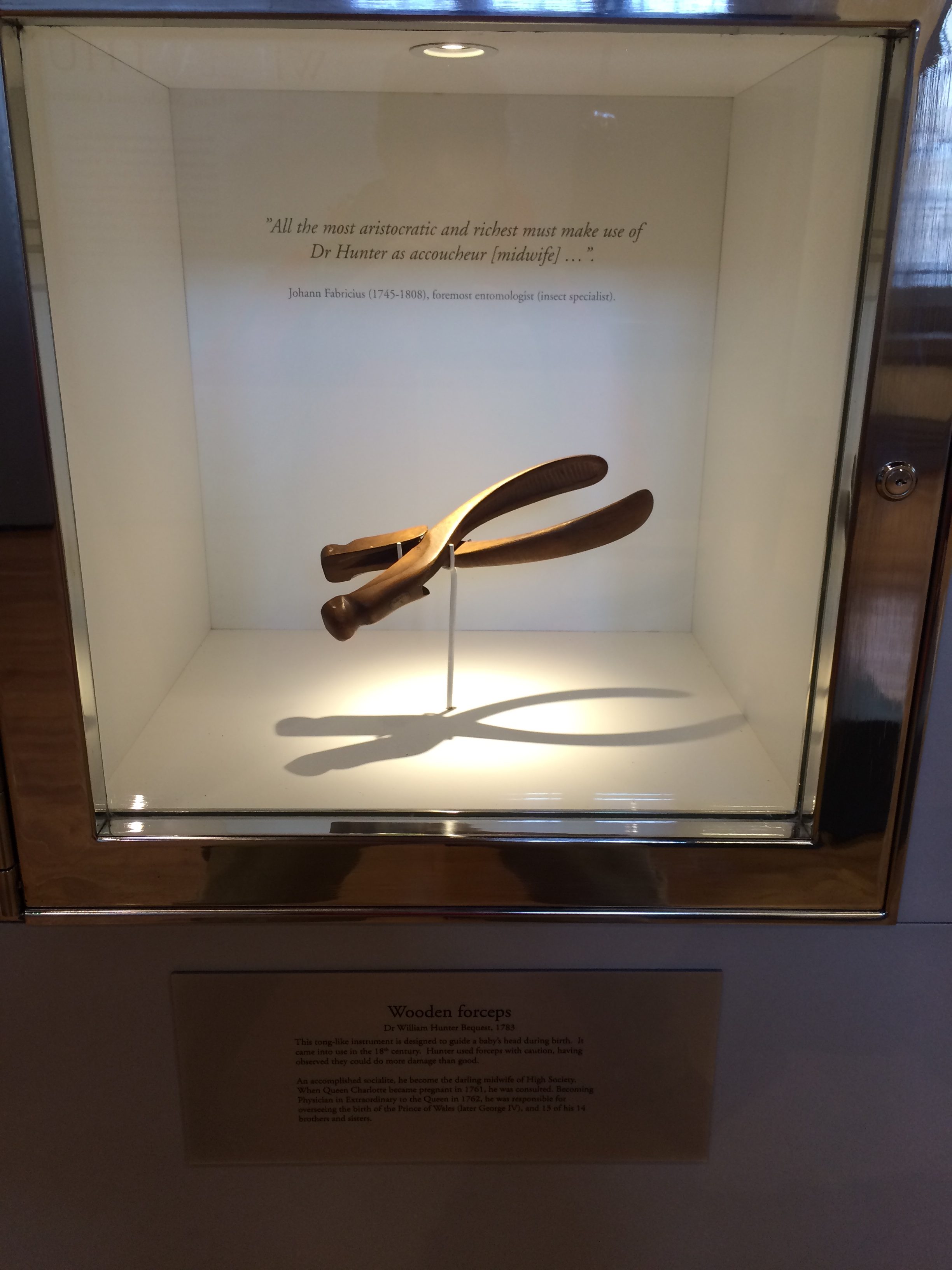
Hunter’s wooden obstetrical forceps (an instrument he apparently thought was overused) was on display.

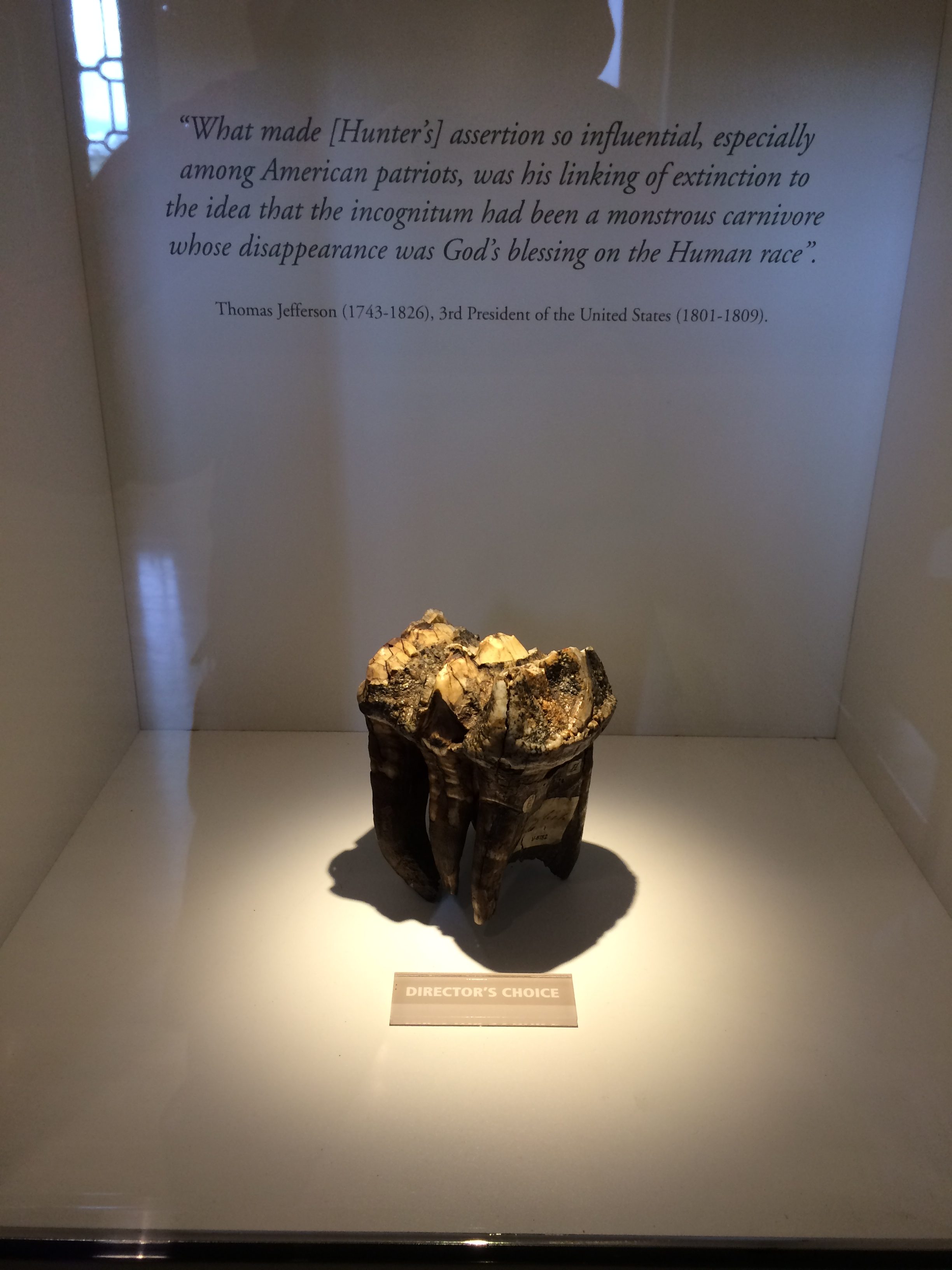
As was a mastodon tooth he collected.  The quotation behind it is from Thomas Jefferson, another polymath.

As with the books, these objects were beautifully bracketed and illuminated, an art in itself.

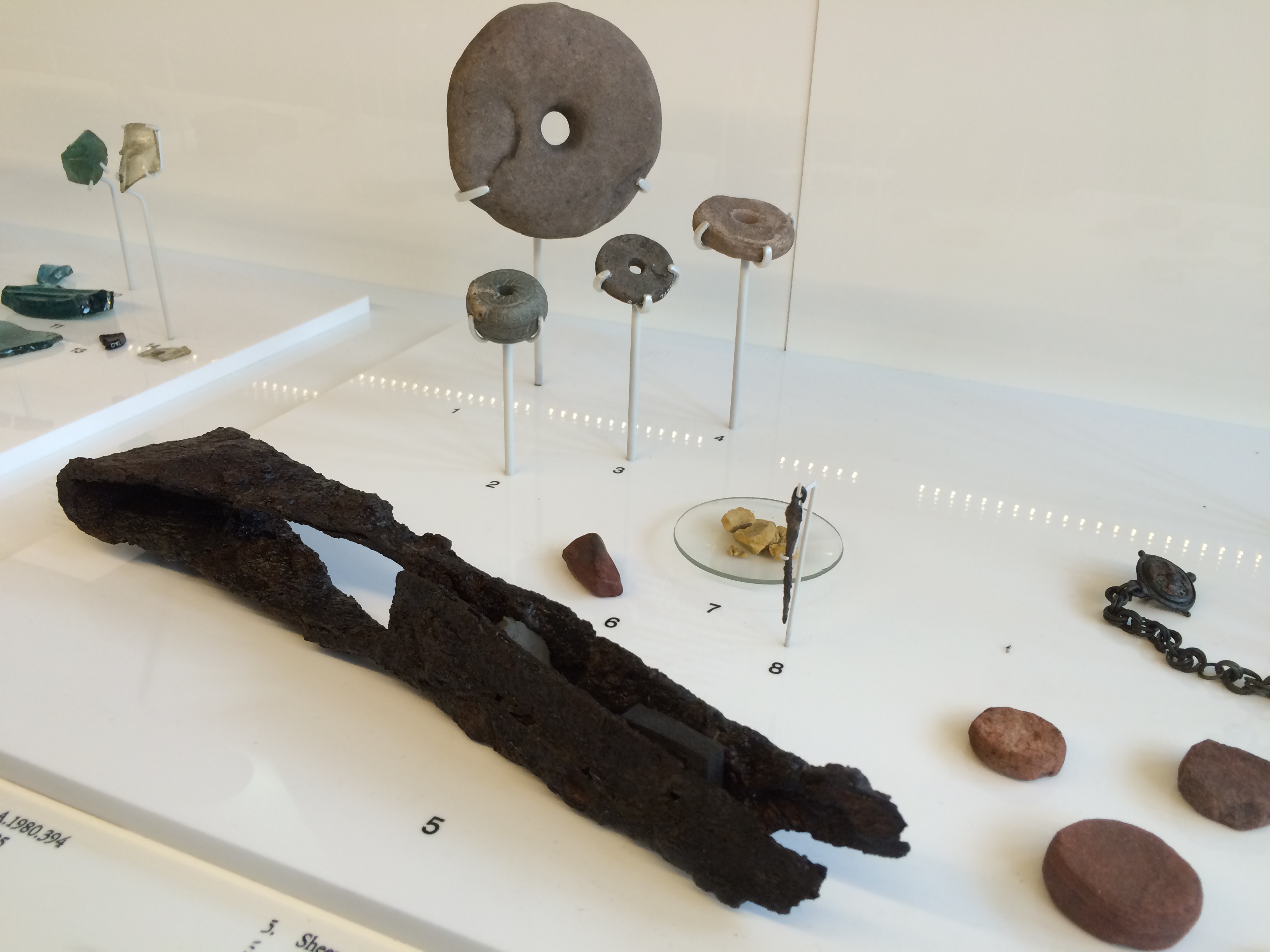
Nearby was a case containing relics from a dig at the Antonine Wall, a Roman wall built in AD 142 from turf on a stone base.  It’s a northern version of Hadrian’s Wall, spanning 40 miles at the waist of Scotland.  One of the things found was a rusted but still recognizable pair of sheep shears, a foreshadowing of  the future of the Highlands.

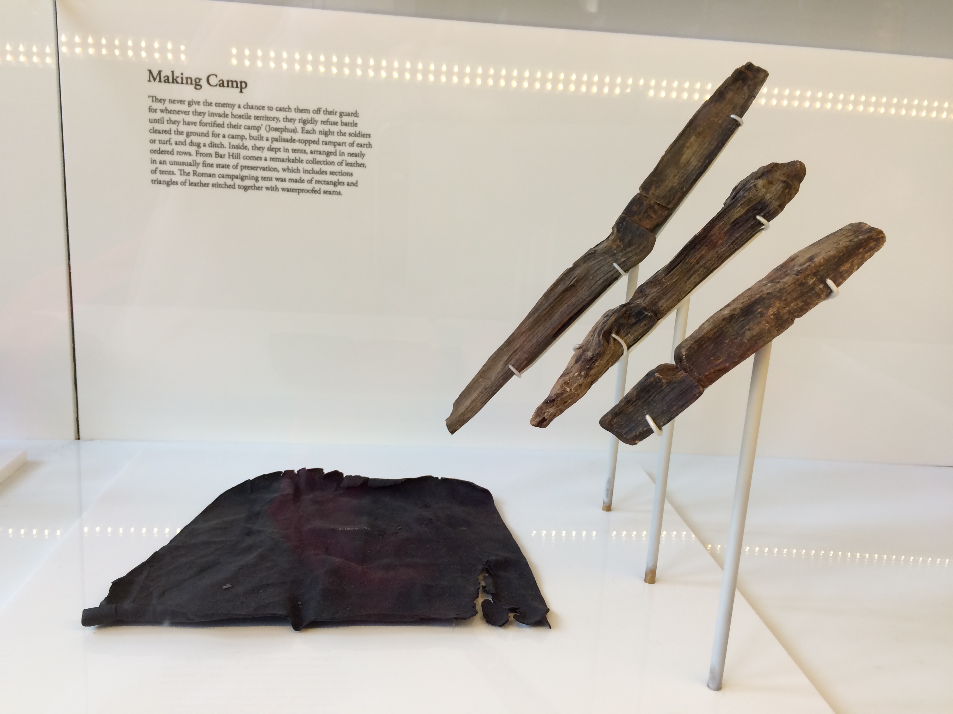
Nearby, unbelievably, was the remnant of a leather tent and tent pegs.

Which reminded me:  It was time to go camping.


Charles Rennie Mackintosh

Last year, at the tail end of my walk across Scotland one of the most famous buildings in the world burned one block from the hotel where I’d stayed. When I returned to pick up luggage I’d left, it was still smoking and the architecture world still weeping.

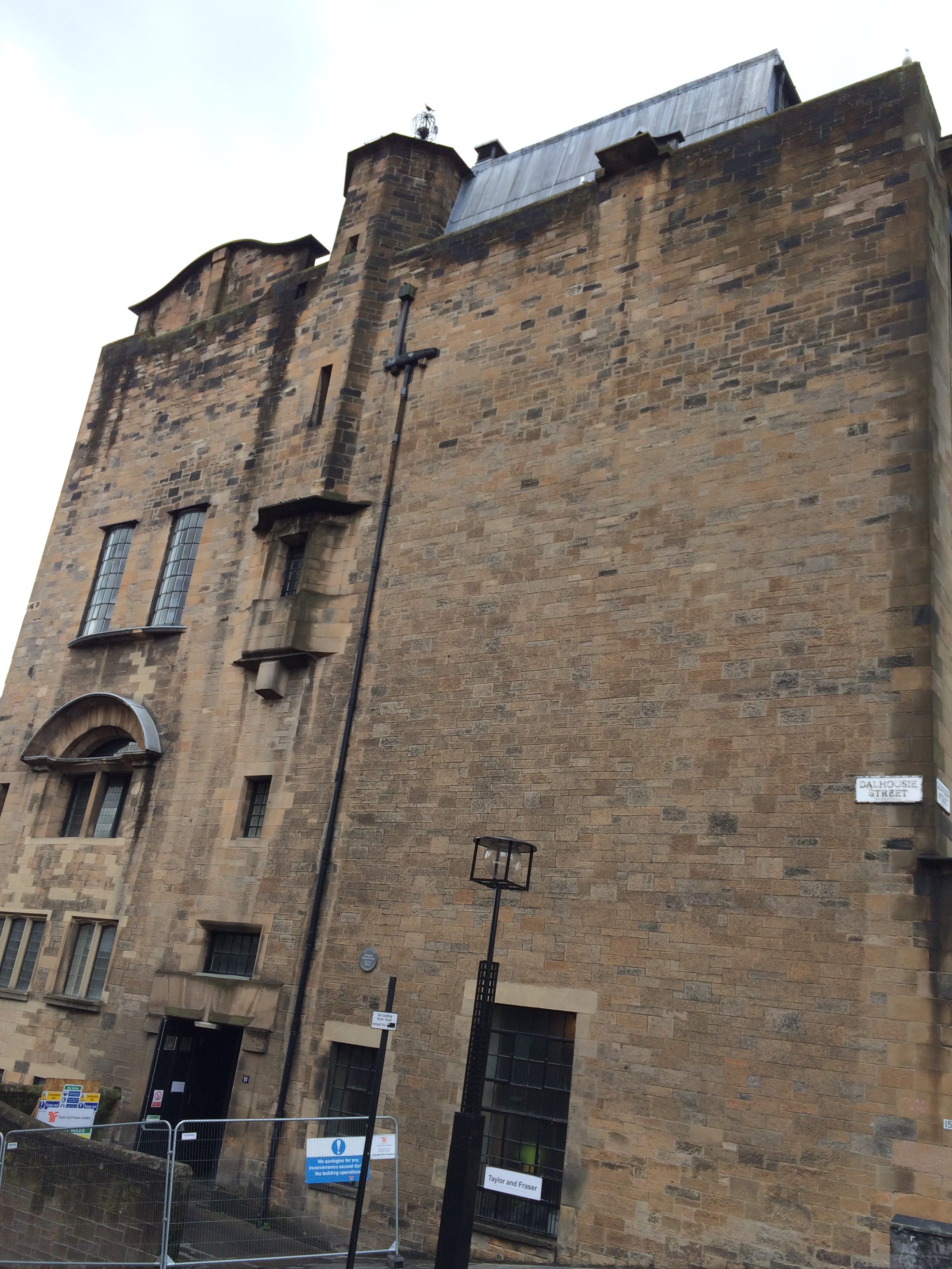
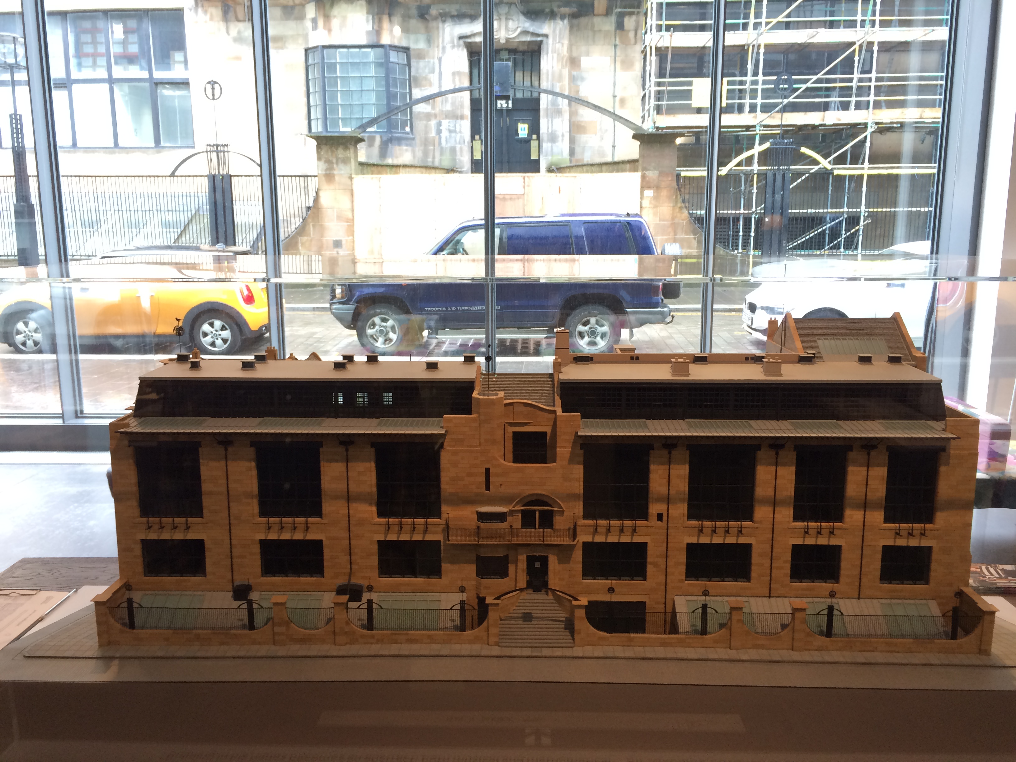
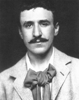
Showpiece and workplace, the Mackintosh Building was the beating heart of the Glasgow School of Art. Completed in two stages, 1899 and 1909, it embodied the best of Charles Rennie Mackintosh, Scotland’s greatest architect.

I was only vaguely aware of Mackintosh when I came to Glasgow last year, certainly not enough to go into the building that I walked by a dozen times in three days. This I regret.

The right half of the building in the model above was burned.  The library, a room with a two-story ceiling full of Mackintosh’s furniture and decorative details, as well as lots of books, drawings and manuscripts, was incinerated. Archaeologists sifted through the ashes for salvageable remains.  The entire building is closed.

Mackintosh (1868-1928) grew up in Glasgow and attended the Glasgow School of Art. He submitted the design for a long-awaited purpose-built home for the school when he was in his twenties and not yet a partner of the firm where he worked. It was not fully attributed to him to years.

The design incorporated several references and styles. On a steep slope, it had a tower and slit windows (and an expanse of solid wall on one end) that echoed Scottish castle architecture.  At the same time, it , incorporated huge windows on the northern side to illuminate studios–a great improvement over the school’s rented space for its students.

It had Art Nouveau decoration and ironwork influenced by the japonisme style. The second half of the building was more angular and modernist. There was everything an art student might need, including a studio for drawing live animals that had its own ground-floor entrance.  A camel was there at least once.

Somehow, it all holds together.

Although Mackintosh designed many famous buildings he didn’t bring in enough business and was eventually asked to leave the firm. He moved to England and then to France, giving up architecture in favor of watercolor painting, of which he was also a master. He died in London at age 60 of oral cancer.

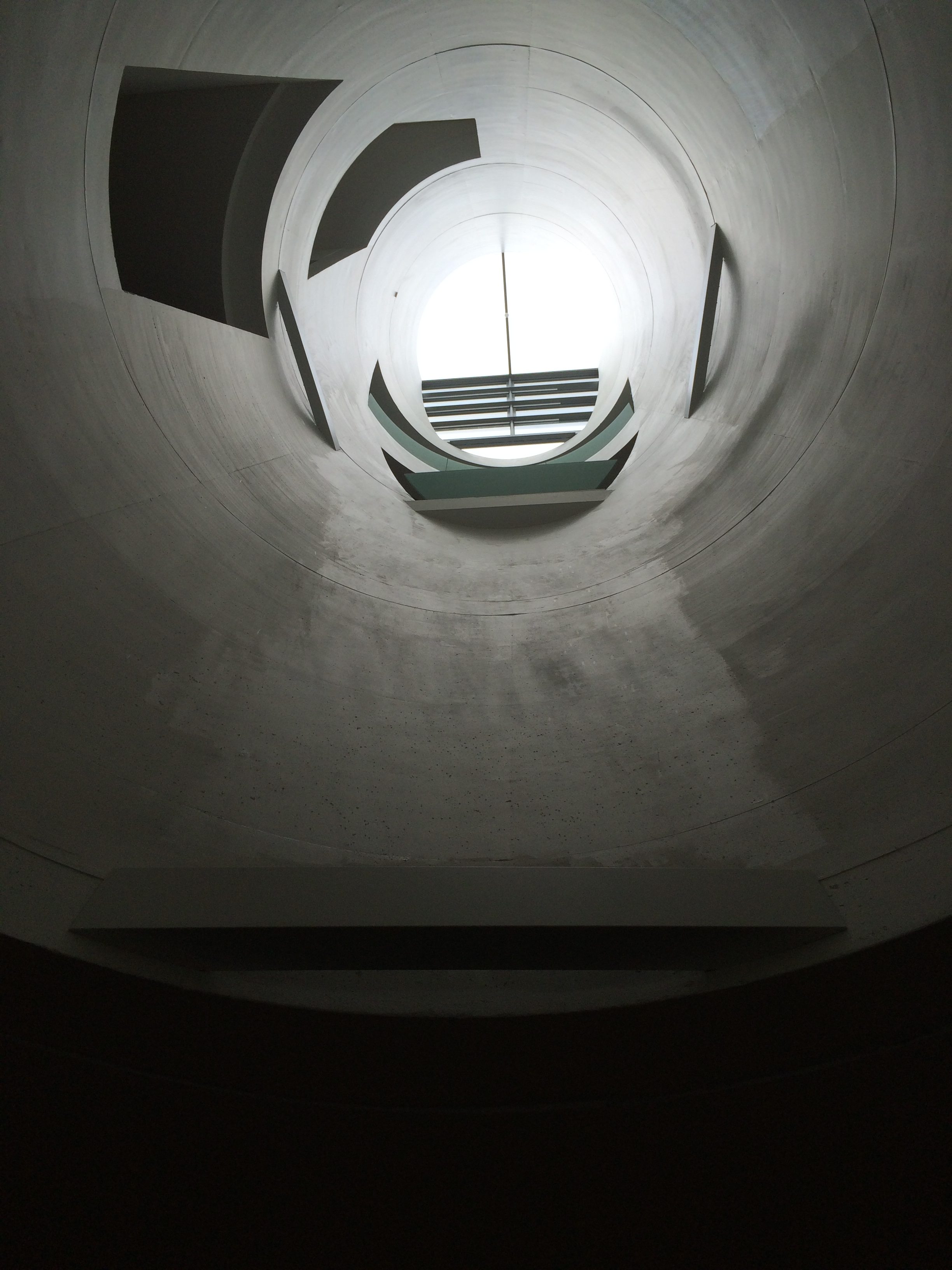
The Glasgow School of Art’s new main building, which opened across the street from the burned building a month before the fire, has some features that reference it, including multi-story light wells.

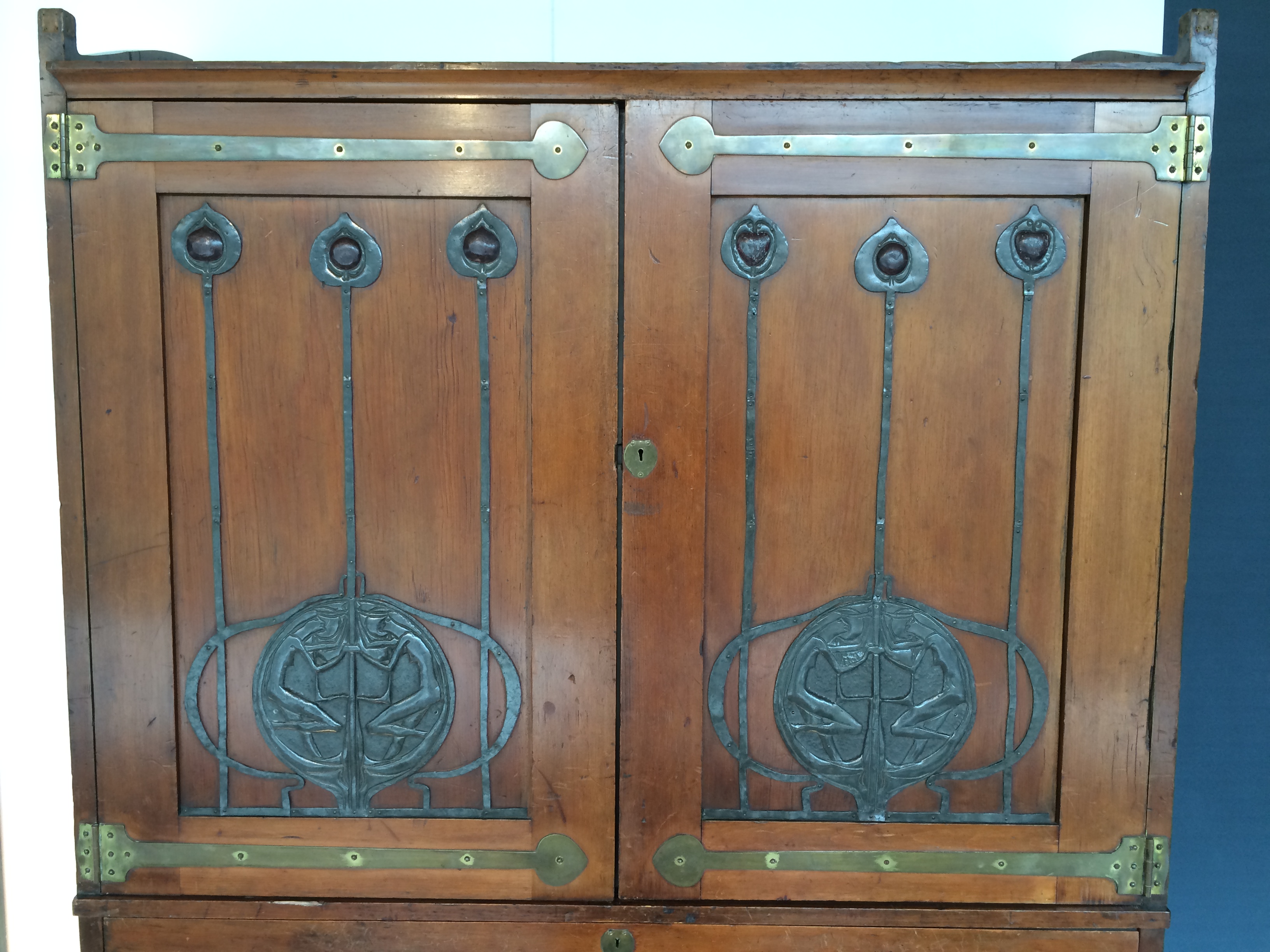
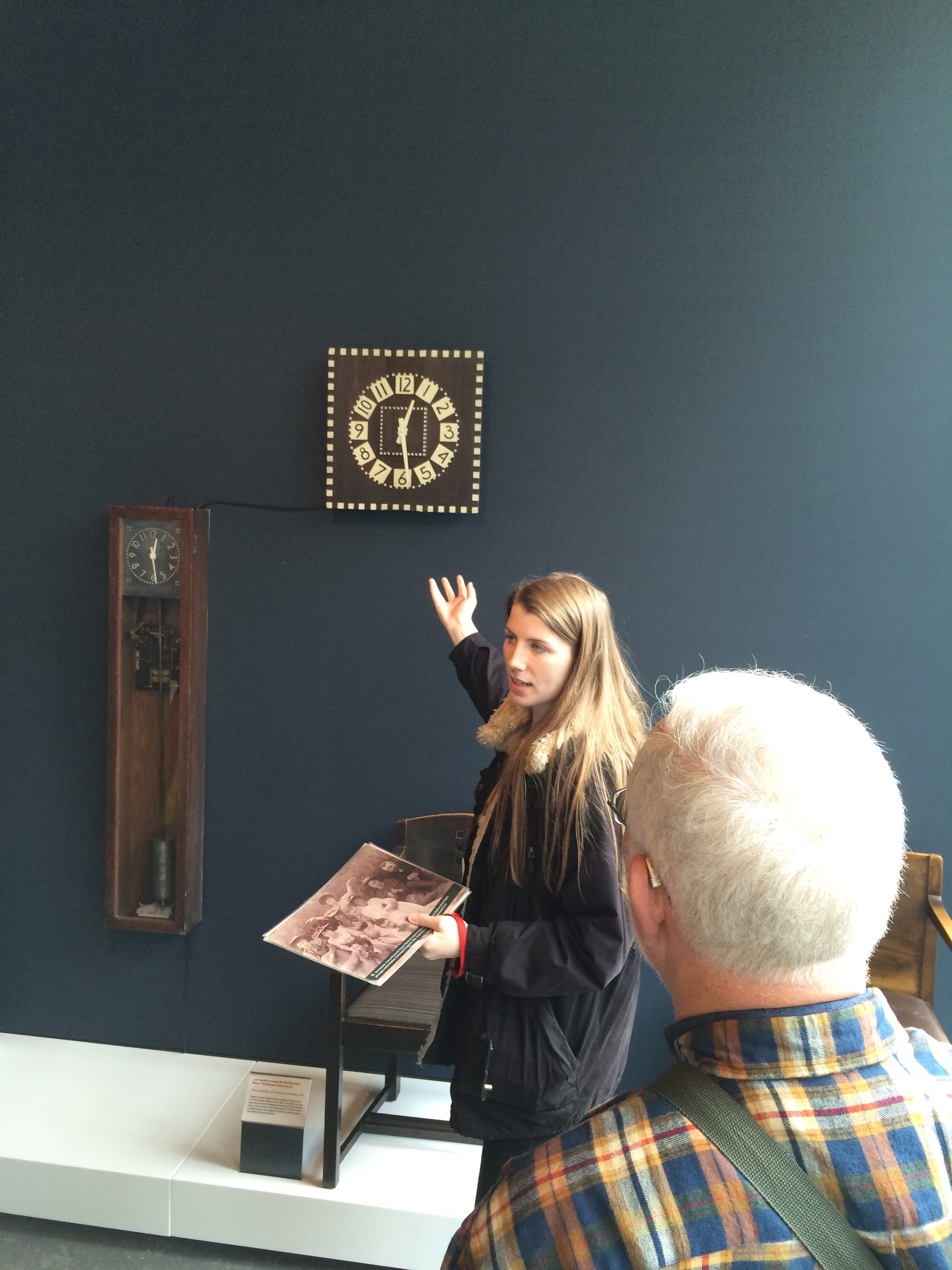
Like Frank Lloyd Wright, Mackintosh had a vision for everything in his buildings, including the furniture, the light fixtures, the fireplaces–all of which he designed.  The new building has a room devoted to Mackintosh’s furniture (and some made by his well-known wife, Margaret Macdonald Mackintosh).

I took a tour led by a woman who graduated last year. Her entire Degree Show installation was destroyed in the fire, as were those of many students.

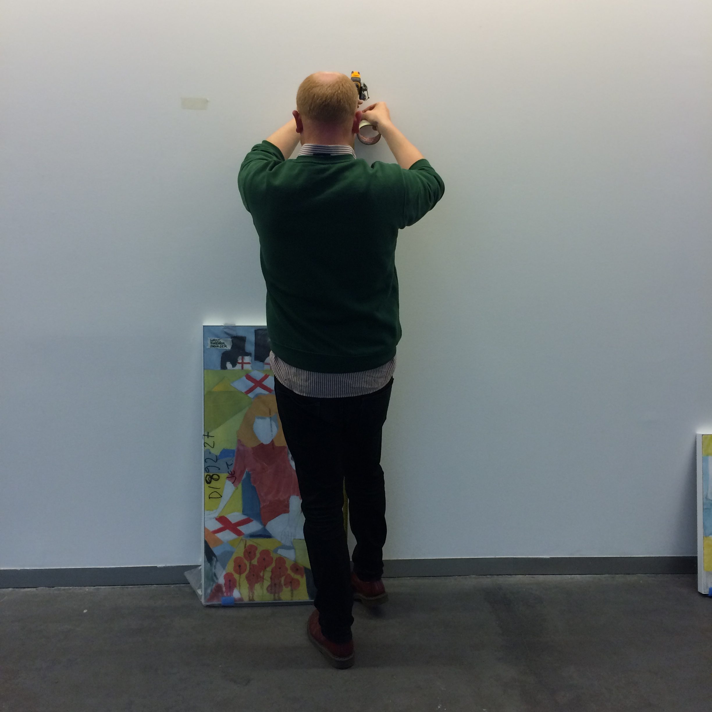
But life and art go on.  She and other students who lost their work are preparing a show that will be mounted in July.  Yesterday, this graduate student was hanging his paintings on the ground floor of the new building for a show that will open in a few days.

The art school and the architecture world are determined to save the Mackintosh Building. It is being renovated at the cost of 28 million pounds and won’t re-open until 2019.


Back again

Sometimes when you go to a place a second time you feel like a returning emigrant. You think you know it. (Of course you don’t).

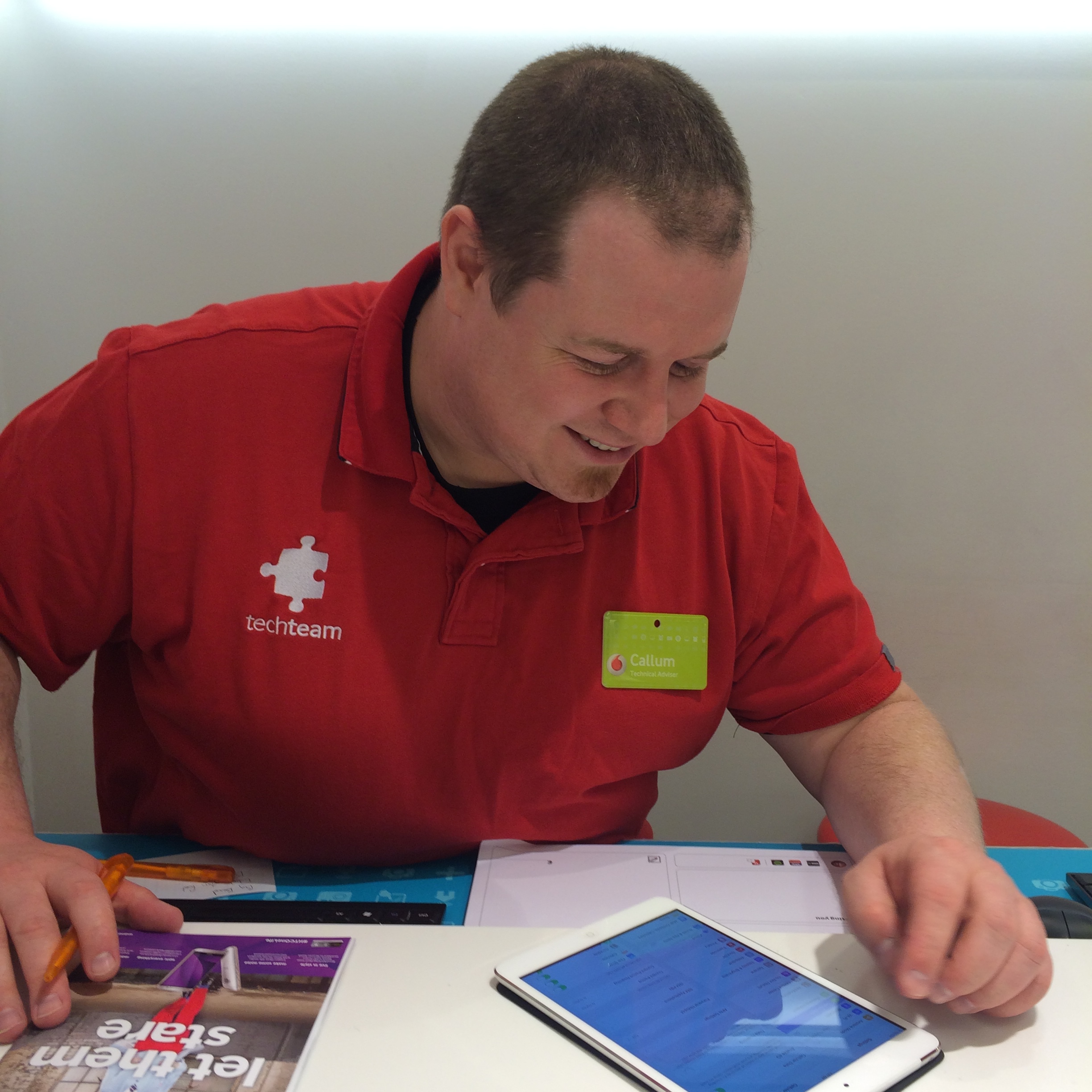
I had that illusion arriving in Glasgow a couple of days ago. I knew how to get to the hotel, a no-star special called the Victorian House, and I recognized the woman behind the desk. When I went to the Vodafone store to get SIM cards for my phone and tablet, the same guy who helped me last year, Callum McGavin, helped me again.

I’m back to walk across Scotland, a somewhat unlikely thing to do once, let alone twice.

I’m doing it as part of The Great Outdoors Challenge, an event sponsored by an outdoor magazine is described in more detail in the About section of this blog. I’m taking a different route, more northerly and probably colder; the departure spot, Strathcarron, is at a latitude just south of Juneau, Alaska.  It snowed there briefly this week (when it wasn’t raining).

I’m trying to travel lighter this year, but without much success. The pack tipped in at 28.5 pounds on the airline scales at BWI.  That was before food, electronics and various random items were added.

I’m carrying less clothing this time (although I did throw in a third pair of socks at the last minute). In general, however, I’m following the advice of the well-known outdoorswoman, Dorothy Parker: “Provide for the luxuries and let the necessities take care of themselves.”

Consequently, I once again have a small thermos for tea and a mini-Nalgene full of single malt, along with an iPad mini, Bluetooth keyboard, rechargeable battery, and a paperback book called “The Highland Clearances.”

I bought the food through a company in England that offers a discount to “Challengers” (as we’re called) and had it sent to the hotel. Each “ration pack” has 2,700-calories-worth of freeze-dried stuff and cereal bars–more than enough for a day.  The day I arrived I divided the packs and sent them to three B&Bs where I’m stopping along the route.  I included the maps I need for those sections too, so I don’t have to carry them the whole way. I’m trying to be ounce-conscious, which is somewhat ridiculous given my tastes.  Last year I met someone who hadn’t carried a stove on his last seven crossings in order to save weight.

The wild card this year is my right shoulder, which I hurt about 10 days ago when I went over the handlebars of my road bike, landing on it. I swerved off a bike path to avoid three children, hit a rock-filled drainage ditch and flipped. I landed on grass.  It could have been worse.

I ruptured the acromioclavicular ligament, one of two ligaments that attaches the end of the collarbone to the shoulder blade. You can see the two bones are farther apart than they should be, and also out of alignment.

IMG_6195

Surprisingly, the injury was not terribly painful, and my range of motion was hardly affected. (I could still pull a sweater off over my head.) The doctor at the sports medicine clinic suggested I wear a sling for two weeks. I didn’t tell him I was going to try an alternative form of traction–two weeks of downward pressure with a backpack strap.

It’s actually aching a bit more now than after it happened. Last year I started each day with three aspirin. We’ll see how that works this time.
But first, a little sightseeing.


Newer posts »

© 2025 A wee walk

Theme by Anders NorenUp ↑