
In the 14-day sailing course run by the National Outdoor Leadership School, students take the helm the first day. (David Brown/For The Washington Post)
Eight days into a two-week sailing course in New Zealand, I felt like the young and ineffectual officer in “Master and Commander” who ends his troubles by jumping off the ship holding a cannonball.
Over the course of the day in an otherwise beautiful place, I had made a half-dozen mistakes. When we shortened the mainsail, I failed to recognize the tack — a grommet at the corner of the sail — for the first reef. I asked how to read the jib’s telltales, something we had been taught three days before. One time, I wrapped the jib sheet on the winch counterclockwise, the opposite of the way it should go. In a man-overboard drill, it took me three tries to snag a life ring named “Frank” with a boat hook as one of my fellow students, with great effort, got me within reach.
Maybe I was too old to learn to sail, I thought to myself after we rafted up with our companion boat at a mooring ball at the end of the day. I badly wanted a beer, but had to settle for one more cup of tea as I and the rest of the crew retreated below deck to review each others’ performance.
Sailing once was an important occupation in America; in 1870, 1 percent of working men were sailors. Today, it’s entertainment. People are born into sailing by proximity to water, wealth or an antiquated view of a well-rounded education. I learned to sail at a summer camp in the 1960s. It was kind of like learning to swim.
I knew, however, that real sailing wasn’t holding the tiller of a 10-foot dinghy. Real sailing happened in boats with keels and sails so big you couldn’t control them just by hand. It involved knots, lore and history. I had the sense, too, that real sailing was more than work or play. It was also a cramped and dangerous version of life.
Last fall, I learned that the National Outdoor Leadership School — an organization headquartered in Wyoming with branches around the world — offered a two-week, learn-from-scratch sailing course in New Zealand. Most students at NOLS are in high school and college. This one, however, was for “adults,” which at 65 described me well. I didn’t have a moment to lose. Plus, I’d get to see one of Earth’s most exotic places.
In one of the periodic sessions to review my progress during the course, the instructor, a 49-year-old Australian named Stephanie, brought me to the foredeck late one afternoon. We sat in the sun. A few days had passed since my day of mistakes, but I was still discouraged. She stopped me as I recounted my deficiencies.
“Instead of learning to sail three hours a week over nine months, we do it in two weeks,” she said, stating the obvious. “It’s hard work, confusing and overwhelming. But we find it works.”
She was right, as she was in just about everything on board. And you can even learn to sail.

Cass, a New Zealander back home after years of itinerant teaching, explains the physics of sailing. (David Brown)
As its name suggests, NOLS is a school. It’s not an outfitter or a guide service. (Although, it resembles them in certain ways.) It teaches backpacking, rock climbing, sea kayaking, sailing and skiing at 17 locations, among them India, Tanzania and Chile. The courses last from one week to five months; some colleges give credit for them.
In addition to outdoors skills, NOLS aspires to teach more abstract ones — judgment, self-awareness, clear communication, tolerance for adversity and other traits of good leaders. It contends that a group of people working together has needs, like an individual, and is nourished by healthy “expedition behavior.” NASA routinely sends new classes of astronauts on NOLS trips, so I knew this would be an ambitious course in a beautiful place.
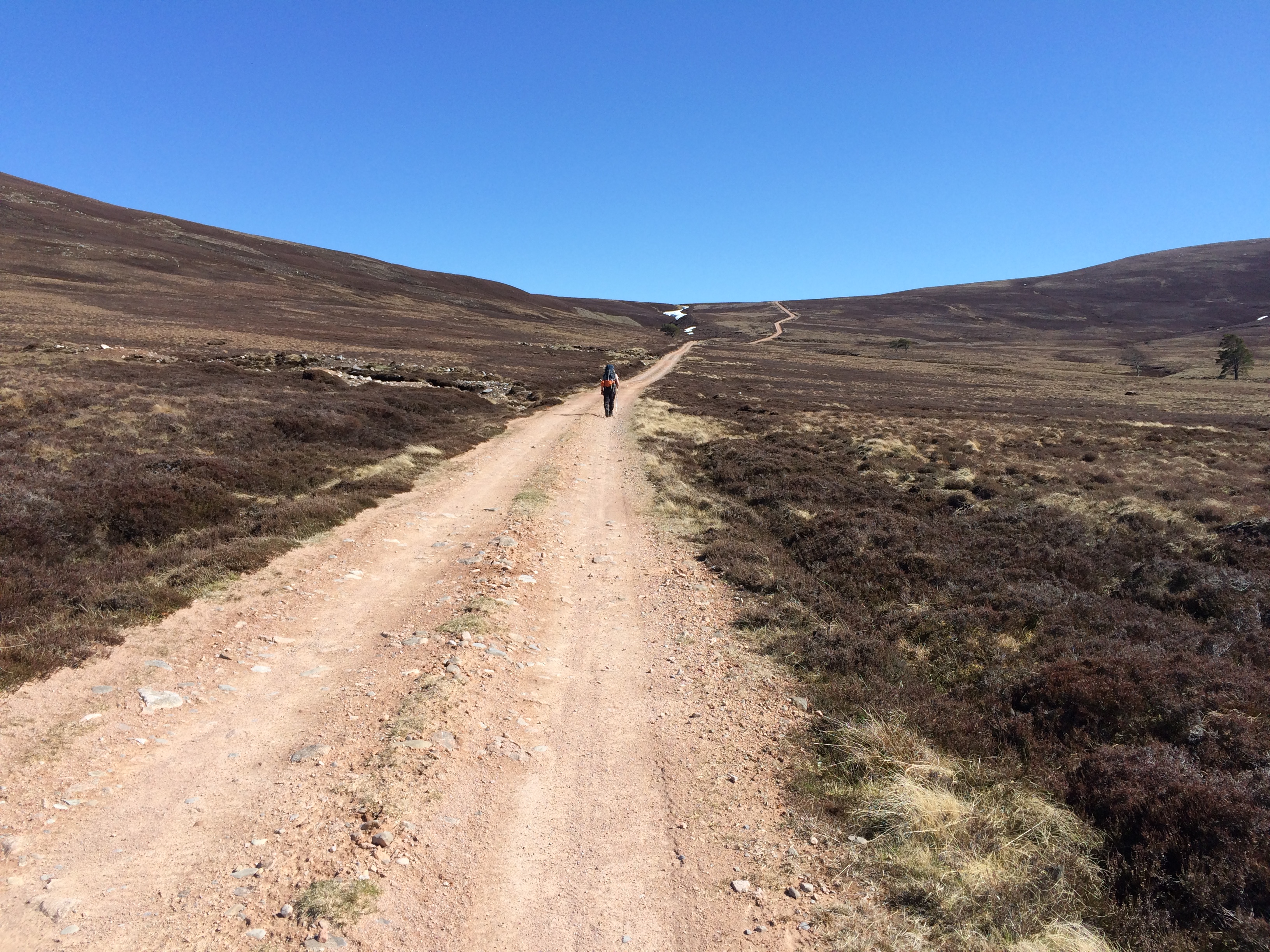
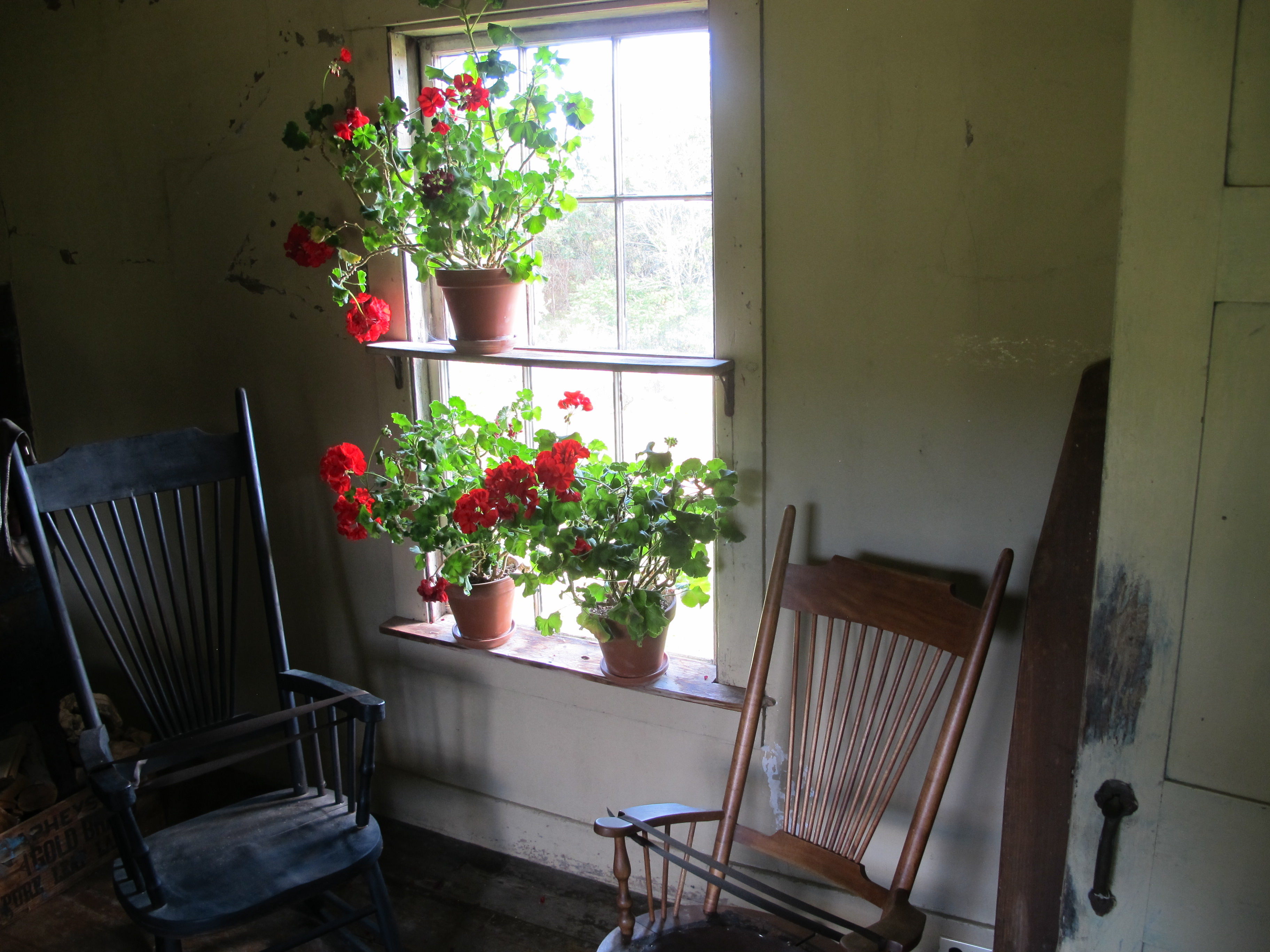
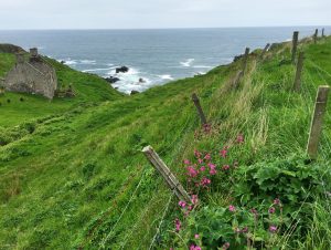
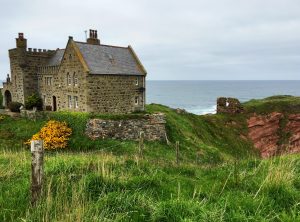
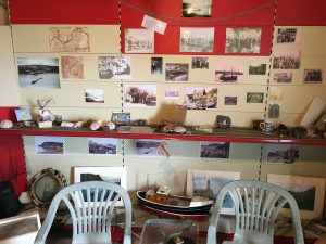
That place was the Marlborough Sounds, a ragged collection of straits, channels, reaches, bays, inlets and islands at the north end of the South Island. The sounds open onto Cook Strait, the notoriously rough passage between the South and North Islands. Across it and out of view lies Wellington, New Zealand’s capital.
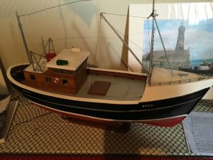
We sailed on two chartered Marconi-rigged sloops, one 35 feet long, the other 39. They had diesel engines, the usual electronics and self-furling jibs. Nothing fancy. The group consisted of nine students (six men, three women), two instructors and one instructor-in-training — six people on each boat.
Stephanie had sailed everything, including stripped-down racing yachts, tricked-out catamarans, a schooner taking naturalists to Antarctica and the 143-foot replica of British Navy Lt. James Cook’s HM Bark Endeavour. She’d worked for NOLS part-time for 18 years while teaching elsewhere, on and off the water, around the South Pacific. As of mid-November she’d spent five weeks at home in the year.
Her fellow instructor, a 38-year-old New Zealand woman named Cass, was similarly itinerant. Since 2003, she’d led expeditions in nine countries. Between courses, she explored on her own, staying with friends and relatives or sojourning in hostels and hotels. She’d just moved back to New Zealand. “It’s been almost 15 years since I paid rent,” she said at one point.
They knew everything about sailing. Their judgment was good. They never sidestepped a teachable moment. They were patient and indefatigable. They showed that, despite heroic efforts to shoehorn it into a curriculum, leadership is best taught by example.
They also embodied the truth that sailing is one of the few activities in which unrelated adults can tell each other to do things without decorous preliminaries, including saying “please.” This could be jarring at times.
There were other things to get used to as well.
NOLS likes hardship. If there’s a difficult or old-fashioned way to do something, NOLS will choose it. This builds character. Up to a point, I agree.
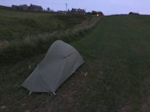
The course forbade alcohol. This wasn’t a surprise, even though it was an adult course, not one for high school or college students. We had to leave our cellphones on shore, which was good for all sorts of reasons. The boats had handheld showers in the heads, but we didn’t use them because we were conserving water. To freshen up, we swam off the boats at the end of the day. The water was in the mid-60s, which made this form of hygiene extra virtuous.
The food, however, was bad.
NOLS outfits its courses as if they all took place in the Wind River Range in winter. We had pasta, white potatoes, sweet potatoes, quinoa, rice, oatmeal and flour. We made bread, scones and muffins. We had vacuum-packed tuna that smelled like cat food and vacuum-packed beef that looked like dog treats. Our weekly vegetable-and-fruit ration for six people consisted of three onions, two heads of garlic, one cabbage, one pumpkin and a dozen apples and oranges. But it was late spring in New Zealand. Berries were coming into season. There were greens galore!
I have a friend who wrote a book about Martin Frobisher’s search for a Northwest Passage to China in 1576. I consulted him about the rations for that Arctic voyage. They included oatmeal, “wheat meal,” “biscuit bread,” dried peas, rice, salted beef and “stockfish.” Elizabethan sailors would have been right at home on a NOLS trip.
There was one thing I wasn’t prepared for, although maybe I should have been.
For people my age who aren’t already sailors, the most consequential nautical decision they’re likely to make is what size cabin to get on a Viking cruise. I realized that my $5,619 bill was for tuition, not a vacation. Nevertheless, I thought there might be a few other late-life novices. There weren’t. I was twice the age of the other students.

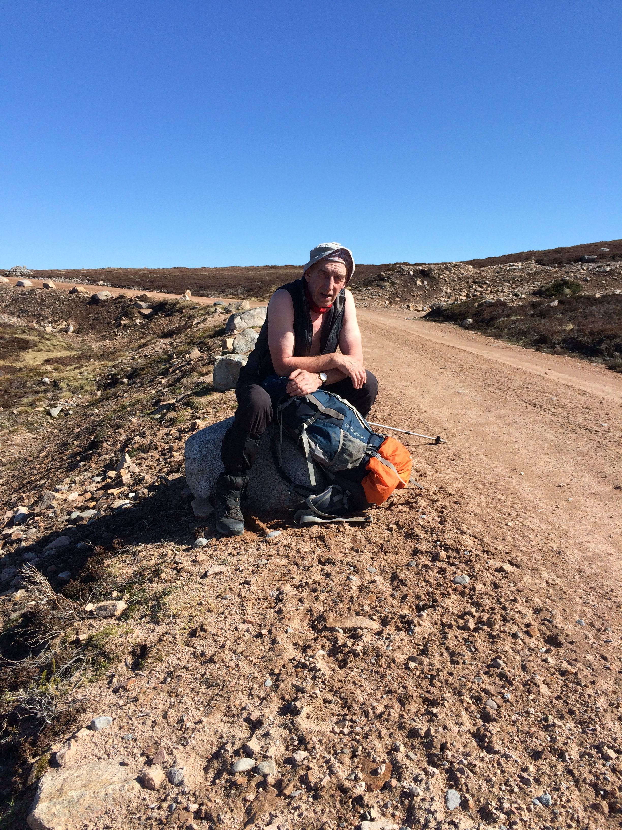
Dennis, recently off a 700-mile hike on the Pacific Crest Trail, shoots a bearing with a compass. (David Brown)
So, all you Sunfish sailors may be asking, what’s so hard about sailing a 35-foot boat?
I’m a (nonpracticing) physician and I can best describe it this way: It’s the difference between doing a finger-stick to check a patient’s blood sugar and putting a central line into his subclavian vein.
Learning to sail, in fact, is a bit like learning medical procedures.
Both require doing things in a specific sequence (and not being able to consult a cheat sheet while you’re doing them). They demand that you know what’s happening to objects — lines threaded through mast and boom, needles, guide wires and catheters — even when you can’t see them. Both favor “situational awareness” and decisiveness, and punish dawdling. Both are done in front of an audience — the patient or the crew — and can do damage.
One secret of NOLS’s pedagogy is that it lets students do things before they are competent or confident, but always with an observer ready to step in and help. That’s similar to the “see one, do one, teach one” culture of medicine — learning in which there is little actual teaching.
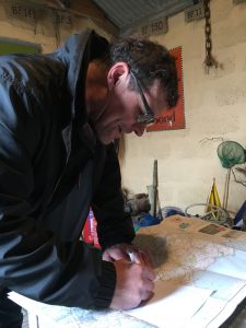
Students each day held one of five roles — mate, engineer, steward, navigator and navigator’s assistant. While the mate’s job was the most demanding — deciding when to raise and shorten sail, taking the helm for docking and mooring — there was no place to hide in the rotation. Every role was essential. The navigator and assistant, for example, were responsible for planning the day’s passage, marking it on the chart, estimating distances, informing the person at the helm of landmarks and hazards, and recording speed and position in the log.
But it wasn’t all work.
One day, we were catching 25-knot gusts on whitecaps at the edge of Cook Strait. People were getting worried as the boat heeled over more than it ever had before. “Let the boat tell you what to do,” Stephanie said in an uncharacteristically Zen pronouncement. A little while later, two members of the crew, simultaneously and unprompted, let out whoops of delight. Everyone else joined in, thrilled by the forces we had, for the moment, harnessed.
And then there was New Zealand all around us.
Although the South Island is temperate, not tropical, the forests are jungle-thick. The treetops are so tight against each other that the land appears to be clothed in a sweater of nubbly yarn. Many of the trees are exotics I’d never heard of — tree ferns, tea trees, cabbage trees.
The fauna was pretty exotic, too.
Four times, we encountered Hector’s dolphins — a small, rare species. We got into a pod of bottlenose dolphins, one of which probed the rudder with its snout. We sailed past blue penguins. When we went ashore one afternoon to talk about changing the crews, a flightless bird called a weka wandered out of the woods and started foraging on the beach. It’s in the rail family, whose American cousins are among our most secretive birds. In New Zealand, they don’t seem to have gotten the message that human beings could be a problem.
Marlborough Sounds is far from being the most isolated part of New Zealand. But it still offers visitors a sense of discovery.
At the place where one of the waterways, Queen Charlotte Sound, meets Cook Strait, uninhabited islands and rock formations rise out of the sea. We sailed near them one day. I looked toward the North Island. The land was out of view, but hovering over it was a cloud bank that stretched along a tenth of the horizon.
This is what the Polynesians saw. Their name for New Zealand — the Maori name — is Aotearoa, which means “long white cloud.”

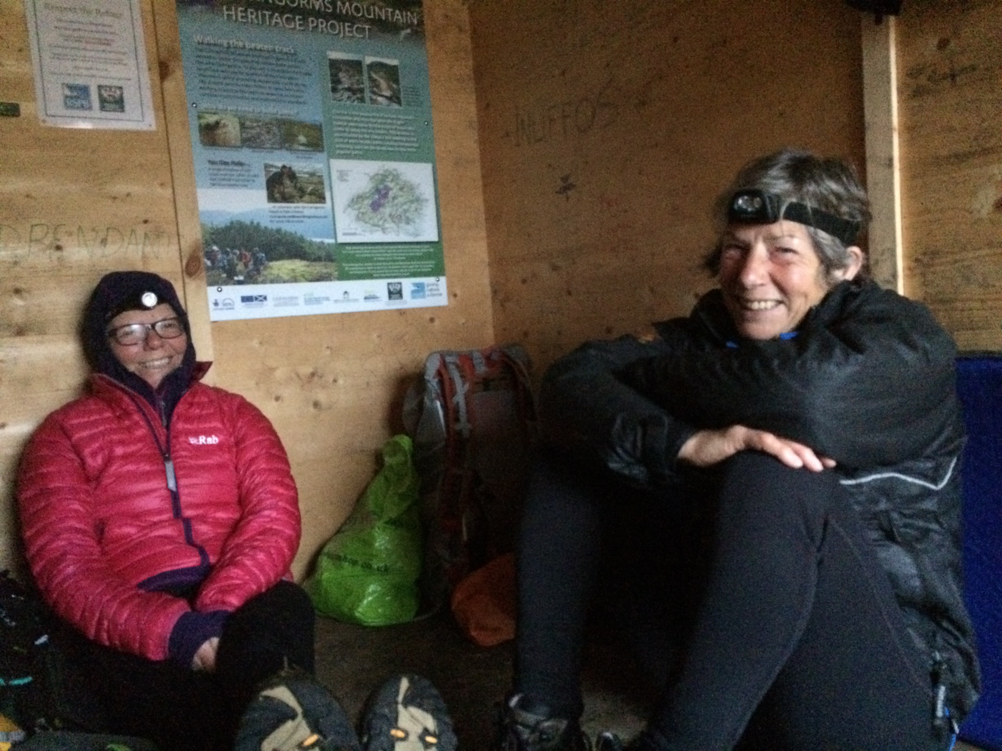
Sarah, an urban planner from Denver, paid for the course with an education award she earned from a year of work with AmeriCorps. (David Brown)
Sailboats are famous for not wasting space, and sailors are famous for keeping the space tidy, but there’s no getting around the lack of privacy.
I slept on the banquette and table in the “saloon,” the common area below deck. The phone booth-sized head opened into this space. At night, a stumble going topside was likely to wake the whole boat. But we all got used to it, and to each other.
It helped that, the first week, we gathered around the table after dinner and told our stories. This was both bonding and entertainment.
For me, it was also a view on millennials, a chance to hear about other roads taken by people who were the age of my only child.
When I learned that my fellow students were all Americans no older than 30, I figured they might be preppies right out of a Vineyard Vines catalogue. I couldn’t have been more wrong.
Five of them were paying for the course from AmeriCorps education awards —$5,900 tuition vouchers earned by 10 months of subsistence-wage service work. The best student among us had gone to a vocational college and was a diesel mechanic. One student had lived three months in a house without electricity or hot water during her senior year in high school. Two weren’t college graduates.
They brought a cornucopia of experience. One had already been a foster parent. One was a former massage therapist, now working for FEMA. One had just come off 700 miles on the Pacific Crest Trail. One had learned rudimentary plumbing and wiring while putting up low-income housing in Utah. One was an actor who’d worked in a fish-cleaning plant in Maine; he regaled us with accent-perfect stories.
Stephanie, the Australian instructor, held us rapt one evening describing a trip on the tall ship Endeavour. The vessel, with a 56-person crew, was sailing off the west coast of Tasmania. In that part of the world, the fetch—the distance wind can blow over water without being obstructed by land—is essentially the circumference of the planet. The seas were so big it took two people to turn the ship’s wheel.
On every swell, Stephanie and her partner surfed the ship diagonally down the wavefront in order to keep the bow from submarining. At the trough, the masts nearly disappeared from view. As the following swell lifted the boat, they straightened it (“two spokes back on the wheel”) until it was perpendicular to the crest. Every swell took concentration. She did this for two hours.
“It was a lot of fun. But tiring,” she said modestly.
These device-free evenings connected us with a seafaring tradition — long monologues. We were like Joseph Conrad’s Marlow telling the story of Lord Jim or the doomed voyage from “Youth” (although we lacked the cigars and claret.) The evenings were one of the best things about the course. And age didn’t matter.

Students calculate the route and distance of the next day’s travel as part of “passage planning.” (David Brown)
Two weeks goes faster than you think. There were life lessons right up to the end.
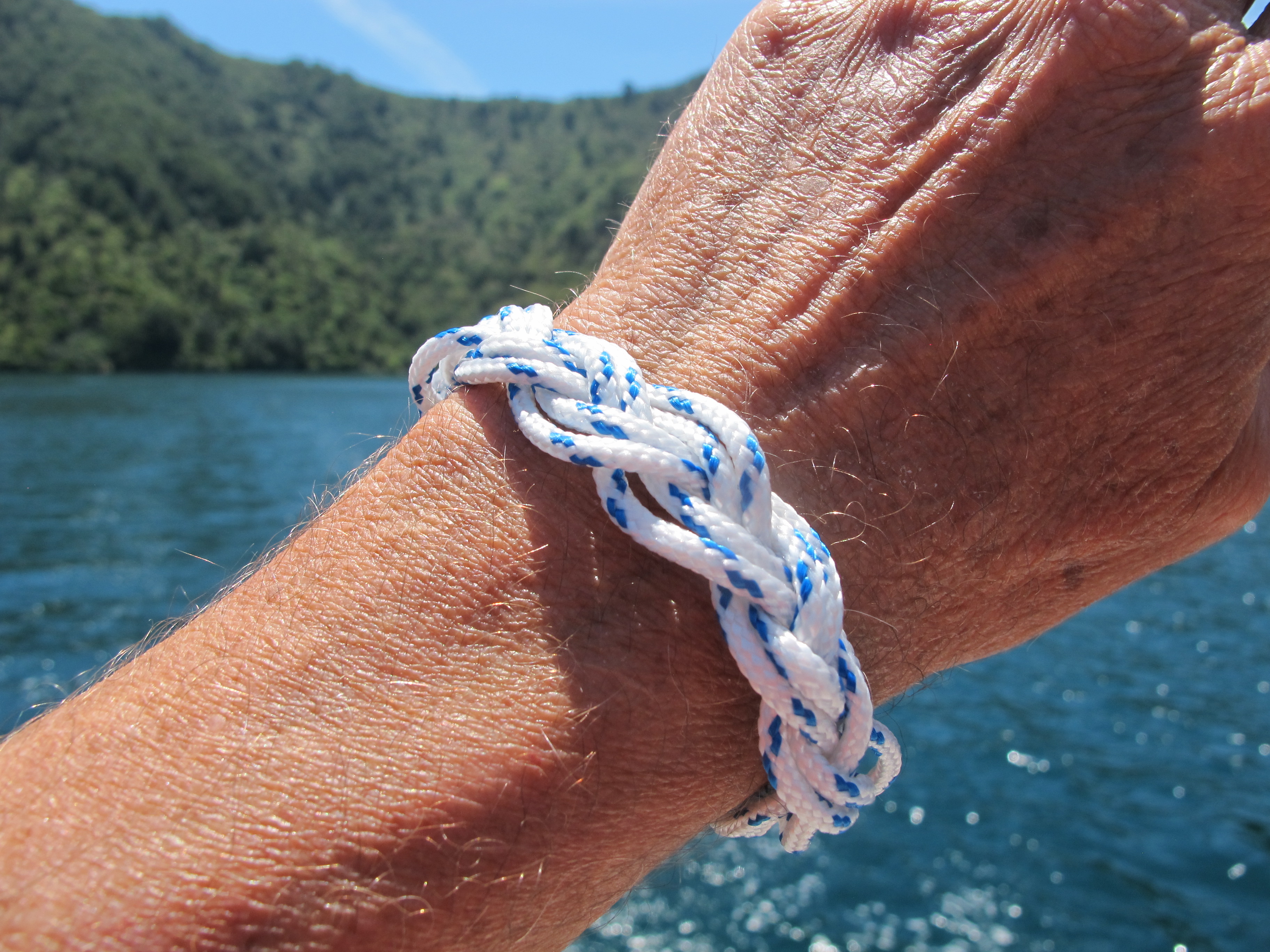
On the last day, the wind died. We had a schedule to keep, so we motored. Not wanting to waste a final teaching opportunity, Stephanie cut pieces of cord and showed us how to make Turk’s heads, a form of decorative rope work often used as bracelets.
We all sat in the cockpit twisting and weaving the line. I had a hard time doing it as soon as I took my eyes off her demonstration.
“Let me guess which way it goes next,” I said, trying to lure her over for help.
“No guesswork. Just do it right,” she said curtly.
I thought of something Clifford W. Ashley (1881-1947) wrote in his famous book of knots: “A knot is never ‘nearly right’; it is either exactly right or it is hopelessly wrong.”
Stephanie took about a dozen turns out of my work. It was a while before she got things straight and could proceed.
“Bit hard, isn’t it?” she said, as much to herself as to me.
A bit hard. Yes.
We can be thankful that life is more forgiving than sailing, and sailing is more forgiving than knot-tying. Also, that it’s never too late to get better at all three — and practice helps.


 The Milky Way rises in Big Bend National Park. (Brad Goldpaint/Getty Images)


Recent Comments