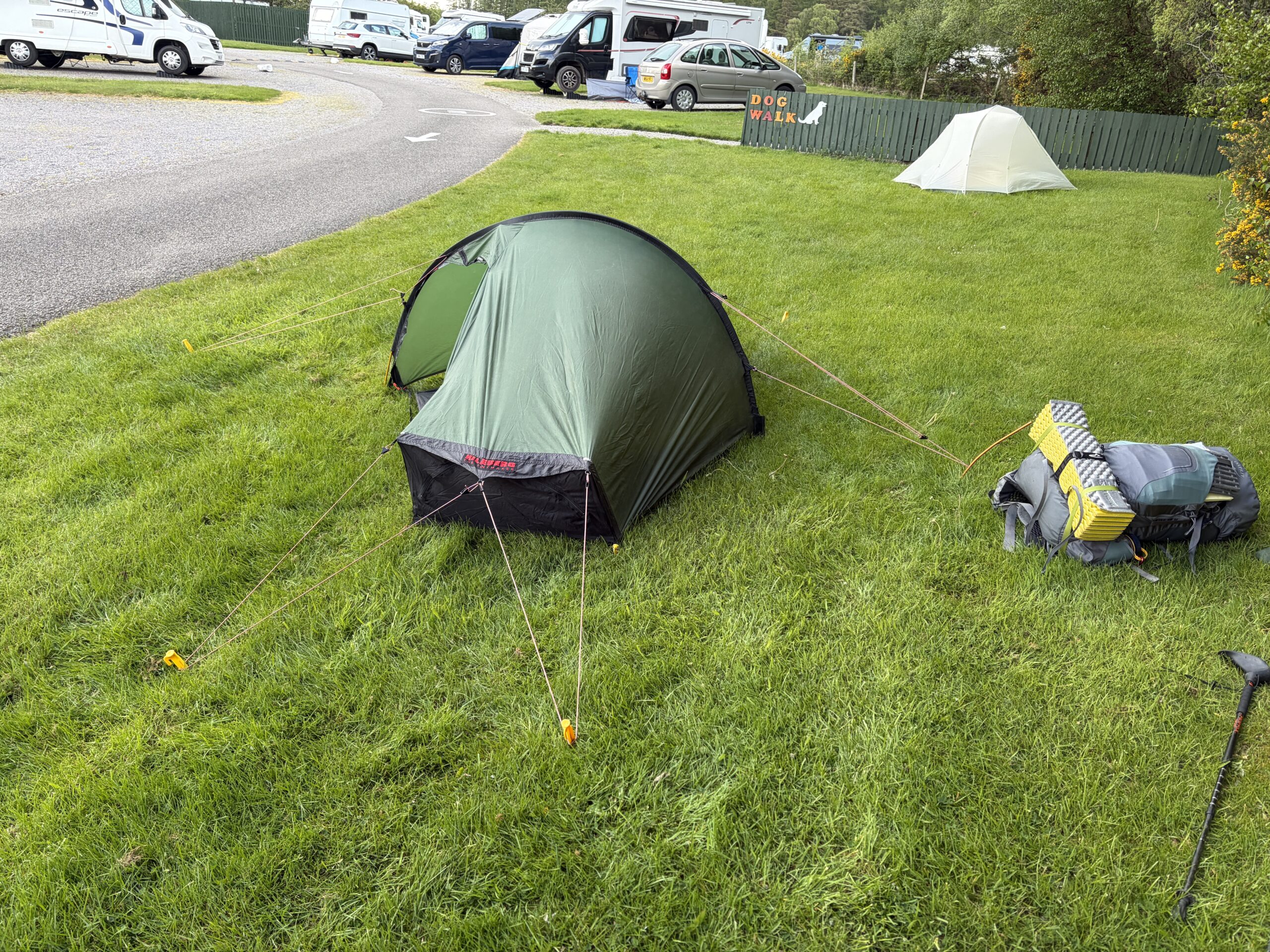
I stayed in a “caravan park” near Culloden that’s part of a chain of van-and-trailer holiday destinations around Britain. This one had 84 places for vehicles and six spots for tents. I suspected the white tent in the distance was occupied by a Challenger. I didn’t see him, but I met him later.
It rained on and off during the night, and I packed the tent up wet, which adds weight.
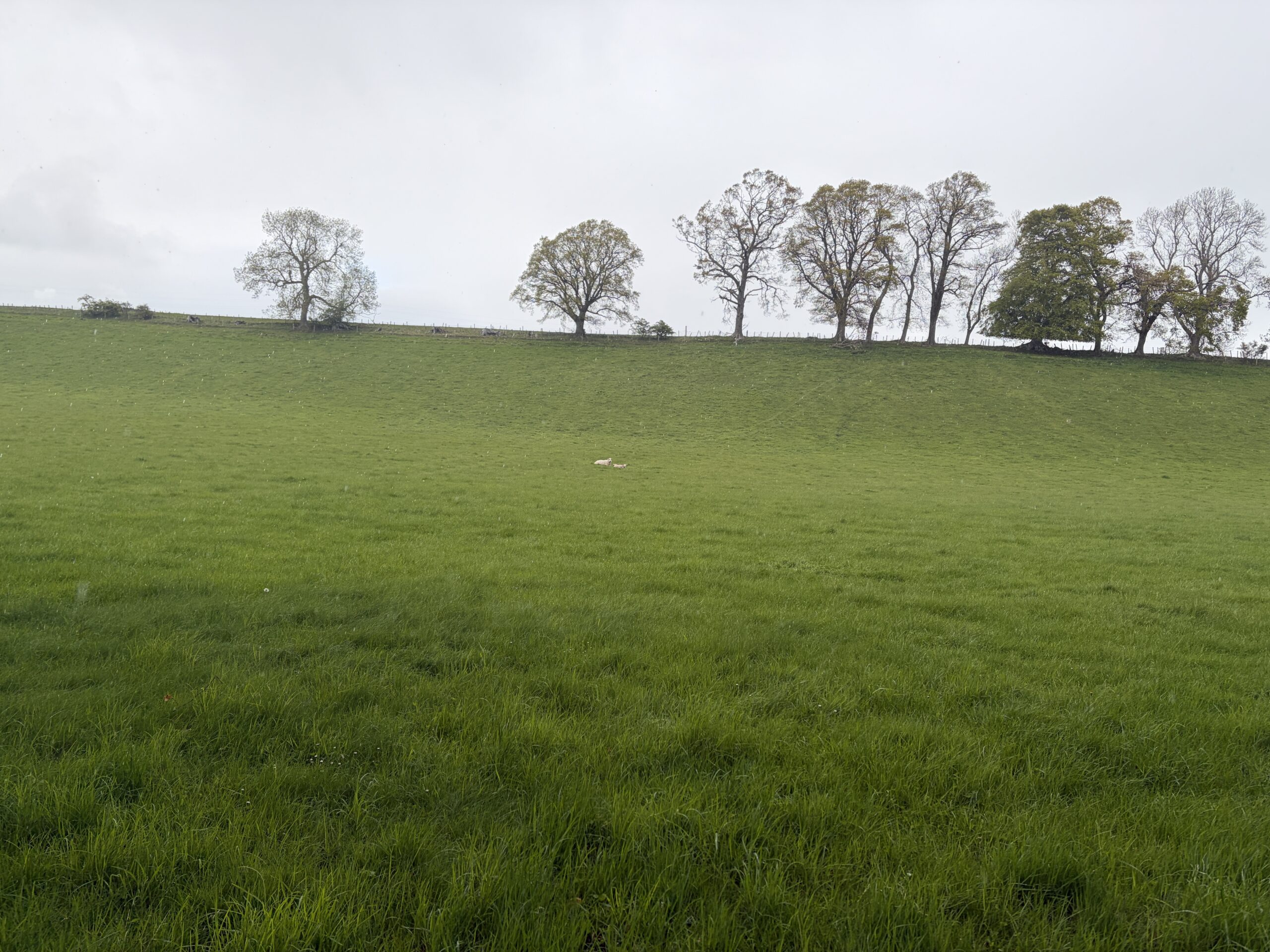
Here’s a portrait of May in Scotland–a ewe and her lamb, lying in a lush field in the rain.
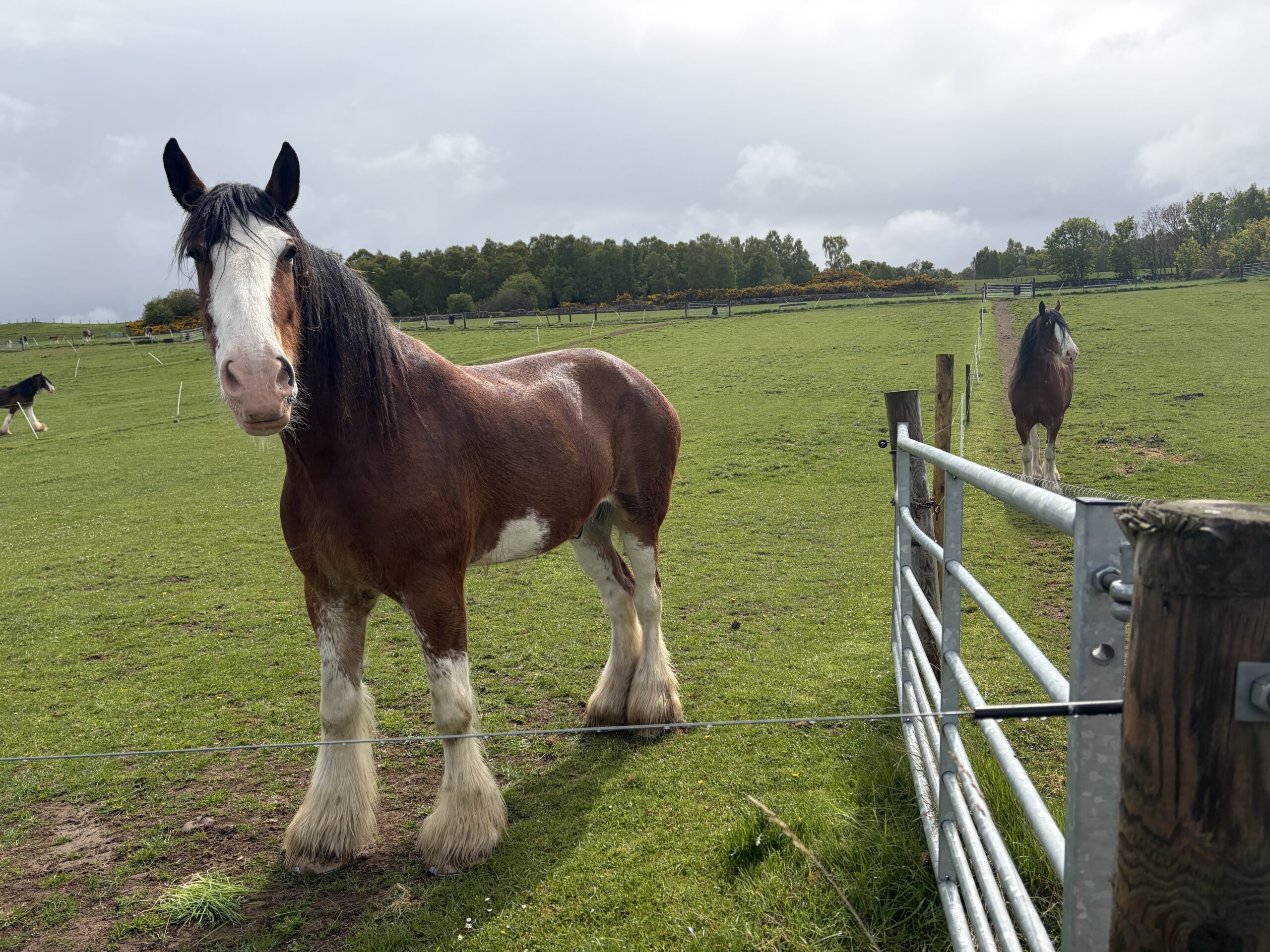
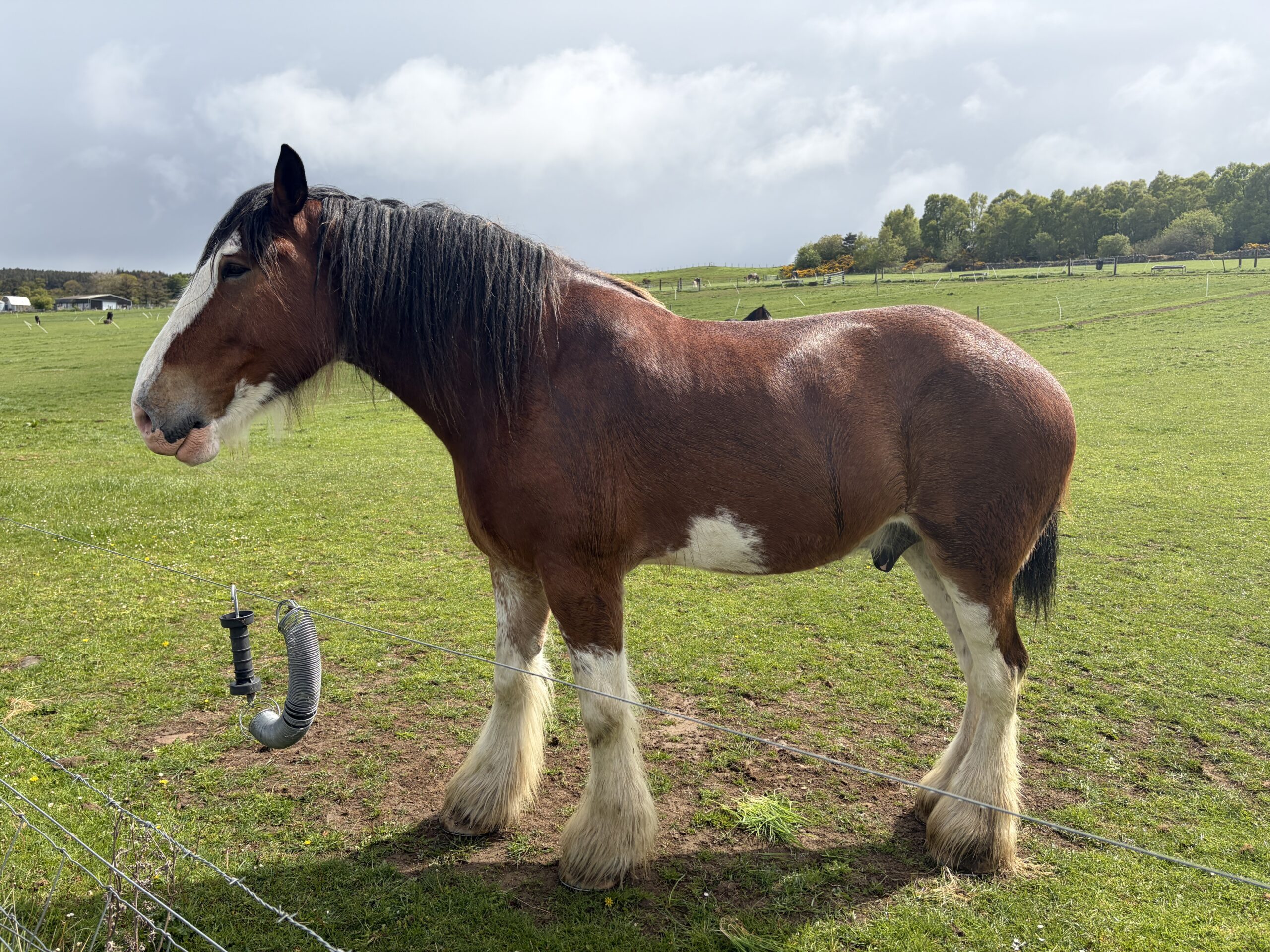
I walked through a farm with a herd of Clydesdale horses. I’m not sure what they’re used for now, but they’re a handsome tribute to selective breeding.
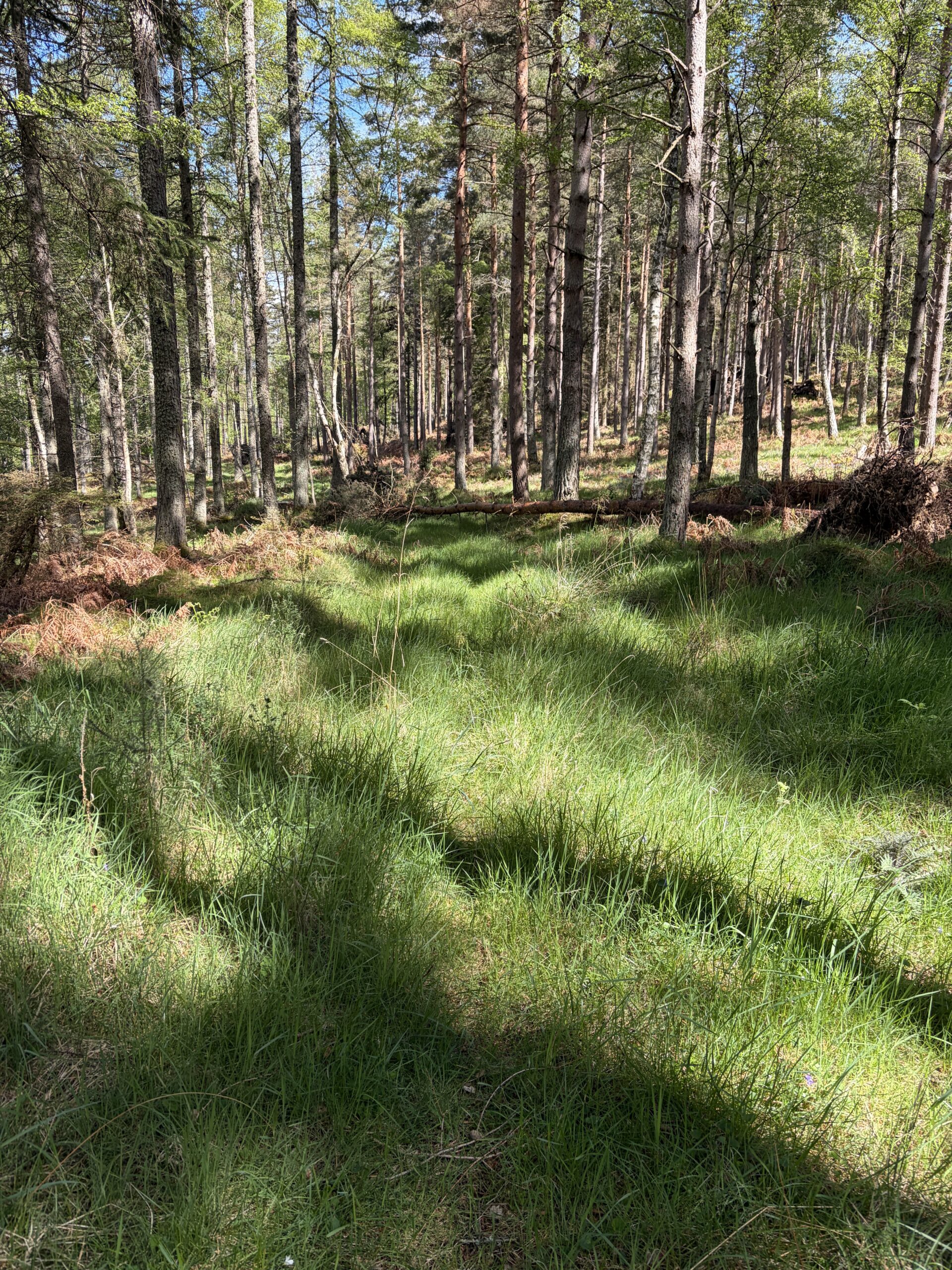
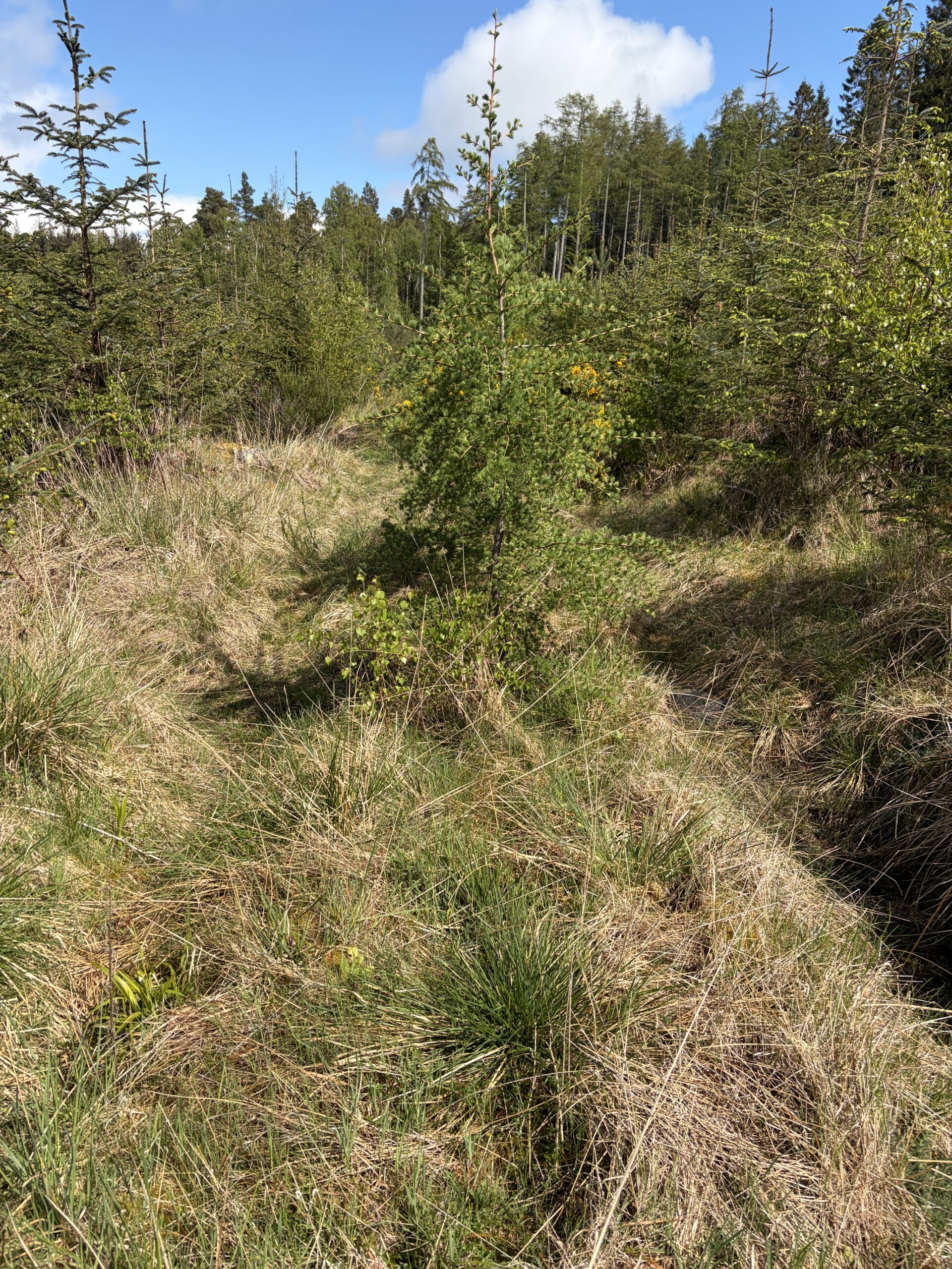
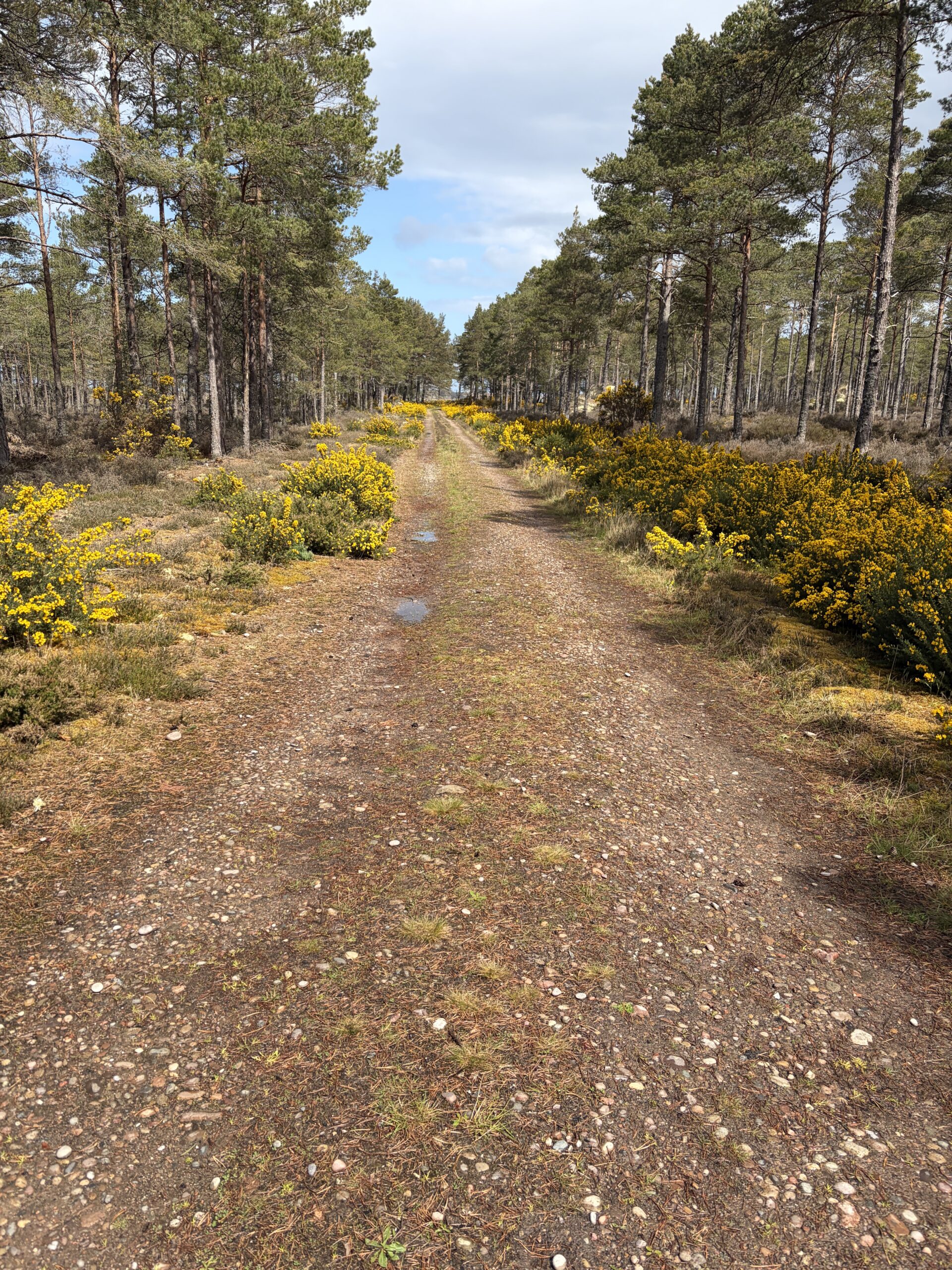
My route took me through the woods much of the day, following grown-over roads.
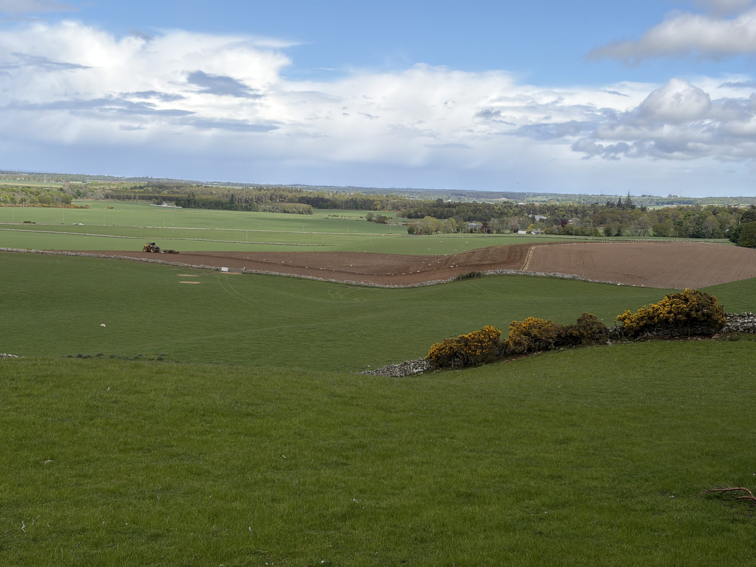
A tractor plowed a field, followed by a flock of seagulls dining on things turned up.
The rain came and went through the day, never hard and never far off. It’s about to start again.
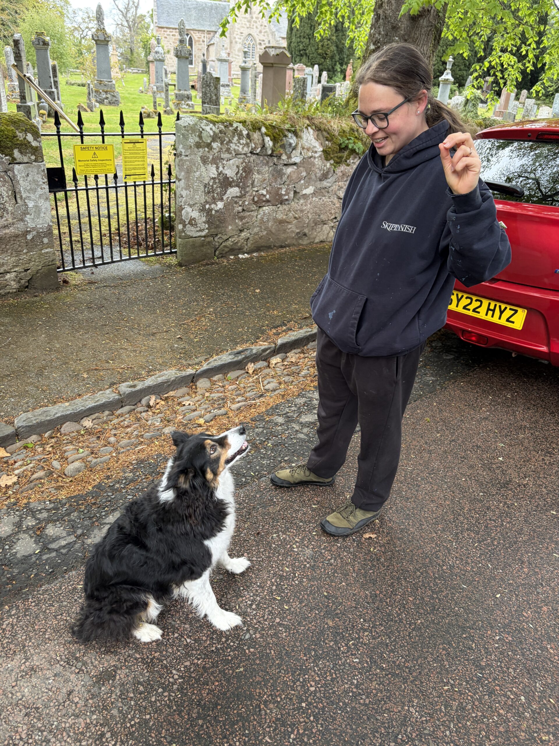
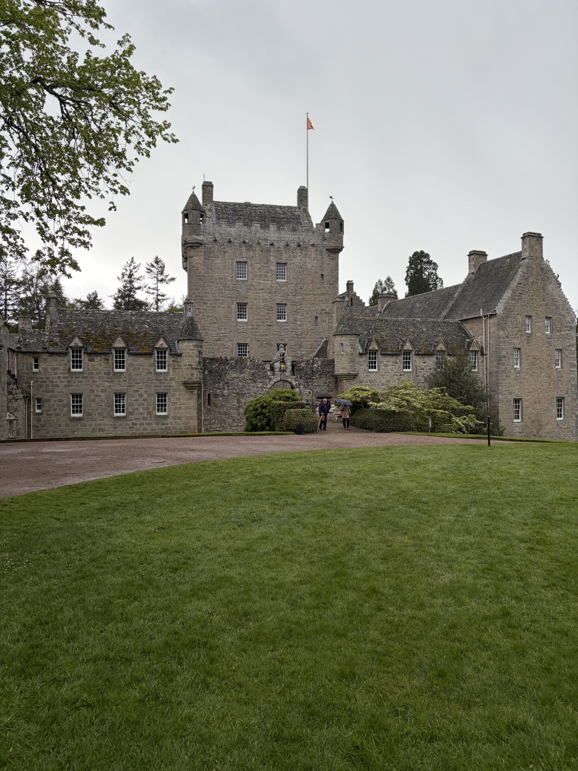
An interim destination on my way to the coastal town of Nairn was Cawdor Castle. As I entered the village of Cawdor I met Sinead and her border collie Ellie.
Ellie was given away by a farmer because she was scared of sheep. She had a standoff with one from 30 feet away, turned tail and hid under a car. Kind of like a “Ferdinand the Bull” of herding dogs.
This part of Scotland has several places mentioned in Shakespeare’s “Macbeth”–Forres (where he meets the three witches), as well as Inverness Castle and Cawdor Castle. As Thane of Cawdor, Macbeth might have lived in the latter–except that the historical Macbeth wasn’t the thane and the castle wasn’t built until centuries after his death.
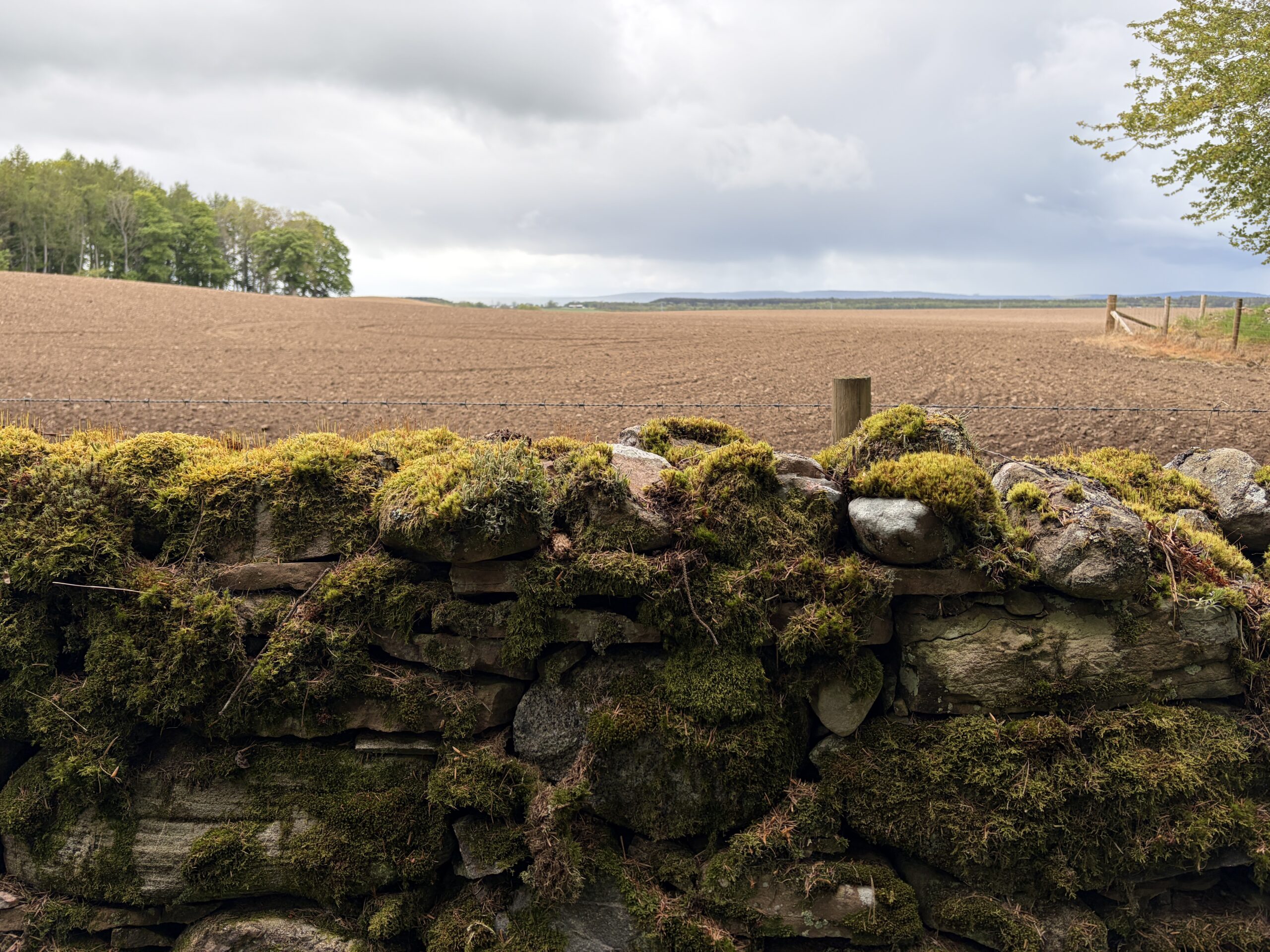
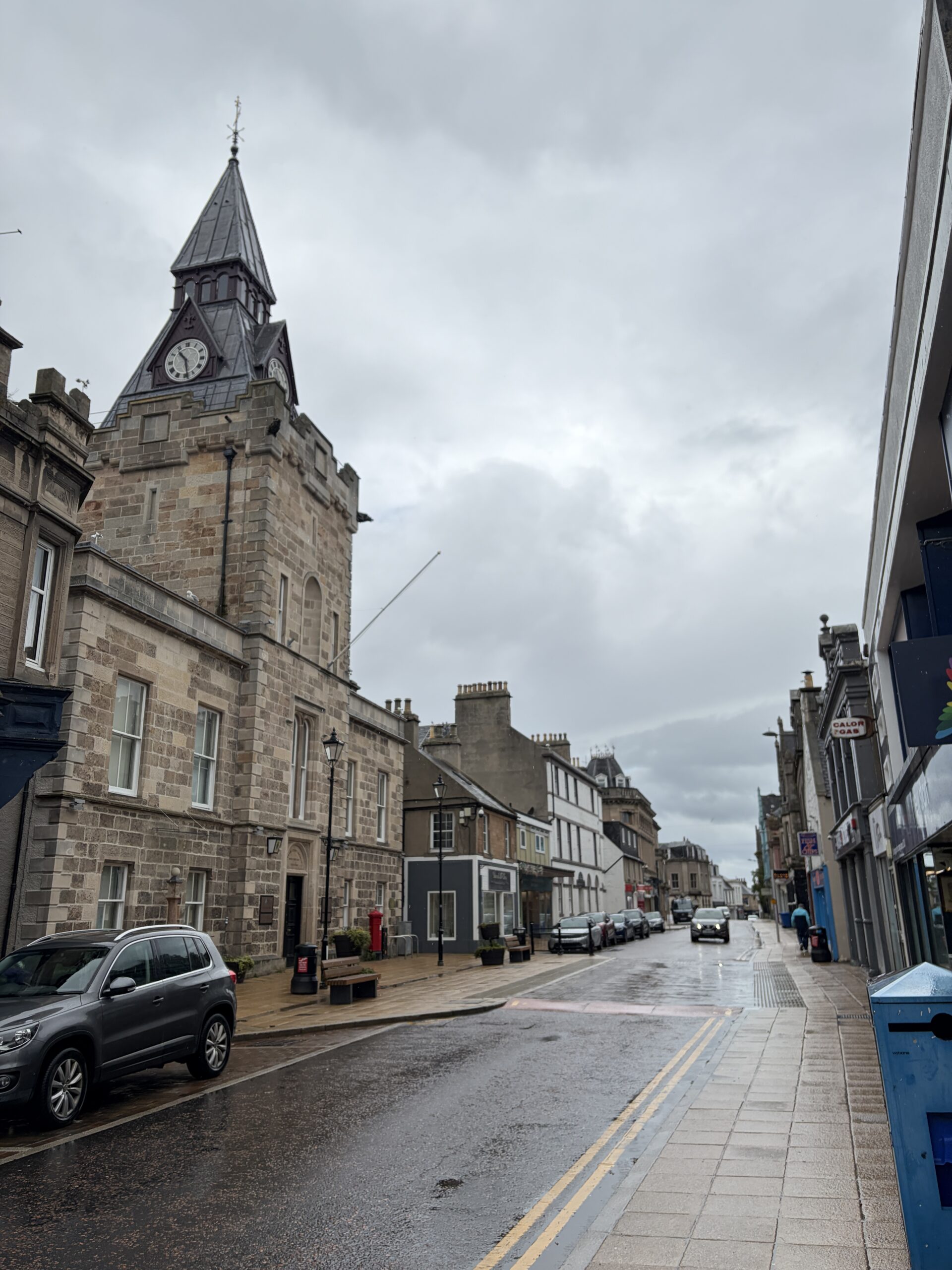
My plan was to camp on the far side of Nairn in the dunes, but I was wet, cold, and tired, and looked around for a place to stay. Like most of the old towns in this part of Scotland, the buildings are of sandstone, made to last.
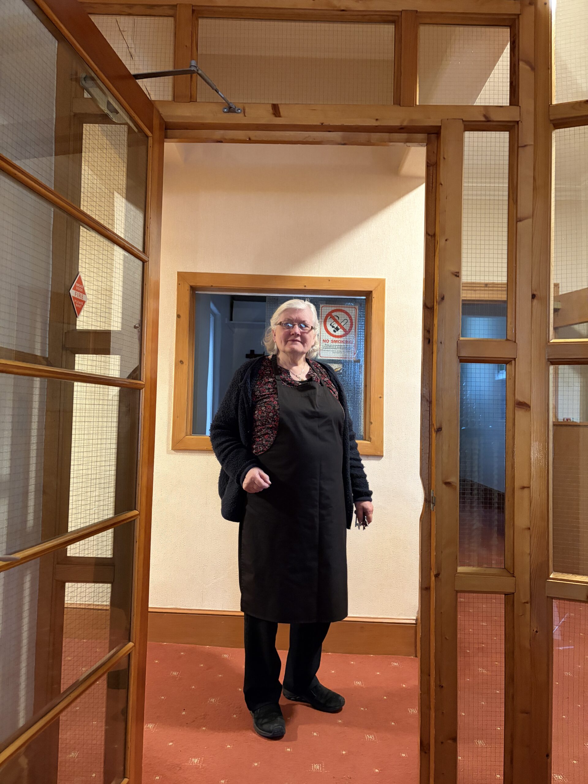
I found a room in a place called the Waverley Hotel–nine rooms, run by a friendly woman named Denise. She’s had it for decades and is about to pass it on to her daughter.
“The only problem is my daughter lives in Switzerland and has been there for 29 years,” she said.
“It sounds like she might not be coming back to take it over,” I said.
“I don’t think so either,” Denise said. And then in sotto vocce: “And I don’t blame her.”
I had a warm and dry night inside, with a shower particularly welcome. I had dinner down the street at a Tandoori restaurant. Nairn has several Indian restaurants. In my experience, in any Scottish town big enough to have three restaurants, one of them will be Indian.
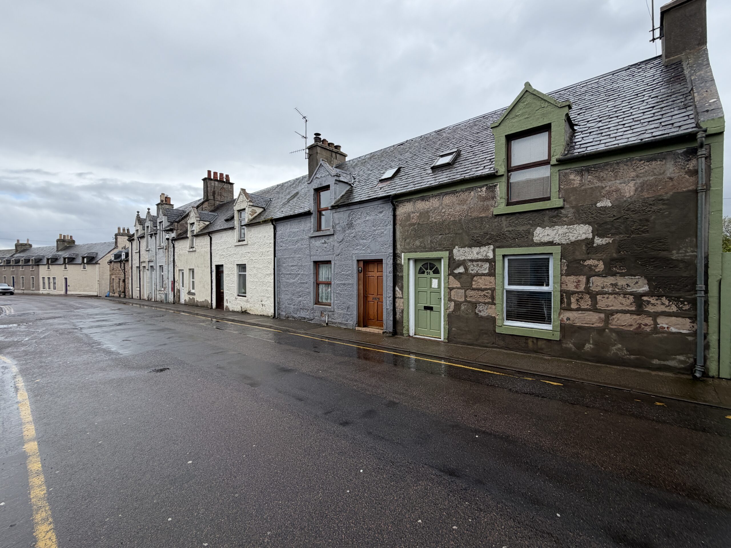
This is one of the streets I walked down the next morning, in a drizzle of course. I guess you could call them row houses, but they’re distant cousins to Baltimore’s.
It was too windy and cold to walk along the beach beyond Nairn, so I took an inland path through a forest. Eventually the sun came out.
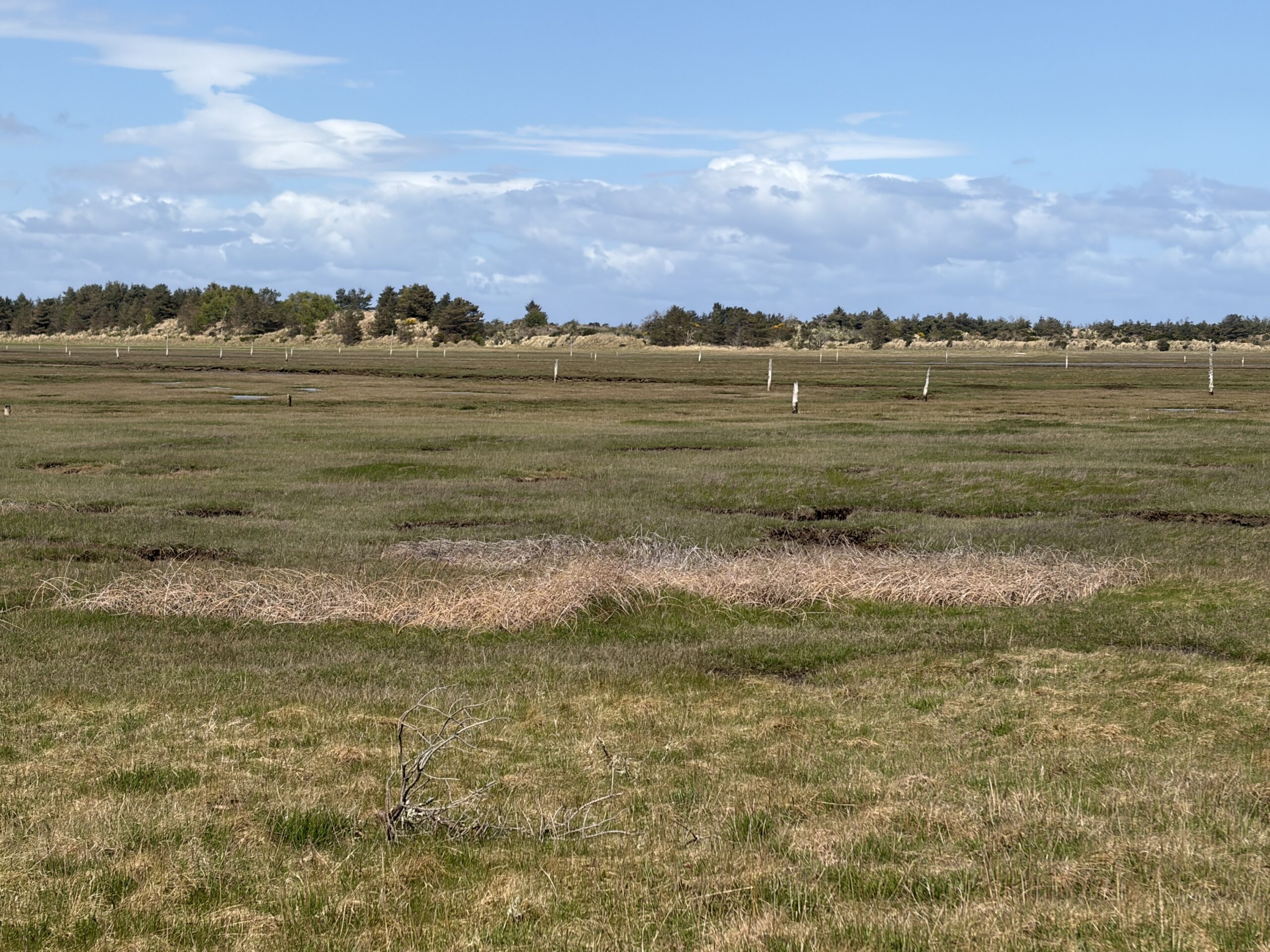
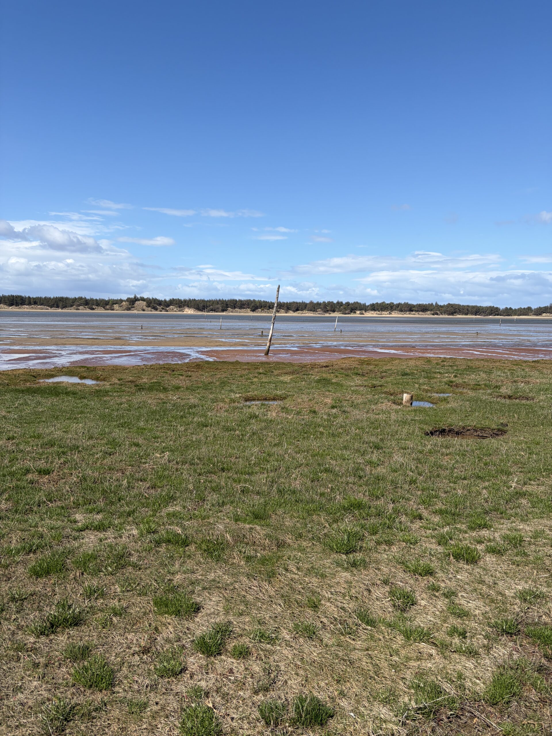
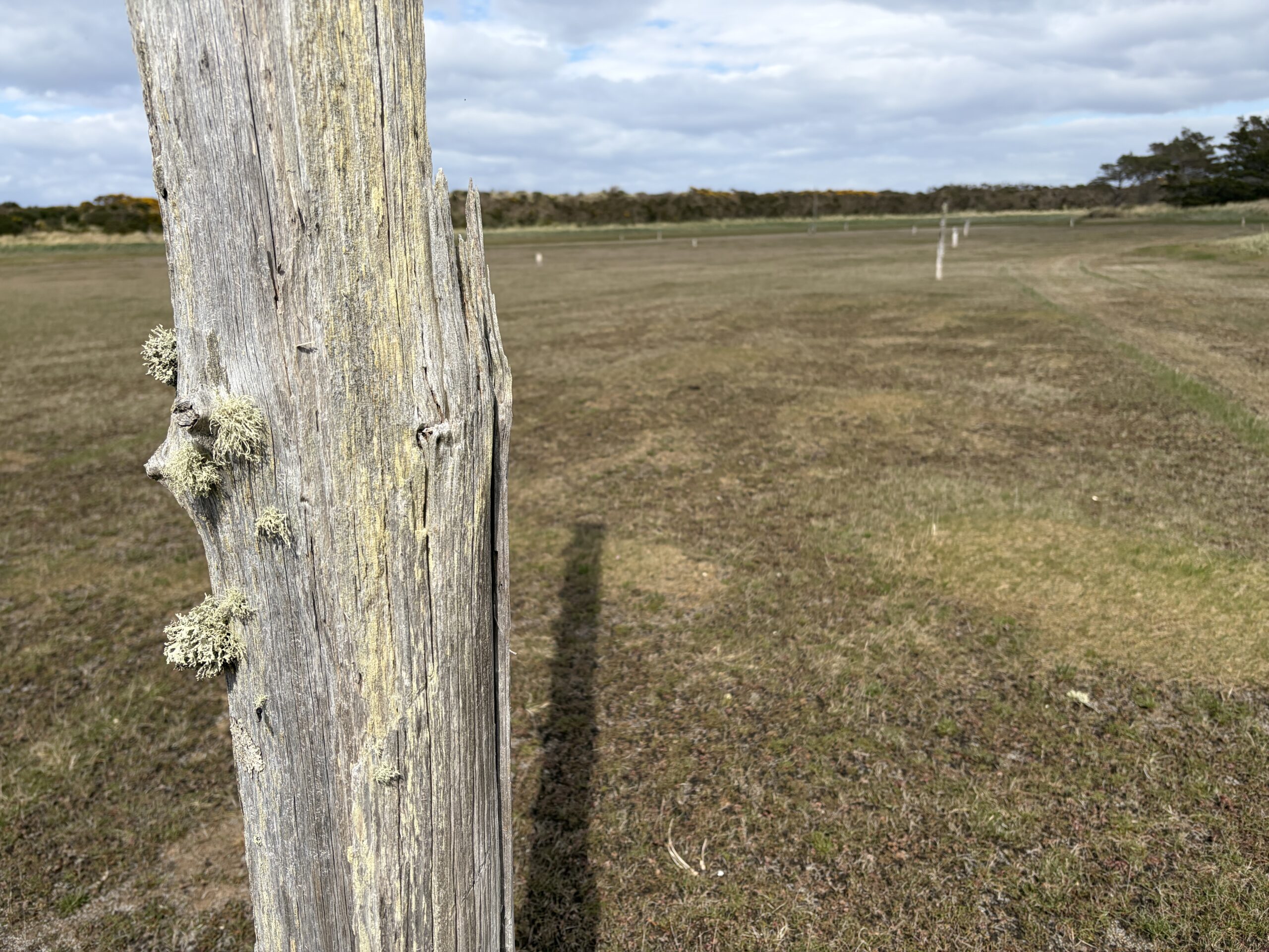
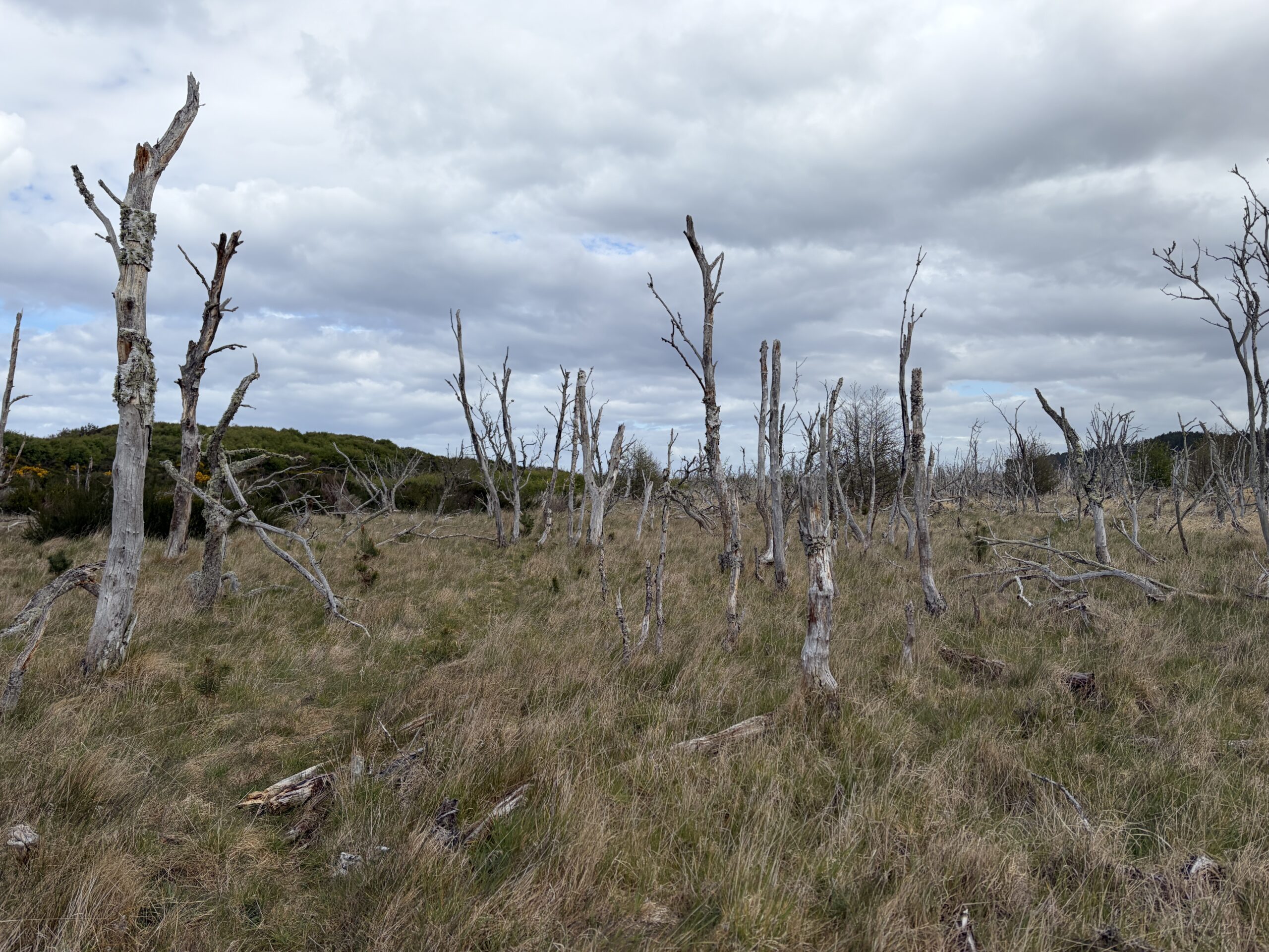
The area between Nairn and the mouth of the River Findhorn is called the Culbin Sands, a nature preserve.
It is a massive beach with a long peninsular beach offshore that’s halfway to becoming a barrier island. On the landward side are peat marshes, and over many miles one can see the remains of poles set in the marsh and tilted in an offshore direction. They are defenses from World War II designed to snag gliders in an invasion from Nazi-held Norway. The invasion never came, of course.
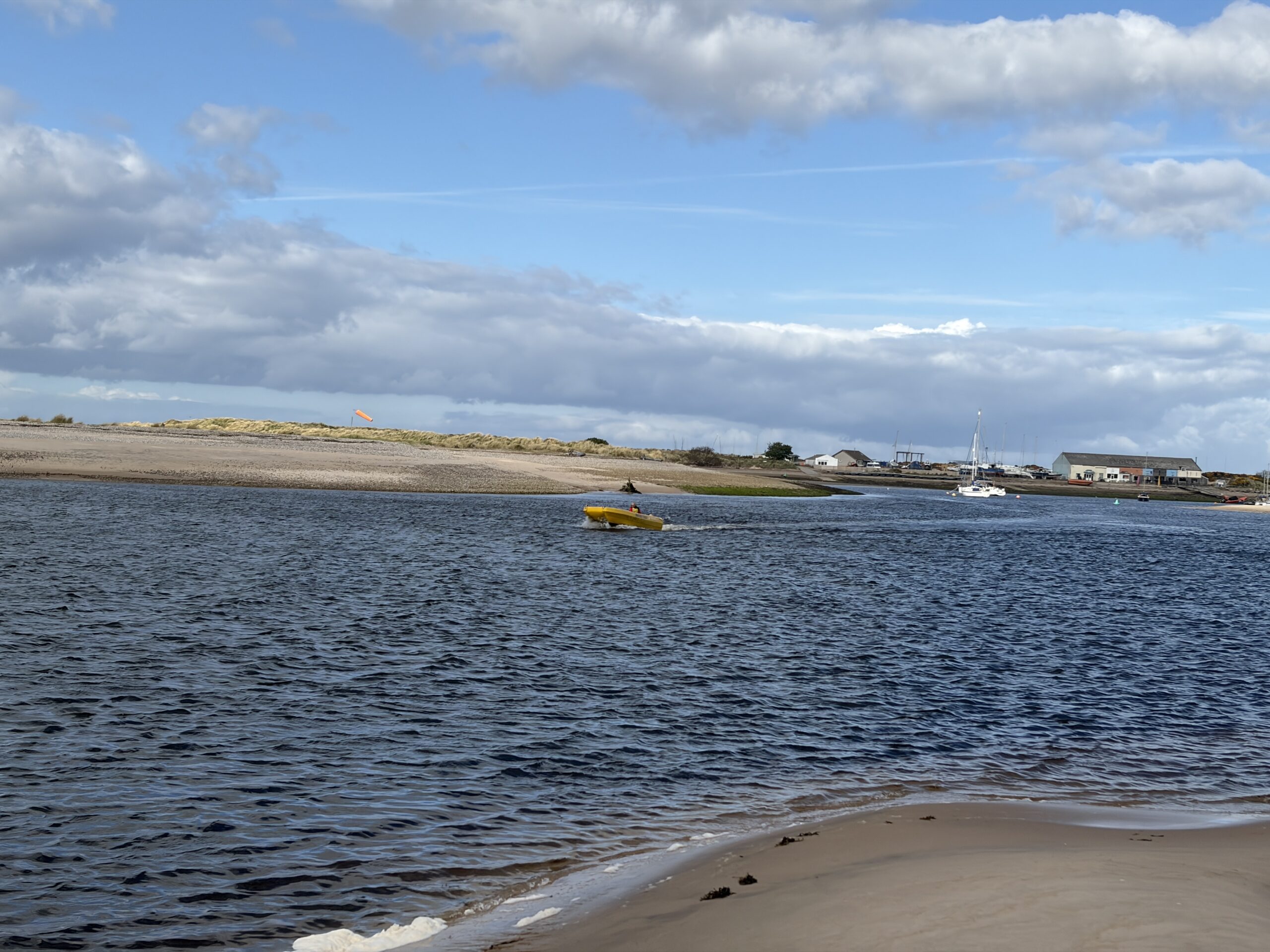
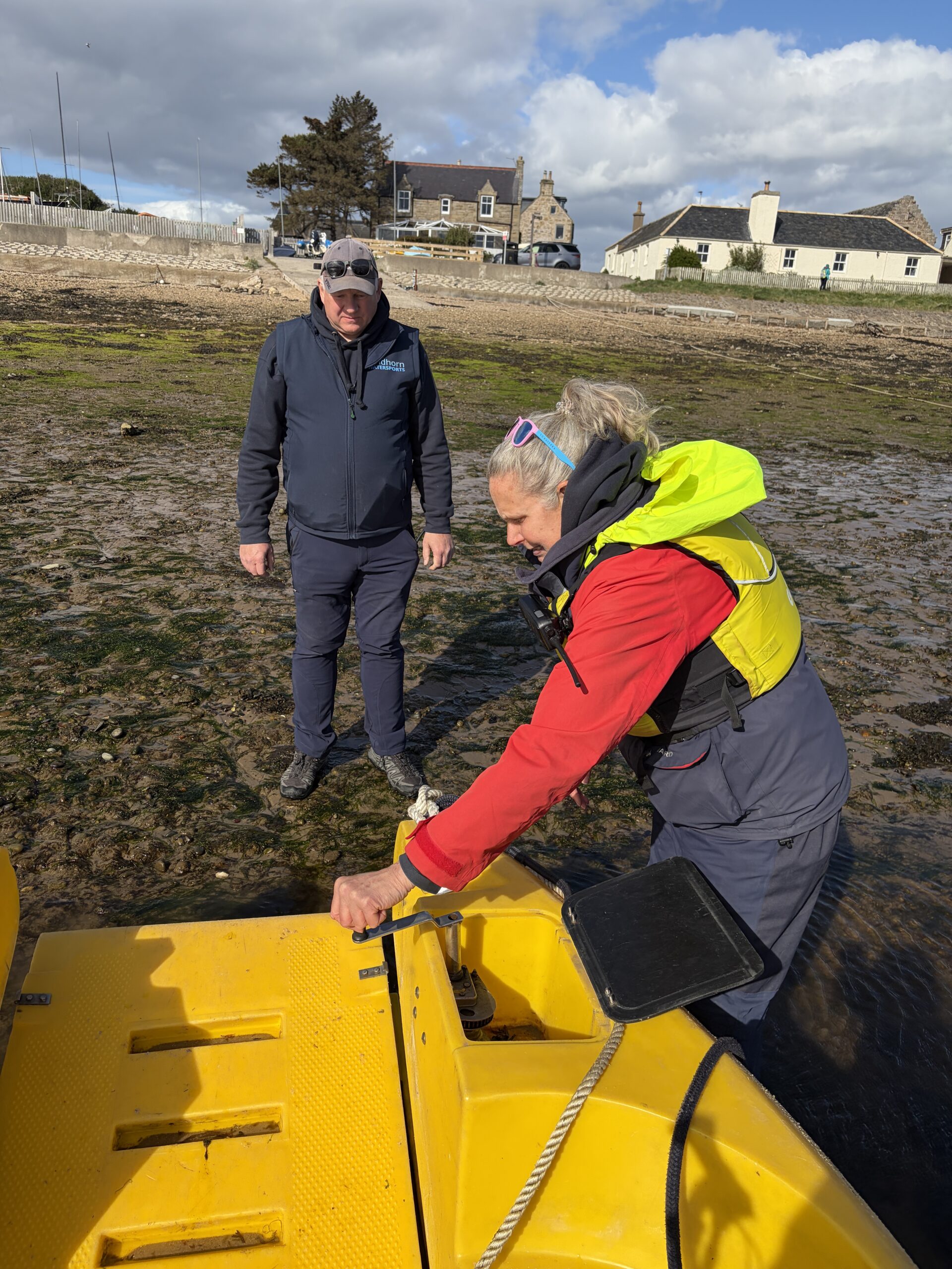
I was on a punishing schedule. Crossing the River Findhorn where it empties into the Moray Firth requires either walking upriver about four miles to a bridge, or taking a water taxi across Findhorn Bay. The latter is offered by a woman named Jane Morrison, who with her husband runs a sailing school and water sports center. You set a time and she picks you up, 4.30 pm being the last appointment (she hopes).
I had to walk fast and not get lost to make that hour. I stopped to eat some naan left over from the night before, but otherwise it was cracking on the whole day.
In places the path was barely discernible as it wound from dune to drowned woods to forest. I don’t think I could have followed it without a plotted GPS signal to help me.
I emerged from the woods on the banks of the Findhorn at 4.15 pm, but of course didn’t know where the pickup spot was. I texted Jane. She sent me the coordinates, which I was able to put on the digital map as a waypoint (to my amazement; such tasks usually take hours).
I had to walk downriver toward the mouth almost a mile. I sat on a dune and she appeared. We crossed at 5 o’clock.
“We wouldn’t have left you,” she said as I apologized for being late. She’d made two trips that day for Challengers, and had another one booked for tomorrow.
Her husband Neil took me up to the office, where I paid the fare and he pointed the way out of town.
I could camp at a nature preserve in Findhorn, but I had 17 miles to go the next day to get to an Airbnb in the town of Lossiemouth (which was the site of an aerodrome in World War II and still has an active Air Force detachment). I knew from the experience of a few days earlier that 17 miles was a few miles too many for me to walk in a day. I reluctantly left Findhorn and kept walking east to get a head start.
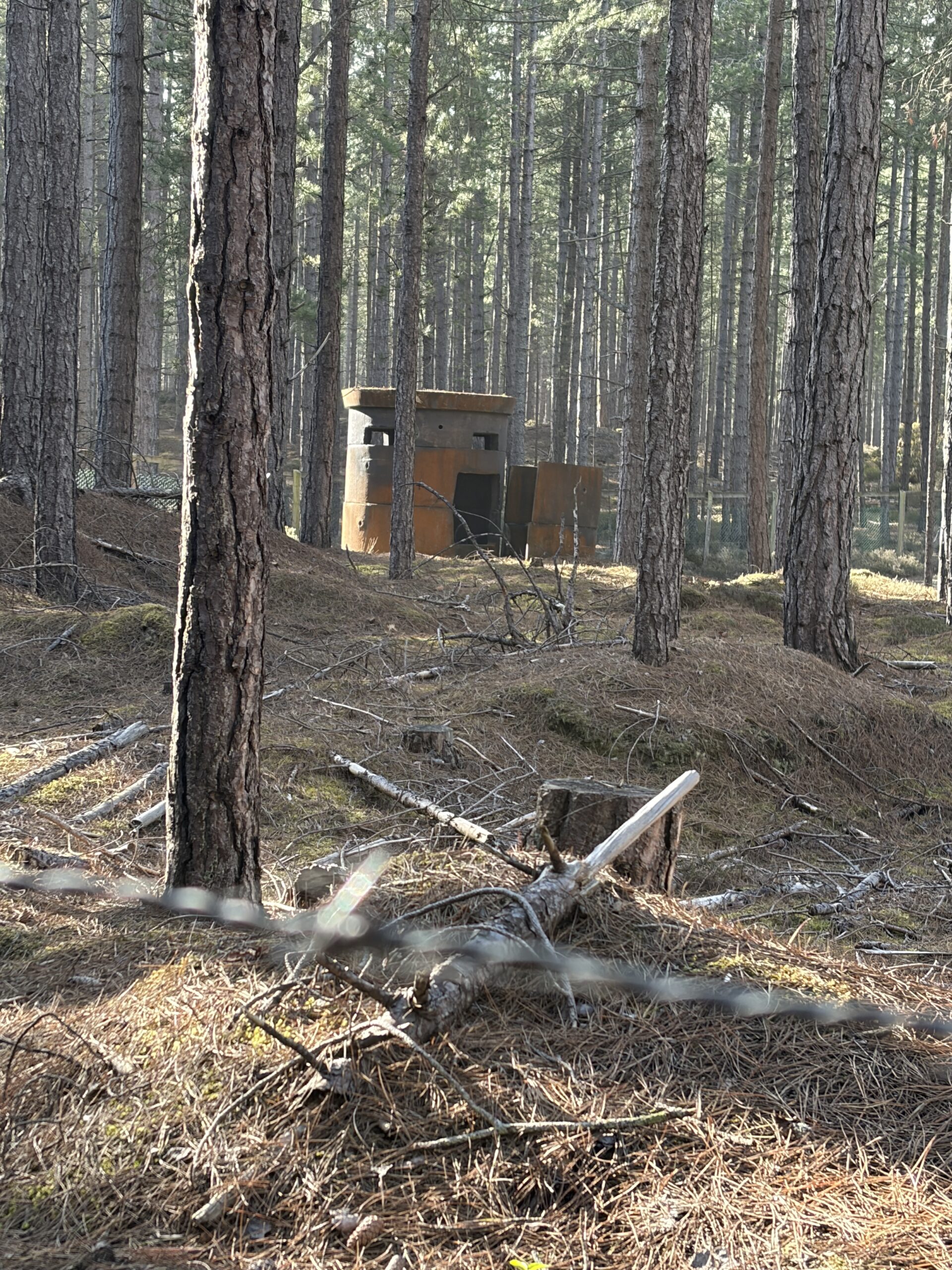
It had been unusually windy all day, but at least it wasn’t raining, About 2.5 miles out I found a decent spot to pitch the tent, somewhat protected by the ancient dunes.
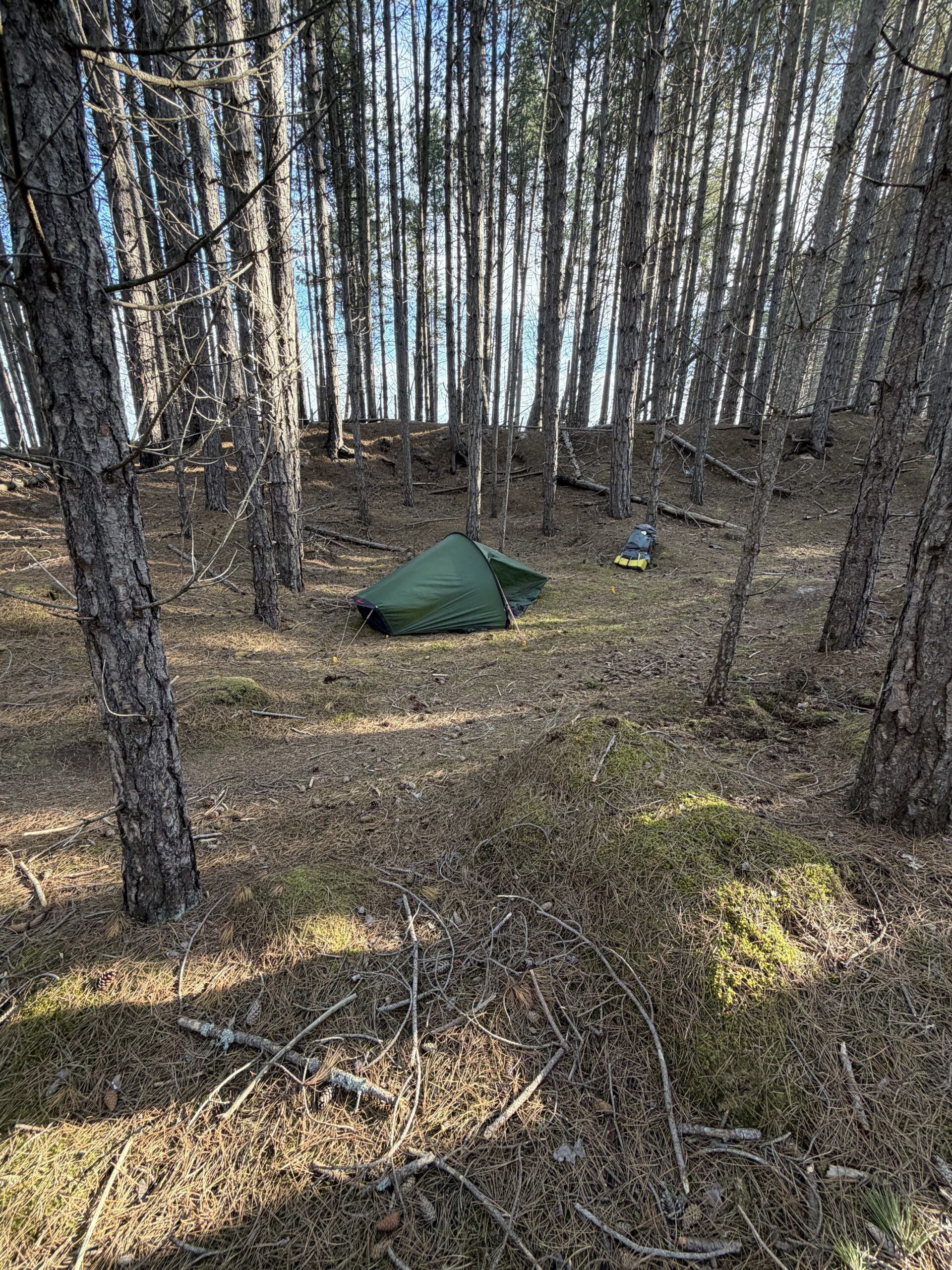
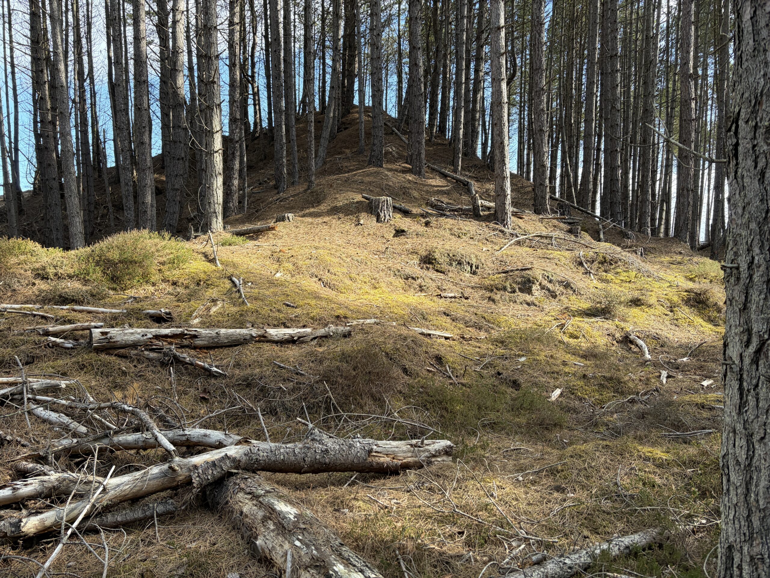
And, it turns out, by the ghost of a steel pillbox from the war.
I still had a long way to walk the next day, so I got an early start (for me). In a few miles I ran into Paul, an analytical chemist who works for GlaxoSmithKline in Cambridge, England.
We’d walked a couple of hours into Inverness–he taking it slow because he’d sumitted five Munros two days before–and had interesting conversation about lots of stuff, pharmaceutical and not.
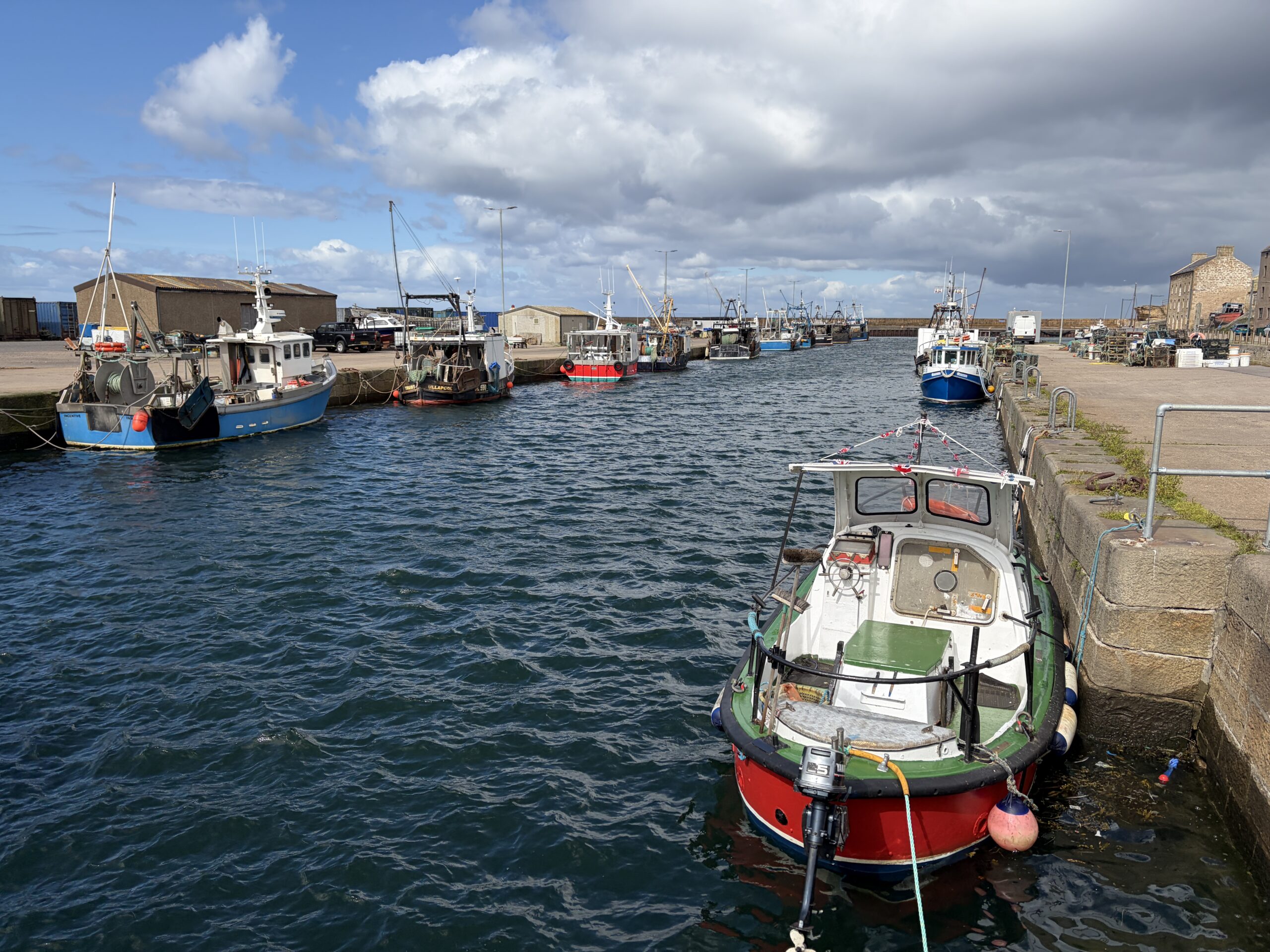
At the town of Burghead there was what appeared to be a small fishing fleet.
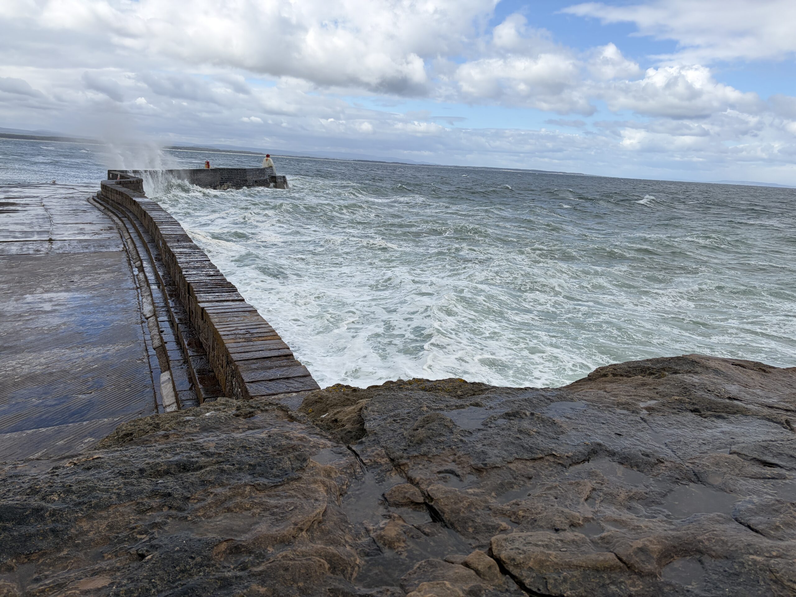
The wind was sending waves crashing into the breakwater. I went out to the end of the land to see the remains of a Pictish fort, but it wasn’t obvious, and the conditions were too cold and windy for exploration.
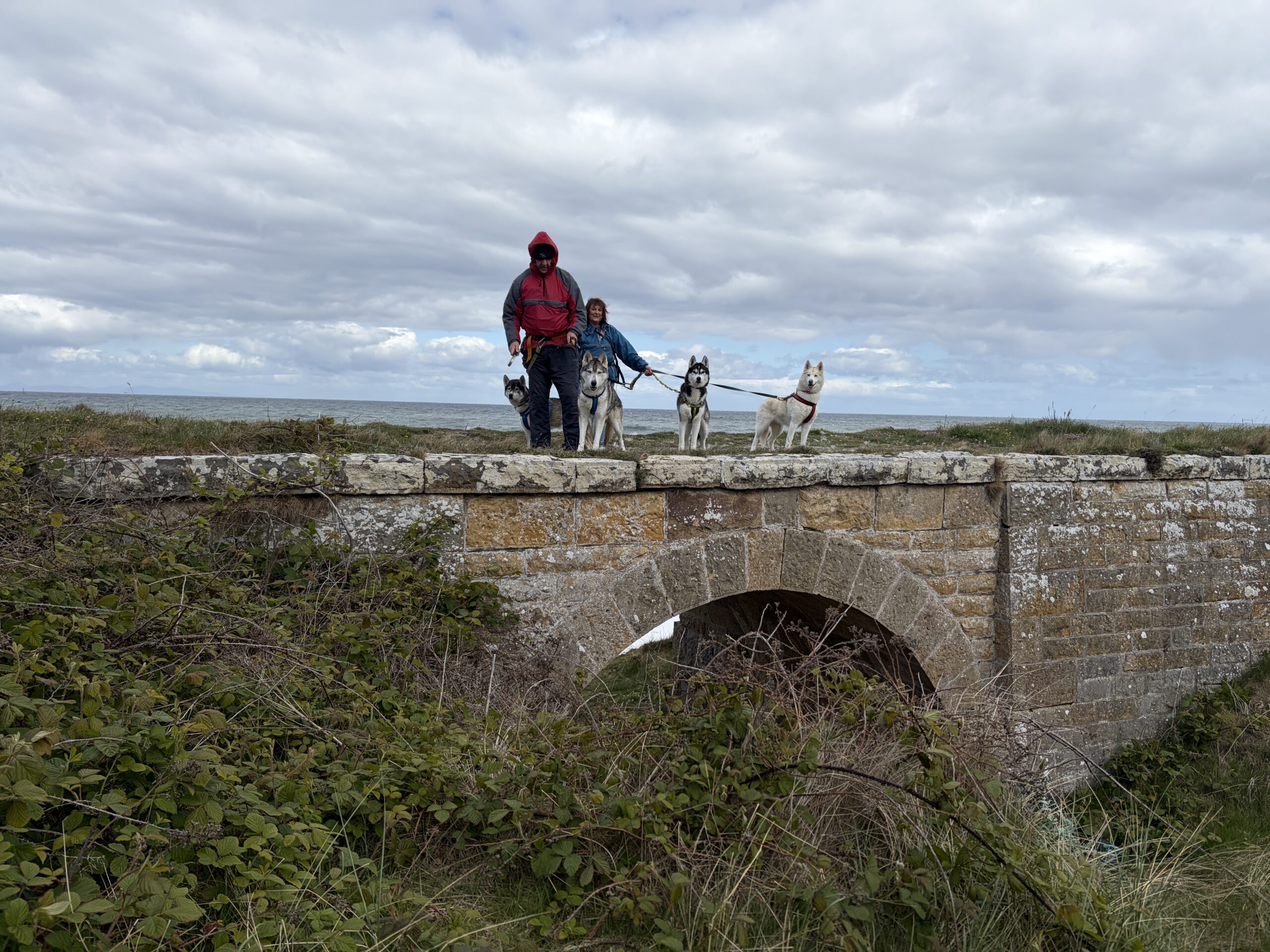
Eastward beyond Burghead I passed two people with four huskies, the first time I’ve seen that breed on this walk.
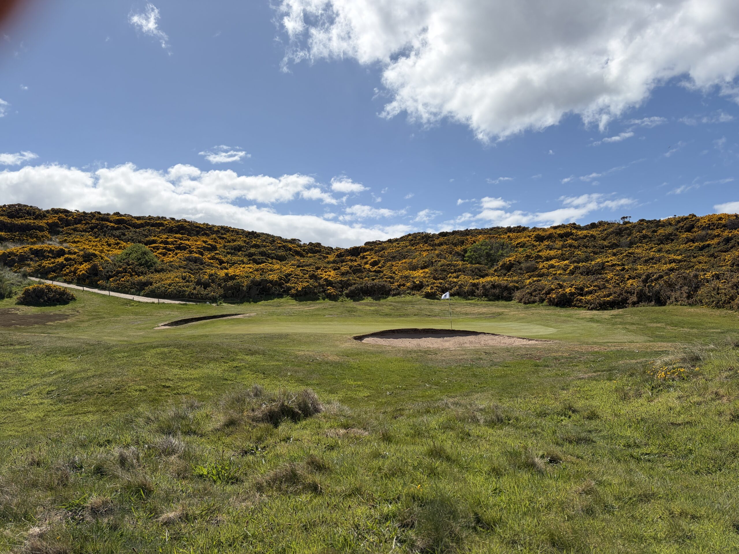
I passed what appeared to be Scotland’s only 1-hole golf course. (I ran into some more holes farther on.)
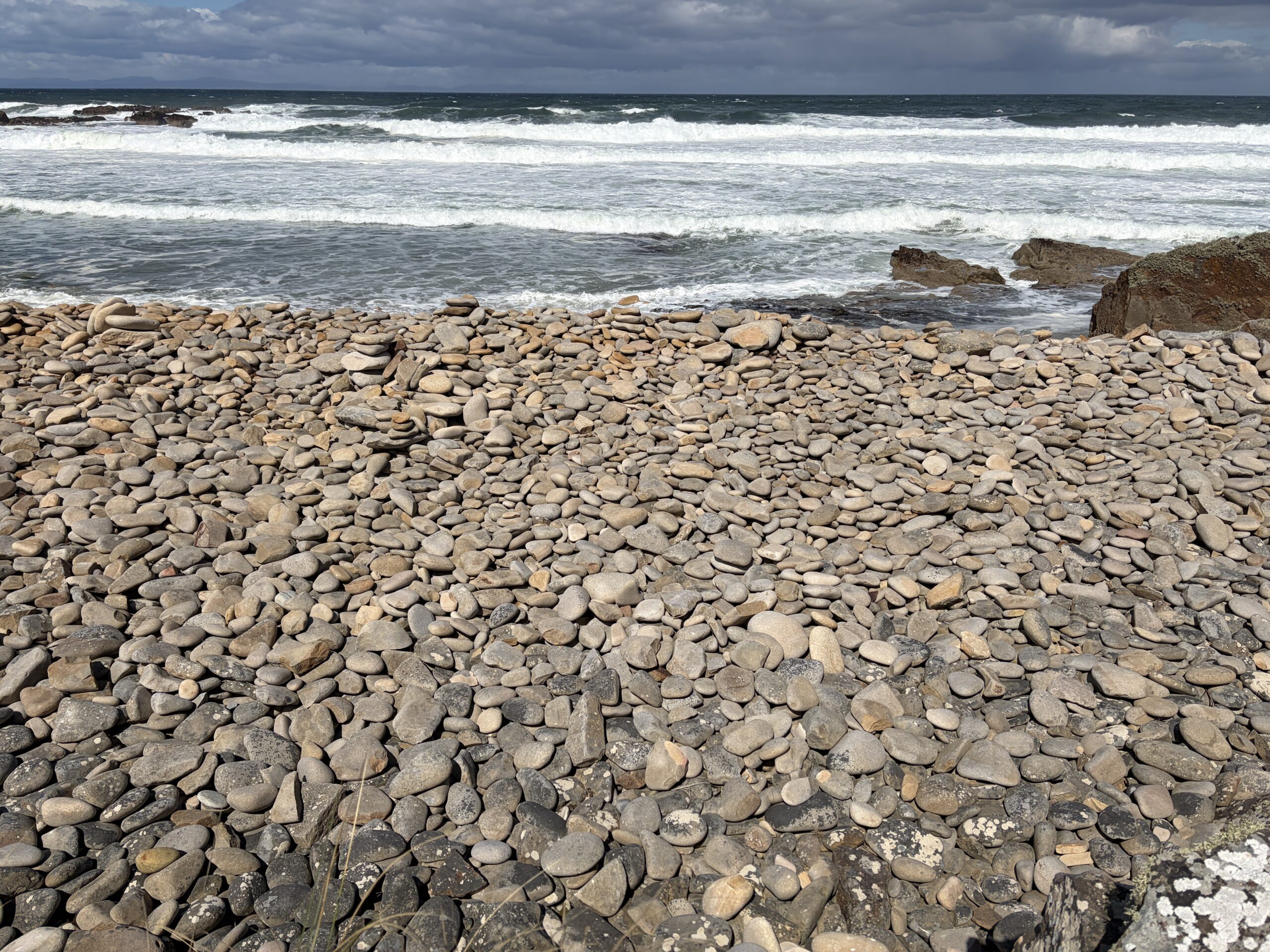
An endless berm of polished stones gave testimony of the power of the sea.
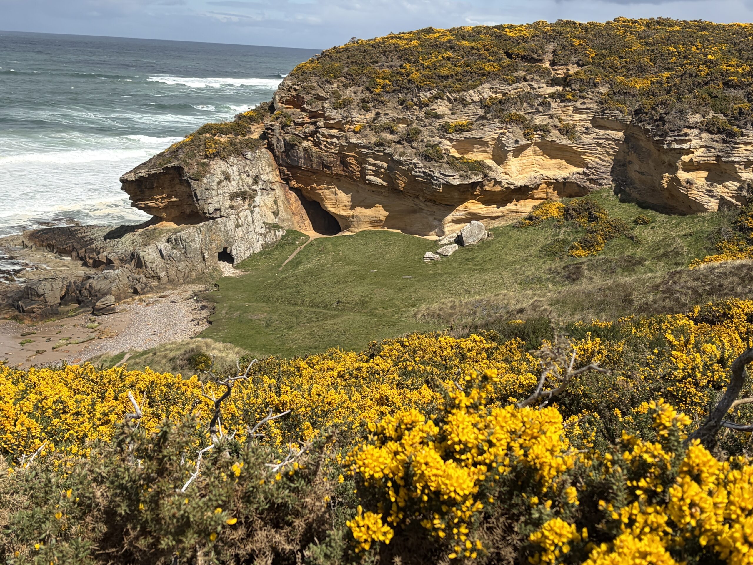
A few caves had been carved in the sandstone shore.
The wind combed the grass on the top of the dunes into a hipster’s haircut.

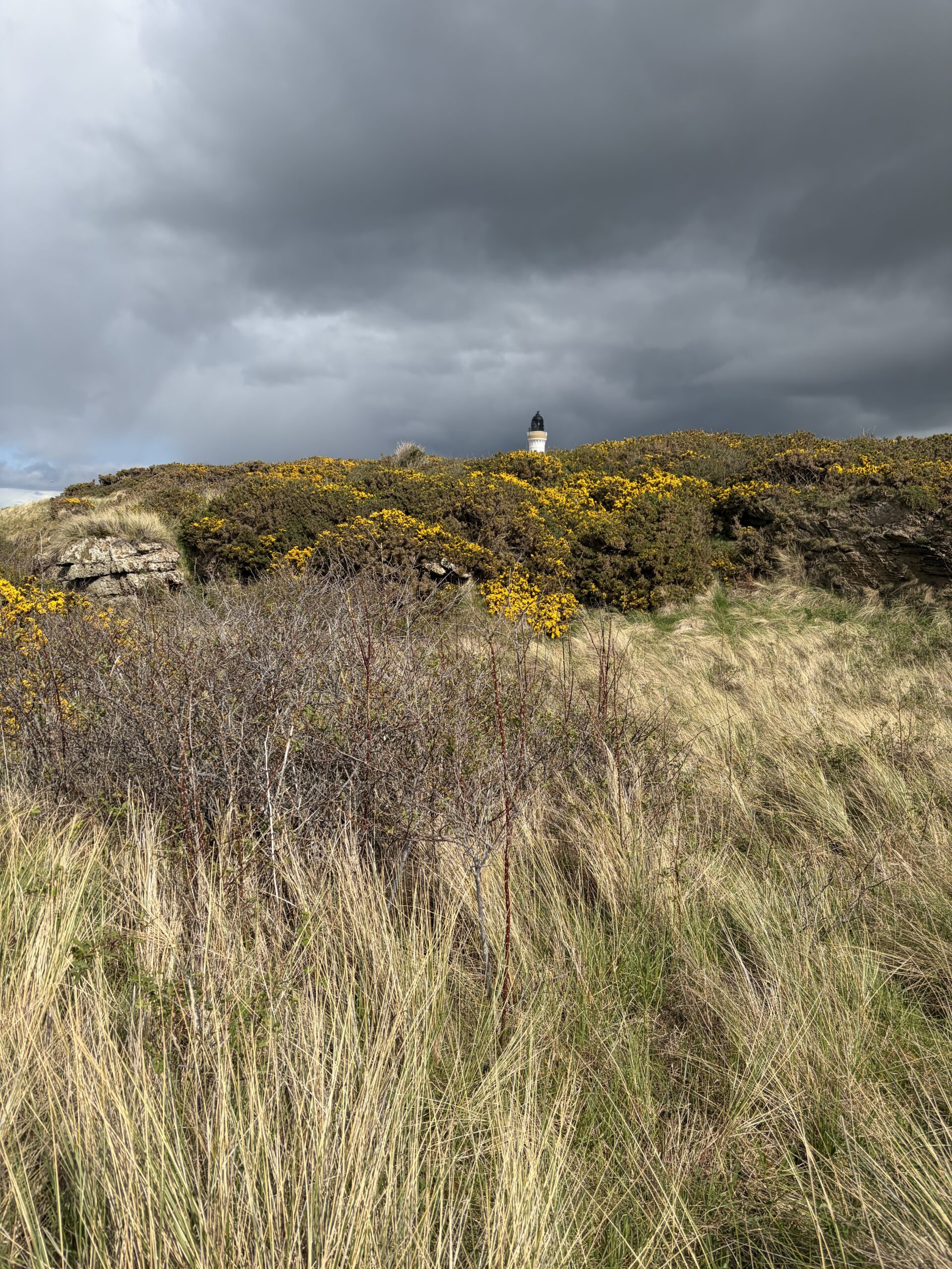
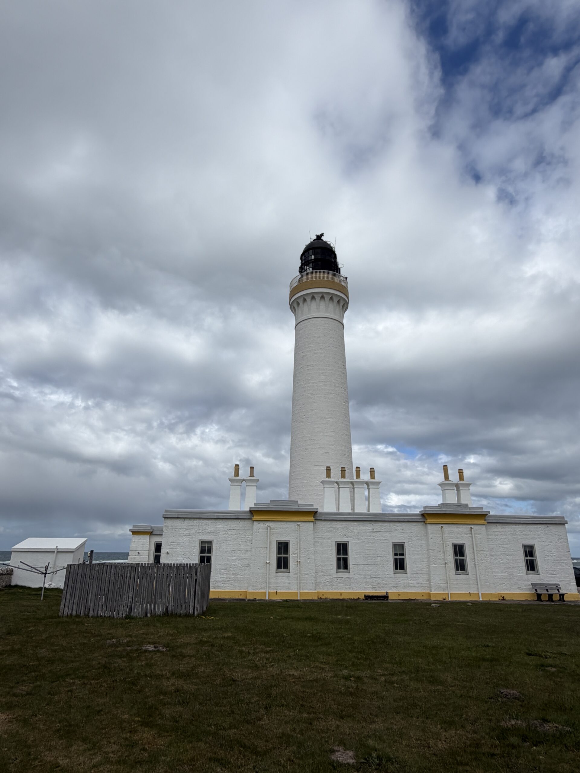
In the distance the Covesea Lighthouse peeked over the grass and gorse.
This is one of about 25 lighthouses designed and built by members of the Stevenson family of engineers between 1797 and 1925. Robert Louis Stevenson was a member of that family, although a writer not an engineer.
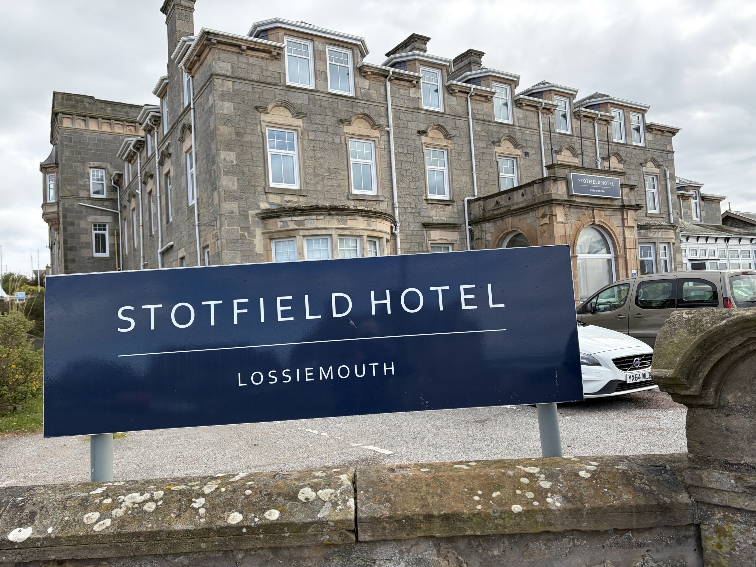
At the western edge of Lossiemouth I walked past the site of the long-gone hamlet of Stotfield. One of the more shocking of the Moray Coast’s many maritime disasters happened there.
On December 25, 1806, the village’s three boats–two-masted sail boats also fitted for rowing known as “scaffies”–put out for a day of fishing. (That it was Christmas attests to how little that was a holiday in the austere Presbyterianism of the time.) Around noon the temperature dropped from 50 to 39 degrees Fahrenheit, a fierce southwest wind blew up, driving the boats away from the land. They were never seen again.
Twenty-one men and boys were lost. Stotfield was left with 17 widows, 42 children, and a few old men.
The Aberdeen newspaper reported later that 190 pounds had been raised in 18 parishes for support of the survivors of the Stotfield disaster and of three other boats from nearby villages that disappeared in the same storm.
I eventually made it to my Airbnb rental, which was in a former dairy built in 1620, the year the Pilgrims landed in Plymouth, Massachusetts.
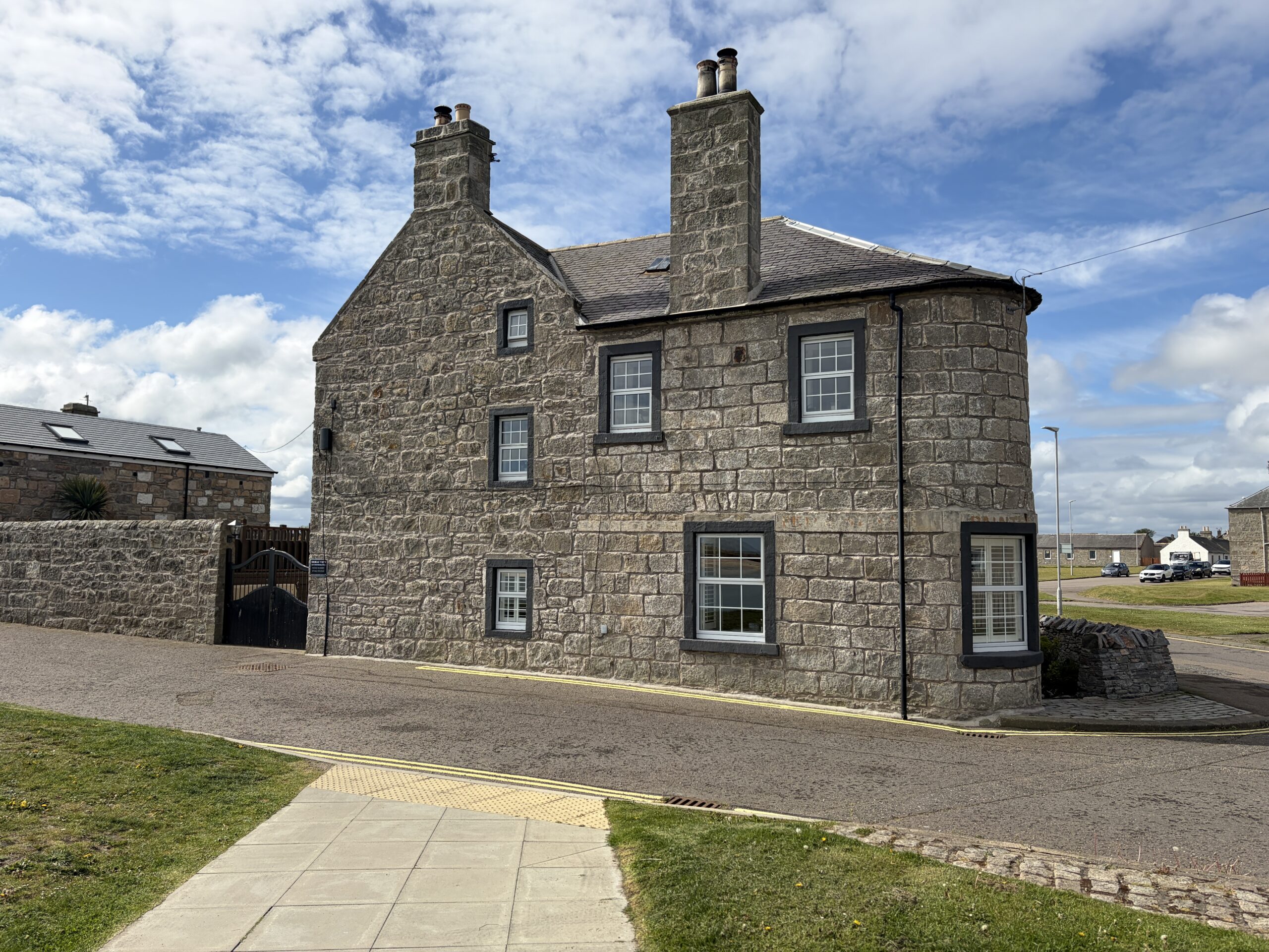
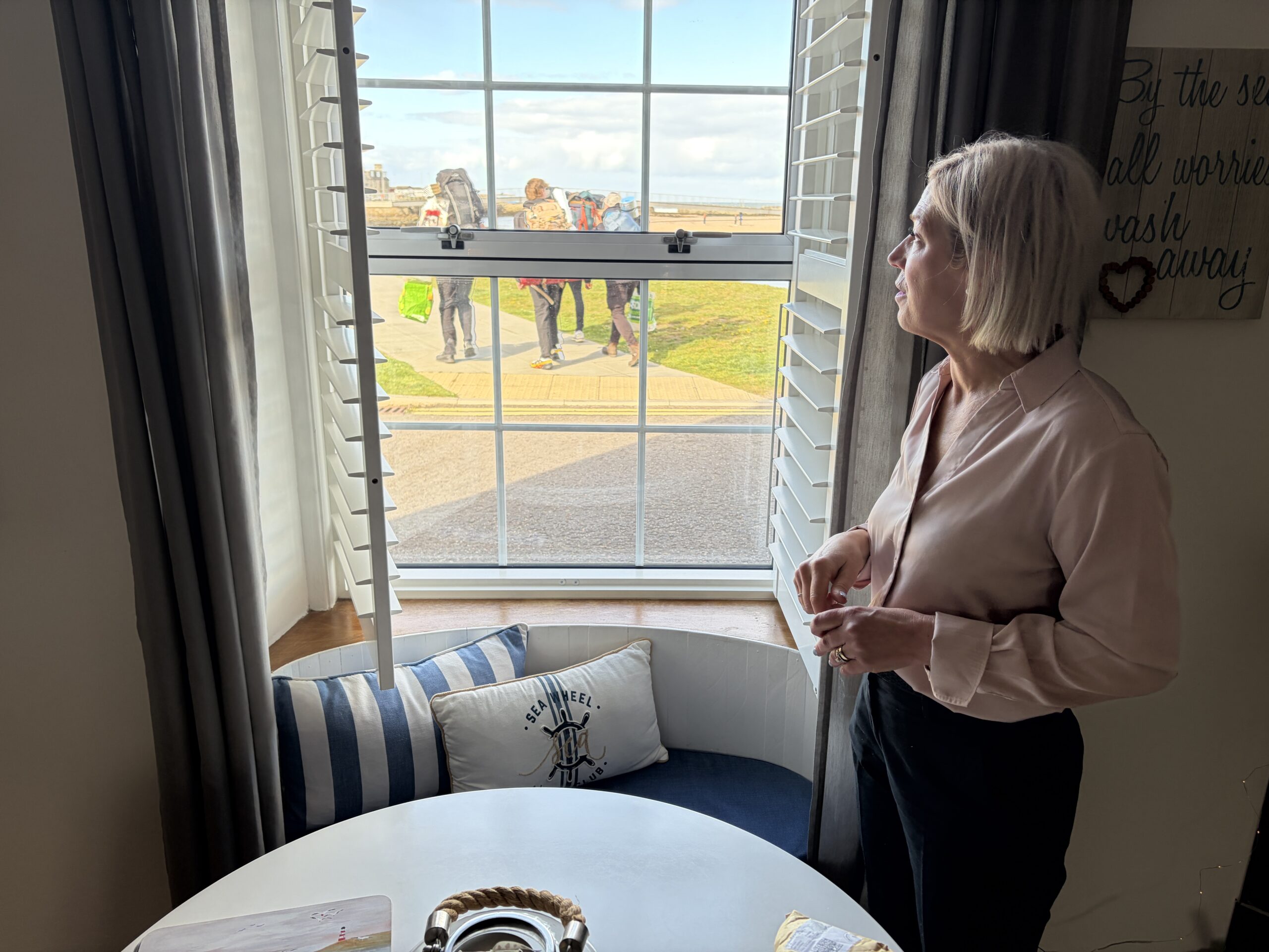
The woman who runs it, Simone, came to Lossiemouth when her husband, an Air Force officer, was assigned there.
As she showed me around, three people with backpacks appeared outside the window, moving on in the evening sun, which doesn’t set until after 9.30 at night.
I’d walked 44 miles in three days, however, and was done.
Glad you were able to find an unplanned dry and warm place to spend the night. Do know how you stay on the route when the “trails” are often invisible. Hope the weather is drier and the ground more even as you walk on!
A hard days’ night and an impressive trudge. It looks like everything clicked into place on this one when there were a lot of opportunities for single-point failures, to borrow a description of the Webb space telescope launch. You are a master of phototreportage.